Heading out the door? Read this article on the new Outside+ app available now on iOS devices for members! Download the app.
Mapped by Chris Bryson
Trail Facts
- Distance: 6.0
Waypoints
HIT001
Location: 33.0333671569824, -83.7071838378906
From parking area, cross Jarrell Plantation Rd. to reach trailhead
HIT002
Location: 33.0328483581543, -83.7077178955078
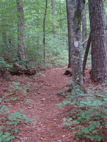
Head SW on Hitchiti Trail, a woodland trail that winds through loblolly pines, hardwoods, and leafy groundcover
HIT003
Location: 33.033317565918, -83.7104034423828
Turn R (NW) @ T (marked by 108 Loop Trail sign); hike through thick forest
HIT004
Location: 33.0334663391113, -83.7137680053711
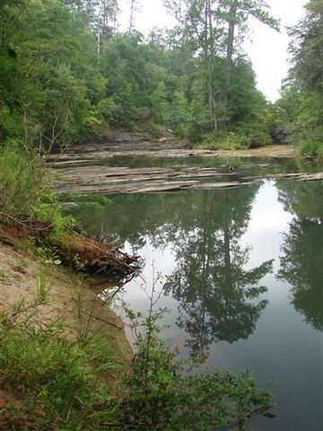
Catch a glimpse of Falling Creek’s glassy waters.
During high water levels, cascades churn in
brook. Next, turn R @ Trail 108 Loop sign; cross
footbridge
HIT005
Location: 33.0355834960938, -83.7160034179688
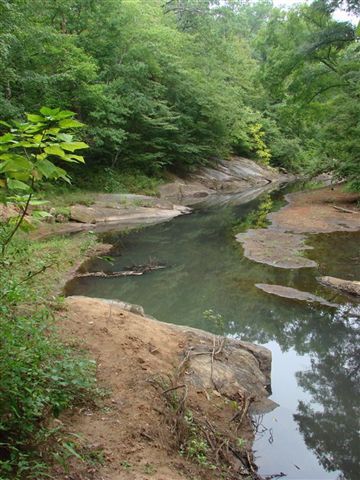
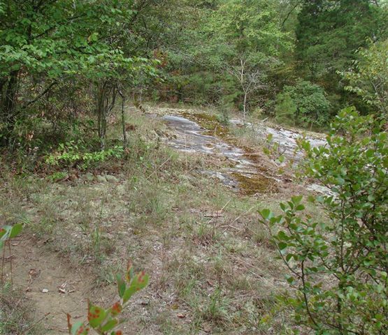
Trail skirts by several granite outcrops draped in
moss. To the R, shallow rock ledges extend into
Falling Creek
HIT006
Location: 33.0305061340332, -83.7221984863281
Cross dirt road; follow white blazes to the S
HIT007
Location: 33.0272827148438, -83.7229843139648
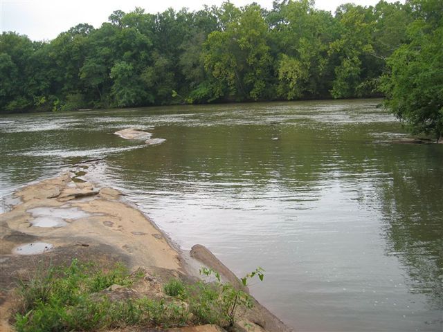
Watch Falling Creek flow into the Ocmulgee
River (a good swimming hole in warmer months).
Ahead: Path cuts across floodplain; look for white
blazes; this sometimes-muddy trail can be tricky
to follow
HIT008
Location: 33.0247840881348, -83.7195510864258
Boulders rest between trees on L as trail ascends from streambed
HIT009
Location: 33.0212821960449, -83.7207870483398
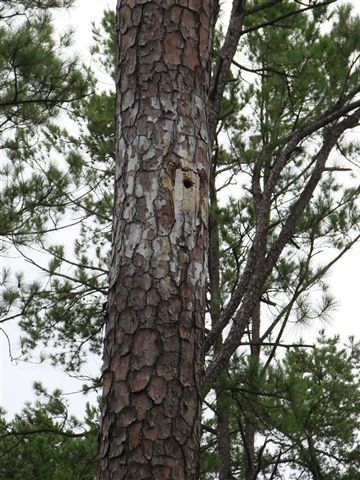
Turn L, heading NE, onto forest service road. Look closely for pines outfitted with nesting boxes for endangered red-cockaded woodpeckers
HIT010
Location: 33.0276184082031, -83.7119522094726
L @ Y. In 500 ft., turn R @ T to close loop @
trailhead
Loop Trail
Location: 33.0335121154785, -83.7106628417969
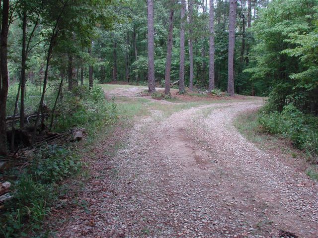
A view down Falling Creek
Location: 33.0310020446777, -83.7224197387695
Confluence
Location: 33.0271606445312, -83.7228317260742
A view of the Ocmulgee River and Falling Creek confluence
Falling Creek
Location: 33.0335426330566, -83.7130813598633
Forest Road
Location: 33.0279884338379, -83.7117233276367
Gneiss Outcrops
Location: 33.0358467102051, -83.7158889770508
Nesting Box
Location: 33.0215187072754, -83.7202911376953