La Plata: Colorado's Hidden Treasure

'If you're willing to brave early-season mud, you can nab this view from the West Mancos Overlook, mere steps from Transfer Campground. Catch…'
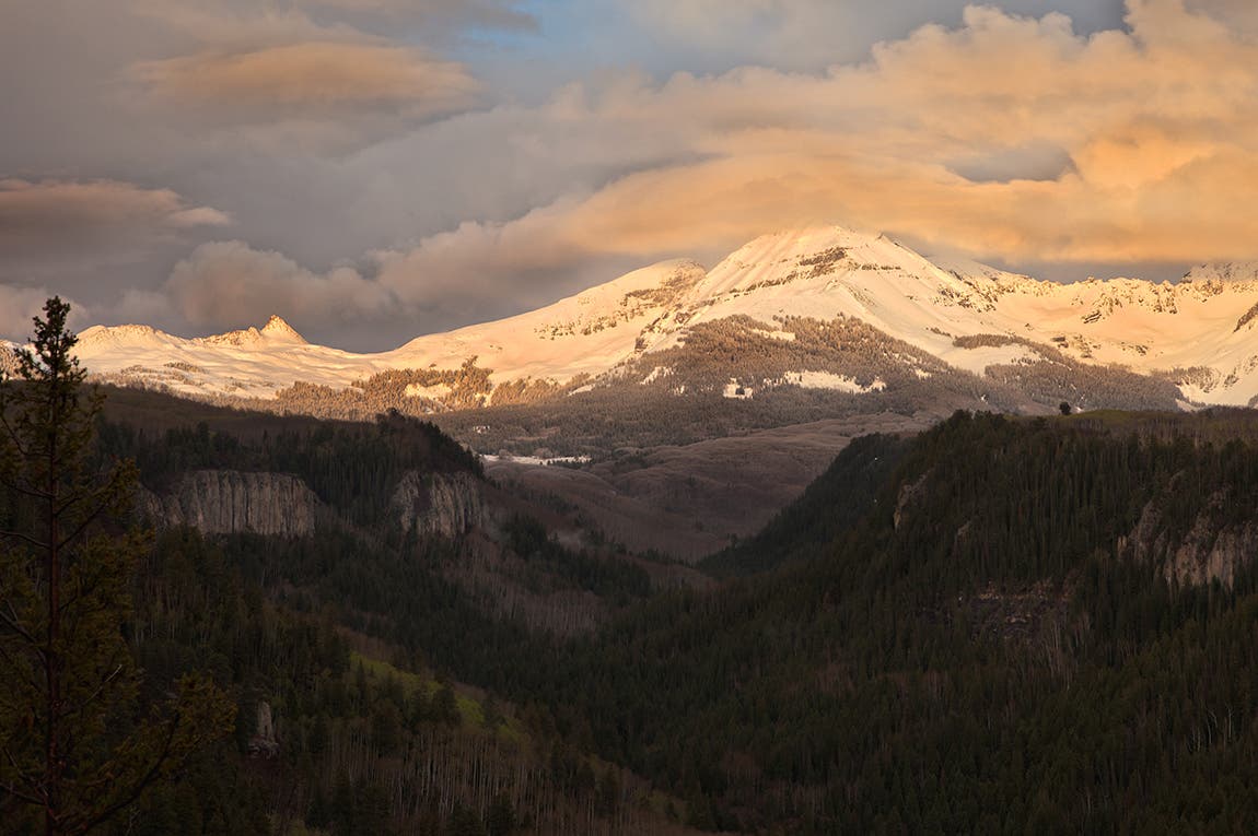
If you’re willing to brave early-season mud, you can nab this view from the West Mancos Overlook, mere steps from Transfer Campground. Catch orange-to-pink-to-purple light that bathes the west faces of the La Platas at sunset. [photo: Mike Wilkinson]
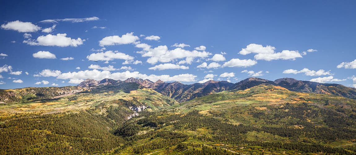
The La Plata Mountains are a range in the southwest San Juan National Forest. Travelers easily overlook this area in favor of Mesa Verde National Park, which sits right across the highway. [photo: Mike Wilkinson]
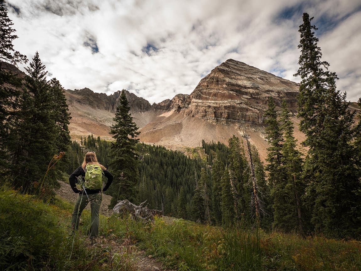
You can’t miss this view. Just a mile into the Sharkstooth trail, the forest opens up, revealing the immense Hesperus Mountain, the highest summit in the La Plata range. To the Navajo, Hesperus is the Sacred Mountain of the North. [photo: Mike Wilkinson]
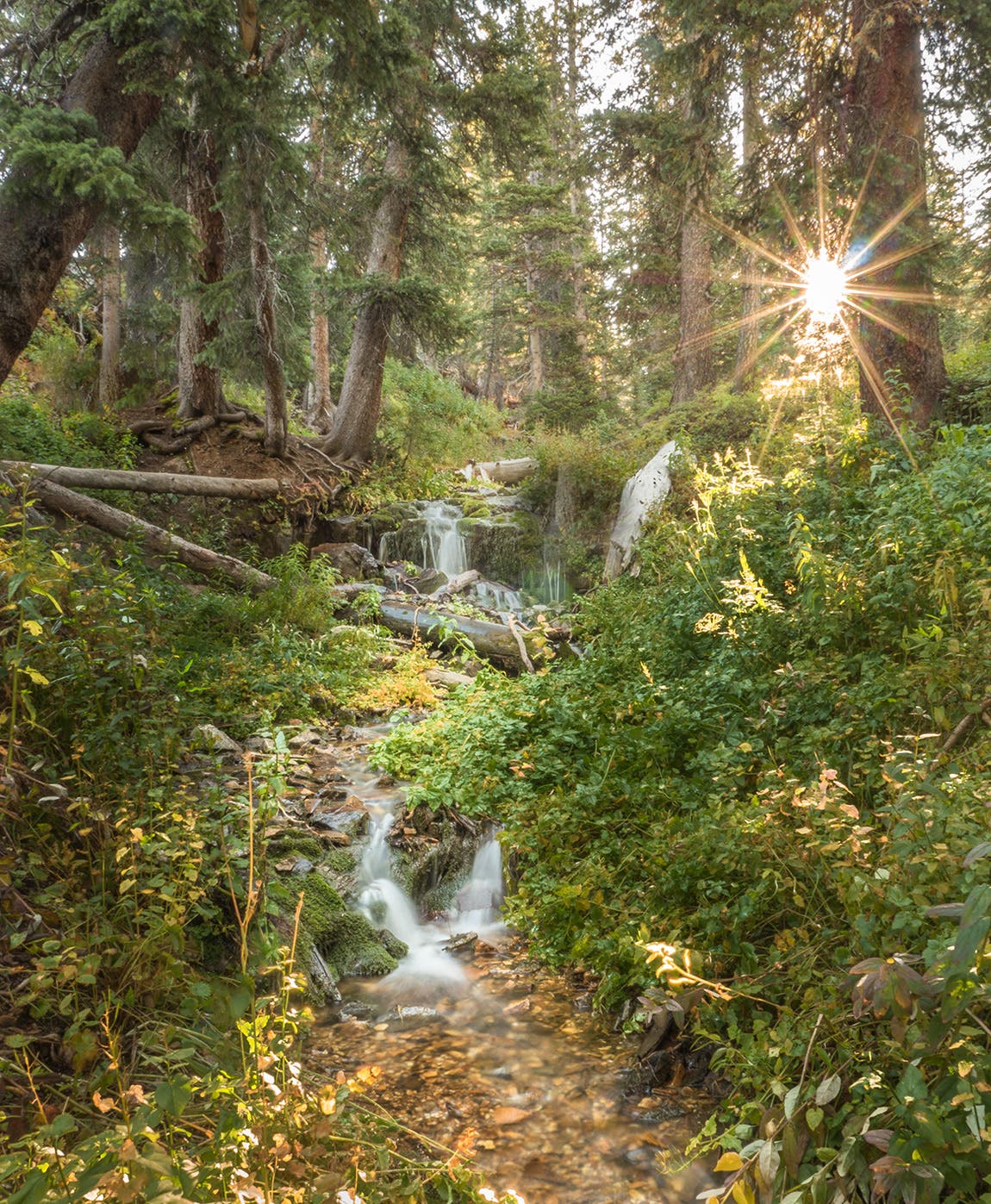
The Sharkstooth Trailhead can be found at the end of the Forest Road 346 (4WD recommended). From here, hikers can head east to Sharkstooth Pass. Shortly into the trail, this cascading stream weaves its way alongside the path. [photo: Mike Wilkinson]
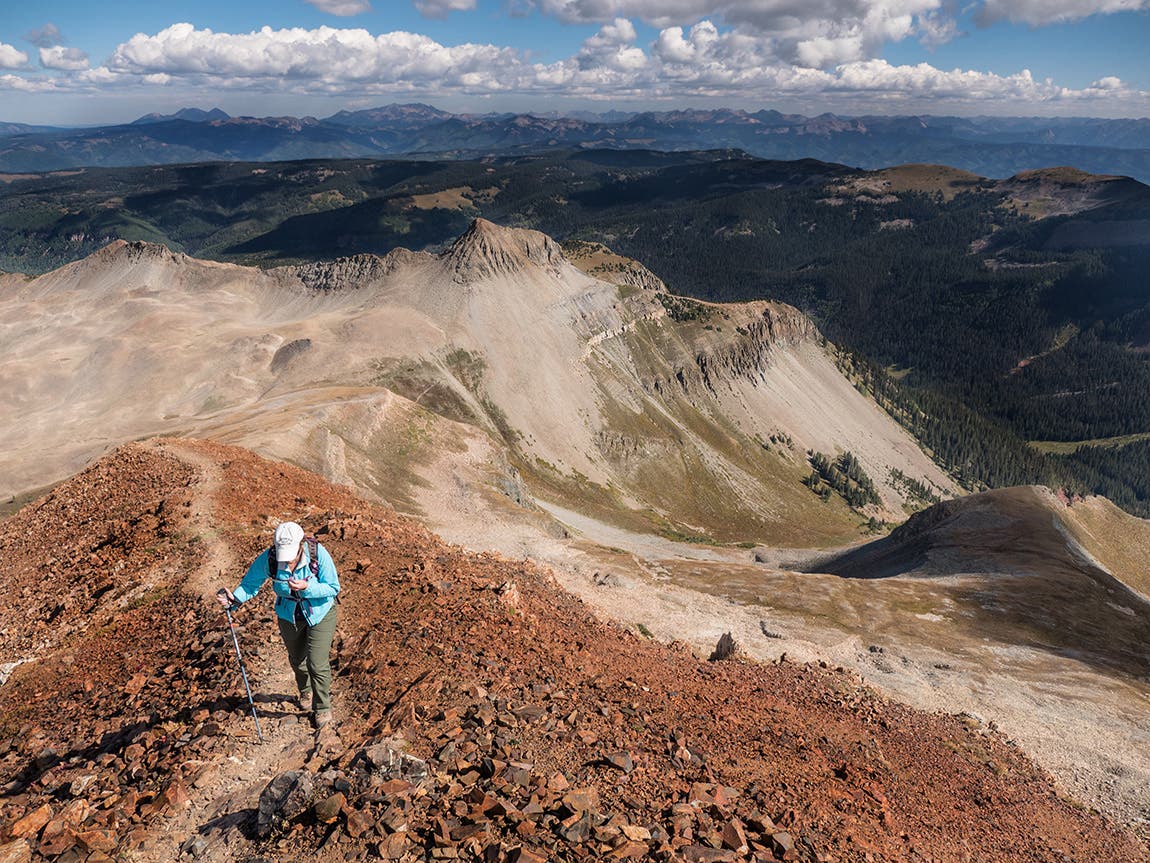
From Sharkstooth Pass (11,936 ft), hikers who want a few more miles and another 1,000 feet of gain can ascend to the top of Centennial Peak, sitting at 13,062 feet. Wonderful views of Sharkstooth Peak greet you to the northwest. [photo: Mike Wilkinson]
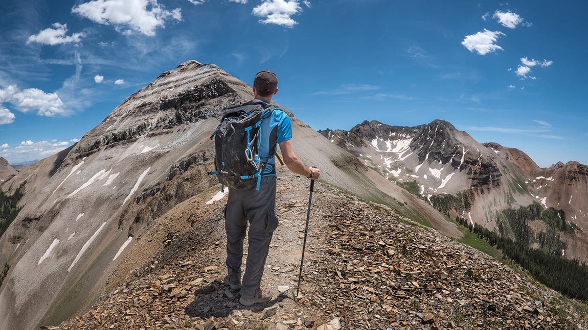
There are two different approaches to get onto the west ridge of Hesperus Peak, but both require navigating through boulder fields and pine forests. Once on the ridge, an enjoyable three-mile hike with a few short scrambles leads to the summit which sits at 13,237 feet. [photo: Mike Wilkinson]
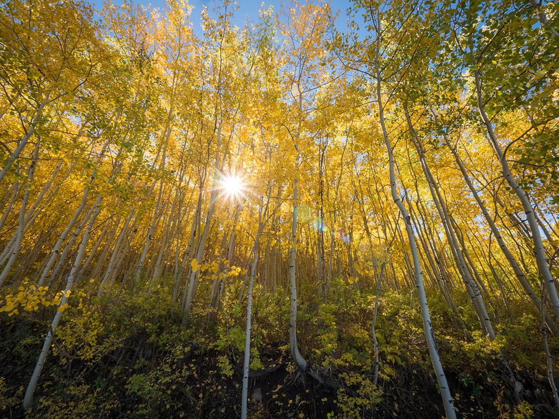
In fall, the aspen leaves turn into an incredible wash of yellow, orange, and gold. [photo: Mike Wilkinson]
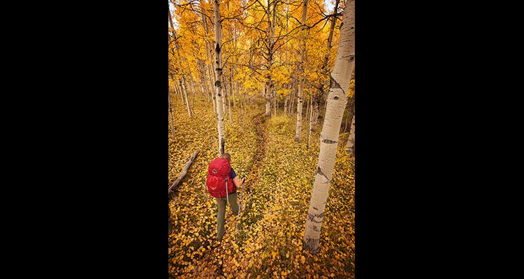
While visitors may want to head for the mountains right away, the cliffs of the Rampart Hills are accessible from some of the same trails. Just west of the La Plata range, near the T-Down Park corral, a pleasant 5.5 mile loop heads west above the hills and immediately meanders through a wonderful aspen grove before heading south and below the cliffs. [photo: Mike Wilkinson]
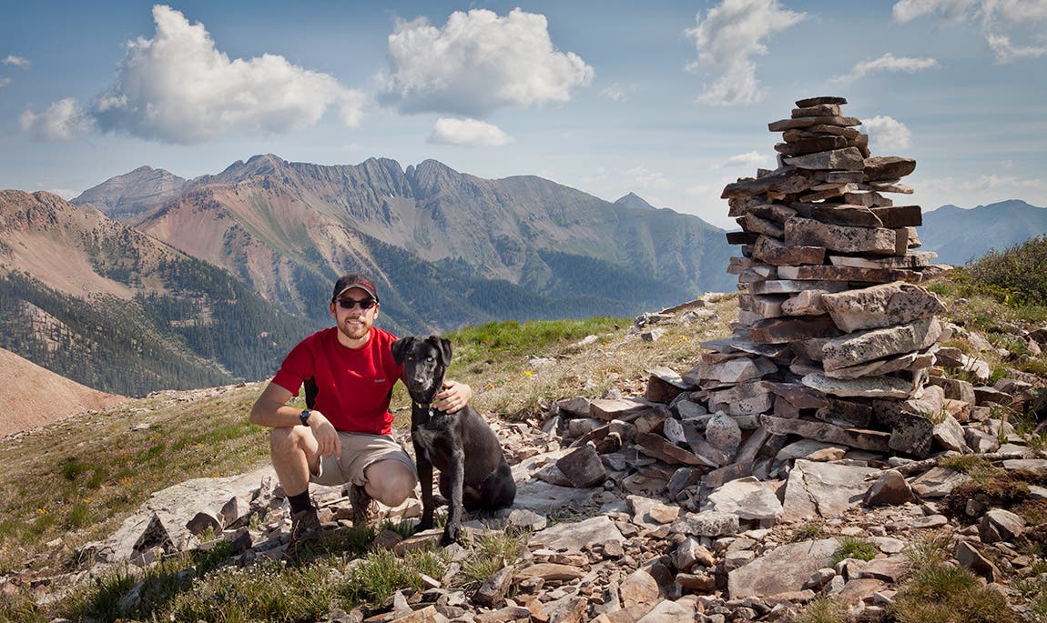
Drive along Madden Peak Road 316 until it ends, and then navigate for about 3.5 miles through wildflowers and talus for the last mile, ascending to Madden Peak at 11,400 feet. Here, the photographer and his dog, Cortez, stop for a photo-op. [photo: Mike Wilkinson]
Mike Wilkinson is a freelance video producer and photographer specializing in documentary and outdoor productions. His work has been featured by Climbing Magazine, Gizmodo, ESPN, Red Bull, and other outlets. Mike is also a regular contributor to the creative blogs Resource Online and Fstoppers.com, where he writes about outdoor adventure multimedia and technology.