Switzerland: Via Alpina
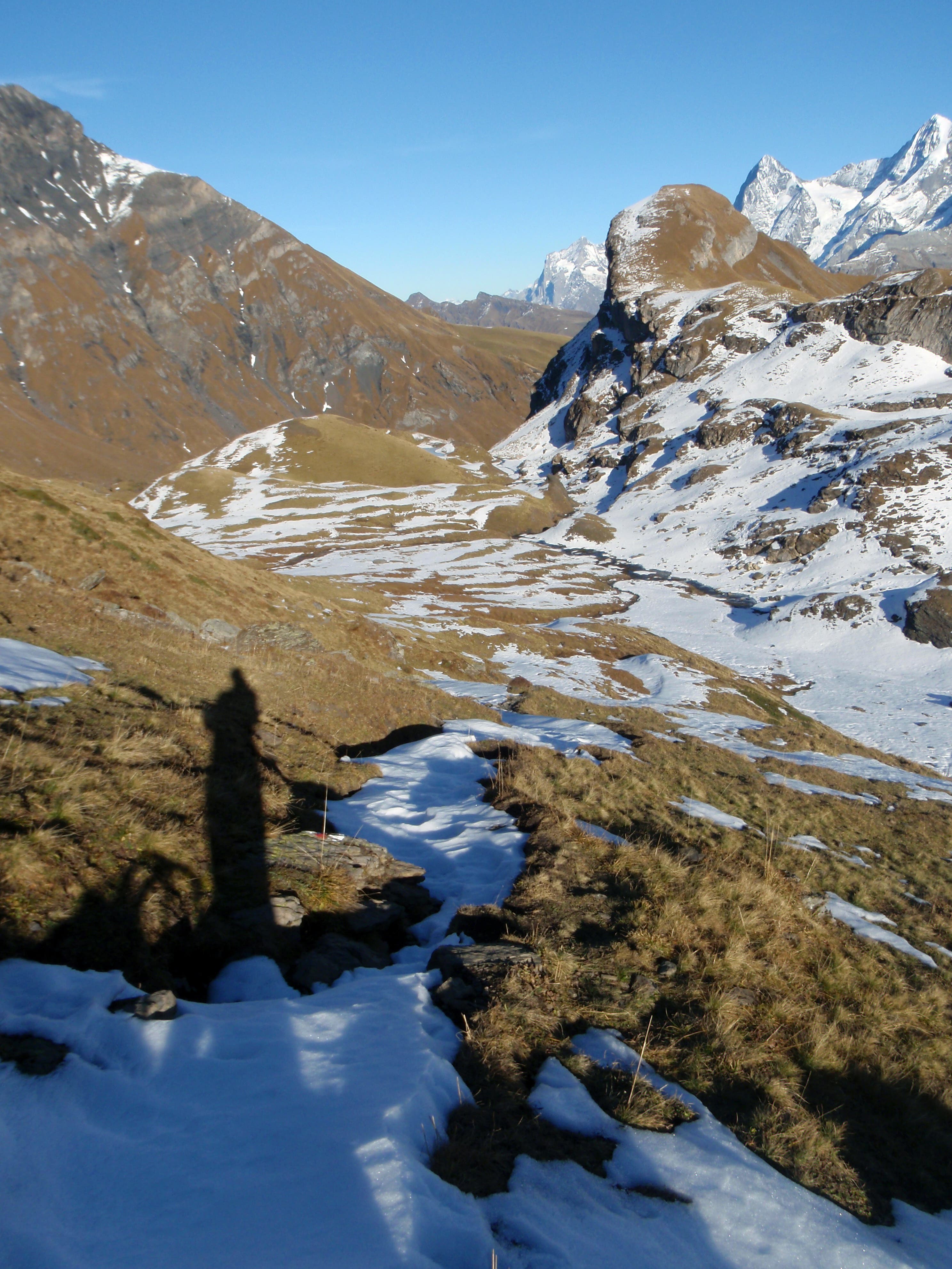
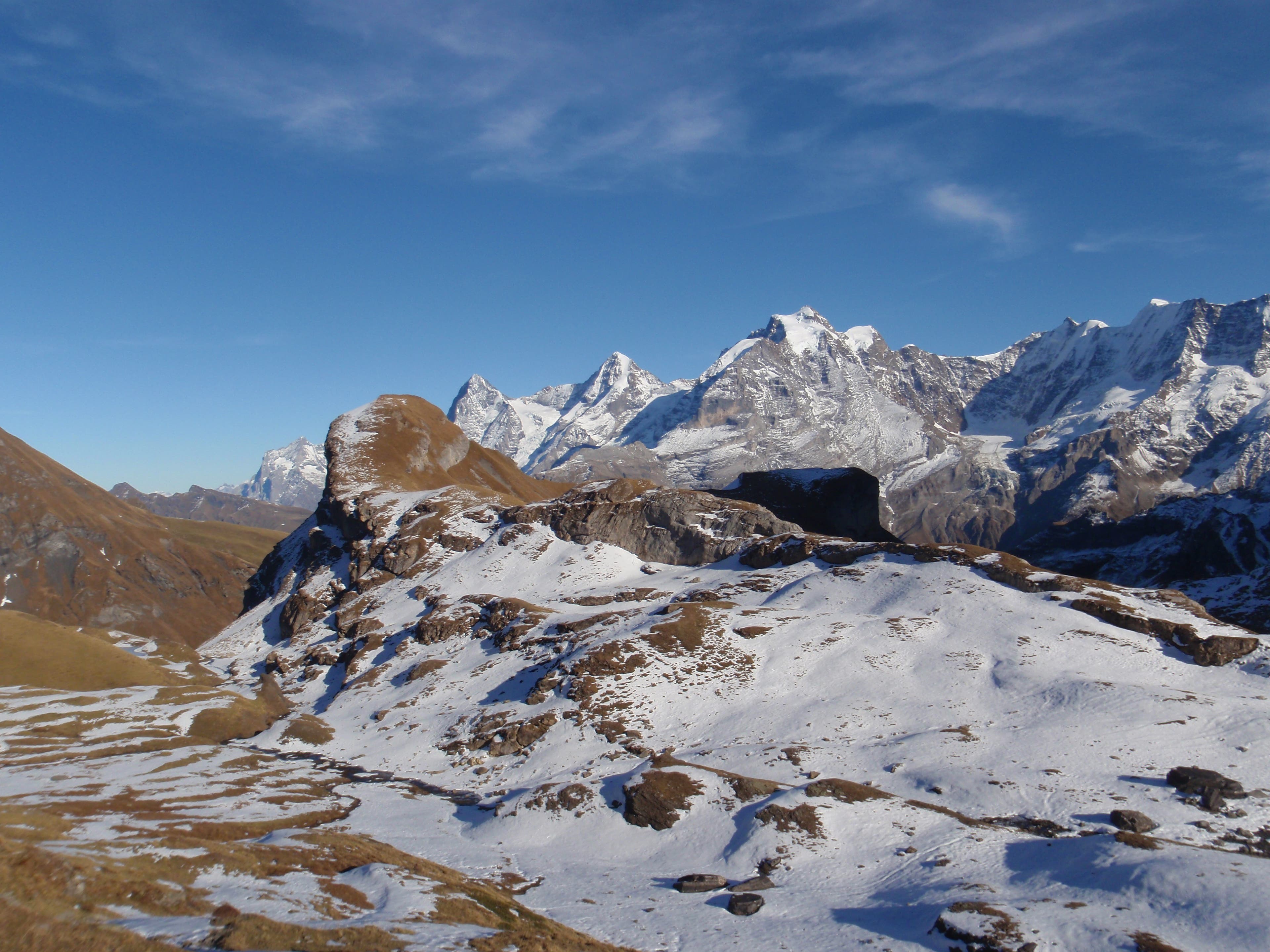
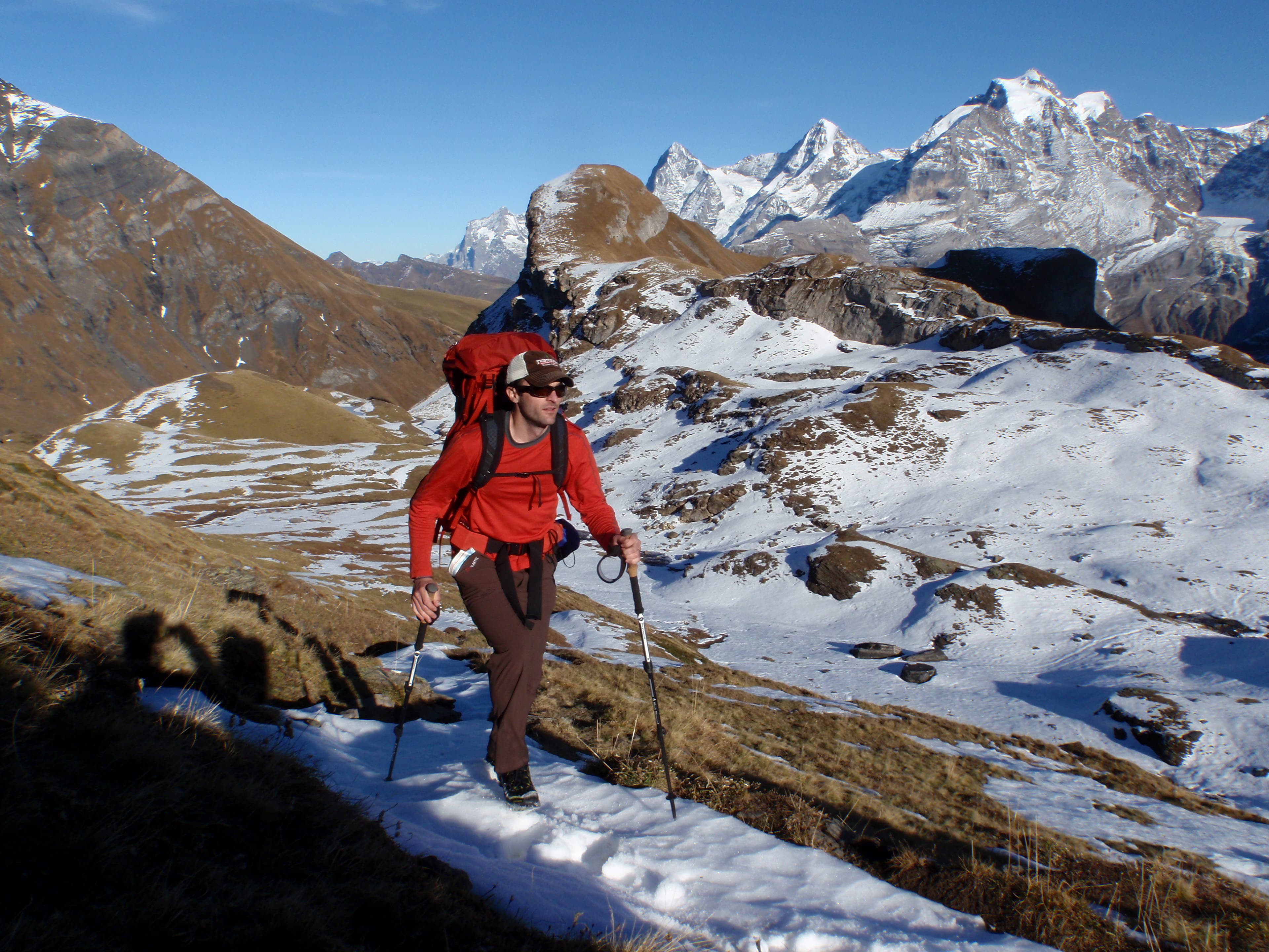
Established just five years ago, the Via Alpina is Europe’s first trans-Alps trail. This 3,500-mile link-up of local wanderwegs—many of them hundreds or thousands of years old—winds through eight countries along the backbone of, Europe’s greatest mountain range.
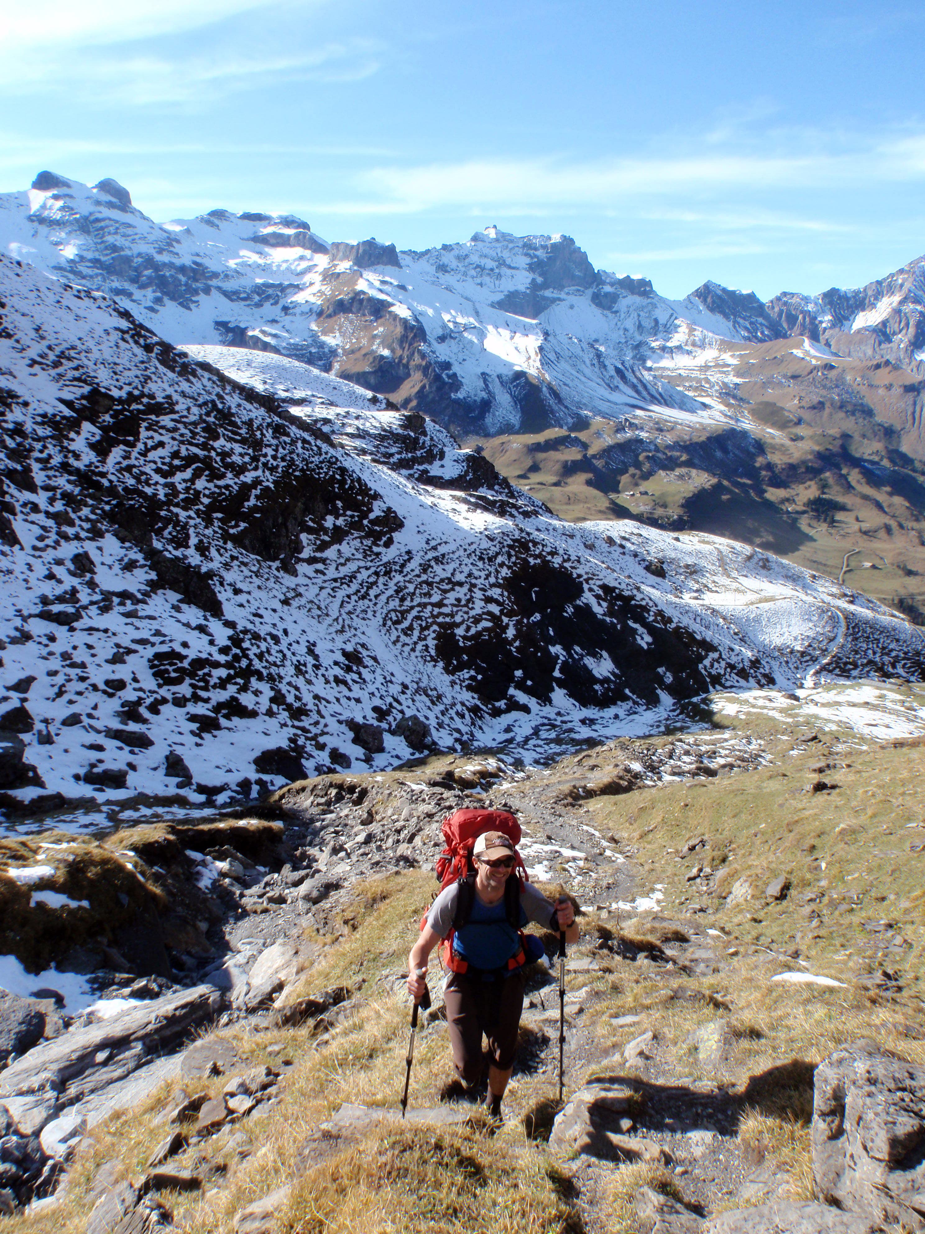
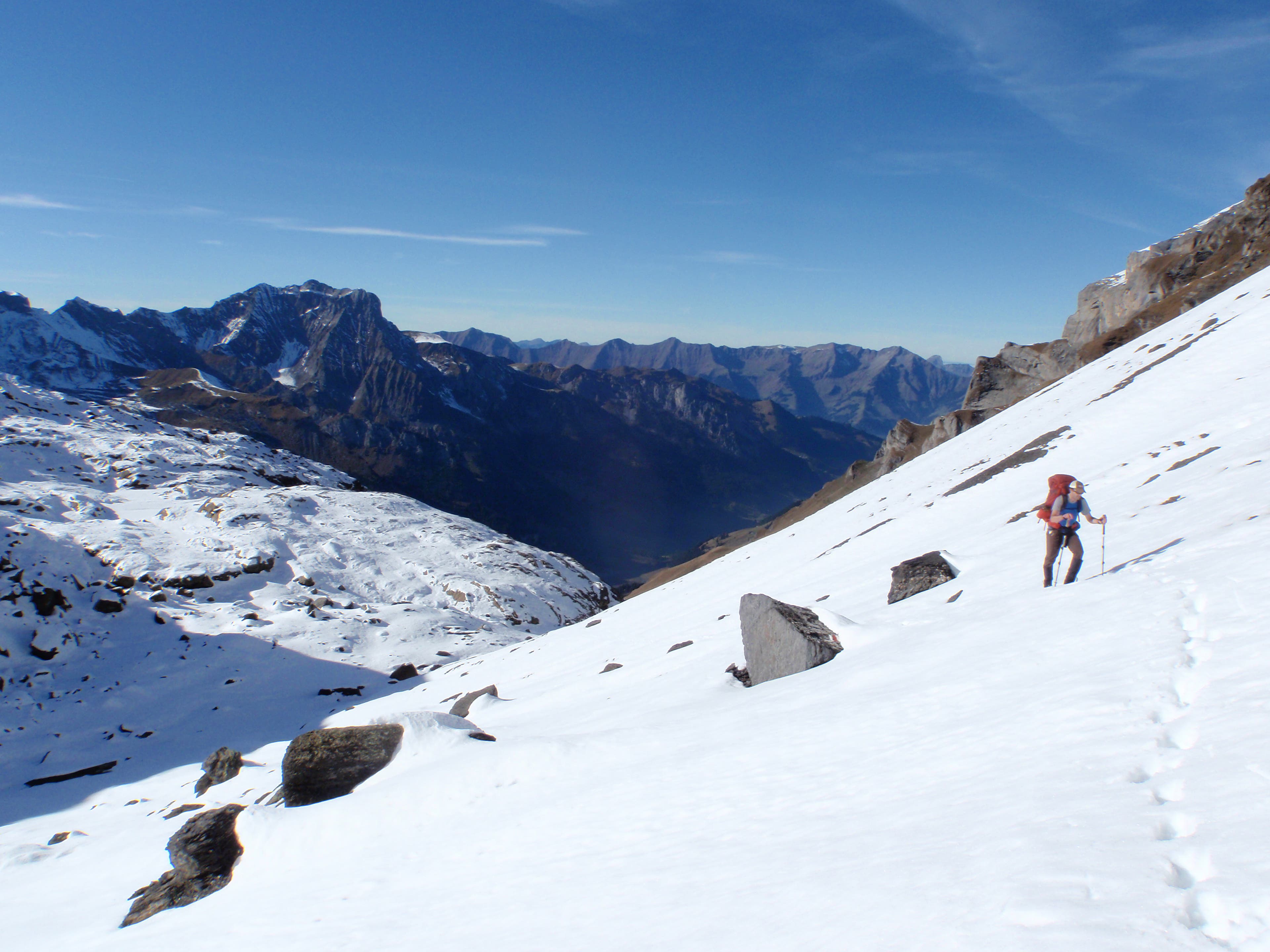
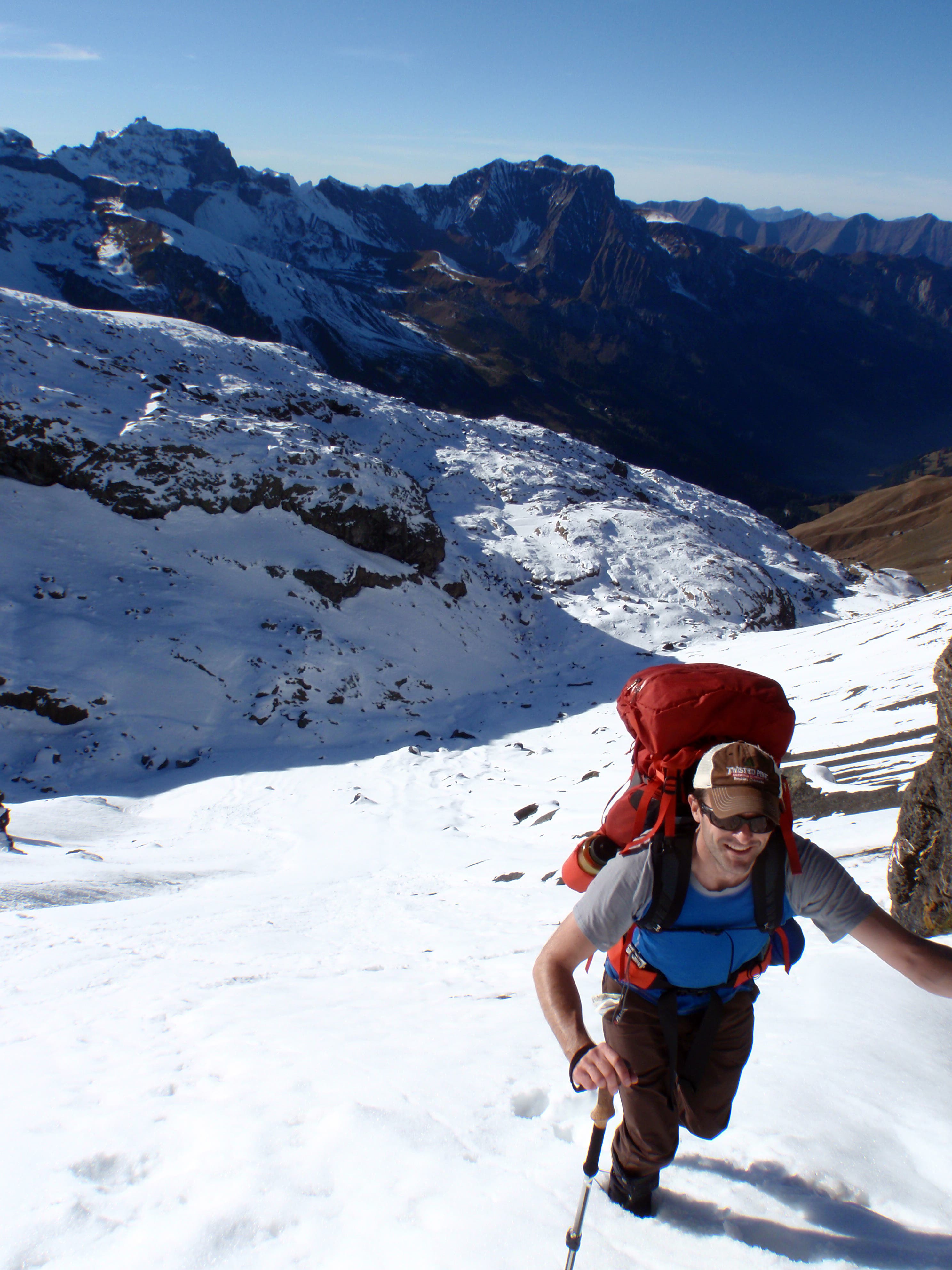
You’d need more than a year off (not to mention some serious bail-out money) to hike the whole thing—which is why we scoured the route to find its greatest, most mountainous 100 miles. Hiking from the Swiss villages of Adelboden to Altdorf, you’ll cross the route’s tallest passes, snack on local cheeses and chocolates (so tasty you’ll be ruined for life), and have a chance to summit the Monch, a Mount Rainier-like peak and Eiger neighbor that you can climb in an afternoon.
-Mapped by Backpacker Editors

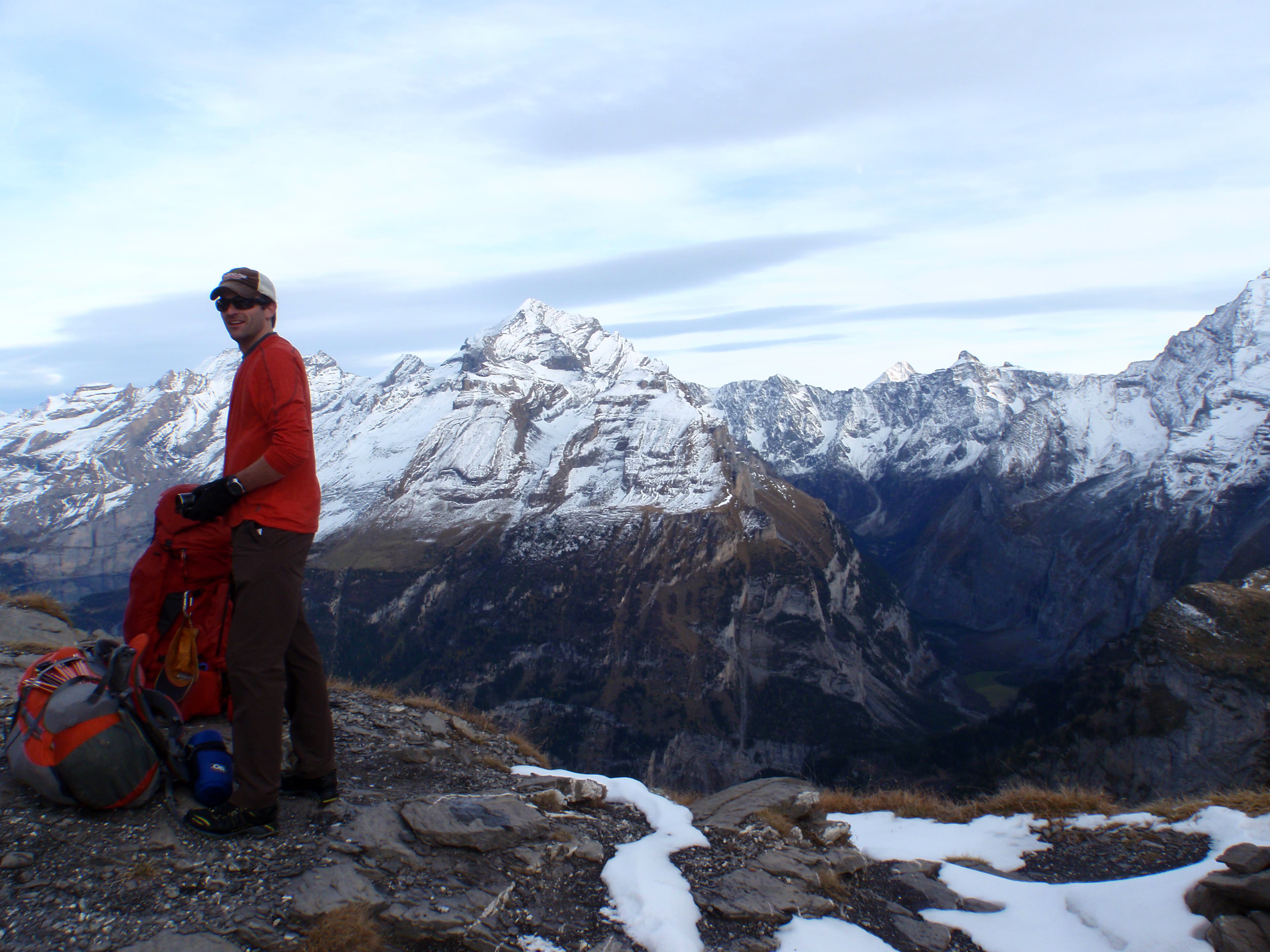
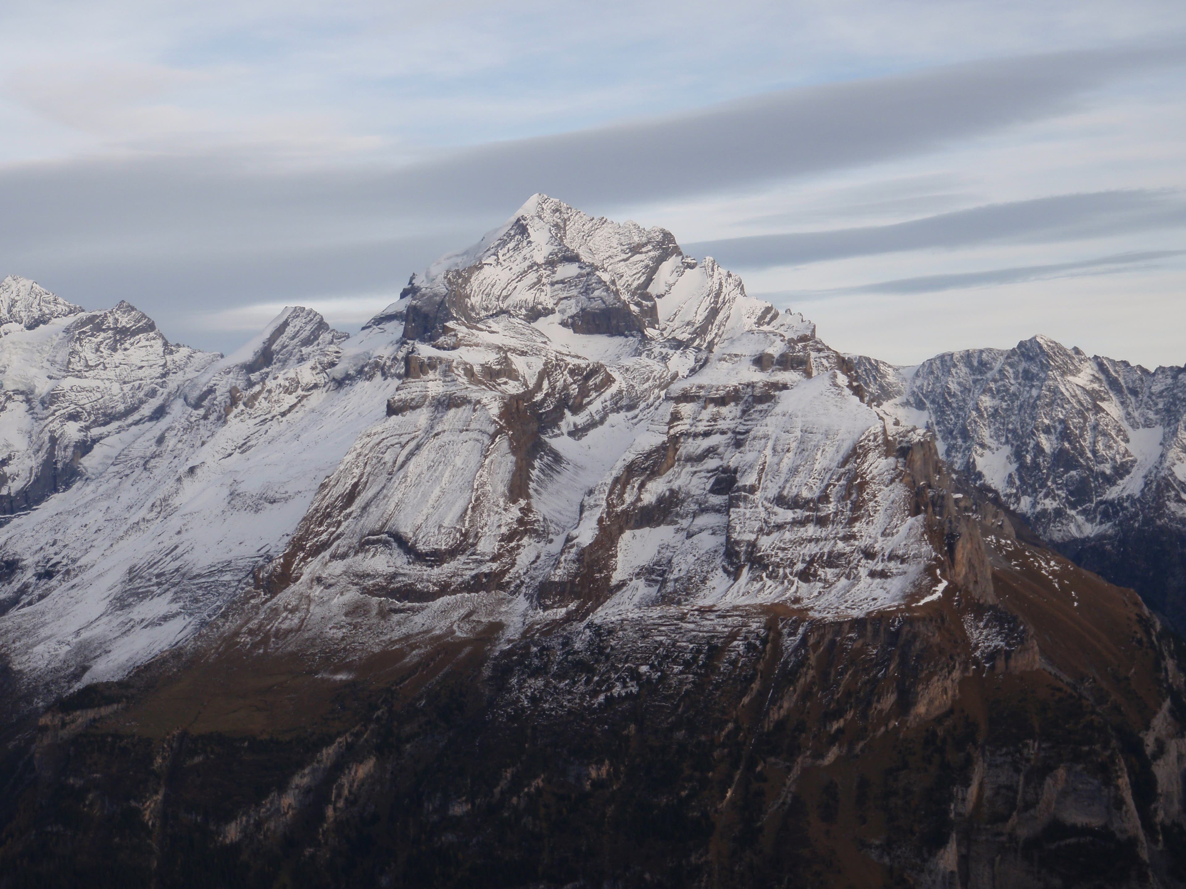
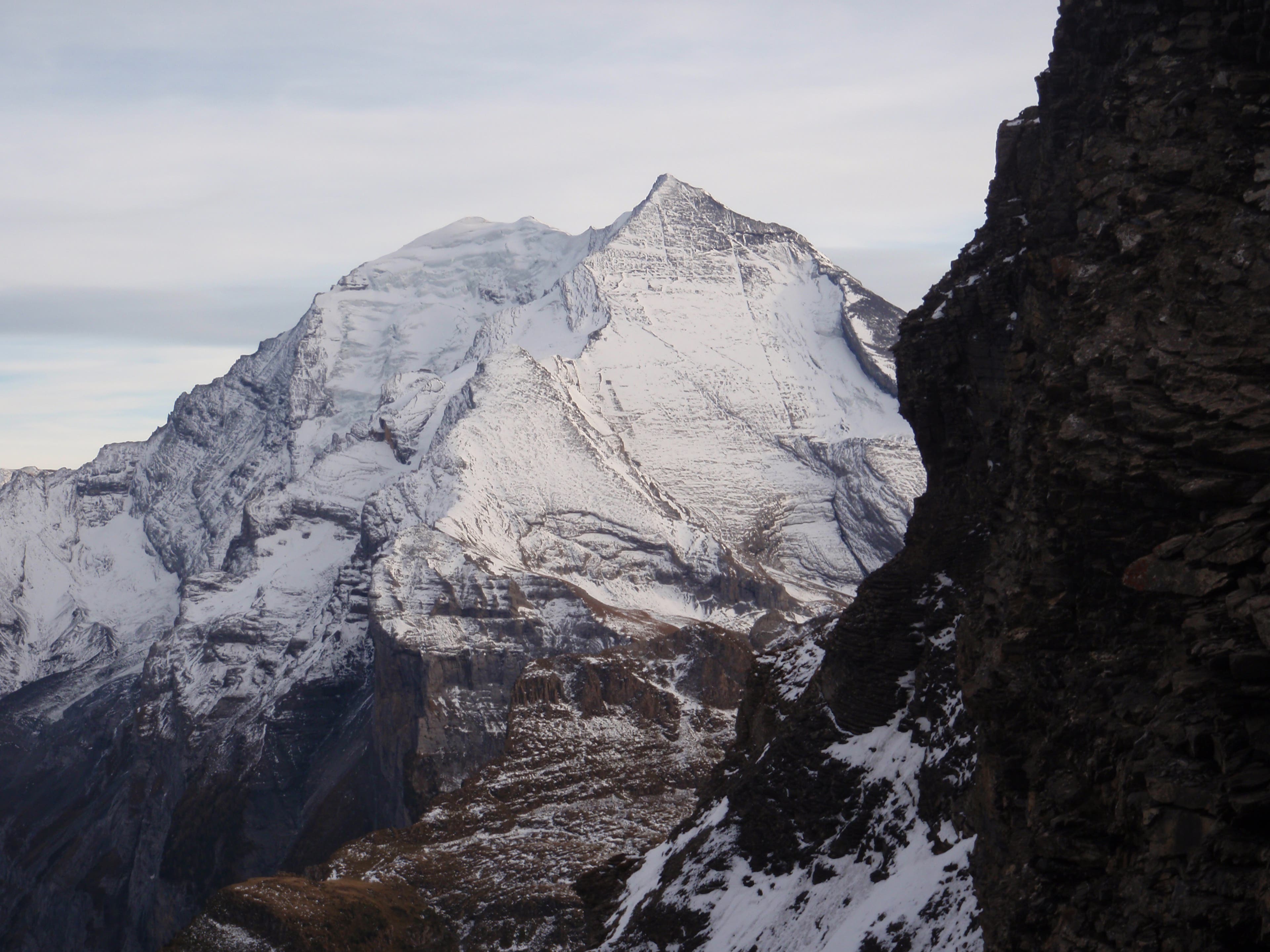
Trail Facts
- Distance: 160.3
Waypoints
VIA001
Location: 46.493479, 7.560155
Adelboden: Bus station at Adelboden
VIA002
Location: 46.491149, 7.563545
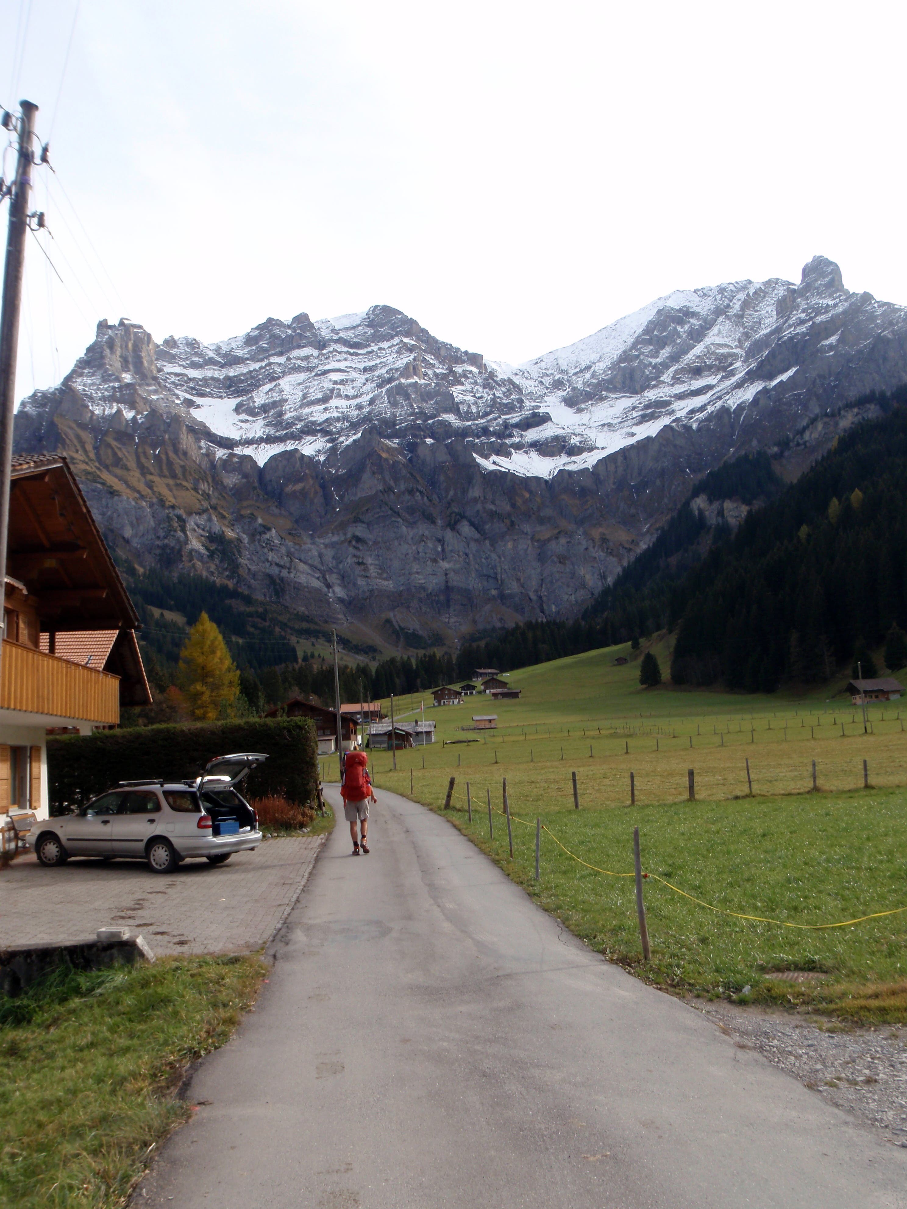
Beginning the climb out of Adelboden to Bunderchrinde Pass.
VIA003
Location: 46.491121, 7.563626
Beginning the climb out of Adelboden to Bunderchrinde Pass.
VIA004
Location: 46.491095, 7.56377
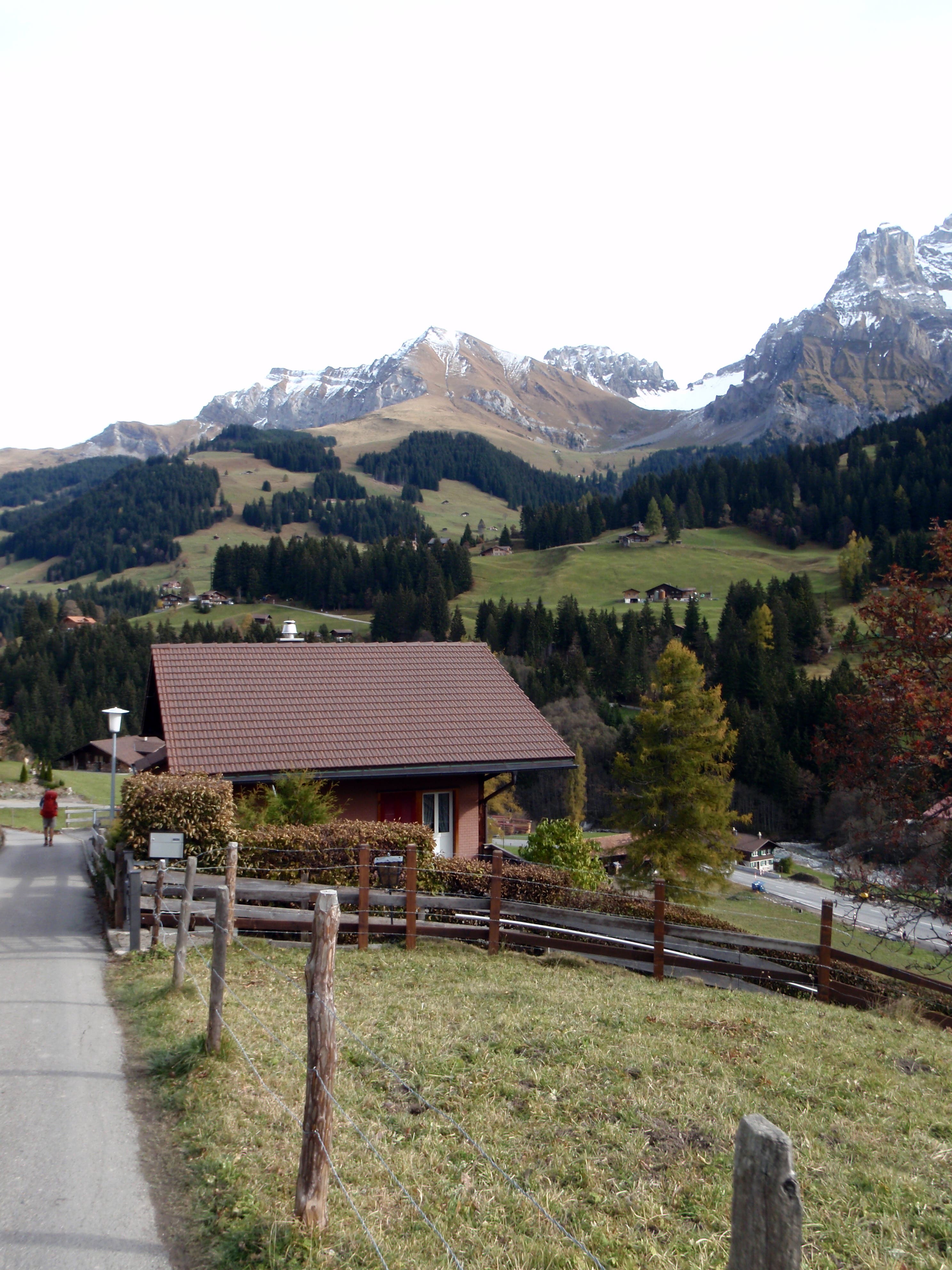
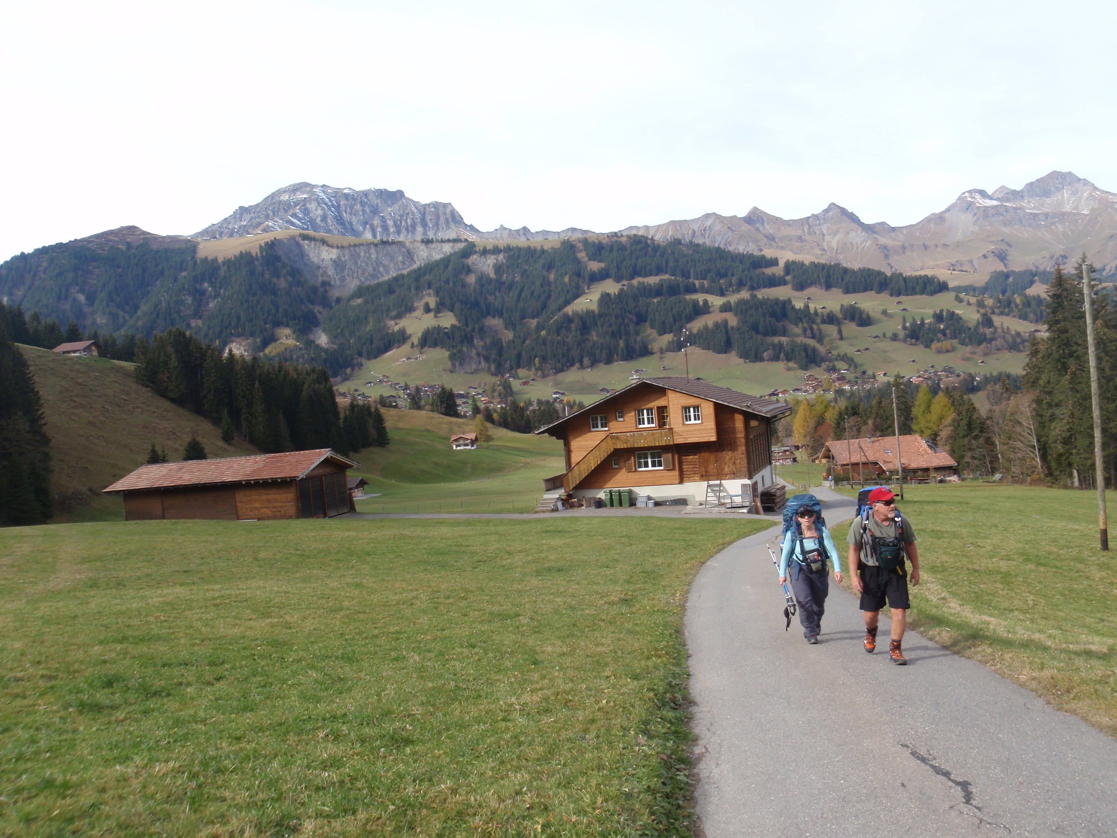
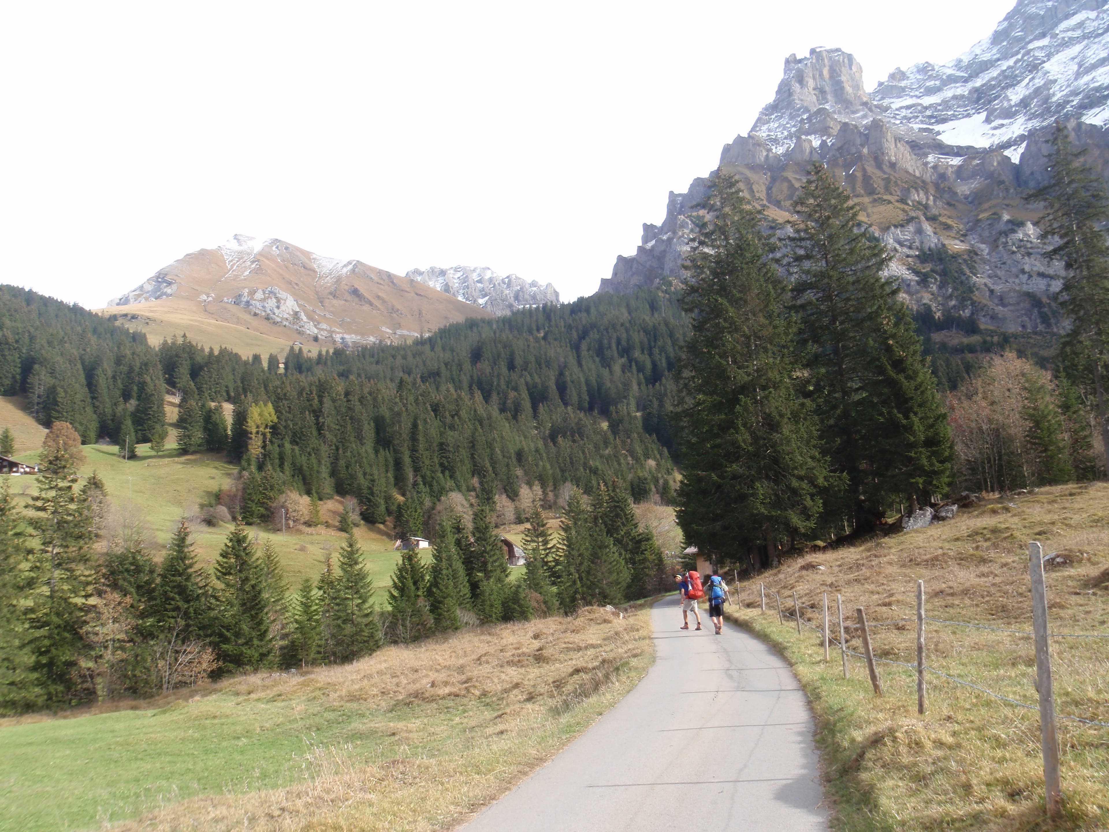
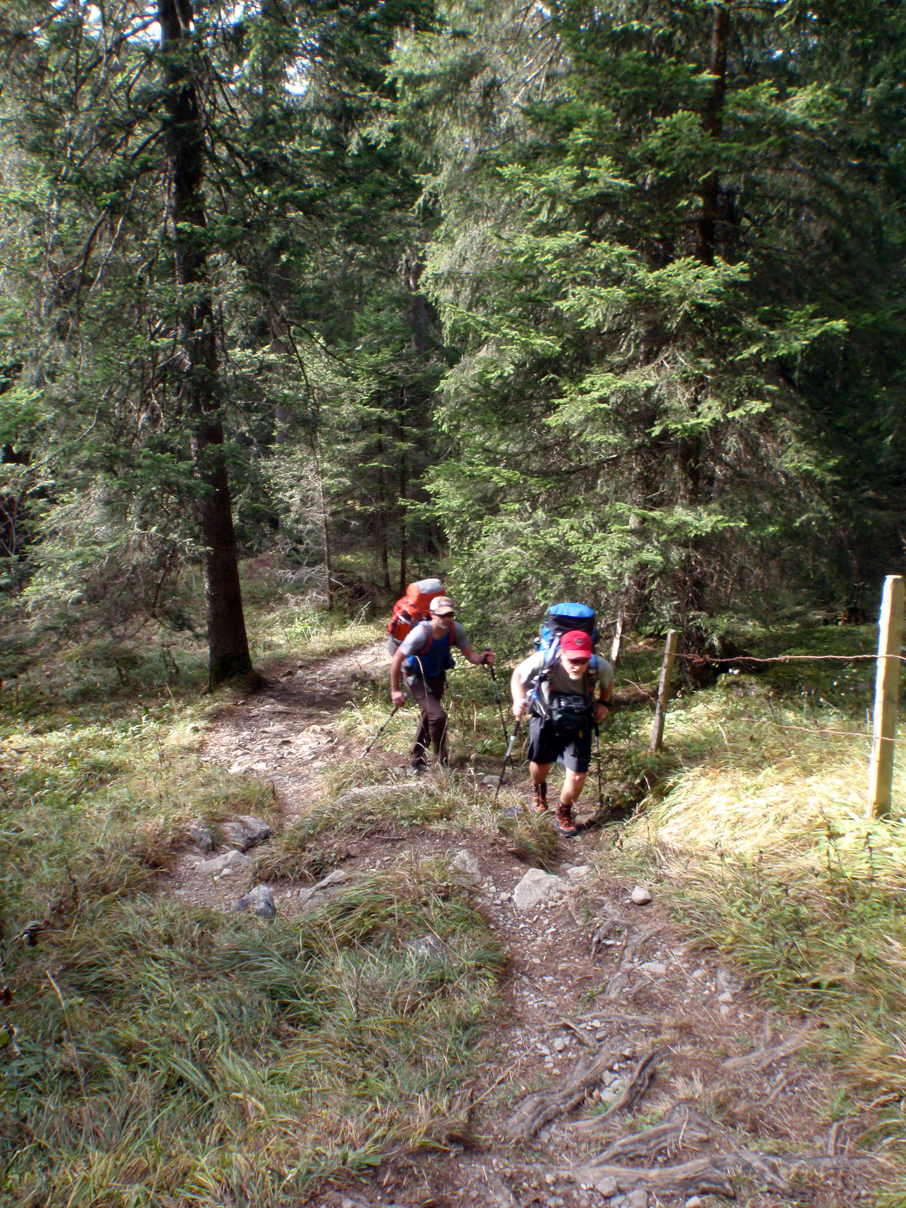
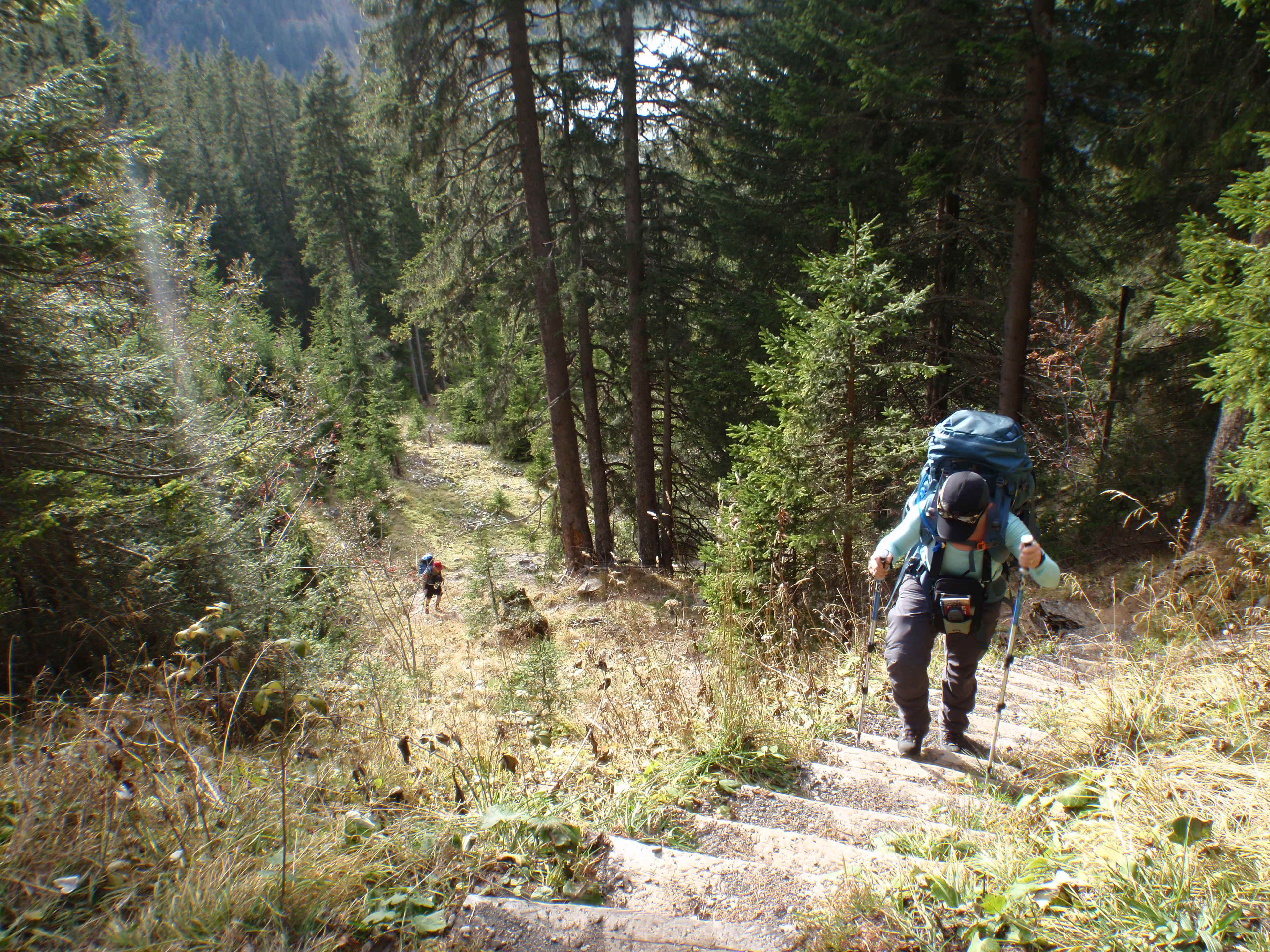
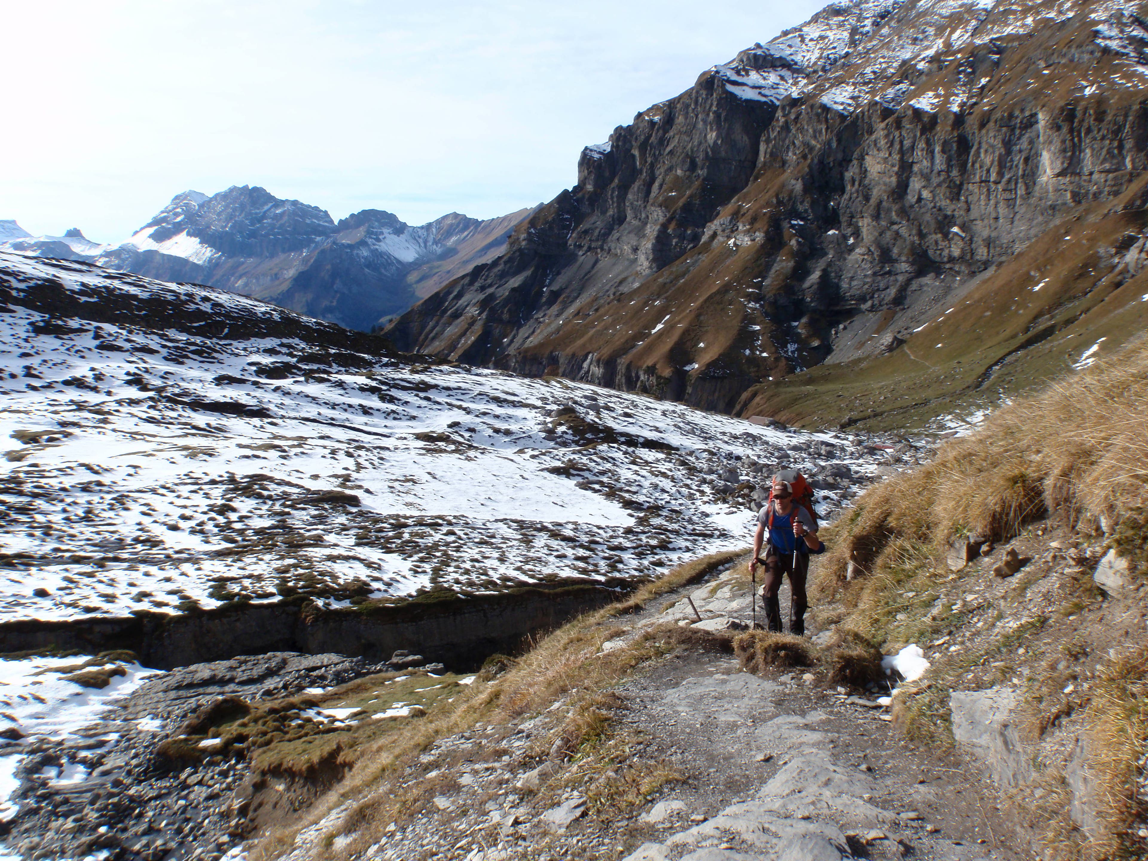
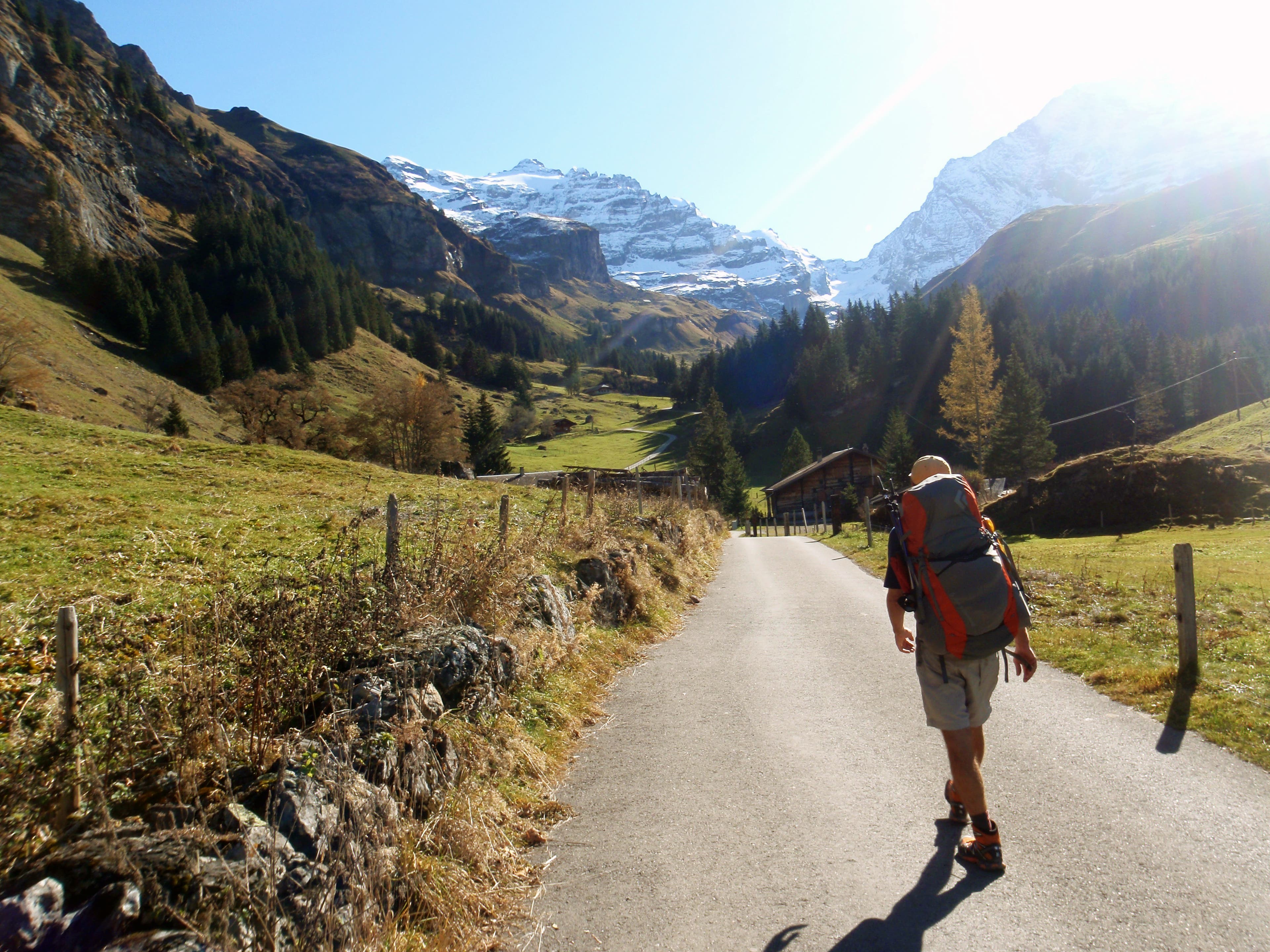
You’ll climb from town on narrow paved roads, dirt farm roads, and trails.
VIA005
Location: 46.489625, 7.566323
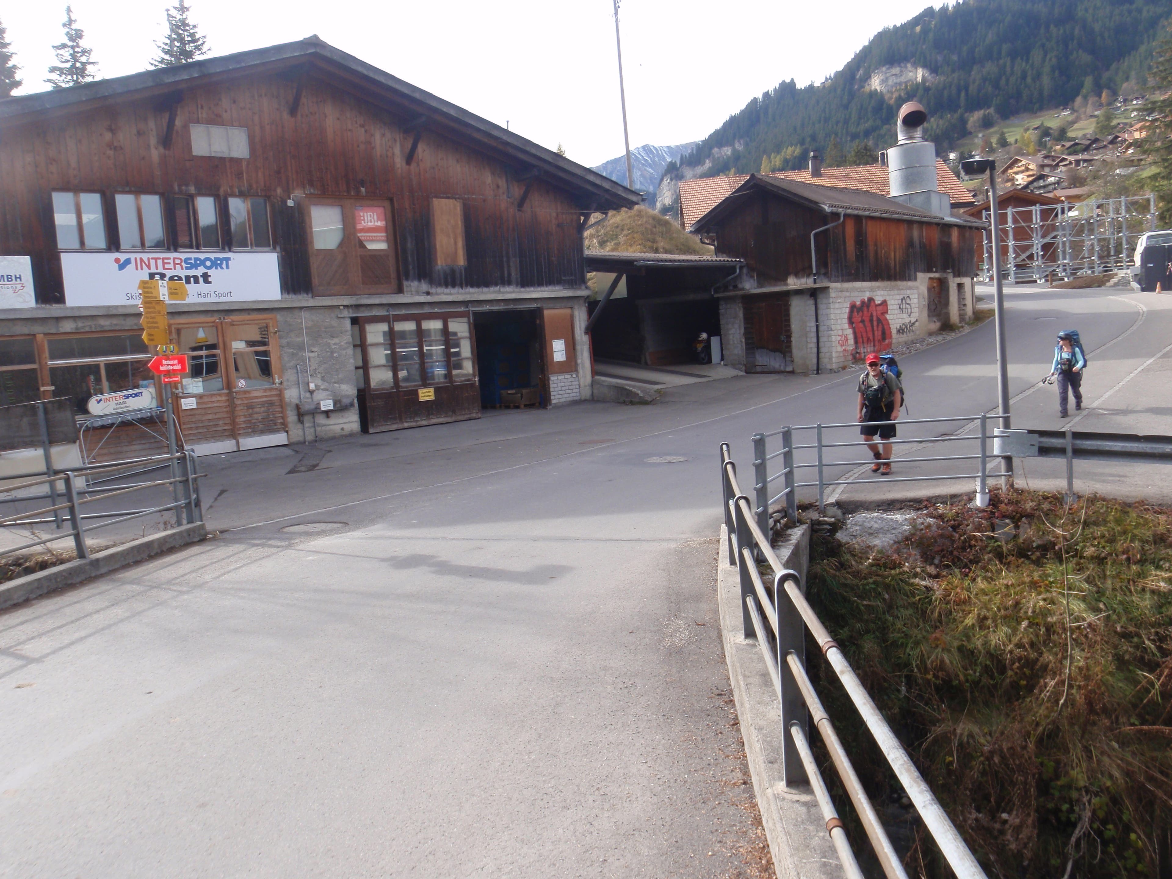
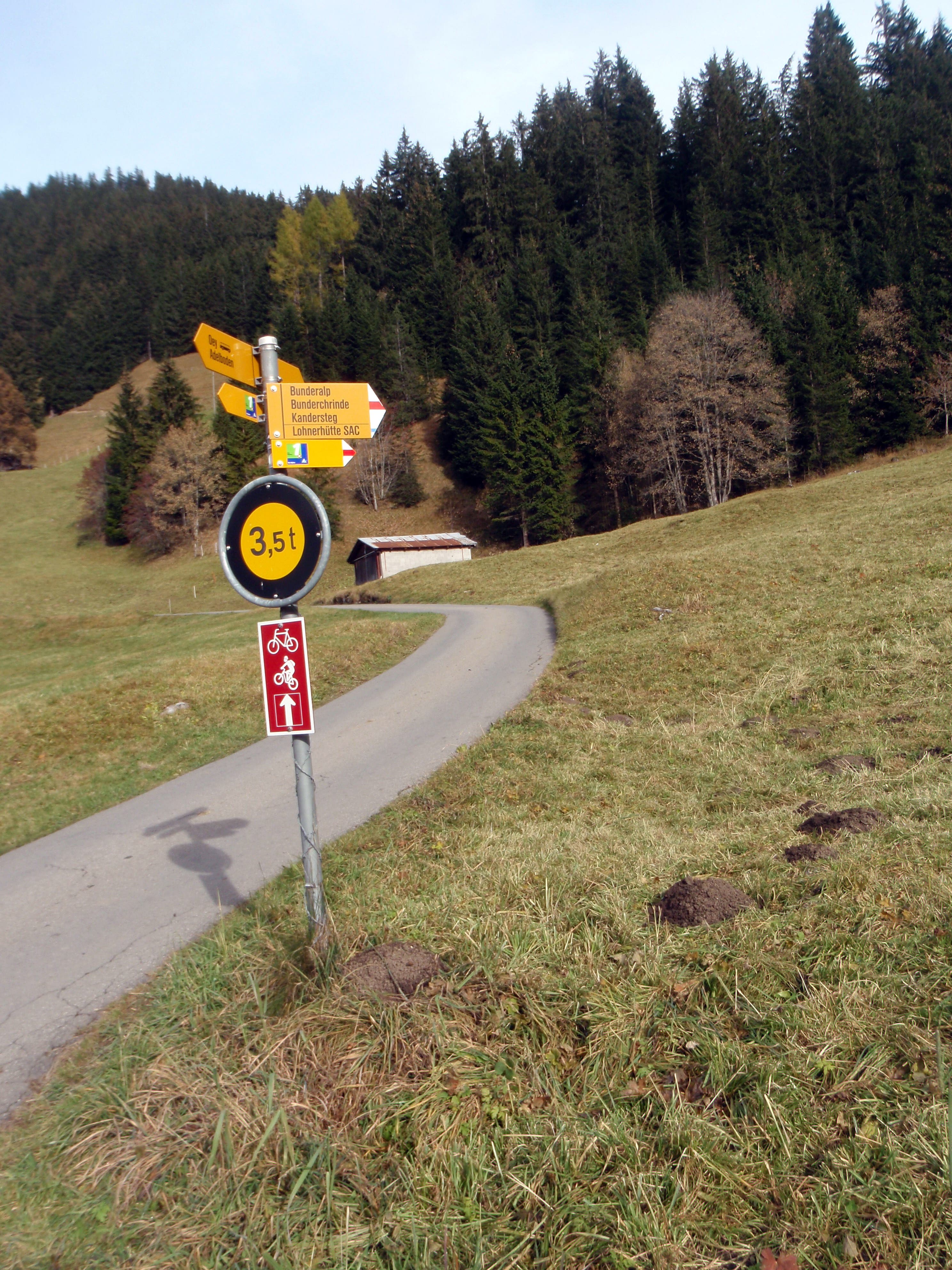
Hang a left at this intersection.
VIA006
Location: 46.492437, 7.57663
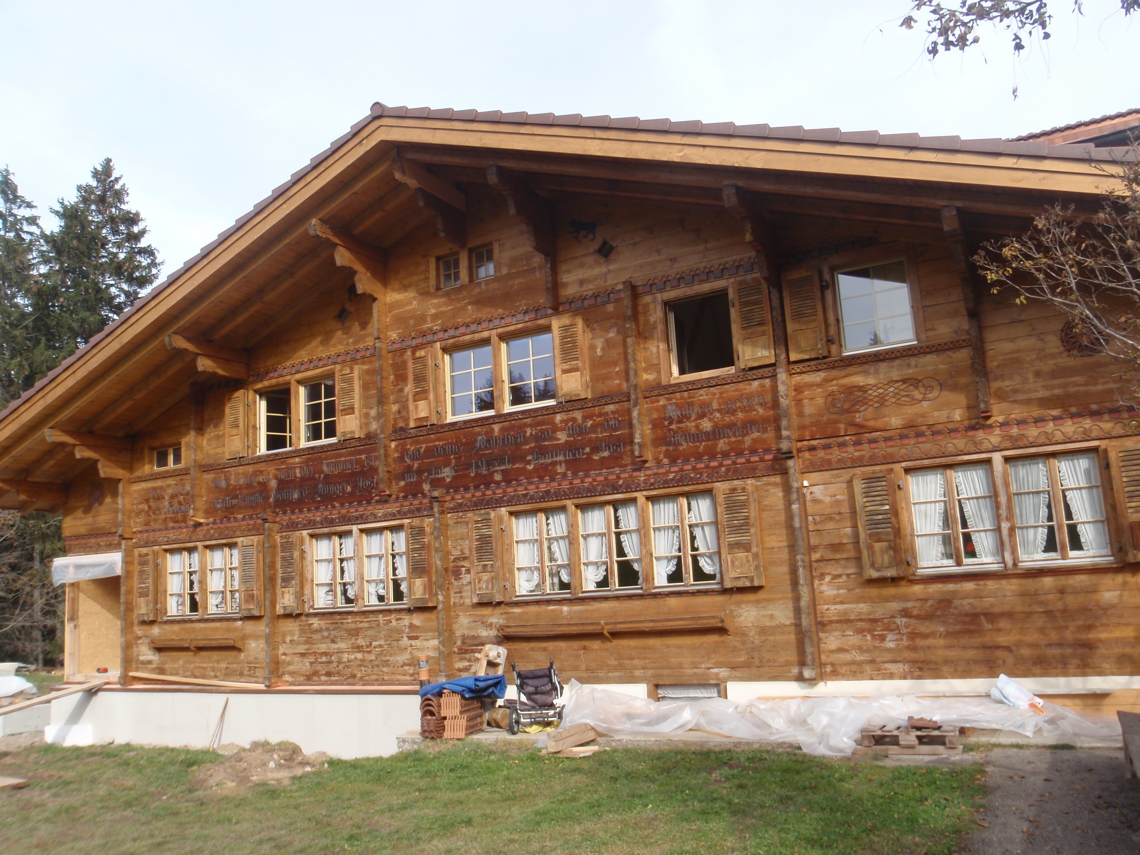
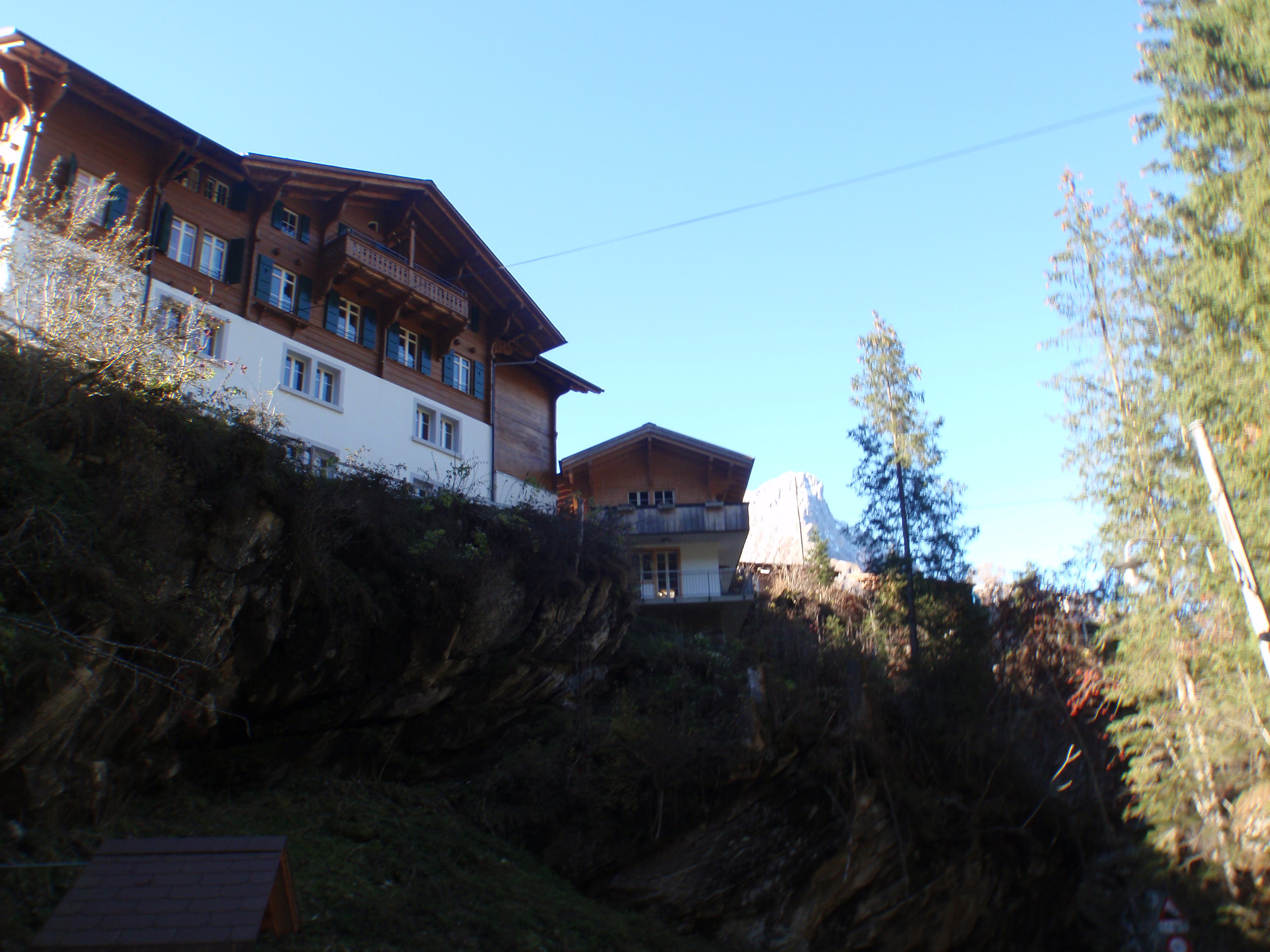
Chalet
VIA007
Location: 46.492162, 7.576867
Dennis Lewon
VIA008
Location: 46.488864, 7.58121
VIA009
Location: 46.486573, 7.585143
VIA010
Location: 46.486127, 7.588275
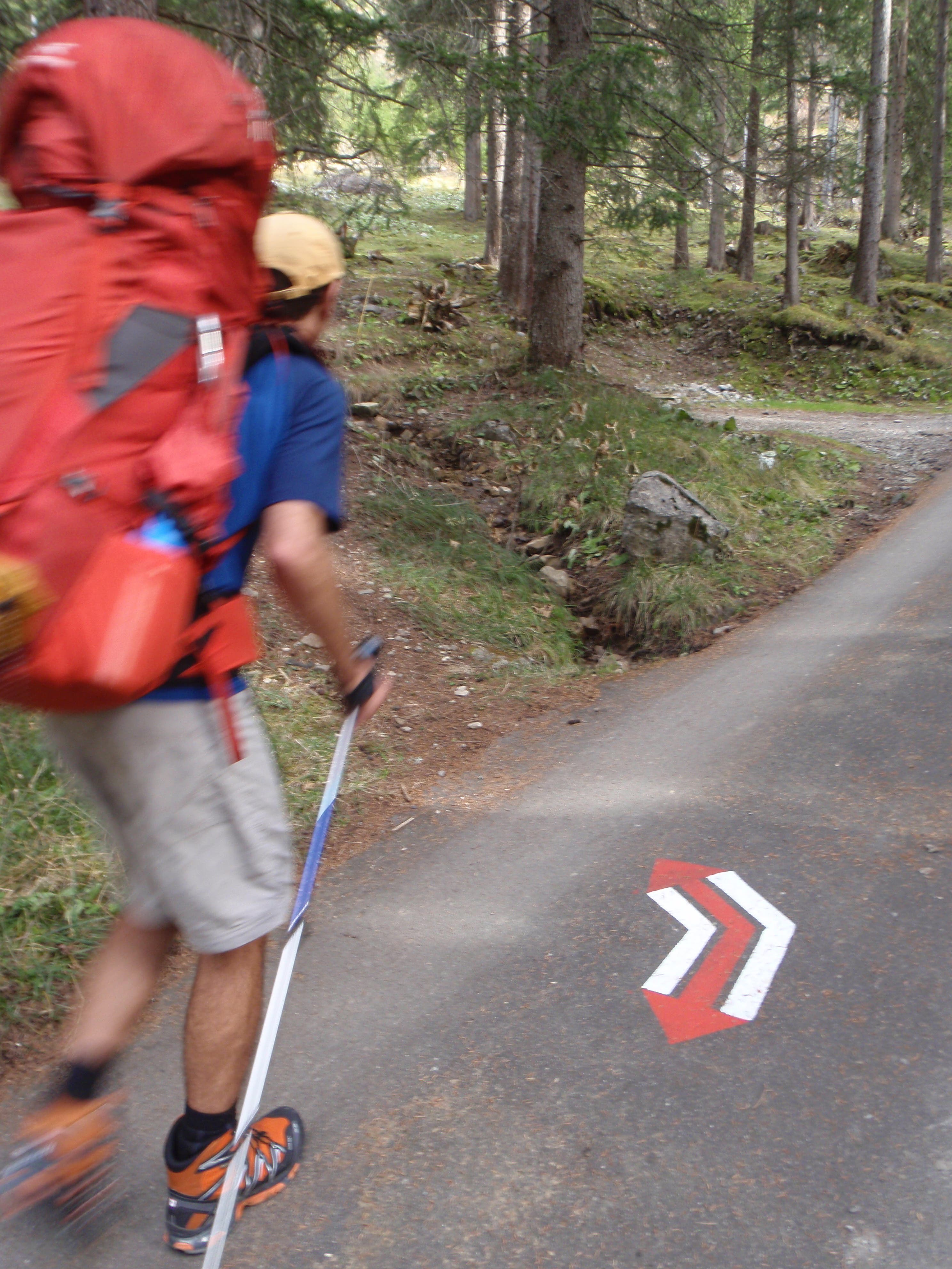
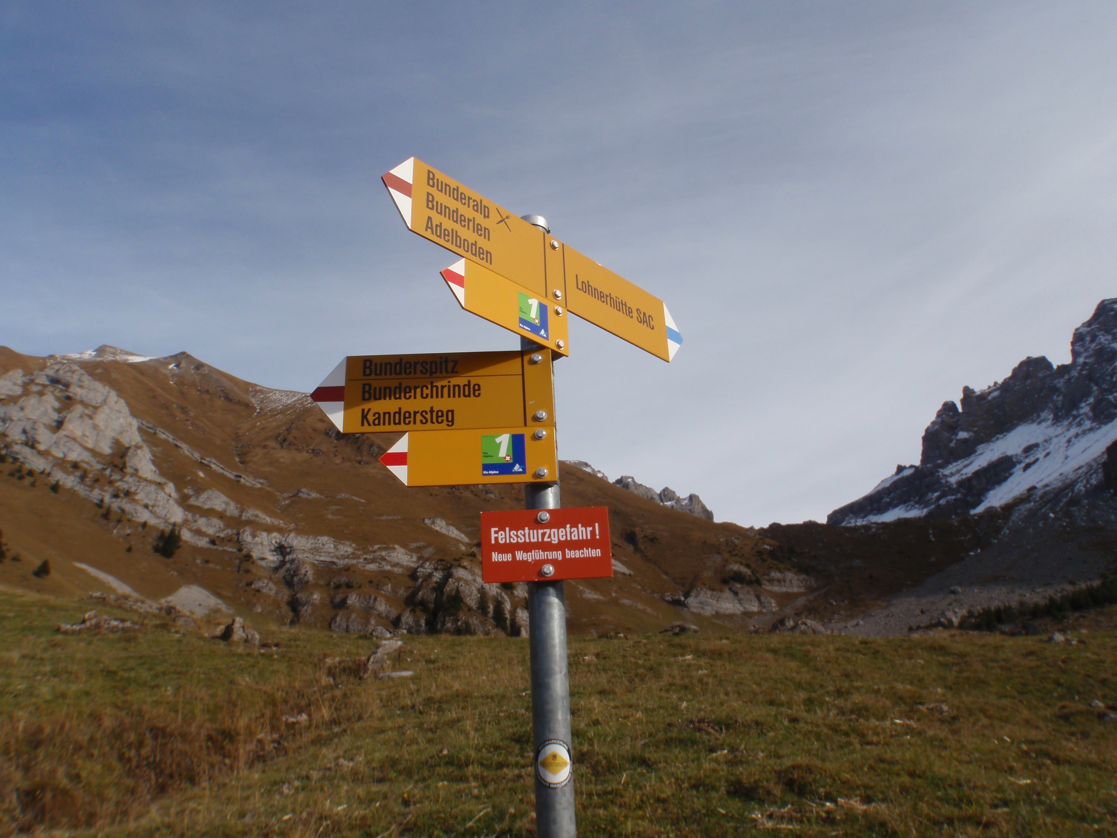
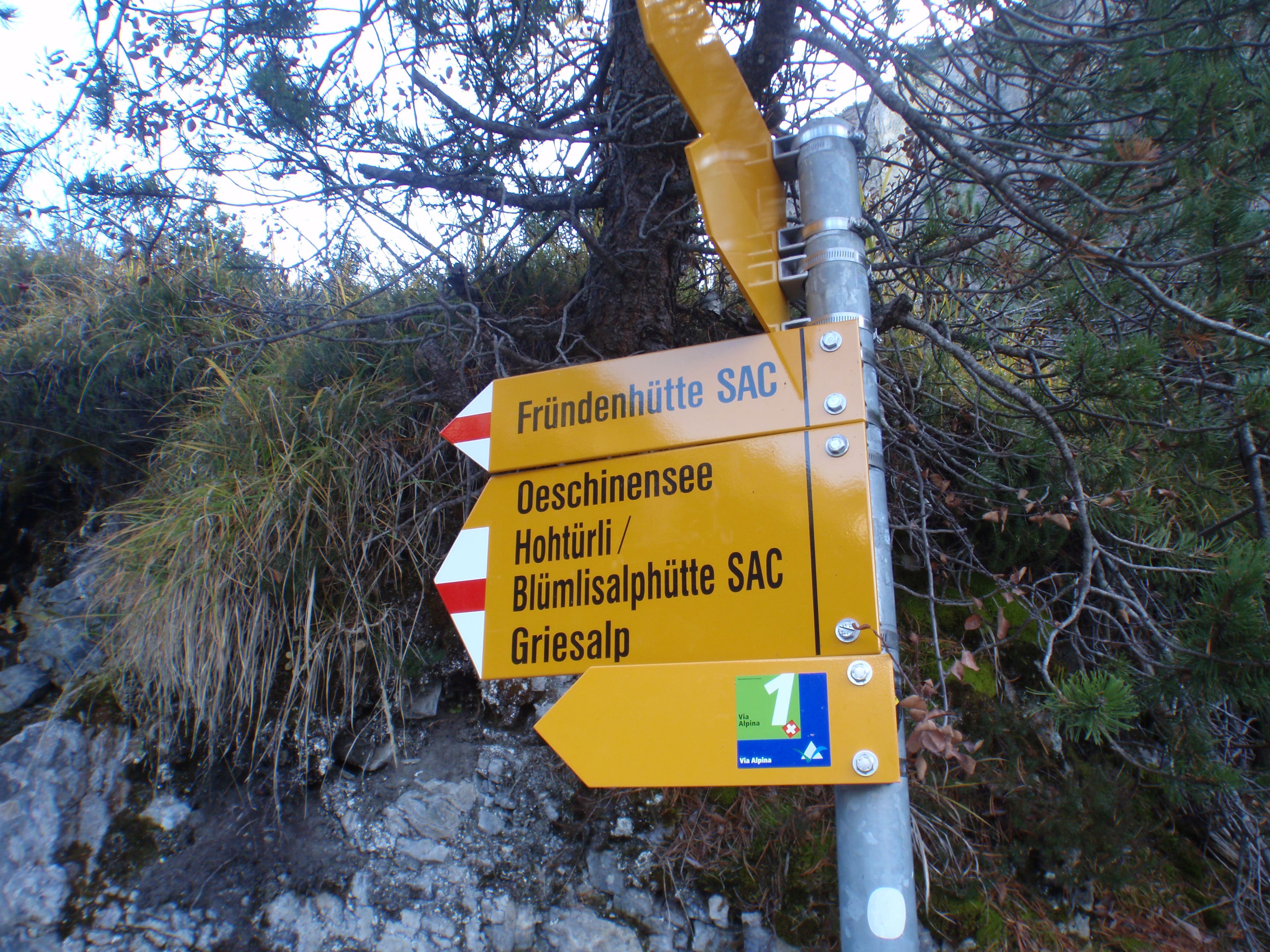
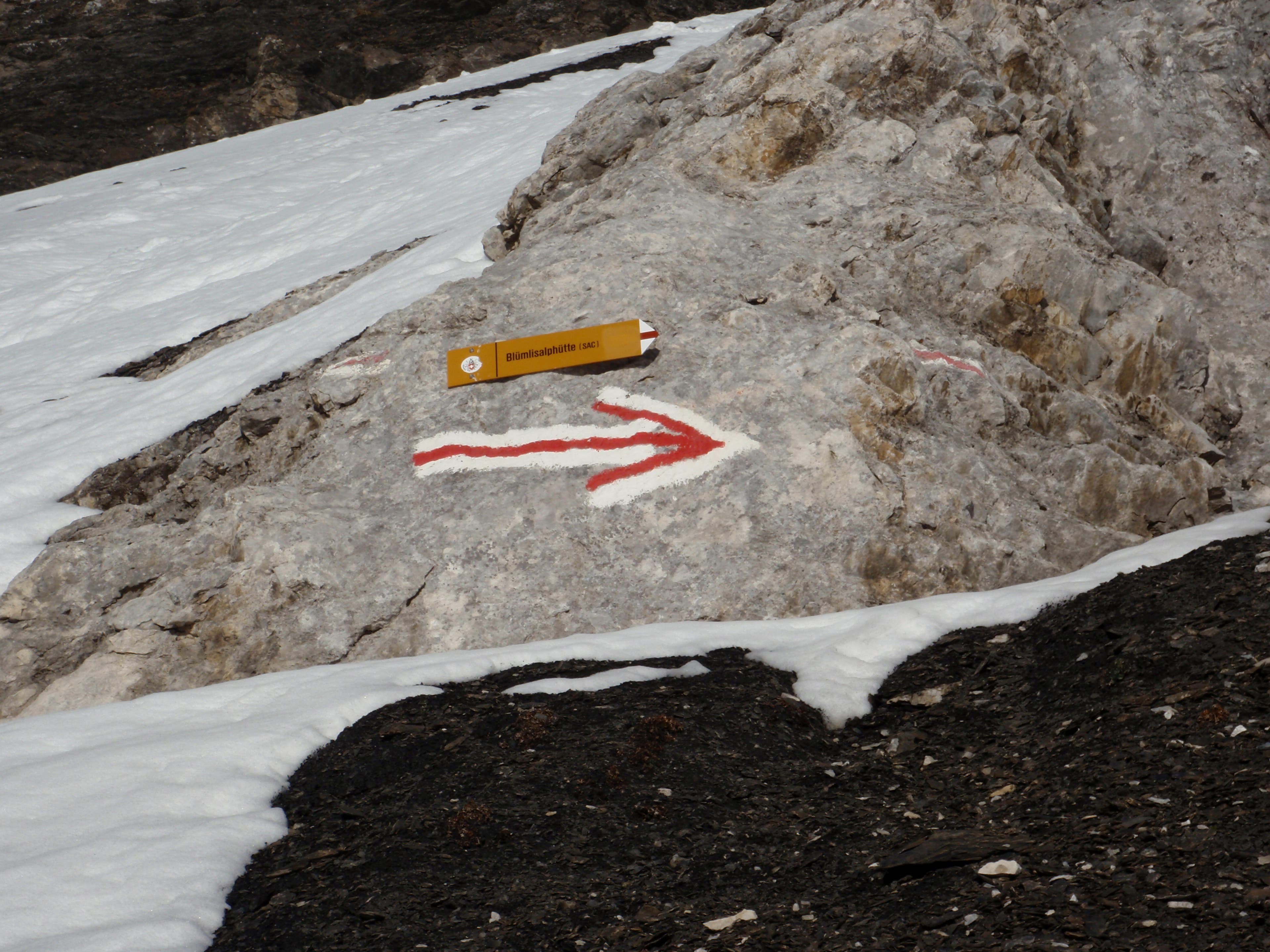
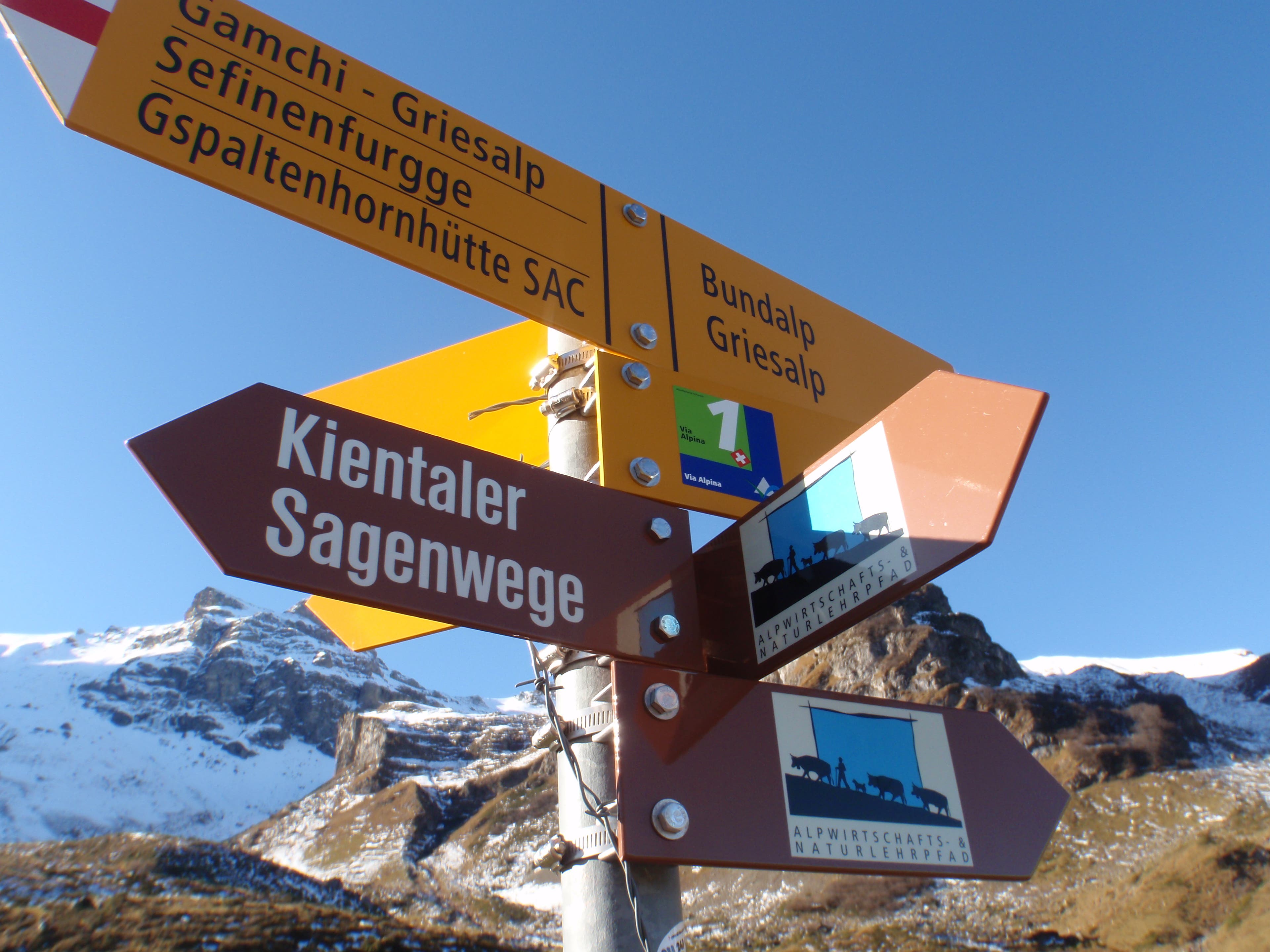
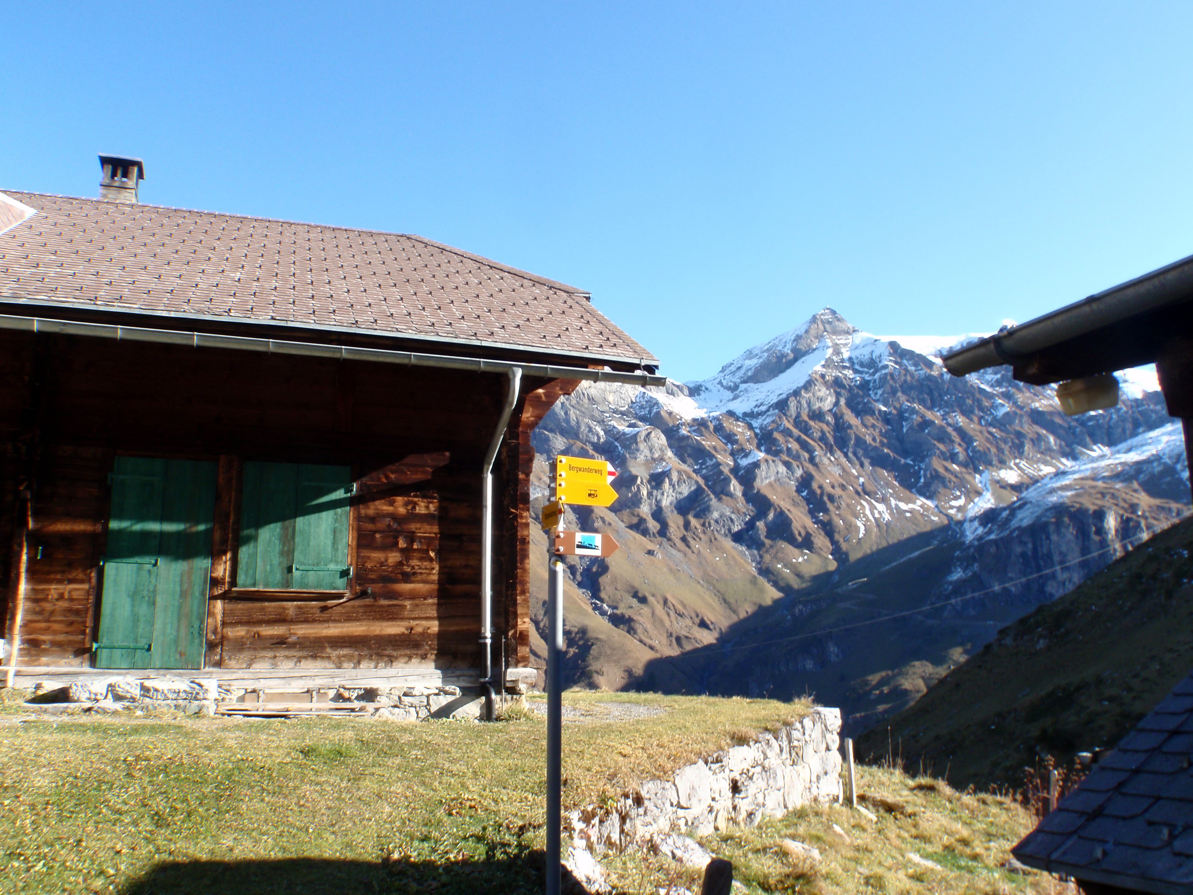
The Via Alpina is very well-signed.
VIA011
Location: 46.486268, 7.590646
VIA012
Location: 46.488441, 7.595412
Dennis Lewon prepares to hang a left to climb through the woods.
VIA013
Location: 46.488546, 7.597714
VIA014
Location: 46.489053, 7.601767
VIA015
Location: 46.489126, 7.601761
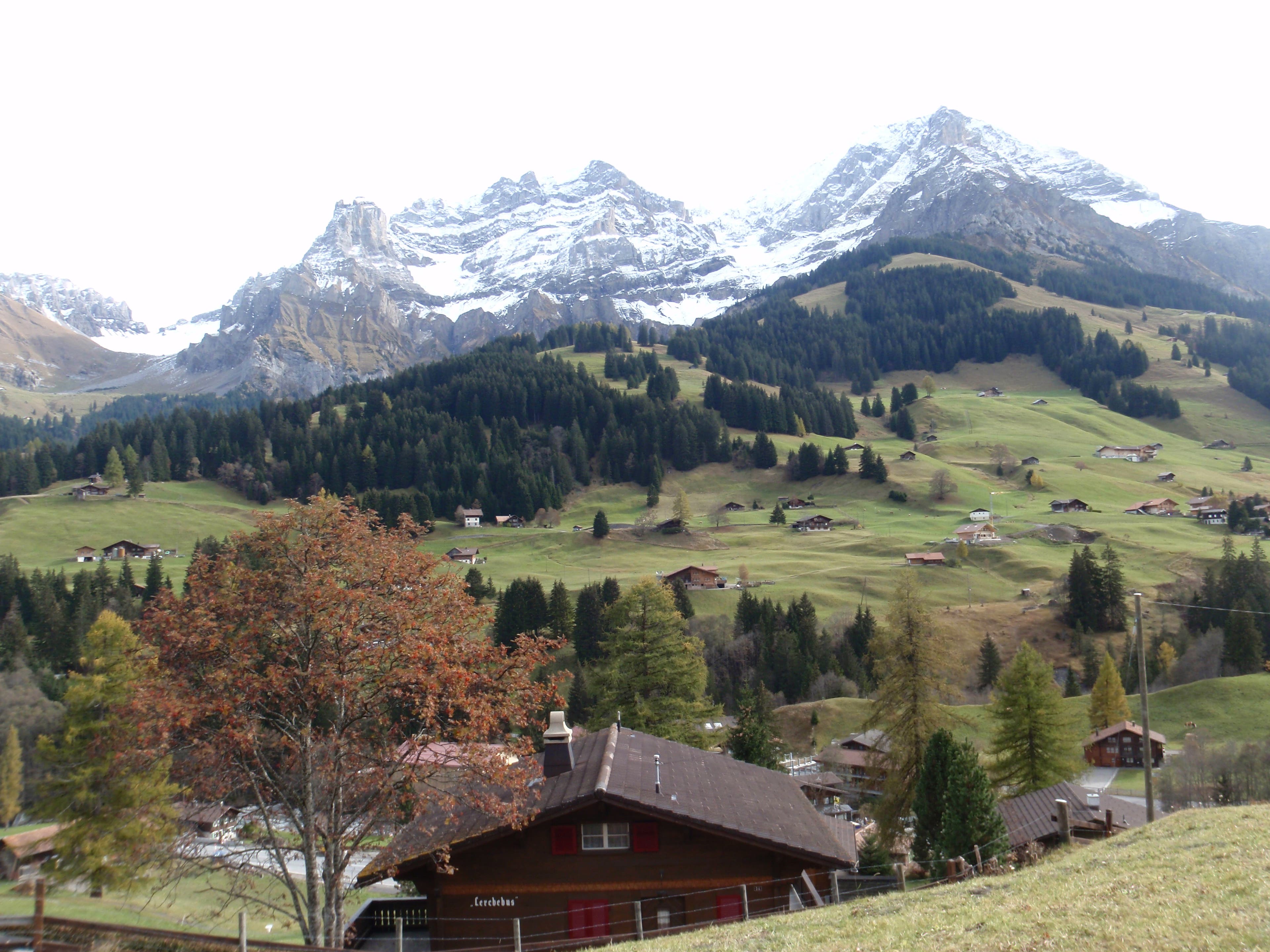
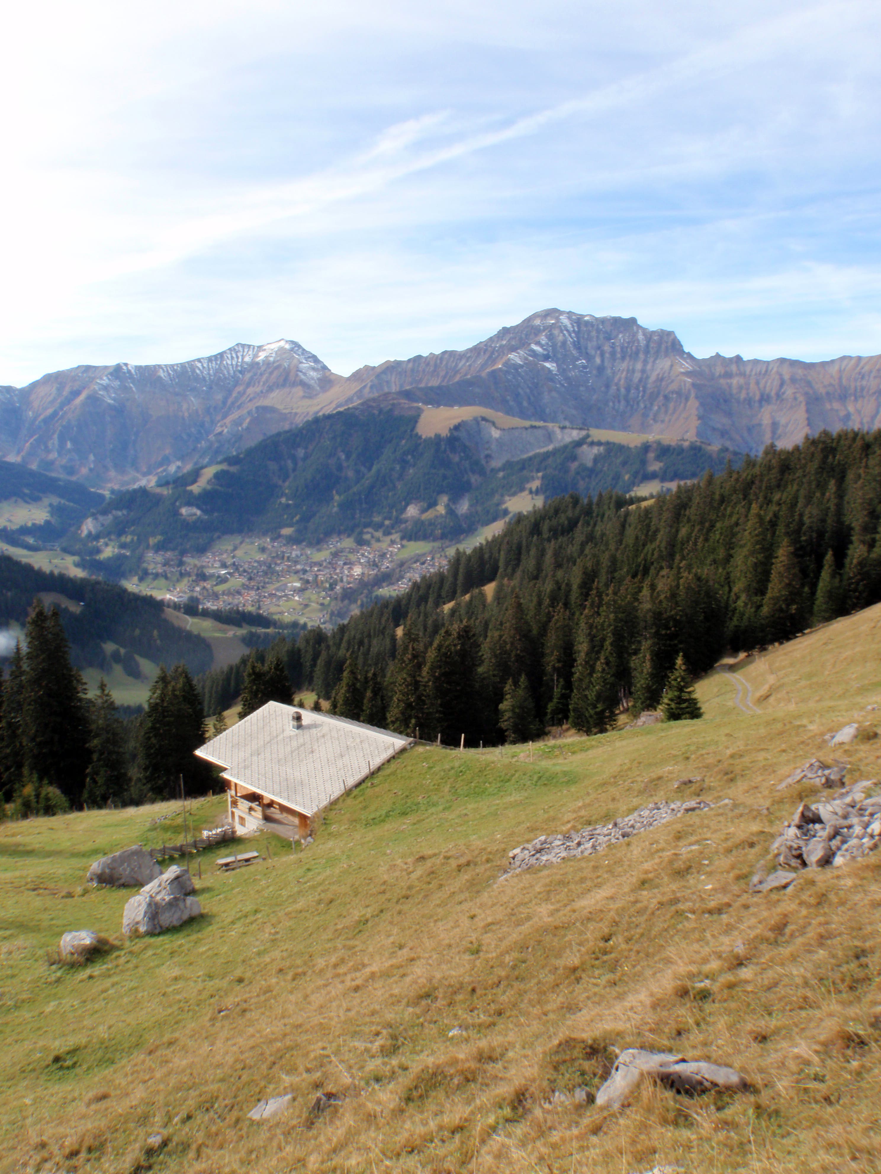
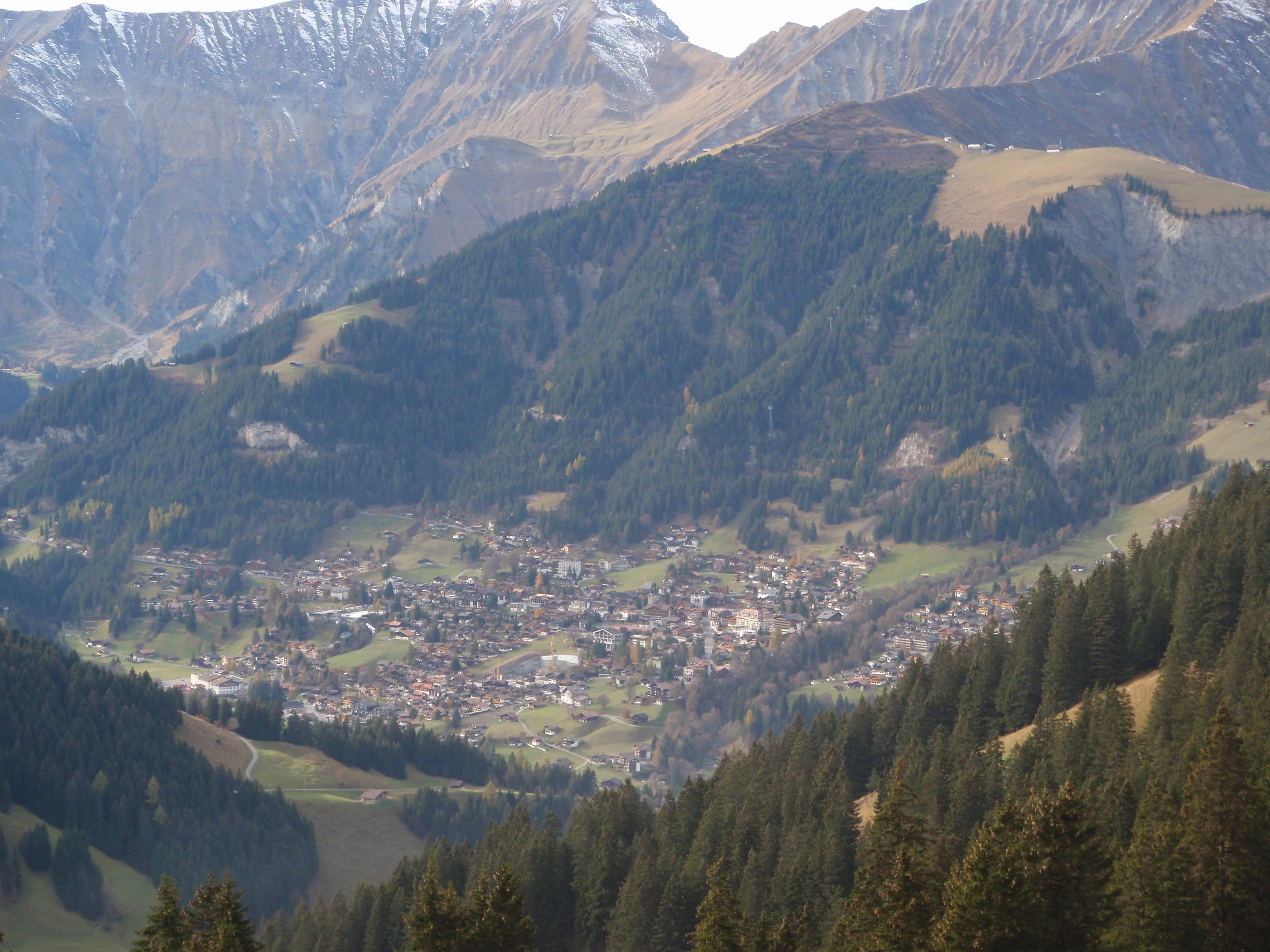
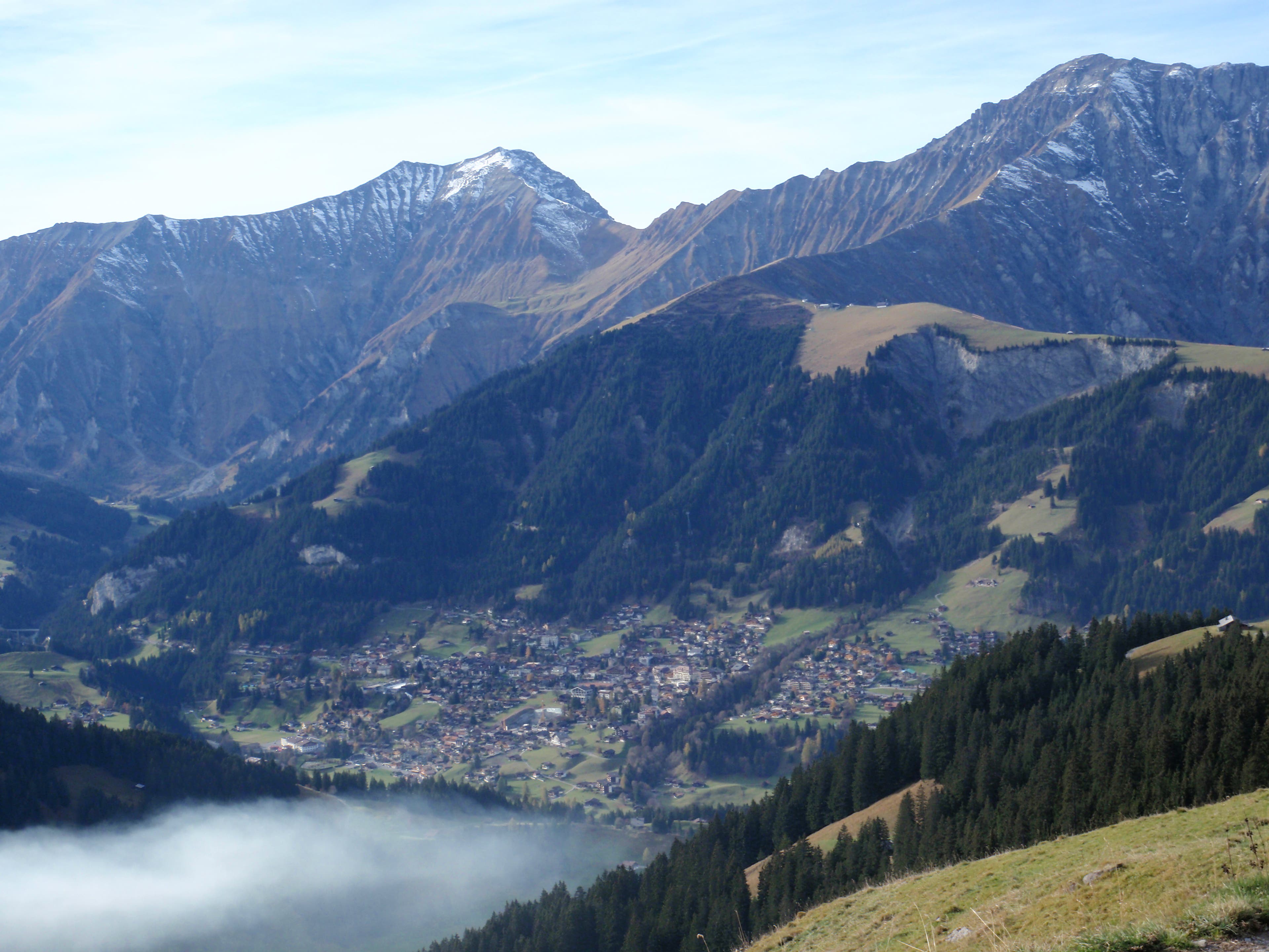
Looking back on Adelboden.
VIA016
Location: 46.490083, 7.60167
VIA017
Location: 46.488086, 7.604526
VIA018
Location: 46.488239, 7.604579
Adelboden
VIA019
Location: 46.485134, 7.614411
VIA020
Location: 46.485115, 7.614529
VIA021
Location: 46.484982, 7.616615
VIA022
Location: 46.484984, 7.616677
VIA023
Location: 46.484986, 7.616755
VIA024
Location: 46.482386, 7.624595
VIA025
Location: 46.482365, 7.624616
VIA026
Location: 46.482343, 7.624632
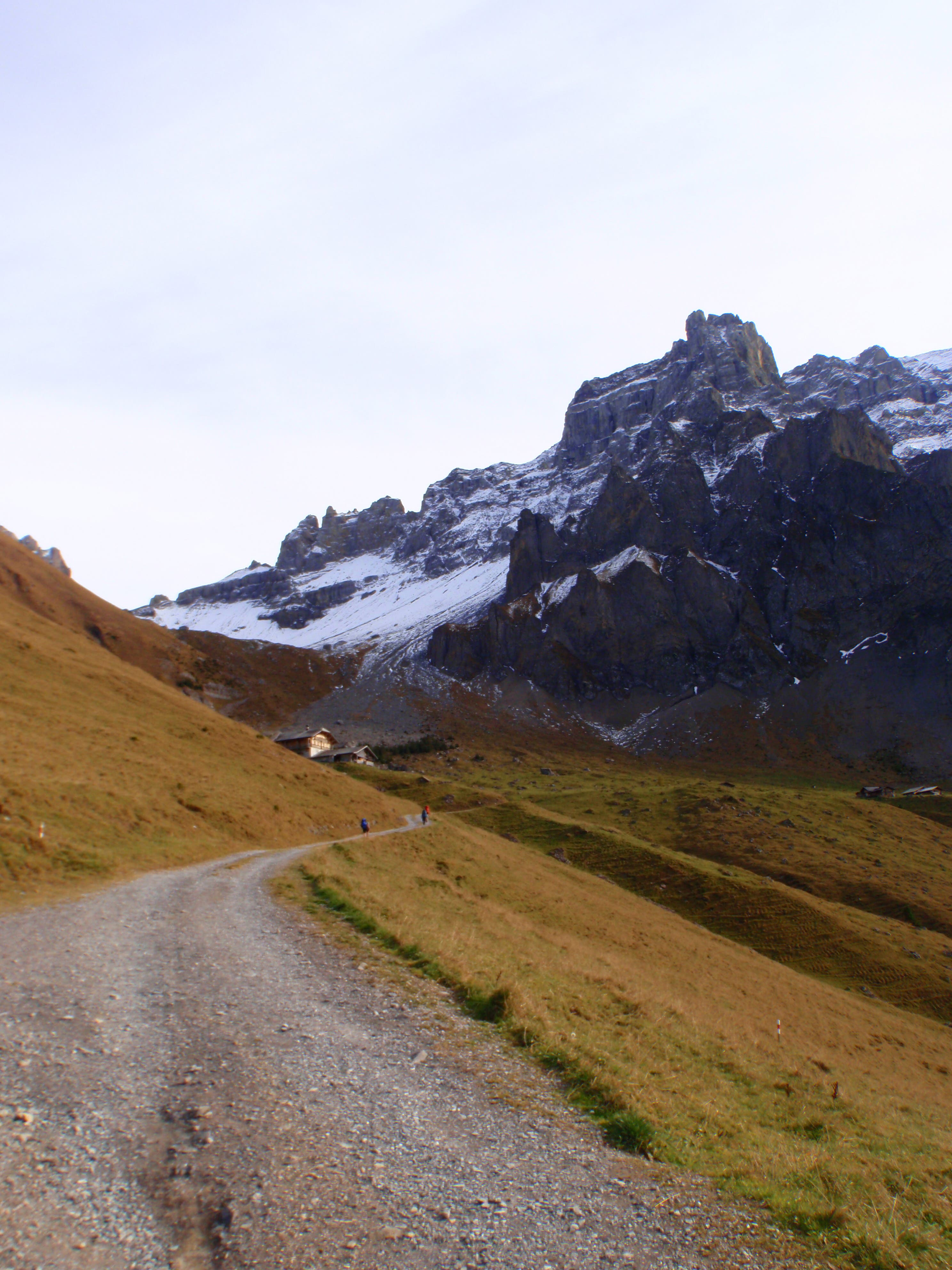
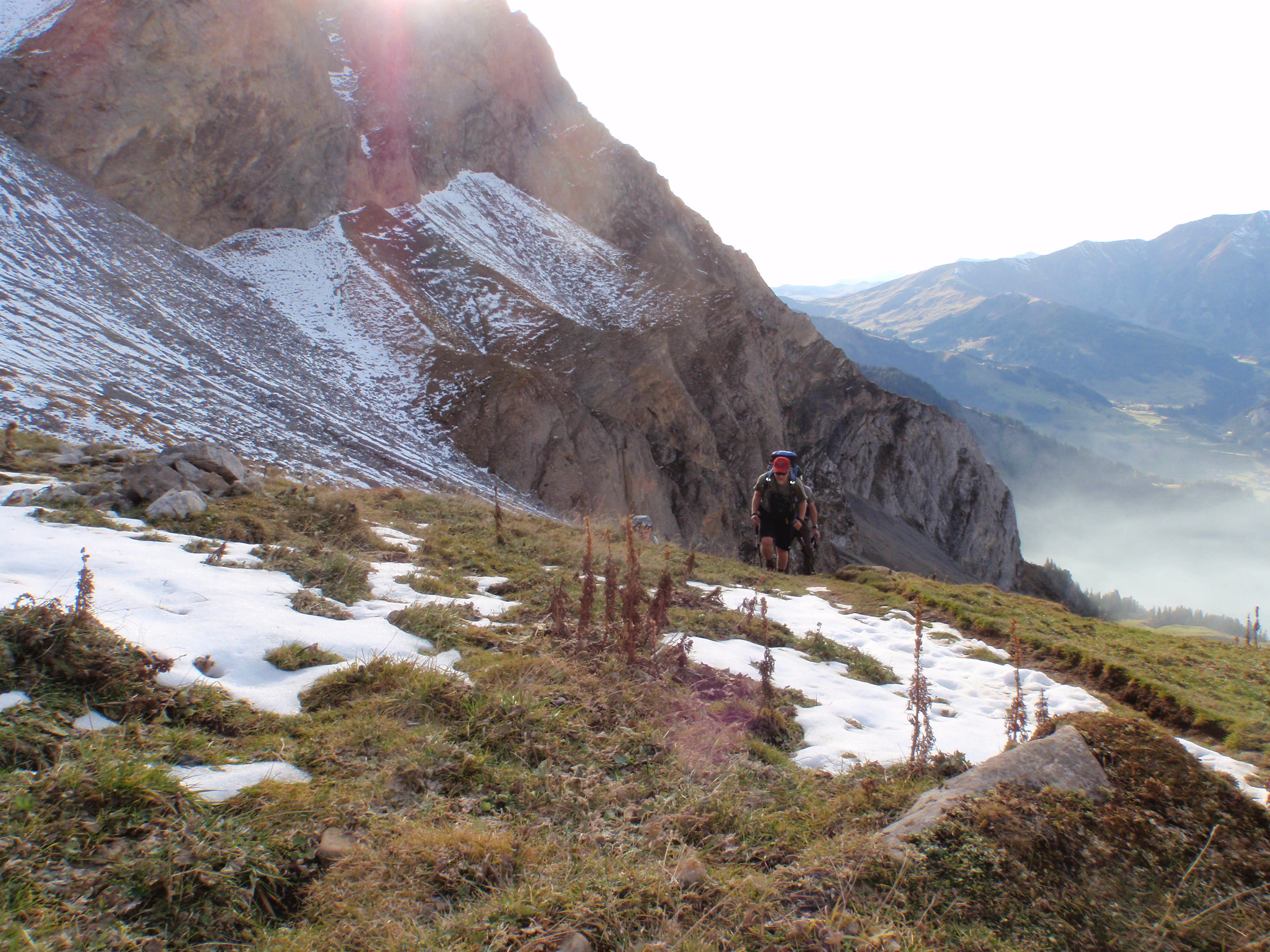
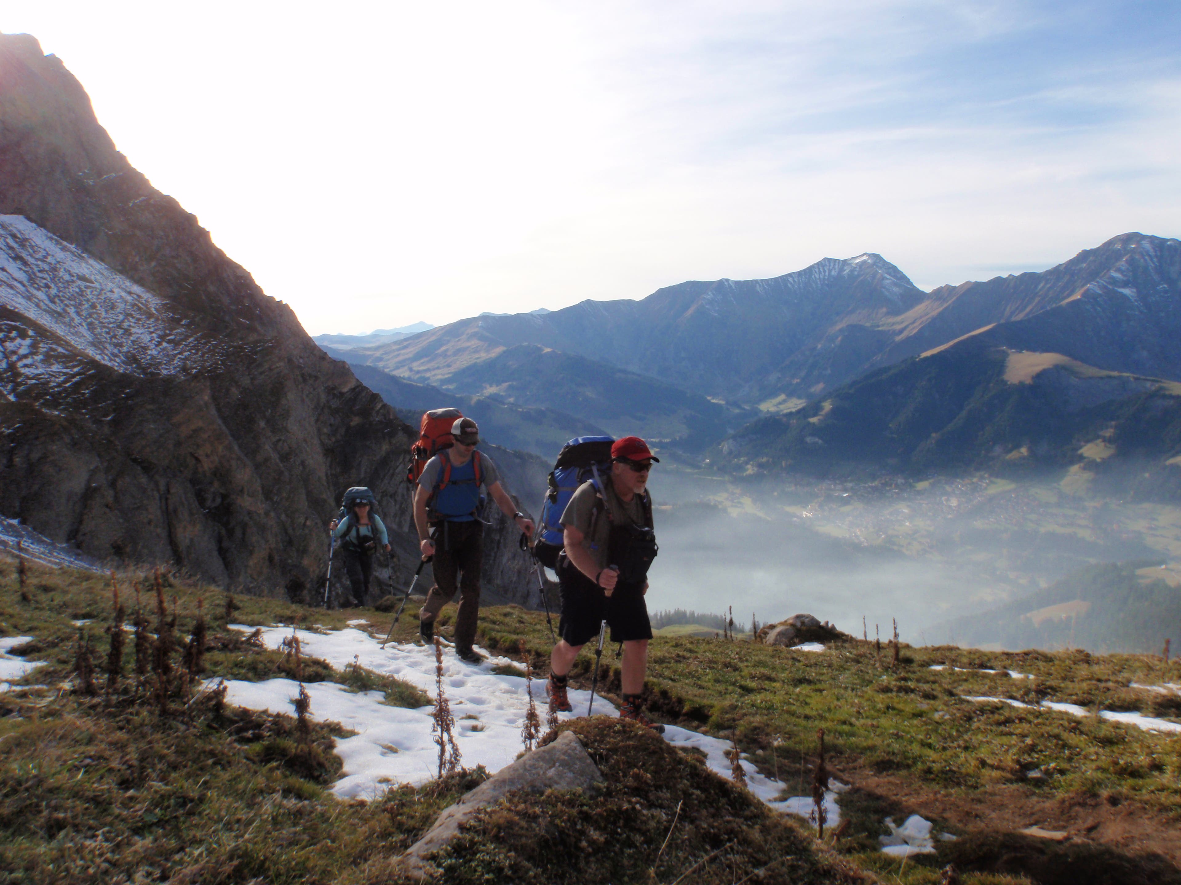
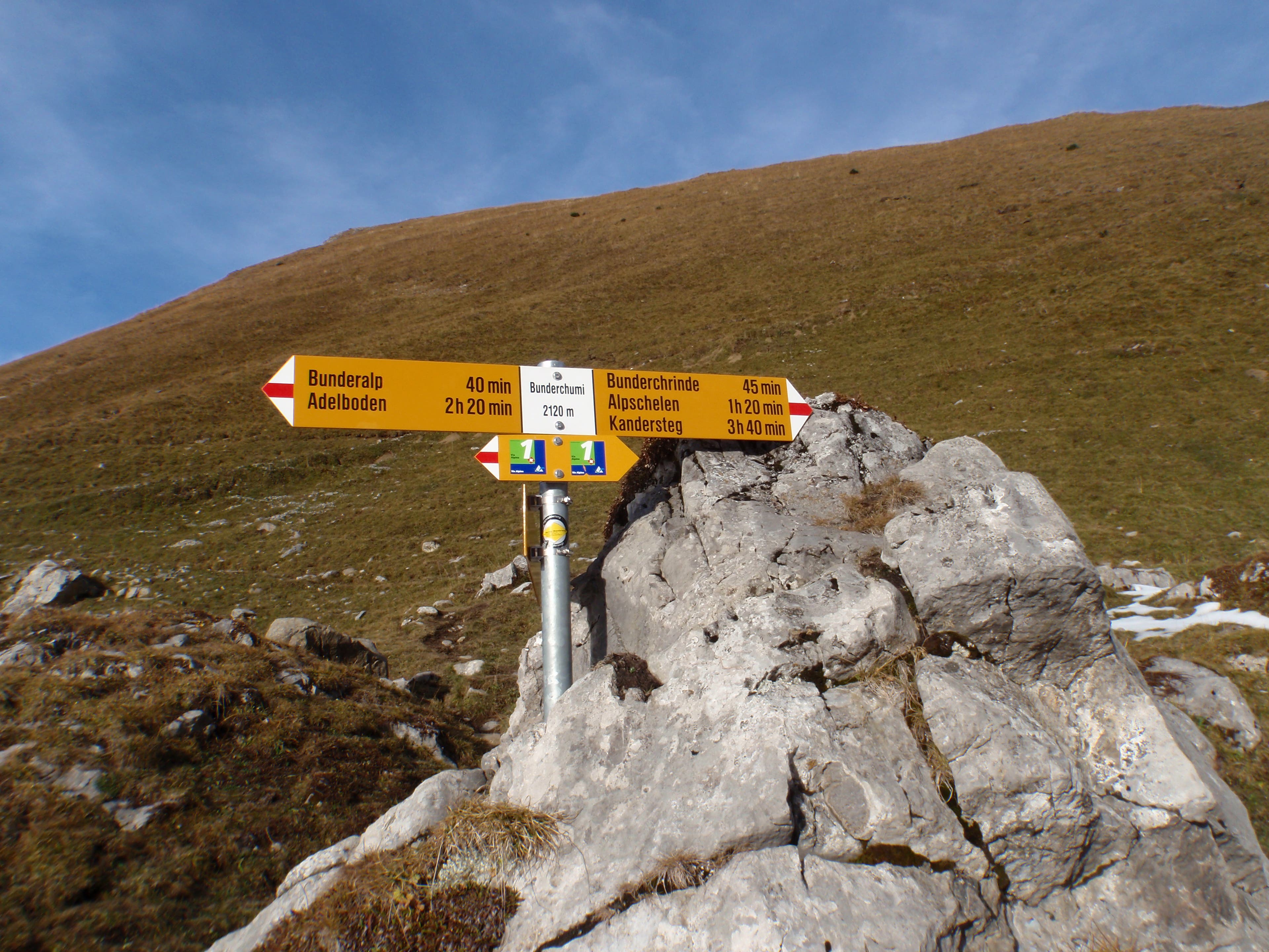
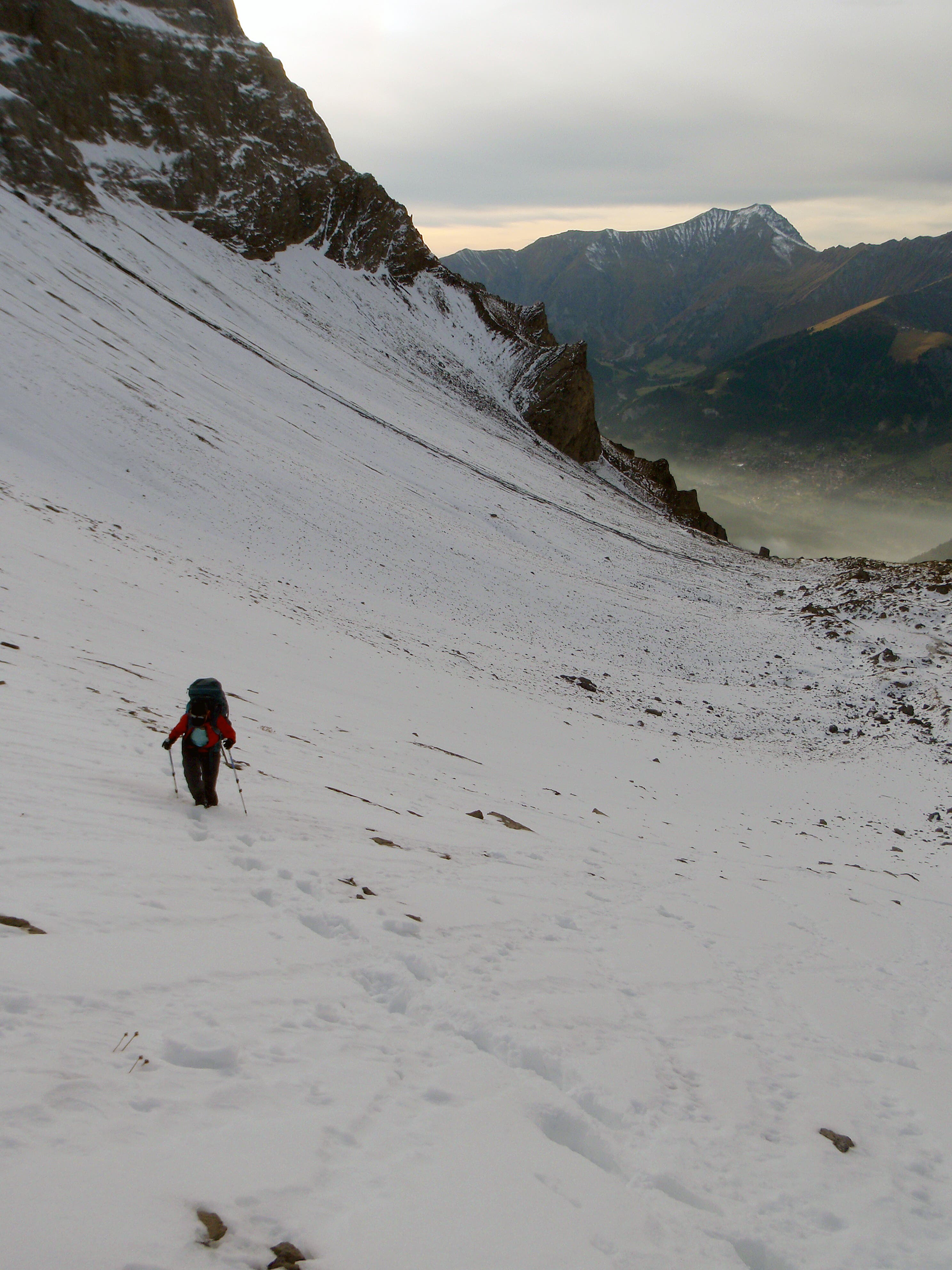
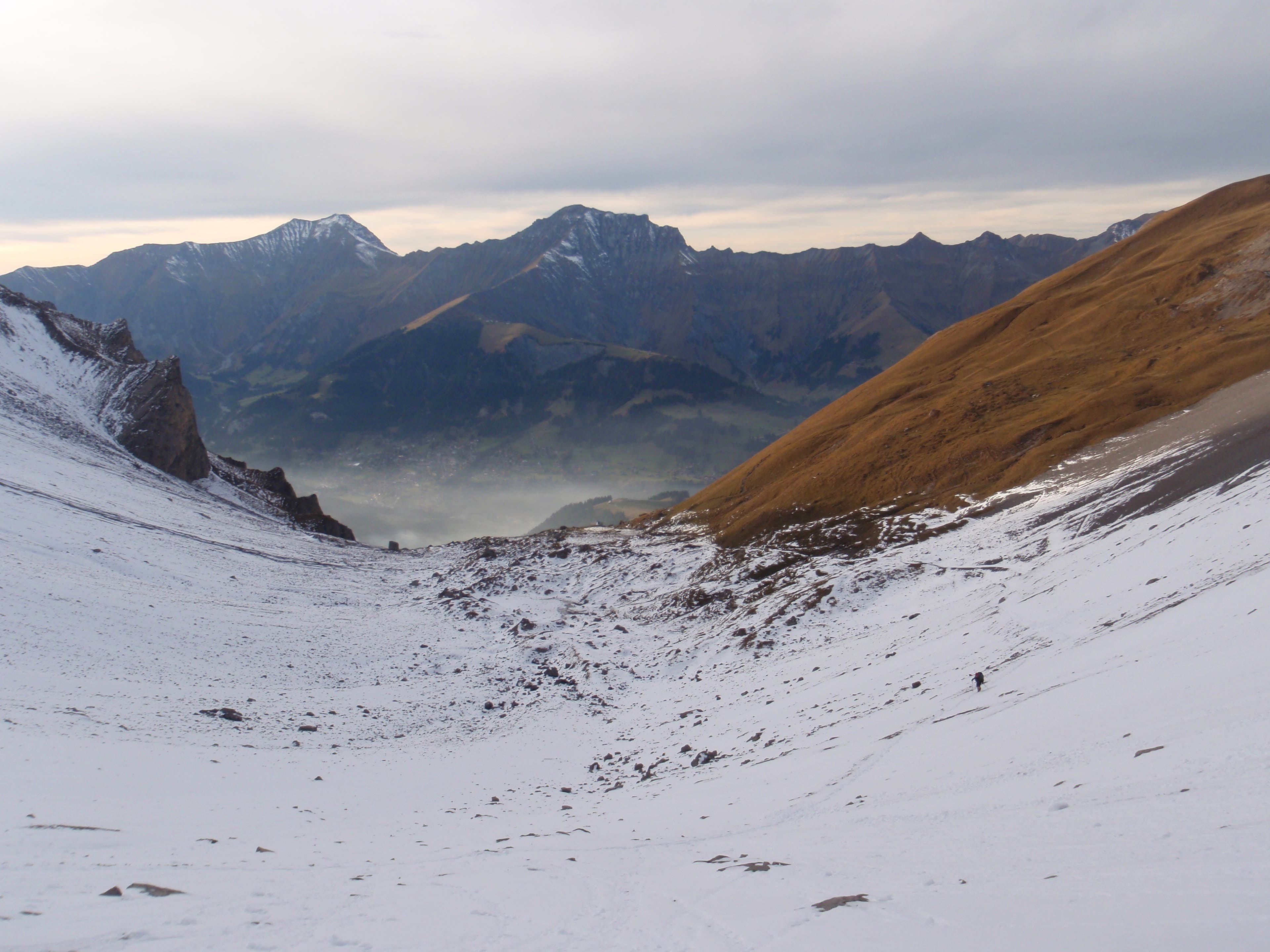
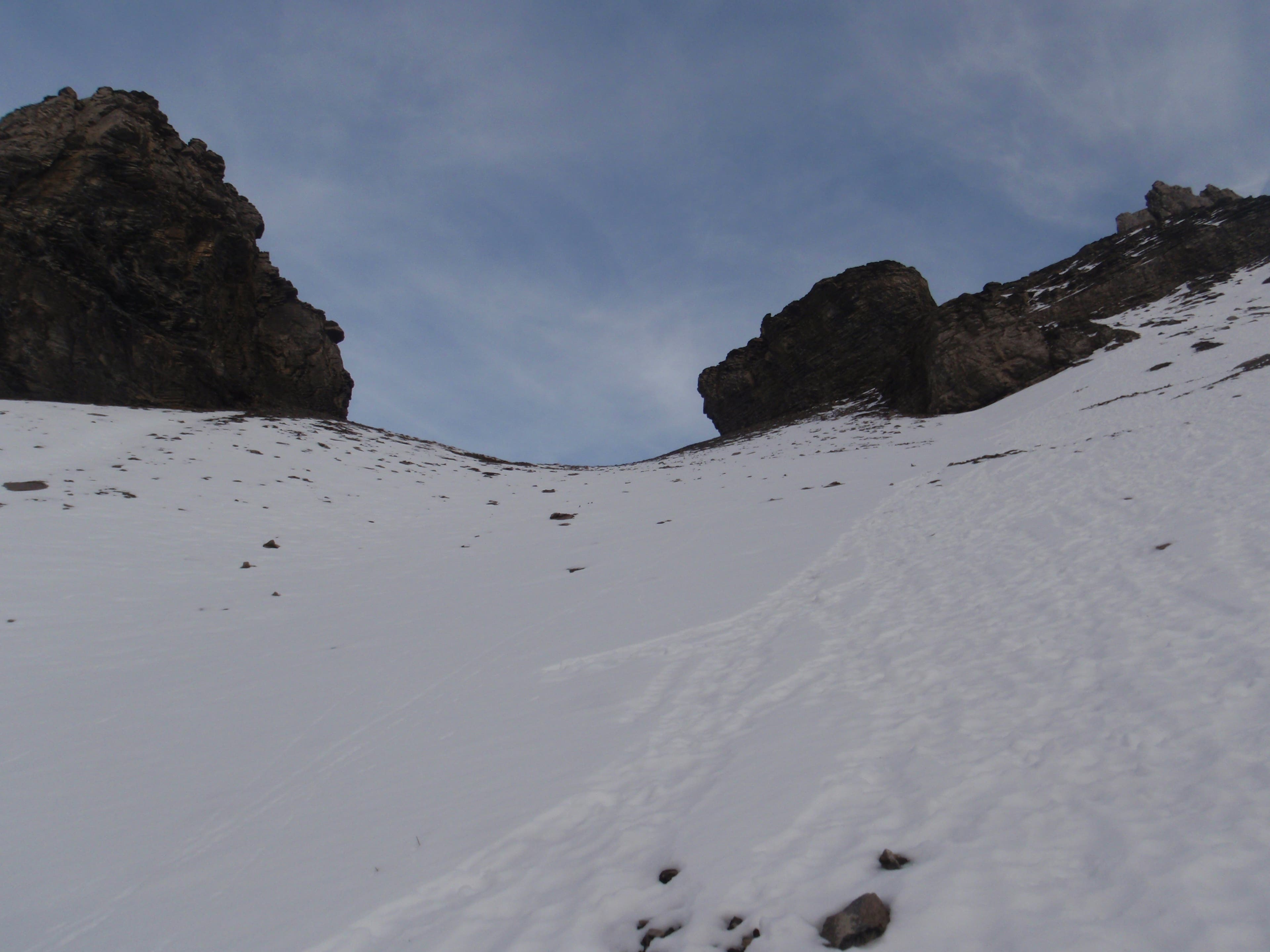
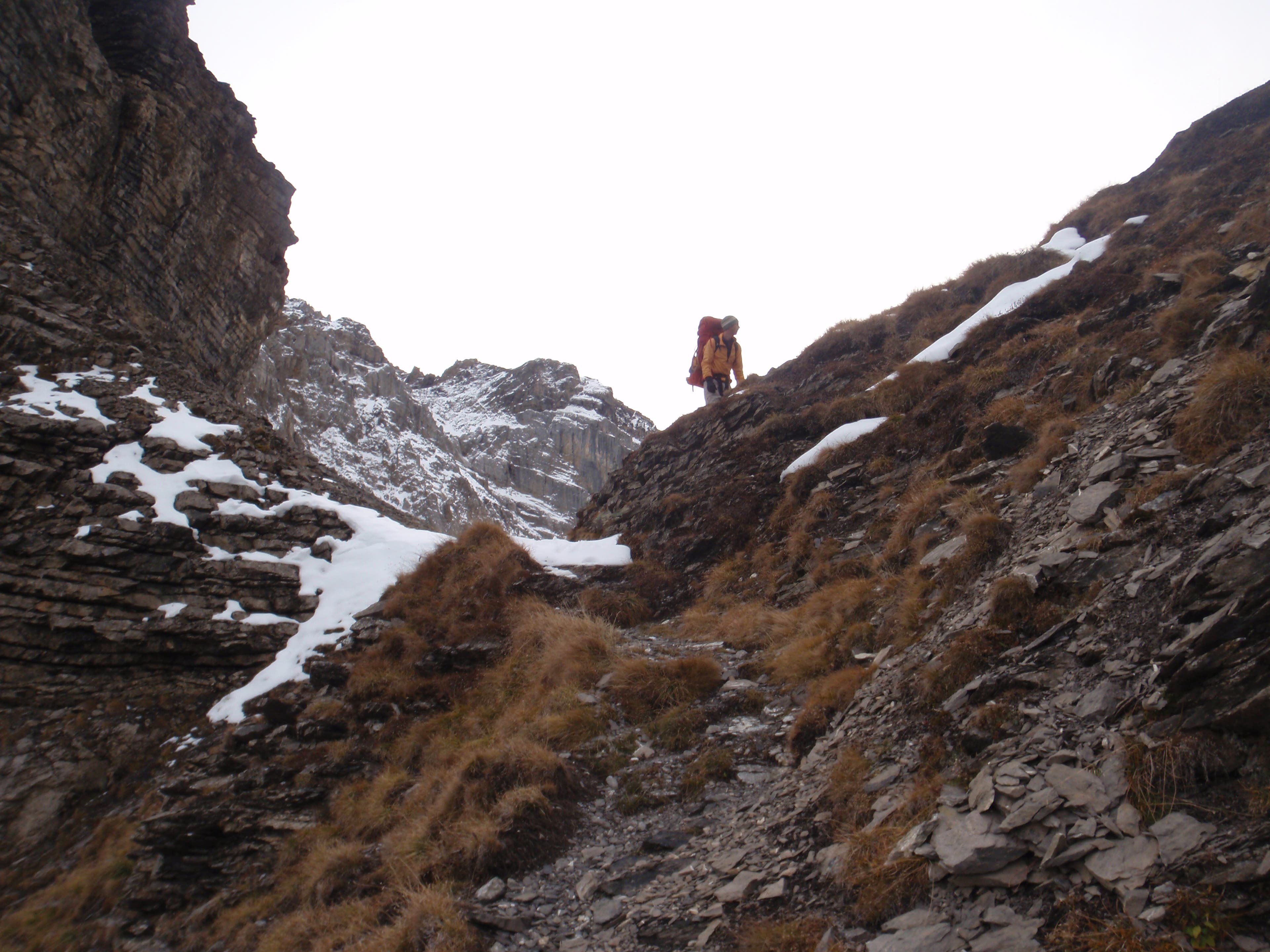
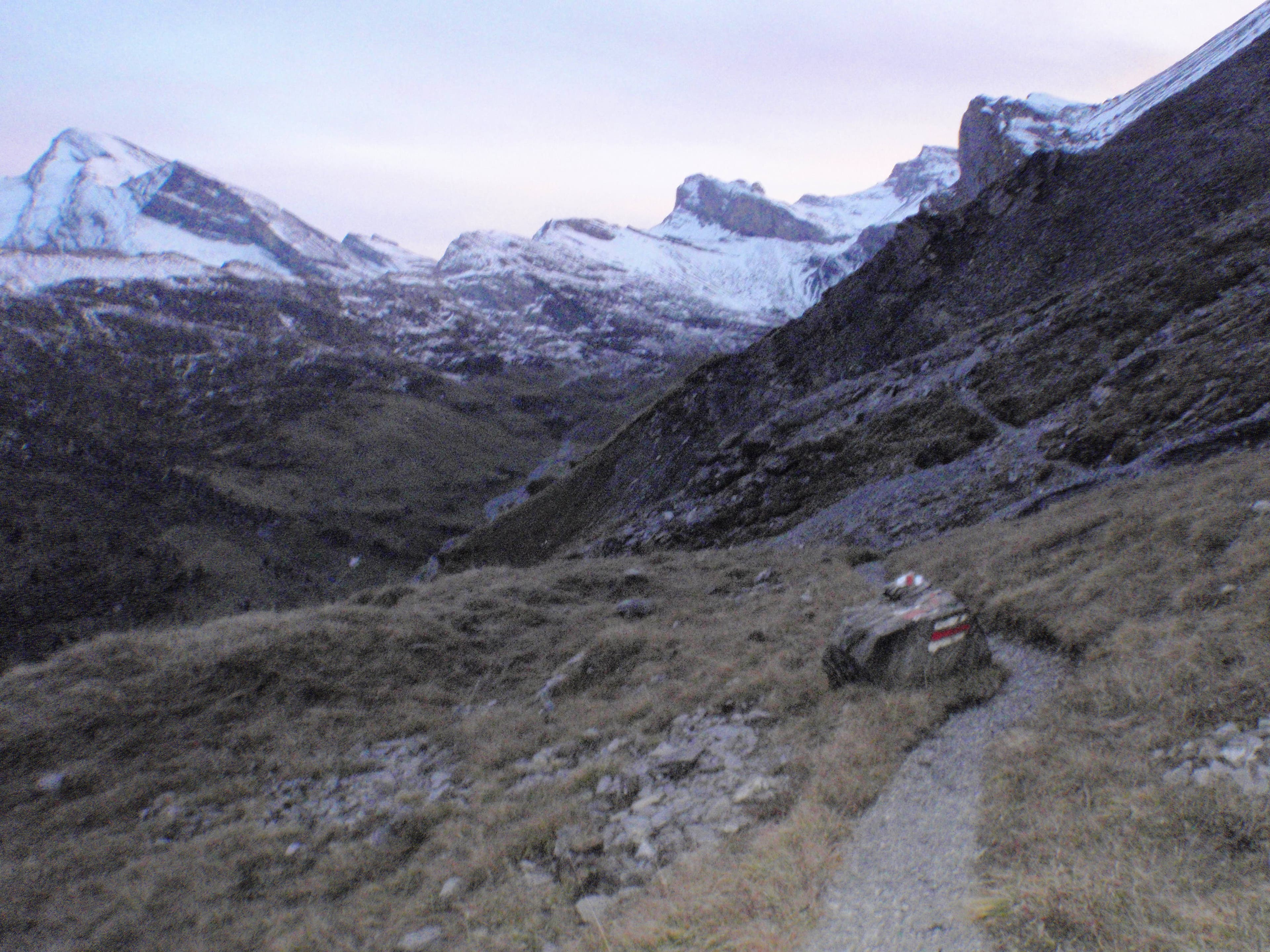
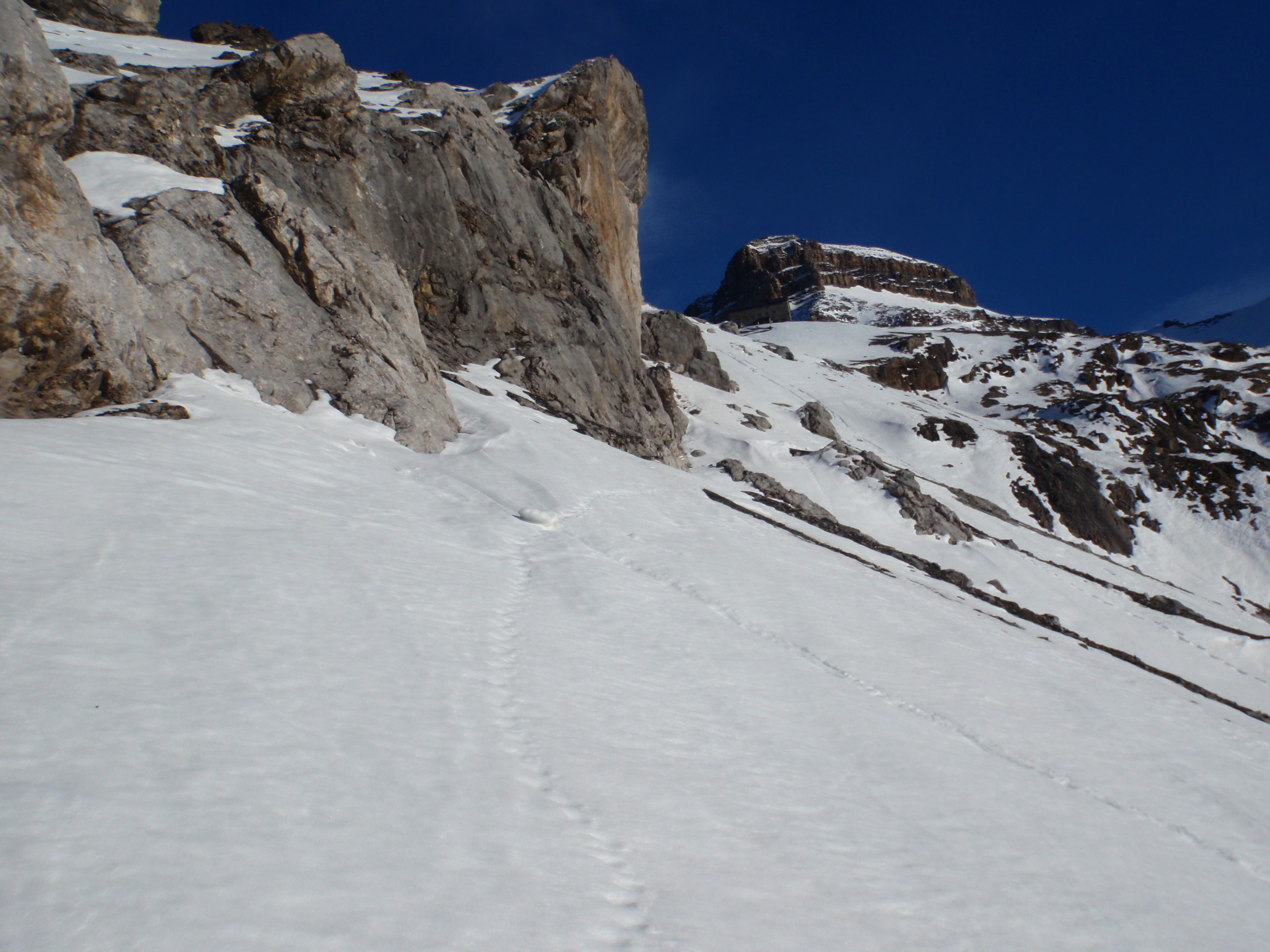
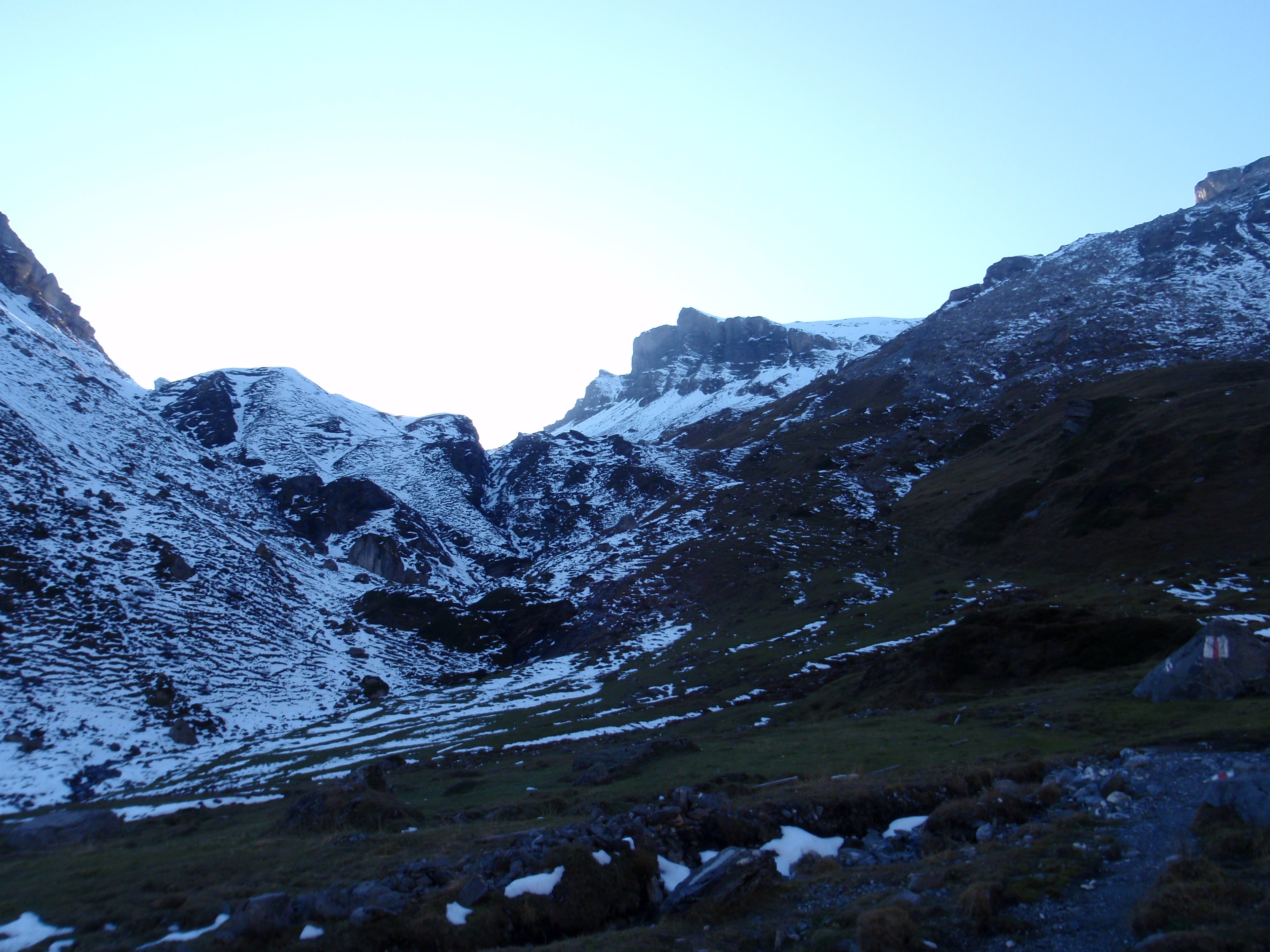
Our first look at snowy Bunderchrinde pass.
VIA027
Location: 46.48236, 7.625995
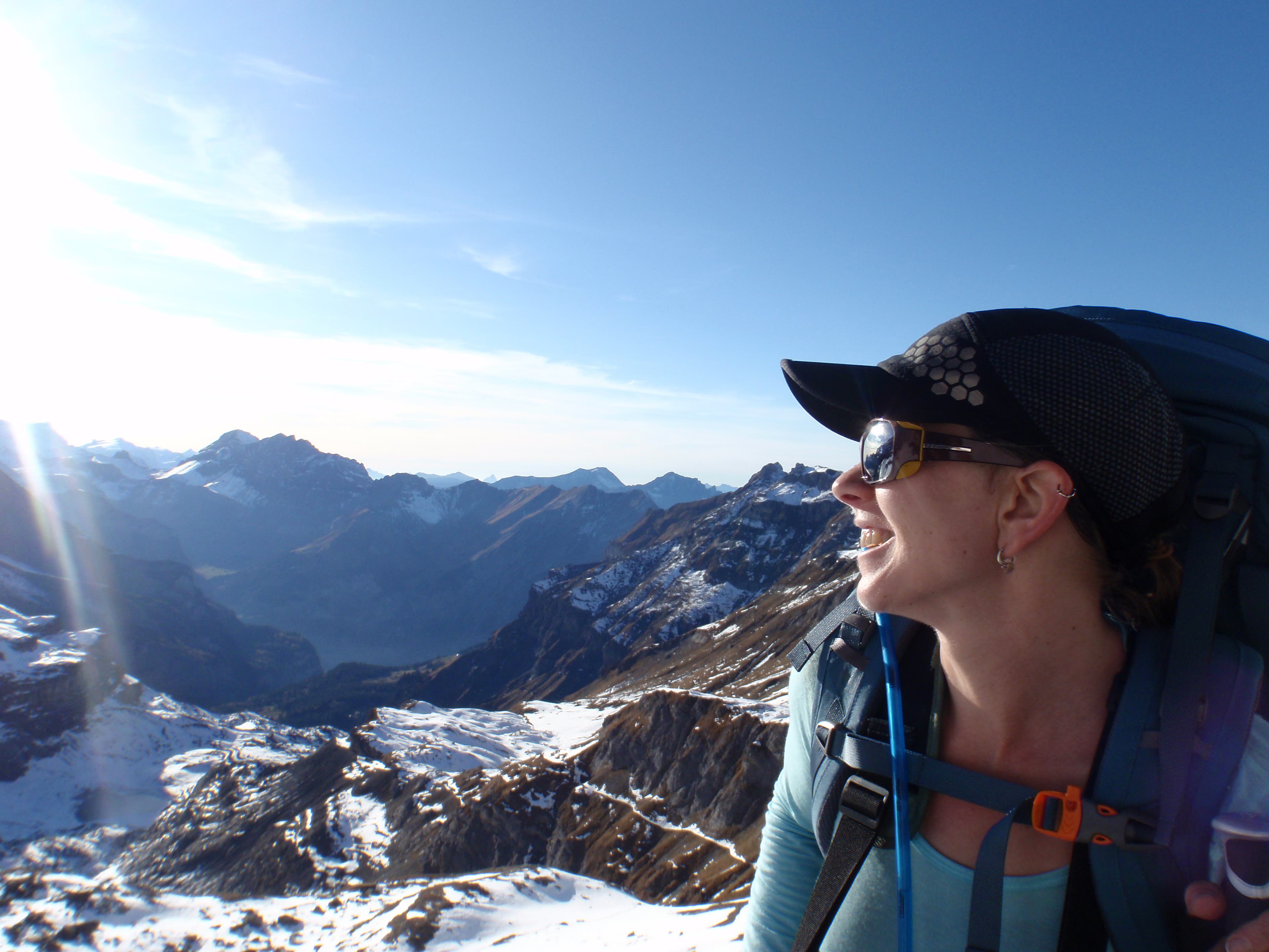
Shannon Davis layers up atop 7,825-foot Bunderchrinde.
VIA028
Location: 46.482402, 7.626049
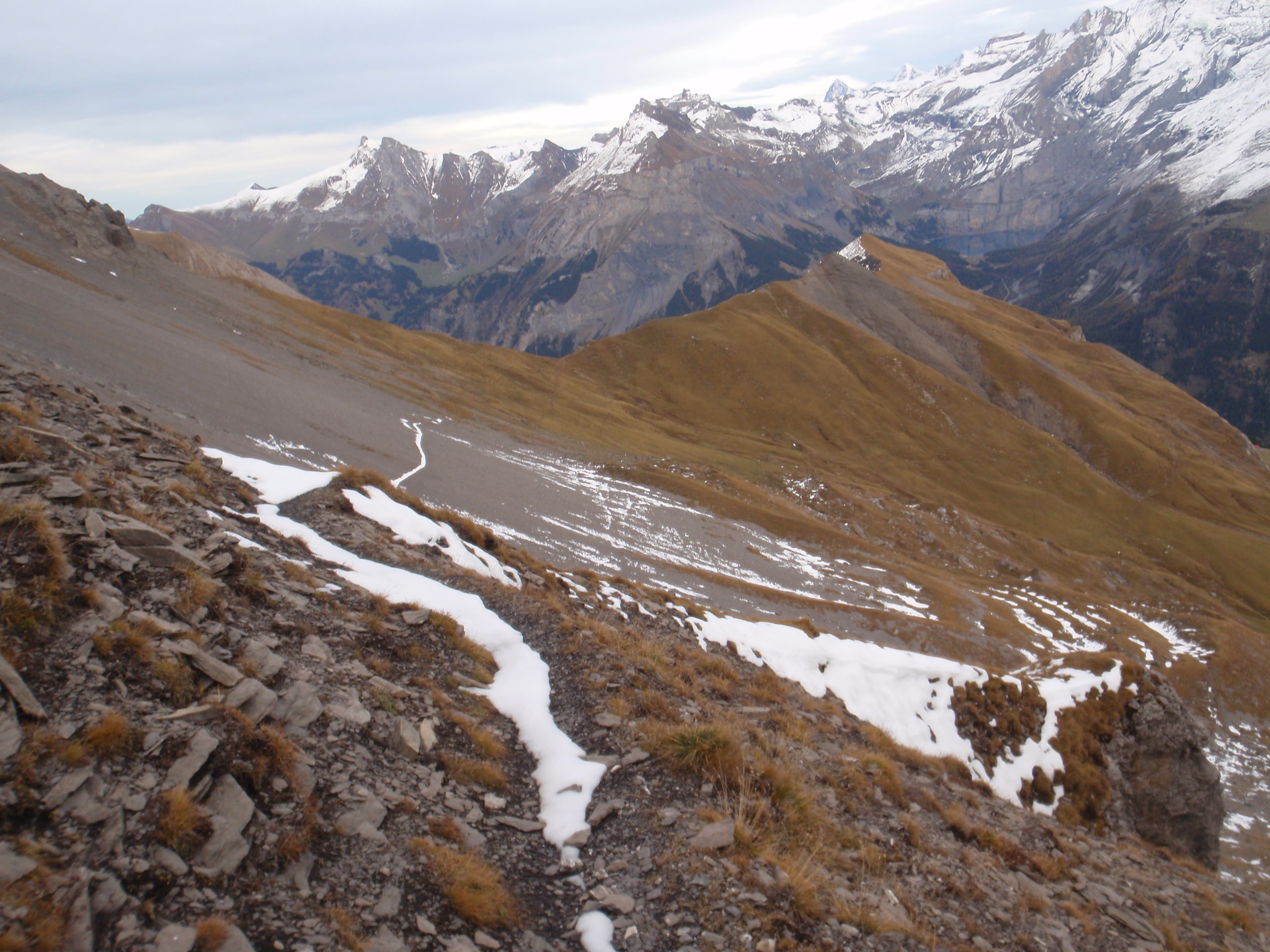
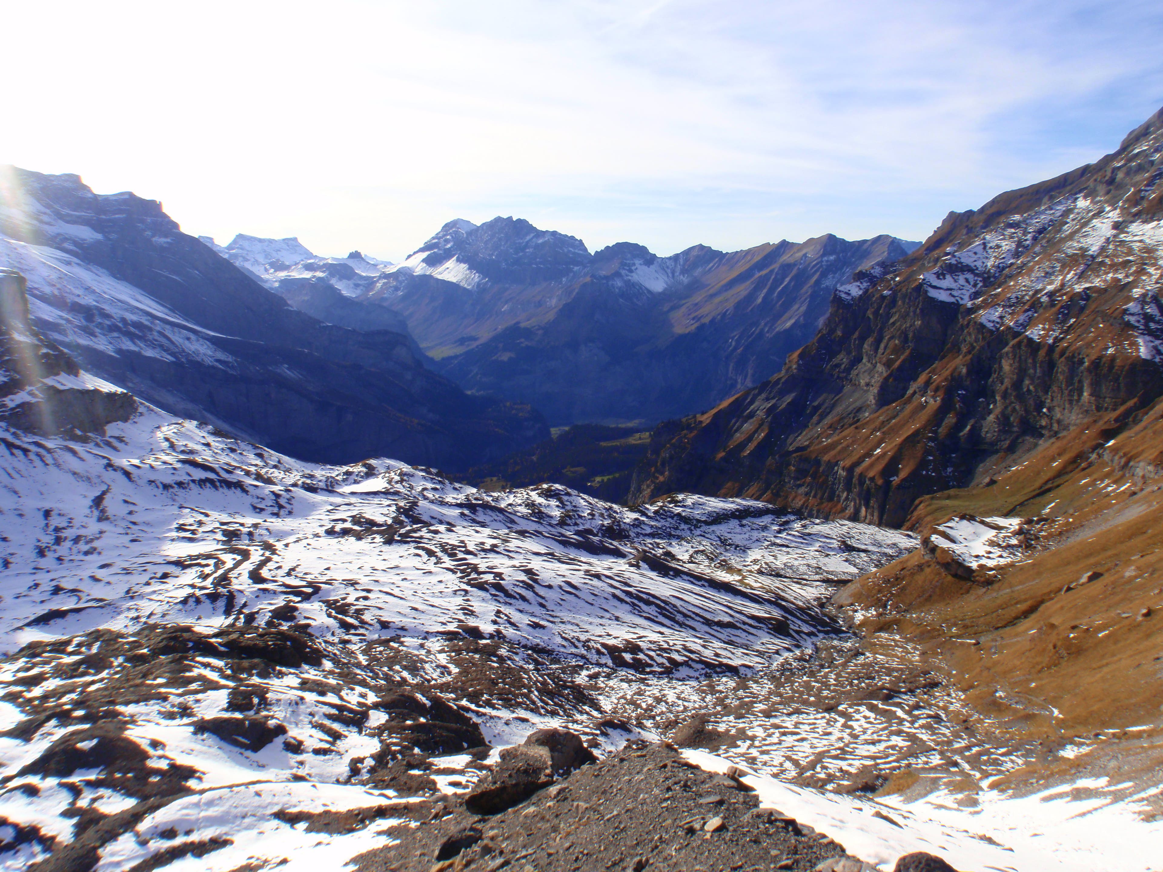
Looking east from the pass
VIA029
Location: 46.482417, 7.62607
VIA030
Location: 46.482459, 7.626124
VIA031
Location: 46.482496, 7.626172
Beginning our descent to Kandersteg
VIA032
Location: 46.48253, 7.626218
VIA033
Location: 46.482583, 7.626285
VIA034
Location: 46.478372, 7.631484
VIA035
Location: 46.476777, 7.630046
Keep an eye out for chamois, a local goat-antelope species with distinctively curved horns.
VIA036
Location: 46.482674, 7.664895
28-OCT-09 18:31:29
VIA037
Location: 46.495216, 7.67174
Rail station at Kandersteg
VIA038
Location: 46.494862, 7.674015
Kandersteg
VIA039
Location: 46.495449, 7.674406
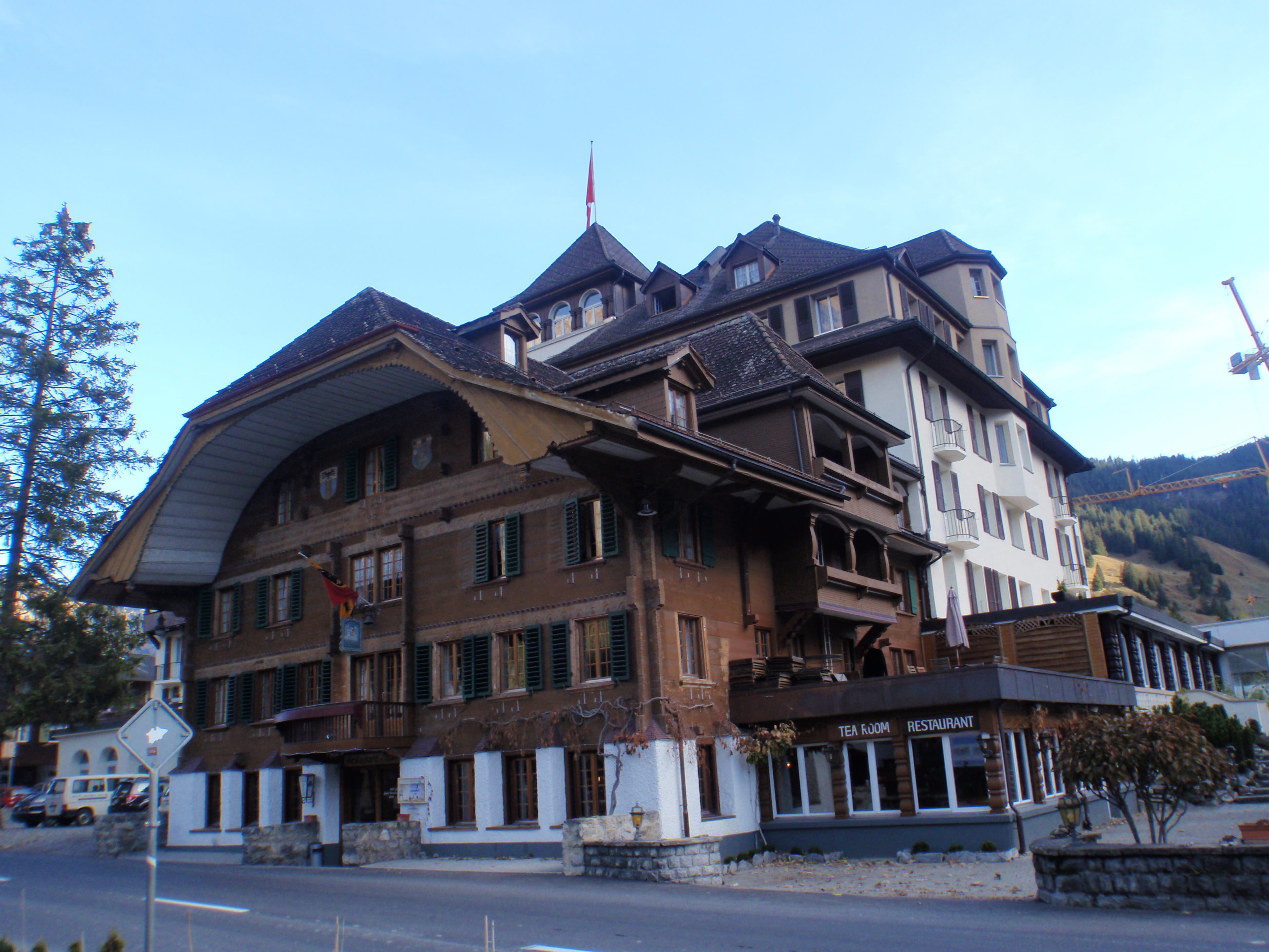
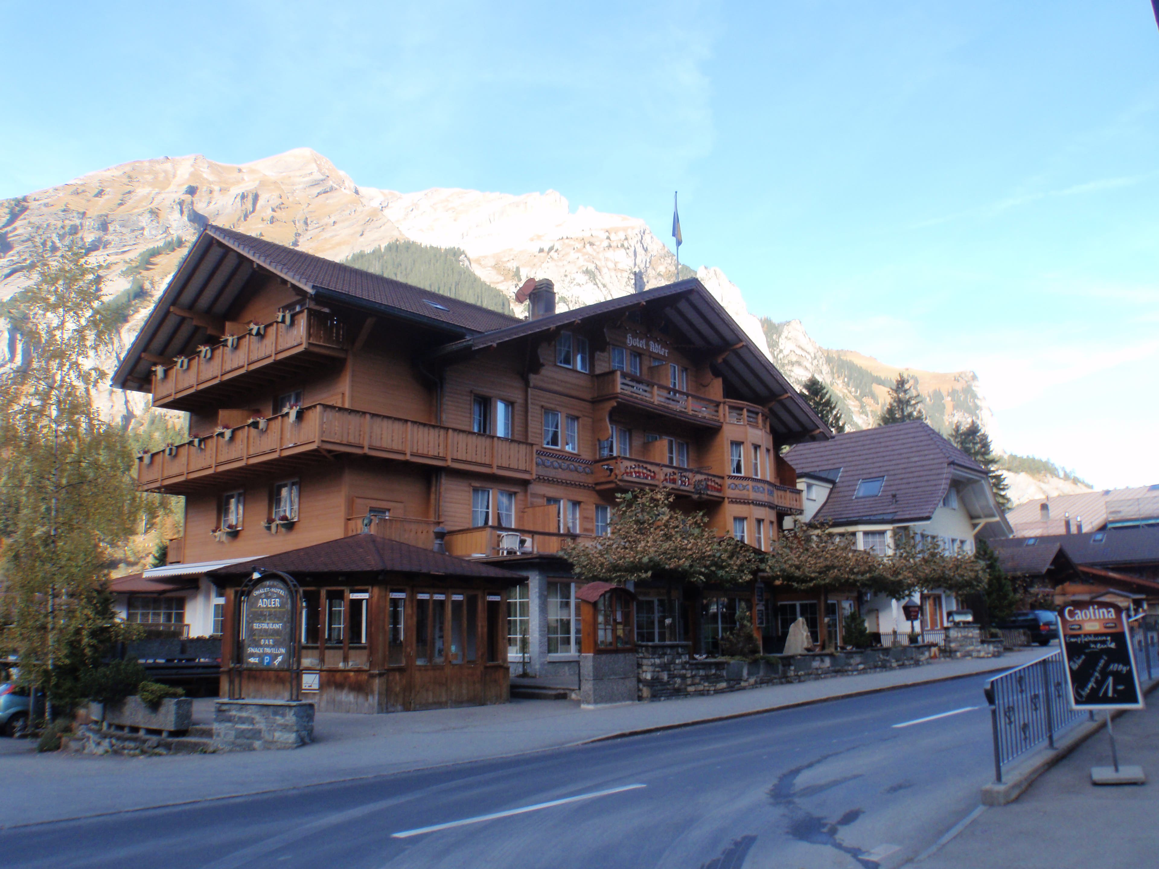
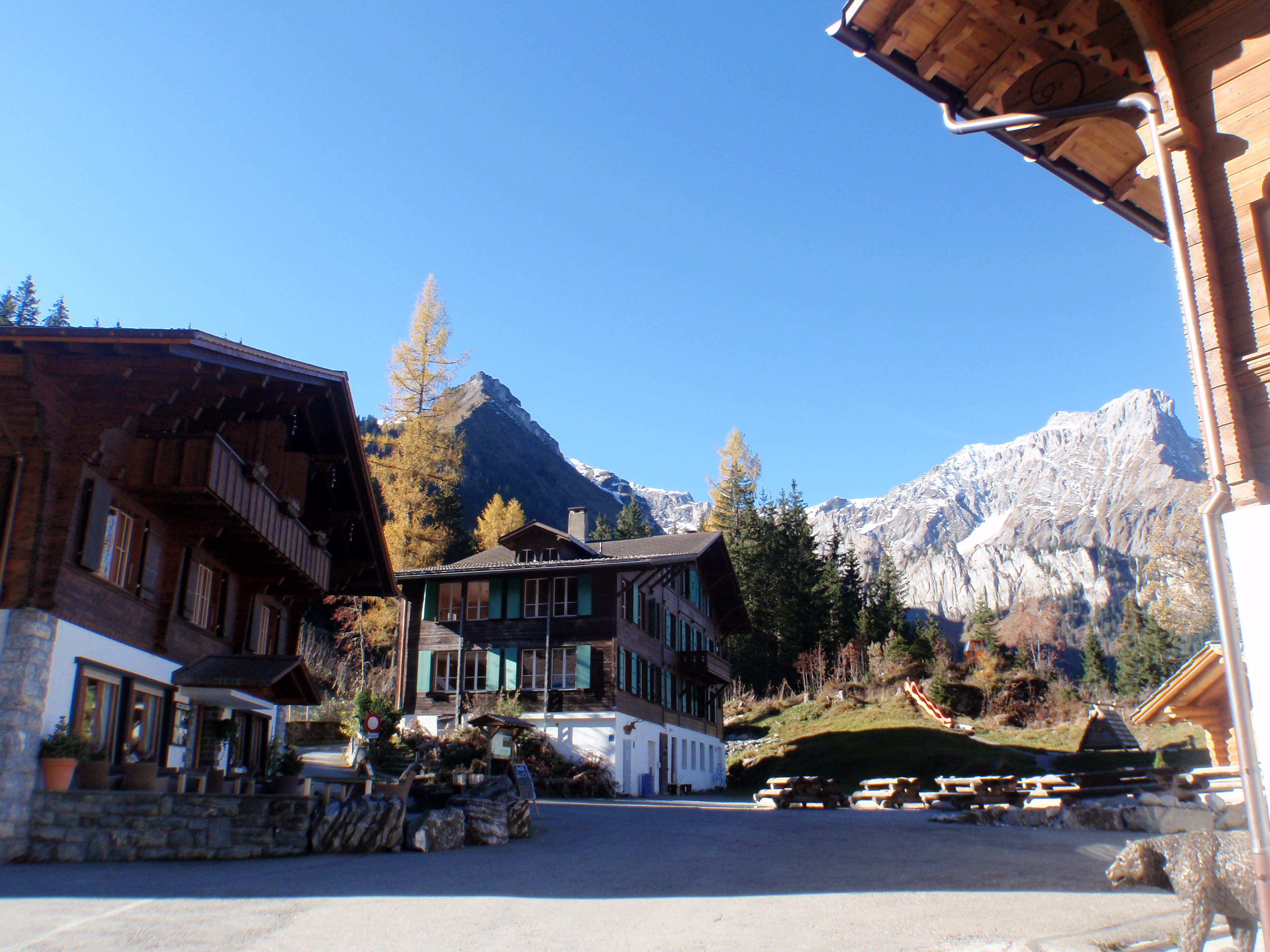
Hang a right near this hotel in downtown Kandersteg.
VIA040
Location: 46.493409, 7.700471
The Via Alpina is marked by a #1 logo.
VIA041
Location: 46.497611, 7.714639
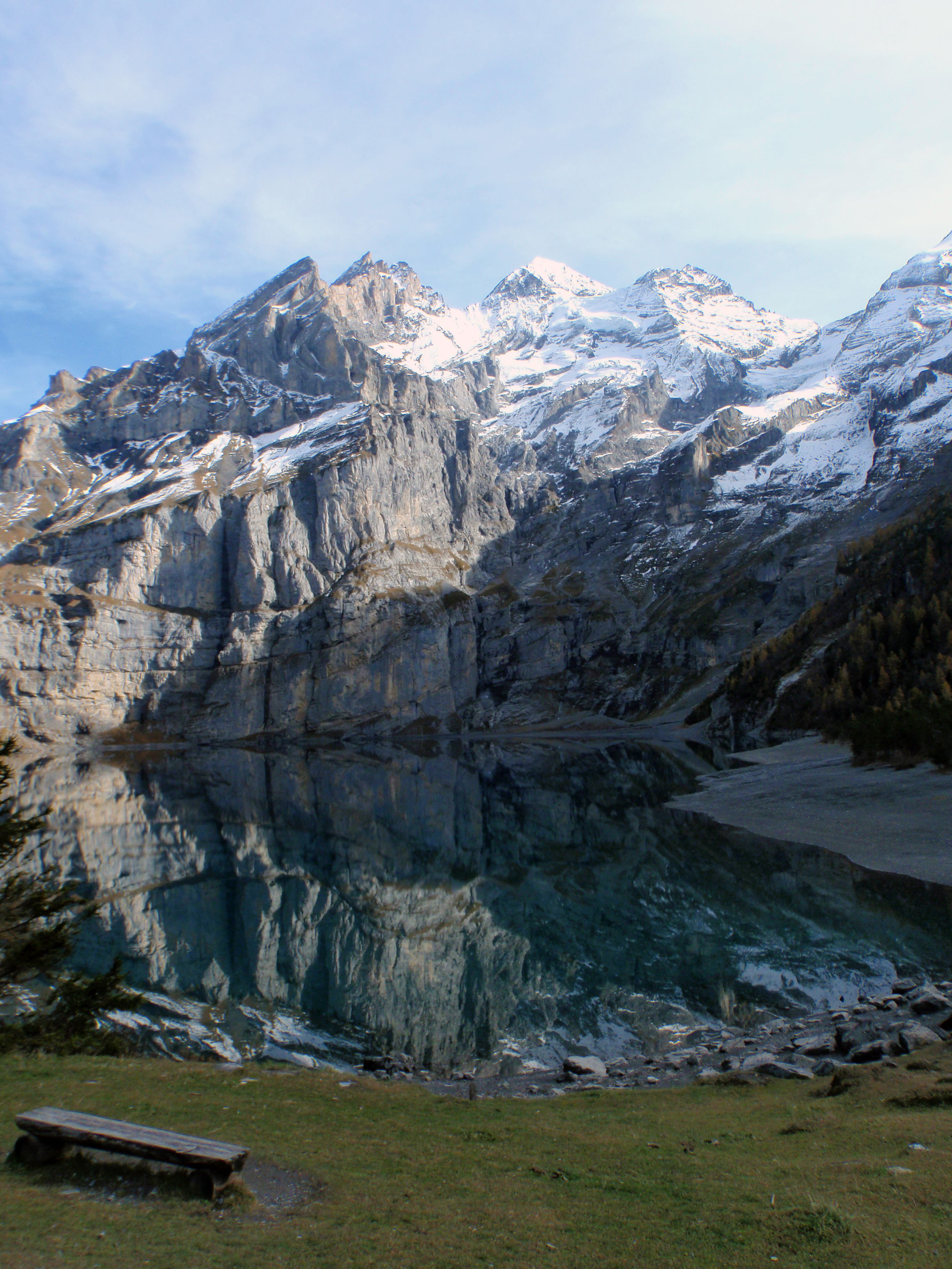
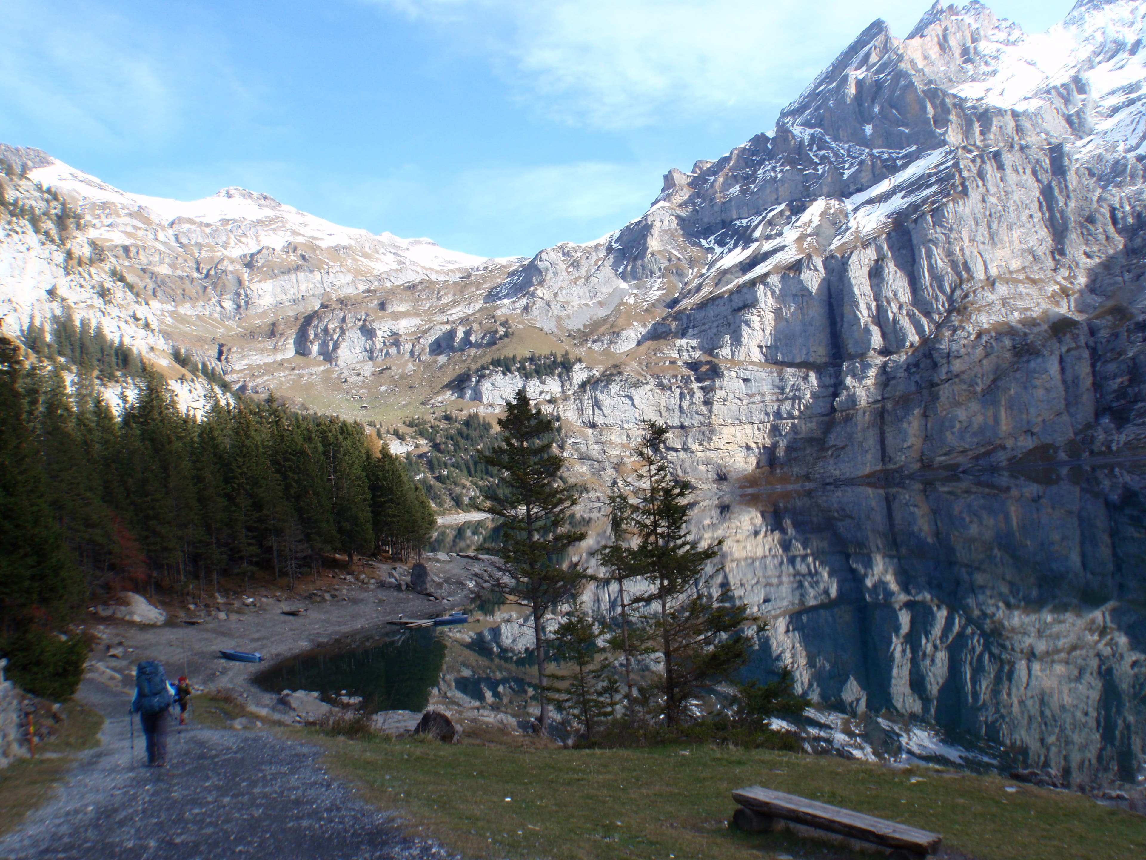
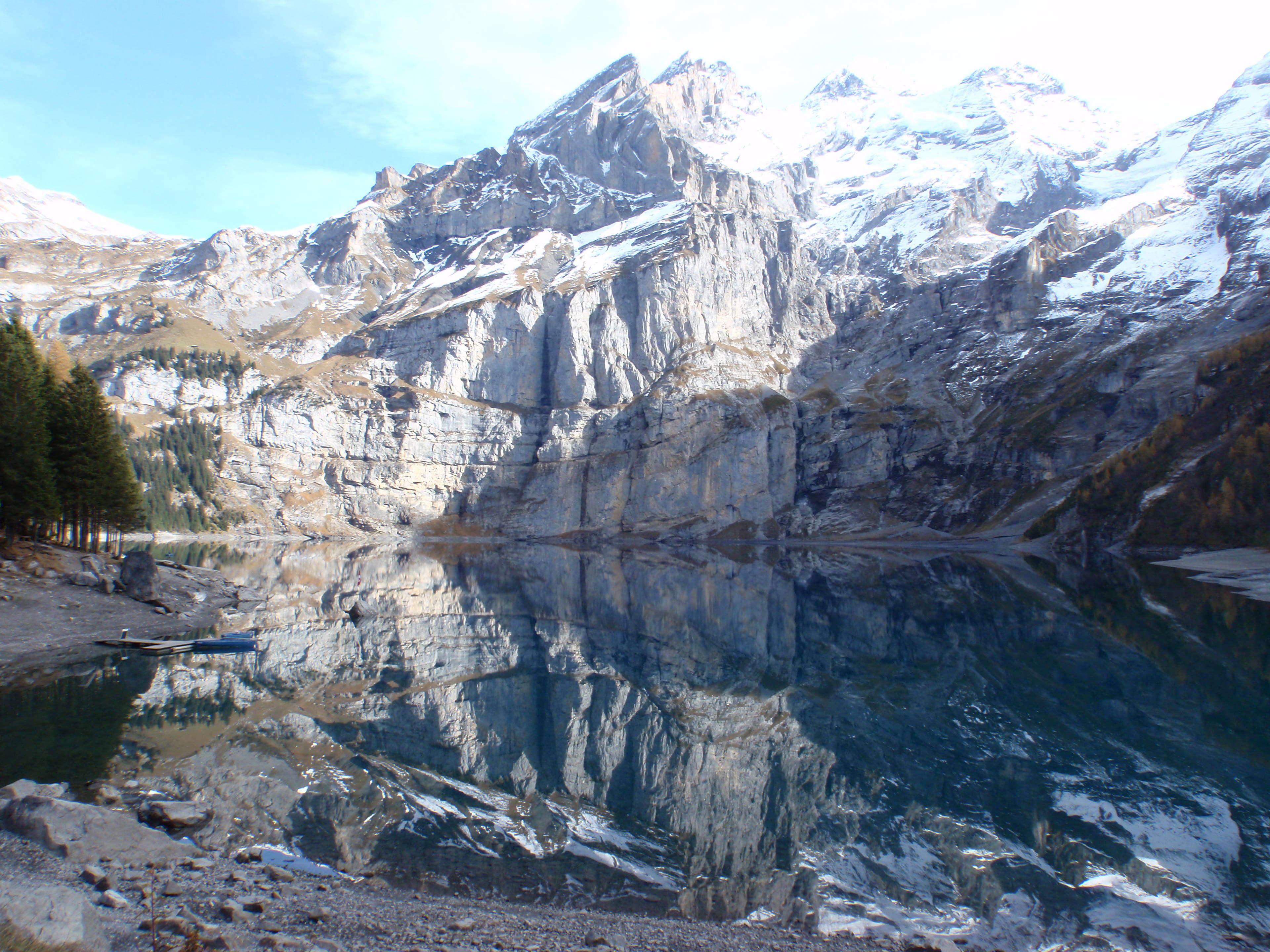
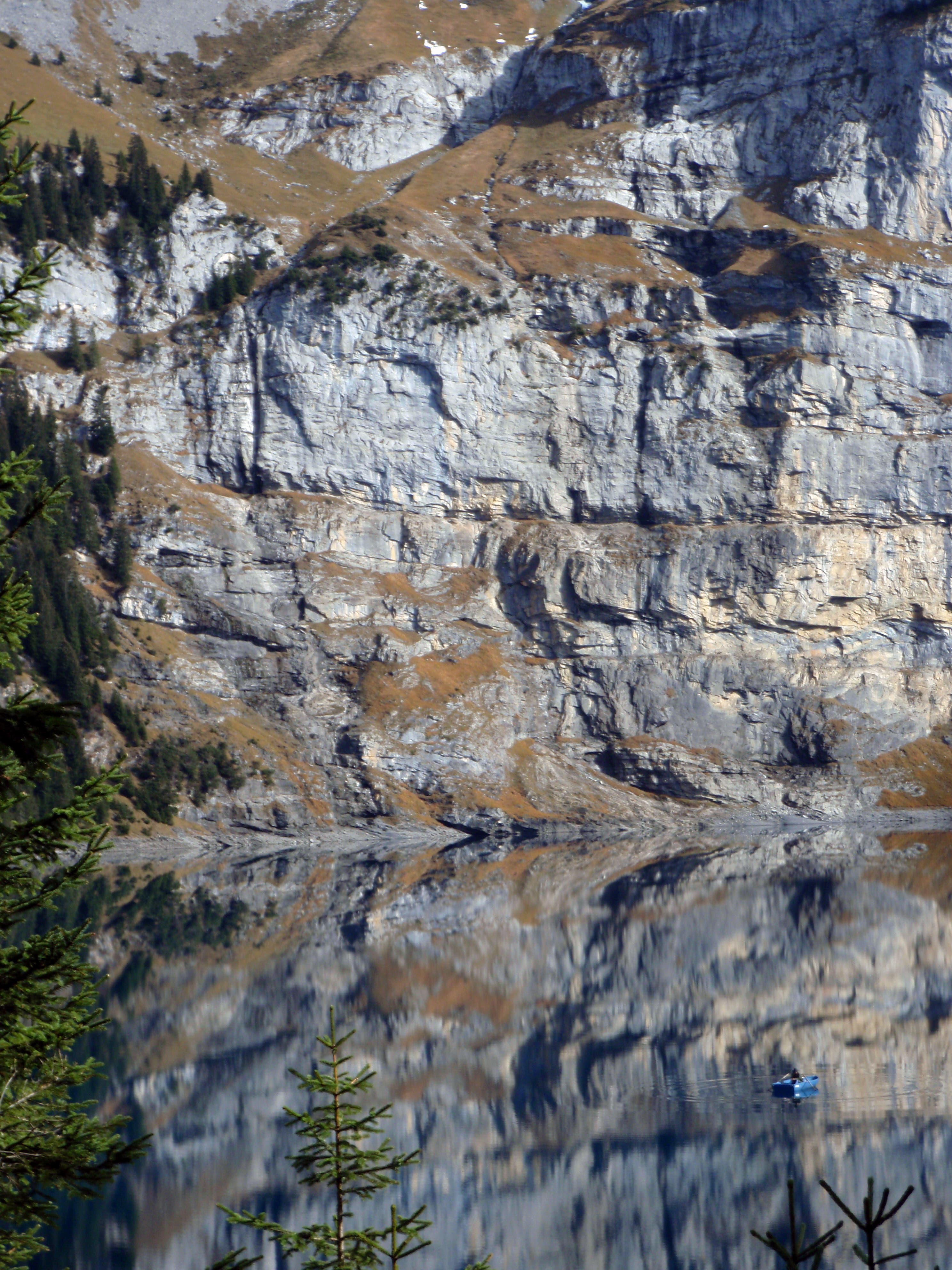
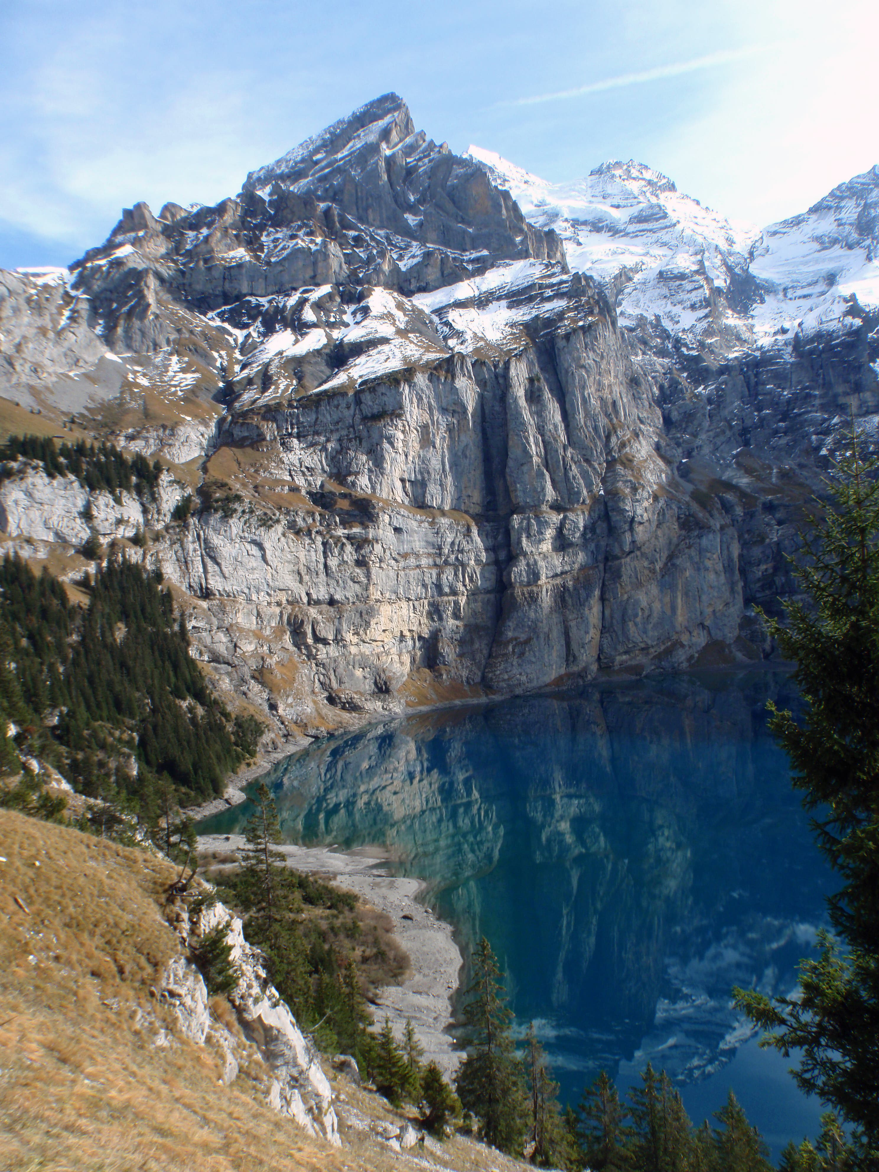
Berghaus by the stunning lake
VIA042
Location: 46.497883, 7.715138
First view of the lake
VIA043
Location: 46.498045, 7.715471
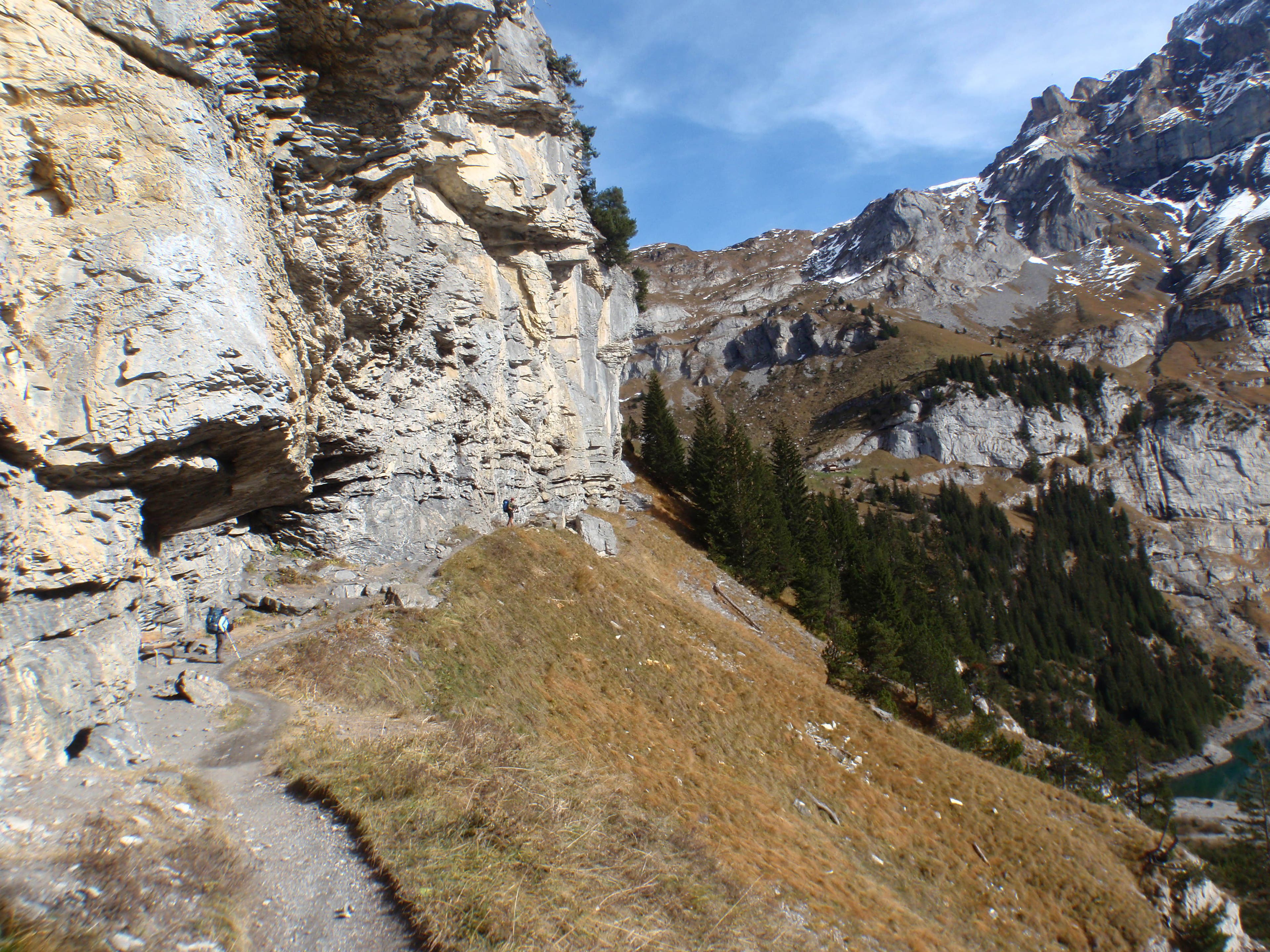
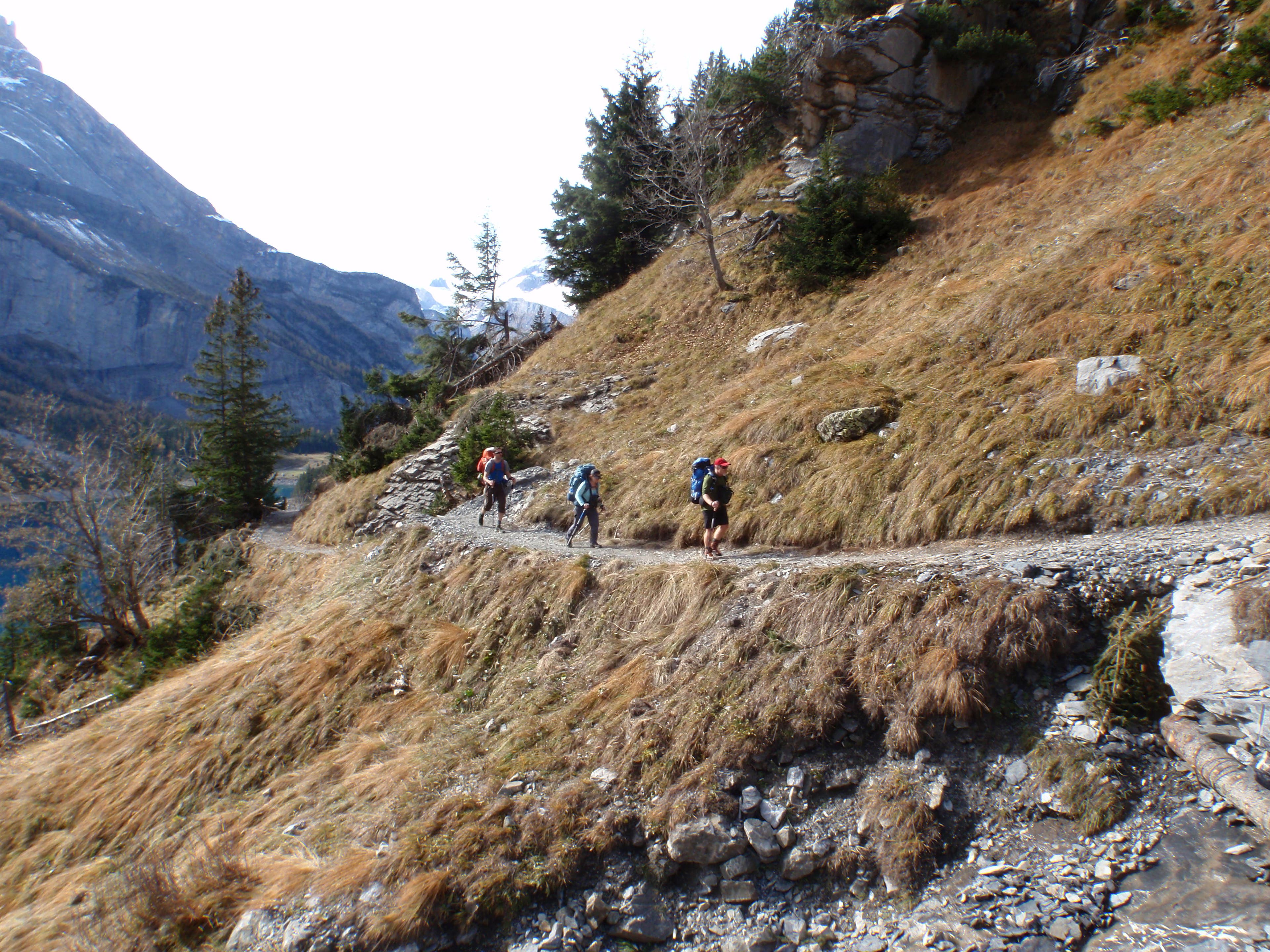
The path tracks long the left shore.
VIA044
Location: 46.498281, 7.715814
VIA045
Location: 46.498333, 7.716694
VIA046
Location: 46.502587, 7.72385
Just past the lake, you’ll start gaining some serious elevation.
VIA047
Location: 46.502602, 7.723989
VIA048
Location: 46.504334, 7.727809
VIA049
Location: 46.509477, 7.736998
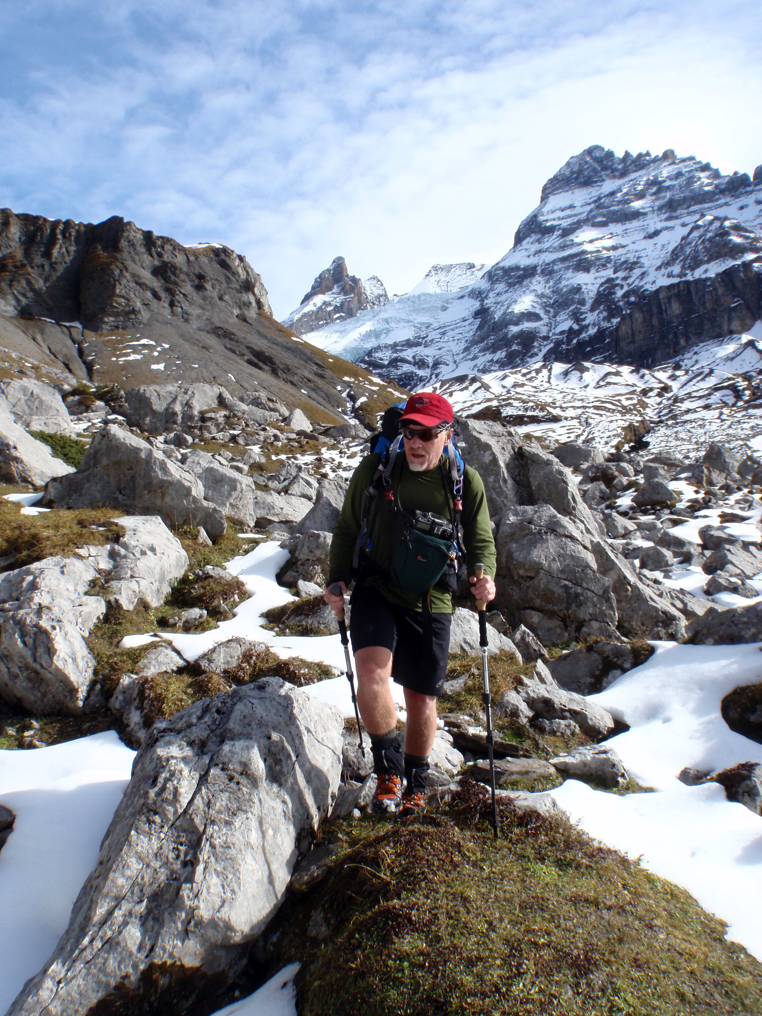
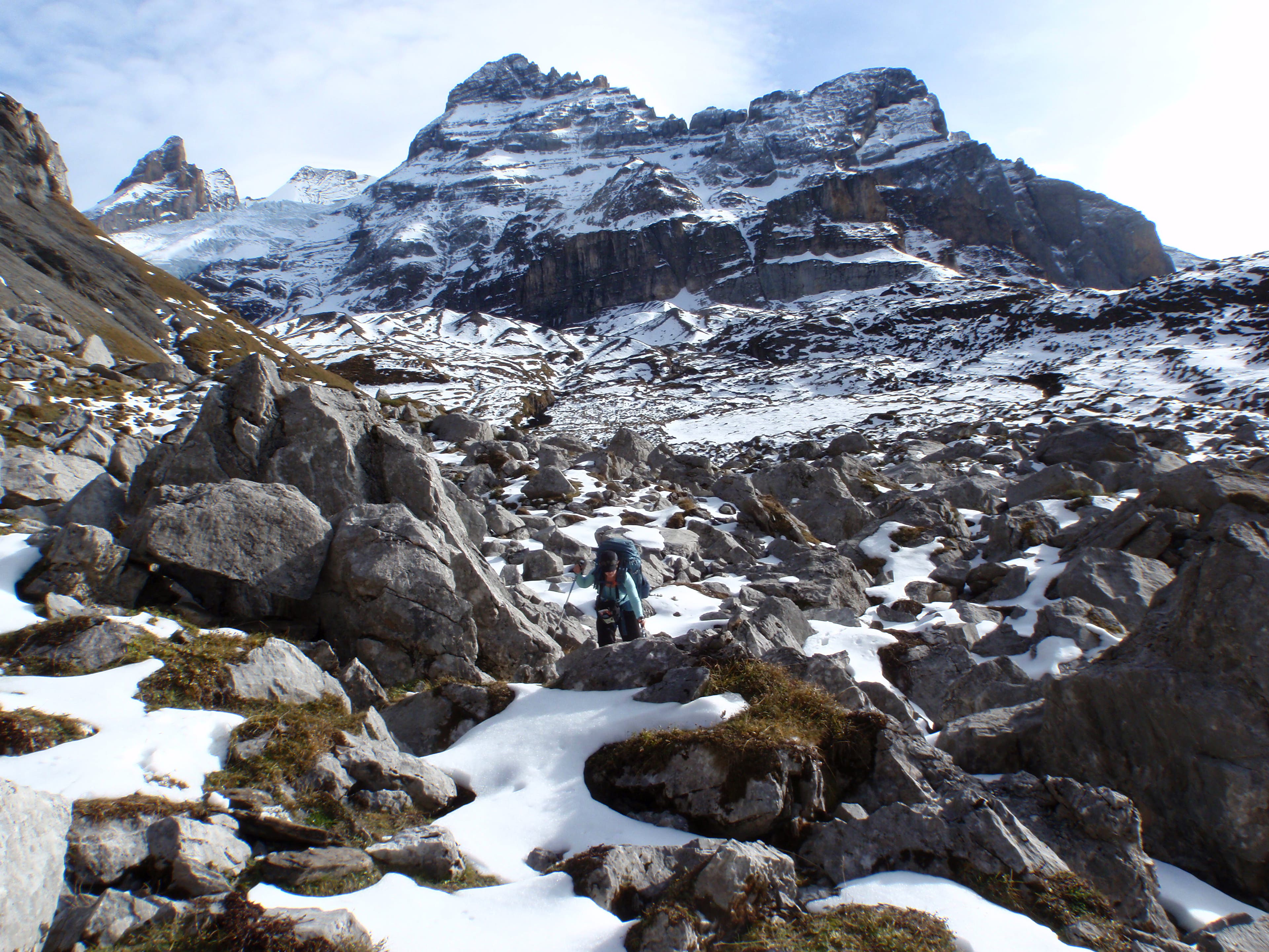
Navigating through a boulderfield.
VIA050
Location: 46.509484, 7.737234
VIA051
Location: 46.508229, 7.740029
VIA052
Location: 46.508916, 7.74431
VIA053
Location: 46.508893, 7.744406
VIA054
Location: 46.508336, 7.751053
VIA055
Location: 46.508362, 7.751225
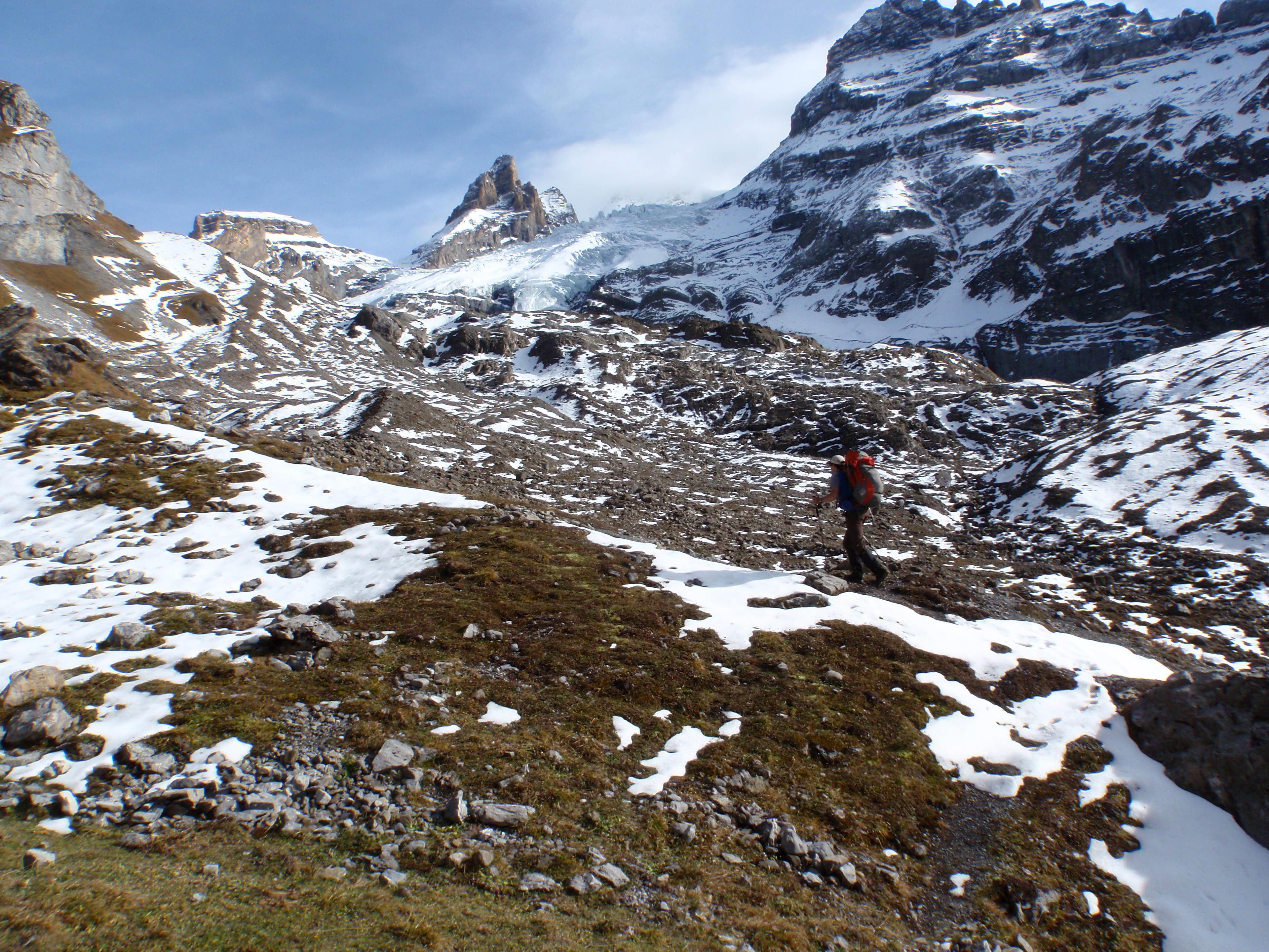
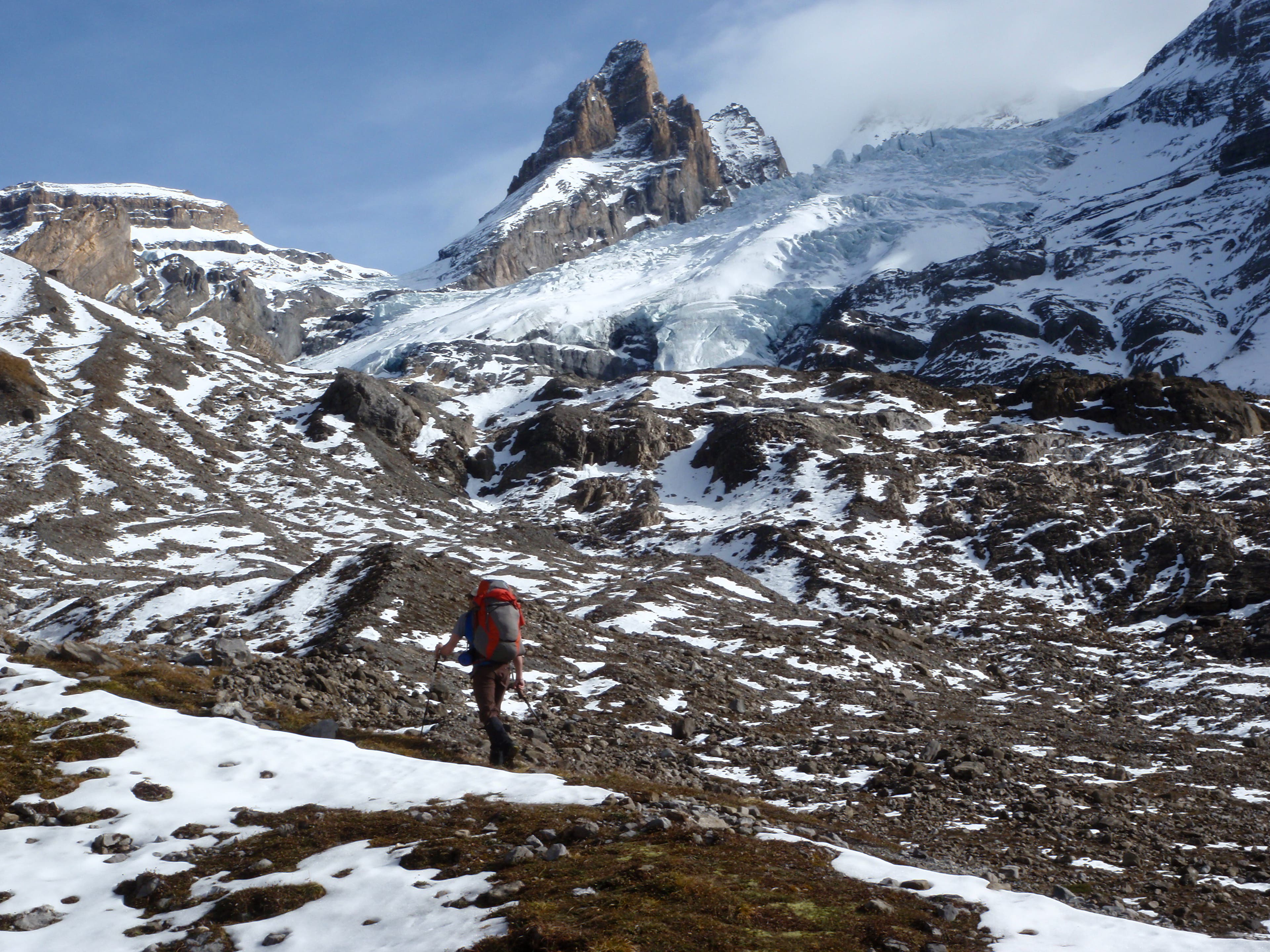
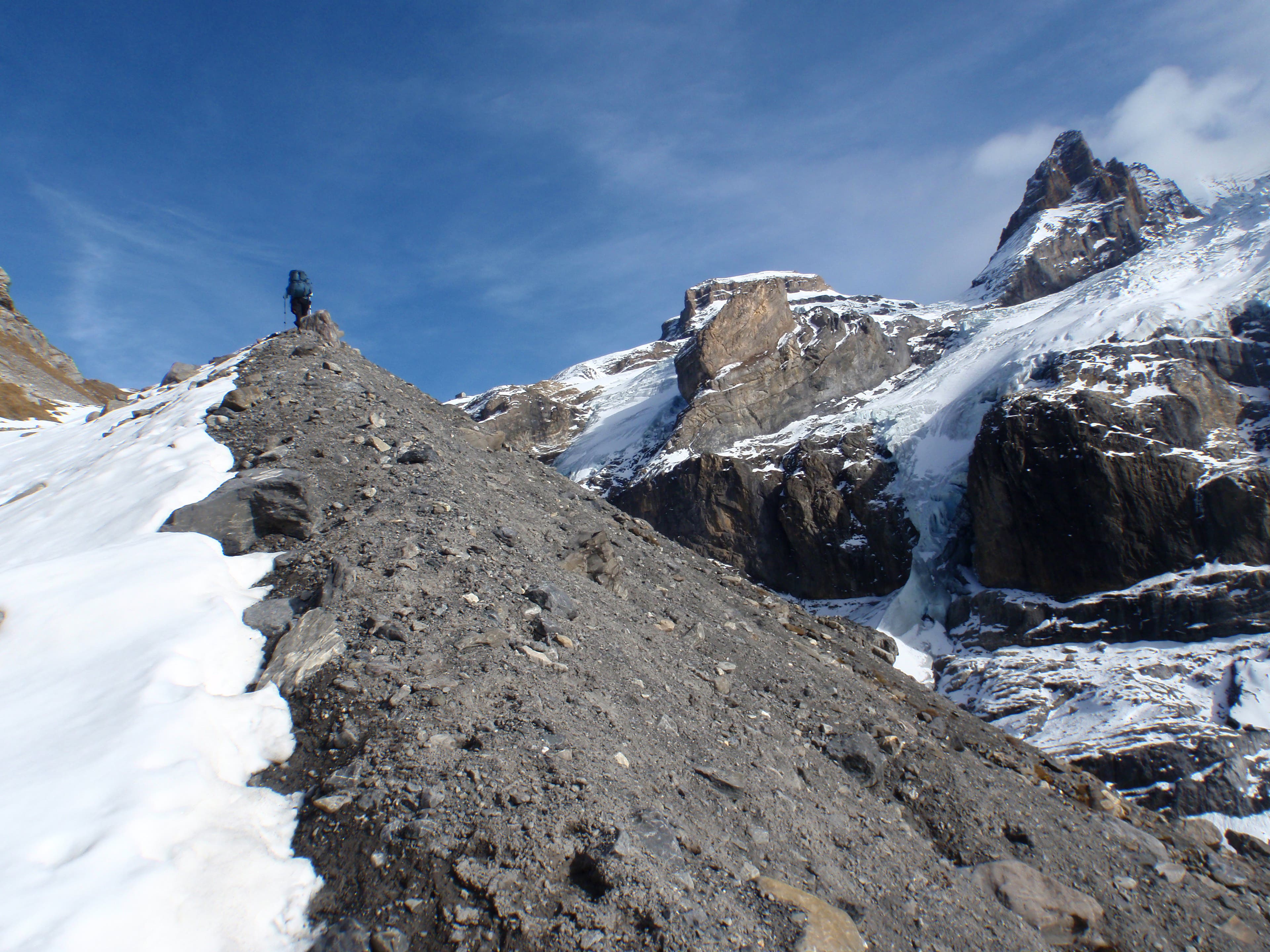
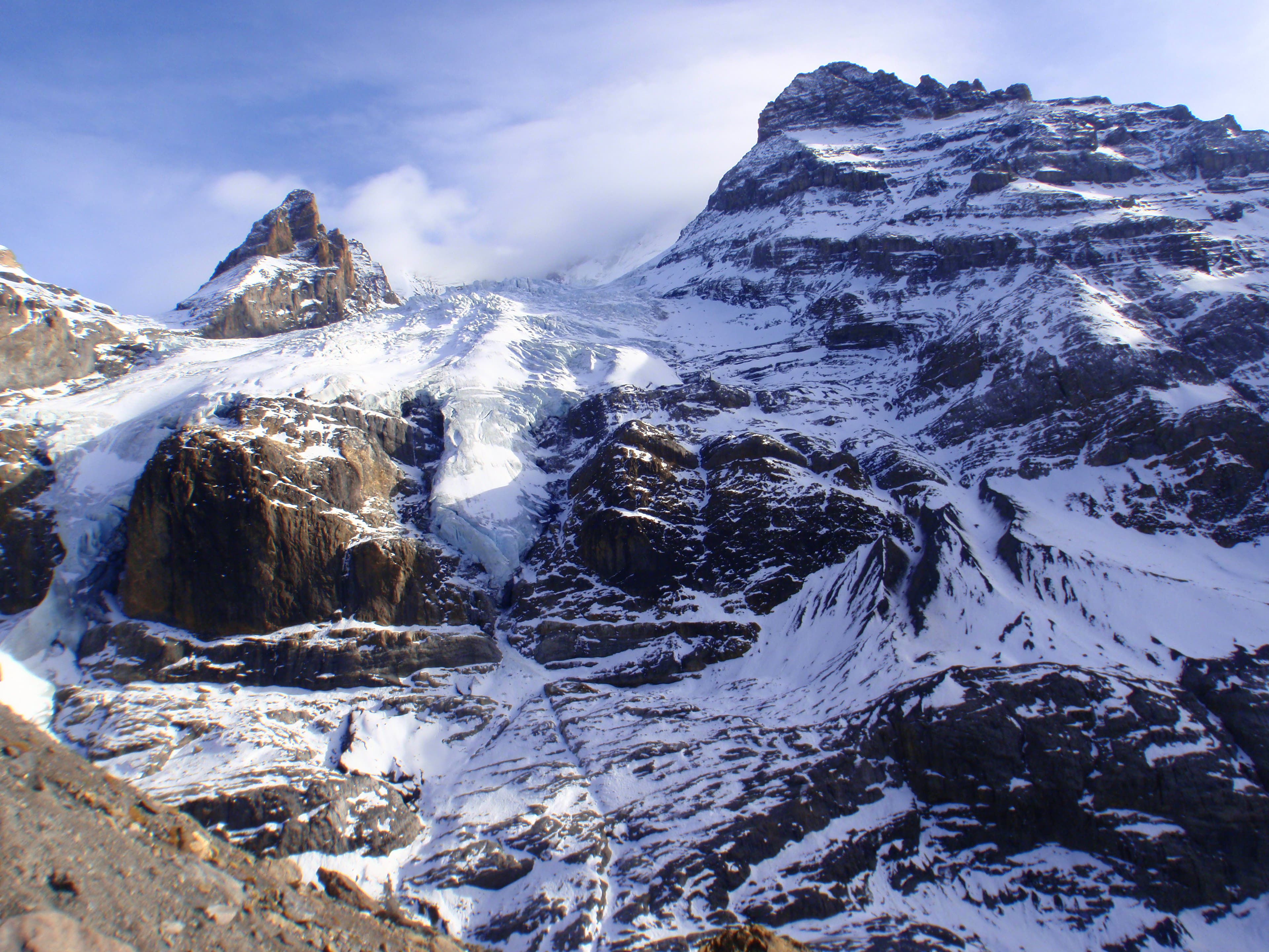
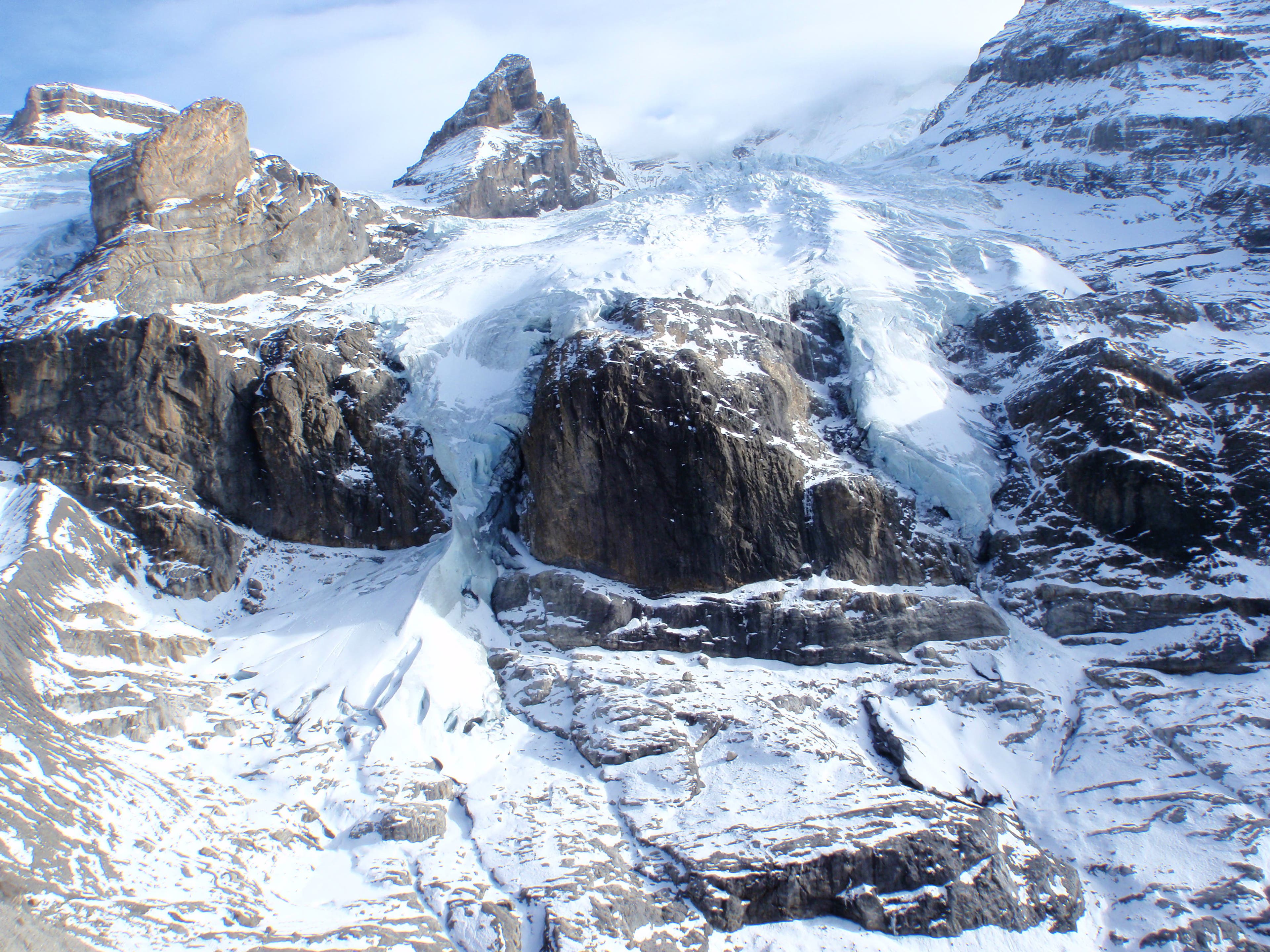
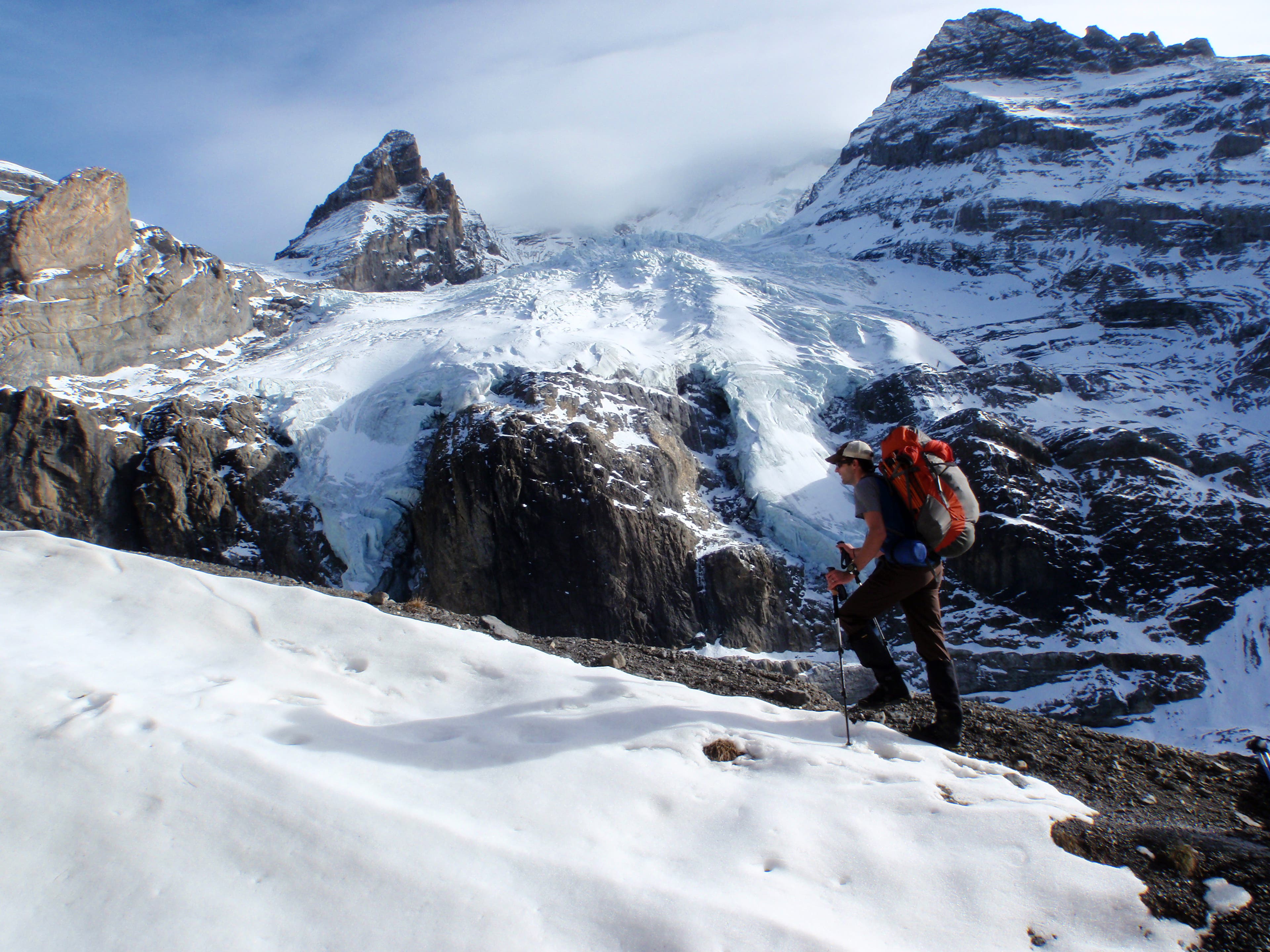
Hanging glaciers on the opposite side of the valley.
VIA056
Location: 46.508395, 7.751402
VIA057
Location: 46.508923, 7.753279
VIA058
Location: 46.508934, 7.753336
VIA059
Location: 46.509286, 7.754236
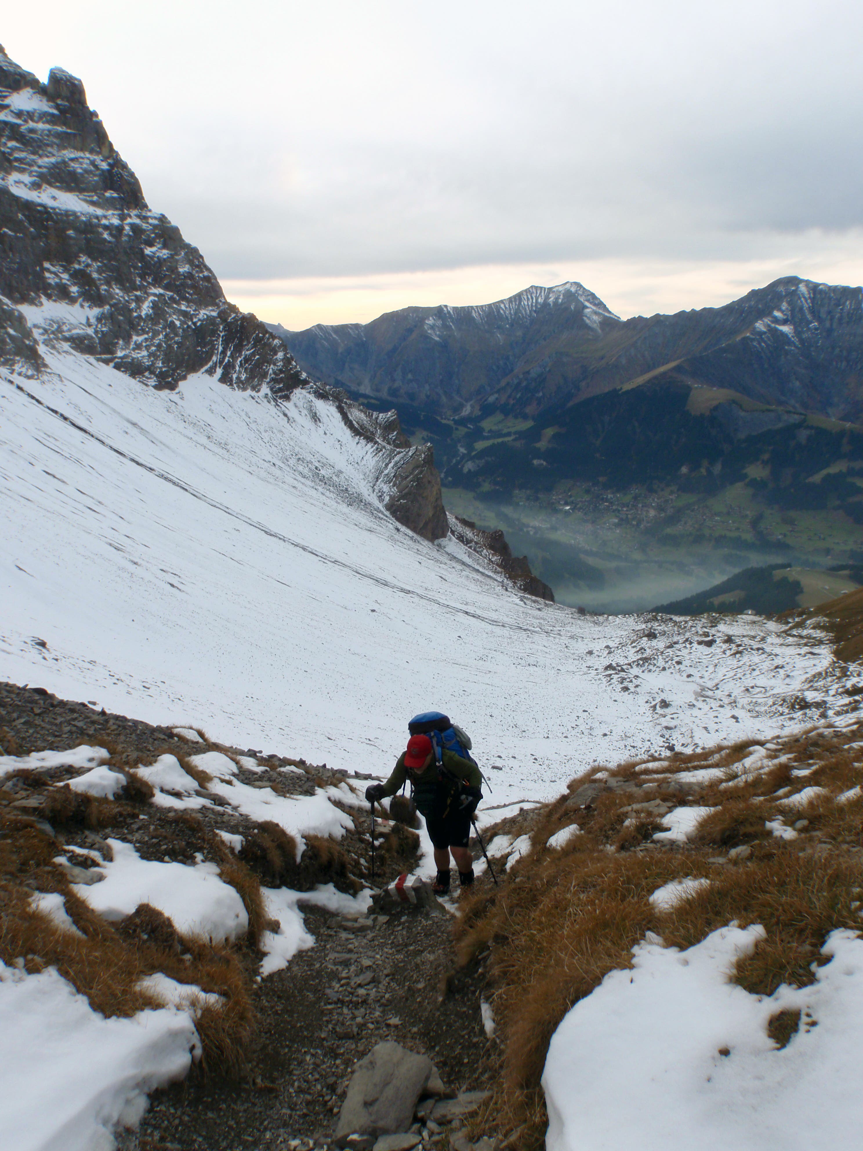
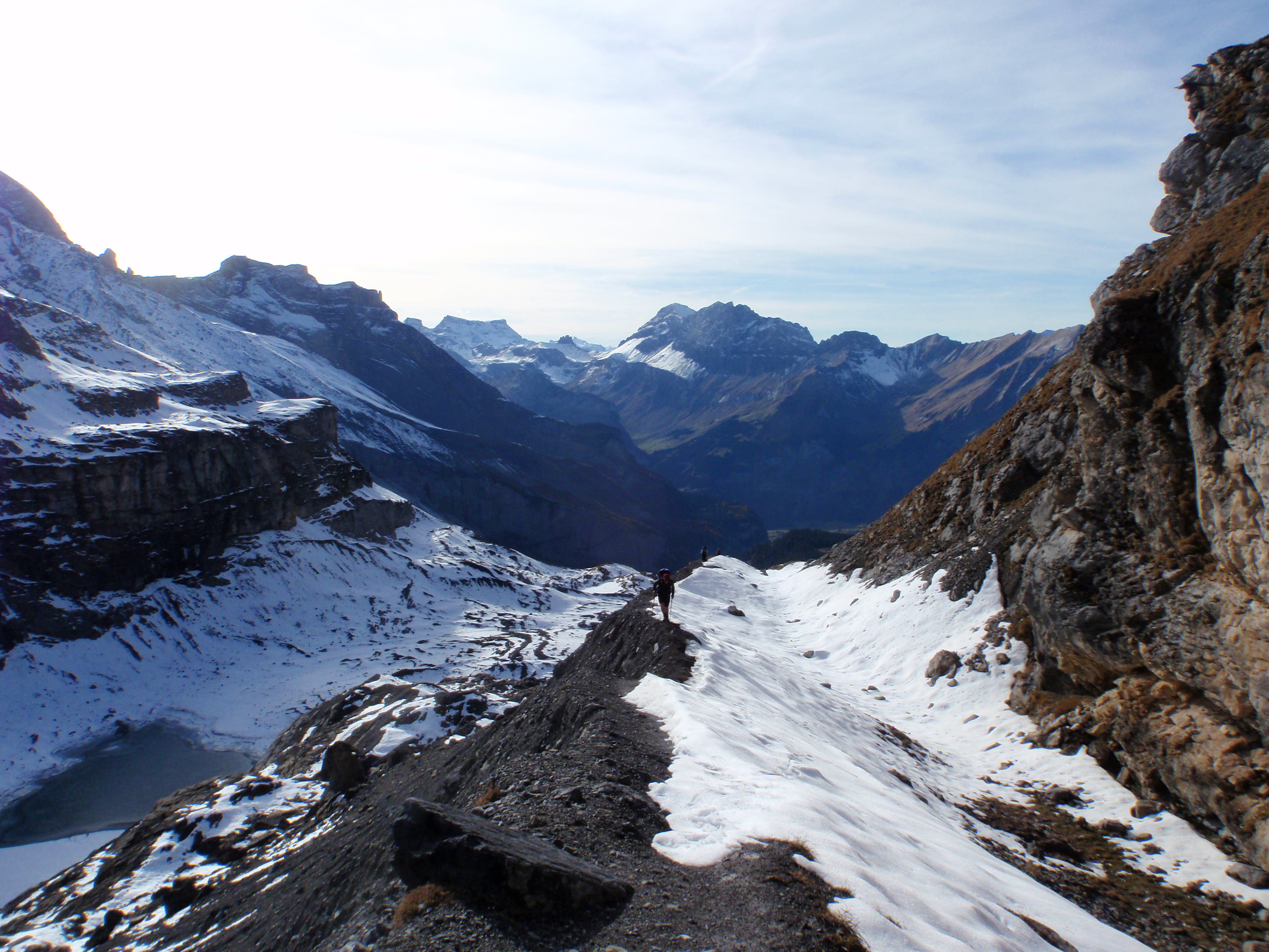
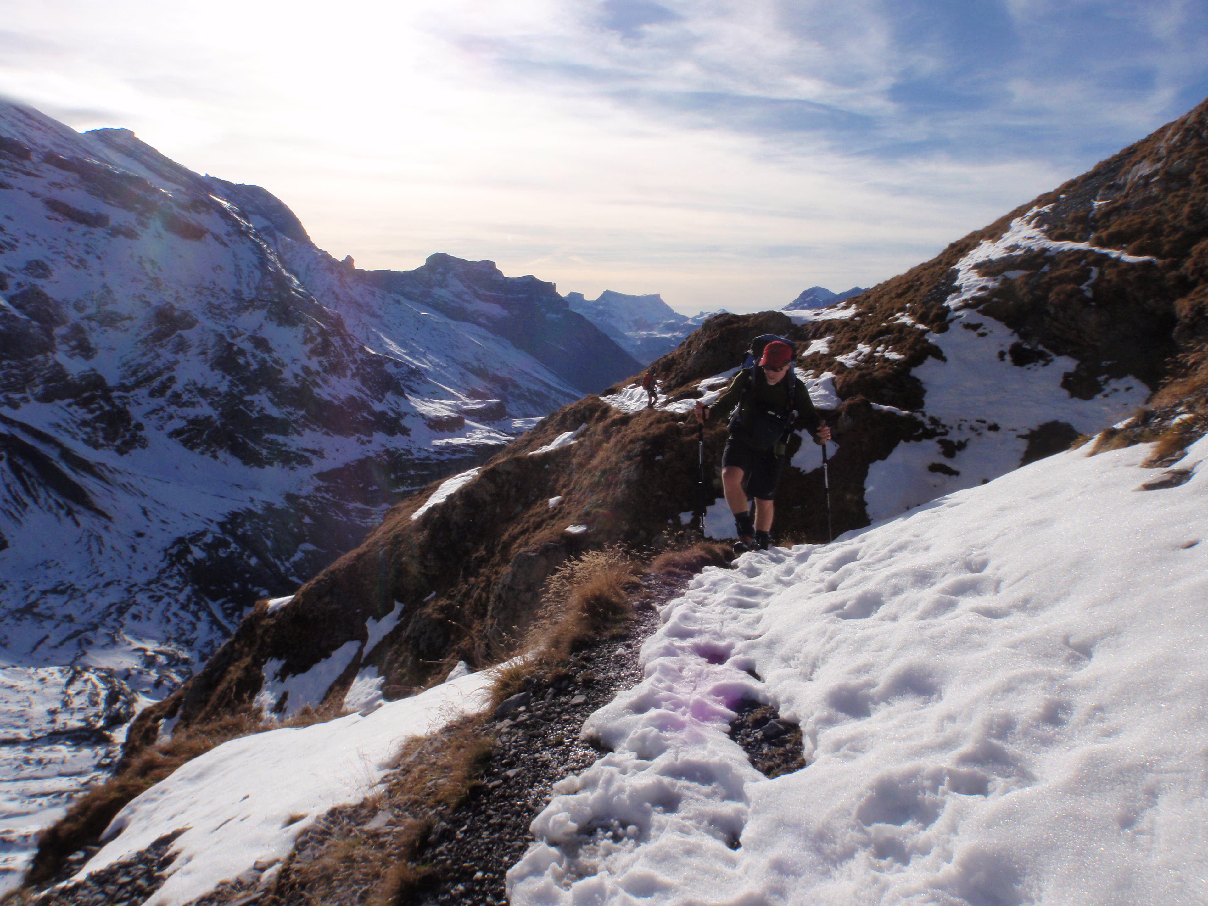
Climbing toward Hohturli, the highest pass on the Via Alpina at 9,114 feet.
VIA060
Location: 46.511582, 7.759216
VIA061
Location: 46.512356, 7.760768
VIA062
Location: 46.512401, 7.761004
VIA063
Location: 46.511888, 7.767769
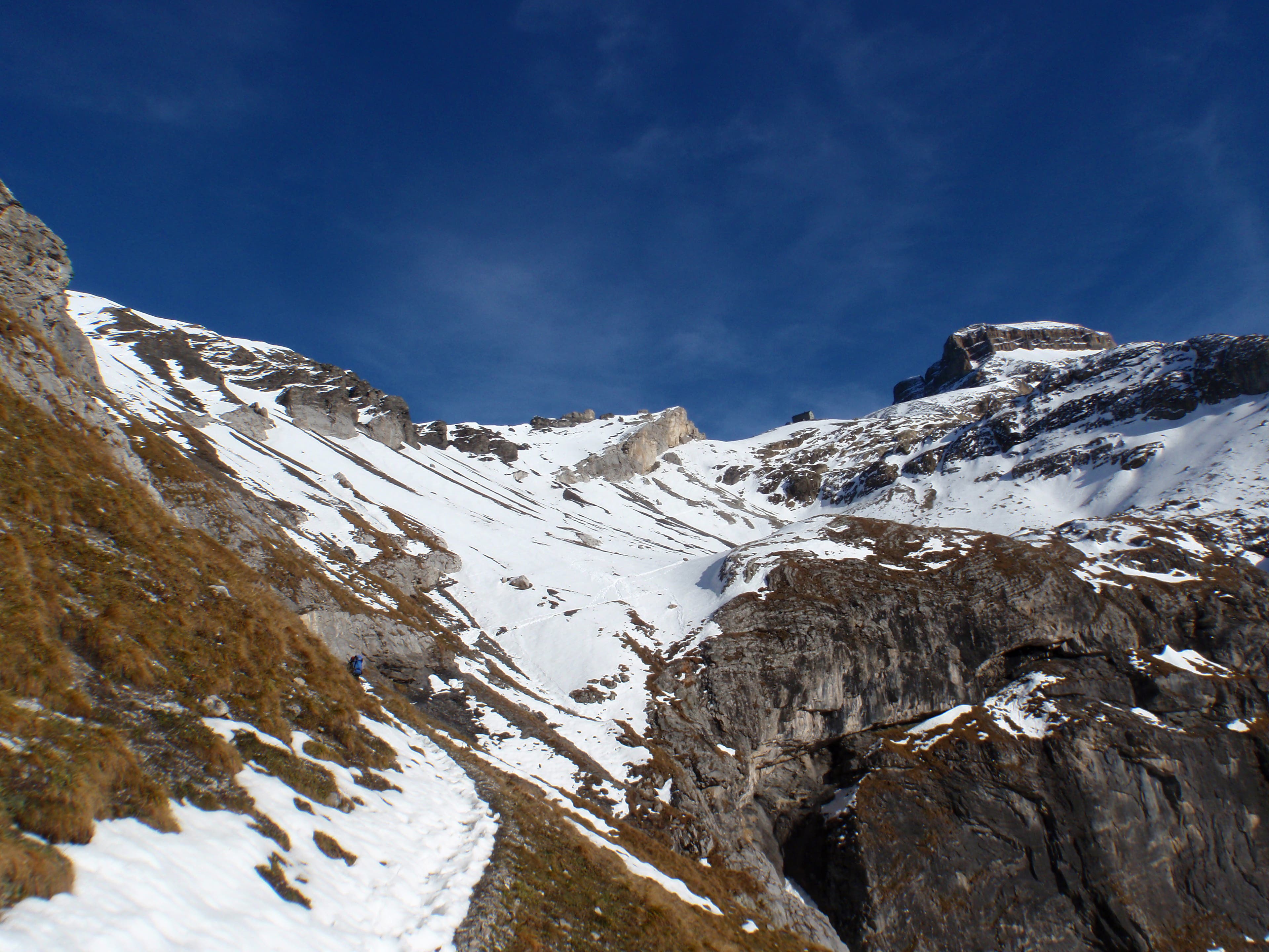
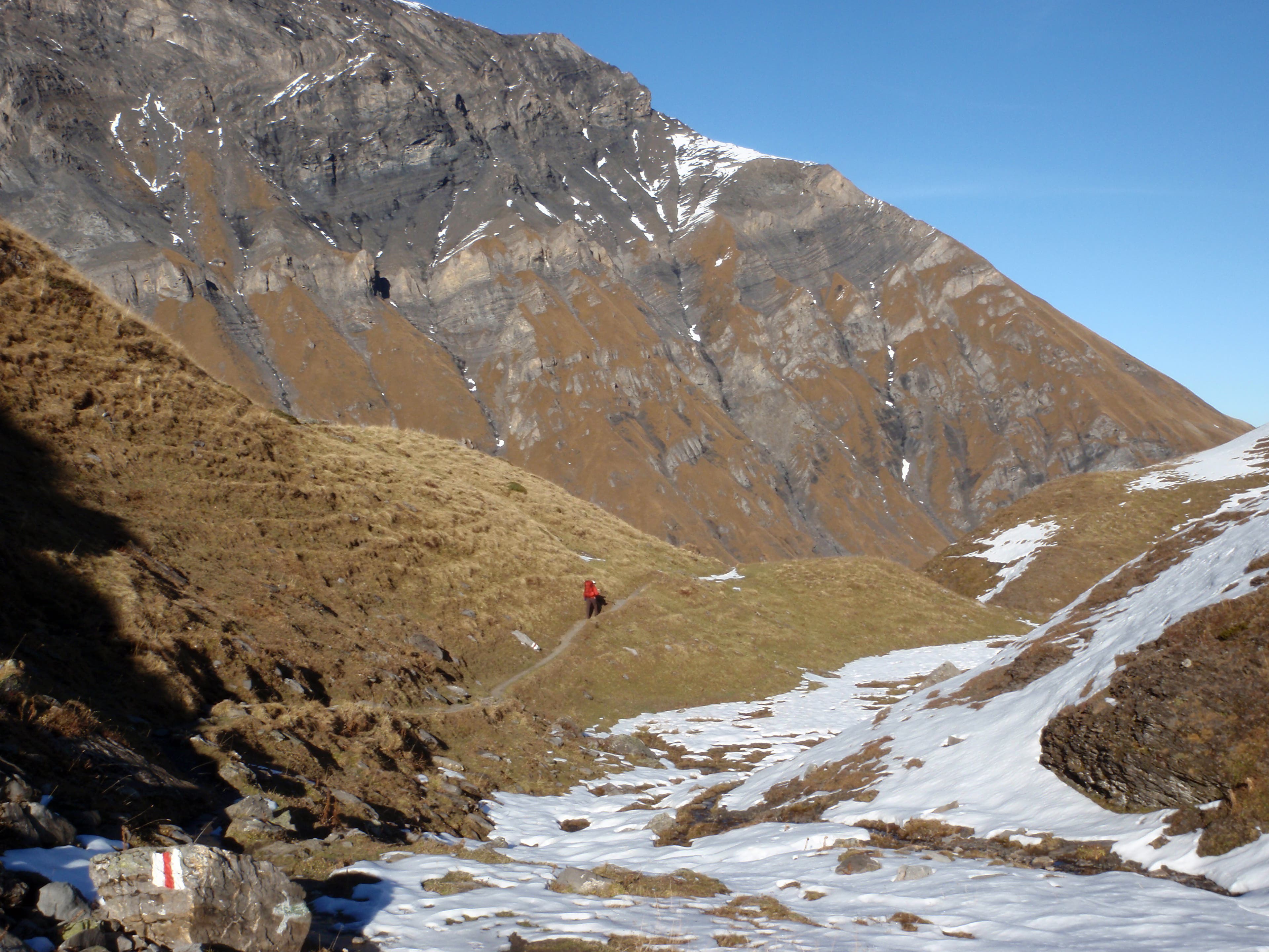
First clear view of Hohturli pass.
VIA064
Location: 46.511873, 7.76787
More impeccable signage
VIA065
Location: 46.511862, 7.767956
Kelly Bastone on her way to Hohturli.
VIA066
Location: 46.511301, 7.770225
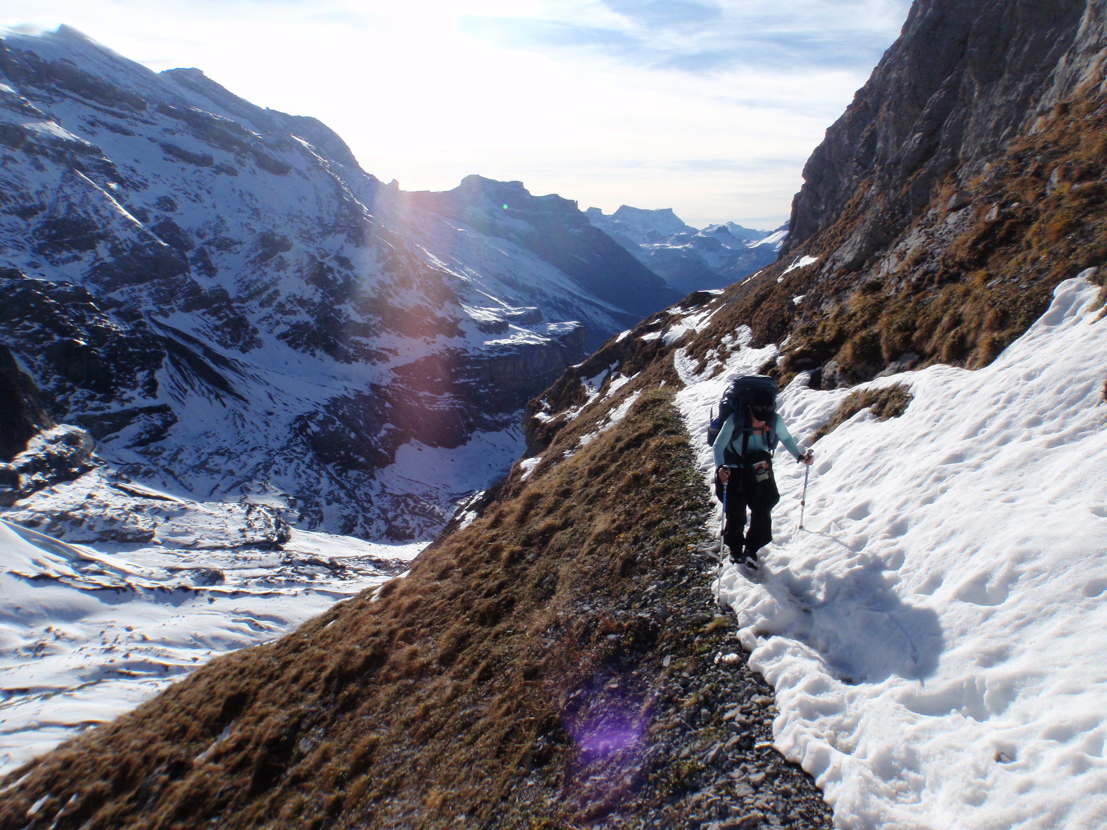
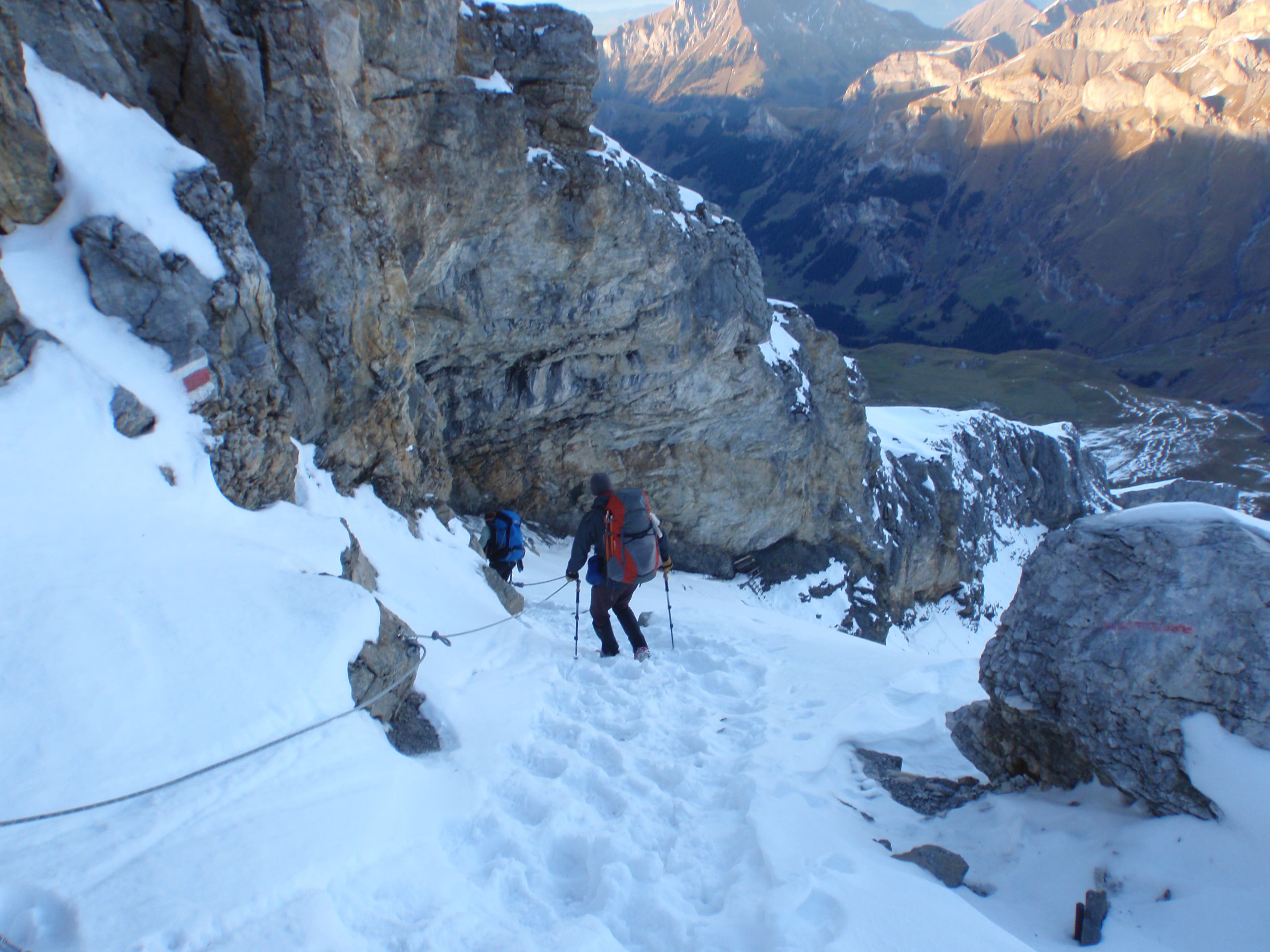
Descending toward Griesalp, using the fixed hand-line for support.
VIA067
Location: 46.512937, 7.771107
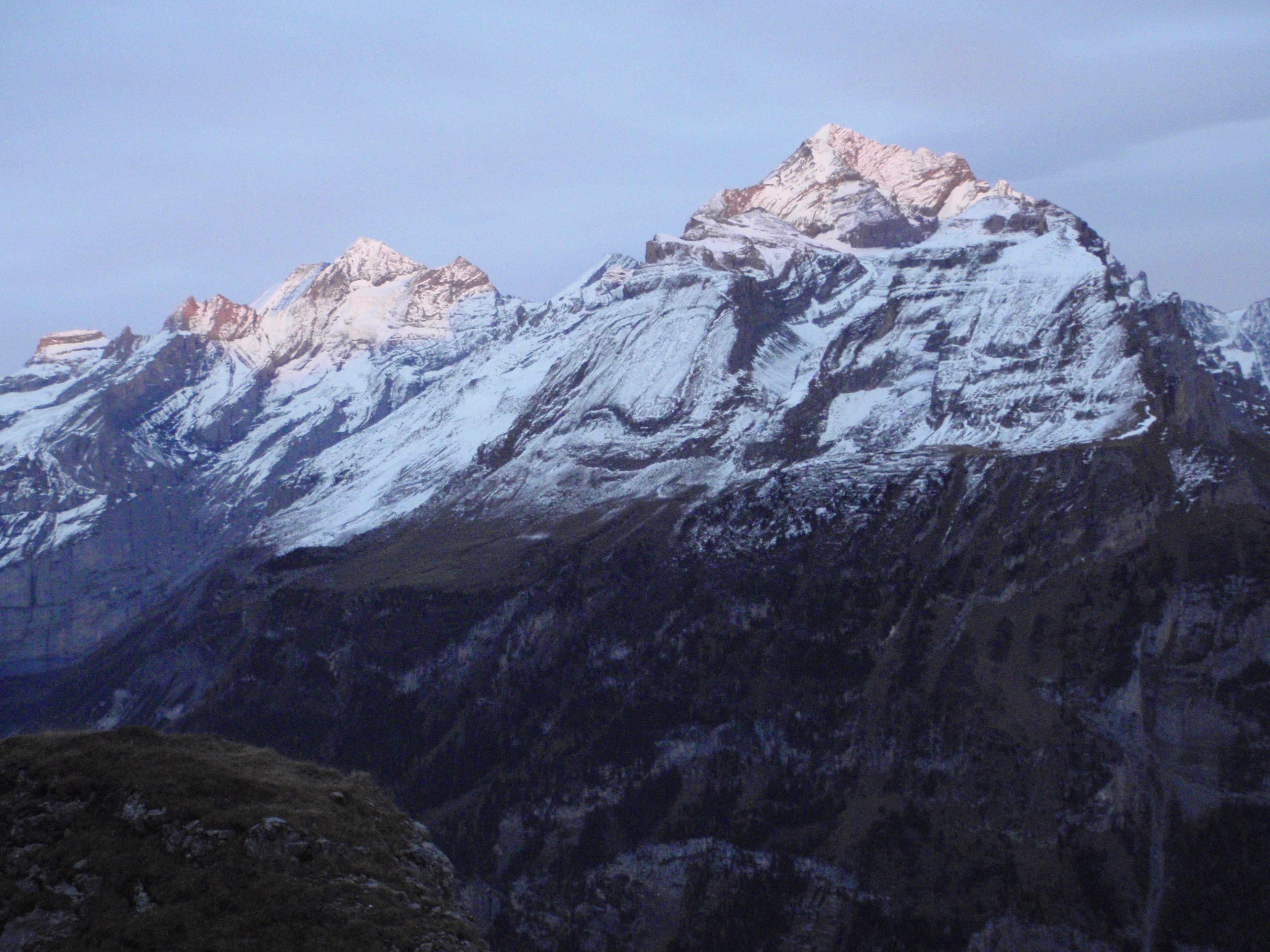
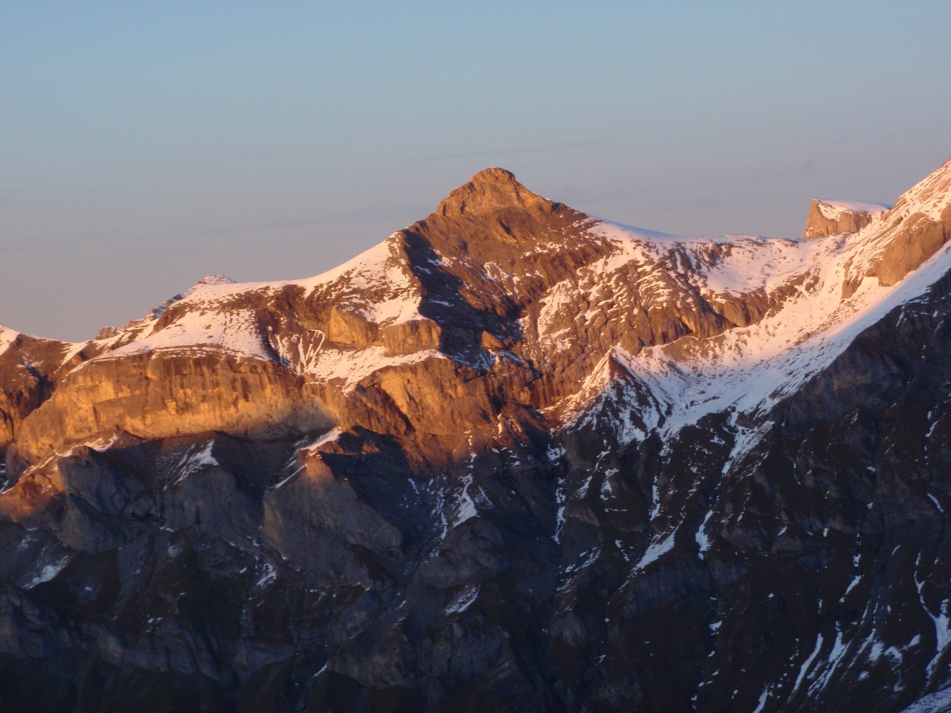
The sun setting on a ridge to the east.
VIA068
Location: 46.528871, 7.77257
VIA069
Location: 46.53046, 7.771845
VIA070
Location: 46.534451, 7.769823
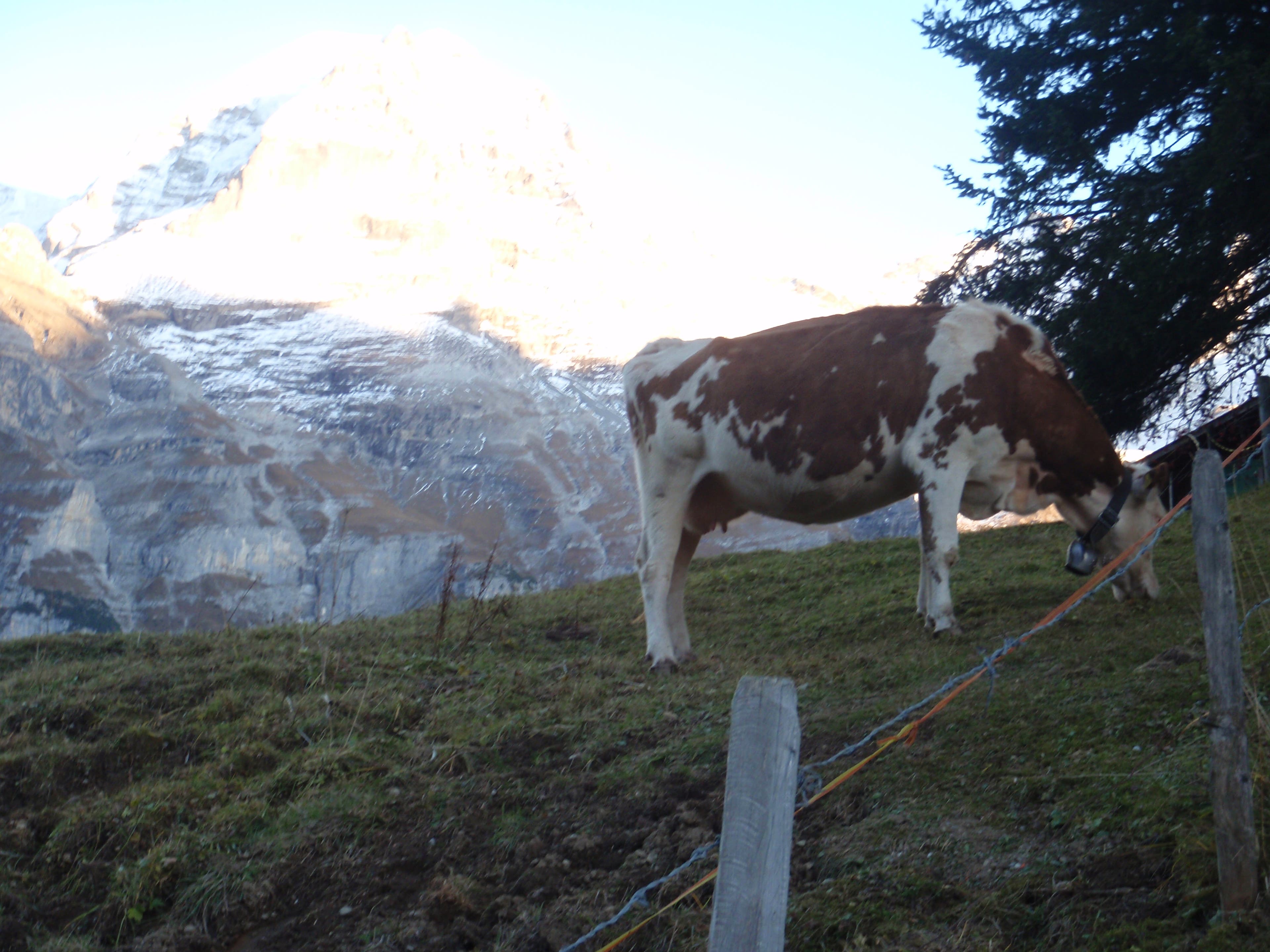
The Via Alpina passes through a small farm just outside of Griesalp.
VIA071
Location: 46.547173, 7.761146
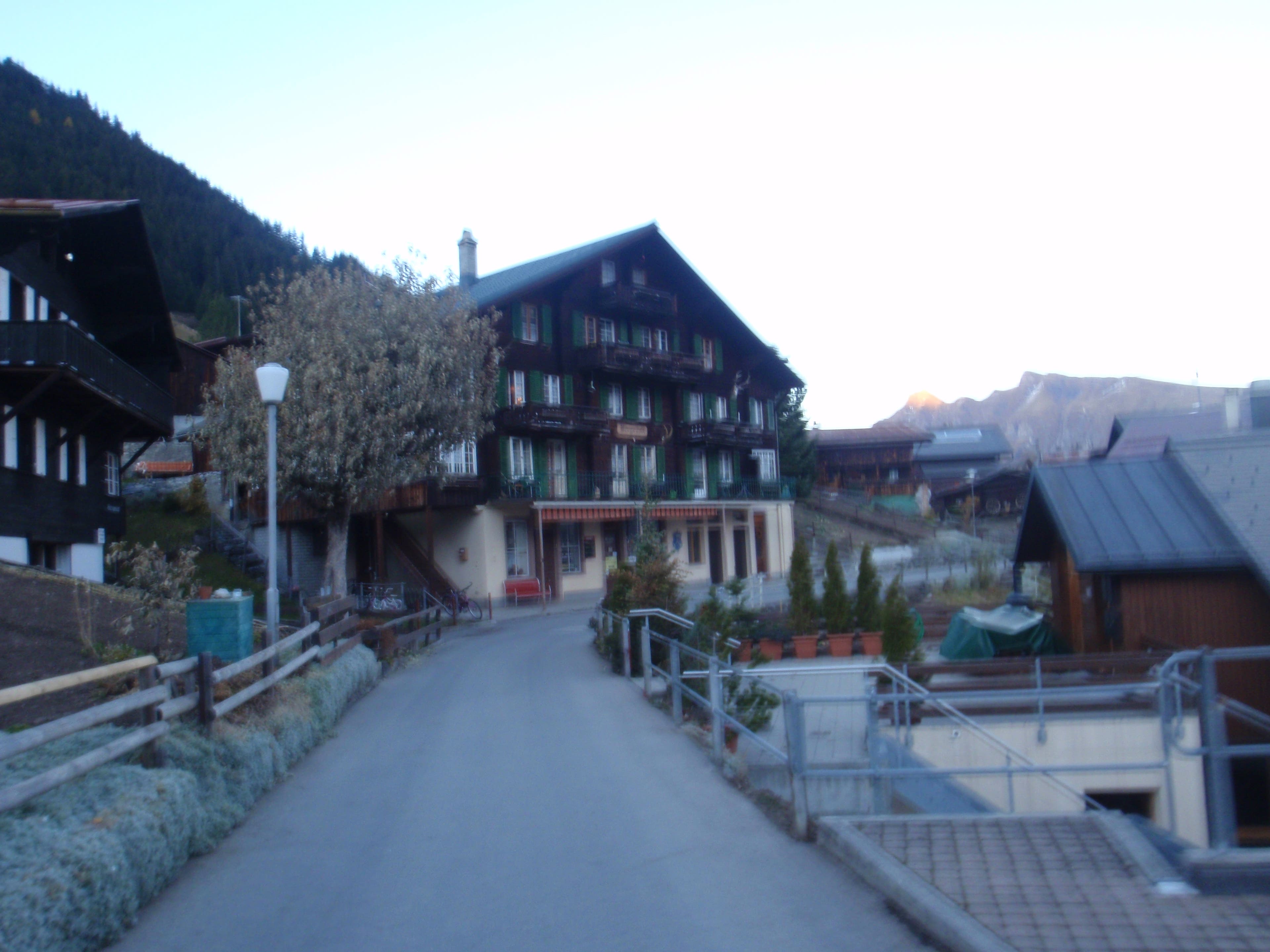
Don’t Blink: The village of Griesalp is nothing more than a few hotels and cottages.
VIA072
Location: 46.547528, 7.761639
Griesalp: Interesting post bus ride. It’s the steepest road serviced by bus in all of Europe.
VIA073
Location: 46.547535, 7.761787
VIA074
Location: 46.548472, 7.766562
Dennis Lewon hiking out of Griesalp.
VIA075
Location: 46.537954, 7.796279
Access the trail to the pass just behind a small collection of shepherd huts.
VIA076
Location: 46.53785, 7.796538
Dennis Lewon climbing toward the pass
VIA077
Location: 46.532759, 7.809774
VIA078
Location: 46.5324, 7.812684
Shannon Davis
VIA079
Location: 46.531521, 7.813028
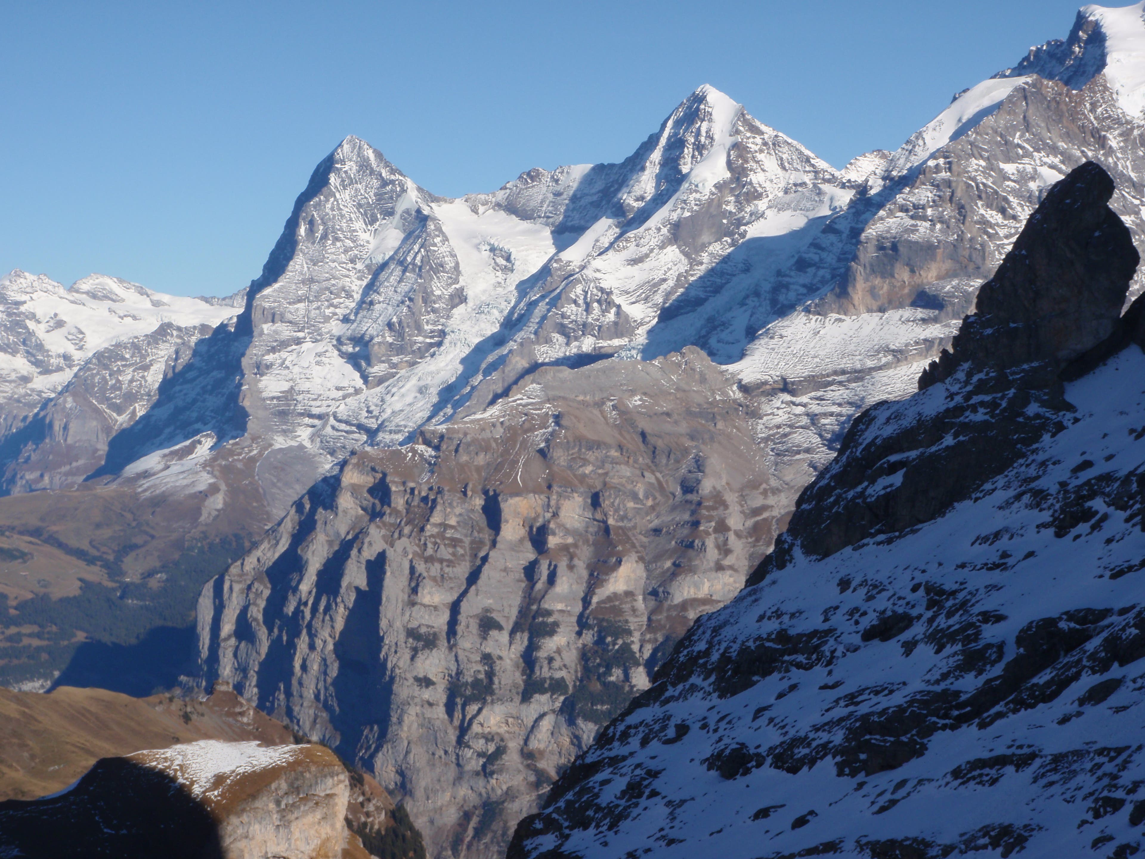
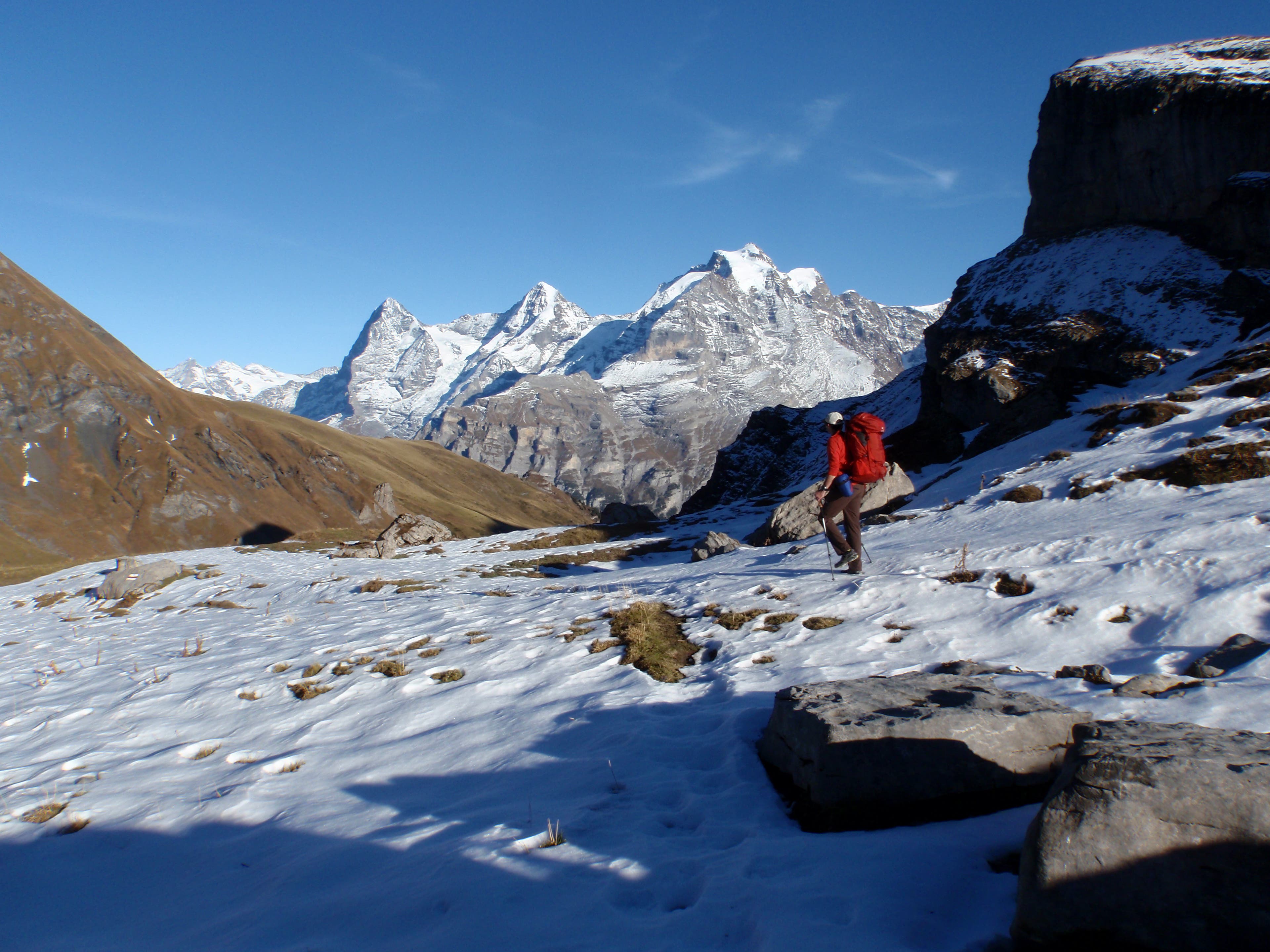
Our first view of the Eiger (peak on the left) as we crest Sefinenfurgge Pass.
VIA080
Location: 46.537226, 7.819777
VIA081
Location: 46.537639, 7.820292
VIA082
Location: 46.537934, 7.820678
VIA083
Location: 46.538466, 7.821396
VIA084
Location: 46.540912, 7.823702
Stay straight. Another route (to Rote Hard) branches off to the left.
VIA085
Location: 46.542156, 7.824841
VIA086
Location: 46.542789, 7.825656
VIA087
Location: 46.545971, 7.832441
VIA088
Location: 46.544761, 7.837134
Rotstockhutte, an alpine hut with 52 bunks is open from June to October.
VIA089
Location: 46.545344, 7.854538
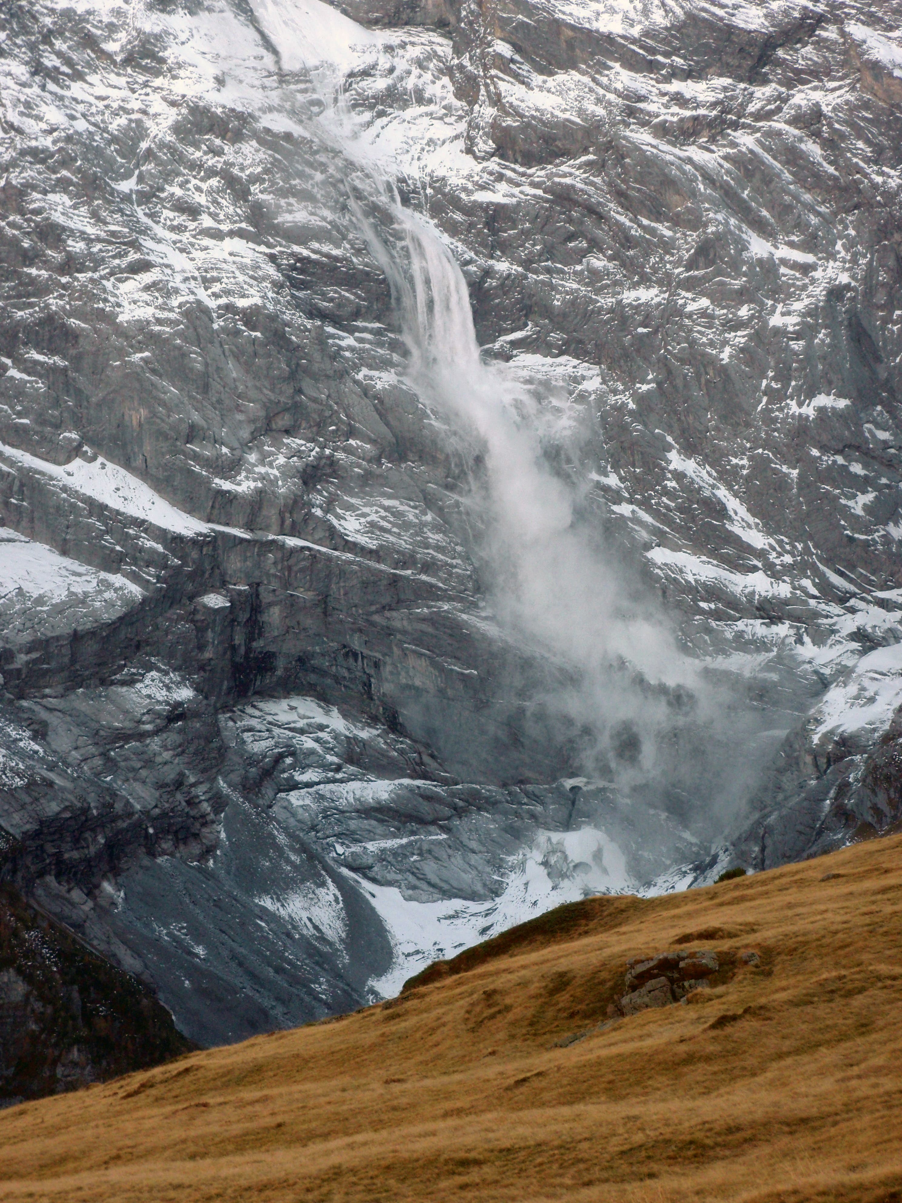
View across Lauterbrunnen Valley. Hanging glaciers often crash down the steep walls.
VIA090
Location: 46.548826, 7.874
Creek crossing. Just past here, look for a trail to the left leading to a small collection of cheesemaker’s huts.
VIA091
Location: 46.551217, 7.881821
VIA092
Location: 46.558329, 7.891295
Muerren-CableCar
VIA093
Location: 46.558329, 7.891595
Village of Murren. Keep hiking to Lauterbrunnen or get a room at the Eiger Hotel.
VIA094
Location: 46.559491, 7.892373
Left turn.
VIA095
Location: 46.565342, 7.897883
View point near train station.
VIA096
Location: 46.598381, 7.907892
Rail station in Lauterbrunnen
VIA097
Location: 46.598395, 7.908064
Camping Jungfrau, a great place for trekkers. There are bunks and a community kitchen. camping-jungfrau.ch
VIA098
Location: 46.575324, 7.937493
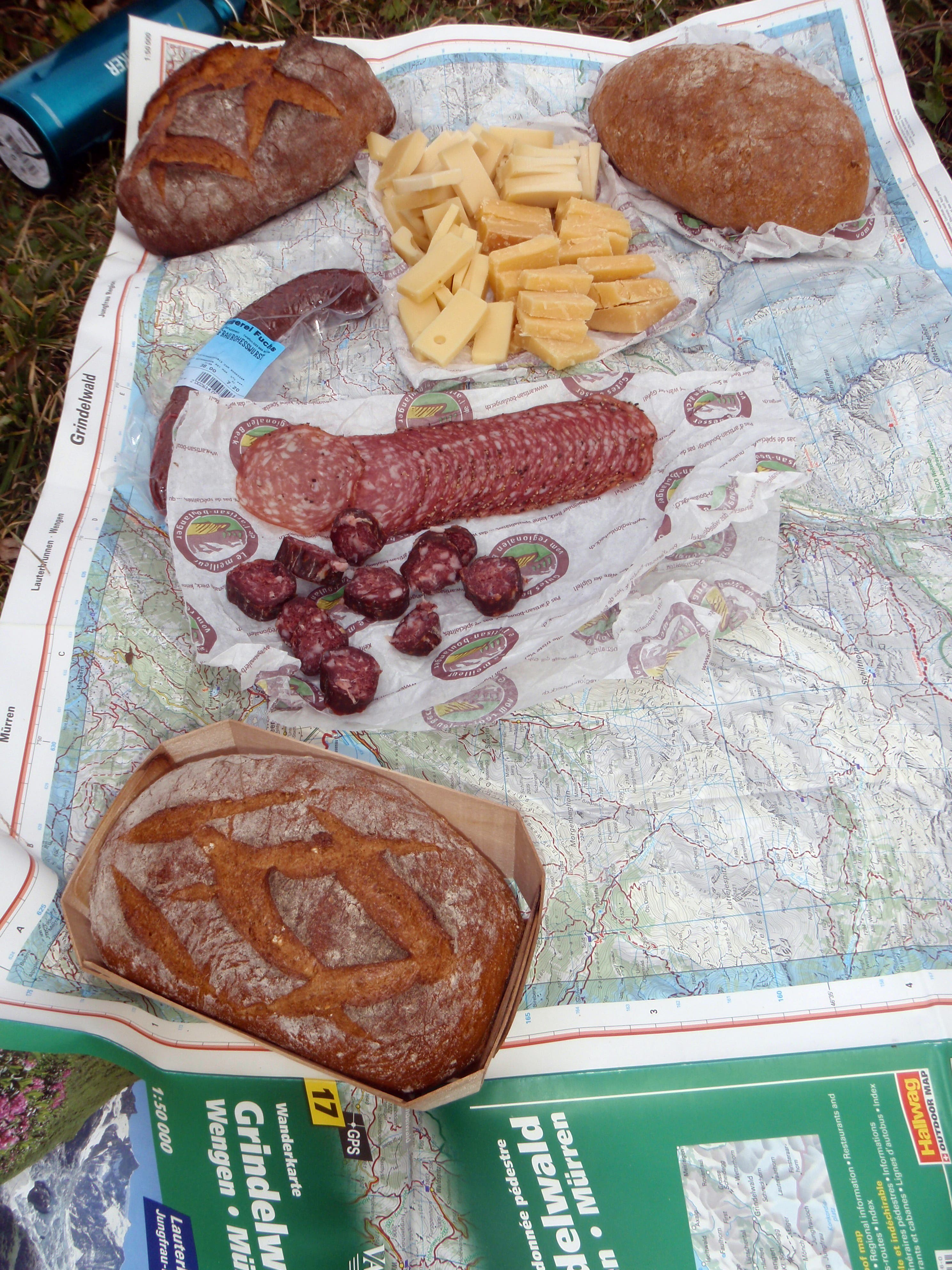
The best lunch break ever, halfway between Lauterbrunnen and Kleine Scheidegg.
VIA099
Location: 46.575589, 7.947621
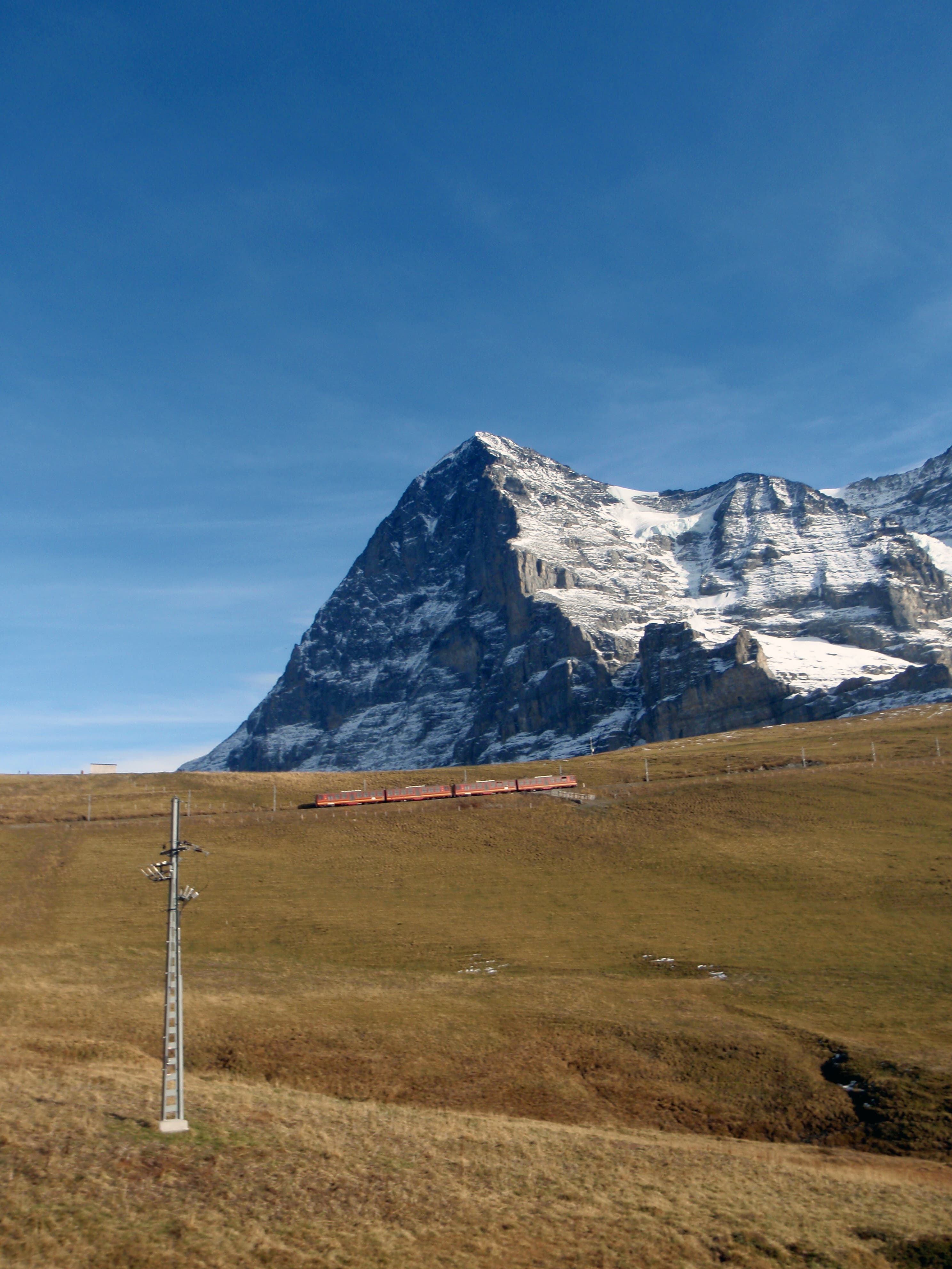
View of the Eiger.
VIA100
Location: 46.584951, 7.961526
Kleine Scheidegg, a beautiful mountain pass at the base of the Eiger. Hop the train here to Jungfraujoch, the highest train station in Europe, or keep hiking to Grindelwald. Or stay awhile–there are restaurants and hotels here too.
VIA101
Location: 46.584947, 7.961601
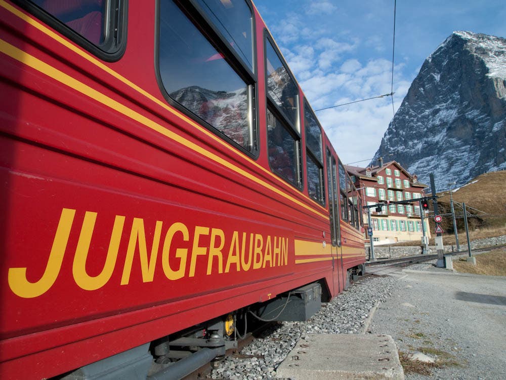
Jungfraubahn
VIA102
Location: 46.548, 7.98749
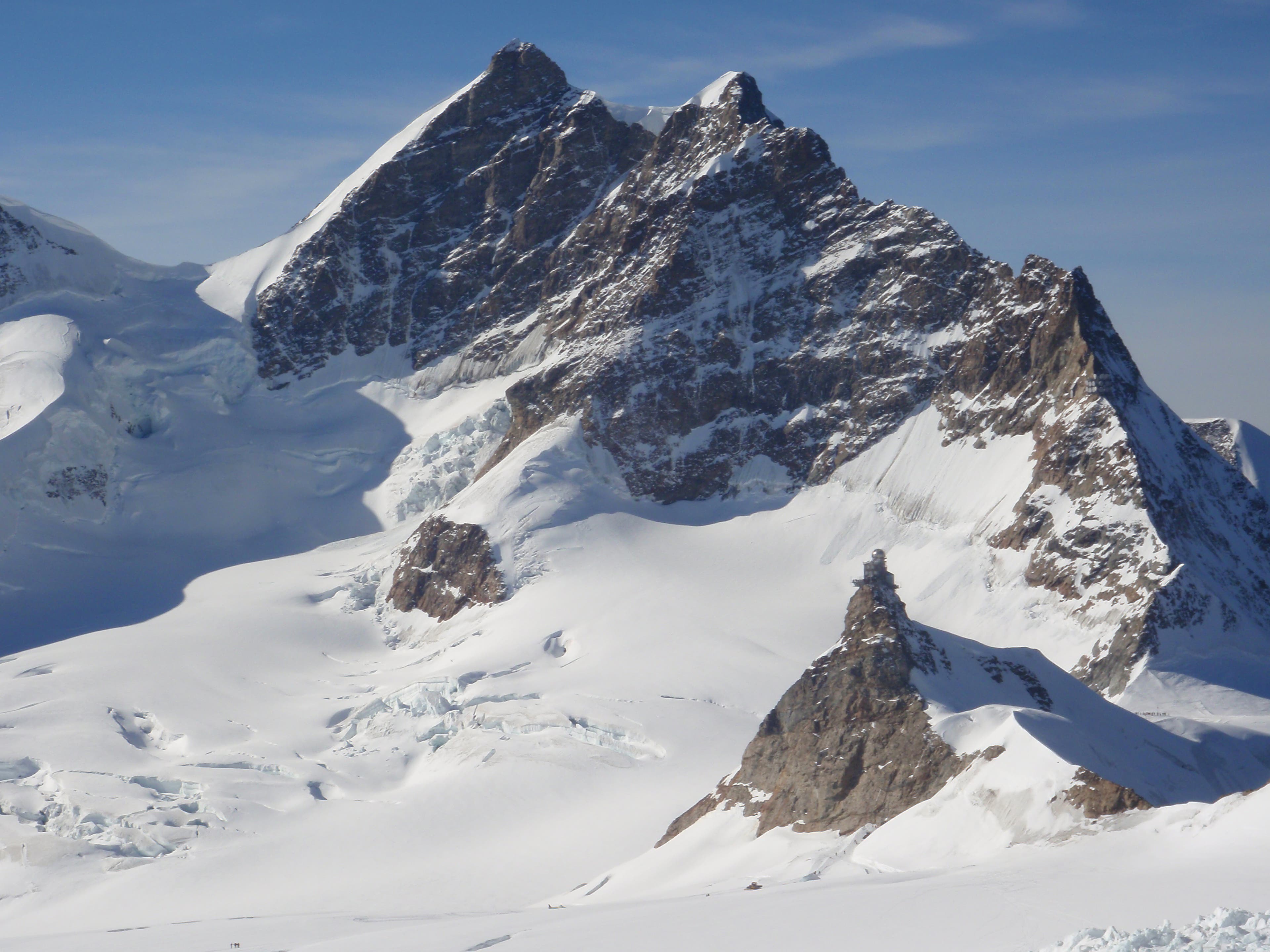
Jungfraujoch, the highest train station in Europe and the Aletsch Glacier
VIA103
Location: 46.548029, 7.98779
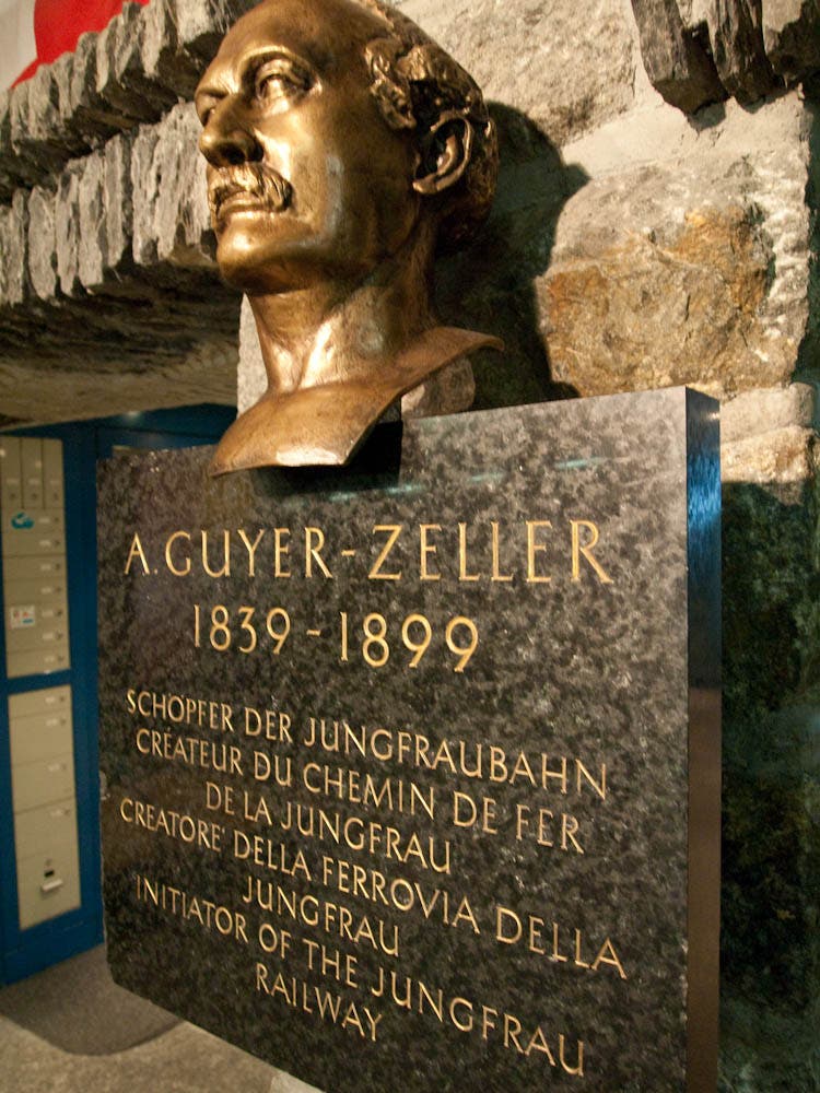
Bust at a rail stop on the Jungfraubahn
VIA104
Location: 46.548974, 7.996159
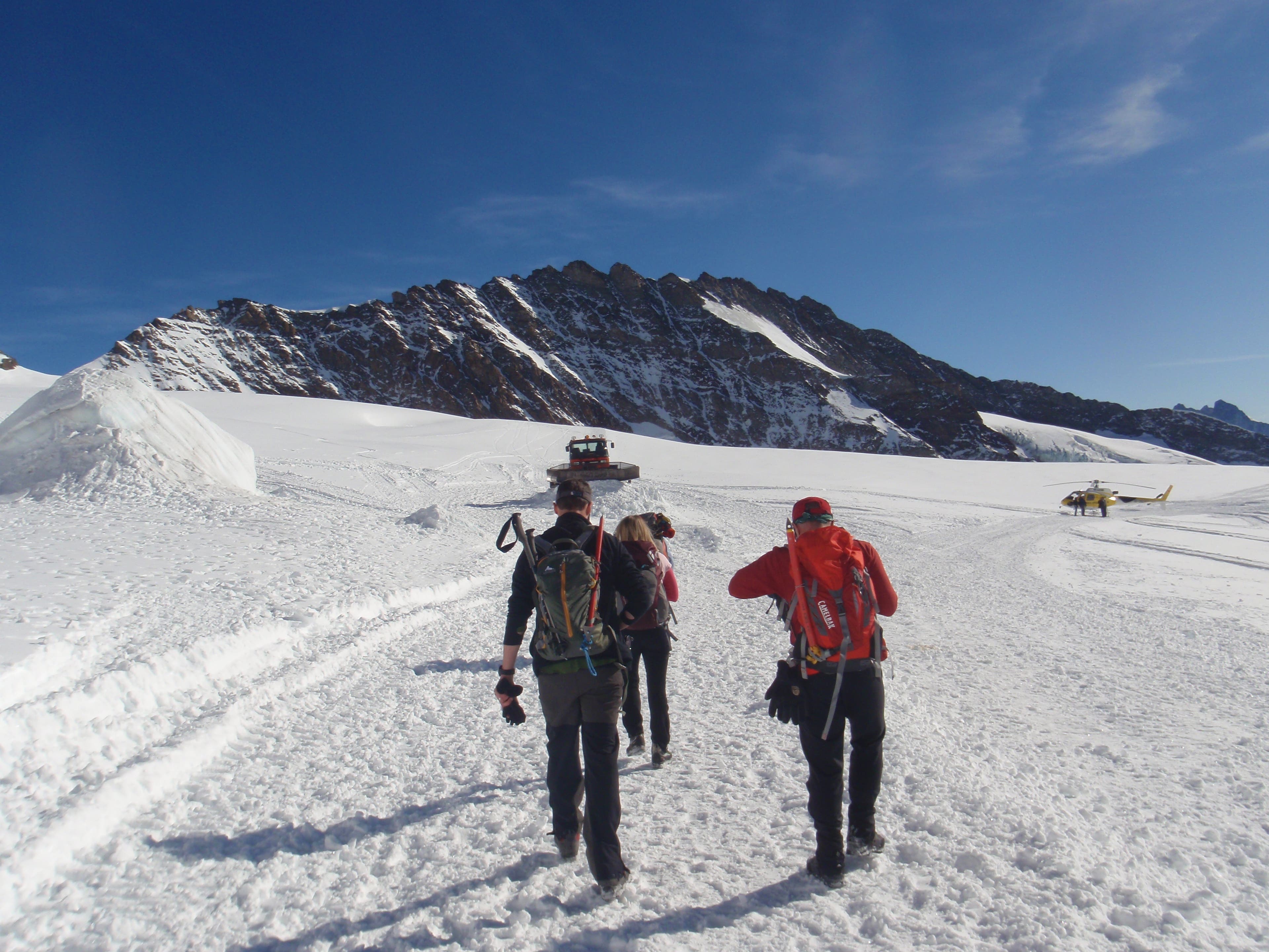
Hiking to the base of the Monch.
VIA105
Location: 46.549149, 7.996404
Hiking from Jungfraujoch to the base of the Monch.
VIA106
Location: 46.549904, 7.997854
Looking back at Jungfraujoch
VIA107
Location: 46.552578, 8.00265
Rope up
VIA108
Location: 46.552589, 8.002939
Roping up to attempt the Southeast Ridge.
VIA109
Location: 46.555157, 8.002617
Shannon Davis kicking steps.
VIA110
Location: 46.555924, 8.001781
Looking back at Jungfraujoch.
VIA111
Location: 46.556942, 8.001008
Southeast ridge of the Monch
VIA112
Location: 46.558034, 7.999249
Summit ridge, The Monch
VIA113
Location: 46.558137, 7.998884
Descending the summit ridge
VIA114
Location: 46.558255, 7.998487
Descending the summit ridge
VIA115
Location: 46.558447, 7.997746
Summit cornice.
VIA116
Location: 46.558506, 7.99751
John Harlin on the summit of the Monch.
VIA117
Location: 46.558528, 7.99736
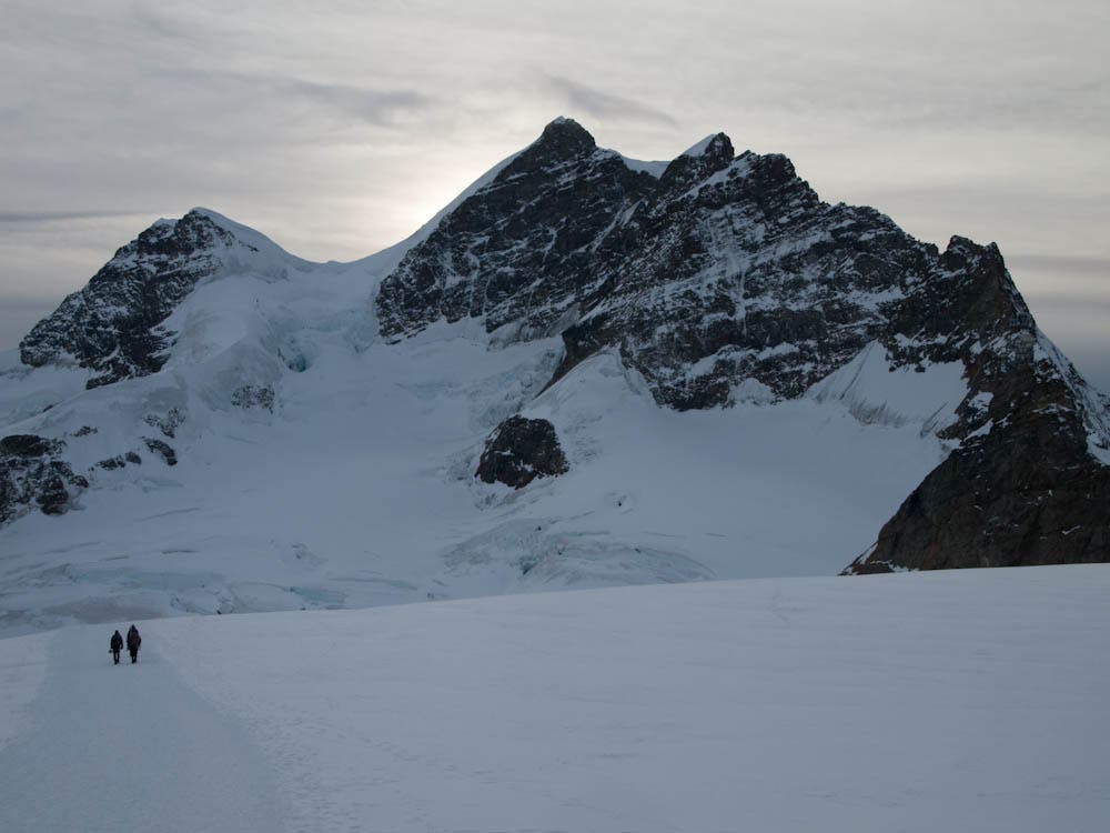
Summit of the 13,474-foot Monch, a peak that lies in between the Eiger and the Jungfrau.
VIA118
Location: 46.584464, 7.962218
Dennis Lewon in front of the Eiger
VIA119
Location: 46.584343, 7.962314
Executive Editor Dennis Lewon with the Eiger behind him.
VIA120
Location: 46.585368, 7.96129
Kleine Scheidegg
VIA121
Location: 46.624169, 8.033924
Rail station in Grindelwald
VIA122
Location: 46.675885, 8.133974
Schwarzwaldal
VIA123
Location: 46.713694, 8.186944
Schwendi1
VIA124
Location: 46.727367, 8.184759
Meiringen Train Station
VIA125
Location: 46.705599, 8.2295
Innertkirchen
VIA126
Location: 46.727356, 8.263454
Near Underbalm, the contours of the Wetterhorn come into glaring clarity as the team moves further into Meiringen. (Jonathan Dorn)
VIA127
Location: 46.755299, 8.305106
Camp
VIA128
Location: 46.754975, 8.305922
Kristin Hostetter tests the Sierra Designs LT Strike 2. The Wetterhorn sets the perfect backdrop. (Anthony Cerretani)
VIA129
Location: 46.755505, 8.305836
VIA130
Location: 46.766853, 8.315191
Snow melts below treeline along the valley route. (Anthony Cerretani)
VIA131
Location: 46.767176, 8.315749
VIA132
Location: 46.774995, 8.327336
Anthony Cerretani works his way towards Meiringen.
VIA133
Location: 46.777441, 8.333431
L off Via Alpina
VIA134
Location: 46.778837, 8.337848
VIA135
Location: 46.775788, 8.344288
Beer
VIA136
Location: 46.775444, 8.344556
Overnight in Engstlenalp
VIA137
Location: 46.775876, 8.36184
VIA138
Location: 46.778361, 8.386778
JochChairTop
VIA139
Location: 46.778695, 8.387759
Joch Pass
VIA140
Location: 46.783194, 8.391366
Kristin Hostetter and Jon Harlin work their way above Trubsee lake. Rigidalstock, and Wissberg mountains can be seen in the distance. (Jonathan Dorn)
VIA141
Location: 46.783484, 8.391575
Anthony Cerretani, Kristin Hostetter, and John Harlin work their way up to Jochpass. In late October, snow started appearing at around 6,000 feet. (Jonathan Dorn)
VIA142
Location: 46.790917, 8.387722
JochChairBase
VIA143
Location: 46.792299, 8.395234
Trubsee lake
VIA144
Location: 46.792803, 8.395185
Gear Editor Kristin Hostetter takes in the sites from the Trubsee lake as the team gets ready for the push up to Jochpass. (Anthony Cerretani)
VIA145
Location: 46.793006, 8.395911
A view of Trubsee lake. (Jonathan Dorn)
VIA146
Location: 46.793625, 8.398876
Engelberg-GondolaTop
VIA147
Location: 46.807756, 8.40055
The Gasthaus Gerschnailp in Engelberg. The team awoke to the sound of cowbells echoing through mountains at 4,139 feet. (Anthony Cerretani)
VIA148
Location: 46.812778, 8.392696
Expensive gondola
VIA149
Location: 46.816083, 8.396361
Engelberg-GondolaBase
VIA150
Location: 46.819416, 8.403082
Rail station in Engelberg
VIA151
Location: 46.83544, 8.546015
VIA152
Location: 46.836354, 8.545636
VIA153
Location: 46.836413, 8.545593
From left, John Harlin, Kristin Hostter and Anthony Cerretani recharge for the descent down the south side of Surenenpass. (Jonathan Dorn)
VIA154
Location: 46.836512, 8.545549
Pass (Jon’s Photo)
VIA155
Location: 46.836512, 8.545625
VIA156
Location: 46.836908, 8.546215
As the sun begins to set, John Harlin takes in the view from the south side of Surenenpass at 7516 feet. (Jonathan Dorn)
VIA157
Location: 46.837011, 8.547782
Anthony Cerretani postholes his way towards Surenenpass. (Jonathan Dorn)
VIA158
Location: 46.838163, 8.553221
VIA159
Location: 46.838369, 8.553736
VIA160
Location: 46.842713, 8.561332
John Harlin pushes towards snowy, postholing ground. (Jonathan Dorn)
VIA161
Location: 46.843726, 8.569229
VIA162
Location: 46.843744, 8.569508
VIA163
Location: 46.843976, 8.577488
Angistock peak, on the way to Surenenpass. In late October, snow started appearing at just about 6,000 feet. (Jonathan Dorn)
VIA164
Location: 46.844064, 8.578163
Snow starts appearing more frequently along the path to Surenpass. Angistock peak looms in the background.
VIA165
Location: 46.844115, 8.578354
John Harlin and Kristin Hostetter on the trail to Surenpass.
VIA166
Location: 46.845304, 8.585739
Gear Editor Kristin Hostetter and Contributing Editor John Harlin.
VIA167
Location: 46.843802, 8.591781
Backpacker.com editor Anthony Cerretani works his way up the trail.
VIA168
Location: 46.843513, 8.593733
Snowy, rocky peaks line the horizon.
VIA169
Location: 46.843433, 8.594002
Anthony Cerretani takes in the view on a set of natural steps on the route.
VIA170
Location: 46.843249, 8.598009
John Harlin makes time. Oberalpstock and Piz Tgieschen peaks can be seen to the southeast. (Jonathan Dorn)
VIA171
Location: 46.843231, 8.5981
Backpacker editor John Harlin leads the way.
VIA172
Location: 46.843356, 8.598449
Backpacker editor John Harlin leads the way.
VIA173
Location: 46.843356, 8.599065
A view of the Angistock peak hovering at over 9,000 feet. (Jonathan Dorn)
VIA174
Location: 46.843689, 8.60207
Backpacker editors Kristin Hostetter and John Harlin make their way up the trail. Angistock peak hovers in the background.
VIA175
Location: 46.84327, 8.605906
Backpackerc.com Editor Anthony Cerretani gets moving. (Jonathan Dorn)
VIA176
Location: 46.843168, 8.606415
At the trailhead in Grat. Time to head up to snowy 7516-foot Surenenpass. (Anthony Cerretani)
VIA177
Location: 46.843117, 8.606662
At the trailhead in Grat. Time to head up to snowy 7516-foot Surenenpass. (Anthony Cerretani)
VIA178
Location: 46.842961, 8.60693
Top of bahn (Jon’s Photo)
VIA179
Location: 46.842956, 8.607005
At the trailhead in Grat. Time to head up to snowy 7516-foot Surenenpass. (Anthony Cerretani)
VIA180
Location: 46.845986, 8.616414
A view of the town of Altdorf from the seat of a Gondola. It would rise some 3,000-plus feet. (Jonathan Dorn)
VIA181
Location: 46.847102, 8.617358
A view of the town of Altdorf from the seat of a Gondola. It would rise some 3,000-plus feet. (Jonathan Dorn)
VIA182
Location: 46.848393, 8.618388
A view of the town of Altdorf from the seat of a Gondola. It would rise some 3,000-plus feet. (Jonathan Dorn)
VIA183
Location: 46.856967, 8.622607
The team jumps a gondola near Attinghausen and heads to the trailhead. (Jonathan Dorn)
VIA184
Location: 46.861453, 8.62916
Attinghausen bus stop
VIA185
Location: 46.875716, 8.631772
Altdorf Train Station
VIA186
Location: 46.875741, 8.631831
Altdorf Train Station
VIA187
Location: 46.875686, 8.631842
A view from the Altdorf Train Station. (Jonathan Dorn)