Zion National Park: Lower Emerald Pool

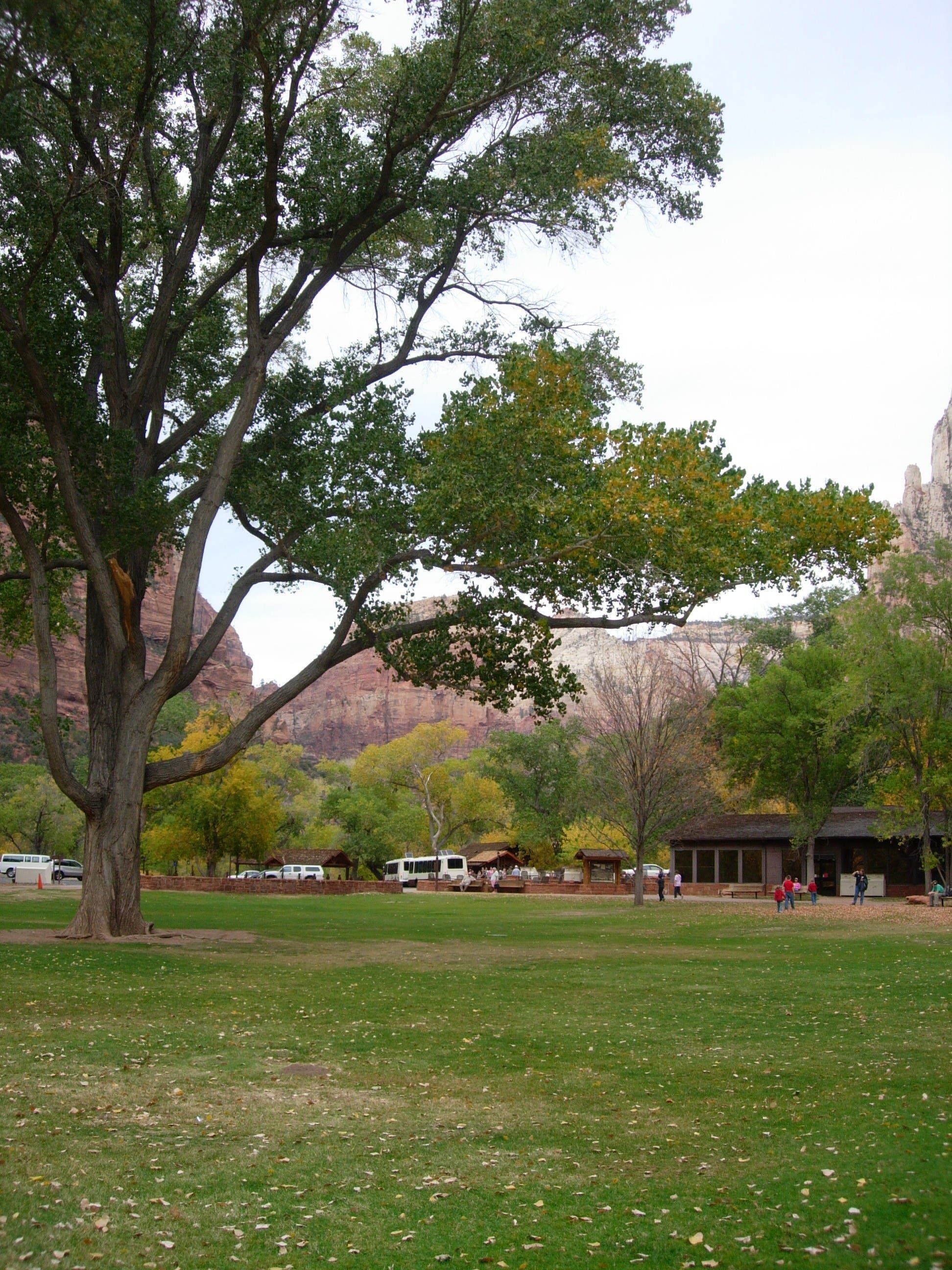
This easy hike to the Lower Emerald Pool begins at the Zion Lodge shuttle stop and rounds the northern edge of a giant lawn before crossing the park road toward the official trailhead. Stop to orient yourself at the map kiosk before hoofing it over the Virgin River’s footbridge and beginning the gradual 0.6-mile northbound climb to the Lower Emerald Pool.
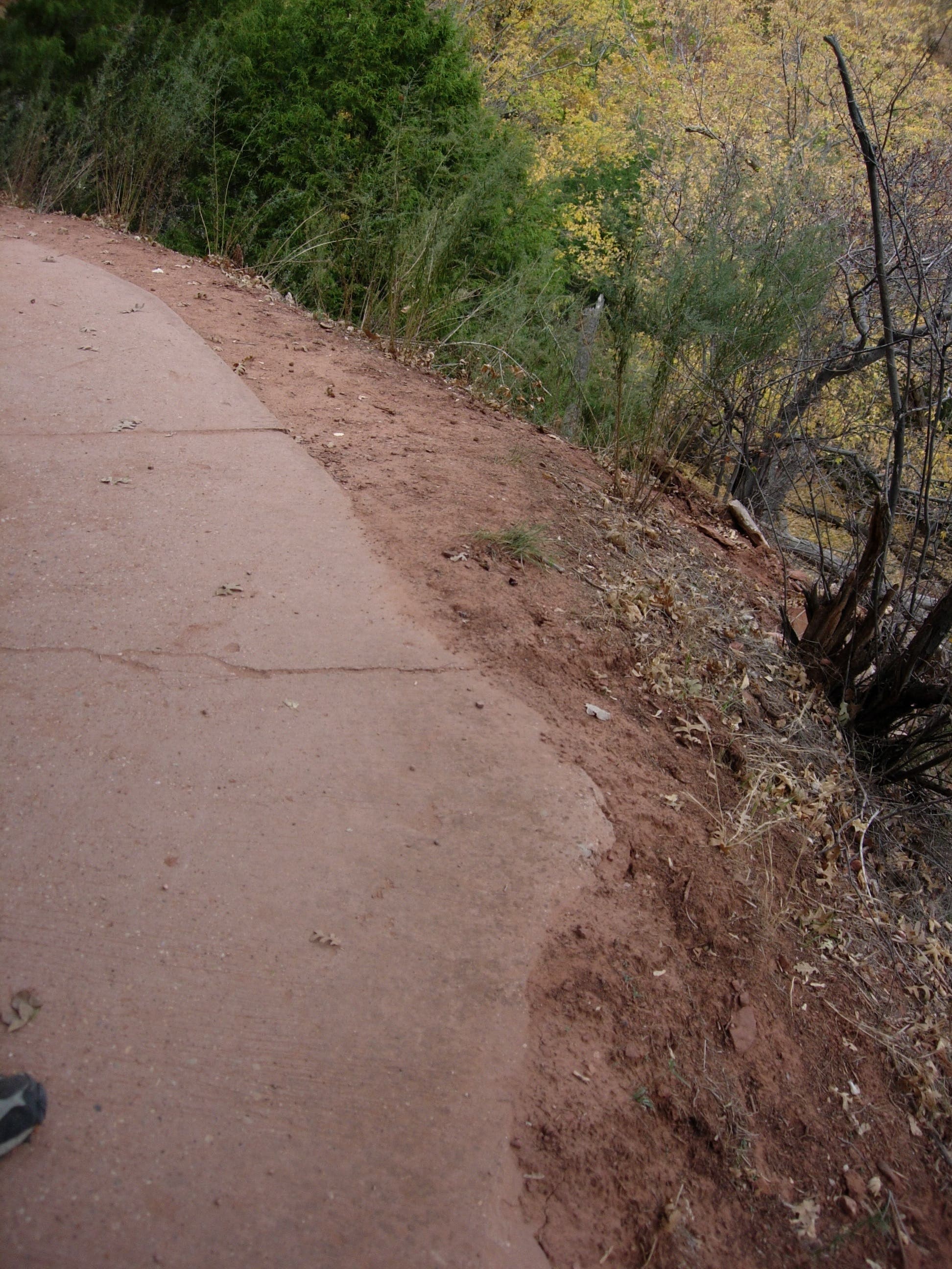
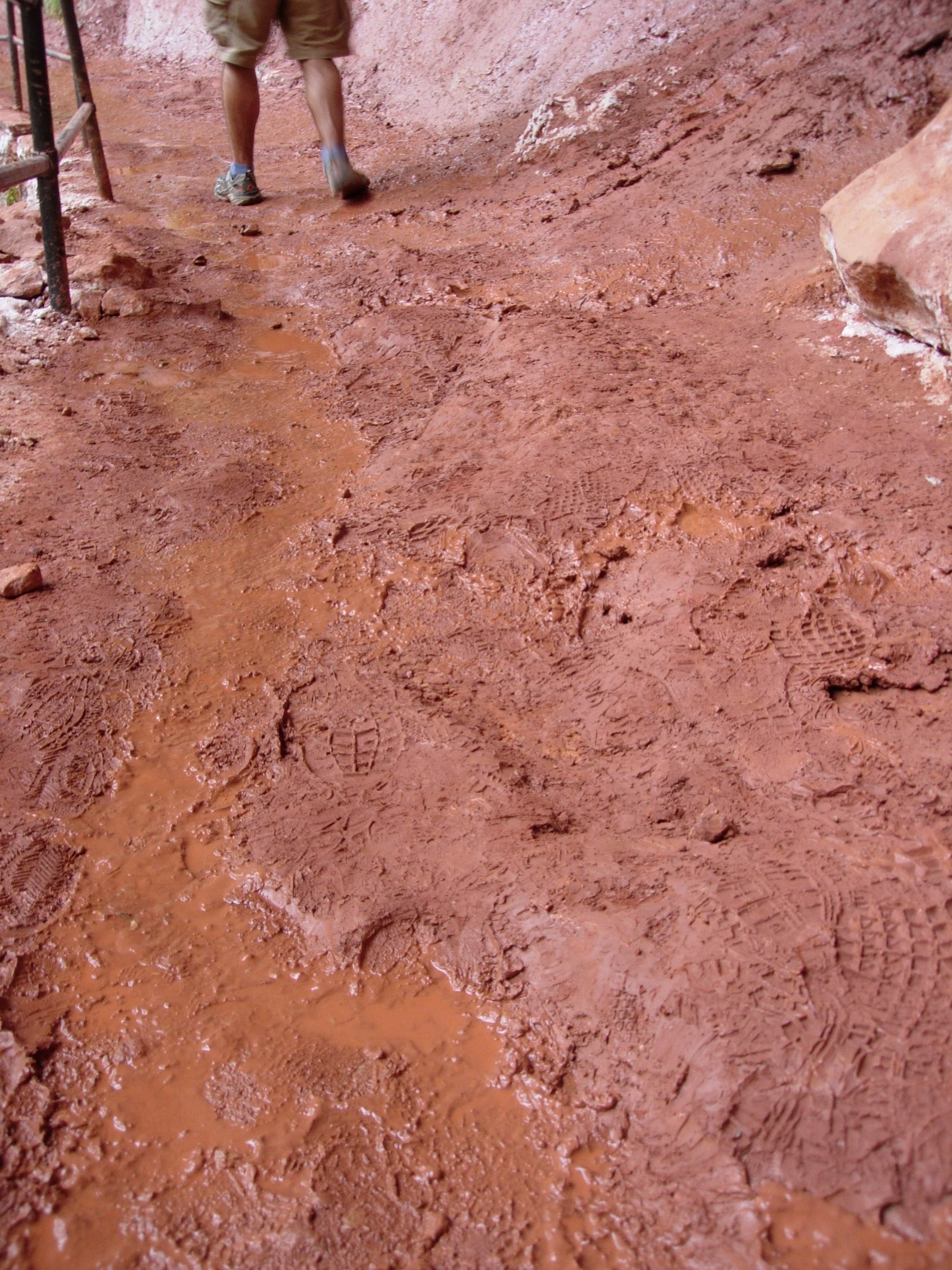
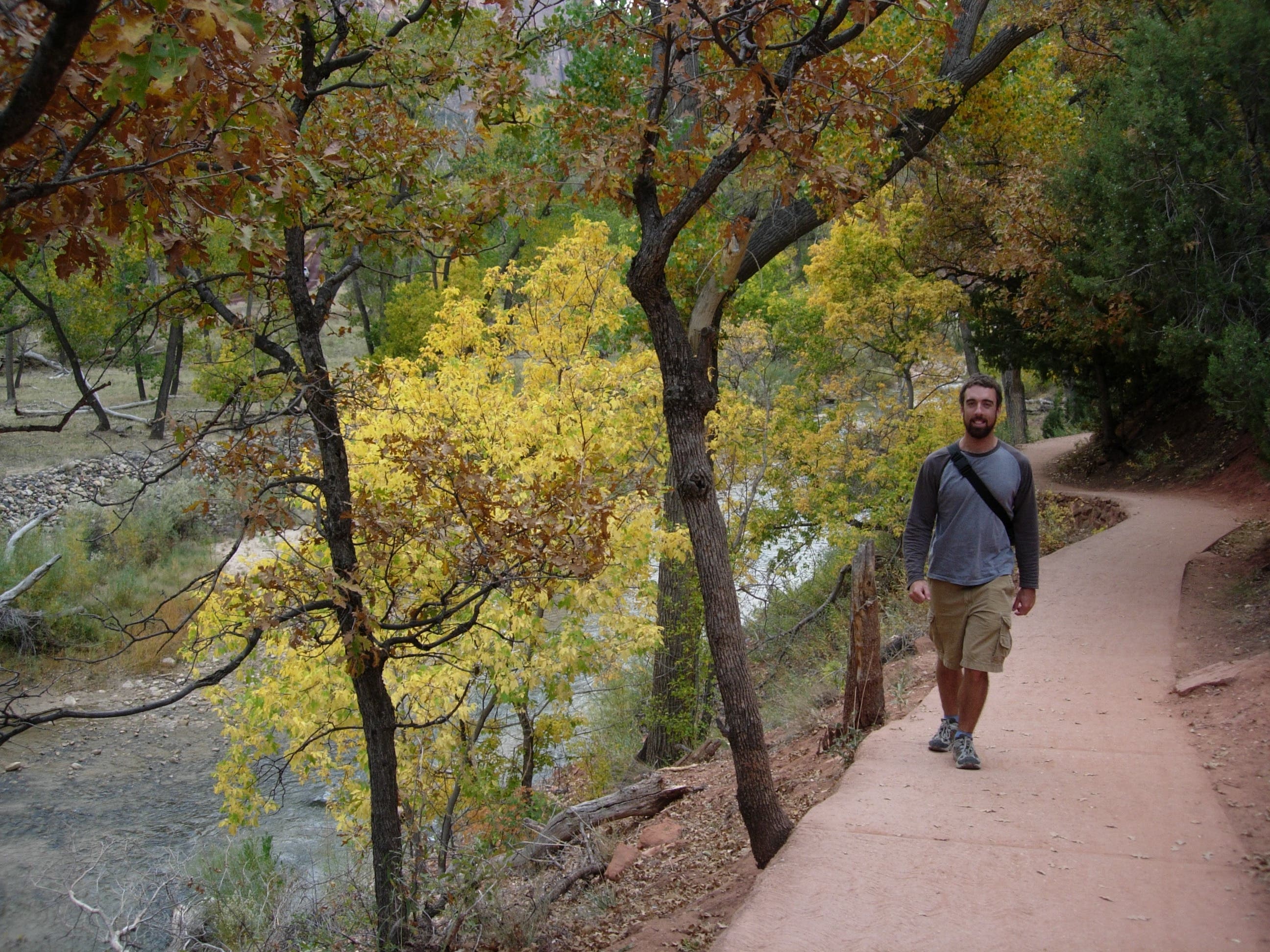
The paved trail skirts the river for 300 yards and turns sharply left, continuing under the maple and shrub-shaded canopy. Keep your eyes on the trail as you climb: there are several sections where hillside erosion has left an abrupt edge hanging several feet above the ground. This out-and-back ends at an overlook of the algae-tinted lower pool and a towering 100-foot overhanging waterfall that drips—and sometimes rages—over the trail. Use the handrails to explore the muddy, trailside oasis before turning back toward the lodge. If you have the time and energy, consider continuing to the middle and upper pools and completing the entire 2.6-mile loop trail.
-Mapped by Kristy Holland
Trail Facts
- Distance: 2.5
Waypoints
LEP001
Location: 37.251903, -112.956018
This hike begins at the Zion Lodge shuttle stop. Turn right off the bus, stop to fill water bottles and use the toilets if necessary, and head west along the edge of the giant lawn.
LEP002
Location: 37.251058, -112.957939
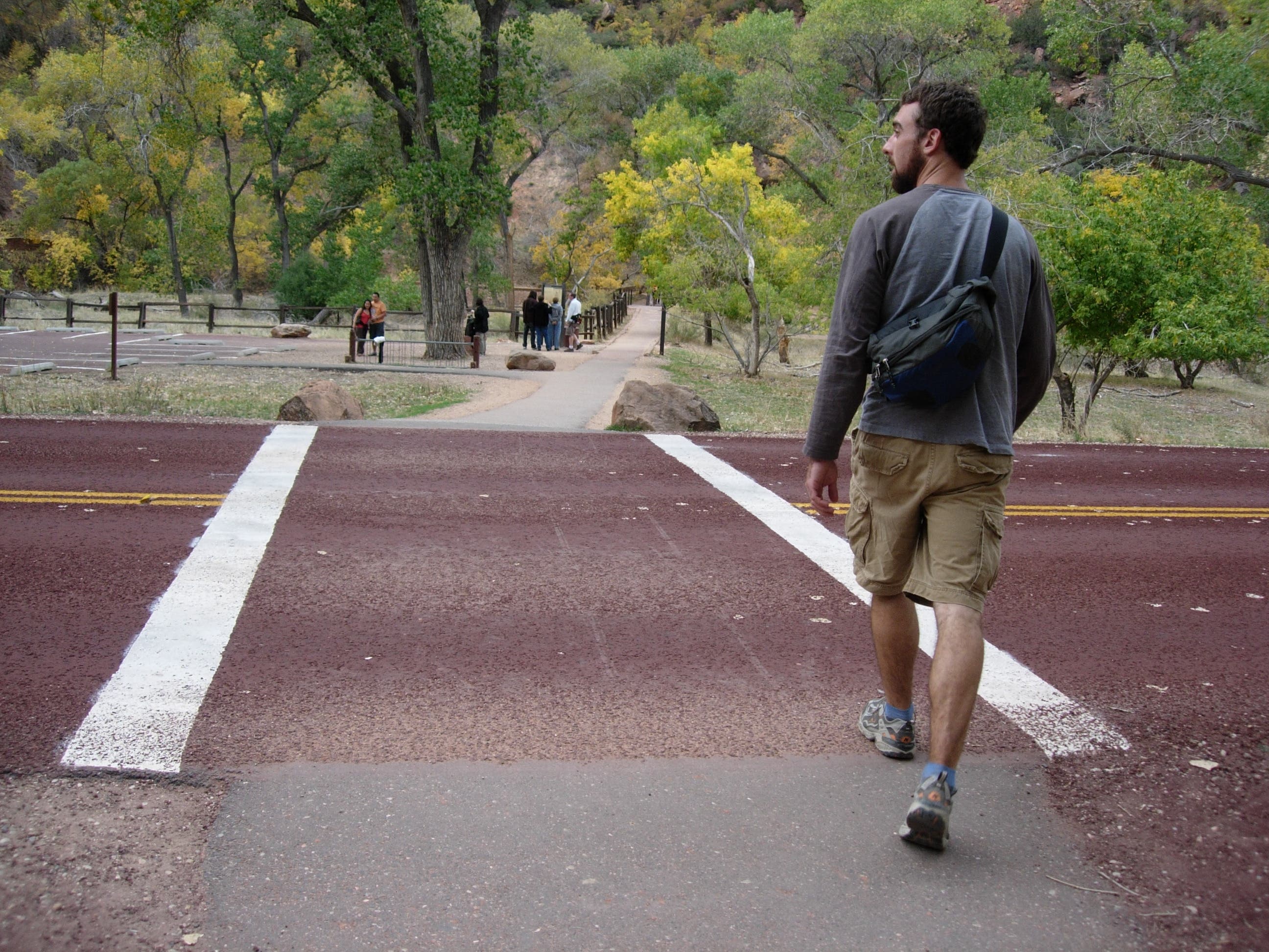
Though traffic on the park road is generally light, watch for cyclists, shuttle buses, and even wildlife on the road as you cross to reach the Emerald Pools Trailhead.
LEP003
Location: 37.251068, -112.95903
This bridge spans the Virgin River and marks the beginning of the loop trail that leads to all three of the Emerald Pools. This mapped route turns right on the bridge’s west side and proceeds to the nearest of the three seep- and spring-fed pools.
LEP004
Location: 37.253475, -112.95795
As the paved trail turns away from the river, it continues the gentle climb. Watch your footing as the trail’s right side drops downhill (very abruptly in some places).
LEP005
Location: 37.256855, -112.962575
An interpretive display explains the natural history of the pools and offers an overlook toward the green, murky water 40 feet below the trail.
LEP006
Location: 37.257412, -112.962617
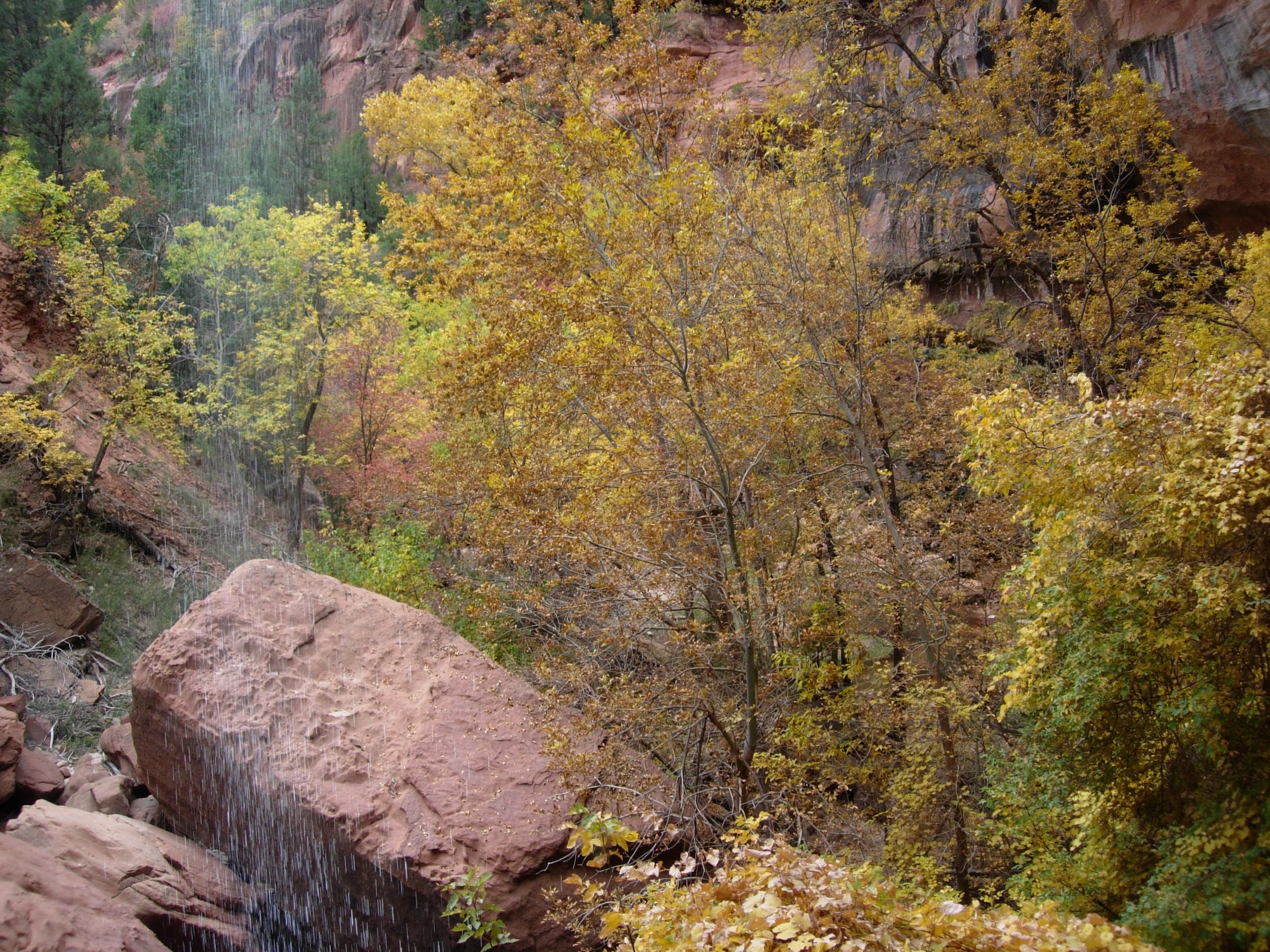
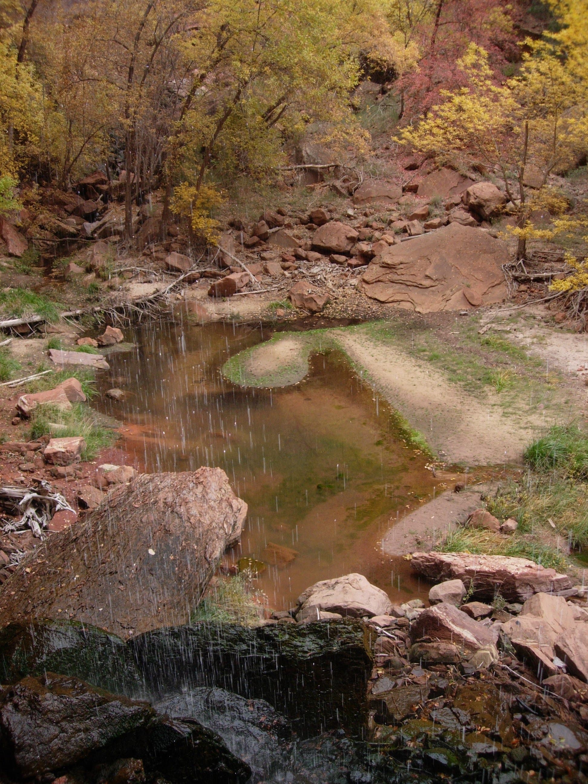
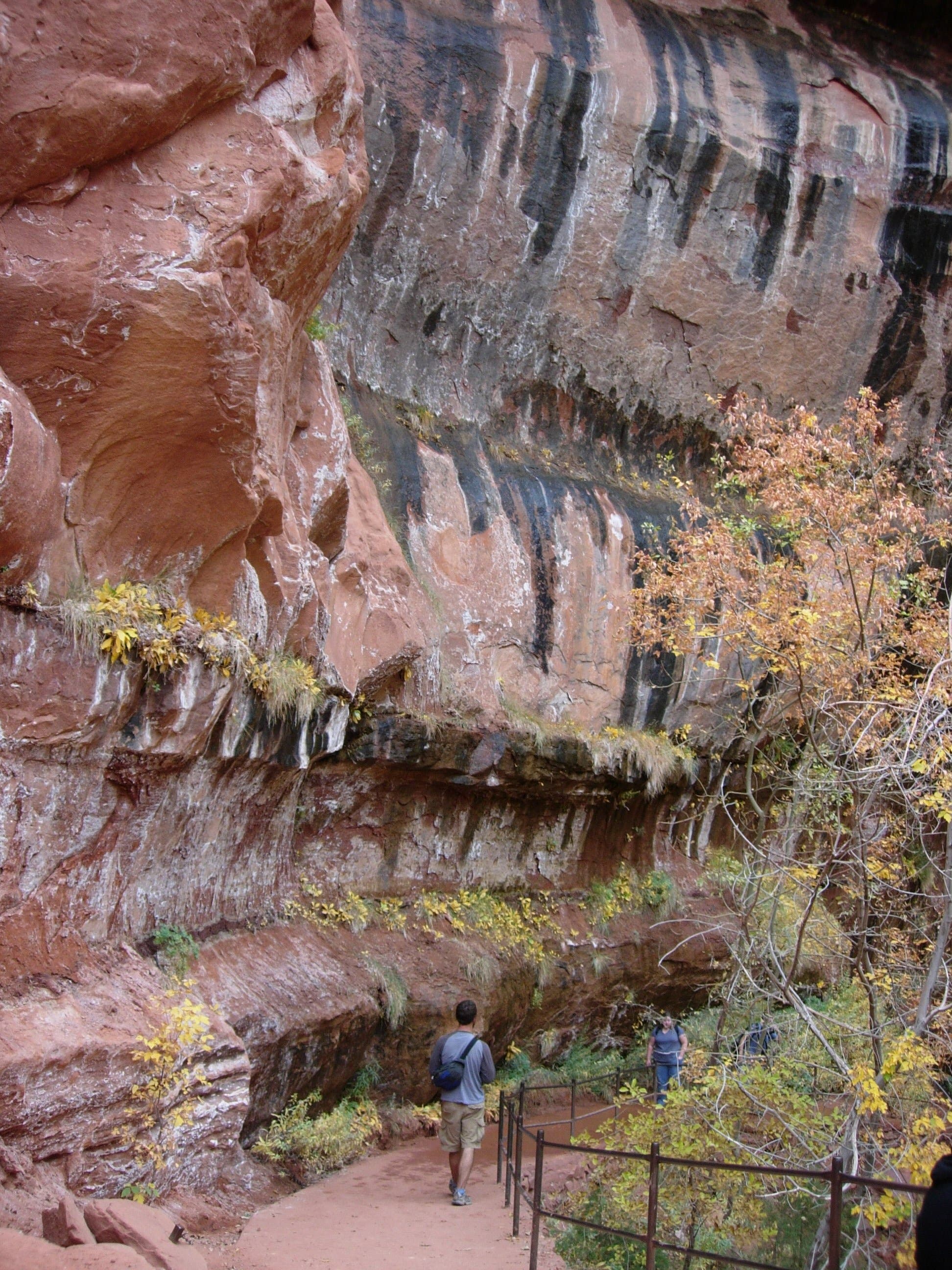
Above the pool, a 100-foot waterfall drips year-round toward the lower pool, but after heavy rains or during spring runoff, there is a thundering cascade. From this turnaround point, the trail continues north toward the Middle and Upper Emerald Pools (0.3 and 0.6 mile further up the trail).
LEP007
Location: 37.251451, -112.955825
The Zion Lodge has restroom facilities, a cafe, restaurant, and lodging for park visitors. It’s a great place to stop and rest before tackling other Zion dayhikes.
Drip Fall
Location: 37.257369, -112.962874
Looking east and south toward the trail’s beginning from underneath the dripping fall. © Kristy Holland
Trail Sign
Location: 37.251681, -112.956512
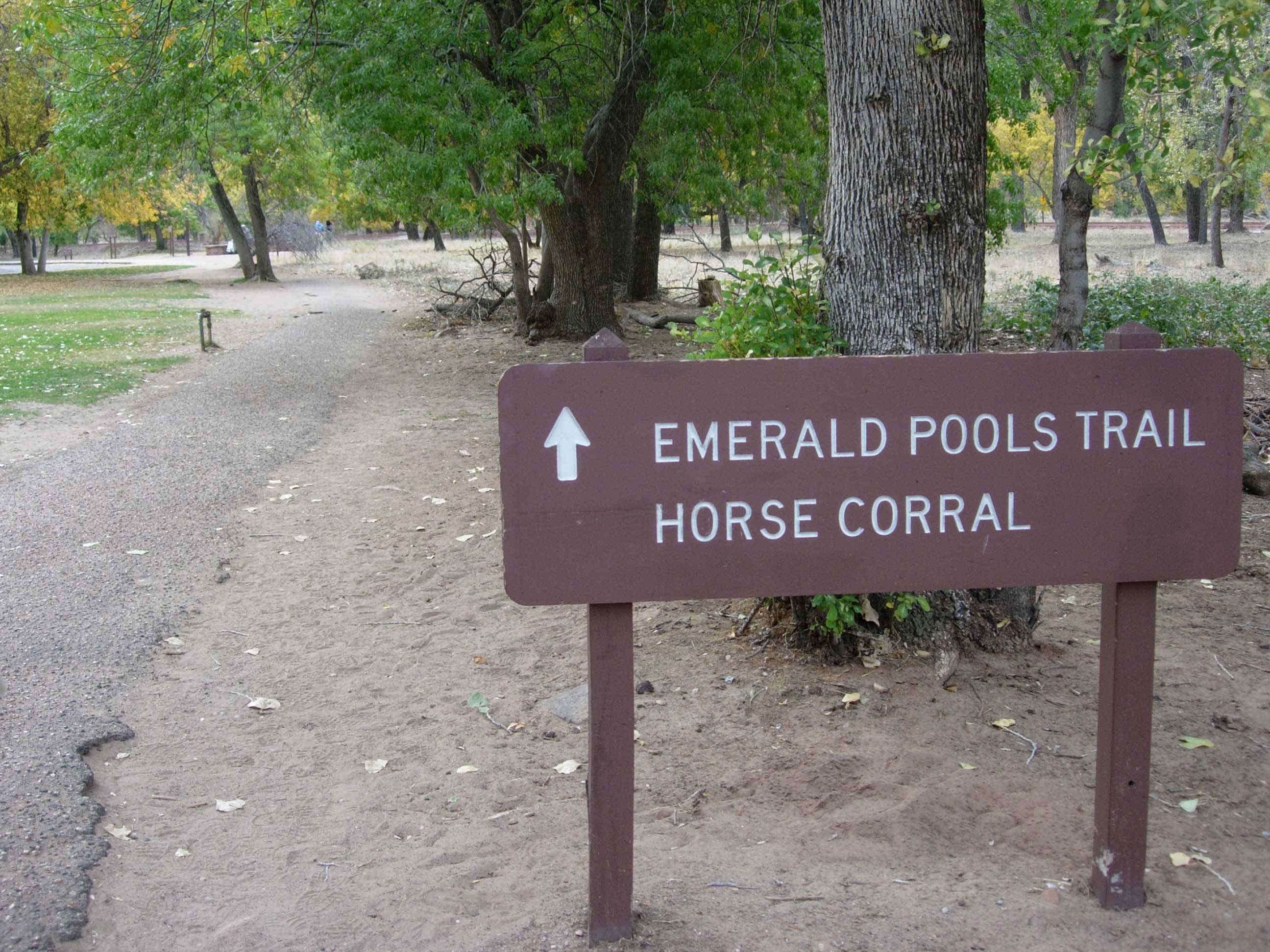
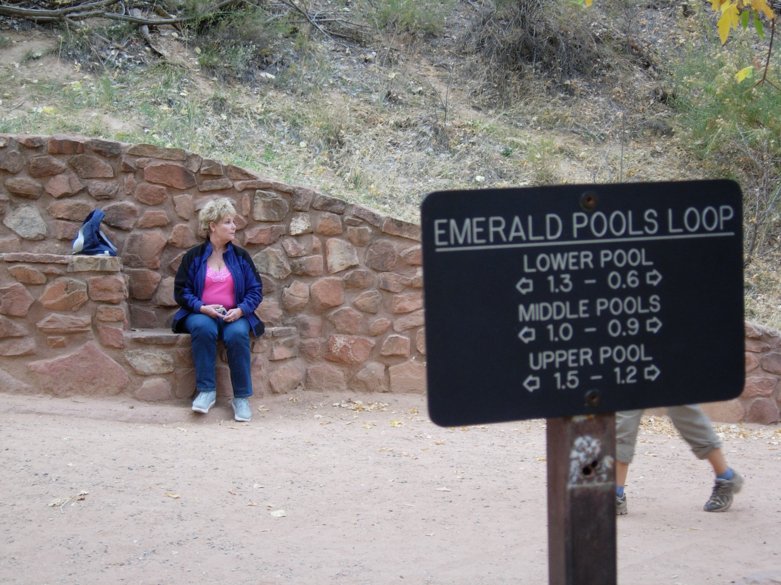
To reach the trail to the Emerald Pools, follow the signed sidewalk back toward the park road. © Kristy Holland
Road Crossing
Location: 37.251049, -112.957832
Emerald Pools crosswalk just west of the Zion Lodge. © Kristy Holland
Bridge
Location: 37.251032, -112.95884
This bridge connects the Emerald Pools loop with the trailhead, on opposite sides of the Virgin River. © Kristy Holland
Edges
Location: 37.254636, -112.959269
The edges of this paved trail drop sharply downhill. Watch your step as you wind along the shaded trail. © Kristy Holland
Mud
Location: 37.257283, -112.962831
Use handrails to navigate the muddy trail beneath the dripping overhang. © Kristy Holland
Lower Emerald Pool
Location: 37.257181, -112.962745
This spring- and seep-fed pool is the lowest and most accessible of the three. © Kristy Holland
Lawn
Location: 37.251084, -112.956501
This giant lawn in front of the Zion Lodge is a good spot to relax and recover after the hike. © Kristy Holland
Riverside
Location: 37.252638, -112.958389
The gentle incline above the Virgin River. © Kristy Holland
Junction
Location: 37.251169, -112.959162
This mapped route follows the 0.6-mile trail north toward the Lower Emerald Pool. © Kristy Holland
Overhang
Location: 37.257147, -112.962724
The softer, lower layers of this sandstone cliff eroded first and created an overhang and waterfall above the lower pool. © Kristy Holland