Yellowstone National Park: Ribbon Lake via Clear Lake

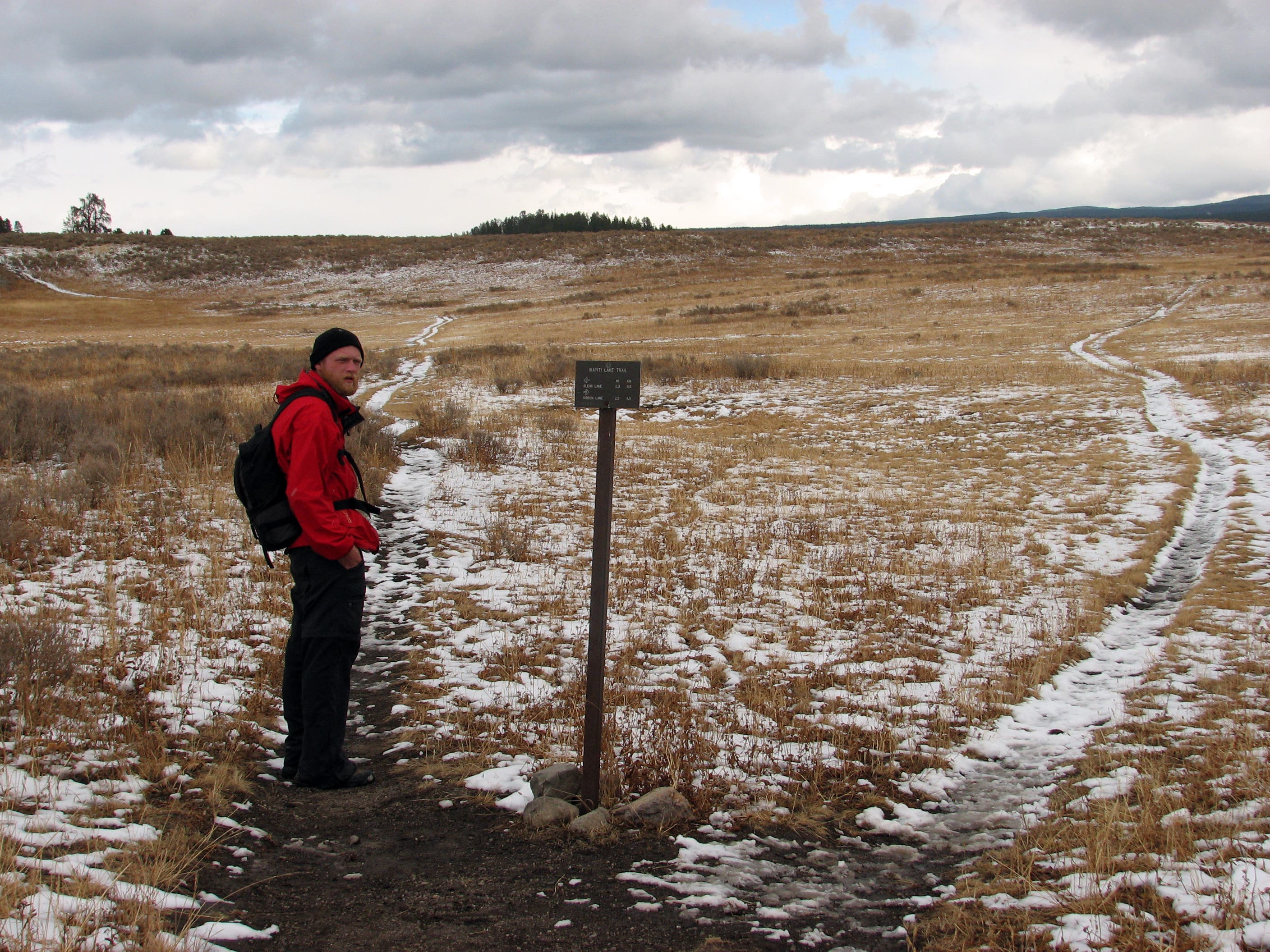
Perfect for an easy overnighter, this 6.7-mile loop near the Grand Canyon of the Yellowstone connects two small lakes, a series of thermal features, and a dramatic waterfall. From the Wapiti Lake Trailhead, hike east across an expansive plain and take a left at the first junction to start the clockwise loop.
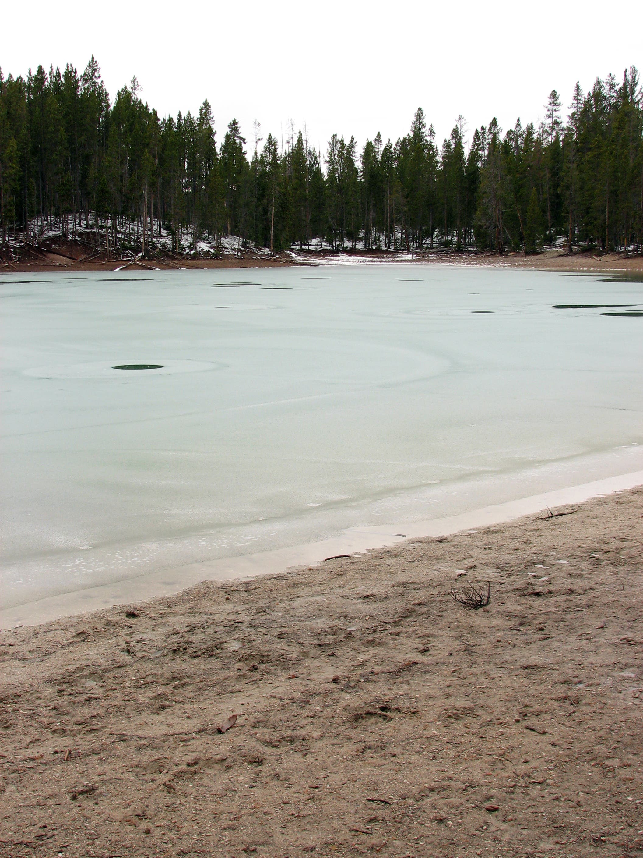
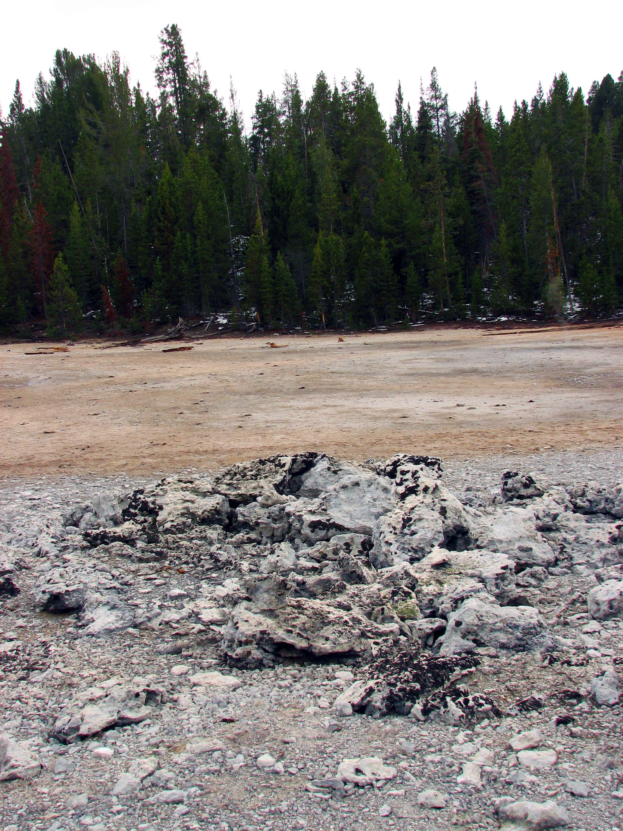
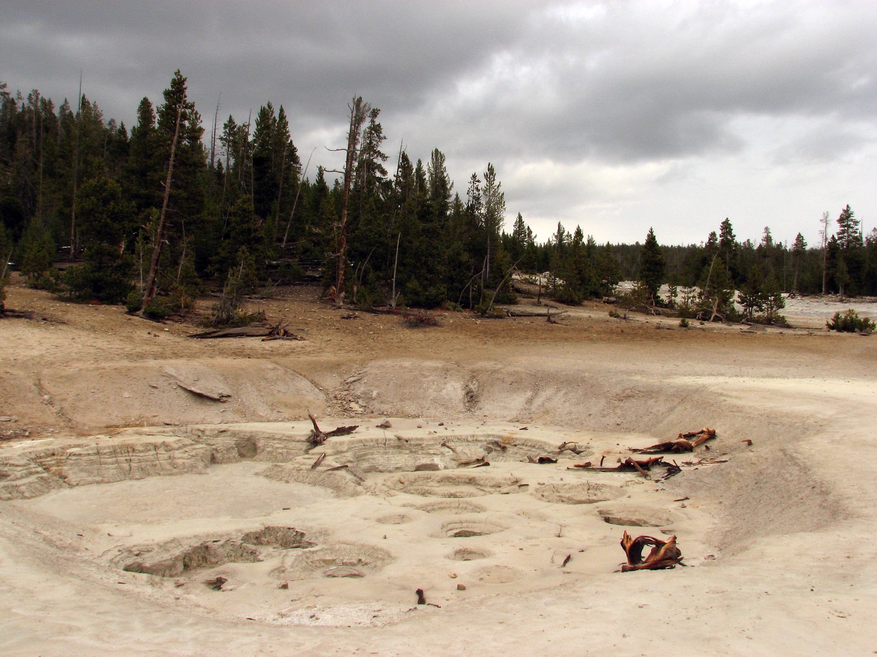
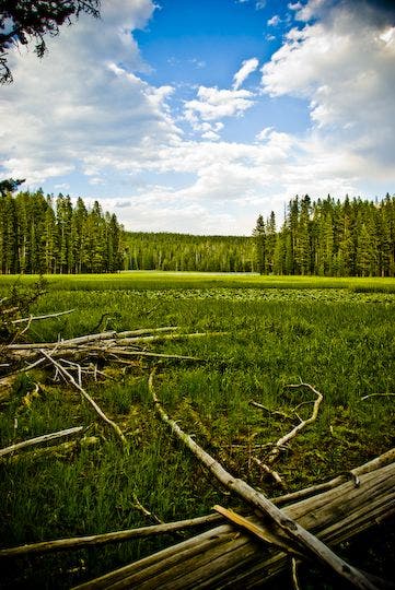
A mile into the hike, the path skirts the southern edge of Clear Lake. Soon afterwards, the smell of rotten eggs marks your arrival at several thermal features that flank the trail. Hike through a moonscape of craggy rocks, gurgling mudpots, and steaming fumaroles and continue northeast.
At mile 2.9, the route passes Ribbon Lake—two small lakes linked by a channel—and turns right at a T-junction. To add a worthy side trip, hikers can turn left at this junction to visit Silver Cord Cascade, a striking waterfall that plummets 1,200 feet into the Grand Canyon of the Yellowstone.
After passing Ribbon Lake, the route crosses two small streams, then rounds to the southwest through thick forest. Top off the hike by cruising through open plains dotted with more thermal features. At mile 6.2, close the loop at Waypoint 2, and turn left for the half-mile stretch to the trailhead.
PERMIT: Overnight camping in Yellowstone National Park requires a backcountry permit. Check out the latest fees and more details at nps.gov/yell/planyourvisit/backcountryhiking.htm.
MORE PARK INFO: Yellowstone National Park, (307) 344-7381; nps.gov/yell/.
-Mapped by Jeff Chow
Trail Facts
- Distance: 10.8
Waypoints
RIB001
Location: 44.7077443, -110.5003247
From the Wapiti Lake Trailhead, the trail climbs gently to the east toward the first trail junction.
RIB002
Location: 44.709228, -110.490675
Veer left at Y-junction to start the clockwise loop. Ahead: The trail continues to wind through open plains.
RIB003
Location: 44.7123421, -110.4828501
Continue straight @ 3-way junction; the trail to Upper Falls enters on the left. Ahead: The trail winds through open forest as it nears Clear Lake.
RIB004
Location: 44.713966, -110.4772711
A moonscape of craggy rocks, gurgling mudpots, and steaming fumaroles appears in the open areas near the trail.
RIB005
Location: 44.7157425, -110.4719388
Two active mud pots (15 feet in diameter) sit amid the yellow, sulfur-stained landscape.
RIB006
Location: 44.7167488, -110.4703188
Bear right at Y-junction and continue on the Clear Lake-Ribbon Lake Loop.
RIB007
Location: 44.719338, -110.458412
Hike past an old-growth lodgepole pine with peculiar mid-trunk shoots.
RIB008
Location: 44.7240406, -110.4515165
Turn right at the T-junction to continue on the loop. Optional: Turn left at T-junction to see the Silver Cord Cascade. This striking waterfall plummets 1,200 feet into the Grand Canyon of the Yellowstone and is thought to be the tallest waterfall in Wyoming. Campers: Spend the night at the nearby campsites (4R1 and 4R2).
RIB009
Location: 44.7201585, -110.4511115
Cross a small stream.
RIB010
Location: 44.7204386, -110.4465276
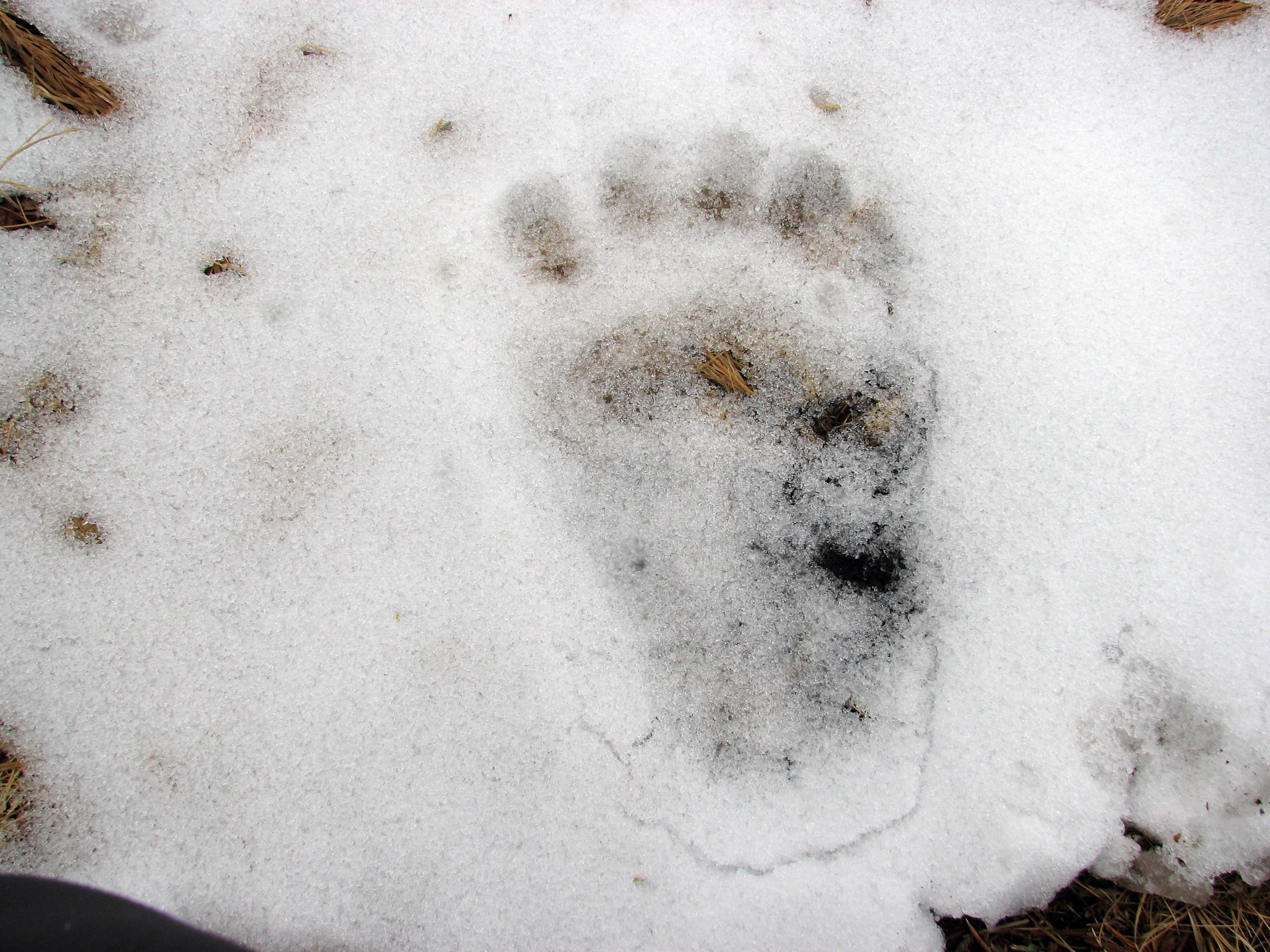
Pass another winding stream before heading back into the thick woods. Wolf prints are a common sight along the trail.
RIB011
Location: 44.7190264, -110.446592
Pass a small pond on the right side of the trail.
RIB012
Location: 44.7173663, -110.4484159
At the T-junction with Wapiti Lake Trail, turn right to continue the loop.
RIB013
Location: 44.7093075, -110.4604161
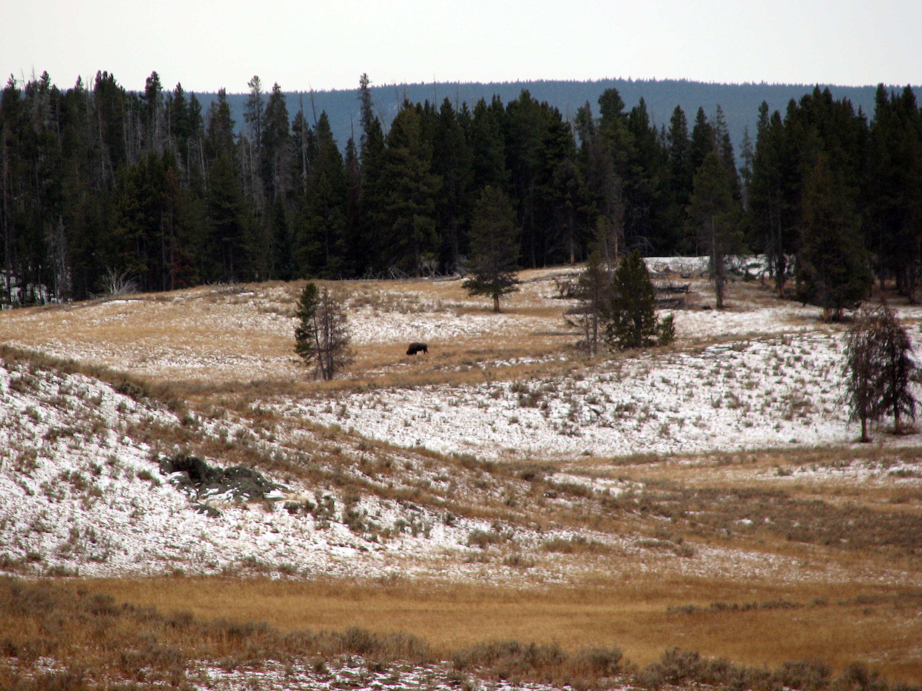
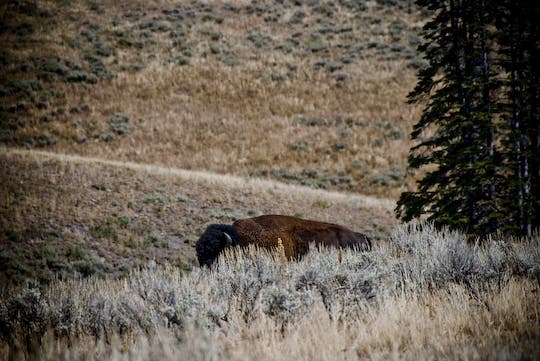
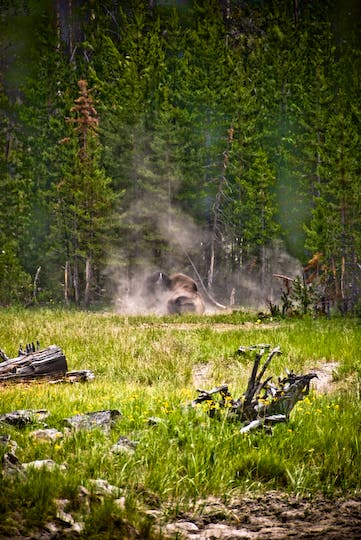
Trail enters open plains (a great place to look for grazing bison).
RIB014
Location: 44.708564, -110.468772
A billowing fumarole signals the trail is re-entering a geologically active area.
RIB015
Location: 44.709209, -110.471975
Watch your footing along the edge of the green, hot spring runoff. Hike between fumaroles and then back into the forest.
RIB016
Location: 44.70859, -110.482742
Pass a spur trail on the left that leads to Sour Creek and Fishing Bridge. Enjoy this elevated vantage of the rolling plains. In 0.4 mile, the route reconnects with Waypoint 2. Turn left to return to the trailhead.
Single Bison
Location: 44.7083848, -110.4990828
First Trail Junction
Location: 44.7092312, -110.4904675
Animal Tracks
Location: 44.709516, -110.489151
Clear Lake
Location: 44.712862, -110.479663
Thermal Activity
Location: 44.714942, -110.47606
Trailside Views
Location: 44.7147666, -110.4746425
Ribbon Lake
Location: 44.7240329, -110.4514682
Bears
Location: 44.708881, -110.464819
Grazing Bison
Location: 44.70881, -110.465233
Solitary Bison
Location: 44.708355, -110.466256