Yellowstone National Park: Ice Lake

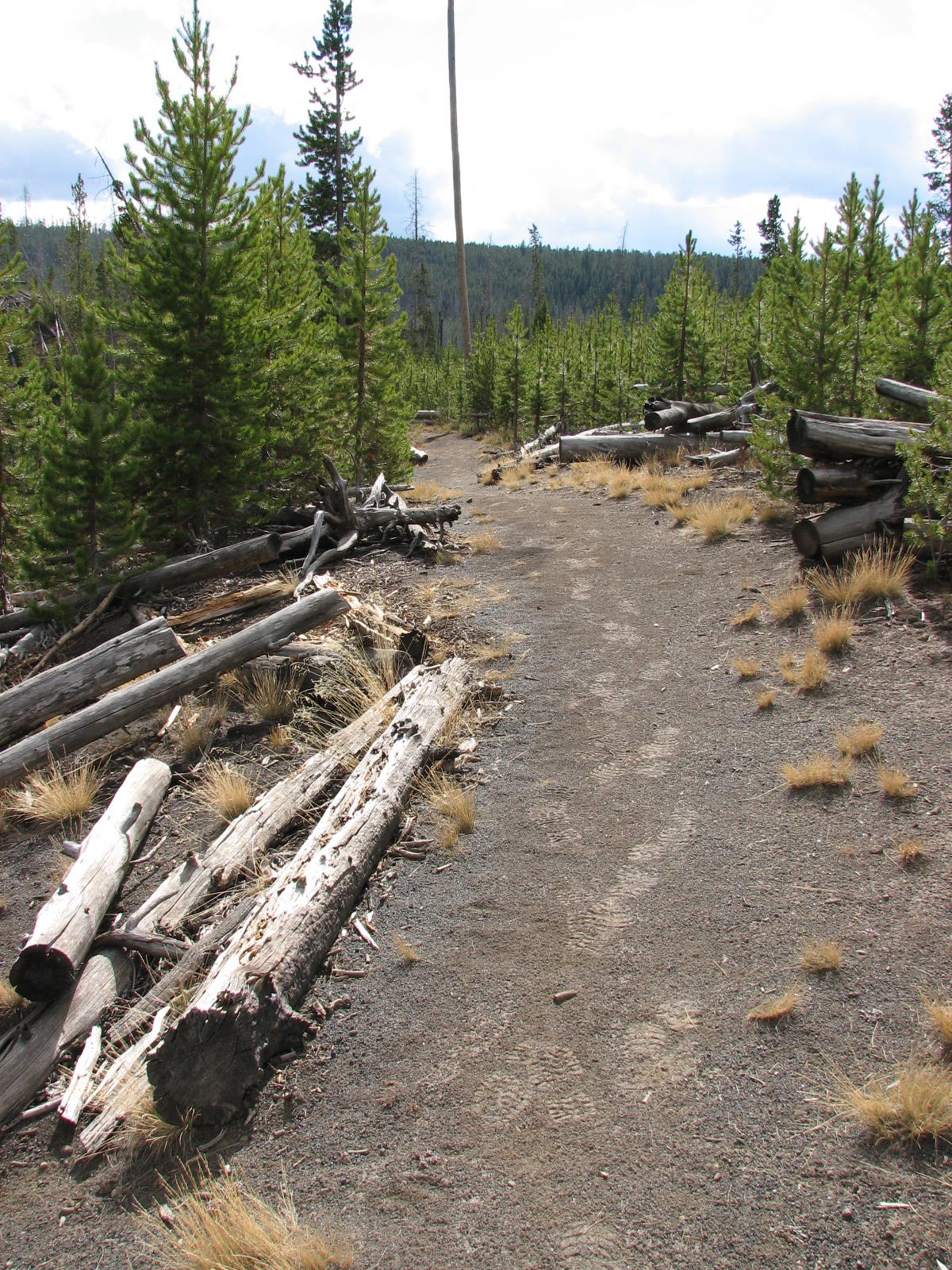
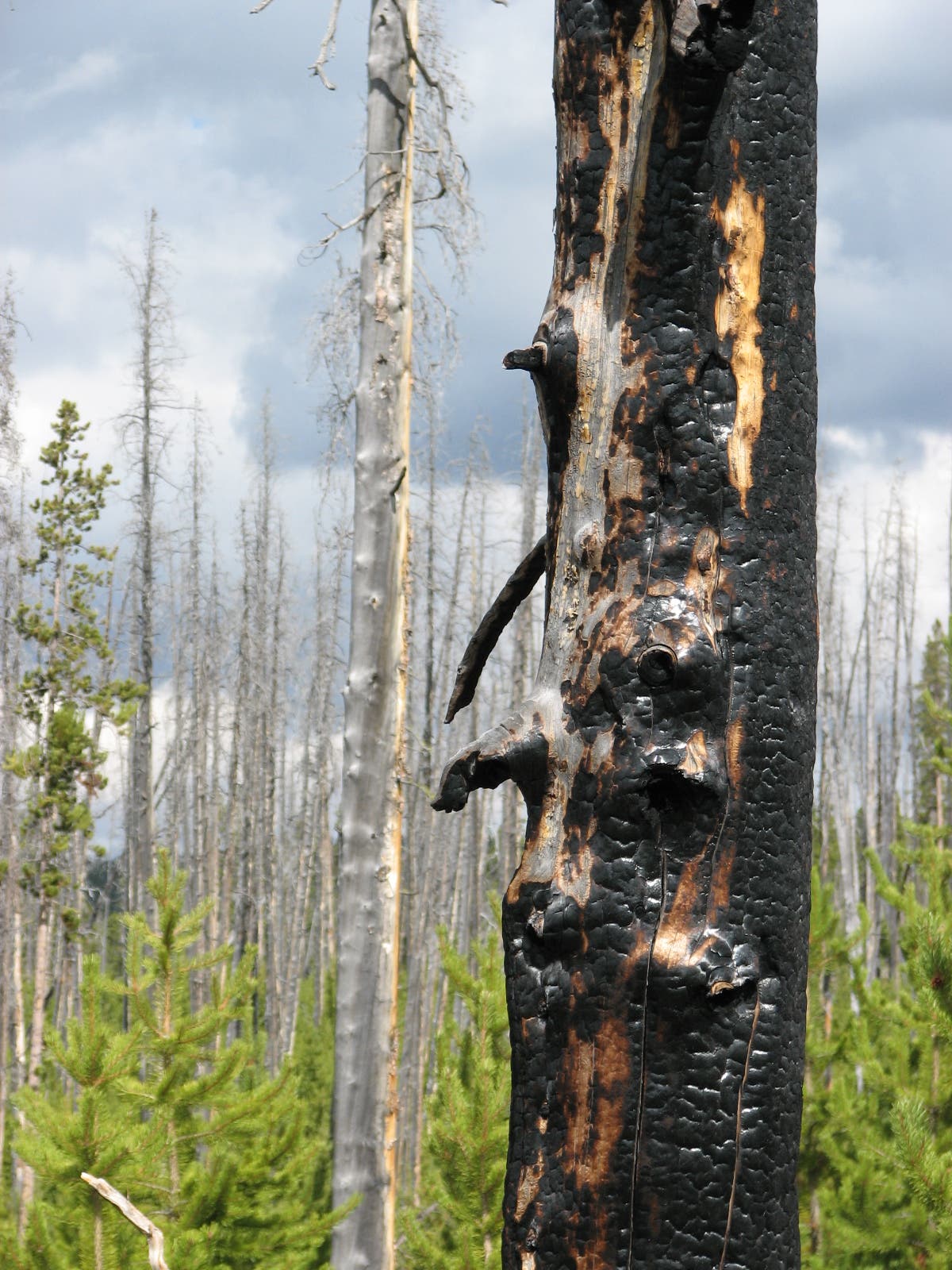
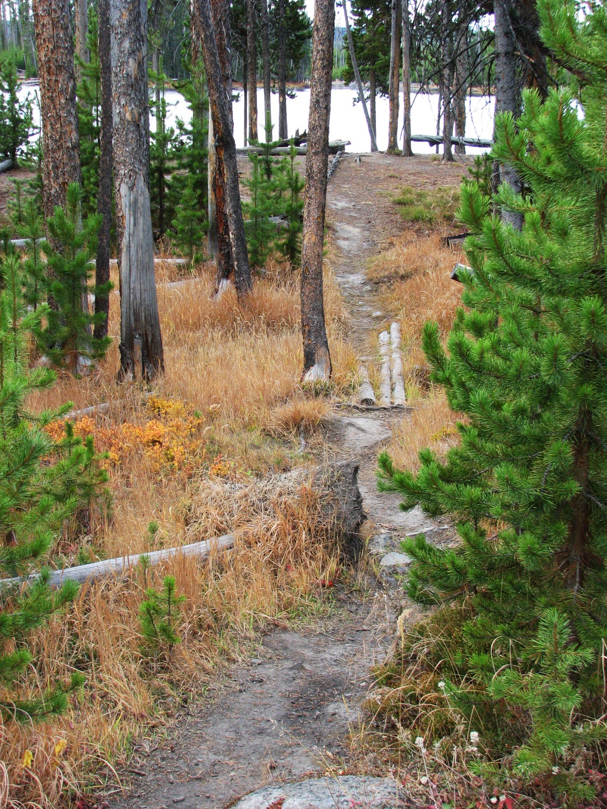
A perfect introduction to Yellowstone’s spectacular backcountry, this easy cruiser is ideal for dayhikes with the kids or a low-key overnight. Begin by heading north on the Wolf Lake Trail. With much of the area’s lodgepole forest burnt in the 1988 Yellowstone Fires, you’ll witness an ecology lesson in action as you hike past young lodgepole pines and the now fertile forest floor (blanketed with low-lying vegetation).
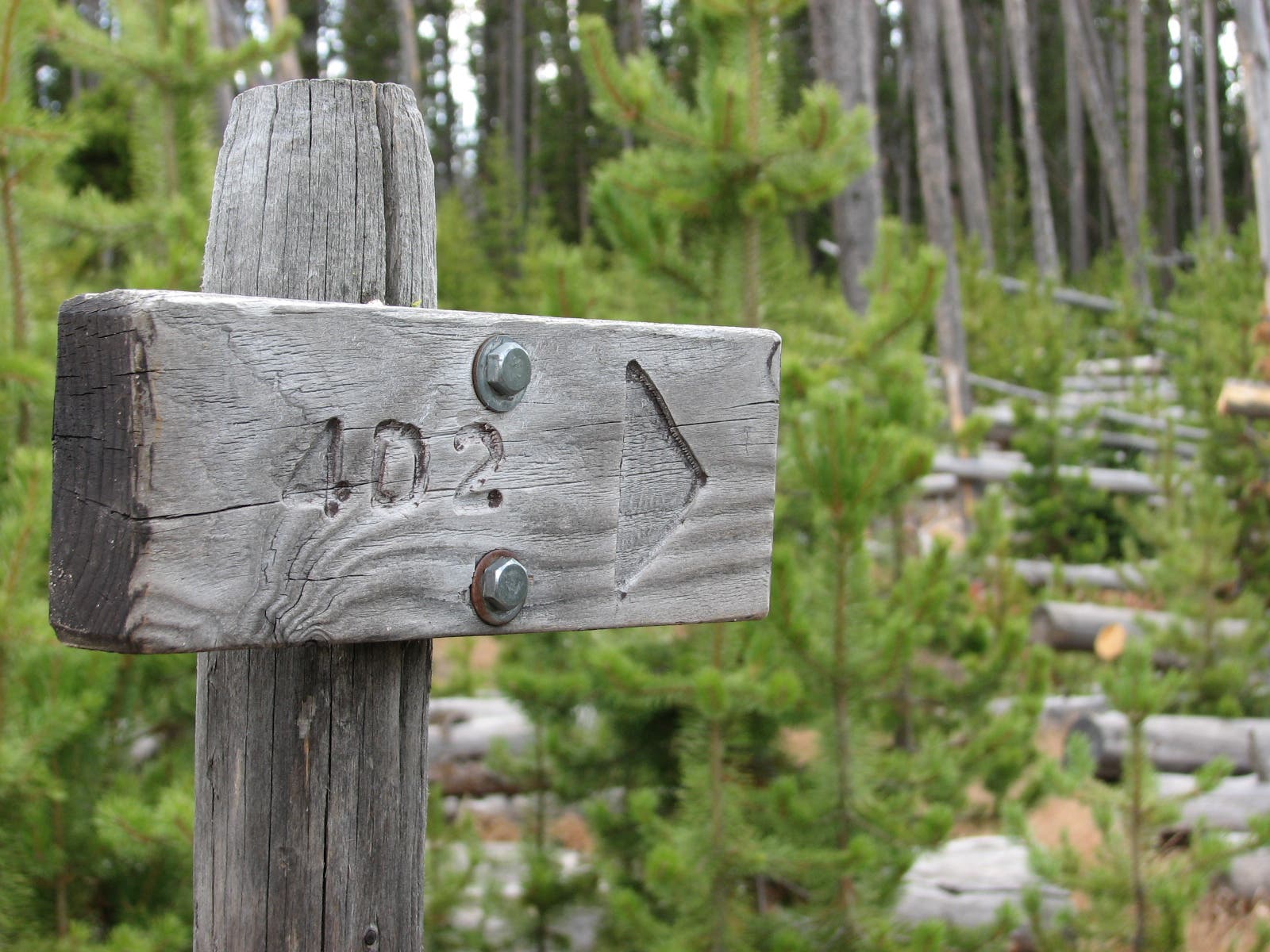
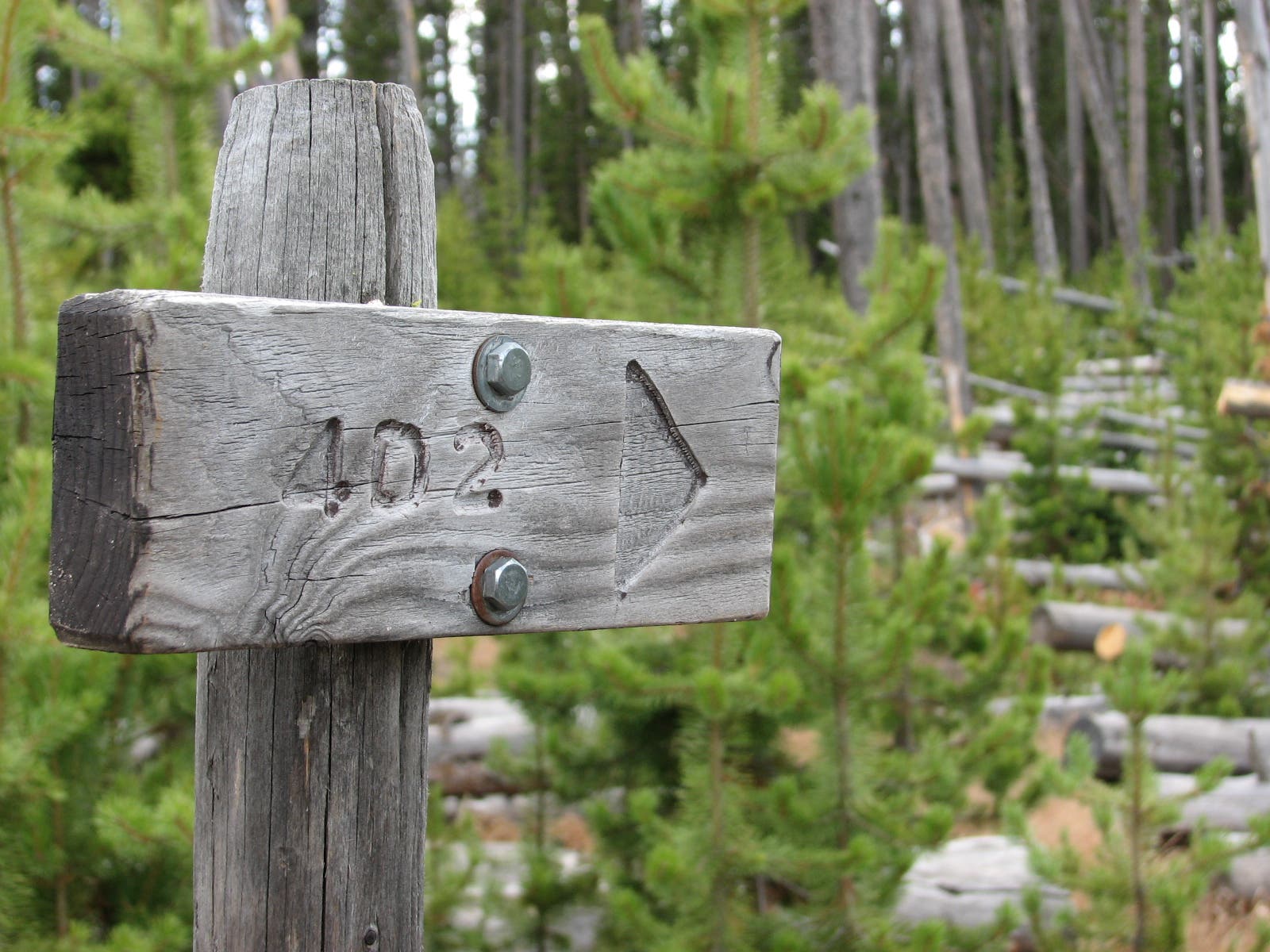
After passing the picturesque Little Gibbons Falls and picking up the Howard Eaton Trail at mile 1.3—you’ll hit Ice Lake at mile 2.1. Right before the lake, the trail travels past campsite 4D2, the first of three perched along the lake’s scenic northern shore. Just 0.4 mile later, the next 2 campsites, ideally situated just 15 feet from the lake, offer perfect spots for casual overnights.
To complete the loop, pick up the Ice Lake Trail and head south along the lake’s western shore before reaching another parking lot (0.4 mile down the road from the trailhead). If you have two cars, park one at each lot before starting the hike and carpool back to the trailhead. If not, complete the loop by making the easy hike back to the trailhead along the Norris Road’s wide shoulder.
PLAN IT
GUIDEBOOK AND MAP: Yellowstone Treasures, by Janet Chapple ($24, yellowstonetreasures.com). Plan other trips in the park using BACKPACKER’s Yellowstone National Park page.
CONDITIONS: For current conditions and updates, go to nps.gov/yell/conditions.htm.
PERMIT: Overnight camping in Yellowstone National Park requires a backcountry permit. Check out the latest fees and more details at nps.gov/yell/planyourvisit/backcountryhiking.htm.
MORE PARK INFO: Yellowstone National Park, (307) 344-7381; nps.gov/yell/
FREE TRIP PLANNERS Get news on vacation deals and lodging at myyellowstonepark.com
-Mapped by Jeff Chow
Trail Facts
- Distance: 6.1
Waypoints
ICE001
Location: 44.71288, -110.62762
From the roadside parking area, walk east and cross Norris Canyon Road to reach the trailhead.
ICE002
Location: 44.712746, -110.627013
From the trailhead, hike northeast on the well-traveled Wolf Lake Trail. The path ducks between open grasslands and stark lodgepole forests, parts of which were burned in the 1988 Yellowstone fires.
ICE003
Location: 44.716528, -110.616199
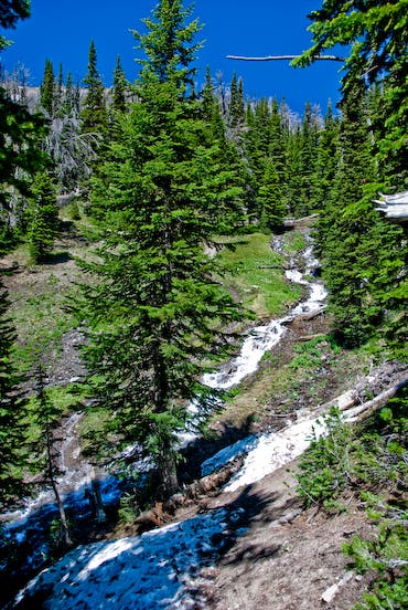
Bust out your cameras as you pass by Little Gibbons Falls, a 20-foot slide cascading through an area burned in the 1988 fires.
ICE004
Location: 44.717039, -110.615598
Cross Gibbon River on a log, then continue north.
ICE005
Location: 44.7213, -110.607533
At the 3-way junction, turn left onto the Howard Eaton Trail, following the sign to Ice Lake.
ICE006
Location: 44.722306, -110.616365
Navigate a tricky, log-pile stream crossing as you approach the lake.
ICE007
Location: 44.722685, -110.620343
Pass a spur trail leading to the 4D2 campsite to gain your first views of the placid Ice Lake. For the next mile, you’ll be treated to tranquil scenes as you trace the lake’s northern and western shores.
ICE008
Location: 44.722702, -110.631804
Continuing on the Howard Eaton Trail, pass a side trail leading to campsite 4D1. Just 15 feet from the waters edge, this picturesque site is a perfect spot for hikers looking to spend the night.
ICE009
Location: 44.723423, -110.634465
Pass a marshy area serving up serene lake views before turning left onto Ice Lake Trail.
ICE010
Location: 44.718361, -110.634152
Bypass the spur trail to the 4D3 campsite and complete the short hike back to the road.
ICE011
Location: 44.716814, -110.633971
The trail ends at a parking pullout on Norris Canyon Road. If you don’t have a car waiting for you at the lot, turn left onto Norris Canyon Road for the 0.4-mile walk back to the trailhead.
Wolf Lake Trail
Location: 44.716528, -110.616167
The Wolf Lake Trail slices through open meadows and burned and unburned lodgepole forests.
Stream Crossing
Location: 44.717031, -110.615555
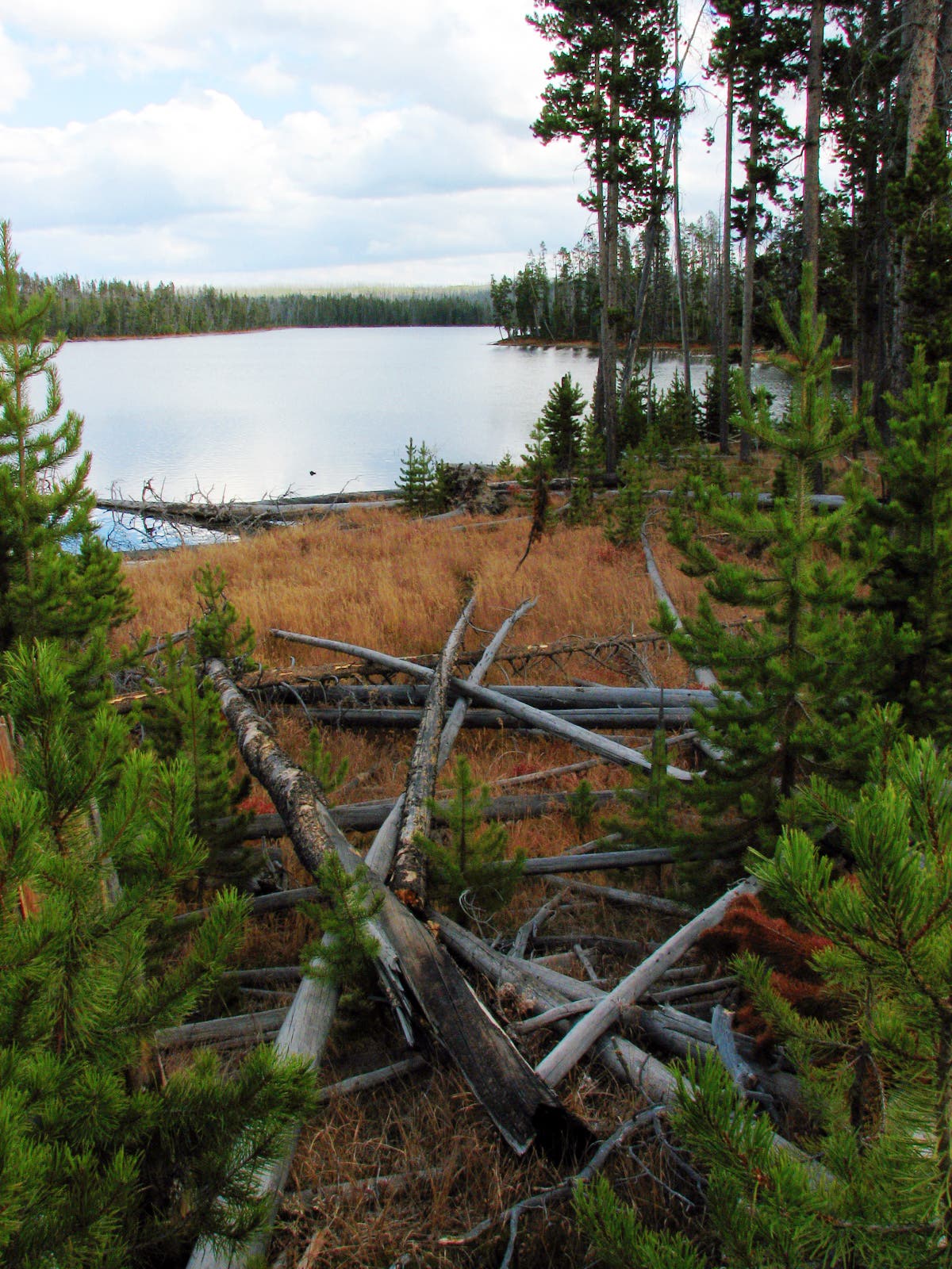
You’ll see many windblown lodgepoles, remnants of the 1988 Yellowstone Fires, as you circle the lake.
Charred Tree
Location: 44.71767, -110.615174
More evidence of the 1988 fires, which damaged 793,000 acres (more than 36 percent) of the park.
Trail Junction
Location: 44.720539, -110.608379
Follow the sign to Ice Lake.
Campsite Sign
Location: 44.722904, -110.619351
Junction for campsite 4D2.
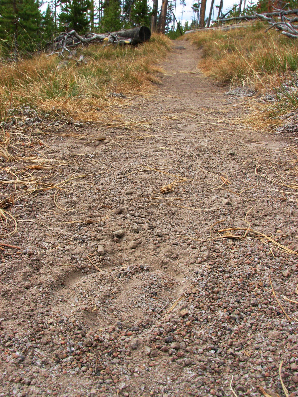
Animal Tracks
Location: 44.722019, -110.627174
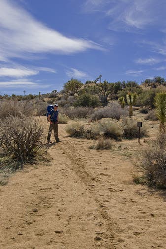
Humans aren’t the only animals to make heavy use of the Ice Lake area.
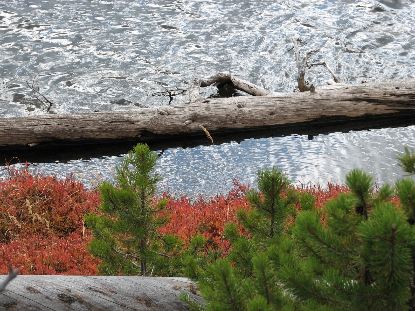
Ice Lake
Location: 44.722246, -110.629709
The trail offers constant scenic vistas as it wanders around the lake’s northern shore.
Campsite Sign
Location: 44.722522, -110.631251
Junction for campsite 4D1, ideally located 15 feet from the water.
Spur Trail
Location: 44.722588, -110.631477
This trail leads to a picturesque campsite located just a few feet from the water.
Views of Ice Lake
Location: 44.721093, -110.635307
Gaze across the mirror-like surface of Ice Lake from this tranquil vantage point on its western shore.