Yellowstone National Park: Grand Canyon of the Yellowstone - South Rim

One of Yellowstone National Park’s classic landmarks, the Grand Canyon of the Yellowstone extends roughly 20 miles from Upper Falls to the Tower Fall area and drops 1,200 feet, at its deepest point, to the Yellowstone River. Walk the south rim of this immense gorge on this 4.4-mile out-and-back that leads to a classic view of Upper Falls.
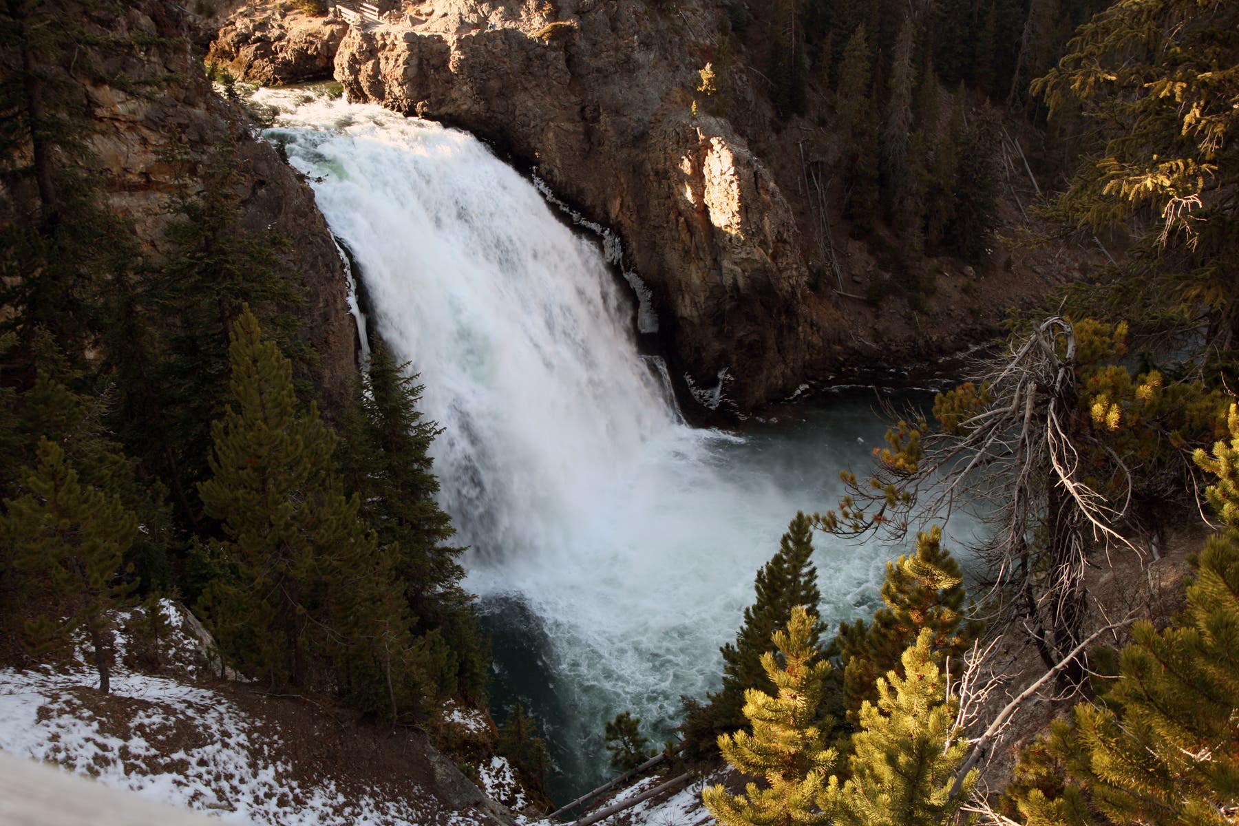
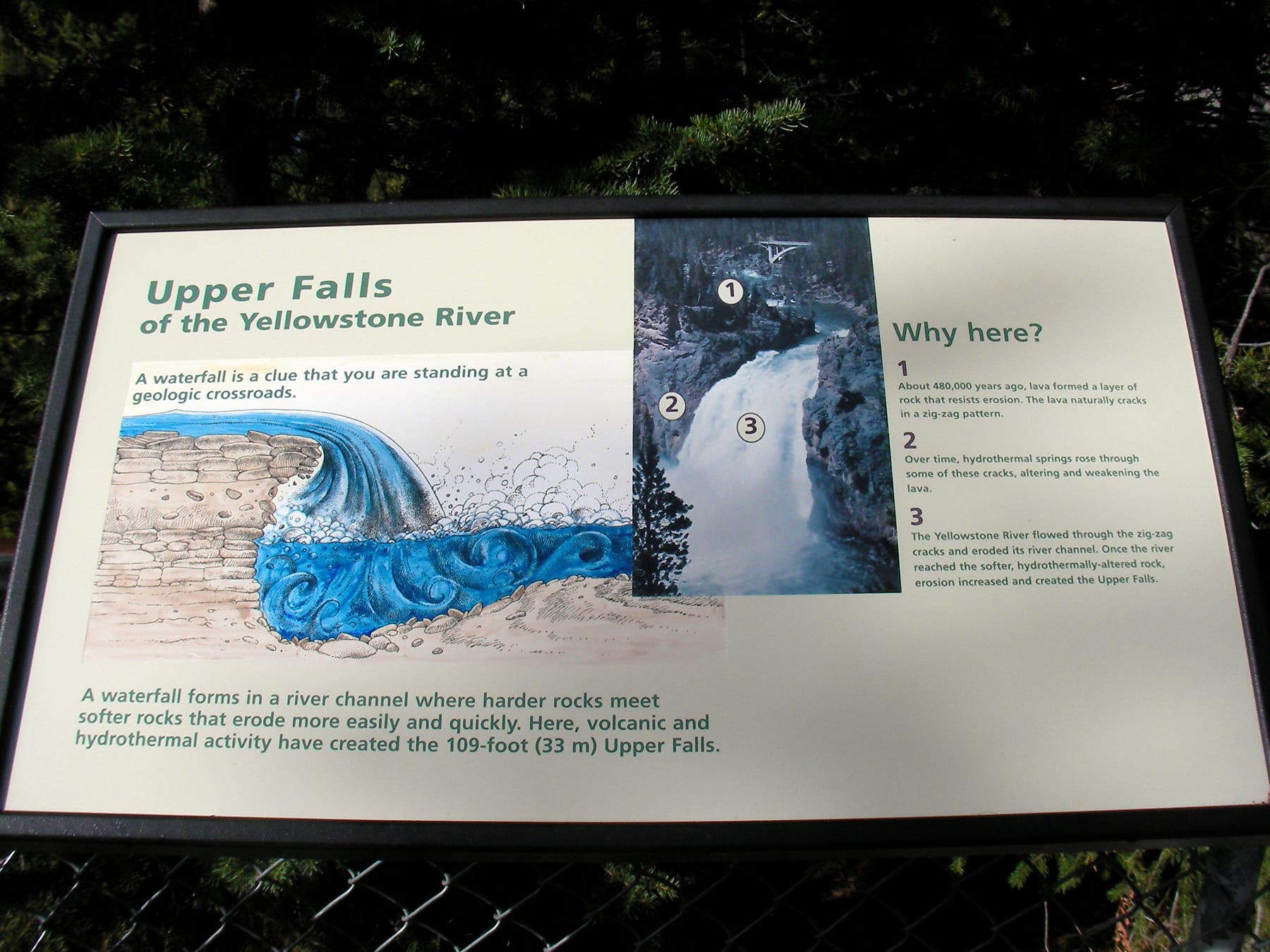
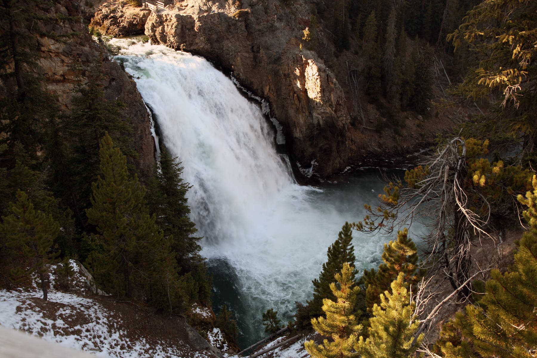
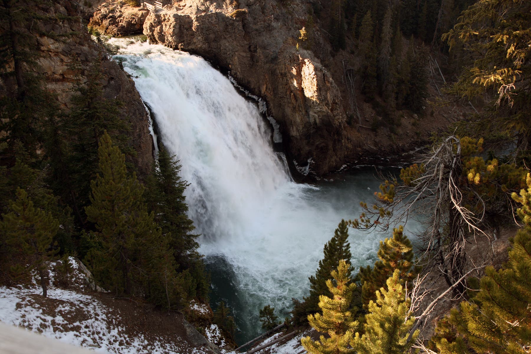
From the Wapiti Lake Trailhead, cross the road and pick up the South Rim Trail just east of the bridge. Ahead, the partially paved trail follows the Yellowstone River to the north past multiple rocky bluffs. After half a mile, stop at a point overlooking Upper Falls for views of the Yellowstone River plummeting 109 feet into the canyon. At mile 0.7, continue straight at a 3-way junction, heading north toward Lower Falls.
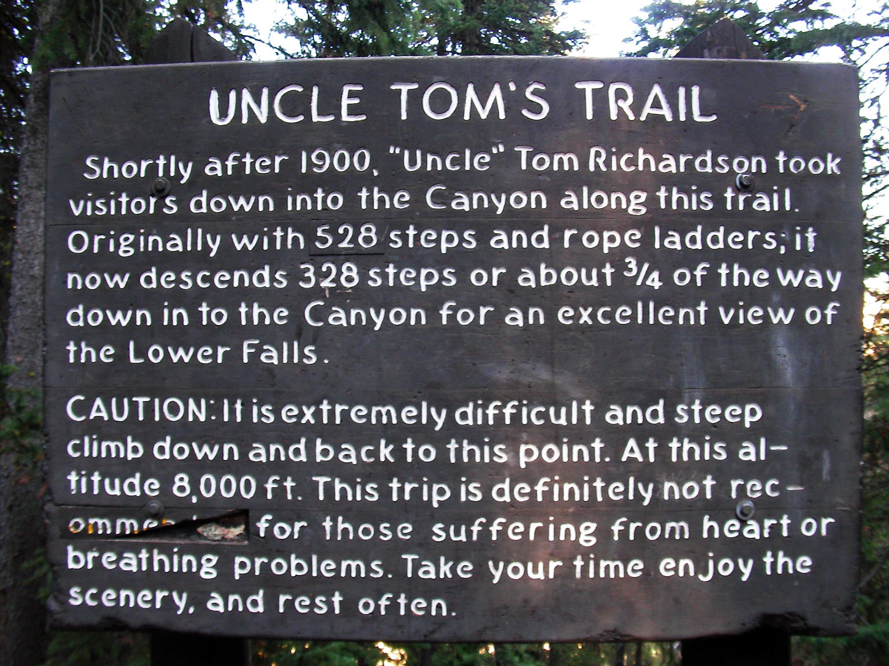
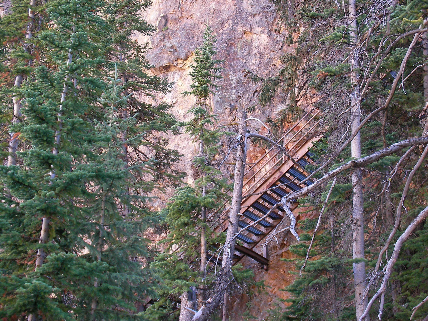
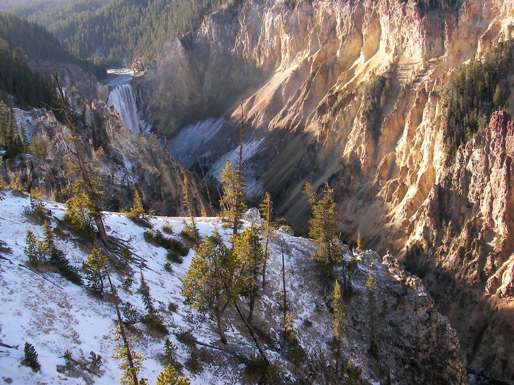
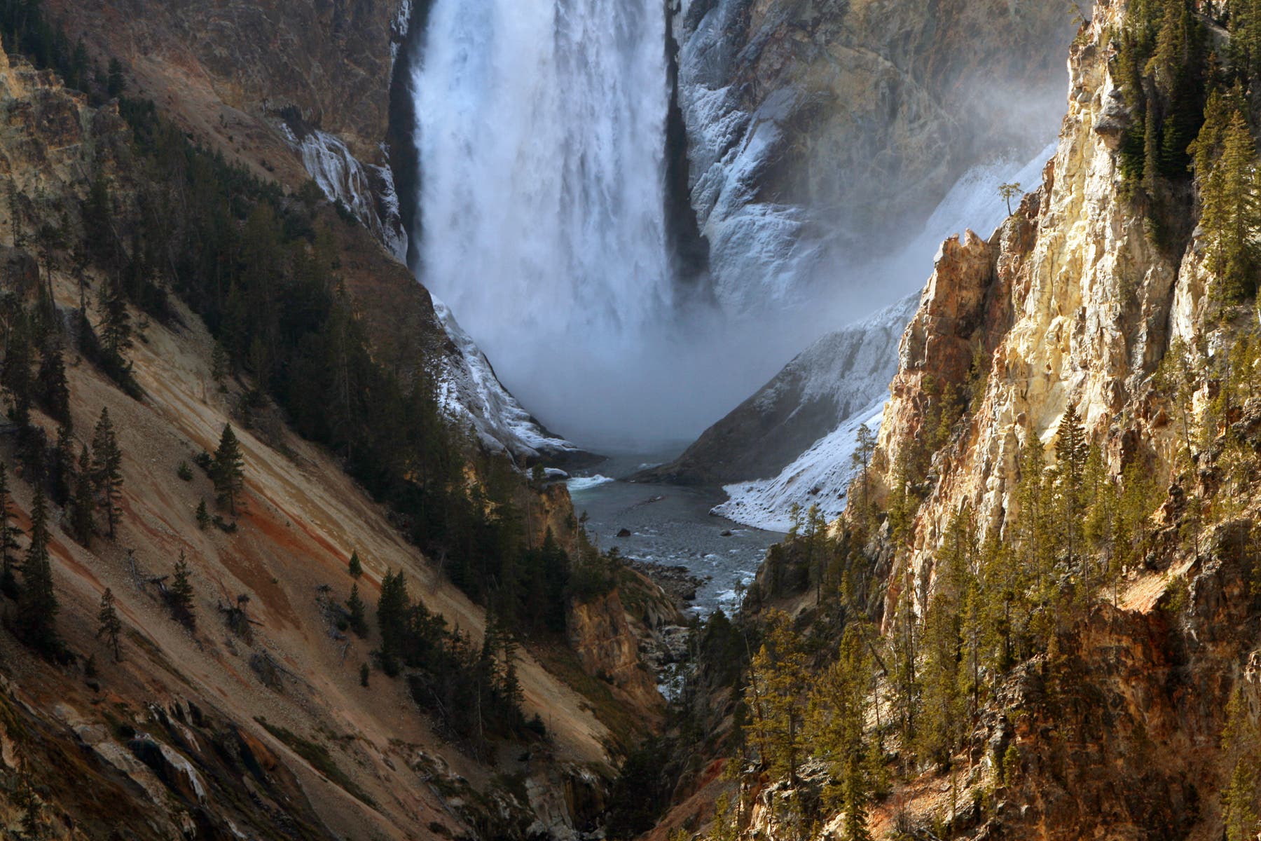
One mile into the trail, turn left onto Uncle Tom’s Trail for the route’s most challenging section: 328 grated metal steps that descend to a vantage point overlooking Lower Falls. You’ll get a front row seat of this massive wall of water—Yellowstone’s biggest waterfall—as it plunges 308 feet to the canyon bottom.
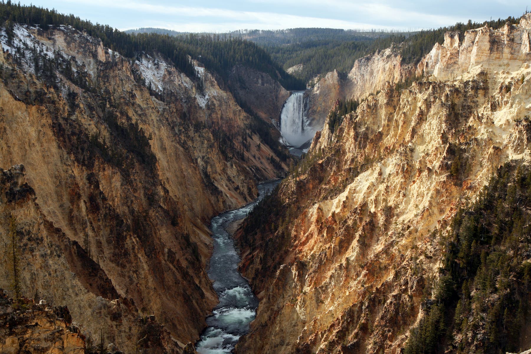
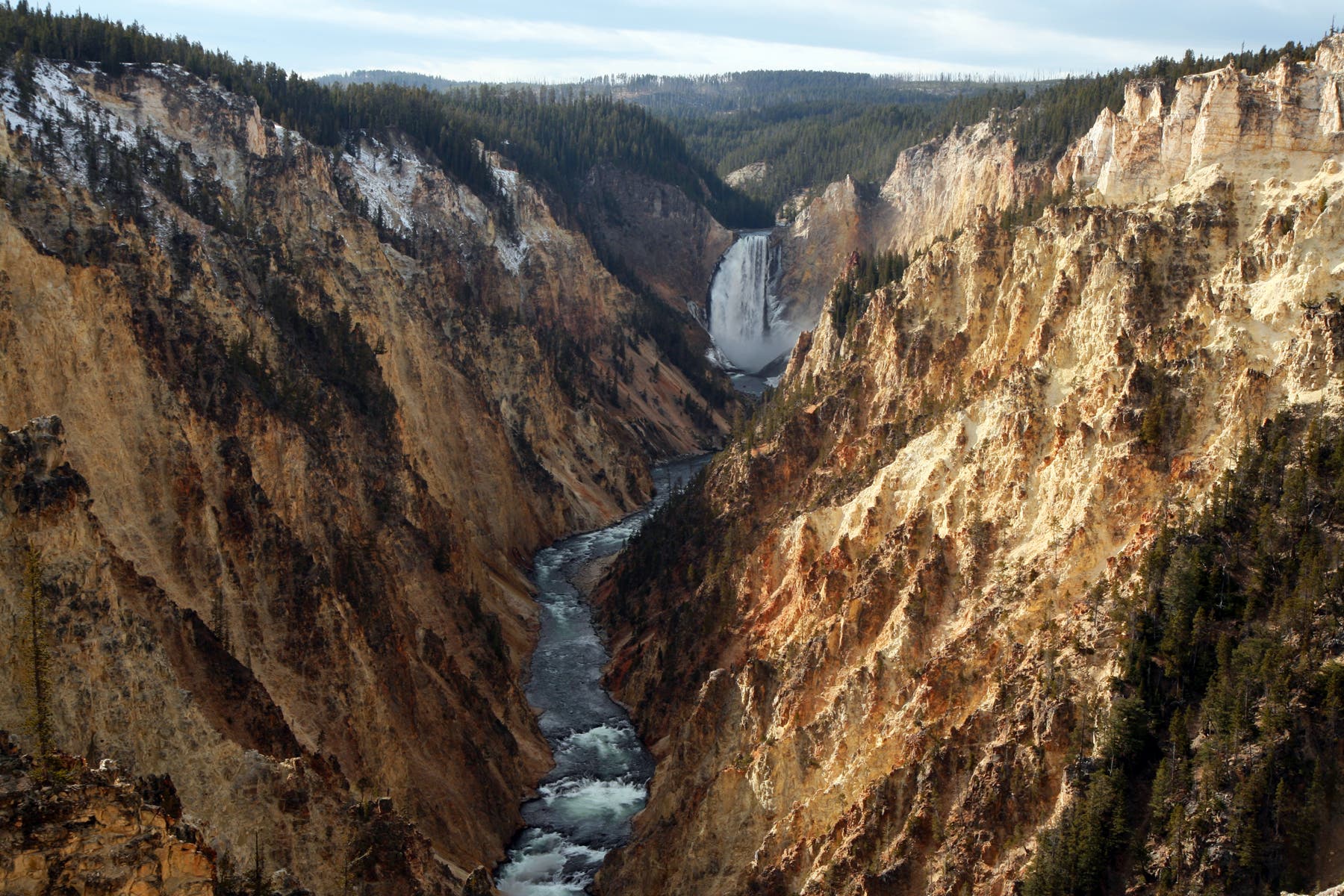
After ascending back up the steep staircase, turn left at the top and head east along the edge of the canyon. Less than half a mile later, prepare for a steep switchback climb flanked by lovely woods. At mile 2.3, the route culminates at Artist Point, a popular lookout with picture-perfect views down the length of the canyon to Lower Falls. Snap some photos before turning around for the return trip to Wapiti Lake Trailhead.
PLAN IT
GUIDEBOOK AND MAP: Yellowstone Treasures, by Janet Chapple ($24, yellowstonetreasures.com). Plan other trips in the park using BACKPACKER’s Yellowstone National Park page.
CONDITIONS: For current conditions and updates, go to nps.gov/yell/conditions.htm.
PERMIT: Overnight camping in Yellowstone National Park requires a backcountry permit. Check out the latest fees and more details at nps.gov/yell/planyourvisit/backcountryhiking.htm.
MORE PARK INFO: Yellowstone National Park, (307) 344-7381; nps.gov/yell/
FREE TRIP PLANNERS Get news on vacation deals and lodging at myyellowstonepark.com
-Mapped by Jeff Chow
Trail Facts
- Distance: 7.1
Waypoints
SRM001
Location: 44.708062, -110.500902
Wapiti Lake Trailhead: Look for a sign in the parking lot indicating “Trail to Bridge – South/North Rim Trail.”
SRM002
Location: 44.7079617, -110.5018562
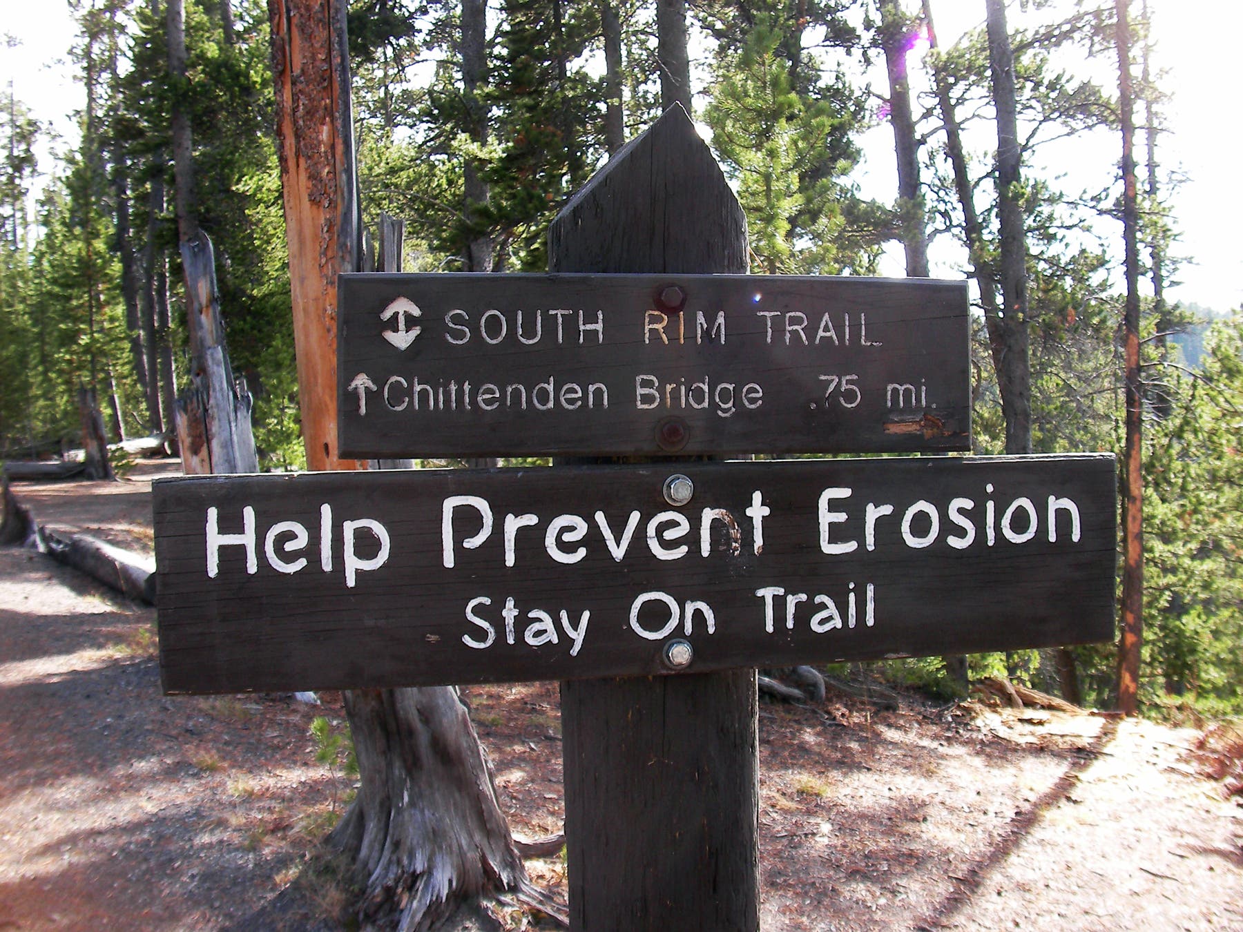
Cross the road and head to the bridge; you’ll see a sign for South Rim Trail. Ahead, the partially paved trail follows the Yellowstone River to the north past multiple rocky bluffs.
SRM003
Location: 44.7105884, -110.5009389
Catch a glimpse of a beautiful arched bridge on the north side of the river. Small rapids can be seen on the left.
SRM004
Location: 44.7123649, -110.4985034
Upper Falls: Catch views of the Yellowstone River plummeting 109 feet into the canyon. Although this waterfall is smaller than Lower Falls it still puts on an impressive show.
SRM005
Location: 44.7146484, -110.4971409
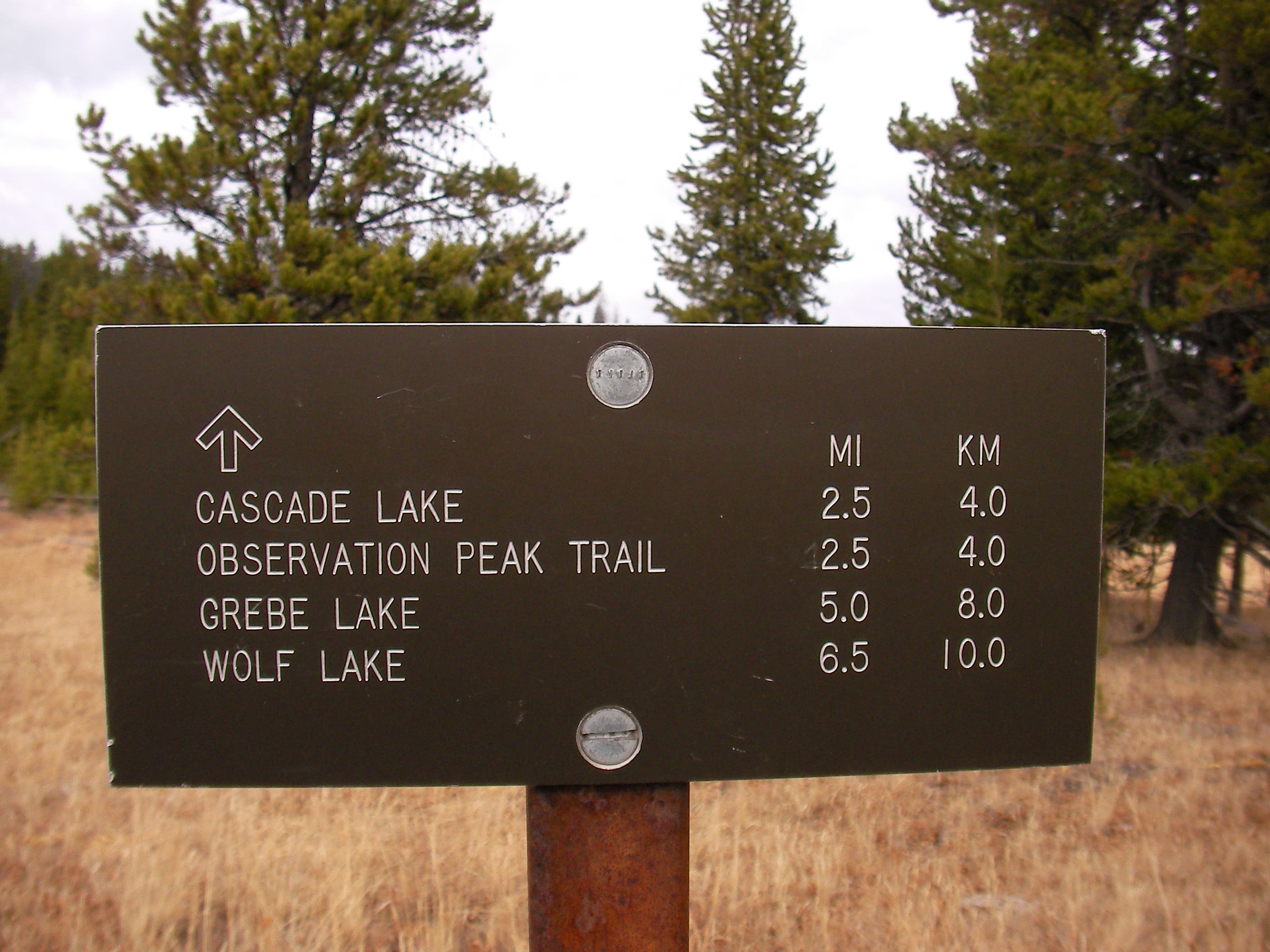
Continue straight at this 3-way junction, heading north toward Lower Falls. A trail to Upper Falls parking area veers right.
SRM006
Location: 44.7164743, -110.4957891
Stay left at trail fork, heading downhill to the beginning of Uncle Tom’s Trail.
SRM007
Location: 44.7163276, -110.4950729
Uncle Tom’s Trail: Leave your fear of heights behind as you descend the 328 grated metal steps to Lower Falls. Caution: This portion of the trail is very steep and challenging.
SRM008
Location: 44.7175283, -110.4944721
Uncle Tom’s Viewpoint: You’ll get a front row seat of Lower Falls at this viewpoint roughly ¾ of the way down into the Grand Canyon of the Yellowstone. This massive wall of water (Yellowstone’s biggest waterfall) plunges 308 feet to the canyon bottom. Next, return to Waypoint 7 and turn left to continue the loop.
SRM009
Location: 44.7170766, -110.4919696
Stop at this viewpoint along the rim of the canyon to get a different perspective of Lower Falls.
SRM010
Location: 44.7169623, -110.4899418
Next to Uncle Tom’s Trail, this section is the most challenging. Prepare for a steep switchback climb flanked by lovely woods.
SRM011
Location: 44.7187996, -110.4823029
Walk northeast through the Artist Point parking lot.
SRM012
Location: 44.7209037, -110.4789931
Artist Point: Look down the length of the canyon for picture-perfect views of Lower Falls in the distance. This viewpoint is said to be named by park photographer F. Jay Haynes in 1883. From here, turn around and return to the Wapiti Lake Trailhead.
View from Artist Point
Location: 44.7210447, -110.4793632
Upper Falls
Location: 44.7123421, -110.4983854
Trail Sign
Location: 44.7146522, -110.4970872
Interpretive Sign
Location: 44.714717, -110.4971784
Upper Falls
Location: 44.7147475, -110.4971892
Trail Sign
Location: 44.7164743, -110.49573
Uncle Tom’s Trail
Location: 44.7165792, -110.4952821
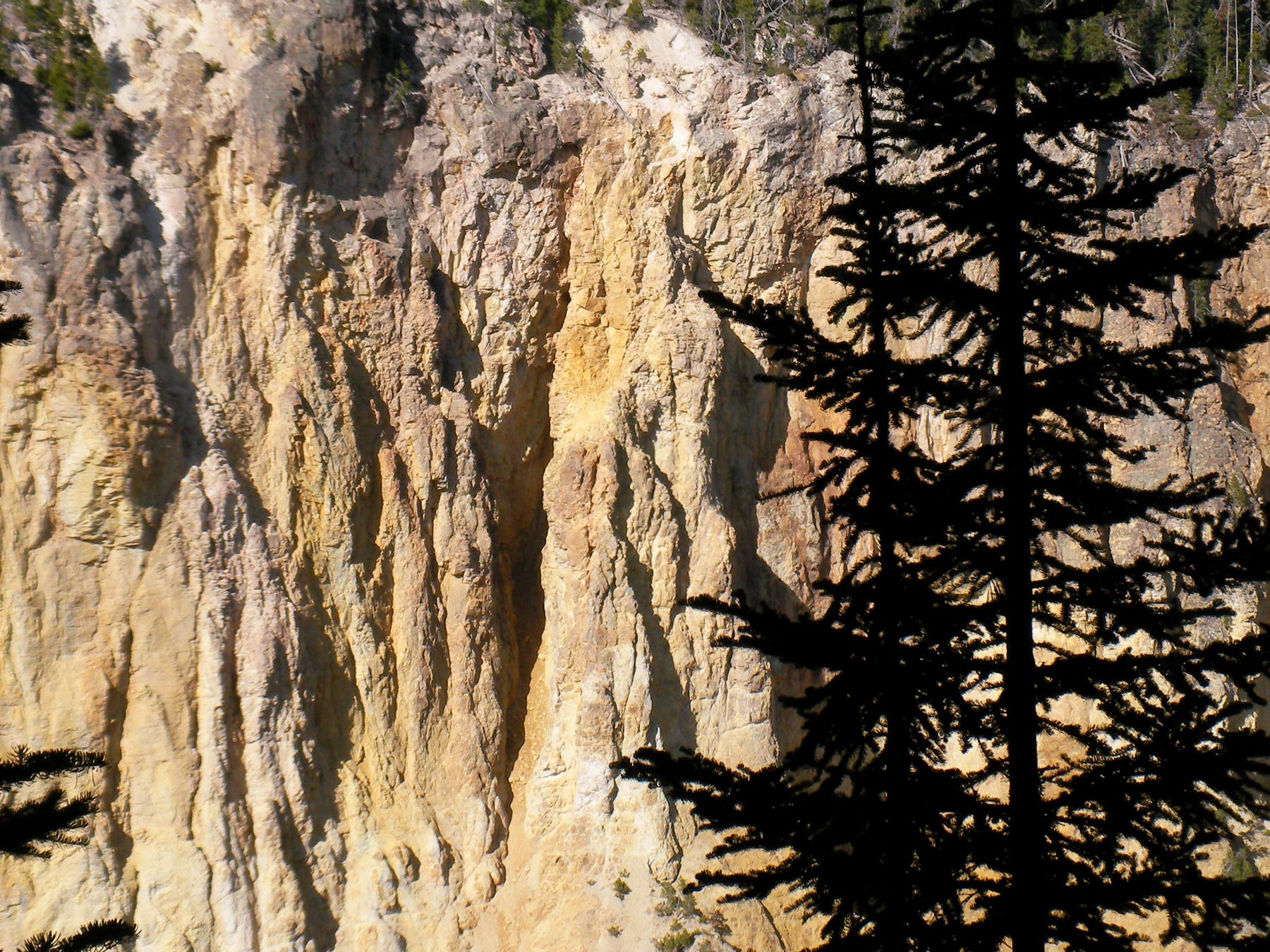
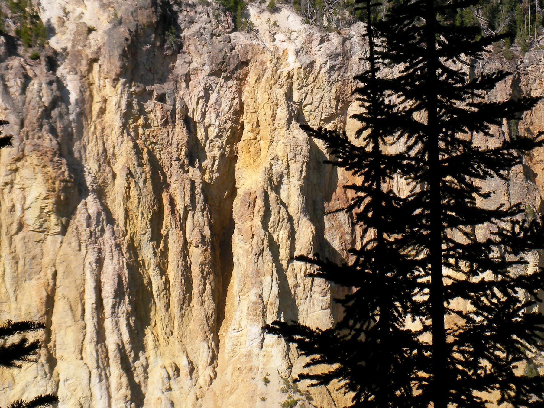
Canyon Walls
Location: 44.7168841, -110.4951668
Canyon Walls
Location: 44.7172329, -110.494633
Staircase
Location: 44.7175283, -110.4944479
Upper Falls
Location: 44.7175264, -110.4944238
Canyon Walls
Location: 44.717175, -110.491462
Grand Canyon of the Yellowstone
Location: 44.717839, -110.4866159
View from Artist Point
Location: 44.7210733, -110.4793766
Lower Falls
Location: 44.7211038, -110.4793766