Yellowstone National Park: Electric Peak

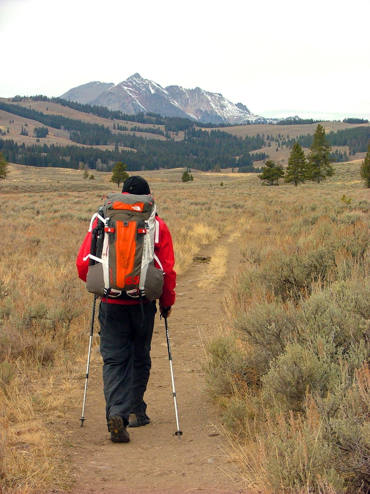
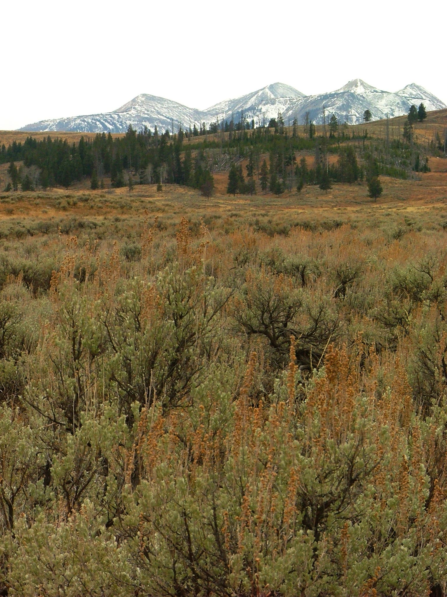
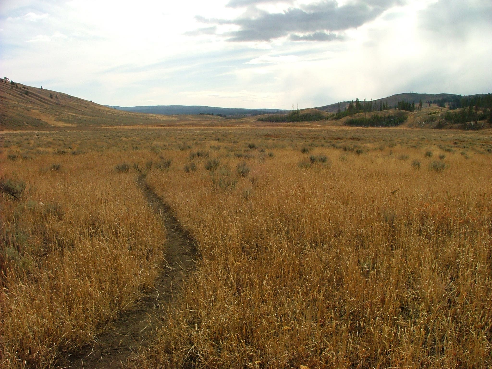
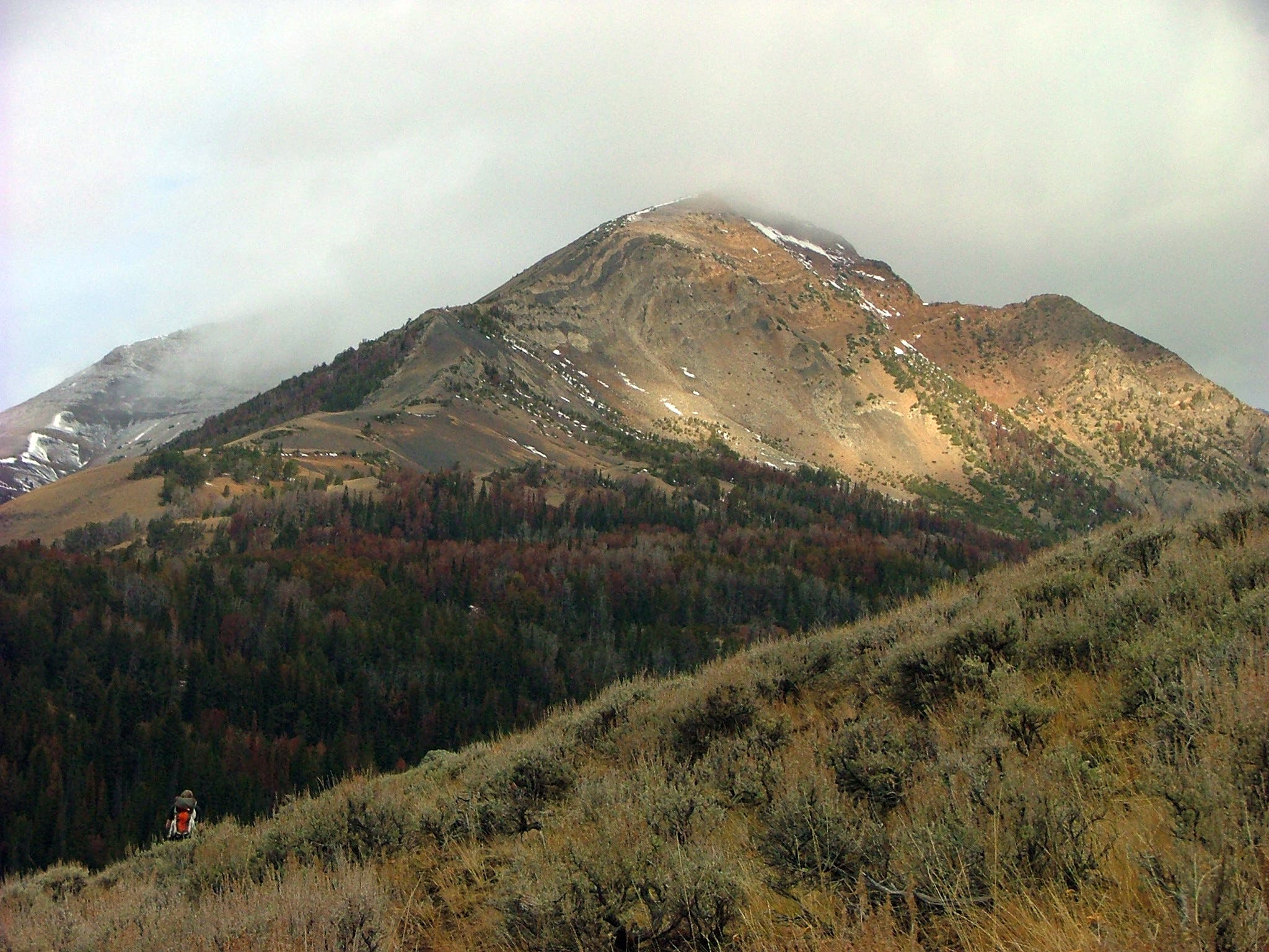
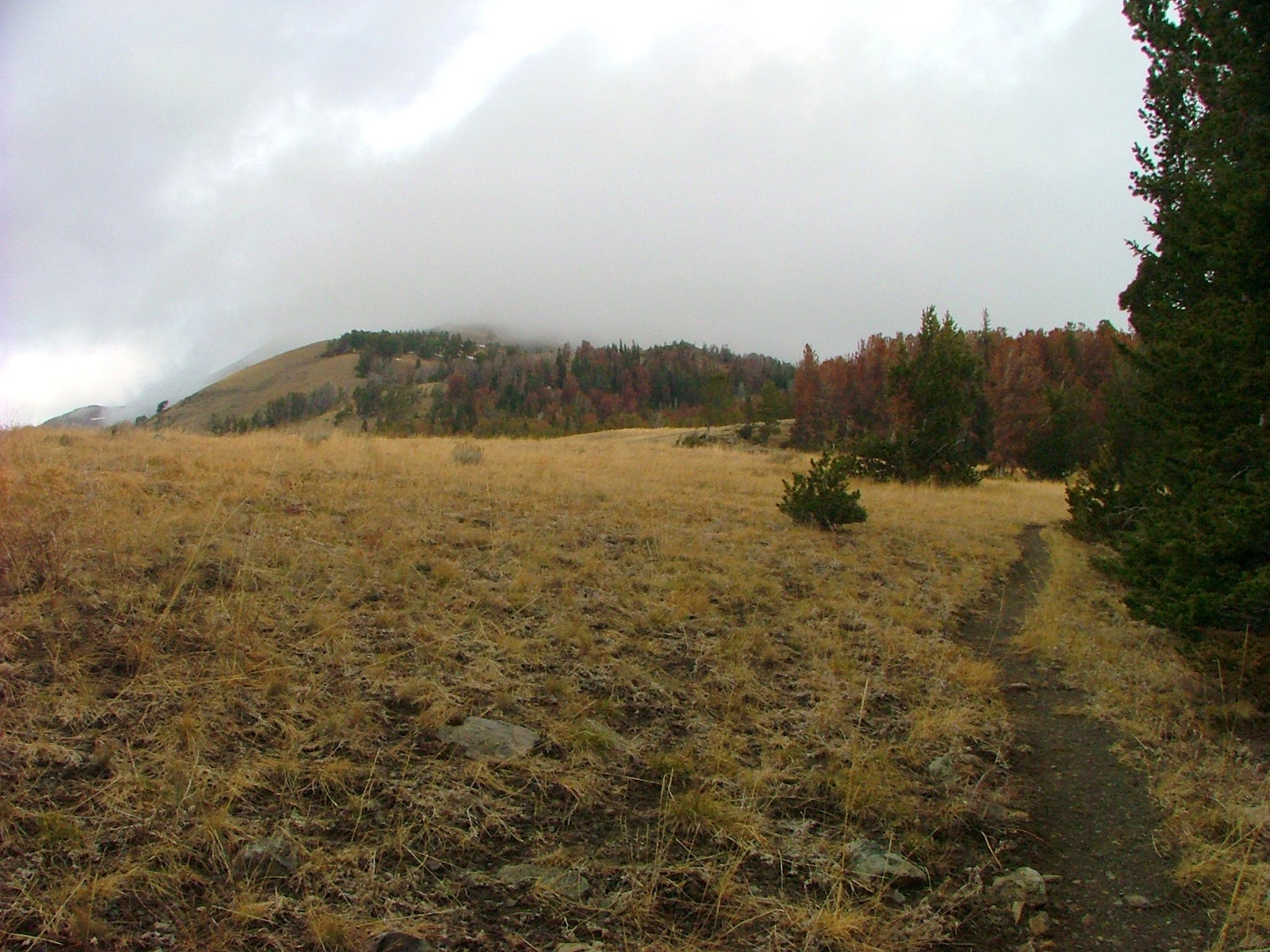
Featuring a memorable mix of plains, peaks, and wildlife, this 20.6-mile trek scales the scree-laden slopes of Electric Peak for unobstructed views across Yellowstone National Park. The route begins on the south side of Kingman Pass at Glen Creek Trailhead and travels east through the sagebrush grasslands. (Keep an eye out for grizzly and bison that roam the area.)
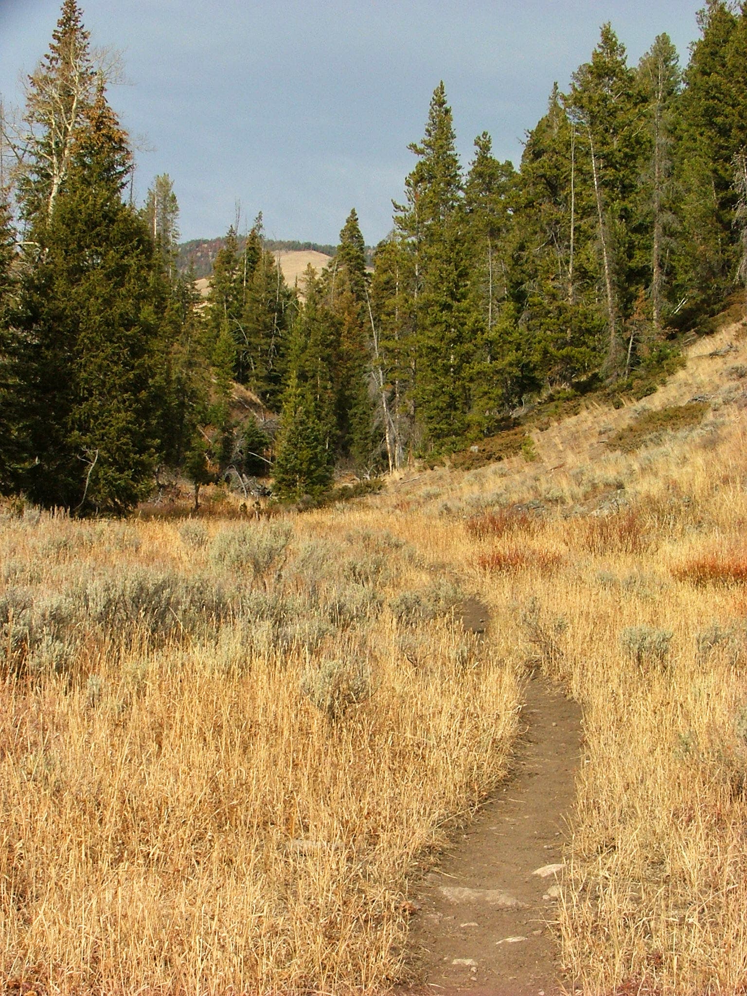
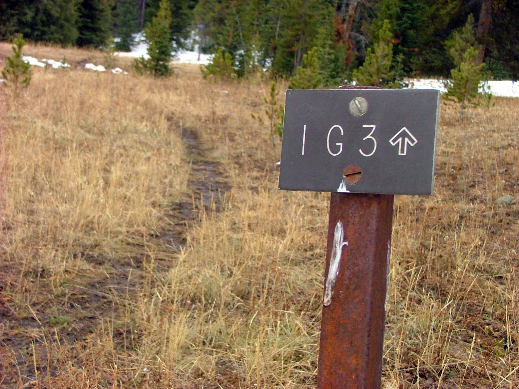
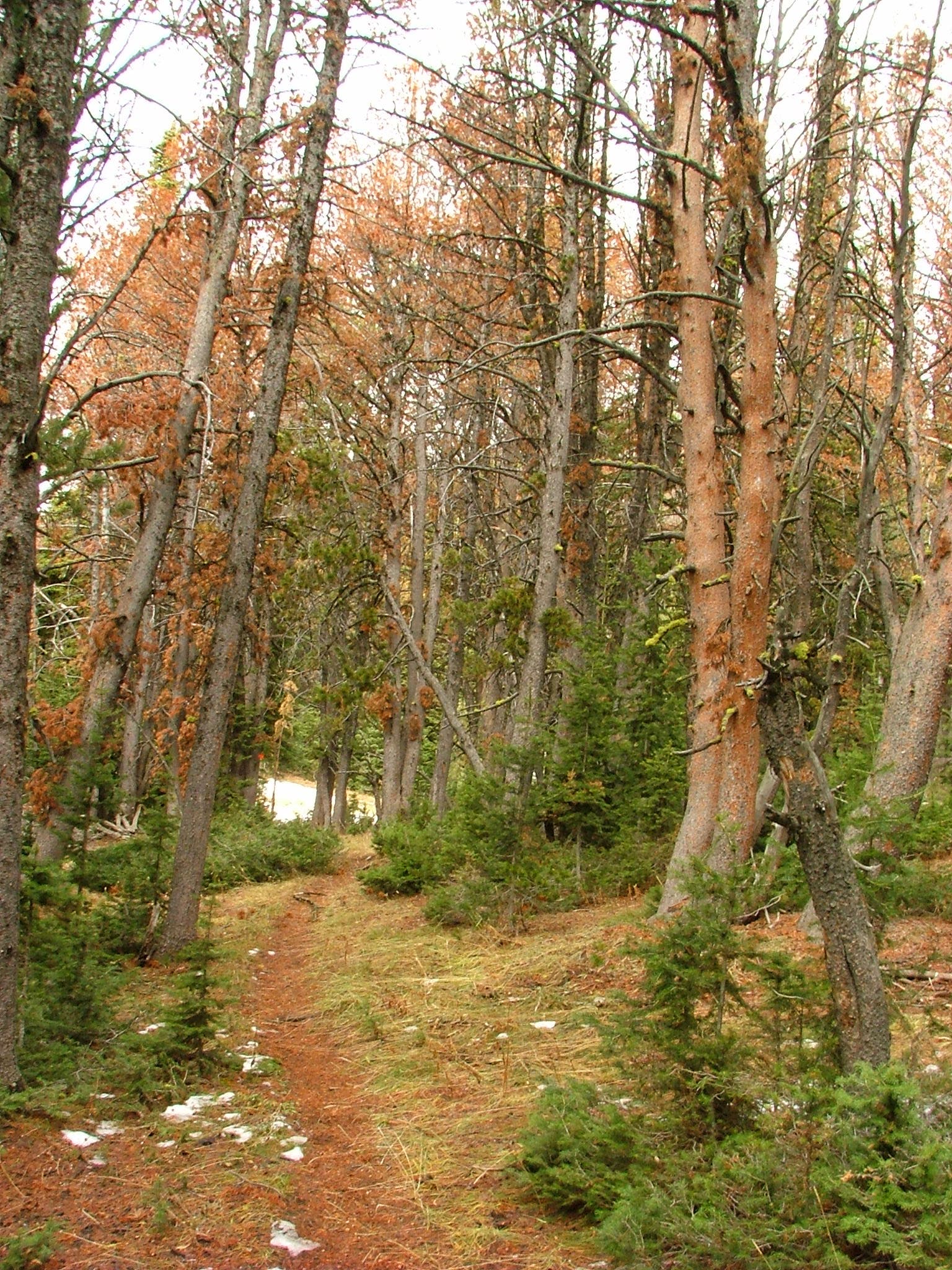
Cruise past a few trail junctions and remain on the path that points directly for the pyramid-shaped Electric Peak. Past the plains, the trail continues up a small river valley and then ducks into a thick forest of Douglas fir. At mile 6, continue straight at a 3-way junction to spend the night at campsite 1G3 or 1G4.
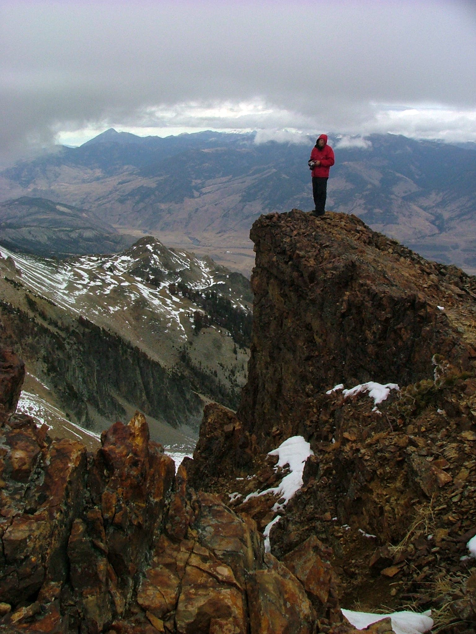
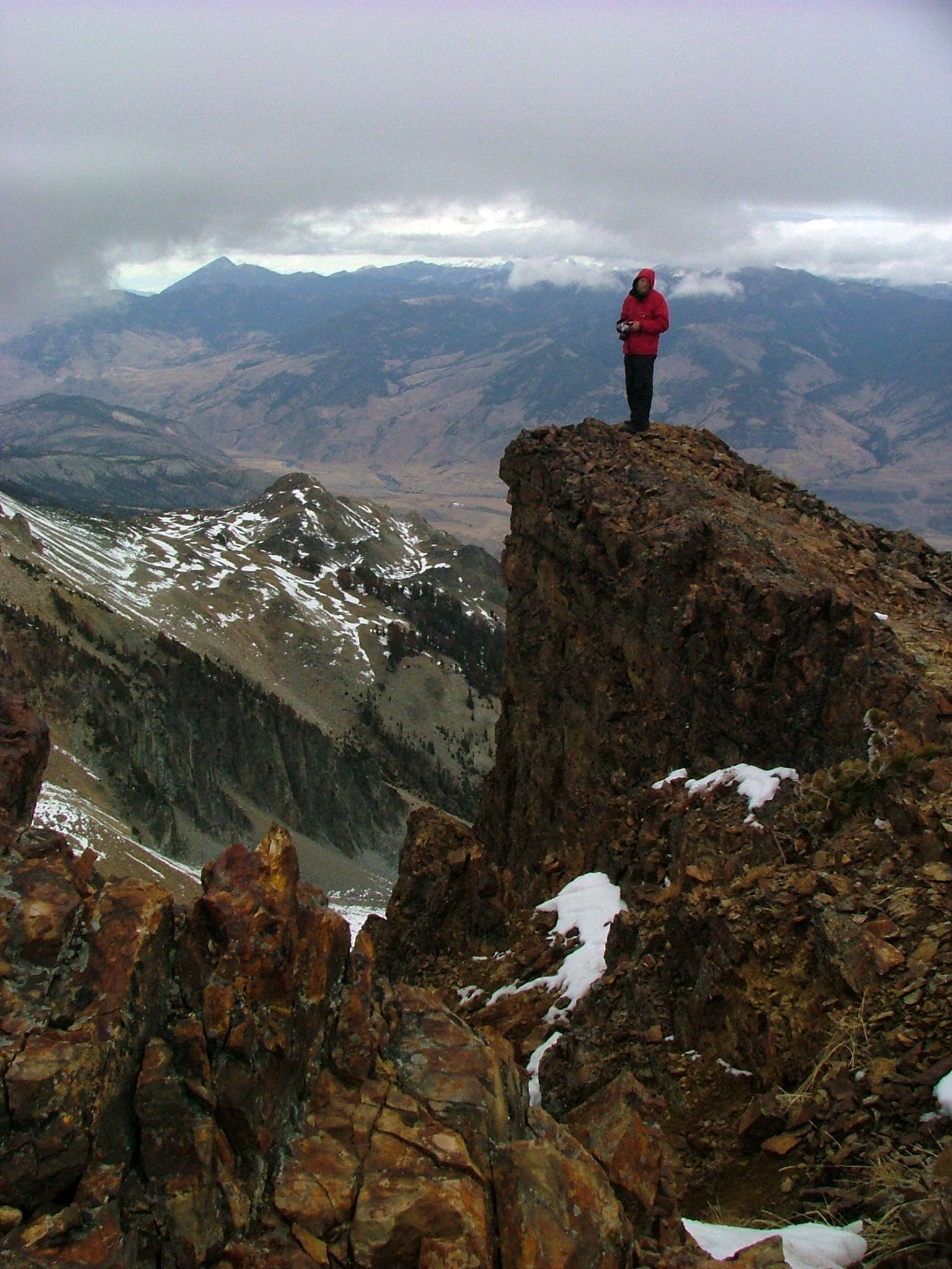
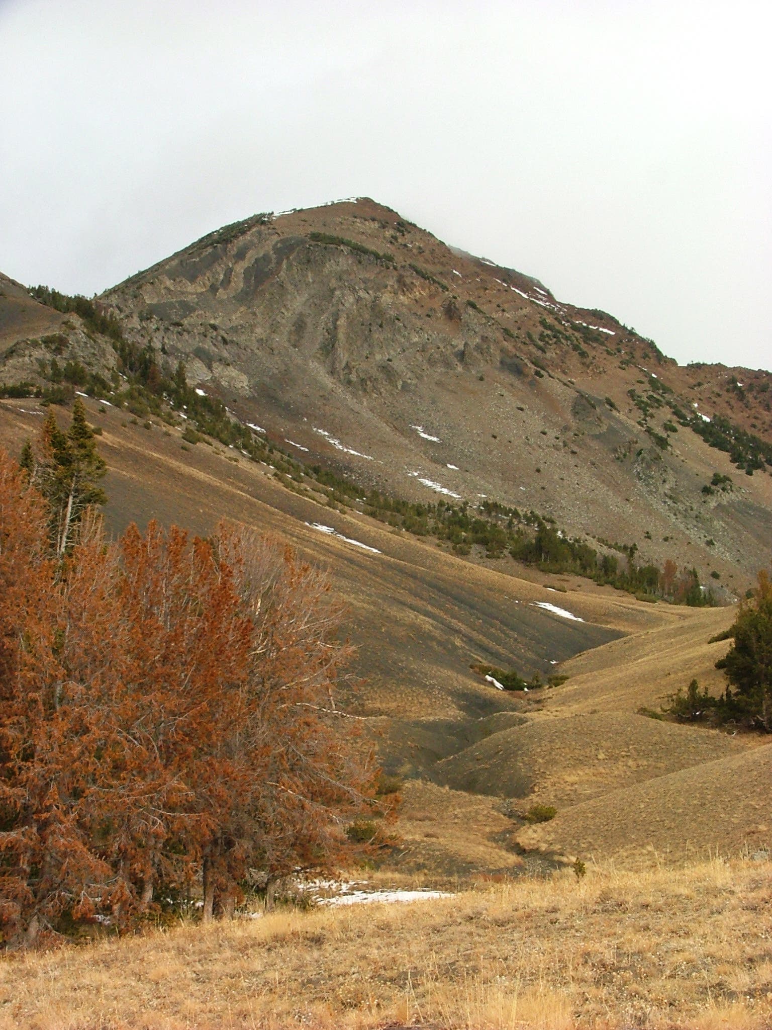
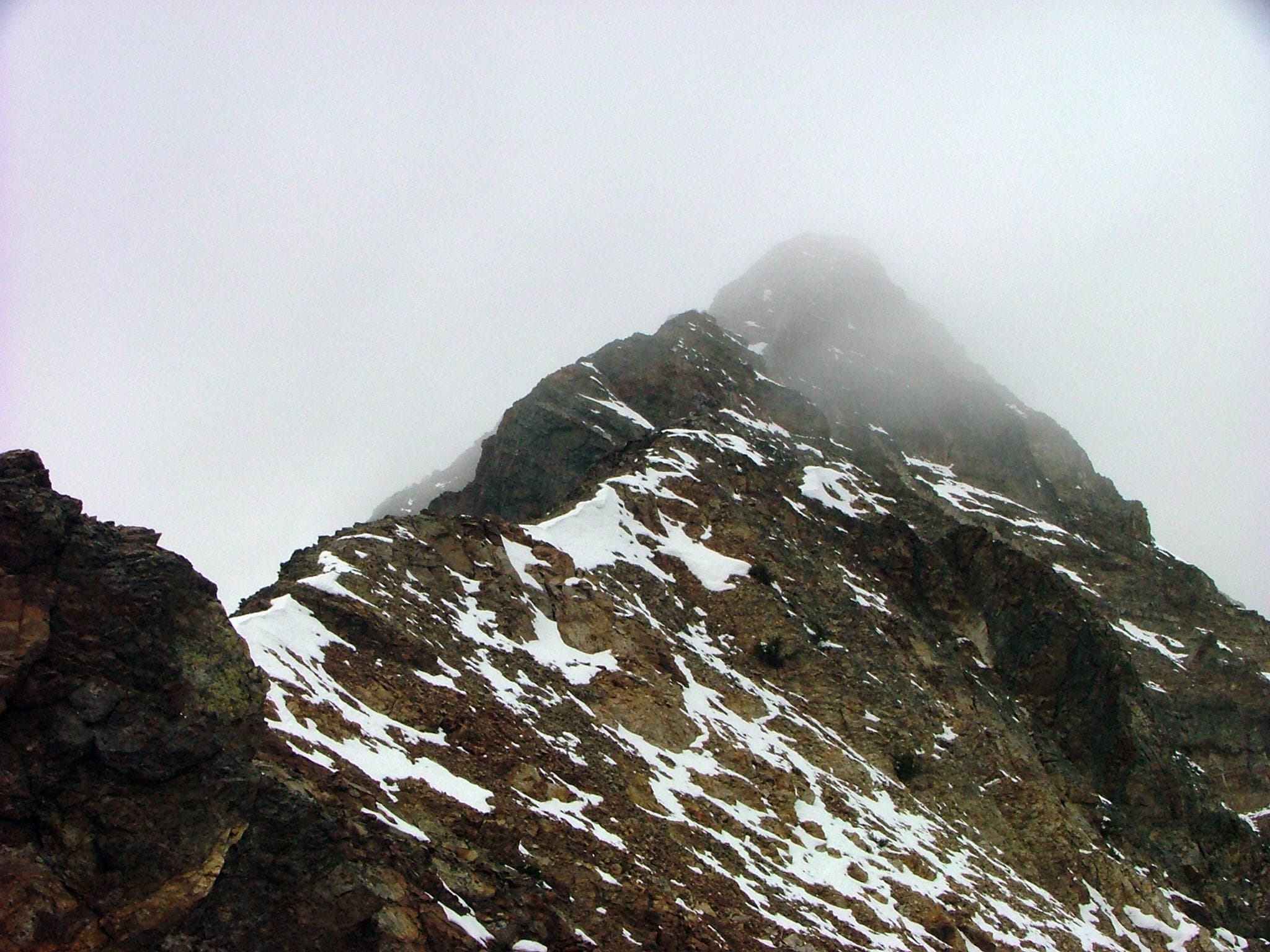
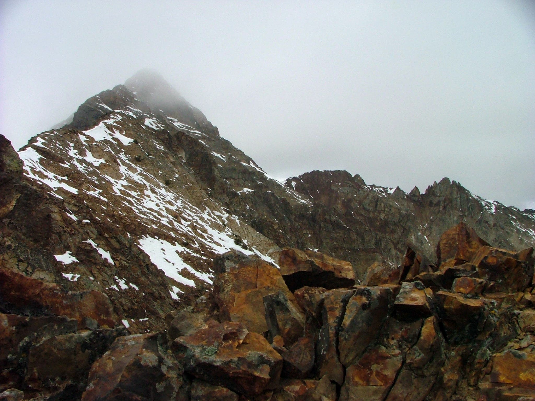
Next day: Backtrack to the 3-way junction and turn left to tackle the climb up Electric Peak. Near the summit, veer left at a noticeable notch to bypass a crumbling fin of rock and traverse the loose scree at its base. After 10.3 miles, the route crests Electric Peak. Gaze out across Yellowstone National Park; look south for views of the Tetons. Follow the same route back to the trailhead.
PERMIT: Overnight camping in Yellowstone National Park requires a backcountry permit. Check out the latest fees and more details at nps.gov/yell/planyourvisit/backcountryhiking.htm.
MORE PARK INFO: Yellowstone National Park, (307) 344-7381; nps.gov/yell/.
-Mapped by Jeff Chow


Trail Facts
- Distance: 33.2
Waypoints
ELE001
Location: 44.932162, -110.728133
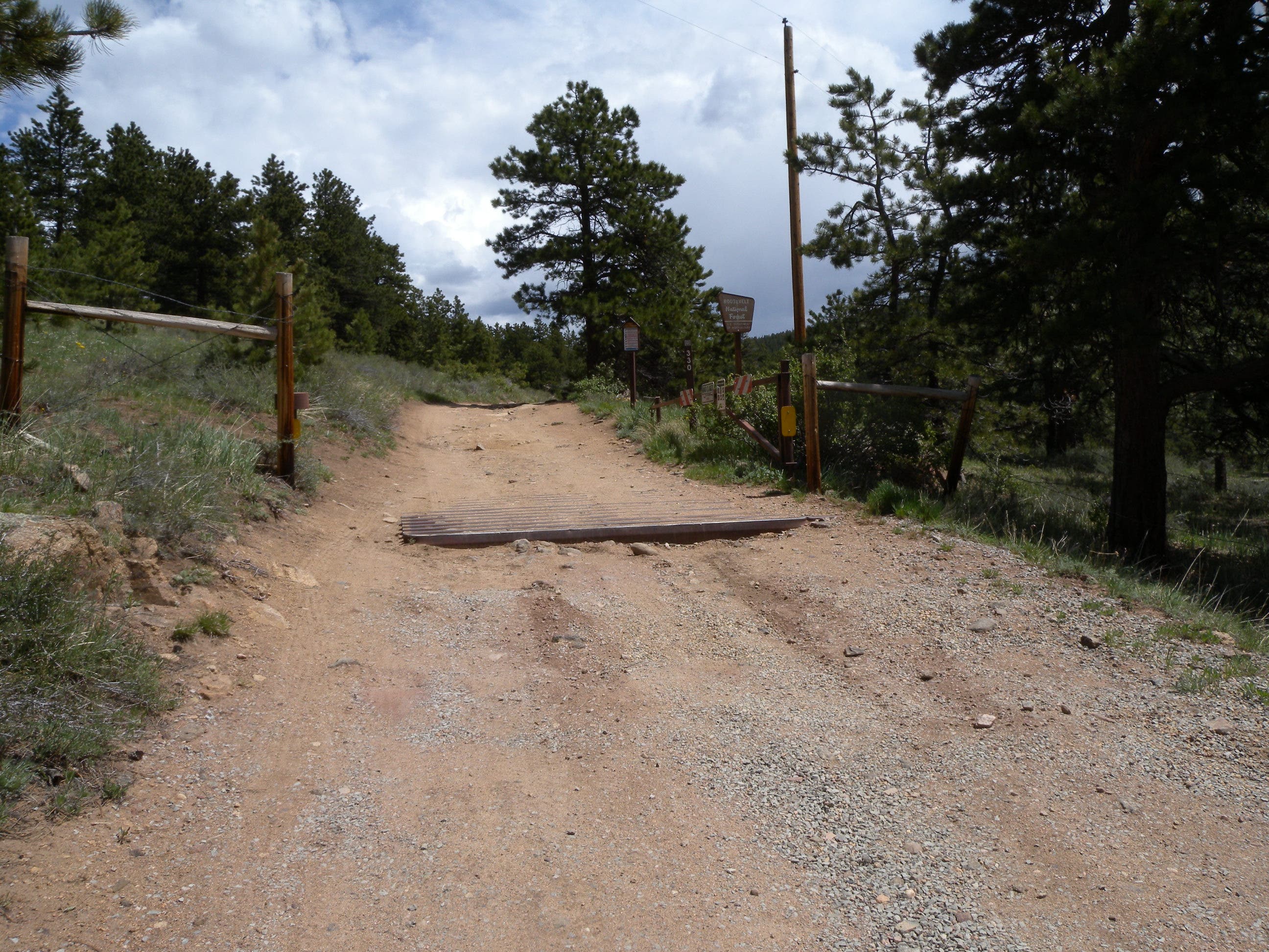
Bunsen Peak/Glen Creek Trailhead: Cross the road and follow Glen Creek to the northeast.
ELE002
Location: 44.933594, -110.731829
Continue straight at the trailhead sign and junction with Howard Eaton Trail, heading northwest. The trail travels toward the Electric Peak massif.
ELE003
Location: 44.95606, -110.74499
Stay left @ fork toward Sportsman Lake, then continue straight at the next two junctions with Snowpass Trail. Enter the Glen Creek Valley dotted by spruce as you begin the gentle climb.
ELE004
Location: 44.967116, -110.755213
Cross the small stream at the dip in the trail before reaching the junction with Sepulcher Mountain Trail. Stay left toward Sportsman Lake @ fork. Cross the meadow and enter the lodgepole pine forest.
ELE005
Location: 44.978475, -110.78845
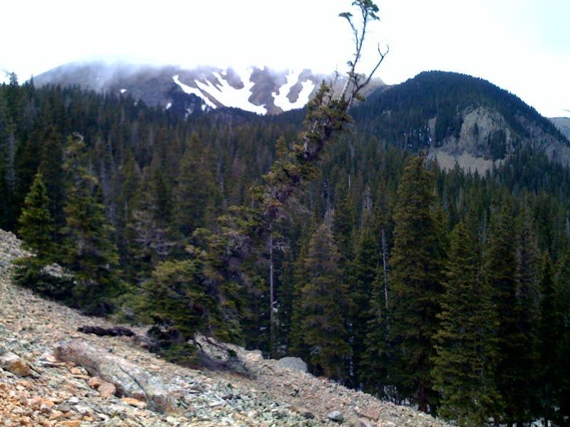
Veer away from the creek bed and enter the thick Douglas fir forest.
ELE006
Location: 44.980517, -110.792895
Stay left @ fork toward Sportsman Lake, avoiding Cache Lake.
ELE007
Location: 44.972472, -110.803857
At the junction with S.E. Electric Peak Trail, continue straight to the campsites; return here in the morning to begin your summit attempt. Heading up the mountain you will walk from forest to field and back.
ELE008
Location: 44.973199, -110.810107
1G3 campsite on the left.
ELE009
Location: 44.973394, -110.81208
1G4 campsite on the right.
ELE010
Location: 44.974521, -110.811474
The 1G4 campsite is next to a stream at the edge of a small patch of grassland.
ELE011
Location: 44.982065, -110.819006
The warm-up is over as the trail makes an abrupt turn up the steep ridge. From here on out it’s an upwards hike on the edge of grass and trees.
ELE012
Location: 44.988803, -110.823128
Pass through patchy woods before hitting the barren ridge up to the summit.
ELE013
Location: 44.990845, -110.825829
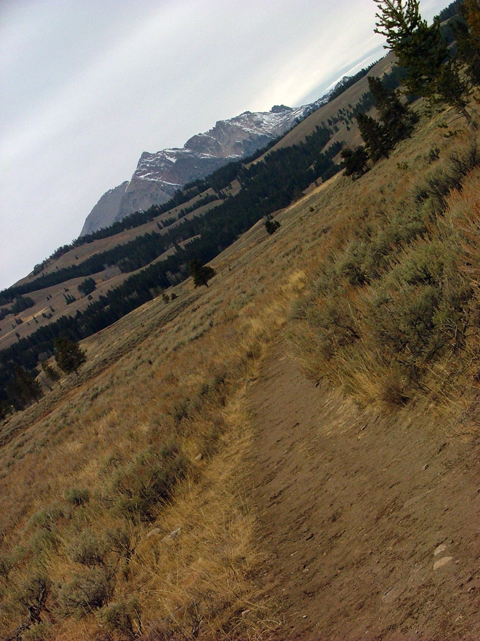
Cross over the soft, sandy soil to the next ridgeline. From here, it’s a straight shot up the peak.
ELE014
Location: 44.994858, -110.830529
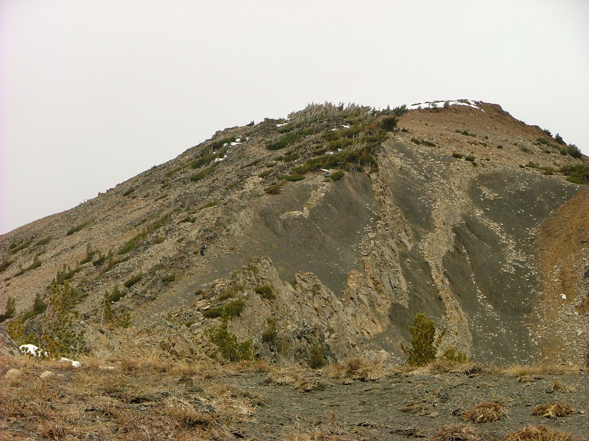
Cut left of the rock wall.
ELE015
Location: 44.997298, -110.832294
Cross the second rock wall from right to left.
ELE016
Location: 45.001114, -110.833629
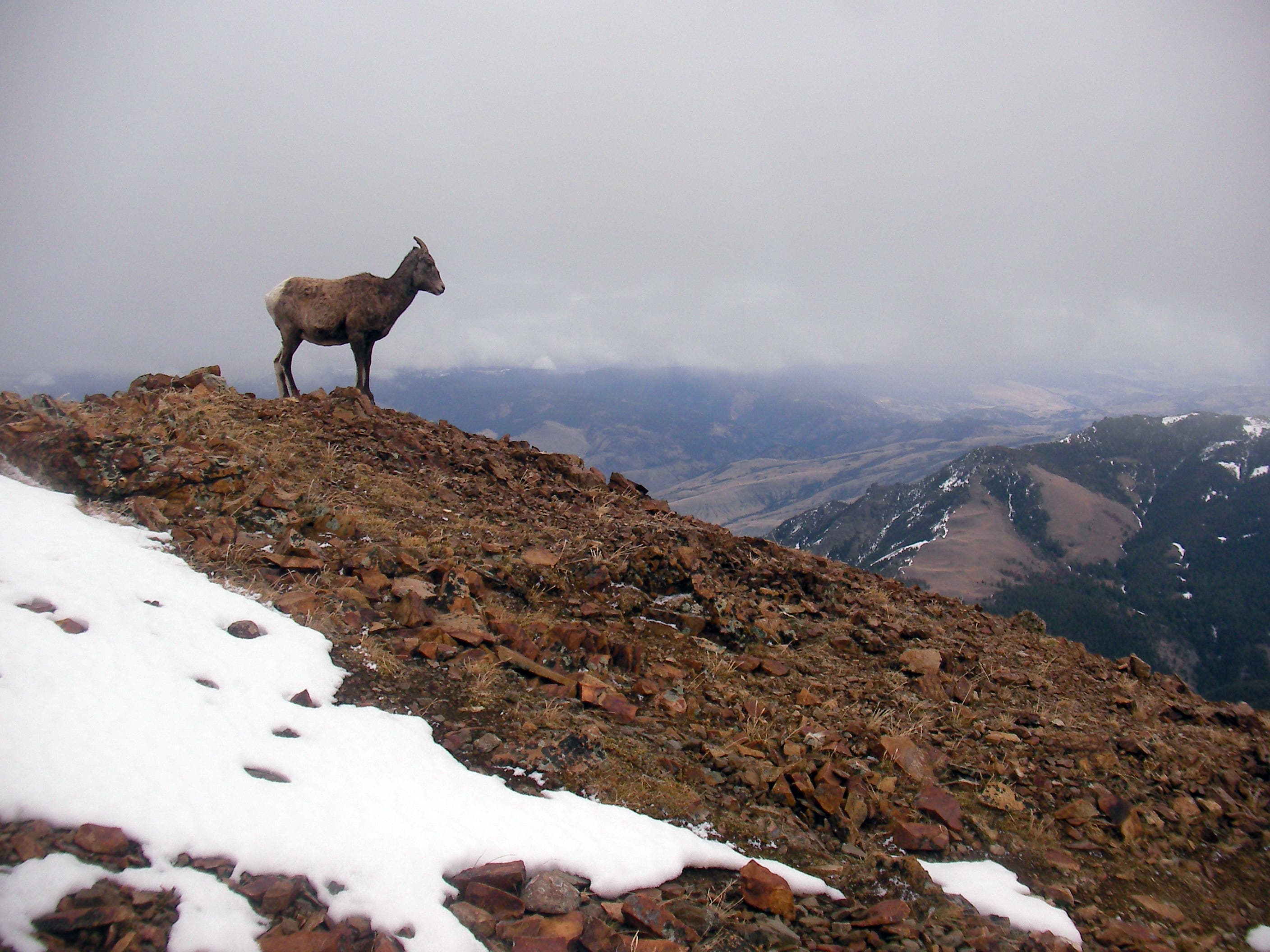
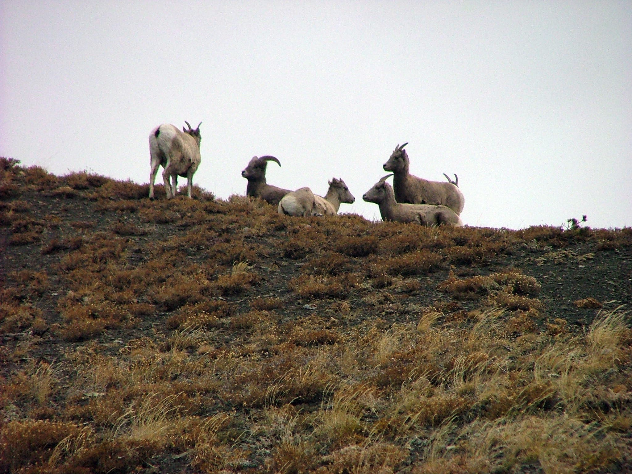
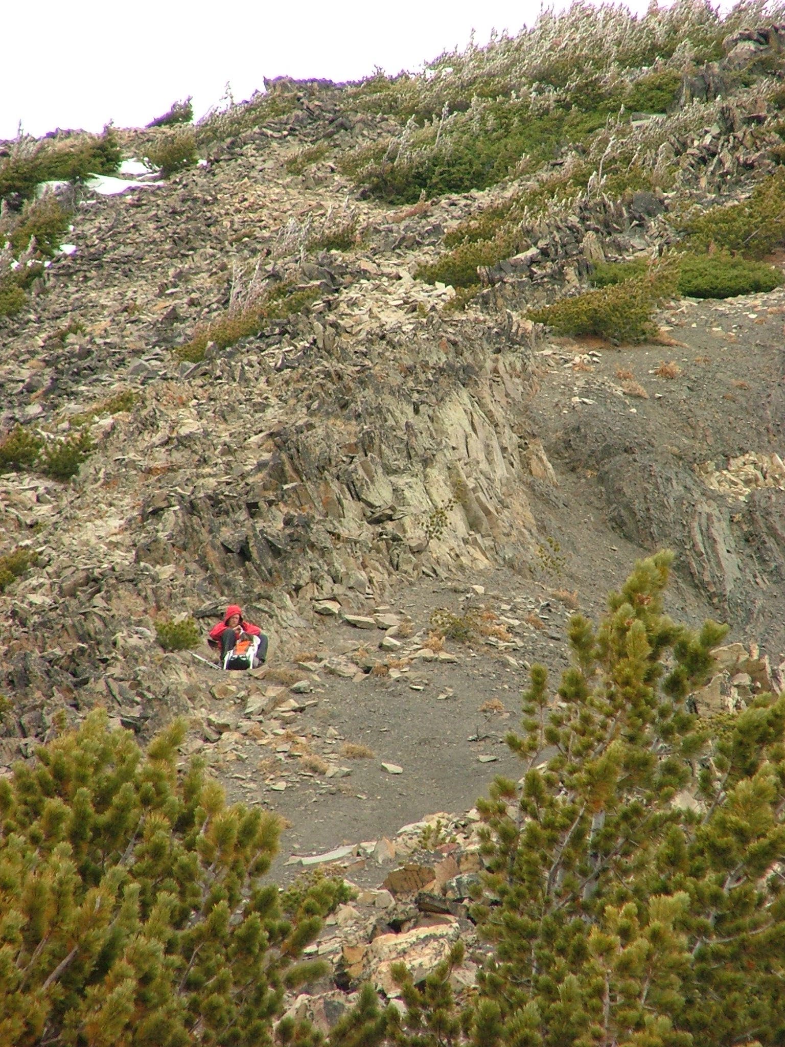
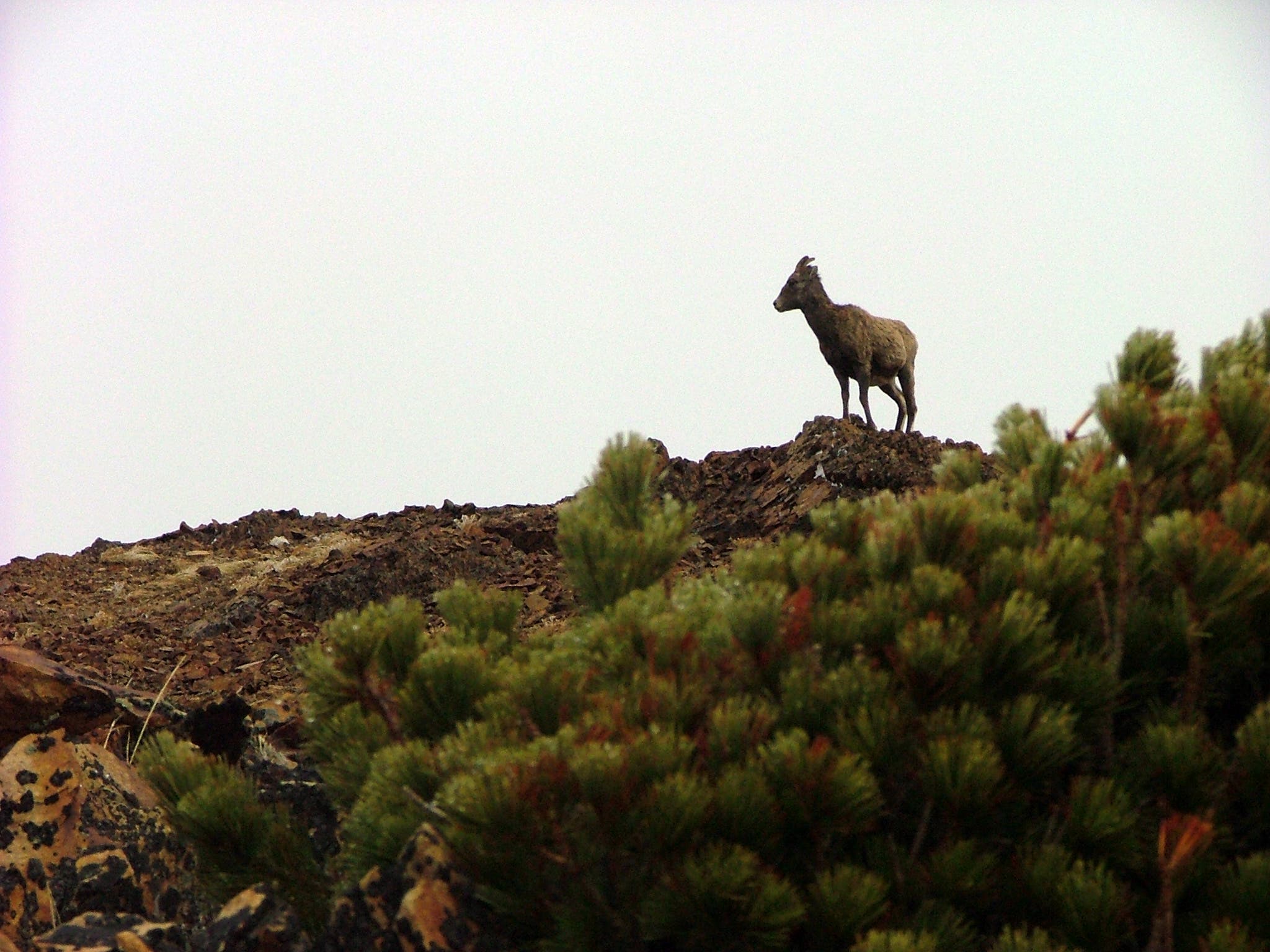
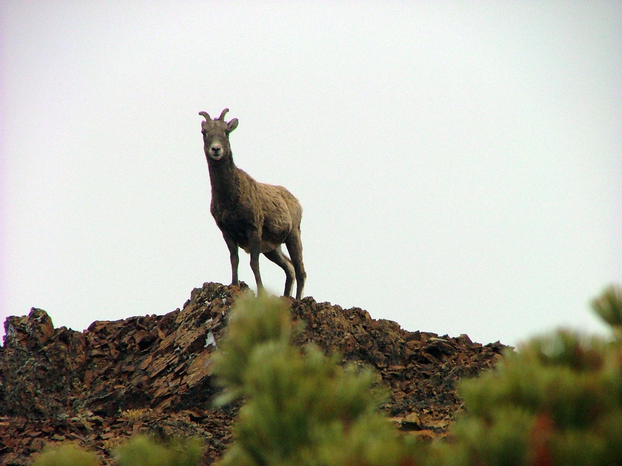
Take a short rest on this small ledge. An outcrop to the east is a popular hang-out for mountain goats.
ELE017
Location: 45.002566, -110.835088
Cross the Wyoming-Montana border.
ELE018
Location: 45.00331, -110.836086
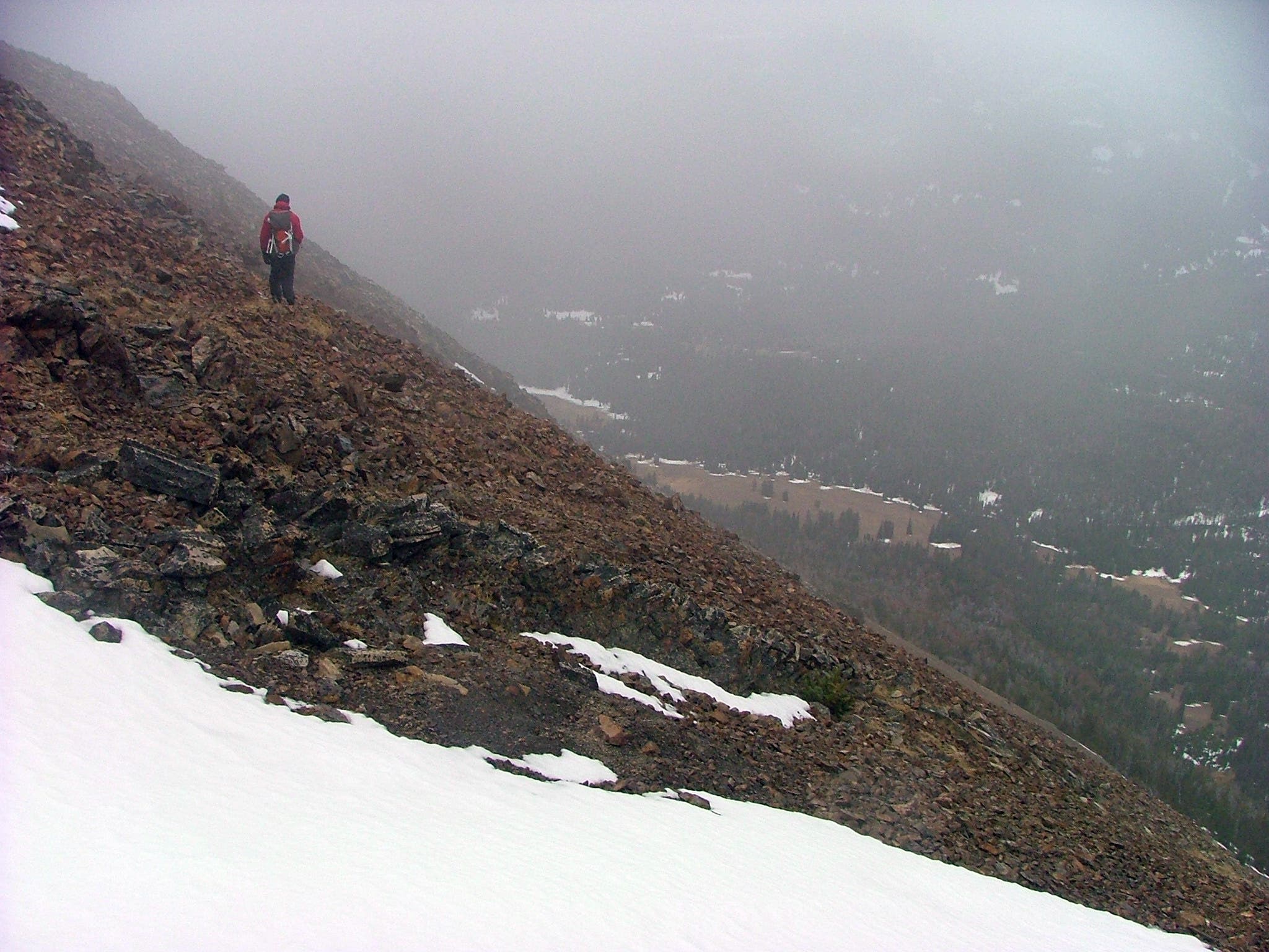
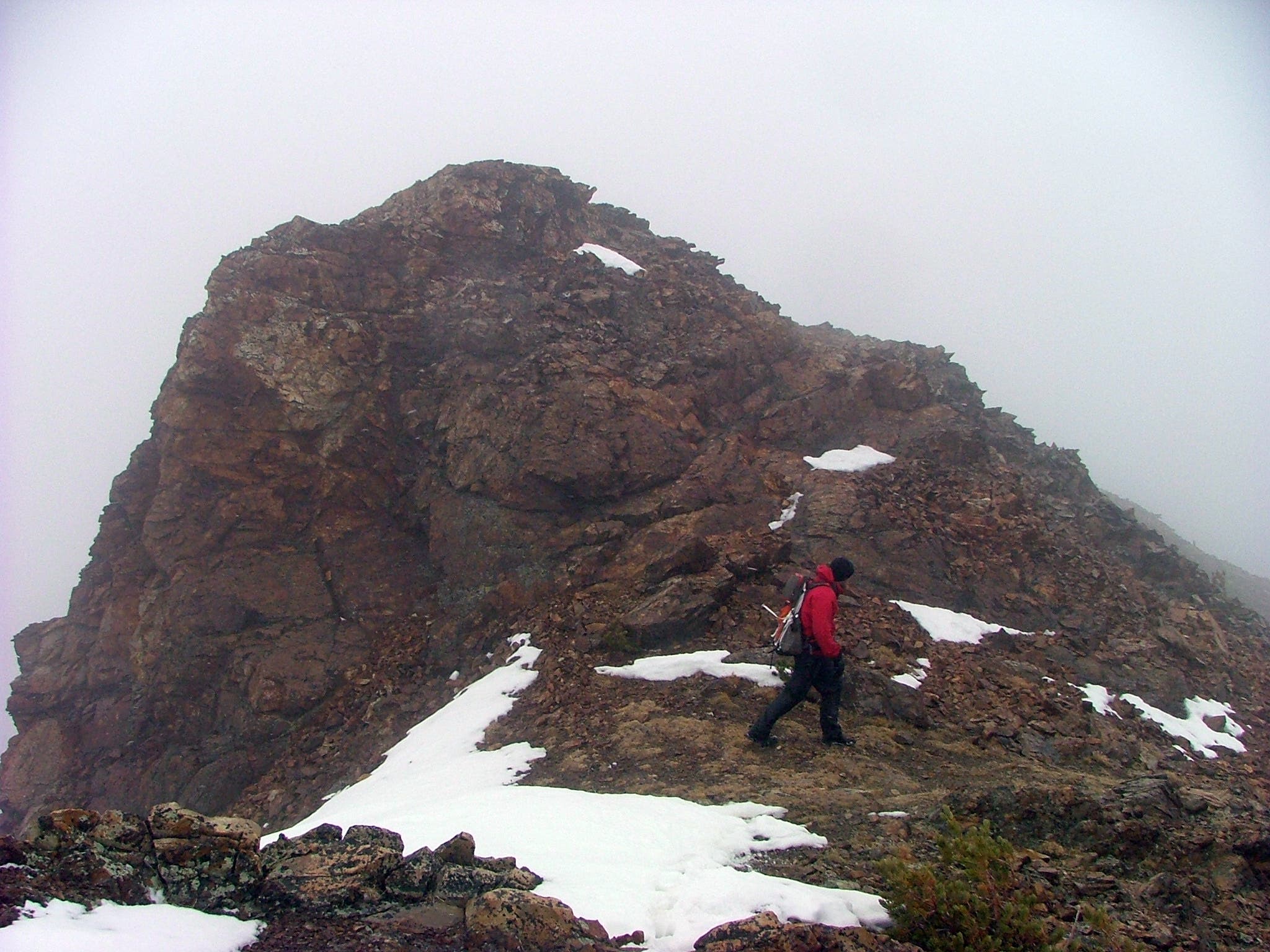
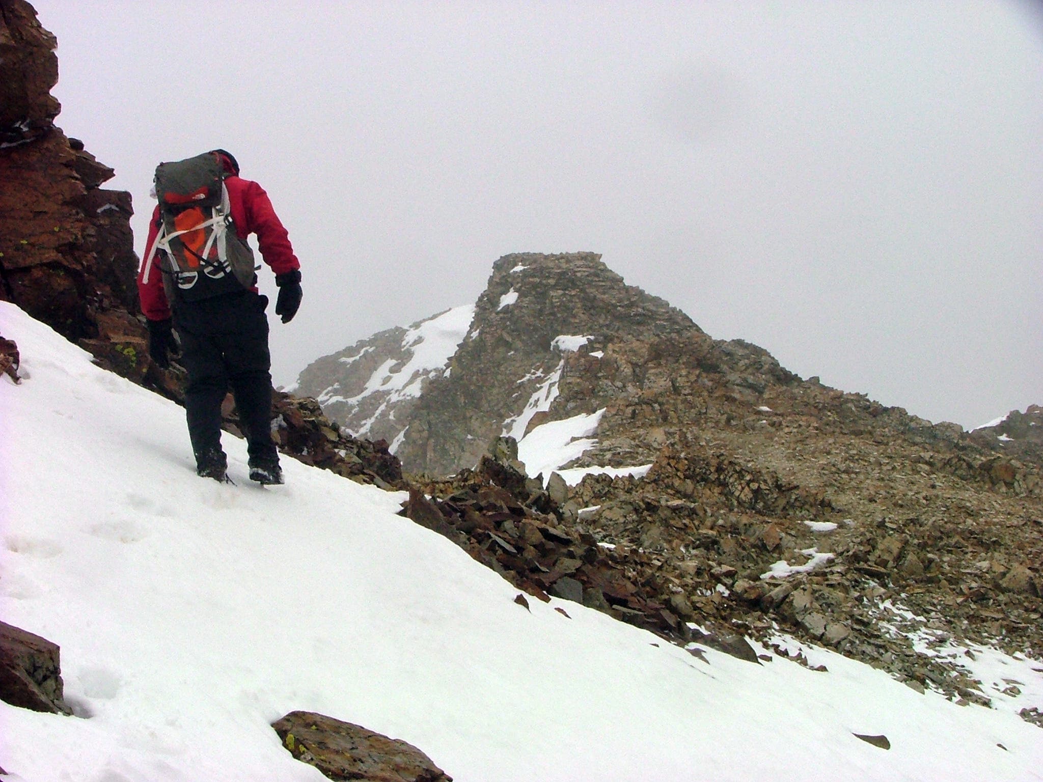
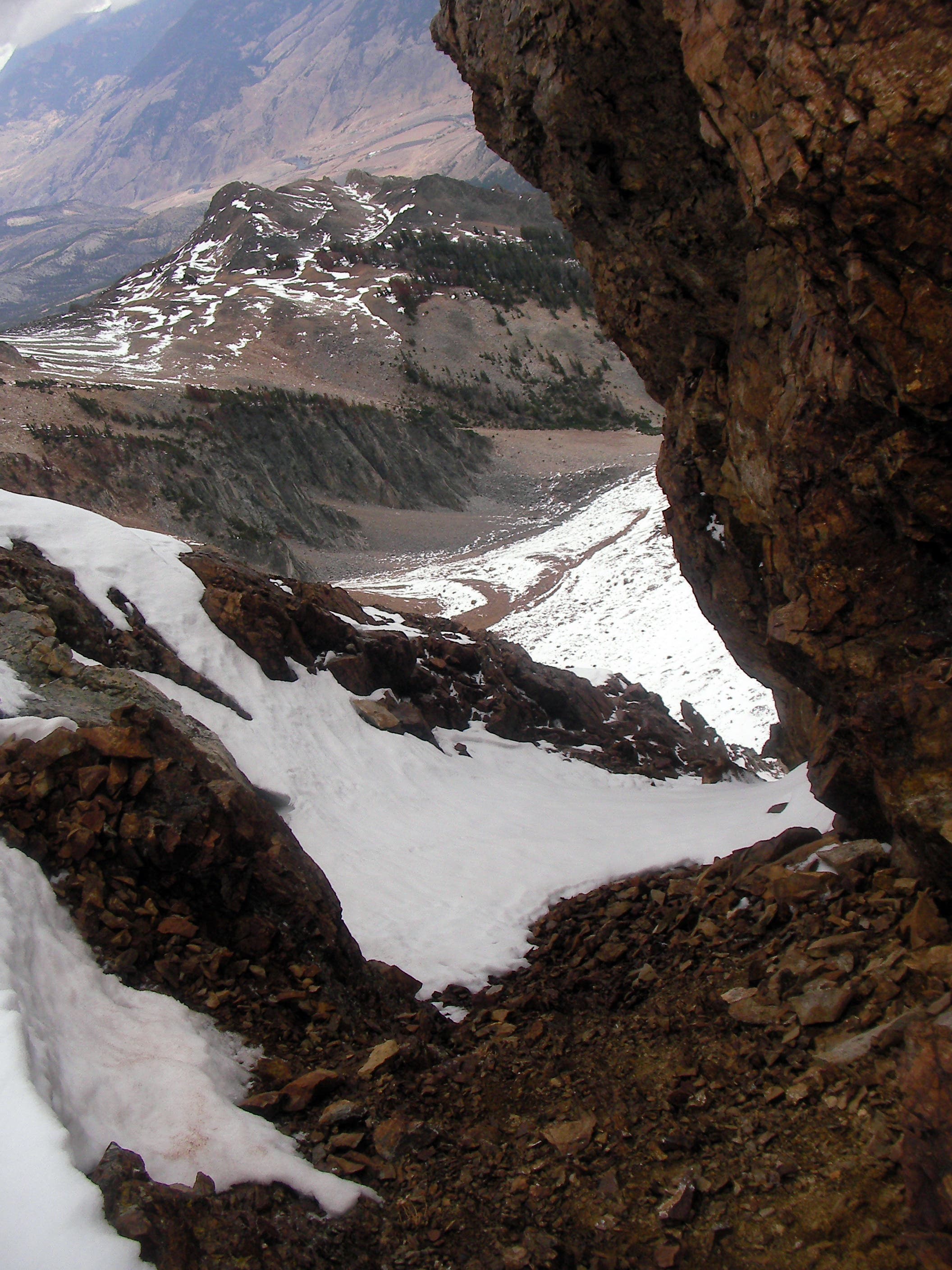
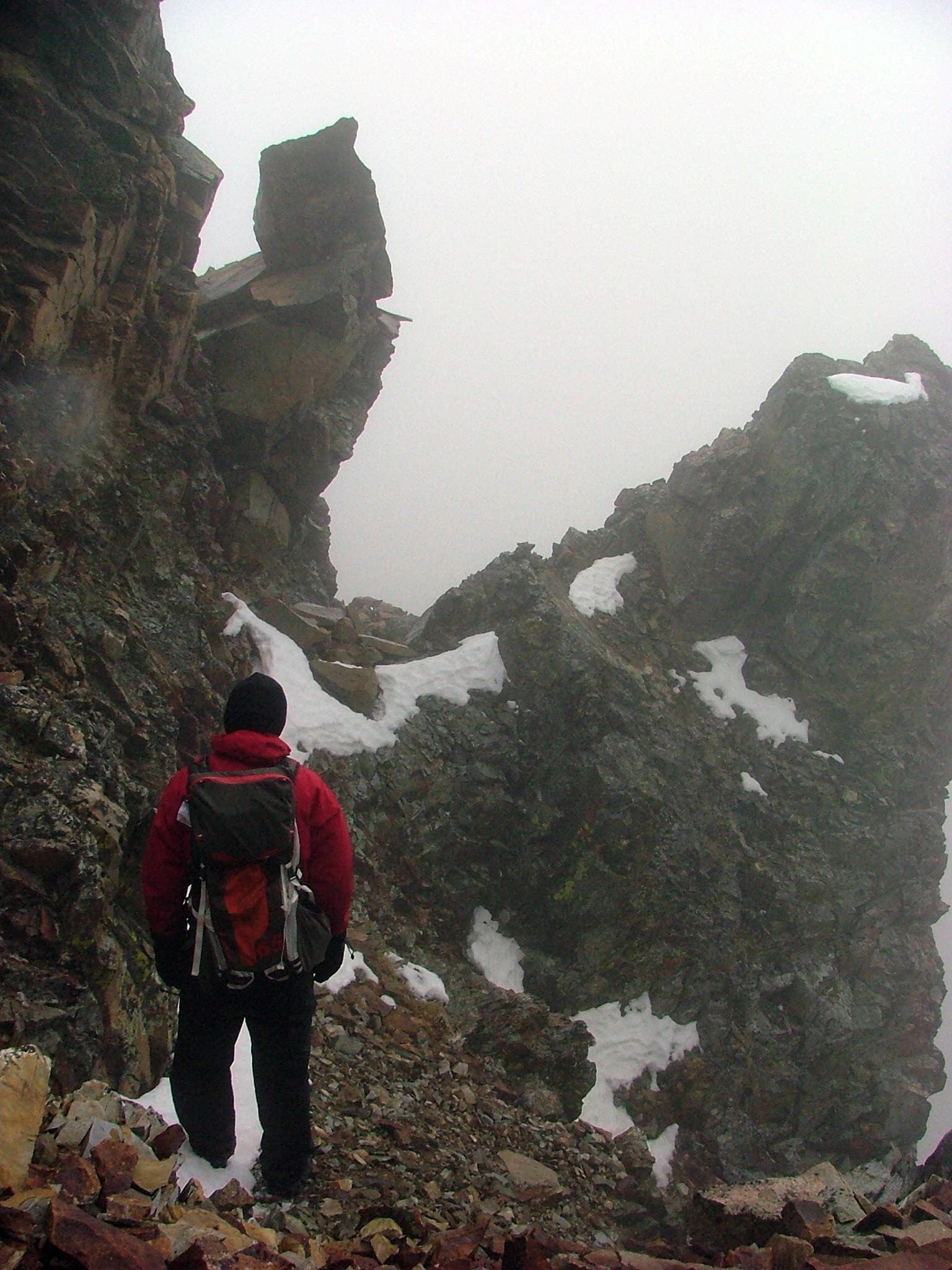
Prepare for challenging terrain ahead. Do not climb over the rock fin that towers above the route; veer left at a noticeable notch and traverse the scree field at the base of the fin.
ELE019
Location: 45.005282, -110.837556
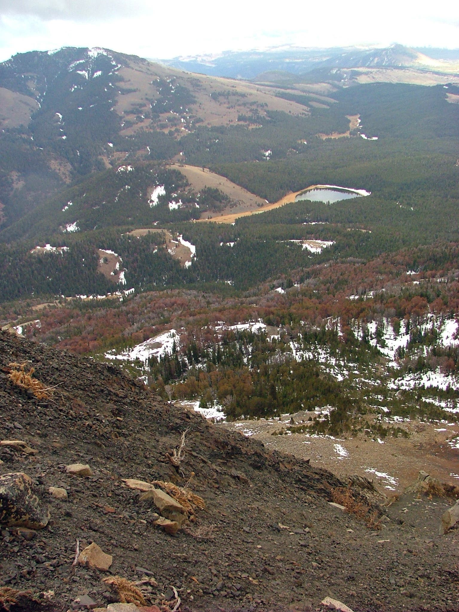
Electric Peak Summit: From this Montana summit, gaze out across Yellowstone National Park; views stretch south to the Tetons. Follow the same route back to the trailhead.
Electric Peak
Location: 45.003499, -110.836129
Trailhead
Location: 44.932162, -110.727993
The Distant Peak
Location: 44.933541, -110.731738
Traversing the Trail
Location: 44.933679, -110.731929
Plains Before Peaks
Location: 44.934507, -110.733005
Entering the Forest
Location: 44.958816, -110.747423
Sprawling Grassland
Location: 44.959173, -110.747737
Trail Sign
Location: 44.972893, -110.803053
Trail Views
Location: 44.973299, -110.808578
Campground Sign
Location: 44.973201, -110.809629
Electric Peak
Location: 44.978885, -110.811753
Misty Peak
Location: 44.979407, -110.812286
Clouds Sweep the Summit
Location: 44.984987, -110.820894
Flanked by Firs
Location: 44.988819, -110.823019
Trail Views
Location: 44.990177, -110.8251
The Approach
Location: 44.990541, -110.825658
Goat on the Slope
Location: 44.994092, -110.829735
Family Outing
Location: 44.994517, -110.830078
Foot of Electric Peak
Location: 44.99587, -110.831611
Rest
Location: 44.996672, -110.832084
Ram on the Rocks
Location: 44.996338, -110.83187
Stare Down
Location: 44.997005, -110.832181
Forest Below
Location: 44.998492, -110.832696
Fin
Location: 45.001202, -110.833503
Scaling the Scree
Location: 45.001599, -110.834219
Peak in Reach
Location: 45.001899, -110.834607
Slick Slope
Location: 45.003101, -110.835657
Misty Monolith
Location: 45.003765, -110.836236
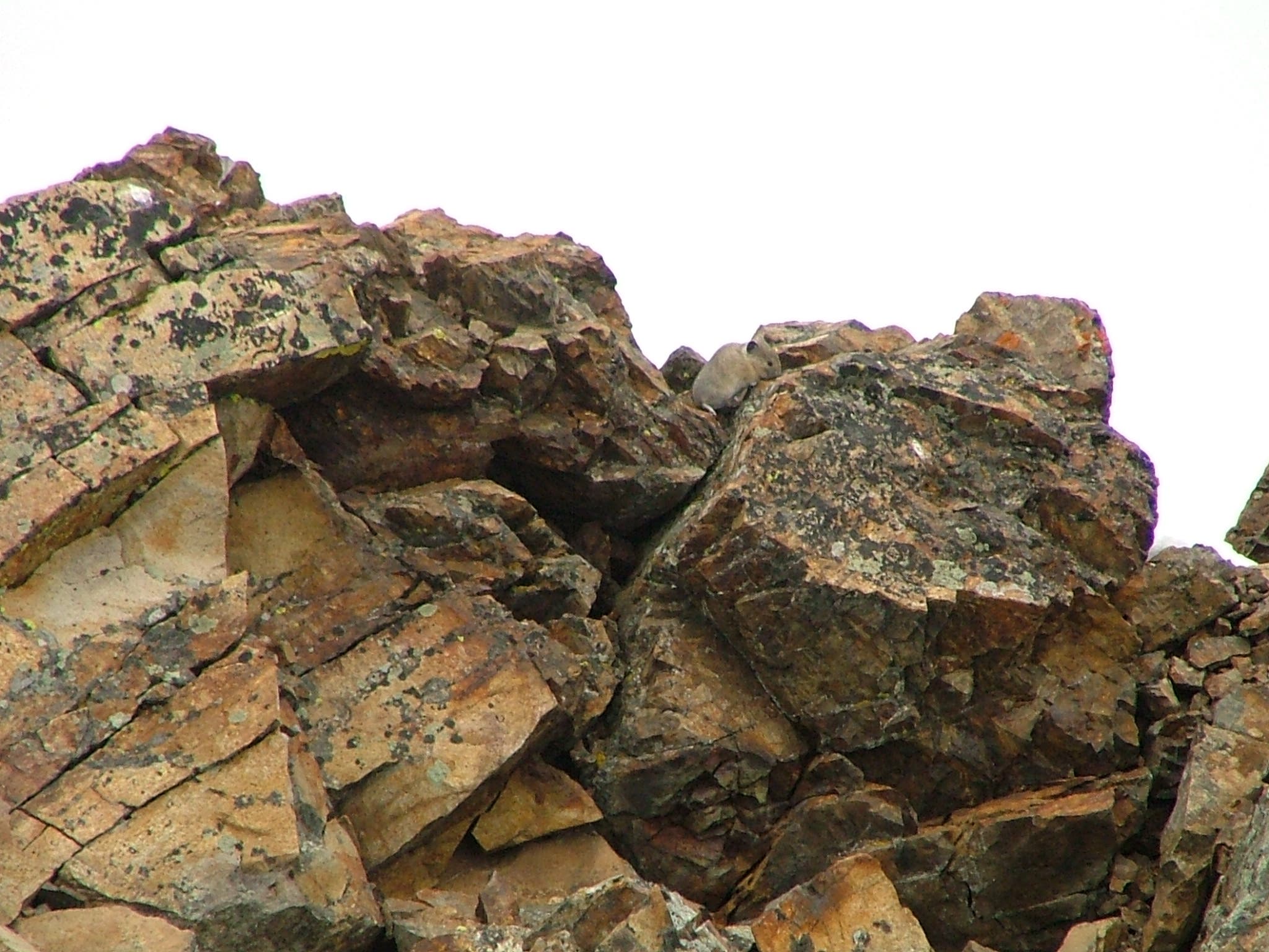
Base of Boulders
Location: 45.004129, -110.83673
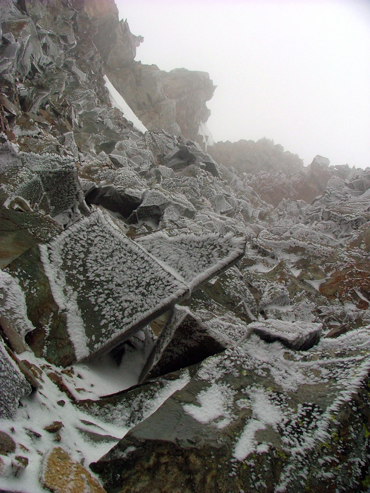
Frosted Footing
Location: 45.004387, -110.836891
Summit Views
Location: 45.005278, -110.837486
The Descent
Location: 45.004941, -110.837417
A Look Back
Location: 45.004725, -110.837224
Cloud Shroud
Location: 45.003901, -110.836387