Yellowstone National Park: Bechler River Loop

Most seasoned Yellowstone hikers and backpackers who’ve explored Bechler River country speak in terms of awe when asked about this remote, and oft-forgotten, corner of the park. Set aside a weekend (or a day) and venture into these far reaches of southwest Yellowstone to escape the crowds and hang with bugling bull elk and howling gray wolves.
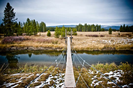
From the Bechler River Ranger Station, hike northeast on the well-used path for a flat stroll through shaded forest and marshy meadows. After 3.4 miles, set up camp at the park-authorized sites, then take a brief side trip to a narrow suspension bridge that hangs above Boundary Creek. Bechler Meadows, a vast stretch of open country, extends to the north. (The best time to visit Bechler Meadows is late summer or fall due to spring runoff.) The next day, spend some quality time along the Bechler River’s tranquil waters before leaving the river near mile 7 for the 1.6-mile stretch back to Waypoint 2 and the trailhead.
PERMIT: Overnight camping in Yellowstone National Park requires a backcountry permit. Check out the latest fees and more details at nps.gov/yell/planyourvisit/backcountryhiking.htm.
MORE PARK INFO: Yellowstone National Park, (307) 344-7381; nps.gov/yell/.
-Mapped by Jason Kauffman
Trail Facts
- Distance: 13.8
Waypoints
BEC001
Location: 44.149206, -111.046286
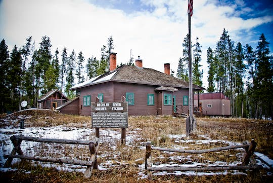
From the historic Bechler River Ranger Station, hike northeast on the well-used path past the horse corrals.
BEC002
Location: 44.150533, -111.044746
Turn left @ Y-junction. The path quickly leaves the ranger station behind as the forest of lodgepole pine closes in.
BEC003
Location: 44.167788, -111.032054
Stay right @ Y-junction. Watch the marshy meadow to the west for wildlife.
BEC004
Location: 44.182635, -111.007812
Continue straight @ 3-way intersection and take a short detour north to the suspension bridge over Boundary Creek. Park-authorized campsites are located next to the creek.
BEC005
Location: 44.186574, -111.00469
Look across the narrow suspension bridge that hangs above Boundary Creek. Bechler Meadows, a vast stretch of open country, extends to the north. Next, return to Waypoint 4 and turn left @ 3-way junction.
BEC006
Location: 44.177657, -111.00175
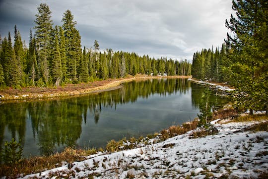
Turn left to enjoy a leisurely break along the banks of Bechler River’s tranquil waters.
BEC007
Location: 44.174744, -110.998279
Bear right at the turnoff for the challenging Rocky Ford of the Bechler River.
BEC008
Location: 44.156204, -111.014233
Turn right @ Y-junction. Keep an eye on the sky for bald eagles, osprey, and other avian inhabitants of the Bechler River. In 1.6 miles, continue straight at Waypoint 2 and return to the trailhead.
Bechler River Ranger Station
Location: 44.149322, -111.04613
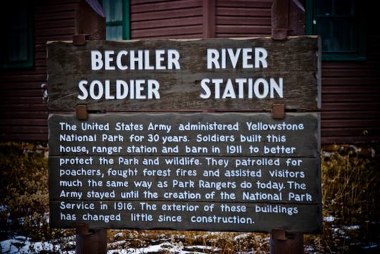
In the early years of Yellowstone National Park, the U.S. Army was in charge of the park. Some of the soldiers were based out of the historic Bechler River Ranger Station, then known as Bechler River Soldier Station.
Yellowstone’s Early Days
Location: 44.149307, -111.046044
History of the Bechler River Soldier Station.
Bechler River Country
Location: 44.185204, -111.00498
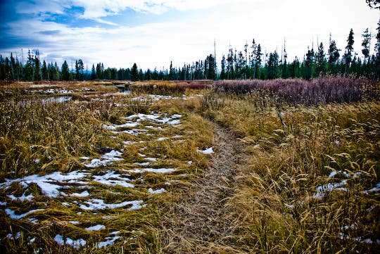
Compared to the rest of the park, the remote corners of Yellowstone’s grand Bechler River country see virtually no human use. The area’s superb wildlife habitat is mostly left to the elk, wolves, moose, and grizzly bears.
Boundary Creek Bridge
Location: 44.186574, -111.004583
Looking north over Boundary Creek into the vast Bechler Meadows region.
Bechler River
Location: 44.177791, -111.001533
Nice break spot along the silent waters of the Bechler River.
Snowy Forests
Location: 44.171689, -110.996152
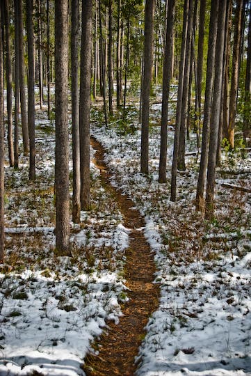
Much of the Bechler Loop passes through dense stands of lodgepole pine trees.
Paralleling the Bechler
Location: 44.166949, -110.995914
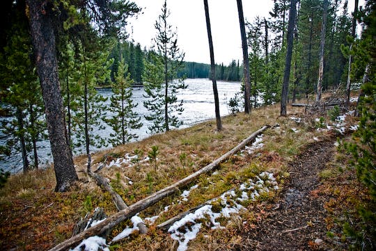
Slow-moving backcountry waterways like the Bechler River are something of a rarity in the West’s rugged wild spaces.
October in Yellowstone
Location: 44.152059, -111.037413
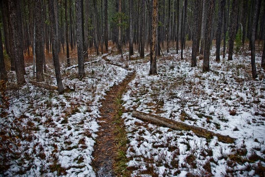
Passing through thick lodgepole pine near the end of the Bechler Loop. Snow can come early to high and wild Yellowstone National Park.