Yellowstone National Park: Avalanche Peak

Fragrant conifer forests, expansive scree fields, and gurgling streams pepper this challenging 4.6-mile out-and-back to the top of Avalanche Peak. The climb starts right from the trailhead, ascending through a dense forest of lodgepole pine and spruce while paralleling a bubbling stream. Keep an eye out for deer and elk that seek cover in the woods.
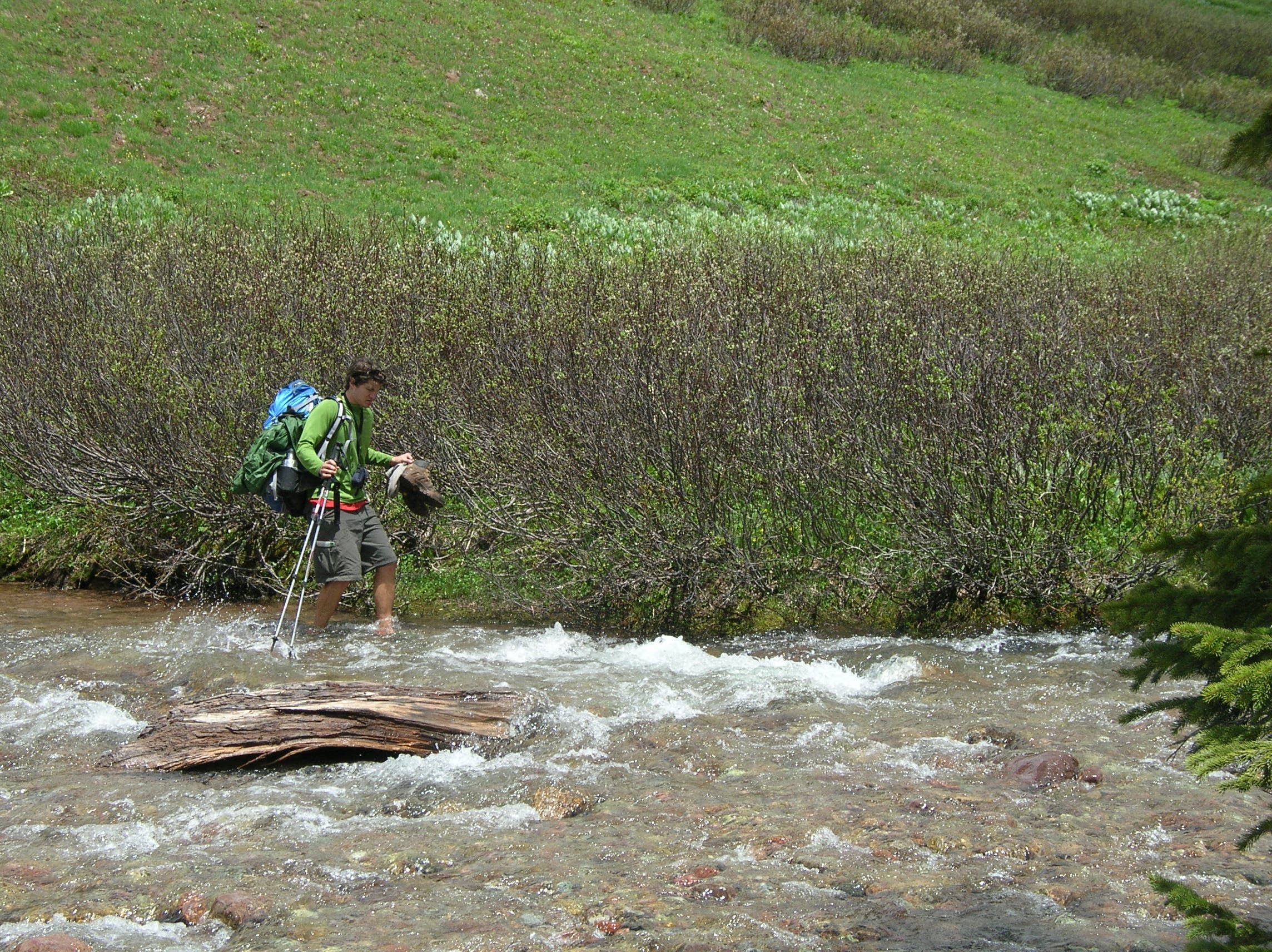
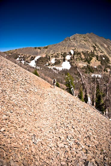
After 0.7 mile, cross a cascading alpine stream, then climb north up the drainage to a picturesque alpine basin dotted with wildflower-filled meadows and sub-alpine forests. Less than a mile later, the trail cuts across steep scree slopes, where the first clear views of Avalanche Peak are revealed to the northwest.
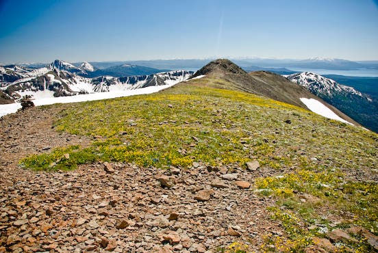
Crest Avalanche Peak’s broad, flower-dotted summit at mile 2.3, and take in bird’s-eye views of Yellowstone Lake and the surrounding Absaroka Range (several rock shelters provide a respite from the near-constant wind). Follow the same route back to your car.
GUIDEBOOK AND MAP Yellowstone Treasures, by Janet Chapple ($24, yellowstonetreasures.com)
CONDITIONS For current conditions and updates, go to nps.gov/yell/conditions.htm.
PERMIT Overnight camping in Yellowstone National Park requires a backcountry permit. Check out the latest fees and more details at nps.gov/yell/planyourvisit/backcountryhiking.htm.
MORE PARK INFO Yellowstone National Park, (307) 344-7381; nps.gov/yell/
FREE TRIP PLANNERS Get news on vacation deals and lodging at myyellowstonepark.com
-Mapped by Jason Kauffman
Trail Facts
- Distance: 3.7
Waypoints
AVY001
Location: 44.470591, -110.142905
Leaving the highway and trailhead behind, the trail immediately begins a steep climb through a dense forest of lodgepole pine and spruce.
AVY002
Location: 44.472018, -110.142906
Follow the main path as it parallels a small, bubbling stream through the conifer forest. Watch for deer and elk that seek cover in these woods.
AVY003
Location: 44.476159, -110.137865
Cross the first of two small streams, which are good water sources along this mostly dry hike.
AVY004
Location: 44.477827, -110.137282
Cross a cascading alpine stream (stay on the main path to avoid trampling the delicate riparian vegetation). The trail climbs straight up the drainage, heading north.
AVY005
Location: 44.482198, -110.13542
Enter a picturesque alpine basin dotted with wildflower-filled meadows, sub-alpine forests, and wildlife. Keep left as the trail begins climbing steeply again.
AVY006
Location: 44.4817, -110.140714
The trail emerges from the forest into the open. Enjoy the expansive views as the trail traverses west across steep scree slopes.
AVY007
Location: 44.483109, -110.142034
The first clear views of Avalanche Peak are revealed to the northwest. Continue hiking across rolling uplands dotted with whitebark pine trees bent by the wind.
AVY008
Location: 44.484781, -110.14369
Continue the steep climb toward the summit (not visible from this point). Look for the low-growing wildflowers stunted by the high-altitude conditions. Ahead: You’ll crest the summit ridge in 0.1 mile.
AVY009
Location: 44.48948, -110.140027
Crest Avalanche Peak’s broad summit. Several rock shelters on the flower-dotted summit provide an excellent break from the near-constant wind. Take in expansive views of Yellowstone Lake and the surrounding wind-swept Absaroka Range before retracing the route to your car.
Avalanche Peak
Location: 44.489495, -110.139699
Looking southwest from the summit of Avalanche Peak, Yellowstone Lake and much of central and southern Yellowstone National Park are visible. ©Jason Kauffman
Stream Crossing
Location: 44.476115, -110.137639
Trail crosses an unnamed stream cascading off of Avalanche Peak. ©Jason Kauffman
Smiling Chipmunk
Location: 44.482208, -110.136523
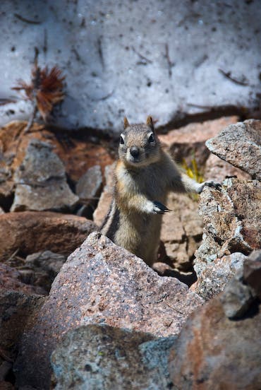
A chipmunk smiles from a boulder field in an alpine basin. ©Jason Kauffman
Scree Slopes
Location: 44.48178, -110.142016
Hiking through the scree-covered upper slopes of Avalanche Peak. ©Jason Kauffman
Hoyt Peak
Location: 44.487505, -110.141974
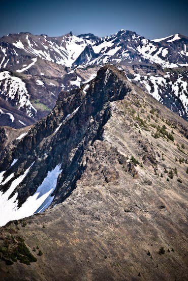
Looking southeast from the broad summit of Avalanche Peak provides amazing views of Hoyt Peak and the expansive Absaroka Range beyond. ©Jason Kauffman
Mule Deer
Location: 44.47391, -110.140257
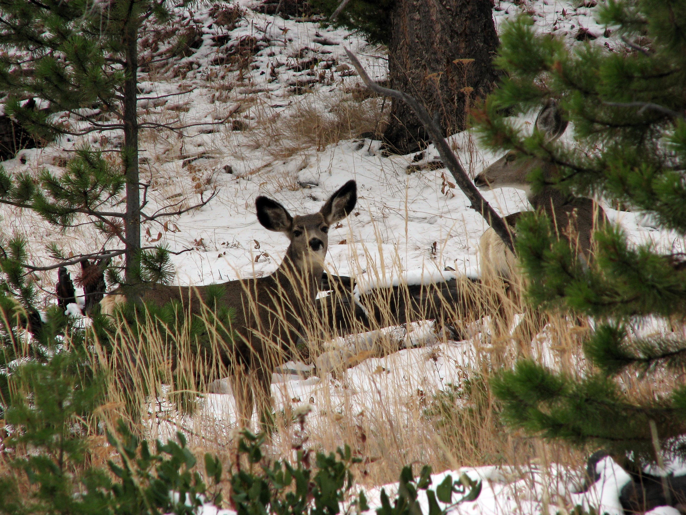
A mule deer doe watches cautiously from the dense conifer forests gracing Avalanche Peak’s lower slopes. ©Jason Kauffman