Yellow Creek, PA: Damsite Trail

This easy 3.2-mile loop through Yellow Creek State Park is a welcoming hike for all ages, especially bird-lovers. With the 720-acre Yellow Creek Lake as a dramatic backdrop, eyes should not only be focused on the glassy sea, but also peeled for Warblers, as well as Northern Pintail, Great Blue Heron, and migrating Tundra Swan that frequently arrive in flocks of hundreds. Other highlights include an overlook near the massive 1960s-era dam, as well as excellent picnic spots along the way. This hike is ideal for a day outside of the city, exploring Pennsylvania’s outdoor wonders — some manmade and others perfectly natural.
Starting at the primitive trailhead at the end of Hoffman Road, east of the park’s main day-use area, this mapped route follows the loop trail’s more difficult and rolling west side. Skip the user-created cut-off headed right at mile 0.4 and continue north scaling the gentle hillside and looking to the treetops for Red-Eyed Vireo, Louisiana Waterthrush, and several Warbler species that frequent the park, especially in summer.
At mile 1.1 you’ll hit another user-created link trail where this mapped route bears right to join the loop’s east side for the final .4-mile. The trail ends at a flat, open overlook which peeks into the dam’s spillway. The return trip follows the loop’s east side alongside the lakeshore, offering views of the marshlands and the Seph Mack Boy Scout camp on the lake’s north side.
After this family-friendly hike—do it as a loop, a loop combo like this mapped route, or stick to the loop’s east side for the easiest hike—consider cooling off at the park’s 800-foot beach or with a picnic at one of its many picnic shelters.
INFO: Yellow Creek State Park, (724) 357-7913; dcnr.state.pa.us/stateparks/parks/yellowcreek.aspx
-Mapped by Ed Novak


Trail Facts
- Distance: 5.2
Waypoints
YCD001
Location: 40.571733, -79.040062
Begin by following the Damsite Trail’s west branch from the primitive trailhead parking lot.
YCD002
Location: 40.575907, -79.046202
Skip the user-created trails, like this one at mile 0.4, that link the loop’s east and west sides. Continuing north, the trail dips into a ravine and rolls alongside the forested hills.
YCD003
Location: 40.581188, -79.050107
The trail’s high point at mile .9 on the loop’s west side is about 200 feet above the trailhead. If you prefer an easier hike, stick to the east side which follows the lakeshore and skips this elevation gain.
YCD004
Location: 40.584447, -79.050165
At this junction at mile 1.1, this mapped route bears right to transfer to the easier eastern side of the loop. You could also bear left and follow the trail uphill before it drops to the same trail end-point.
YCD005
Location: 40.589487, -79.053902
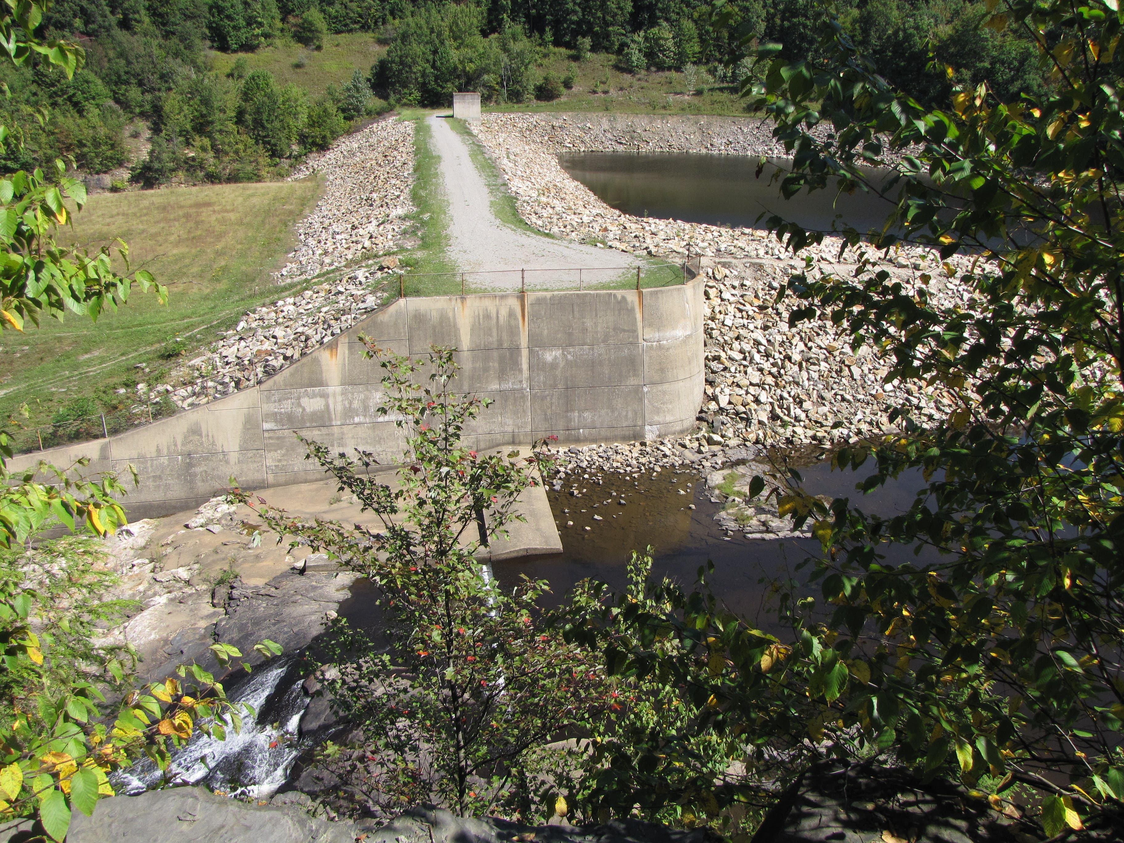
The trail’s apex is this open overlook above the Yellow Creek Lake Dam and spillway. The dam, constructed in 1969, is at the western edge of the 720-acre lake it creates.
YDC006
Location: 40.583844, -79.050107
After backtracking along the loop’s east side from the dam, stay left and continue following the loop’s east side as it rolls along hills adjacent to the lake.
YDC007
Location: 40.57365, -79.0391
Near the end of the trail, there’s a short north-bound detour to the lake itself. Detour for the marsh view before turning south along this old stretch of road that leads back to the trailhead parking area.
Dam
Location: 40.589547, -79.053776
A view of the earth and rock Yellow Creek Lake Dam, built in 1969, from the trail-end overlook.
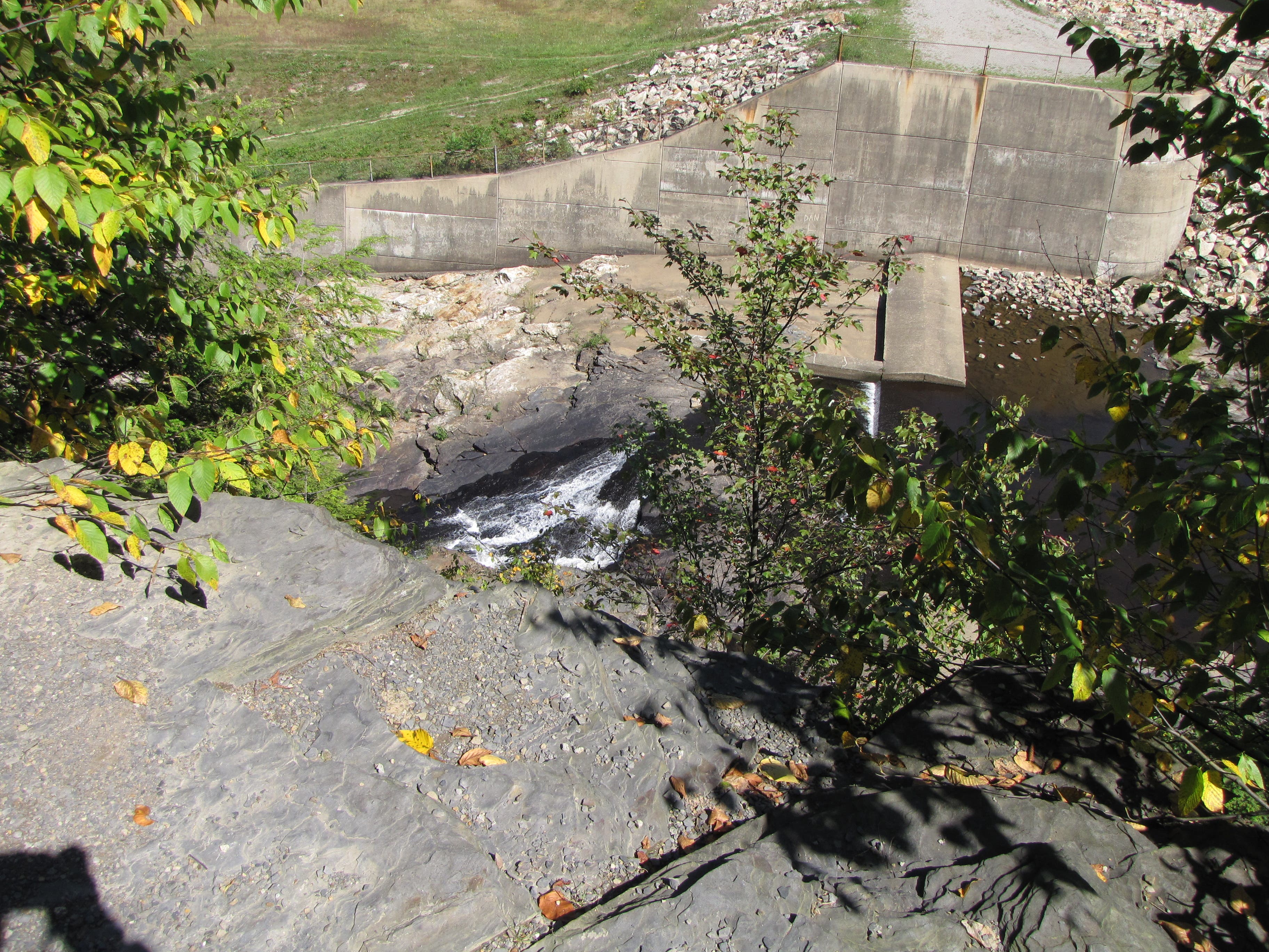
Spillway
Location: 40.589564, -79.053798
A closer view of the dam’s spillway.
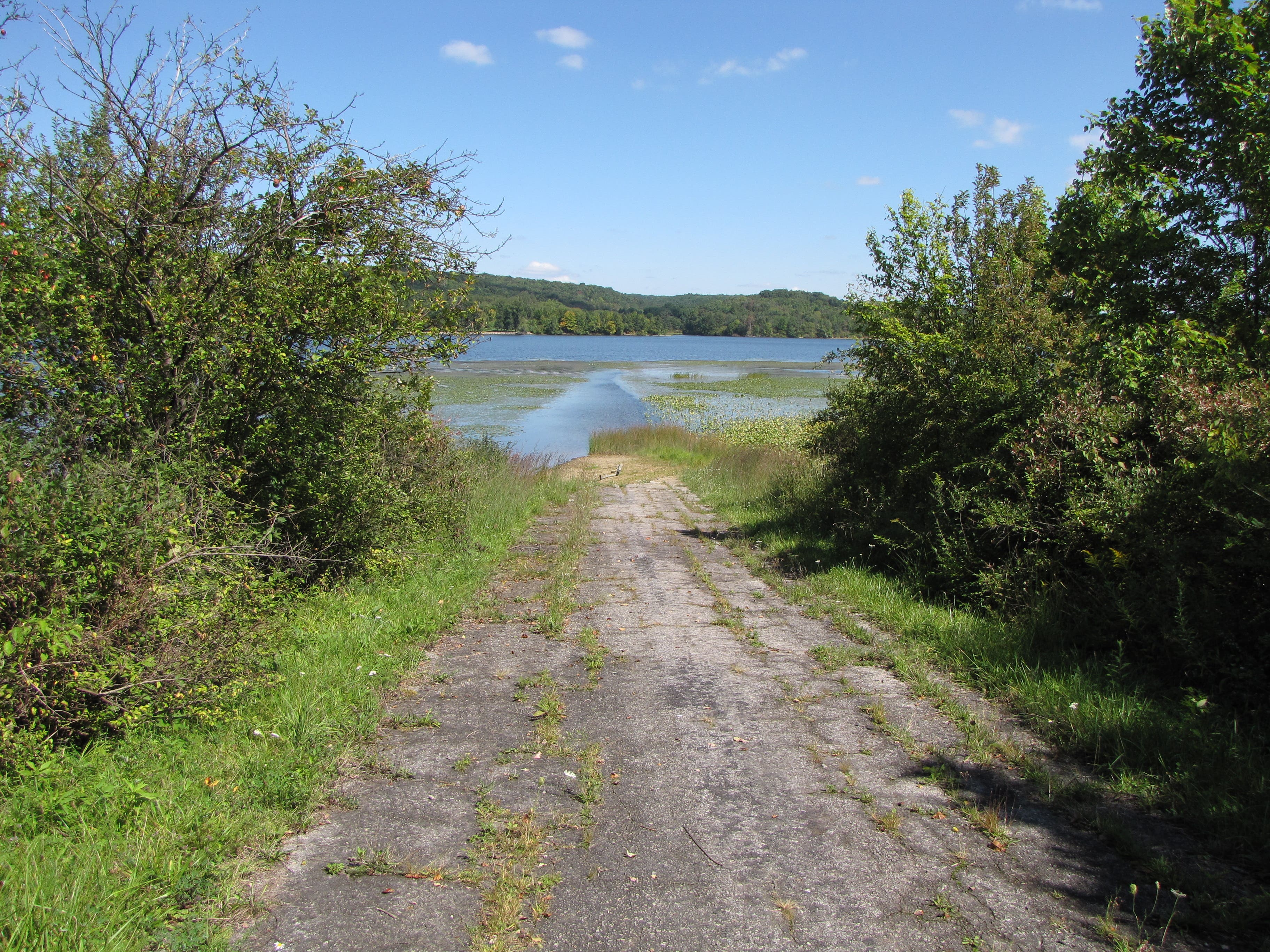
Detour
Location: 40.573479, -79.039249
An old extension of Hoffman Road leads toward the lakeshore and a better view of the marshlands.
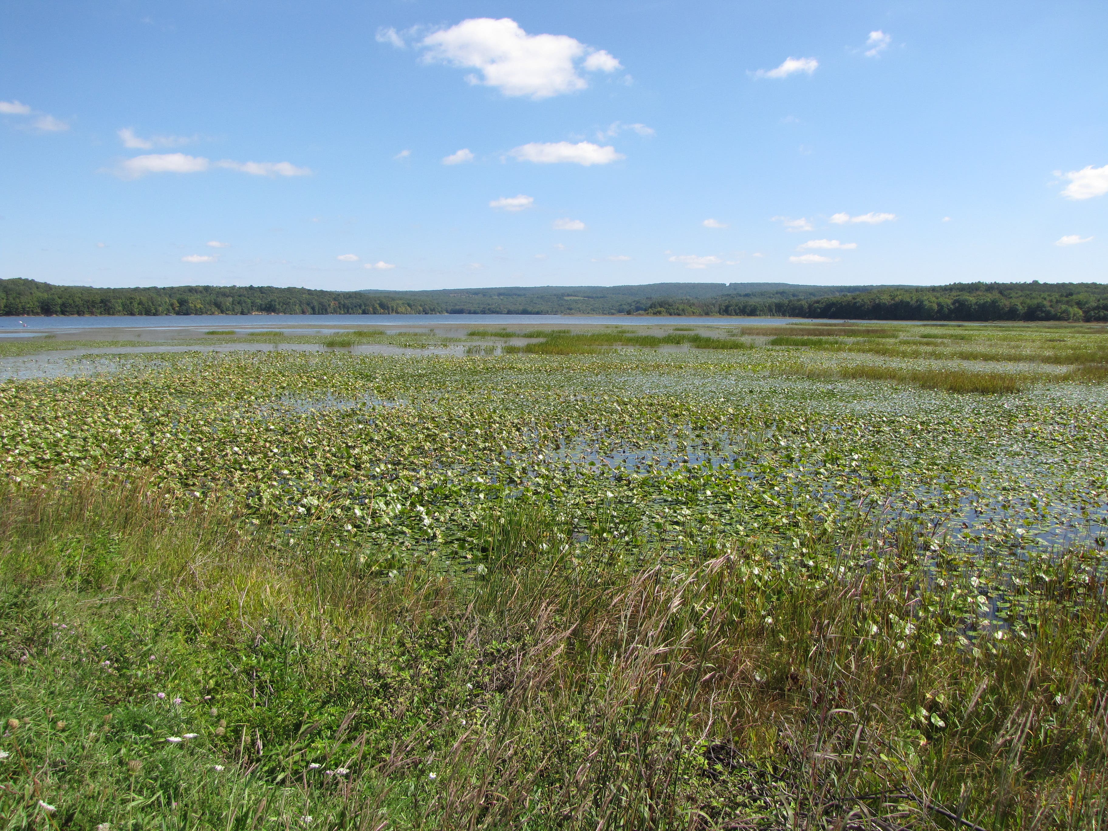
Yellow Creek Lake
Location: 40.573691, -79.038863
The marsh between the Damsite trail and the main day-use area is perfect for viewing Northern Pintail, Great Blue Heron, and migrating Tundra Swan that frequently arrive in flocks of hundreds.