White Mountain National Forest: Thoreau Falls

Mapped by MtnMagic
Trail Facts
- Distance: 8.3
Waypoints
THR001
Location: 44.1670608520508, -71.3861465454102
Follow Ethan Pond Trail (part of the Appalachian Trail); cross railroad tracks and begin climb on old logging road
THR002
Location: 44.1660003662109, -71.3886413574219
R @ Y with Arethusa-Ripley Falls Trail (side trail leads .5 mi. to Ripley Falls)
THR003
Location: 44.1656799316406, -71.3942031860352
Trail curves NW for continued ascent of Mt. Willey’s wooded slopes
THR004
Location: 44.1728591918945, -71.4045867919922
Stay straight @ 3-way with Kedron Flume Trail
THR005
Location: 44.1752891540527, -71.4088592529297
Bear L @ Y with Willey Range Trail; follow Ethan Pond Trail as it bends W
THR006
Location: 44.1756706237793, -71.4273300170898
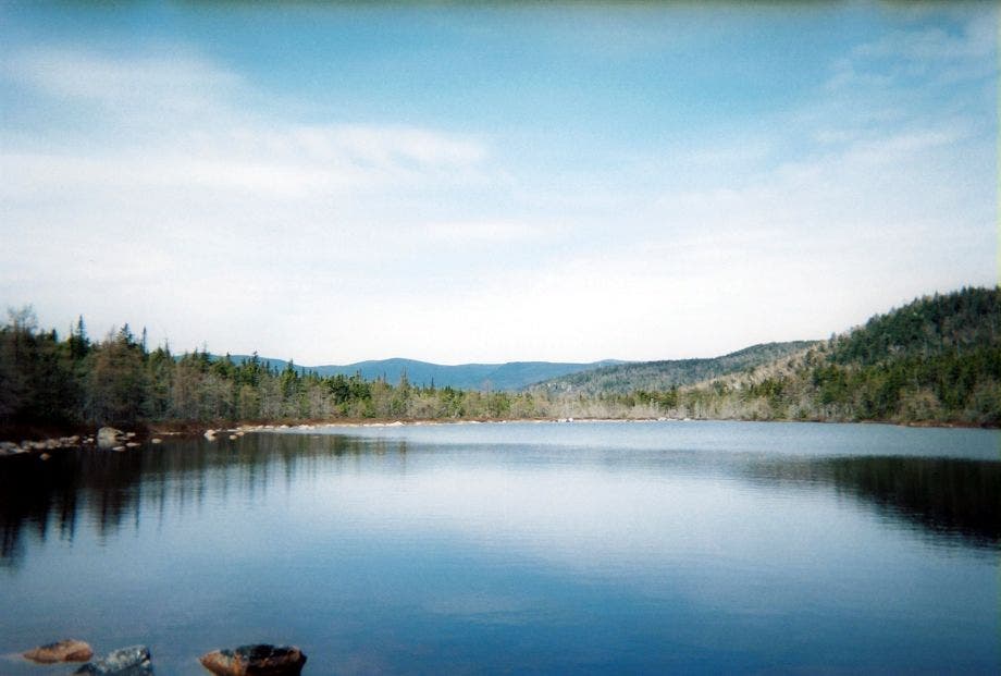
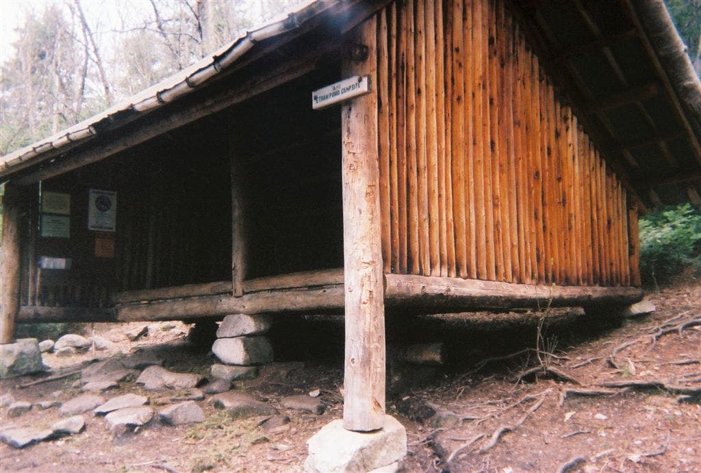
Straight @ 3-way. Optional: Turn R onto spur to Ethan Pond and shelter (Twin Range rises behind pond’s glassy waters). Next: Cross boggy areas on boardwalks
THR007
Location: 44.1756782531738, -71.4398040771484
Bear R onto short section of relocated trail
THR008
Location: 44.1731758117676, -71.4494857788086
Trail curves to the R as path rejoins old route; head SW
THR009
Location: 44.1700401306152, -71.4617462158203
Straight @ 3-way with Shoal Pond Trail
THR010
Location: 44.169921875, -71.4670867919922
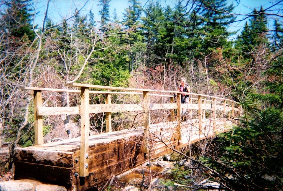
Cross the North Fork of the Pemigewasset River on wooden footbridge
A view of Ethan Pond and beyond
Location: 44.1765174865723, -71.4269027709961
THR011
Location: 44.1705207824707, -71.4711685180664
Turn L @ 3-way onto Thoreau Falls Trail, traveling SW towards North Fork
THR012
Location: 44.1694183349609, -71.4722290039062
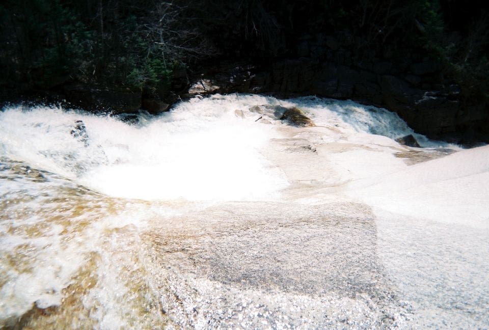
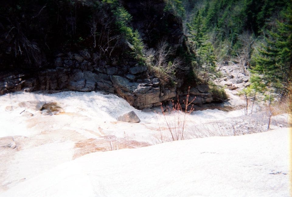
Thoreau Falls: Watch the whitewater race down boulders to wooded banks below; retrace steps
Looking down Thoreau Falls
Location: 44.1697959899902, -71.472785949707
Ethan Pond Shelter
Location: 44.1765174865723, -71.4257431030274
Looking down from the top of the falls
Location: 44.1697959899902, -71.4712371826172
Wooden Bridge
Location: 44.1700553894043, -71.4673614501953