Published September 20, 2013 03:30PM
White Mountain National Forest: Mt. Moosilauke
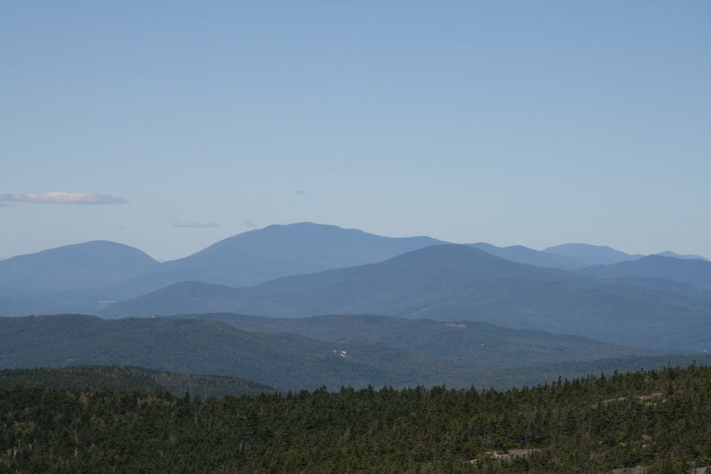
This 7.3-mile loop hike takes you up a steep, rocky trail to an exposed, treeless summit that's the southwesternmost high peak in the White Mountains, and one of the prettiest.
'Tim Sackton'
Trail Facts
- Distance: 11.8
Waypoints
MSL001
Location: 43.9938850402832, -71.8147354125976
From trailhead, follow logging road 200 ft.; turn L and descend to Baker River. After crossing a footbridge, turn L, following Gore Brook Trail sign
MSL002
Location: 43.9943504333496, -71.8176651000976
R @ intersection; continue on Gore Brook Trail
MSL003
Location: 43.997501373291, -71.8207168579102
Cross brook by stepping across logs; go R @ junction; trail follows along a cascading stream on the R
MSL004
Location: 44.0095672607422, -71.8285827636719
Refill water bottles; trail veers R into woods and away from stream
MSL005
Location: 44.0179176330566, -71.8227005004883
Trail passes through a clearing with great views of the Whites; enjoy lunch before pushing on to the summit
MSL006
Location: 44.023365020752, -71.831413269043
Mt. Moosilauke’s often-windy summit (4,802 ft.); follow sign for Mtn. Carriage Rd. as trail descends toward treeline; keep eyes peeled for moose
MSL007
Location: 44.0137481689453, -71.8399658203125
ADVERTISEMENT
Bear L @ T; continue hiking as trail enters lush birch, maple, and oak forest with thick fern and grass underbrush
MSL008
Location: 43.9995002746582, -71.8346862792969
Straight @ intersection
MSL009
Location: 43.9882850646973, -71.8326644897461
Turn L onto Hurricane Trail; refill water at one of 6 stream crossings as trail proceeds along and over Gorge Brook
MSL010
Location: 43.9939346313477, -71.8178863525391
Hike straight on Gorge Brook Trail; follow out to trailhead