White Mountain National Forest: Mount Starr King and Mount Waumbek

OLYMPUS DIGITAL CAMERA
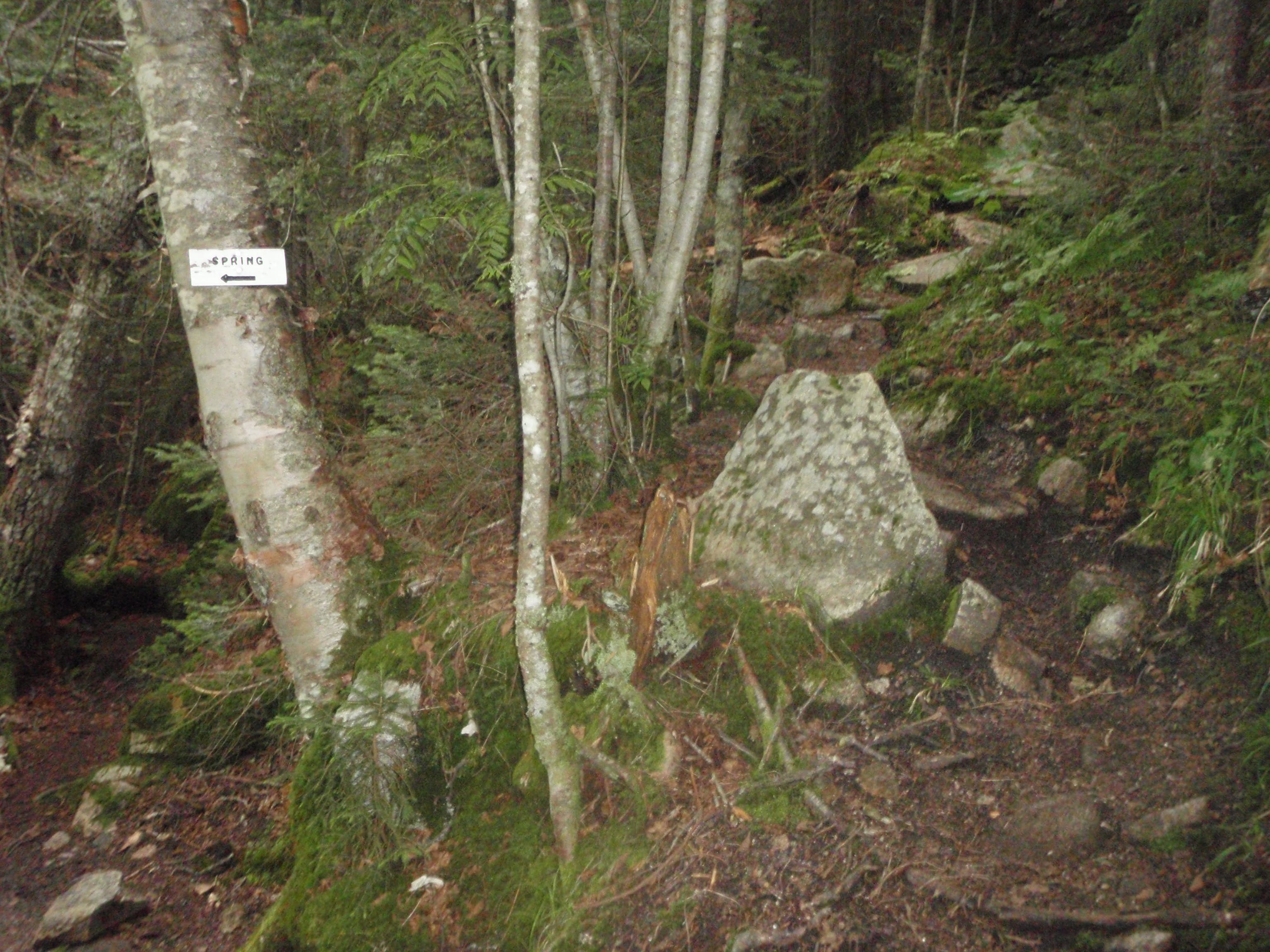
A good introduction to the White Mountain 4,000-footers, this 6.3-mile hike to Mount Waumbek features easy-to-moderate grades on a well-maintained trail. From the parking area, follow Starr King Trail to the northeast; continue straight where an old logging road crosses the trail. After 1.5 miles, look northeast for views of Mount Starr King’s wooded summit. Less than half a mile later, pass a small, but reliable spring located about 10 yards off the west side of the trail.
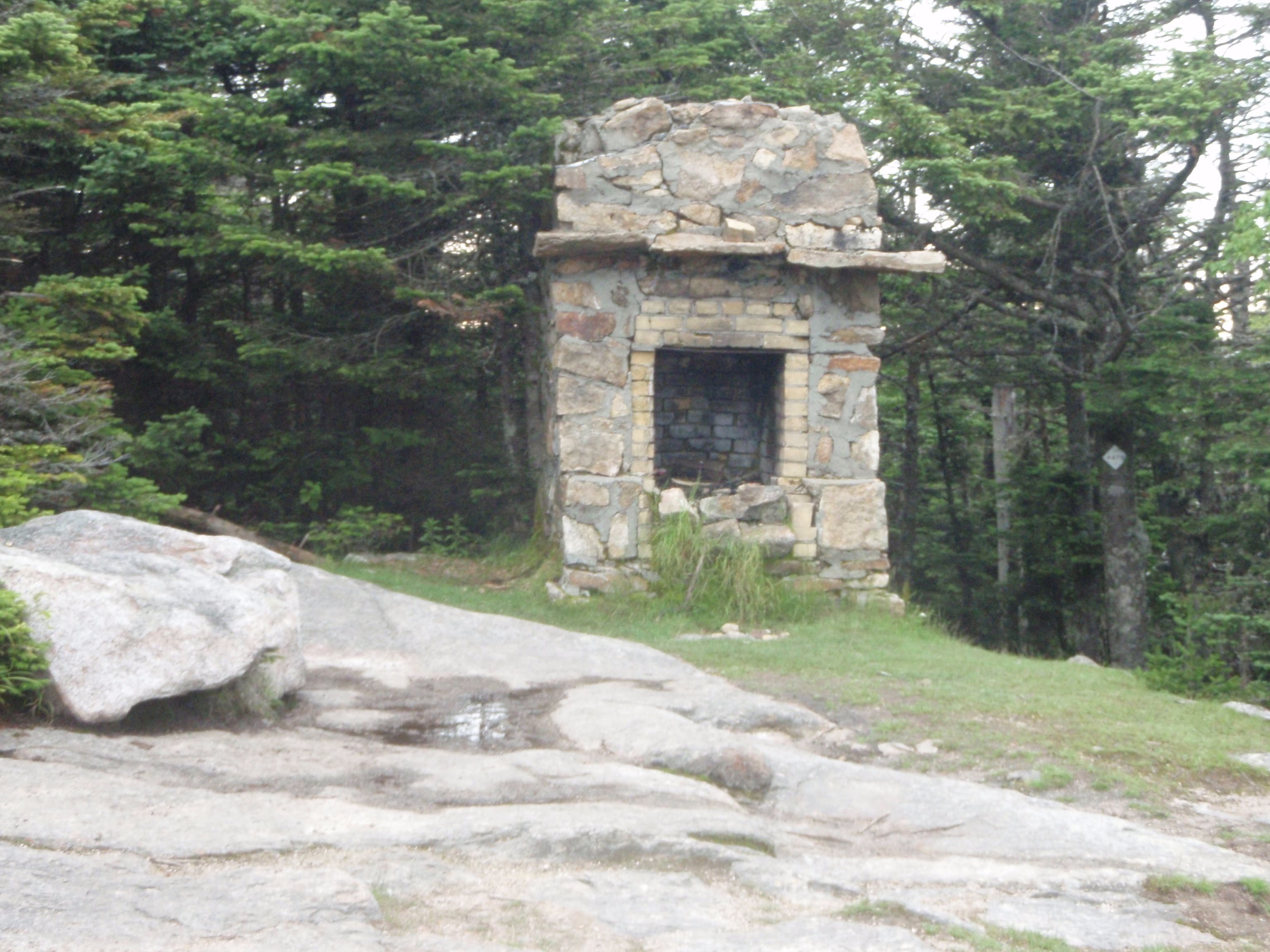
The trail crests Mount Starr King, the first summit of the day, at mile 2.3. Take a lunch break on the shady summit, or continue on to the second peak. After passing the remains of a stone fireplace, the route winds east along a ridgeline to the 4,006-foot summit of Mount Waumbek. From here, hikers can continue on Kilkenny Ridge Trail to South Weeks, or turn around and follow the same route back to the trailhead.
-Mapped by Michael Blair
WHITE MOUNTAINS PRO TRIP PLANNING GUIDE
TOPO MAPS Order a custom, seamless map of this route by selecting our Print MyTopo option.
CONDITIONS Check weather at Jefferson, NH (08583).
INFO For more information about travel planning in the region, check out the Visit White Mountains website.
CONTACT
White Mountain National Forest Headquarters 71 White Mountain Drive, Campton, NH 03223 (603) 536-6100
White Mountain Visitor Center 200 Kancamagus Hwy, N Woodstock, NH (603) 745-3816
GEAR
International Mountain Climbing School 2733 Main St, North Conway, NH 03860 (603) 356-7064 ime-usa.com
L.L.Bean Outlet North Conway, NH 1390 White Mtn Hwy, North Conway, NH 03860 (603) 356-2100 llbean.com
Eastern Mountain Sports 1498 White Mountain Highway, Unit C30, North Conway, NH 03860(603) 356-5433 ems.com
RESTAURANTS
North Conway Area Restaurants
Moat Mountain Smokehouse 3378 White Mountain Highway, North Conway, NH 03860 (603) 356-6381 moatmountain.com
Horsefeathers 2679 White Mountain Highway, North Conway, NH 03860 (603) 356-2687 horsefeathers.com
Delaney’s Hole In the Wall 2966 White Mountain Highway, North Conway, NH 03860 (603) 356-7776 delaneys.com
Peaches Restaurant 2506 White Mountain Highway, North Conway, NH 03860 (603) 356-5860 peachesnorthconway.com
Lincoln Area Restaurants
Common Man Restaurant 44 Pollard Road, Lincoln, NH 03251 (603) 745-3463 thecman.com
Woodstock Inn Station & Brewery 135 Main Street, North Woodstock, NH 03262 (603) 745-3951 woodstockinnbrewery.com
Gypsy Cafe 117 Main Street, Lincoln, NH 03251 (603) 745-4395
Trail Facts
- Distance: 10.2
Waypoints
WAU001
Location: 44.418864, -71.46652
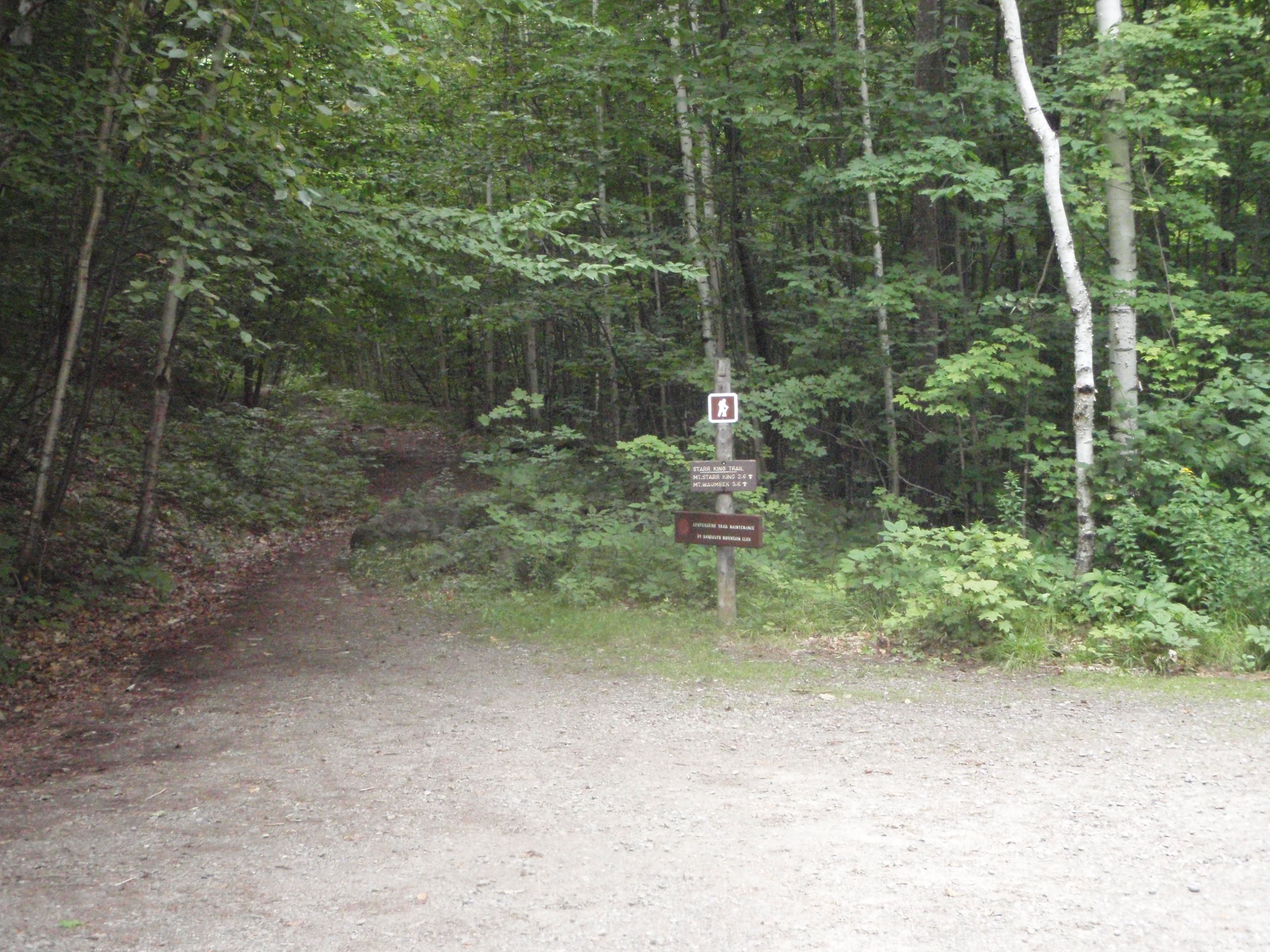
The trail begins from the northwest corner of the small parking area. Note: There are no restroom facilities at the trailhead.
WAU002
Location: 44.419454, -71.465558
Continue straight where an old logging road crosses the Starr King Trail.
WAU003
Location: 44.42047, -71.463849
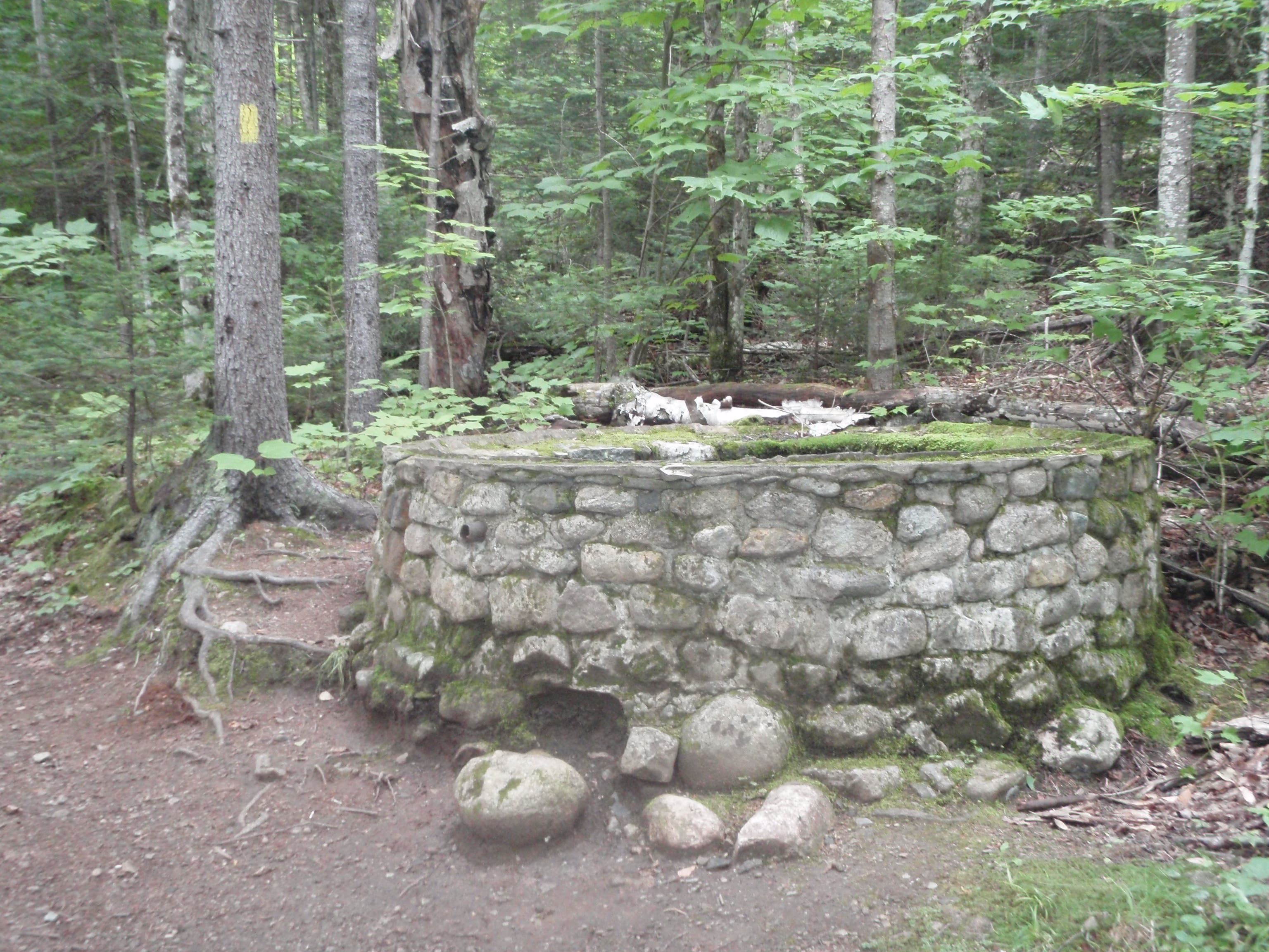
The trail passes the remains of a stone structure.
WAU004
Location: 44.427245, -71.439468
Catch a glimpse of Mount Starr King from this point on the trail.
WAU005
Location: 44.430129, -71.434876
A white sign points in the direction of a small, but reliable spring located about 10 yards off the west side of the trail.
WAU006
Location: 44.434397, -71.432714
The trail crests the wooded summit of Mount Starr King.
WAU007
Location: 44.434477, -71.432574
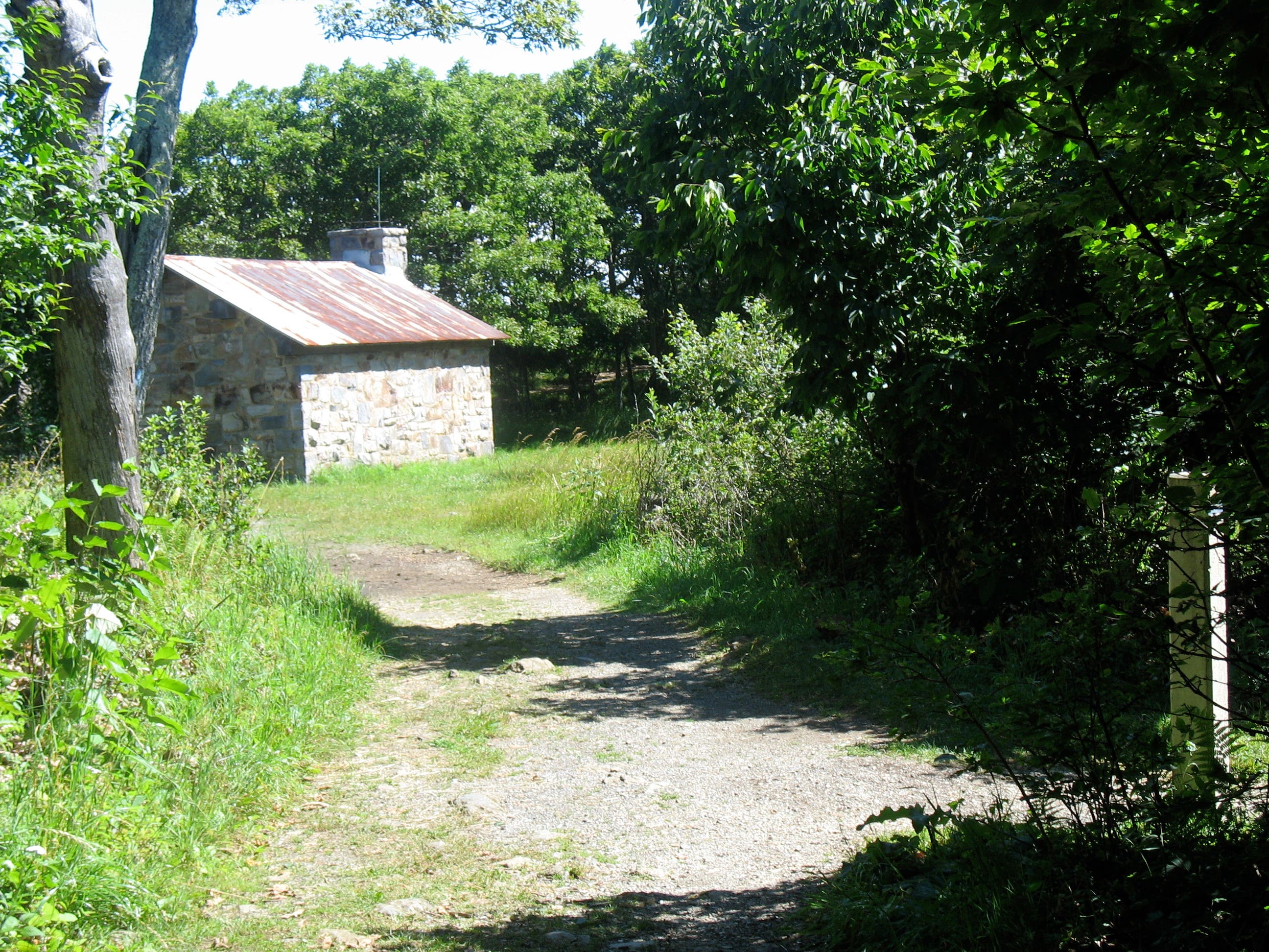
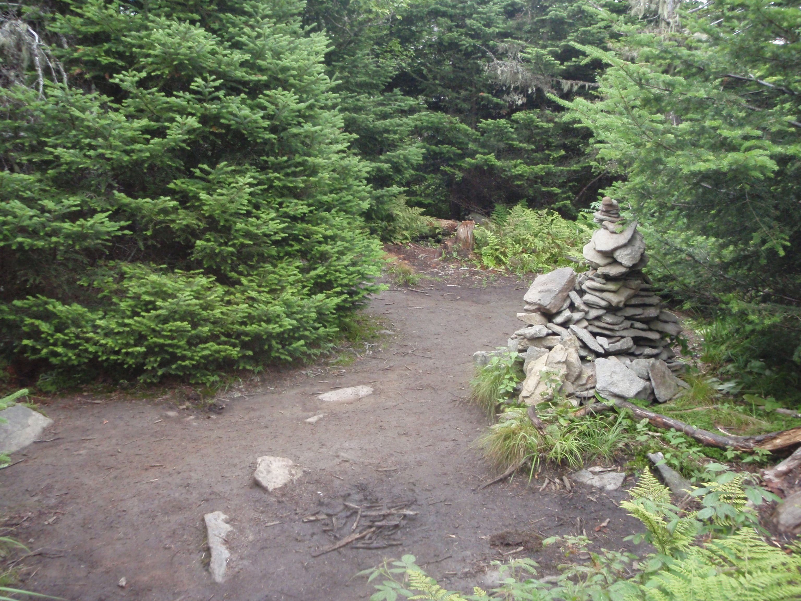
About 50 yards beyond the summit is a clearing with the remnants of an old shelter; the stone fireplace is all that remains. Despite the limited views, it’s a great place to take a break and have lunch. Next, continue on the trail to the right of the fireplace.
WAU008
Location: 44.432661, -71.417184
Stand on the 4,006-foot summit of Mount Waumbek. From the summit, the Kilkenny Ridge Trail continues north to South Weeks. Turn around and retrace the route to the trailhead.
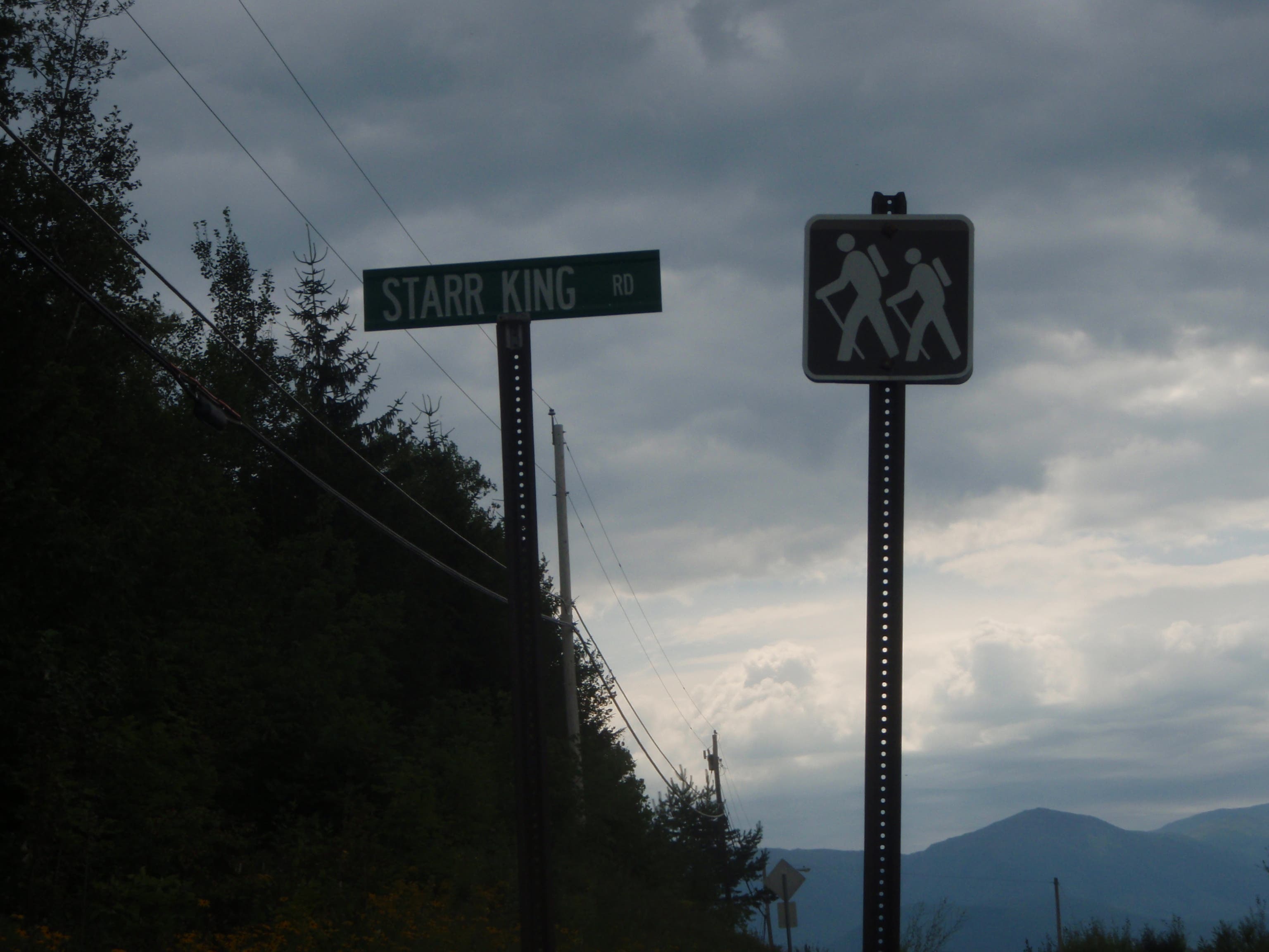
Starr King Road
Location: 44.41726, -71.471488
Starr King Road leads to the trailhead and parking area.
Parking Area
Location: 44.41887, -71.466456
Trail Junction
Location: 44.419452, -71.465501
Stone Remnants
Location: 44.420471, -71.463779
Sign for Spring
Location: 44.430133, -71.434752
Stone Fireplace
Location: 44.434485, -71.432505
Wooded Summit of Mount Waumbek
Location: 44.4327, -71.417023