White Mountain National Forest: Mount Osceola
Two of New Hampshire’s 4,000-foot summits, Mount Osceola and East Osceola, can be bagged in one trip on this 7-mile out-and-back in White Mountain National Forest. Starting from the Greeley Ponds Trailhead, this route travels southeast into the Mad River Notch on a mild climb.
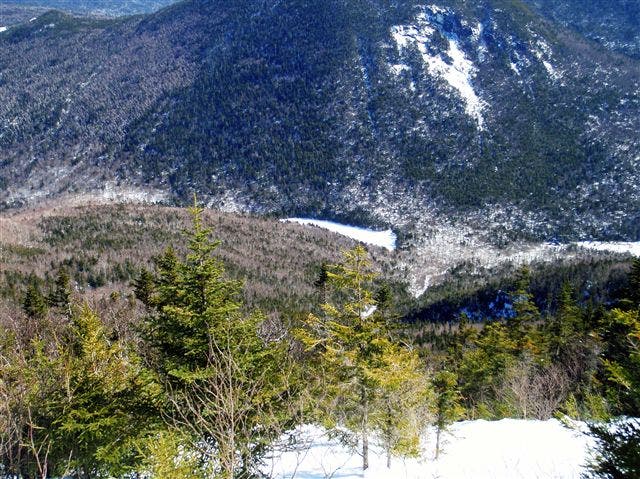
About a mile in, the route turns right on the Mount Osceola Trail and begins a stiff, 1.3 mile climb to East Osceola, gaining 1,800 feet of elevation. Views at this first summit are limited, but on the way up, keep an eye out for overlooks east to Greeley Ponds and the neighboring Mount Kancamagus.
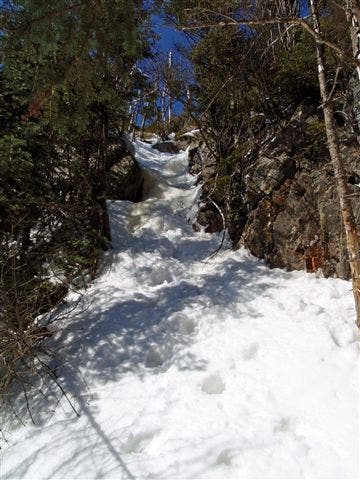
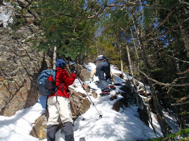
After a 0.4-mile descent down the spine of Mount Osceola, the trail reaches its technical crux: The Chimney. This narrow passage is a tough hand-over-hand scramble in the summertime. In the winter, this route is best left to those with ice-climbing gear and experience; winter hikers should use the alternate route just north (to the right) of The Chimney, which zigzags up an exposed rock face (crampons required).
Above The Chimney, it’s another 0.6-mile climb to the top of Mount Osceola. From an open ledge, the summit offers views of the Waterville Valley to the south and the majestic Mount Washington to the northeast. Enjoy the view and stay for lunch before backtracking down to the trailhead.
-Mapped by Michael Blair
WHITE MOUNTAINS PRO TRIP PLANNING GUIDE
TOPO MAPS Order a custom, seamless map of this route by selecting our Print MyTopo option.
CONDITIONS Check weather at Lincoln, NH (03251).
INFO For more information about travel planning in the region, check out the Visit White Mountains website.
CONTACT
White Mountain National Forest Headquarters 71 White Mountain Drive, Campton, NH 03223 (603) 536-6100
White Mountain Visitor Center 200 Kancamagus Hwy, N Woodstock, NH (603) 745-3816
GEAR
International Mountain Climbing School 2733 Main St, North Conway, NH 03860 (603) 356-7064 ime-usa.com
L.L.Bean Outlet North Conway, NH 1390 White Mtn Hwy, North Conway, NH 03860 (603) 356-2100 llbean.com
Eastern Mountain Sports 1498 White Mountain Highway, Unit C30, North Conway, NH 03860(603) 356-5433 ems.com
RESTAURANTS
North Conway Area Restaurants
Moat Mountain Smokehouse 3378 White Mountain Highway, North Conway, NH 03860 (603) 356-6381 moatmountain.com
Horsefeathers 2679 White Mountain Highway, North Conway, NH 03860 (603) 356-2687 horsefeathers.com
Delaney’s Hole In the Wall 2966 White Mountain Highway, North Conway, NH 03860 (603) 356-7776 delaneys.com
Peaches Restaurant 2506 White Mountain Highway, North Conway, NH 03860 (603) 356-5860 peachesnorthconway.com
Lincoln Area Restaurants
Common Man Restaurant 44 Pollard Road, Lincoln, NH 03251 (603) 745-3463 thecman.com
Woodstock Inn Station & Brewery 135 Main Street, North Woodstock, NH 03262 (603) 745-3951 woodstockinnbrewery.com
Gypsy Cafe 117 Main Street, Lincoln, NH 03251 (603) 745-4395
Trail Facts
- Distance: 11.3
Waypoints
OSC001
Location: 44.031557, -71.516469
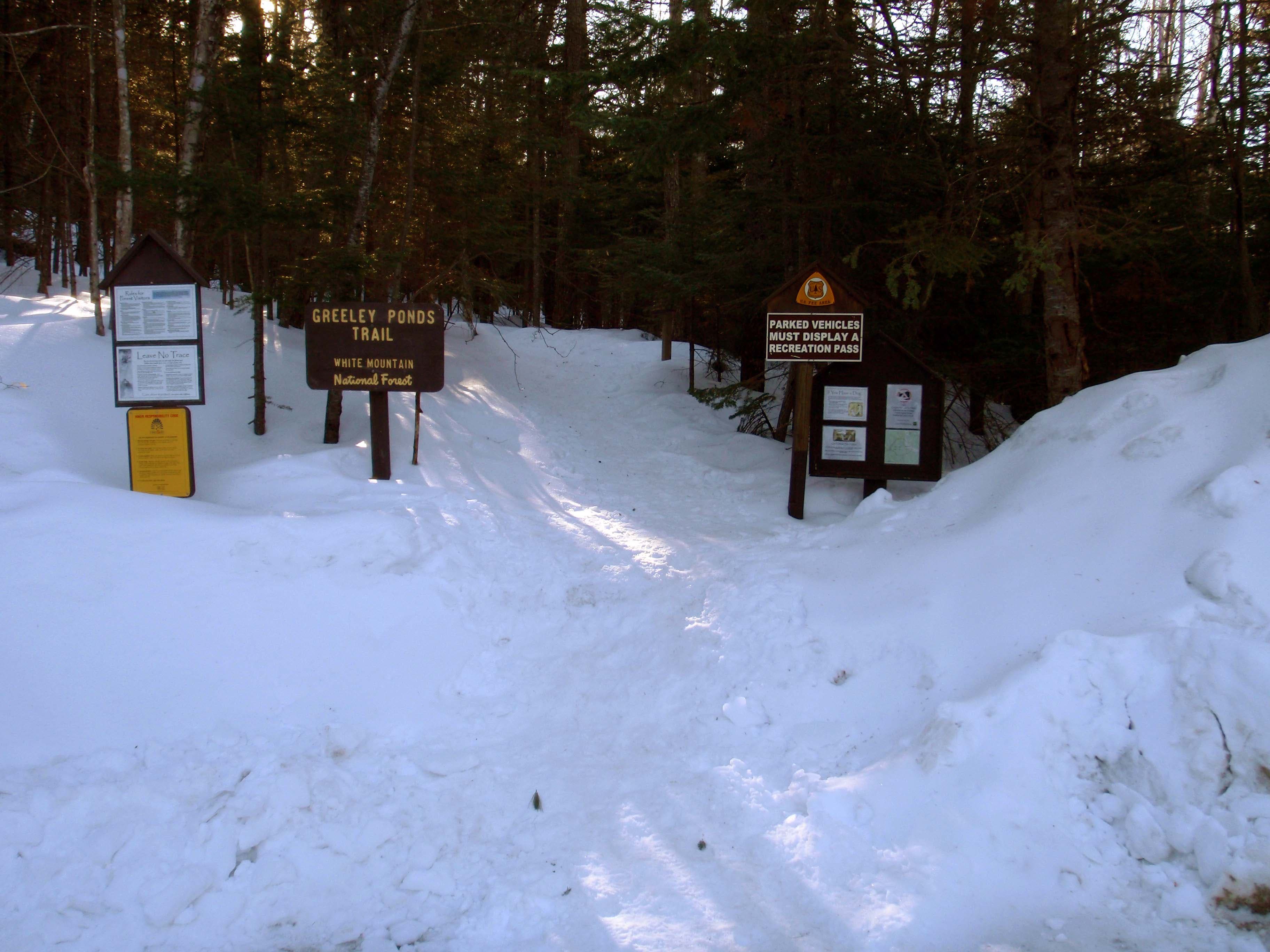
Leave the parking area and begin hiking south-southeast on the Greeley Ponds Trail on a gradual climb. Follow yellow rectangle blazes.
OSC002
Location: 44.030076, -71.514687
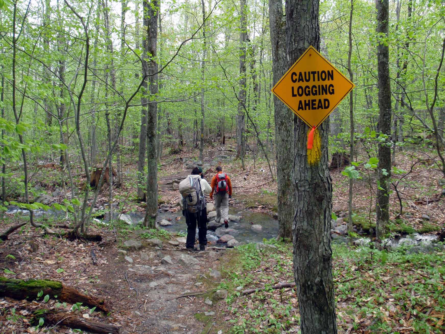
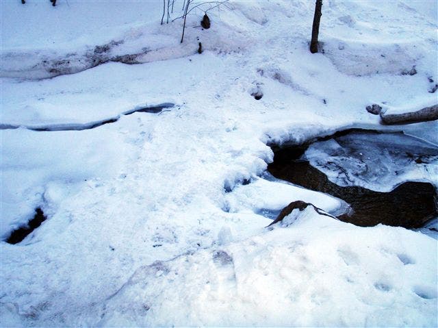
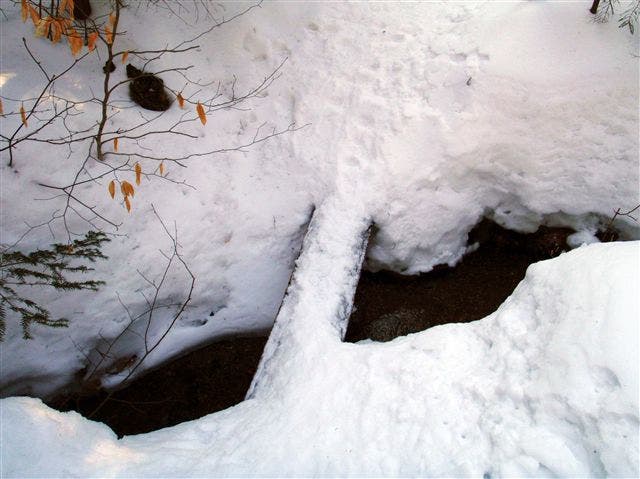
The trail meets the first of several easy stream crossings. On a few occasions the trail crosses on narrow log bridges.
OSC003
Location: 44.028587, -71.513743
Cross the South Fork Hancock Branch (the first of 2 river crossings). There’s no bridge; rock hop across.
OSC004
Location: 44.022045, -71.510096
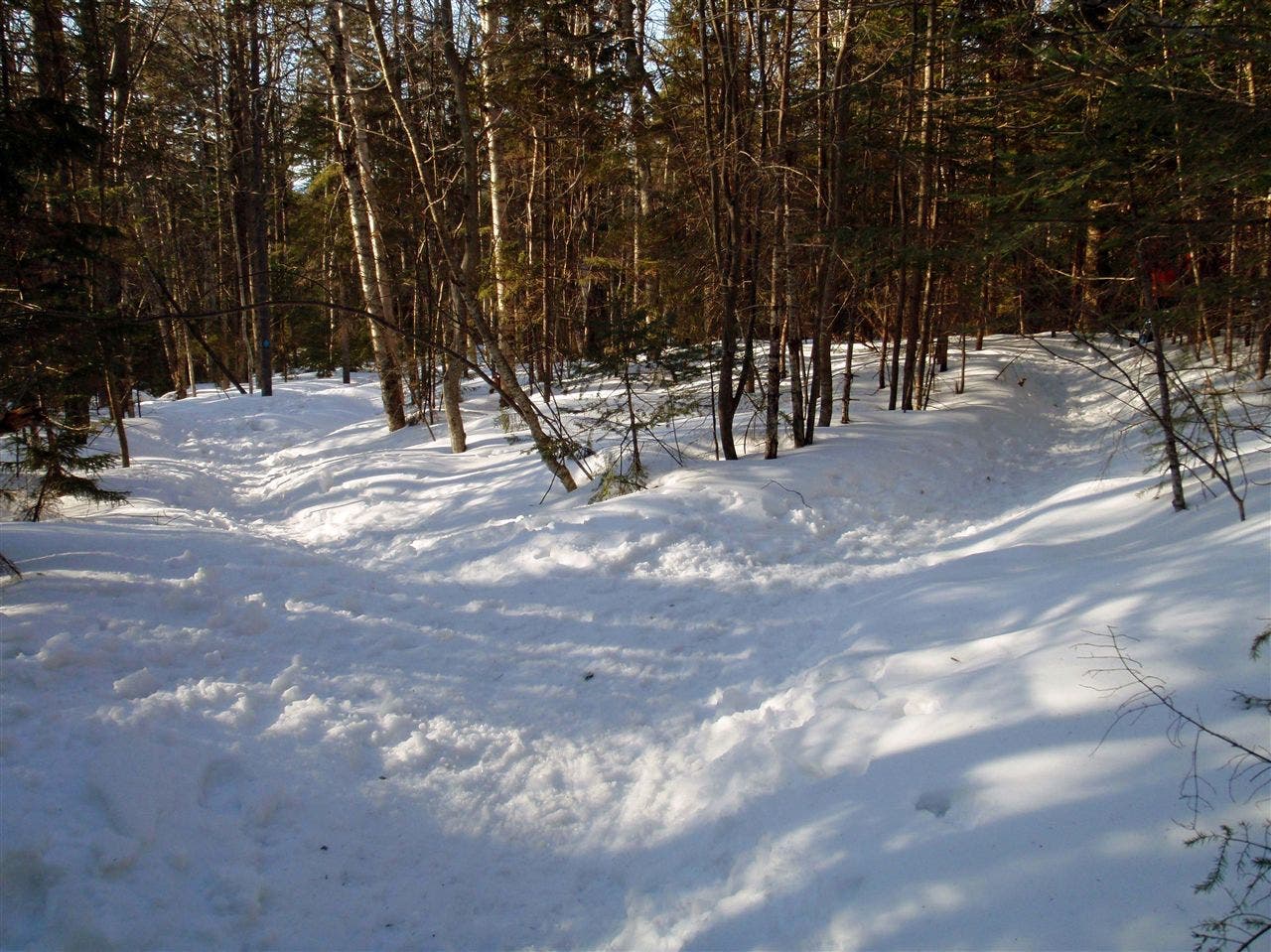
Stay left @ unmarked Y-junction on Greeley Ponds Trail. A blue-blazed cross country ski trail veers to the right. Note: This junction may be difficult to see on the way up Osceola.
OSC005
Location: 44.017386, -71.506898
Turn right @ 3-way junction onto Mount Osceola Trail, heading west. The Greeley Ponds Trail continues straight. Ahead: Begin a stiff, 1.3-mile climb out of Mad River Notch to the summit of East Osceola; you’ll gain 1,800 feet of elevation.
OSC006
Location: 44.006081, -71.520717
The summit of East Osceola is wooded and offers limited views; the real vistas await further west atop Mount Osceola. From here, descend west, following the spine of the ridge to a saddle before the final ascent to The Chimney.
OSC007
Location: 44.005502, -71.528329
The Chimney: Located between the two summits, this short, steep, and narrow passage is a scrambling challenge in the summertime. In the winter, it’s best left to those with ice climbing gear. Just north, an alternate route zigzags across the exposed rock section of the narrow passage; bring crampons.
OSC008
Location: 44.001551, -71.53548
Mount Osceola (4,340 ft.): An open ledge offers fantastic views of the Waterville Valley to the south and Mount Washington to the northeast. Enjoy the expanse before backtracking to the Greeley Ponds Trailhead.
Views of Mount Washington
Location: 44.001551, -71.535287
From the summit of Mount Osceola, look northeast for a grand view of Mount Washington.
Greely Ponds Trailhead
Location: 44.031549, -71.516351
Stream Crossing
Location: 44.030084, -71.514569
South Fork River Crossing
Location: 44.028603, -71.513529
Narrow Log Bridge
Location: 44.027962, -71.513314
One of several aids to stream crossings you’ll encounter on this trip
Ski Trail Junction
Location: 44.022061, -71.509902
Looking north from the unmarked trail junction. Head left here on the way up Osceola, and right on the way back down.
Junction: Greely Ponds-Mount Osceola Trail
Location: 44.017386, -71.506802
Greely Ponds View
Location: 44.010094, -71.518872
An opening in the trees provides a glimpse of Greeley Ponds and Mount Kancamagus to the east.
Osceola View
Location: 44.00507, -71.523914
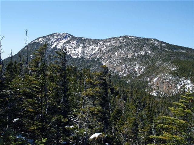
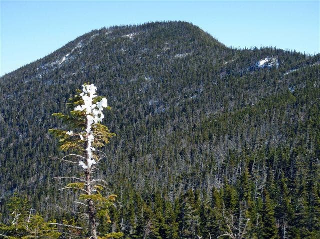
Just past East Osceola, an opening in the trees provides a glimpse of Mount Osceola to the west.
The Chimney
Location: 44.005499, -71.528265
Looking up through The Chimney: In the summertime, this is a technical section of scrambling; in the winter, it’s better left to those with ice climbing gear.
Alternate Route
Location: 44.005574, -71.528369
Looking up at the alternate route just north of The Chimney. This is the preferred approach for winter hikers.
East Osceola View
Location: 44.005537, -71.52856
Just above The Chimney, look back east for a view of East Osceola.