White Mountain National Forest: Mount Morgan & Mount Percival

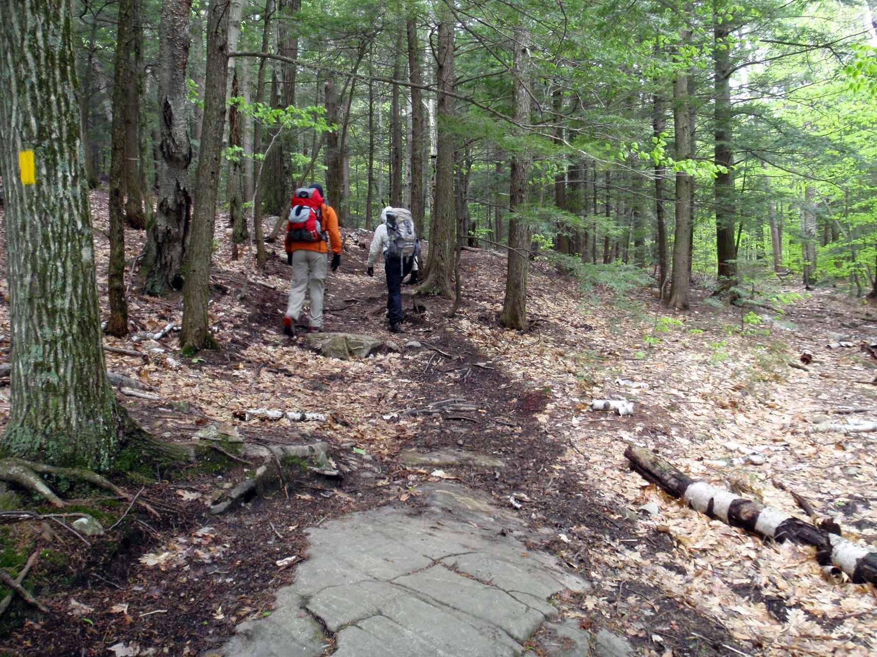
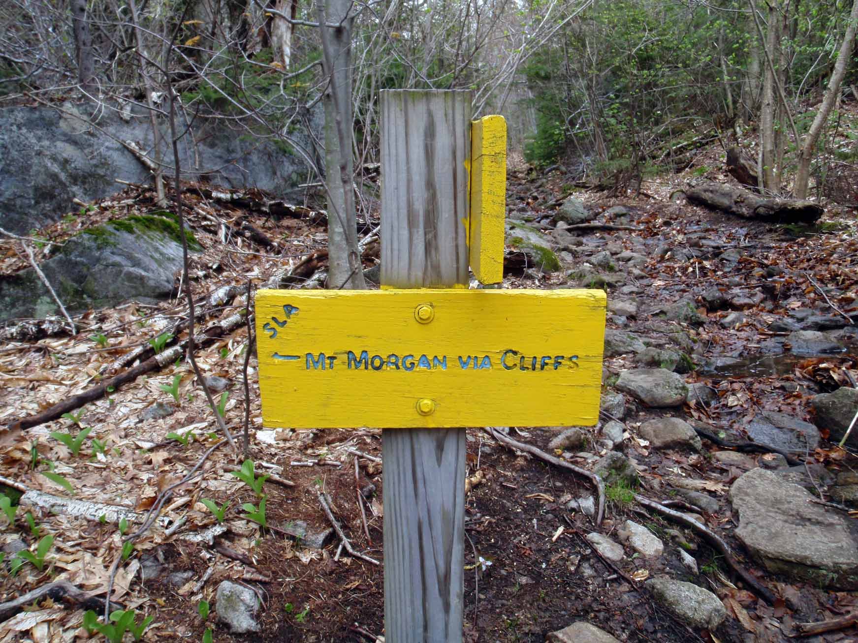
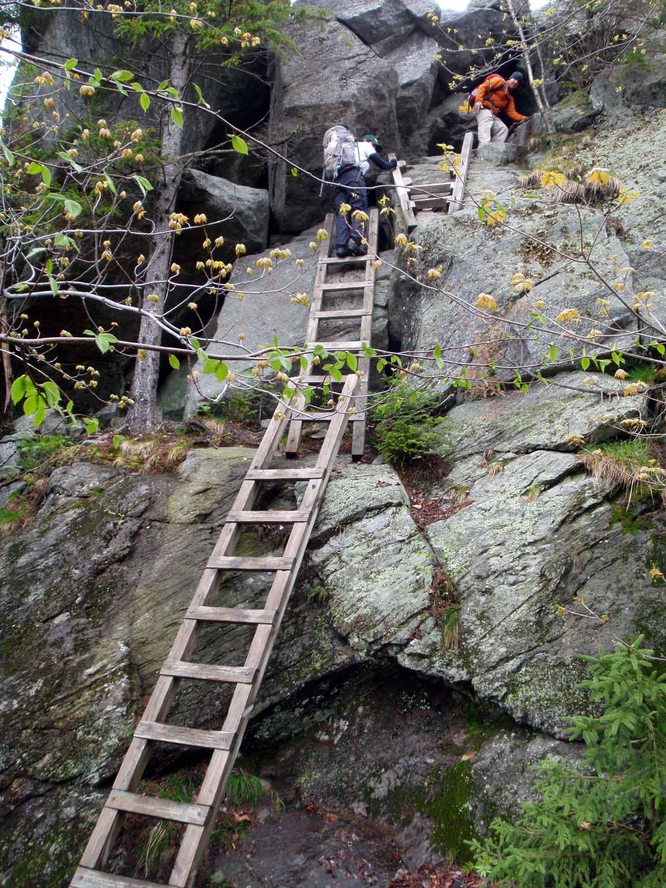
Begin hiking west on the yellow-blazed Mount Morgan Trail. The route begins a gradual ascent to the ridge connecting Morgan and Percival, but the climb steepens as you near the Ridgepole Trail. After turning right on Ridgepole, the trail continues climbing until reaching a junction just below the Morgan summit: turn left to tackle the technical “cliffs” route (which challenges with ladders, caves, and boulder scrambling) or continue straight on the Ridgepole Trail for a less technical route.
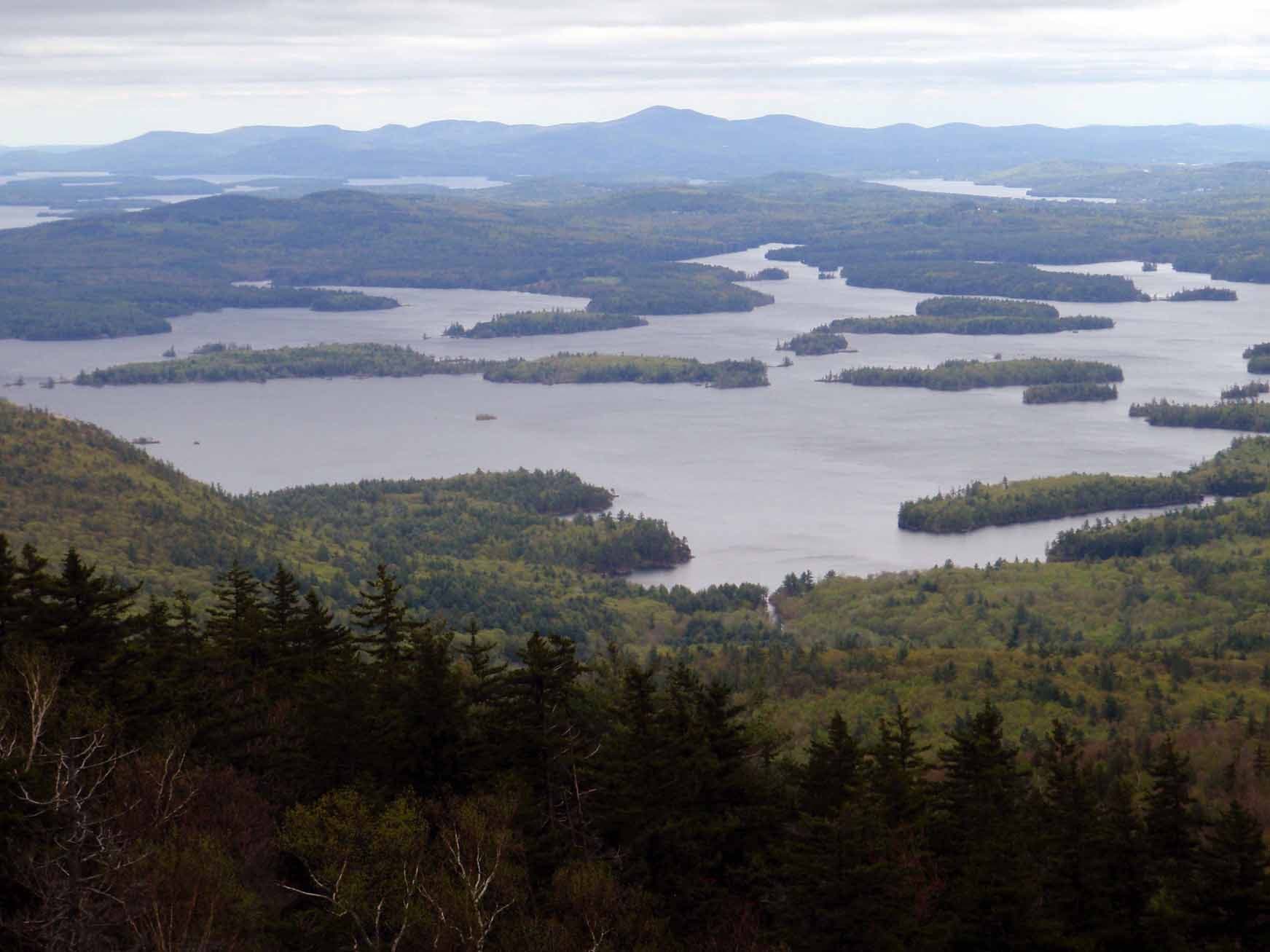
After enjoying broad views of Squam Lake and the White Mountains atop Mount Morgan, continue northeast on the Ridgepole Trail to Mount Percival. Choose between the less technical “cliffs” route (blazed yellow) or the more technical “caves” route (marked with cairns). These two descent options rejoin on the Mount Percival Trail for the straightforward descent to the Morse Trail and the trailhead.
-Mapped by Michael Blair
WHITE MOUNTAINS PRO TRIP PLANNING GUIDE
TOPO MAPS Order a custom, seamless map of this route by selecting our Print MyTopo option.
CONDITIONS Check weather at Holderness, NH (
03245).
INFO For more information about travel planning in the region, check out the Visit White Mountains website.
CONTACT
White Mountain National Forest Headquarters 71 White Mountain Drive, Campton, NH 03223 (603) 536-6100
White Mountain Visitor Center 200 Kancamagus Hwy, N Woodstock, NH (603) 745-3816
GEAR
International Mountain Climbing School 2733 Main St, North Conway, NH 03860 (603) 356-7064 ime-usa.com
L.L.Bean Outlet North Conway, NH 1390 White Mtn Hwy, North Conway, NH 03860 (603) 356-2100 llbean.com
Eastern Mountain Sports 1498 White Mountain Highway, Unit C30, North Conway, NH 03860(603) 356-5433 ems.com
RESTAURANTS
North Conway Area Restaurants
Moat Mountain Smokehouse 3378 White Mountain Highway, North Conway, NH 03860 (603) 356-6381 moatmountain.com
Horsefeathers 2679 White Mountain Highway, North Conway, NH 03860 (603) 356-2687 horsefeathers.com
Delaney’s Hole In the Wall 2966 White Mountain Highway, North Conway, NH 03860 (603) 356-7776 delaneys.com
Peaches Restaurant 2506 White Mountain Highway, North Conway, NH 03860 (603) 356-5860 peachesnorthconway.com
Lincoln Area Restaurants
Common Man Restaurant 44 Pollard Road, Lincoln, NH 03251 (603) 745-3463 thecman.com
Woodstock Inn Station & Brewery 135 Main Street, North Woodstock, NH 03262 (603) 745-3951 woodstockinnbrewery.com
Gypsy Cafe 117 Main Street, Lincoln, NH 03251 (603) 745-4395
Trail Facts
- Distance: 7.6
Waypoints
MRG001
Location: 43.7888172, -71.5484136
Park is on the east side of NH 113 and cross the road to begin hiking west on the Mount Morgan Trail. A second trail (Bridle Path) leaves the east end of the parking lot; it heads to two small mountains known as The Rattlesnakes.
MRG002
Location: 43.7896188, -71.5508491
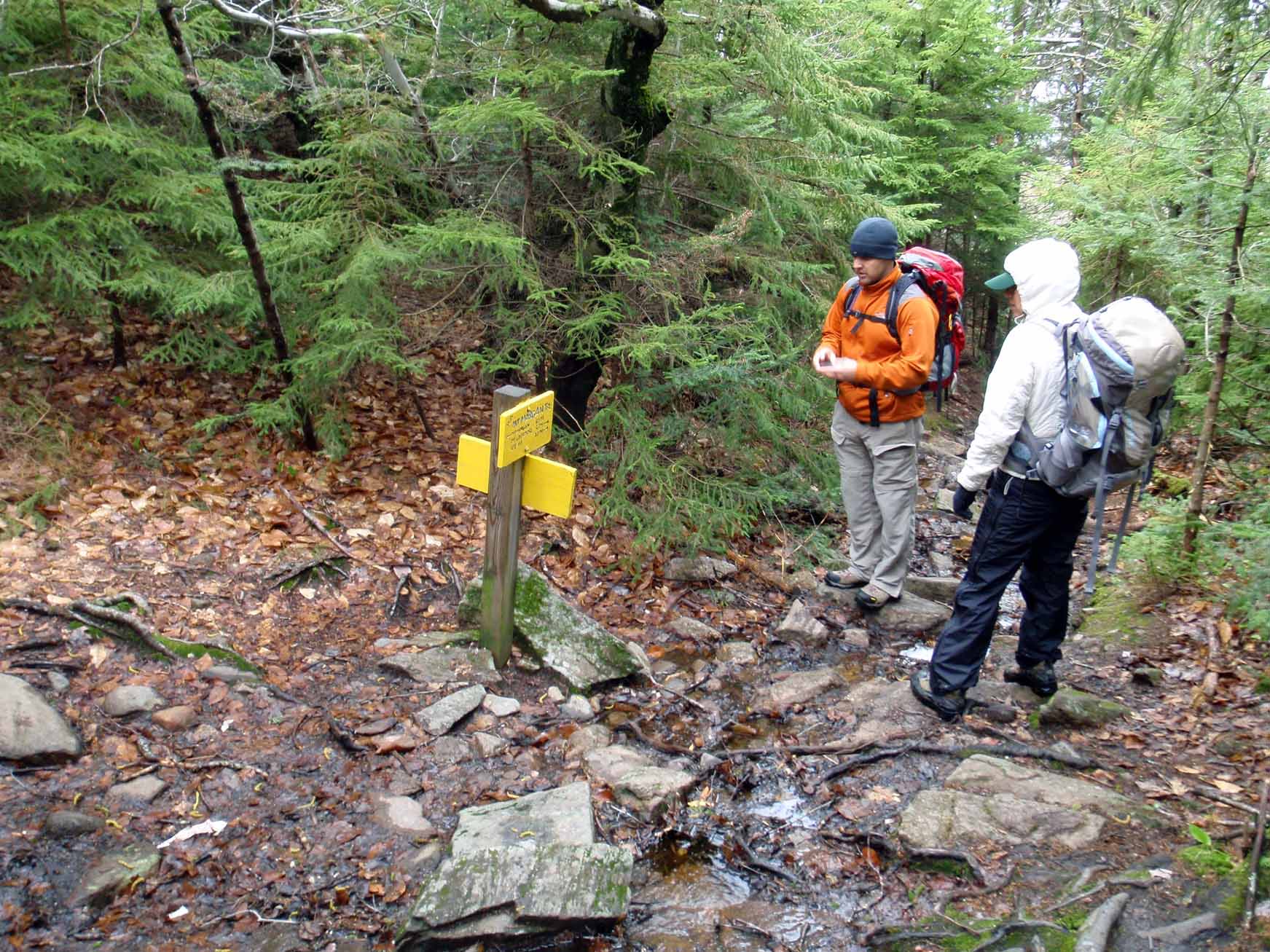
Continue straight @ 3-way junction, heading west on Mount Morgan Trail. The Morse Trail (a cutoff trail between Mount Morgan Trail and Percival Trail) enters on the right.
MRG003
Location: 43.7891503, -71.5544057
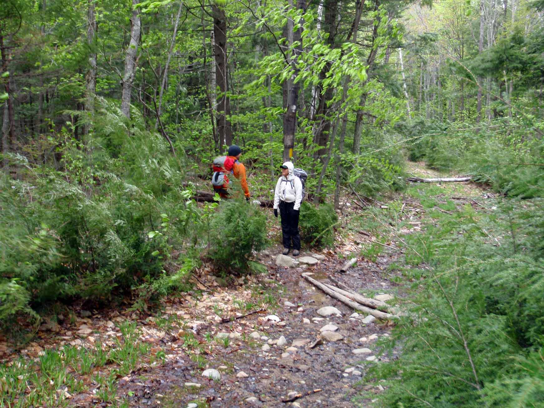
Continue straight on Mount Morgan Trail as it crosses what looks like an old logging road or a cross-county ski trail.
MRG004
Location: 43.7893439, -71.5560794
Continue on the Mount Morgan Trail as it jogs right, then left. The trail follows an old logging road/cross-country ski trail for about 25 yards and then exits to the left (follow the yellow blaze). Ahead, the trail swings north for a steeper climb up Mount Morgan.
MRG005
Location: 43.8001627, -71.5659928
The Mount Morgan Trail ends at this junction with the Ridgepole Trail. Bear right (north). To the left, the Ridgepole Trail heads toward Mount Webster.
MRG006
Location: 43.8027026, -71.5658319
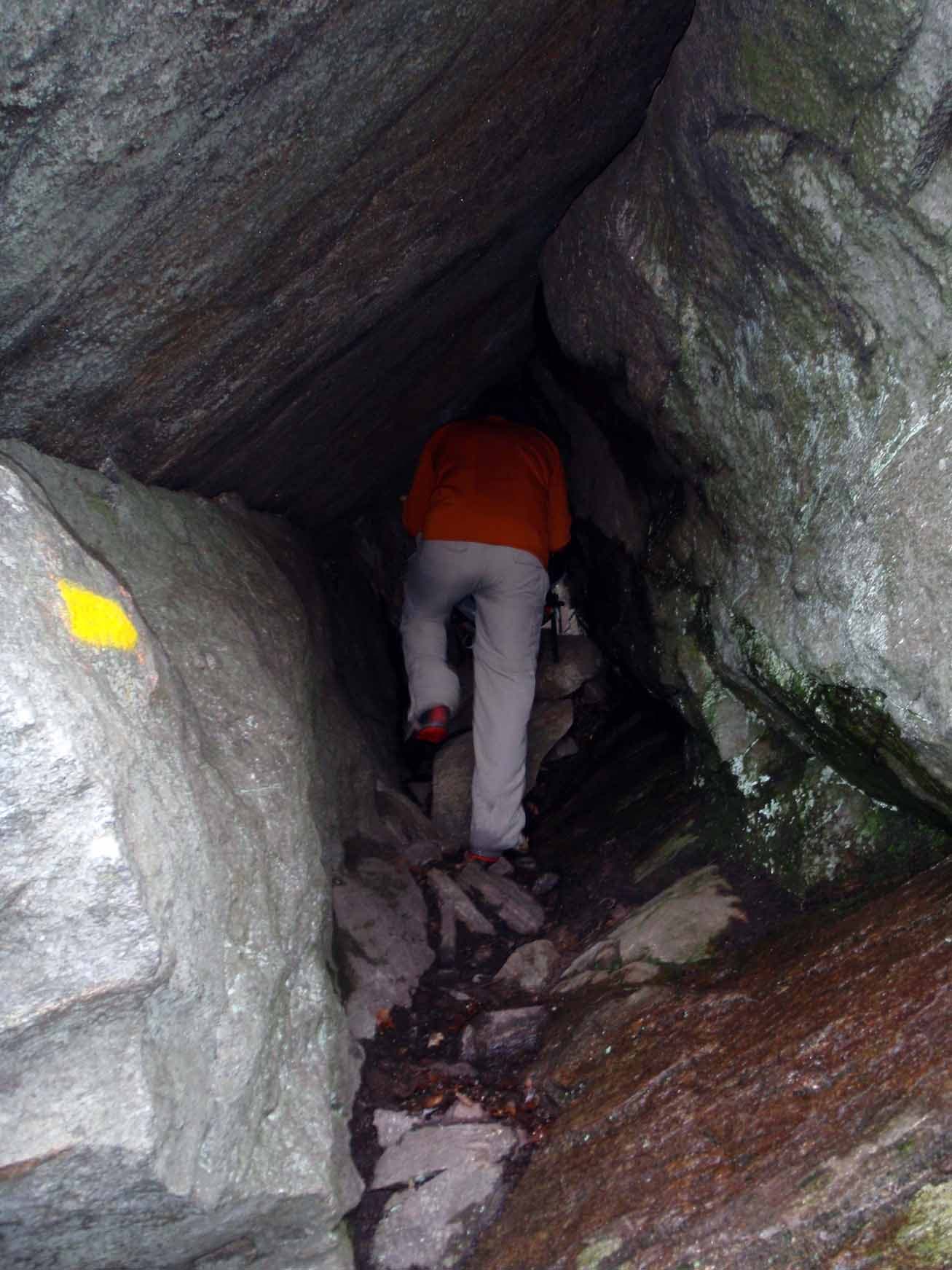
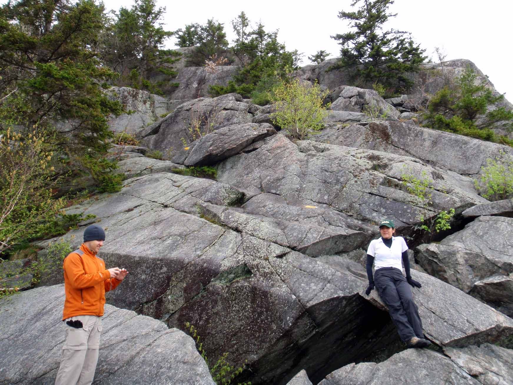
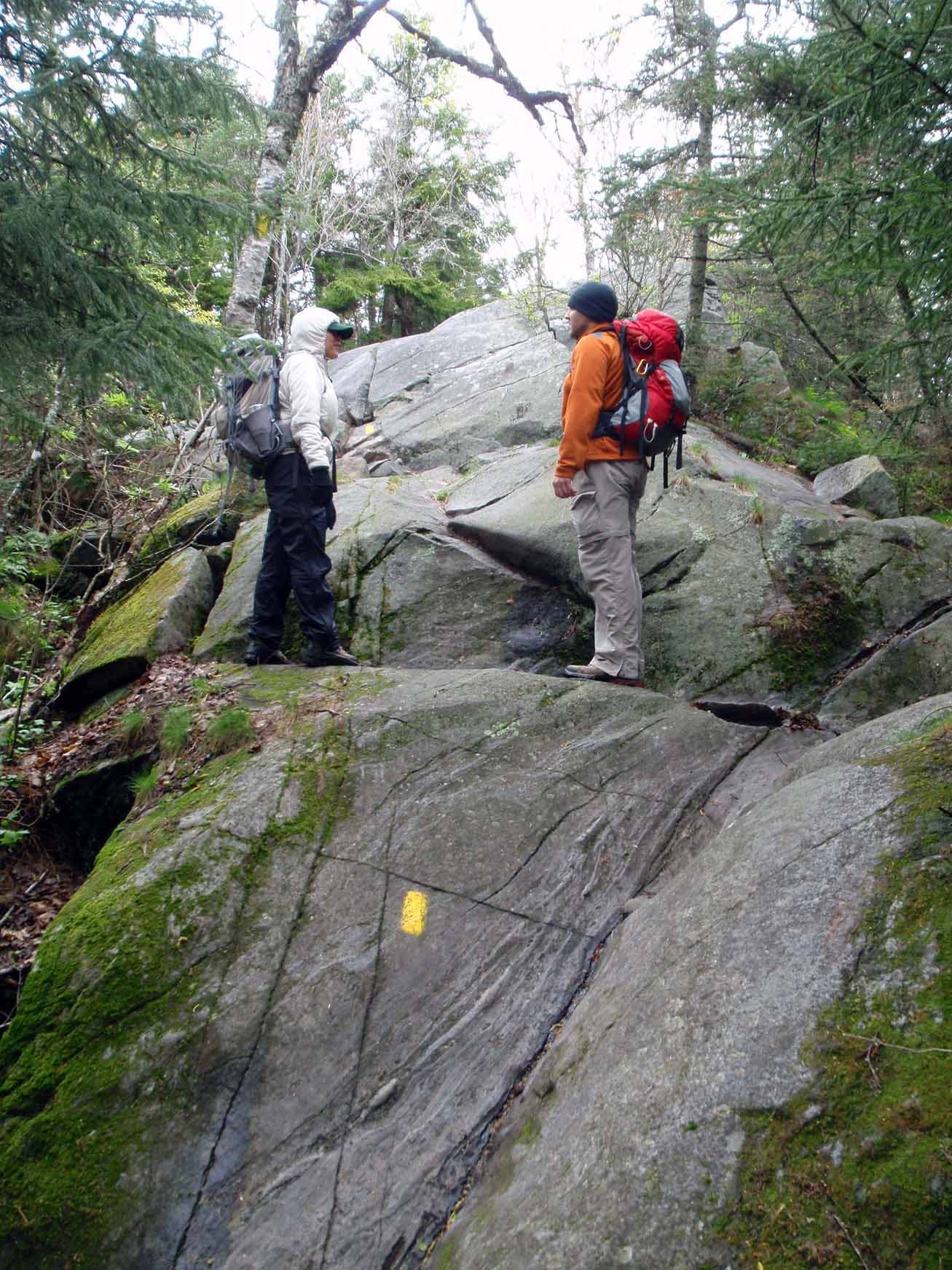
The Ridgepole Trail continues straight but a spur trail via the cliffs enters on the left. Both trails lead to the summit of Morgan. The cliffs route involves climbing several ladders, crawling through a narrow series of caves, and then scrambling hand-over-hand up several cliffs. This mapped route requires some basic technical climbing skills and is more difficult then staying on the Ridgepole Trail to the summit. The spur path continues over the summit and down the other side so you don’t have to return down the technical route.
MRG007
Location: 43.8036705, -71.5661001
Mount Morgan: A large open ledge summit provides great place to take a break and enjoy the views of Squam Lake.
MRG008
Location: 43.8037789, -71.5649951
The technical spur trail from the summit rejoins the Ridgepole Trail. Bear left to continue on towards Percival. Ahead there are a few more scrambling sections en route to Mount Percival.
MRG009
Location: 43.8096092, -71.5571308
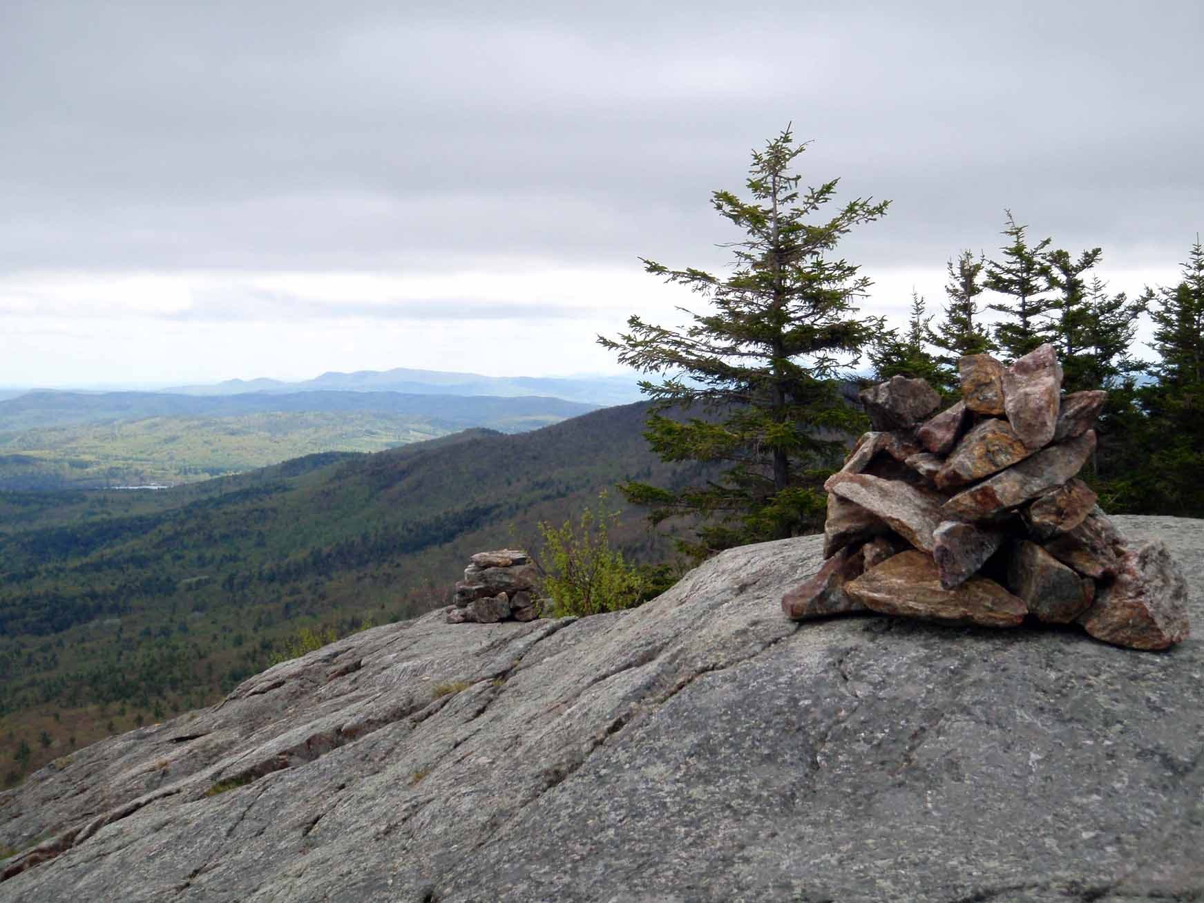
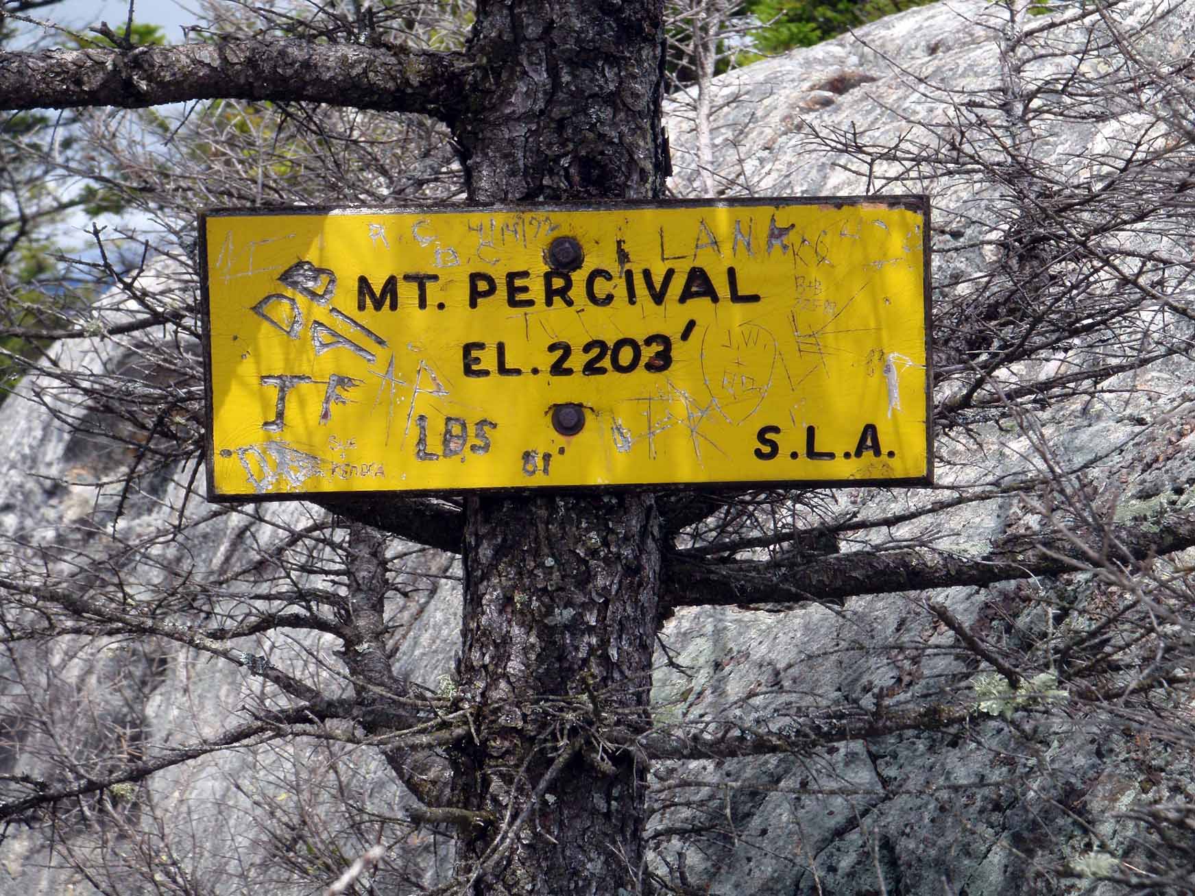
Mount Percival: The summit is open with great views in all directions. The trails atop this summit are the only ones along the entire loop that are not clearly identified. The Ridgepole Trail towards Mount Squam exits northeast; the Mount Percival Trail heads off in two different directions: the easier “cliffs” option heads southeast (marked with yellow blazes) while the more difficult “caves” option (marked with cairns) heads southwest. The caves option requires you to pass through very tiny openings, both are a tight squeeze even without a pack.
MRG010
Location: 43.8090411, -71.5565052
Here the “caves” option and the “cliffs” option merge back into the Mount Percival Trail.
MRG011
Location: 43.8015023, -71.5513802
Just after a warning sign, the trail crosses Smith Brook.
MRG012
Location: 43.793224, -71.5485263
Turn right onto Morse Trail. The Mount Percival Trail continues straight down to NH 113, but then you must return to the parking lot on the road.
MRG013
Location: 43.7908464, -71.552158
Continue straight as the Morse Trail crosses an unnamed trail that goes left and right. Continue following the blazed trail back to Waypoint 2; from there, turn left to continue down to NH 113 and the parking lot.
The Caves Cairns
Location: 43.8095318, -71.5570664
Cairns marking the more technical route down Percival.
Trailhead
Location: 43.7892742, -71.5487623
Amibguous Crossing
Location: 43.7891503, -71.5542877
Continue straight on Mount Morgan Trail.
Junction
Location: 43.7893361, -71.5559506
Rock Path
Location: 43.7933092, -71.5627527
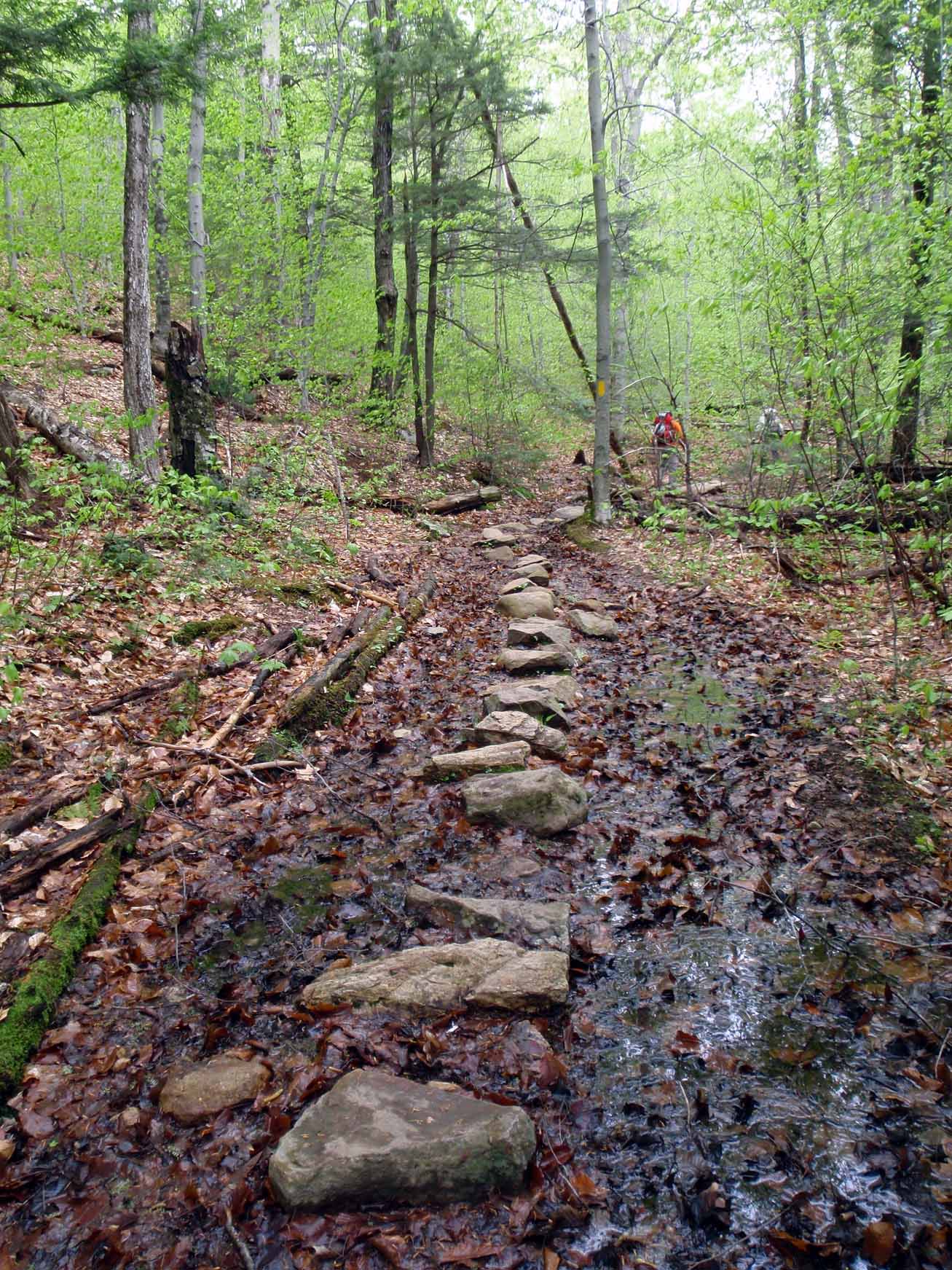
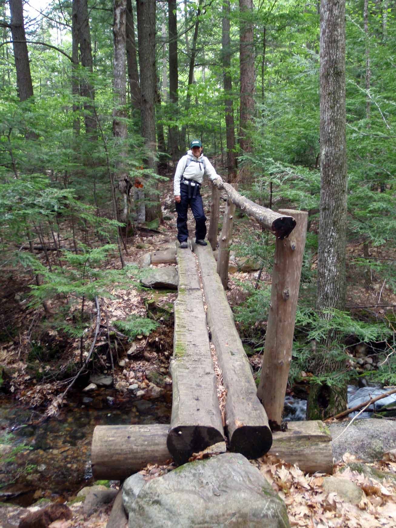
Maintenance crews have created rock bridges to help protect the trail and keep your boots dry.
Ridgepole Junction
Location: 43.800155, -71.5658534
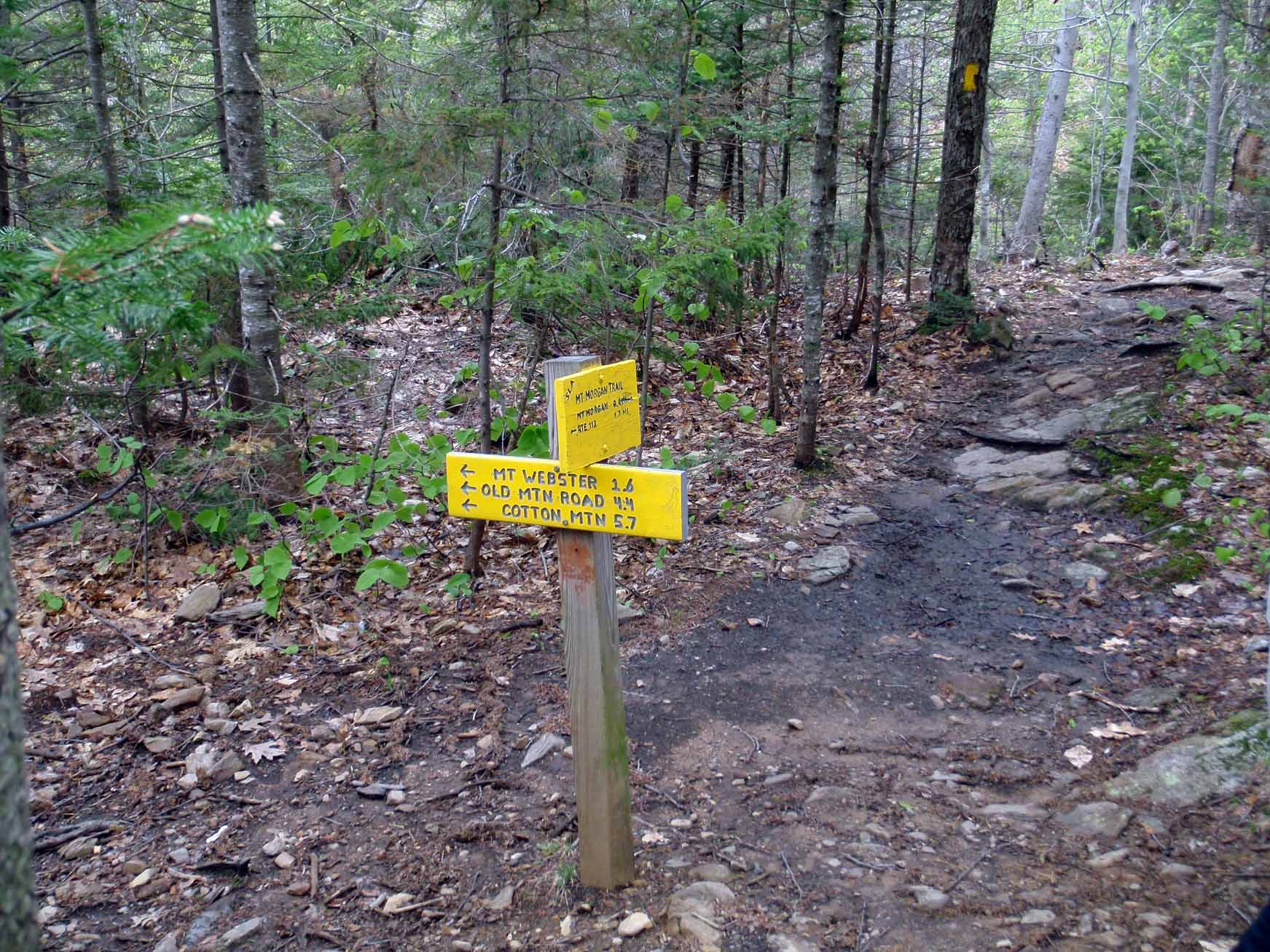
Bear right to continue towards Mount Morgan.
Rock Stairs
Location: 43.8007203, -71.5659499
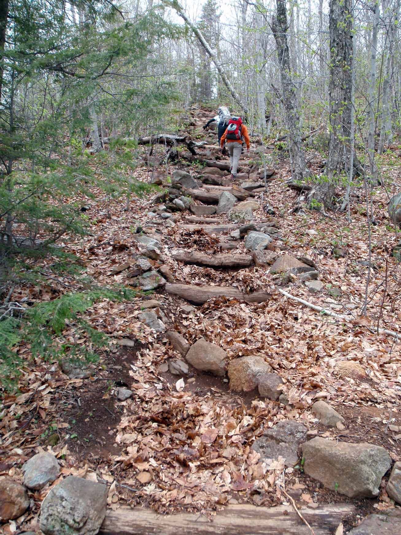
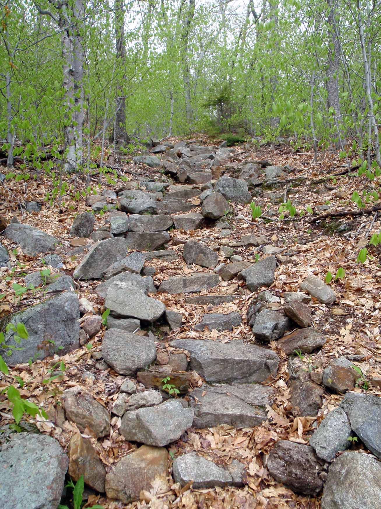
Rock steps aid hikers over some steep sections along the trail.
Mount Webster View
Location: 43.8009913, -71.5659928
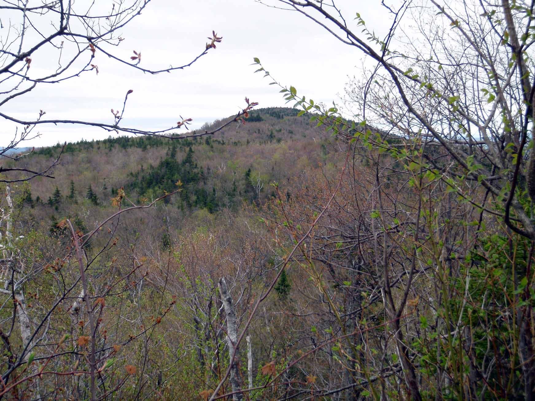
A clearing in the trees reveals a view of Mount Webster to the southwest.
The Cliffs Route
Location: 43.8027026, -71.5657139
Continue left to tackle the Morgan summit via the more technical cliffs route, or continue straight for a less technical approach on the Ridgepole Trail.
The Ladders
Location: 43.8028652, -71.5660679
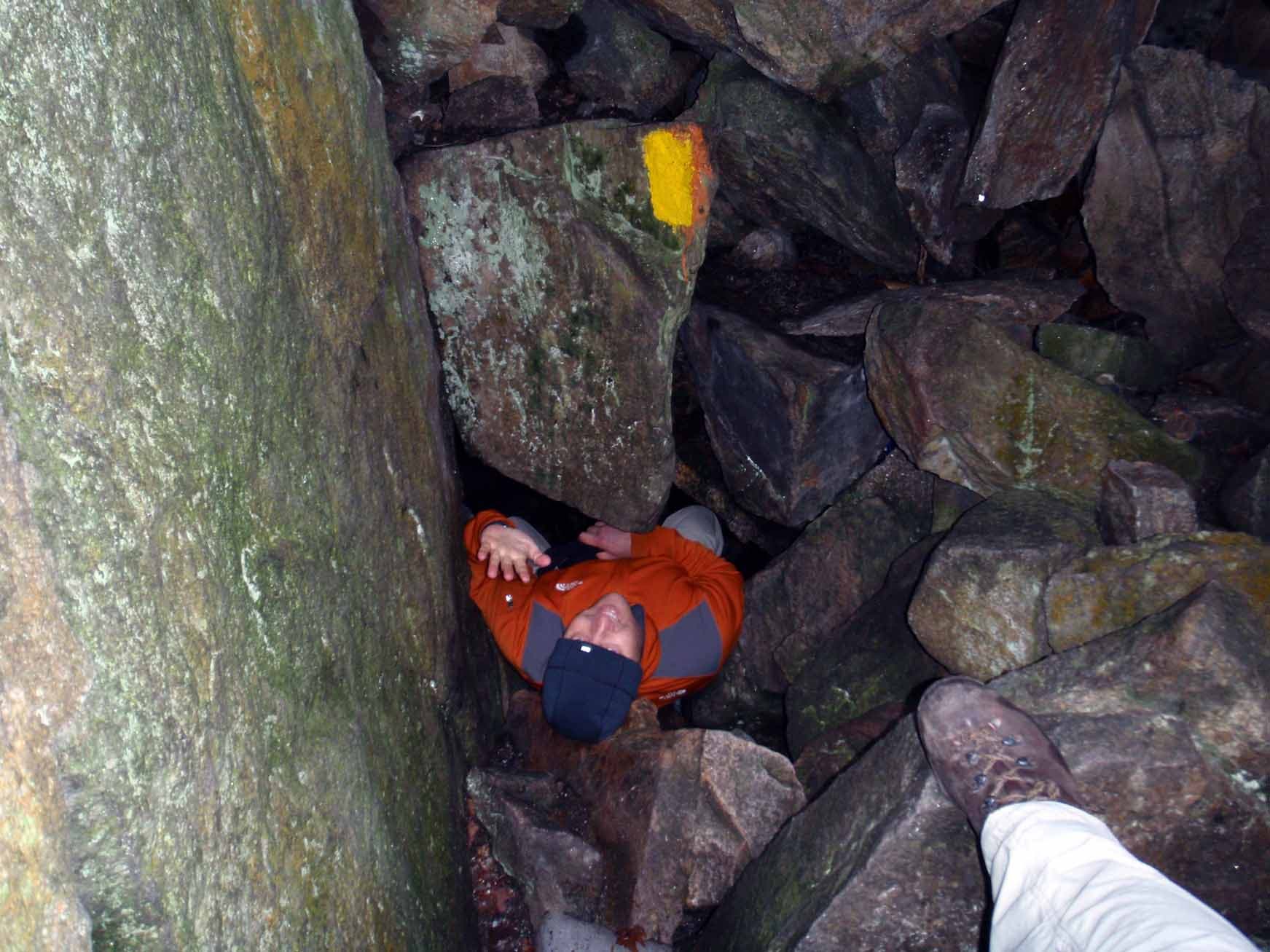
On the technical route up Morgan there are ladders in place to help climb the cliffs. Be careful when moving off of the top of the second ladder to the base of the third ladder; there is a rock overhang that can catch your back and cause you to loose your balance. The dark area to over the left shoulder of the climber in orange is the entry to the caves.
The Caves
Location: 43.8029736, -71.5661001
It may be necessary to remove packs to pass through easily.
The Cliffs
Location: 43.8031594, -71.5660572
Footing is generally good but some sections were narrow and others may require hand-over-hand moves.
Squam Lake View
Location: 43.8036782, -71.5659606
Looking southeast from the Mount Morgan summit.
Rejoining Ridgepole
Location: 43.8037711, -71.5648985
Bear left to continue on towards Percival.
Blazed Scramble
Location: 43.8044758, -71.5645015
Mount Percival
Location: 43.8096247, -71.557045
Through the Caves
Location: 43.8090595, -71.5563476
Heading down Percival
Location: 43.8076426, -71.5543199
Stream Crossing
Location: 43.8014869, -71.5511012
Bridge Crossing
Location: 43.7931079, -71.5495455