Published September 20, 2013 03:31PM
White Mountain National Forest: Mount Madison
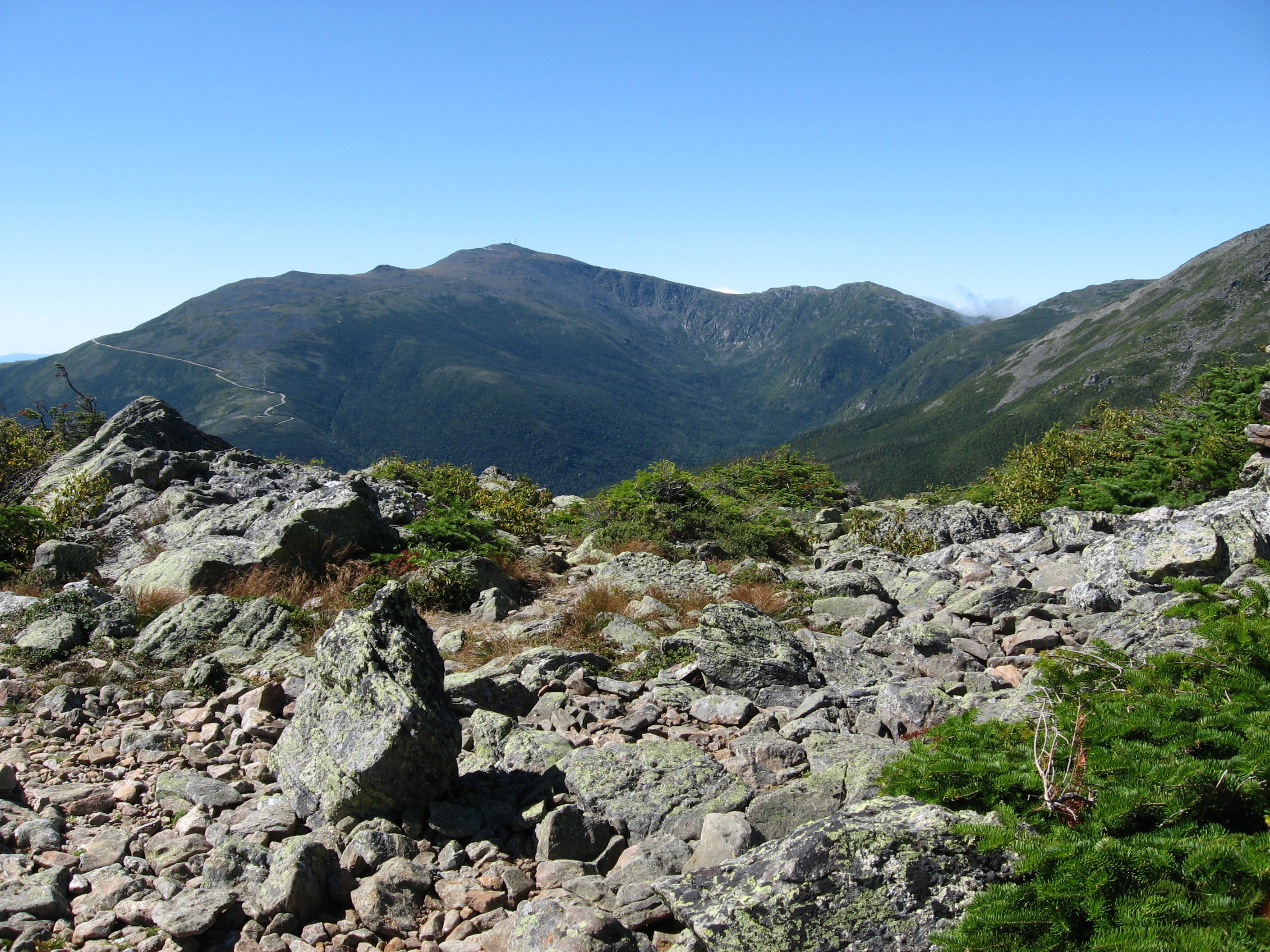
This steep 7.8-mile hike climbs through deep forest and alpine tundra to the summit of one of New Hampshire's famed Presidentials for views as far as Maine.
'Fredlyfish4'
Trail Facts
- Distance: 6.3
Waypoints
MMP011
Location: 44.3287925720215, -71.2767181396484
Mt. Madison (5,367 ft.); return to trailhead
Optional: Add 2-3 hours by hiking SW to Mt. Adams, or overnight near Madison Hut
MMP001
Location: 44.371524810791, -71.2710647583008
Begin curving ascent on Howker Ridge Trail
MMP002
Location: 44.3632202148438, -71.2712478637695
Trail tracks along bumpus Brook to Coosauk Falls; stay on Howker
MMP003
Location: 44.3621025085449, -71.2713851928711
Keep straight @ junction with Kelton Trail
MMP004
Location: 44.3588981628418, -71.2704010009766
Hitchcock Falls; hike up steep ledge into quiet evergreen forest
MMP005
Location: 44.3540573120117, -71.2622146606445
Blueberry Ledge; follow rocky crest into col
MMP006
Location: 44.3402786254883, -71.2614288330078
First in a series of “howks,” or small nameless peaks
MMP008
Location: 44.3330001831055, -71.2688751220703
Climb rocky steps to open view
MMP009
Location: 44.3297348022461, -71.2719345092774
Veer R along marked trail
MMP010
Location: 44.3300323486328, -71.2752075195312
Swing SE up mountain
MMP007
Location: 44.3345146179199, -71.2671051025391
Stay straight @ Pine Link Trail