White Mountain National Forest: Kinsman Mountain

From an easy-to-miss trailhead along NH 116, the blue-blazed Kinsman Trail gains over 4,000 feet of elevation on its way up to the twin peaks of Kinsman Mountain (both 4,000-footers). Begin hiking through light forest, bearing right at junctions where old logging roads cross the trail and crossing the occasional drainage. After 2.6 miles, the grade eases briefly at a spur trail junction to Bald Peak—a short detour leads to a ledge overlook, but more phenomenal views await further up the trail.
After another 1,400 feet of climbing, the blue-blazed trail ends as the route joins the white-blazed Appalachian Trail (which shares its tread with the Kinsman Ridge Trail) at mile 4.1. From here, hike up the ridge spine above Kinsman Pond and Lonesome Lake on the approach to the forested summit of North Kinsman—catch occasional clearing views east of Franconia Ridge and Mount Lafayette on the climb. After descending to the saddle of Kinsman Mountain, this route makes its final climb up to South Kinsman for more unobstructed views of White Mountain National Forest. Enjoy the panoramas before backtracking down to the trailhead.
-Mapped by Michael Blair







Trail Facts
- Distance: 16.3
Waypoints
KIN001
Location: 44.1659136, -71.7661715
Park along the road south of the hard-to-spot trailhead (no parking available at trailhead). A logging road leaves the east side of the road at this parking area, but it’s not the official entry point for the trail. Walk northeast along the road about a quarter mile to begin hiking.
KIN002
Location: 44.1693691, -71.7638433
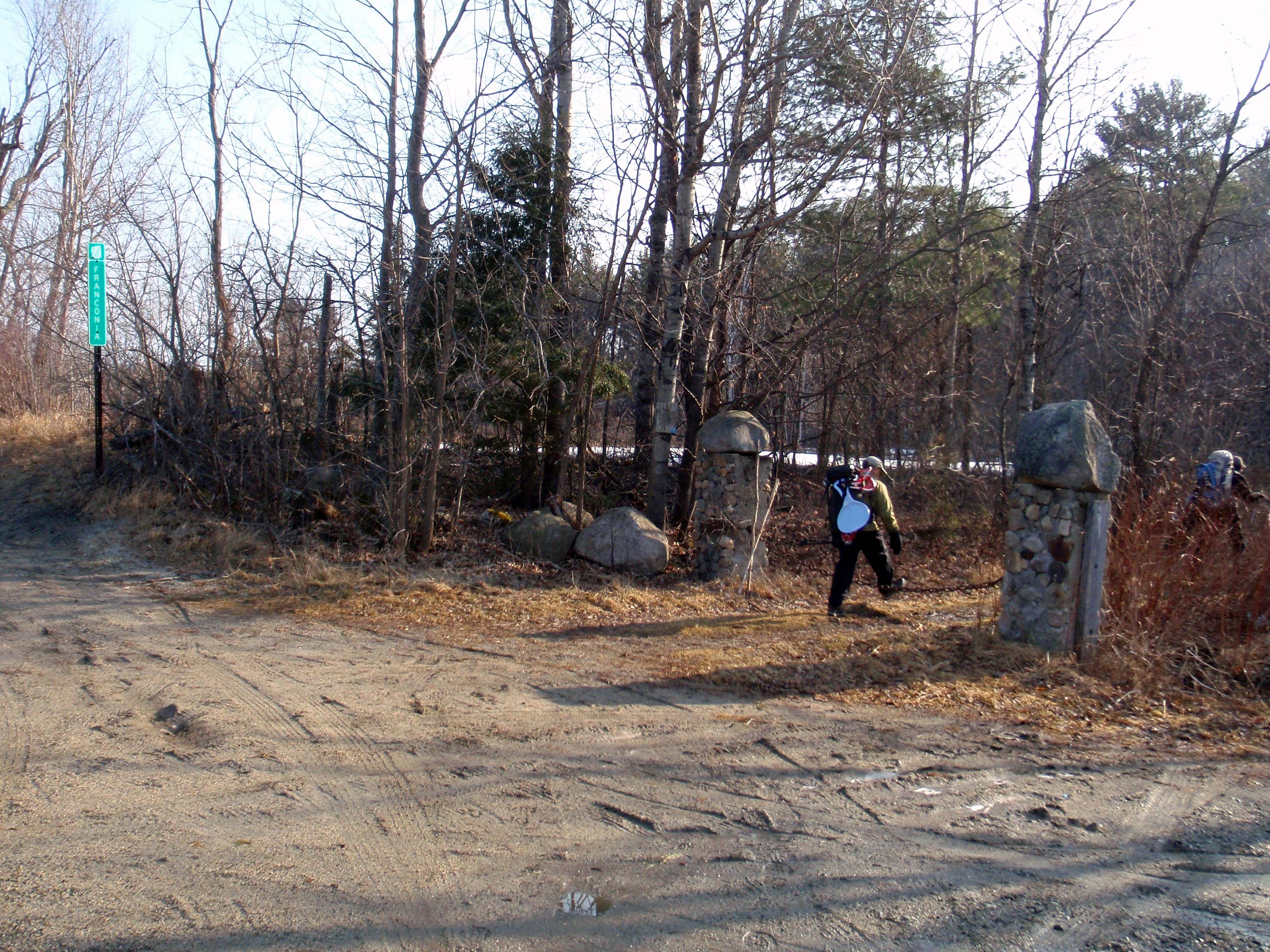
The unsigned trailhead is located behind two stone columns and a chain a few yards away from the townline. Turn right off the road onto the blue-blazed Mount Kinsman Trail. Take care to stay on the blazed trail at intersections with logging roads. Unless otherwise noted, on the way up to Kinsman, most junctions go right (left on the way down).
KIN003
Location: 44.1648977, -71.7585969
Continue straight on the blue-blazed trail at this junction.
KIN004
Location: 44.1638506, -71.7561306
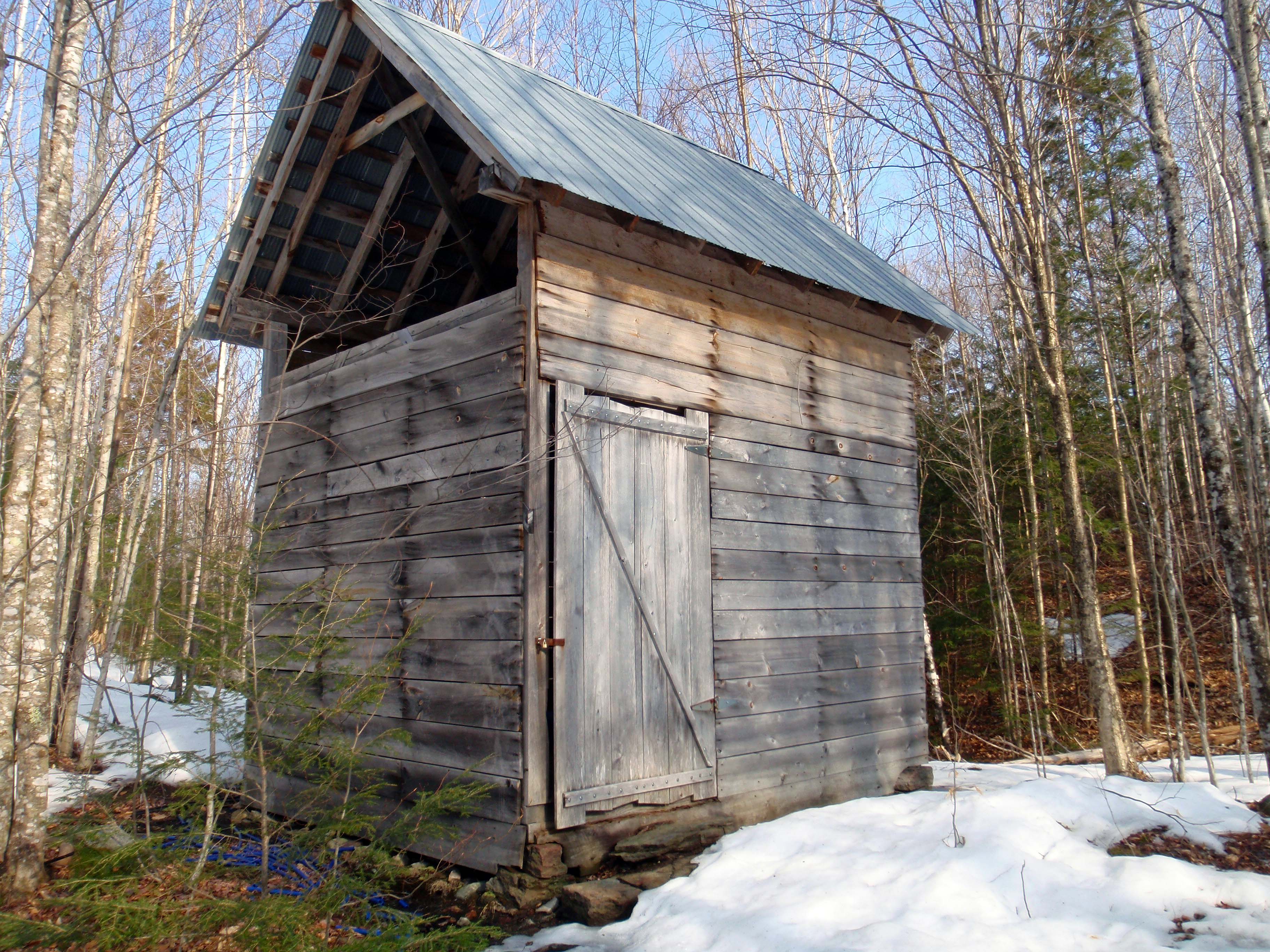
Continuing a steady climb, the trail passes an old sugarhouse on the left.
KIN005
Location: 44.1613189, -71.7554748
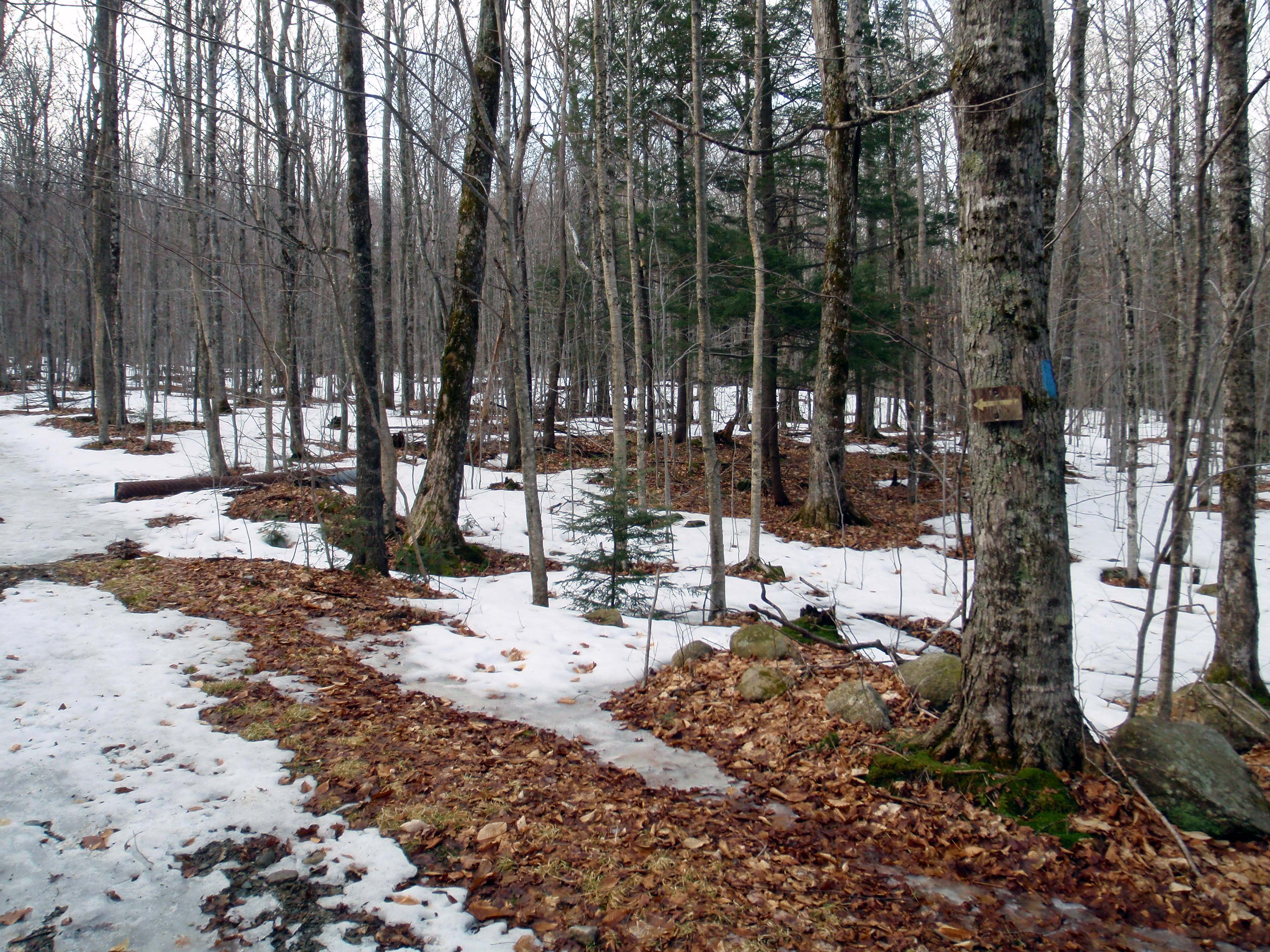
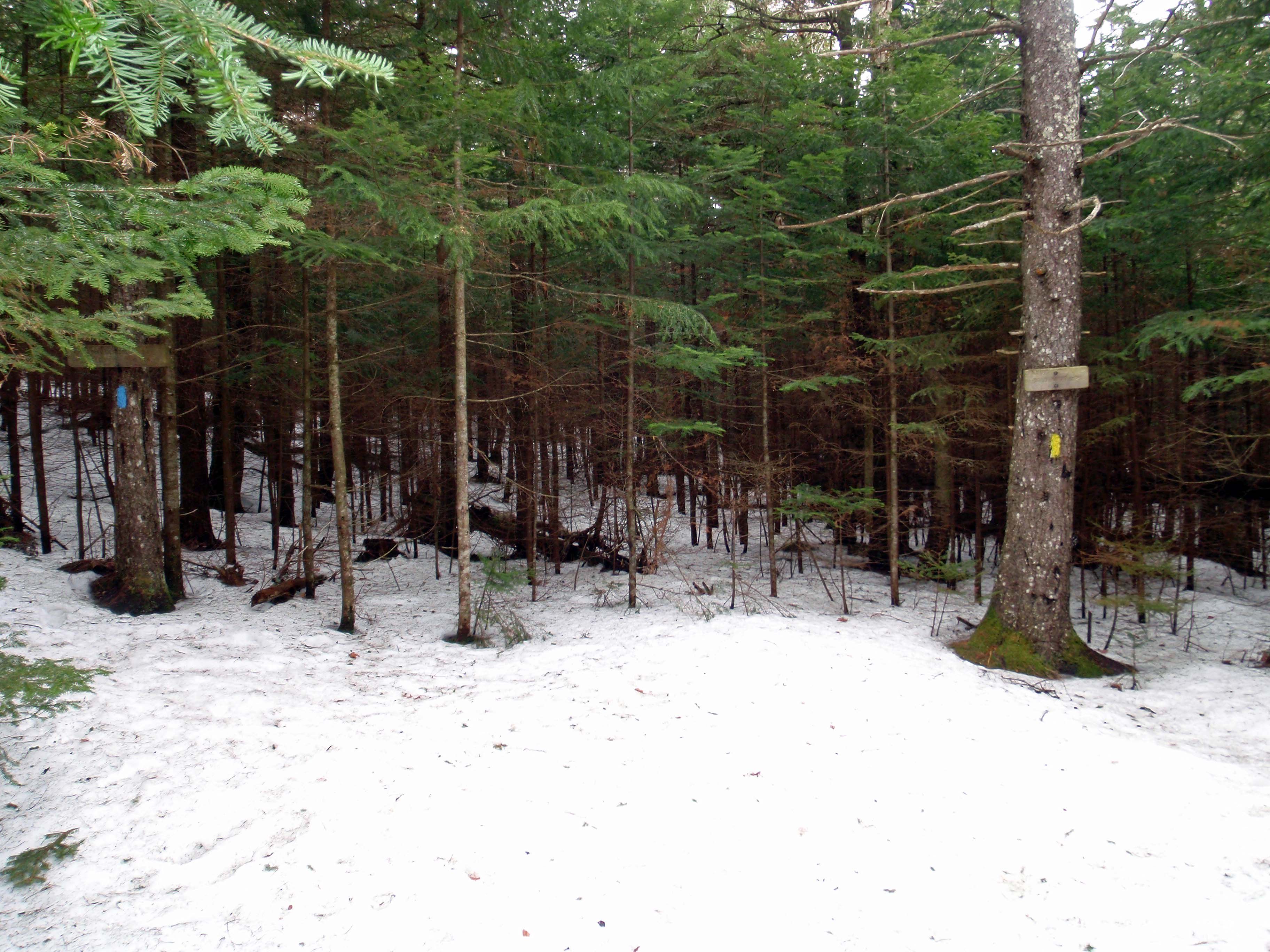
At a 4-way junction with a logging road, look for a blue blaze on a tree with an arrow pointing in the right direction (straight). Then continue over a small footbridge.
KIN006
Location: 44.1590407, -71.7519557
The trail zigzags (first to the right, then left), following double blazes as it enters White Mountain National Forest. The grade ticks up a bit here and steepens gradually until cresting Bald Peak in 1.1 miles (and 800 feet).
KIN007
Location: 44.1562697, -71.7461514
Cross a brook before tackling a short, steep stretch.
KIN008
Location: 44.1528801, -71.7466341
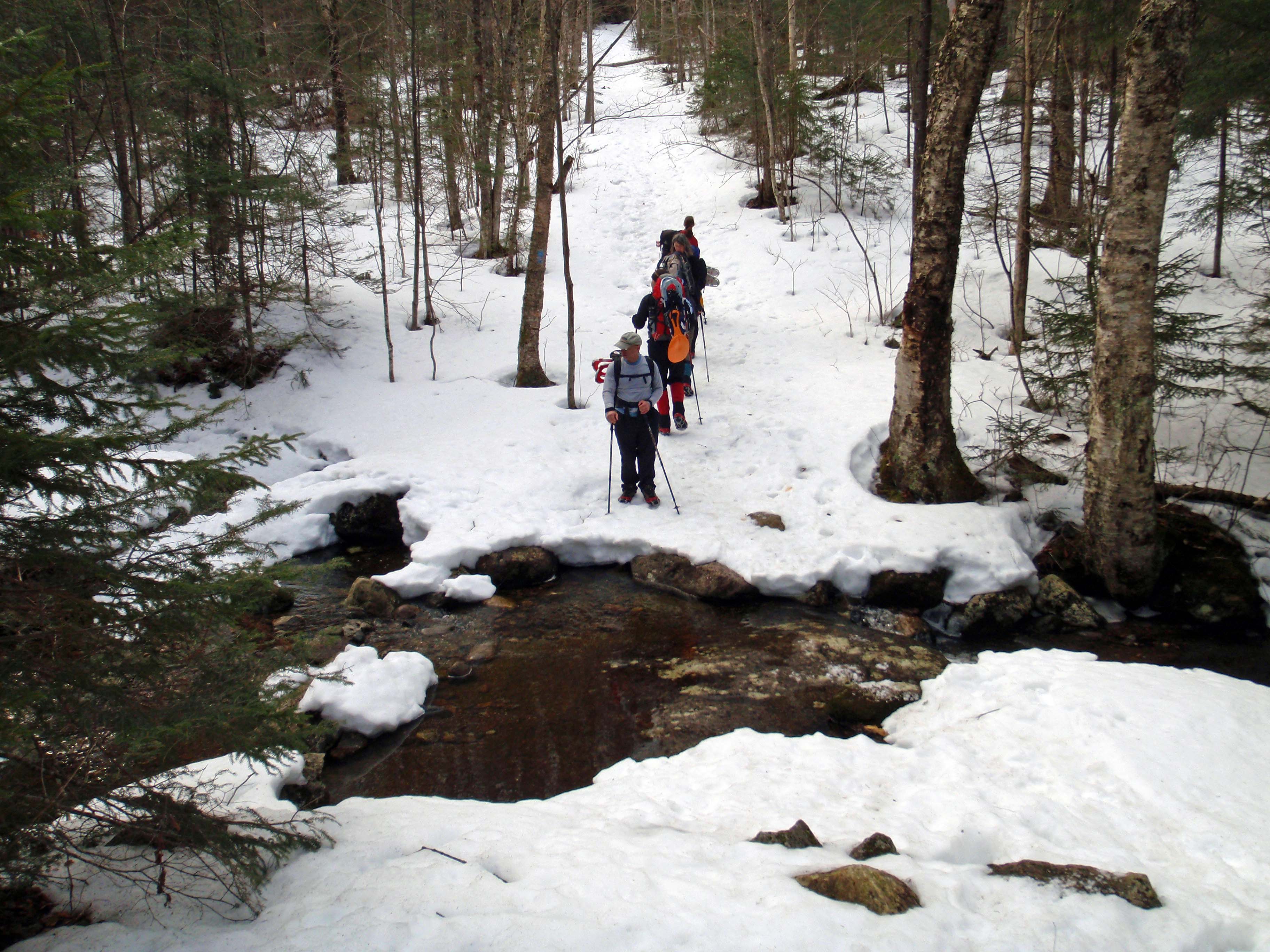
The trail passes a waterfall (not visible in winter). This stream crossing can be messy in spring.
KIN009
Location: 44.1492615, -71.7485406
Just before leveling out near Bald Peak, the trail heads uphill past the Flume Brook Trail, which shoots off to the right (descending about 150 yards to a distinctive rock overhang).
KIN010
Location: 44.148928, -71.7483719
As the climb levels out, the trail meets a junction to Bald Peak. For minor summit views, take the yellow-blazed spur trail (right) for 0.2 mile to a ledgy overlook. To the left, the blue-blazed Kinsman Trail continues east on a more shallow climb (the steepness increases over the next mile).
KIN011
Location: 44.1426361, -71.7369139
Look for a double blue blaze and follow the trail to the right. Here an old trail continues straight but has been re-routed to the right. From here, it’s another 1,000 feet of climbing up to North Kinsman.
KIN012
Location: 44.1374313, -71.7346501
At the Kinsman Ridge trail junction, turn right to join the white-blazed Appalachian Trail. Look up and to the right for views of the Kinsman peaks and left down to Kinsman Pond and Lonesome Lake. This stretch of the trail along the AT, is likely to be more popular than the approach on the Kinsman Trail. As you continue up the ridge towards the north peak of Kinsman, look west-northwest for occasional views of the Franconia Ridge peaks, including Mount Lafayette.
KIN013
Location: 44.1334015, -71.7368122
North Kinsman (4,293 ft.): From here the AT descends 250 feet down to the saddle of Kinsman Mountain before picking up the climb to South Kinsman.
KIN014
Location: 44.1231157, -71.736517
Near the summit of South Kinsman, an opening in the ledge appears to be the high point but the cairn indicating the true summit is 100 yards further along the trail. Tag both, just to be safe.
KIN015
Location: 44.1222685, -71.7383194
South Kinsman (4,358 ft.): Marked by a large cairn, the summit of South Kinsman affords panoramic views the Franconia Ridge peaks. Take a breather before backtracking along the same route down to NH 116.
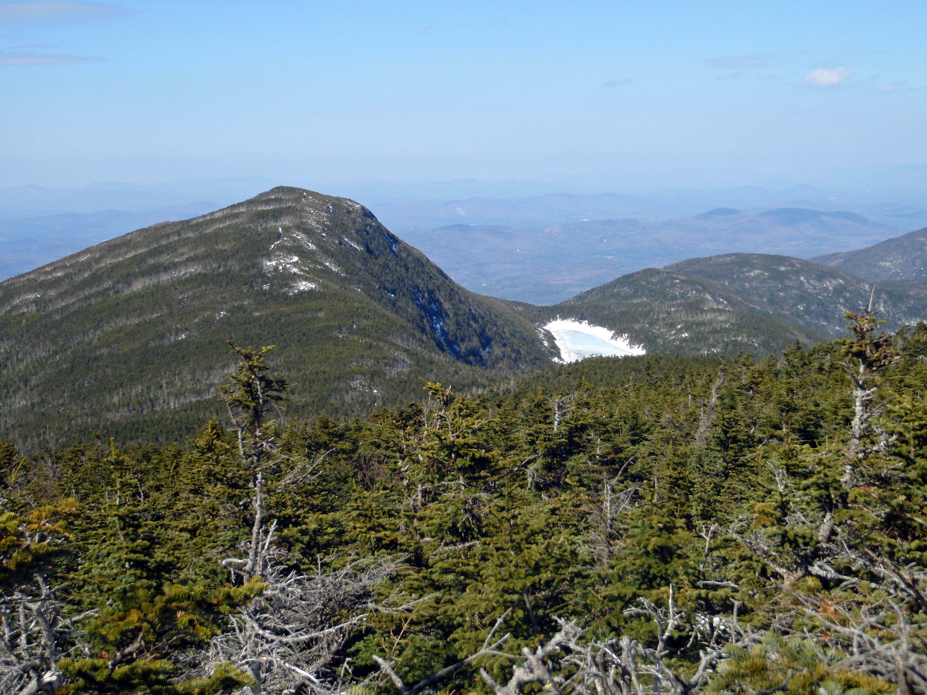
View of North Kinsman
Location: 44.1231157, -71.7362809
Near the summit of South Kinsman, looking back to North Kinsman and Kinsman Pond (covered in snow).
Unsigned Trailhead
Location: 44.1693691, -71.763736
No parking is available at the trailhead; begin the hike a quarter-mile south at a roadside pull-off.
Stay Right
Location: 44.1682147, -71.7622125
The first of many logging road junctions where the trail veers right (on the way uphill).
Trail in the Middle
Location: 44.1648824, -71.7584467
The blue-blazed trail is in the middle at this junction (to the right in this photo).
Abandoned Sugar House
Location: 44.1638434, -71.7558932
Follow the Blaze
Location: 44.1613266, -71.7553675
Look for the blue blaze at this 4-way junction.
Footbridge
Location: 44.161265, -71.7553139
National Forest Boundary
Location: 44.1590483, -71.751827
Brook Crossing
Location: 44.1562697, -71.7458725
Wooded Walkway
Location: 44.1500653, -71.7485332
A tree tunnel just below Bald Peak.
Bald Peak Junction.
Location: 44.1489722, -71.7481041
A yellow-blazed spur trail leads to a ledgy overlook.
Winter Blaze
Location: 44.1349596, -71.7358625
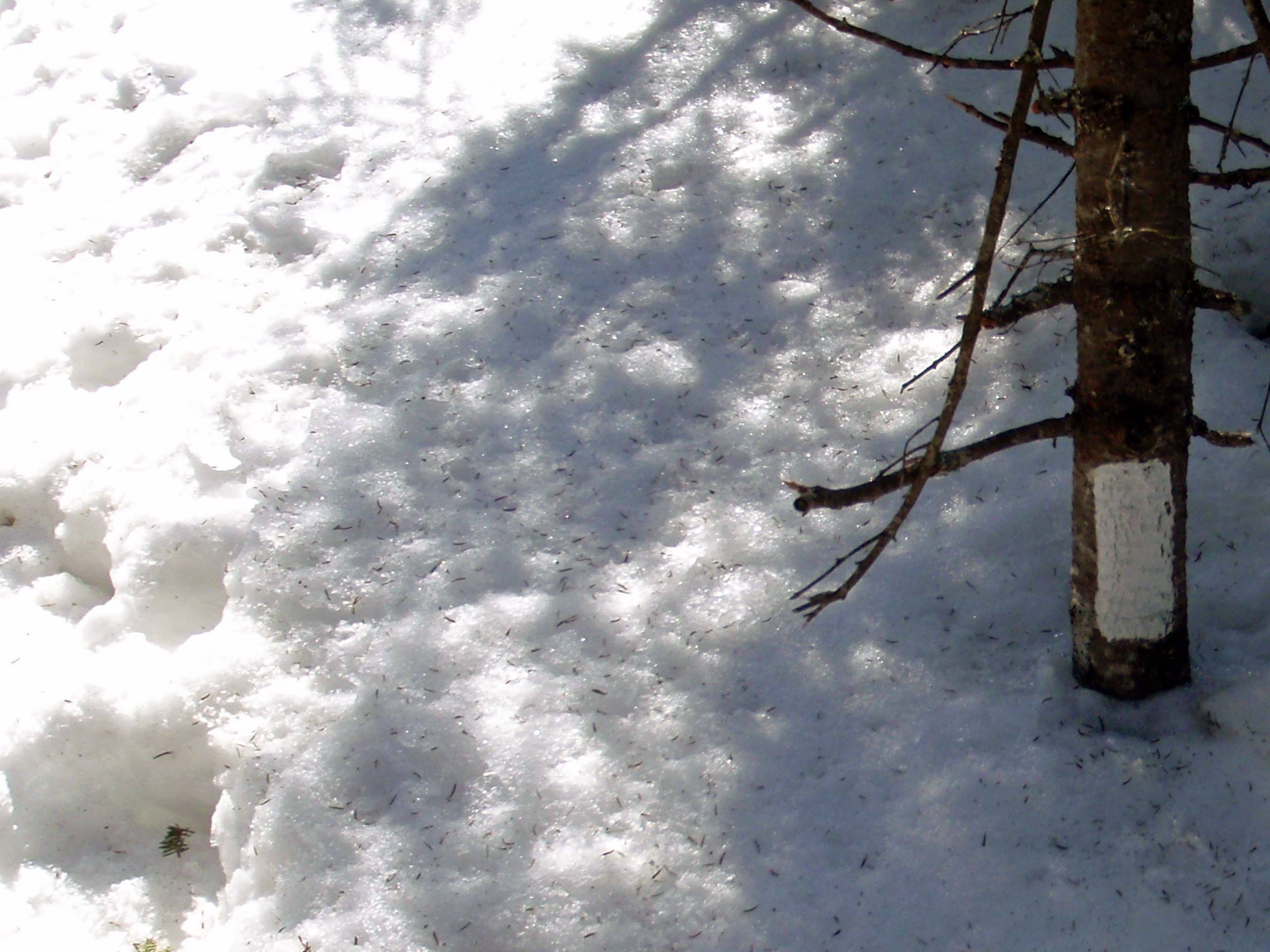
A white blaze just visible above the snowline. In the summer, these trail blazes are at eye level.
Franconia Ridge View
Location: 44.1347671, -71.735884
On the climb up to the North Peak of Kinsman, look northwest to Mount Lafayette and the Franconia Ridge peaks.
Summit View
Location: 44.1222685, -71.7380619
Franconia Ridge peaks from left to right: Lafayette, Liberty, Haystack, Lincoln, and Flume.