Become a Member

Get access to more than 30 brands, premium video, exclusive content, events, mapping, and more.

Already have an account? Sign In

Become a Member

Get access to more than 30 brands, premium video, exclusive content, events, mapping, and more.

Already have an account? Sign In

Brands

Idaho Trails

White Cloud Loop

This overlooked locals-only jewel across the Salmon River Valley from the more-famous Sawtooth Mountains delivers solitude and adventure on a 32-mile partly off-trail loop.

Heading out the door? Read this article on the new Outside+ app available now on iOS devices for members! Download the app.

White Cloud Loop
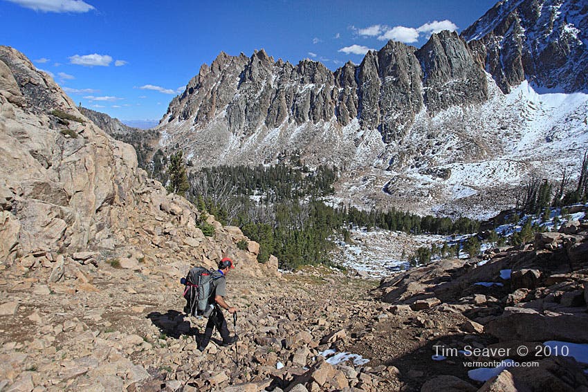
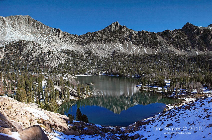
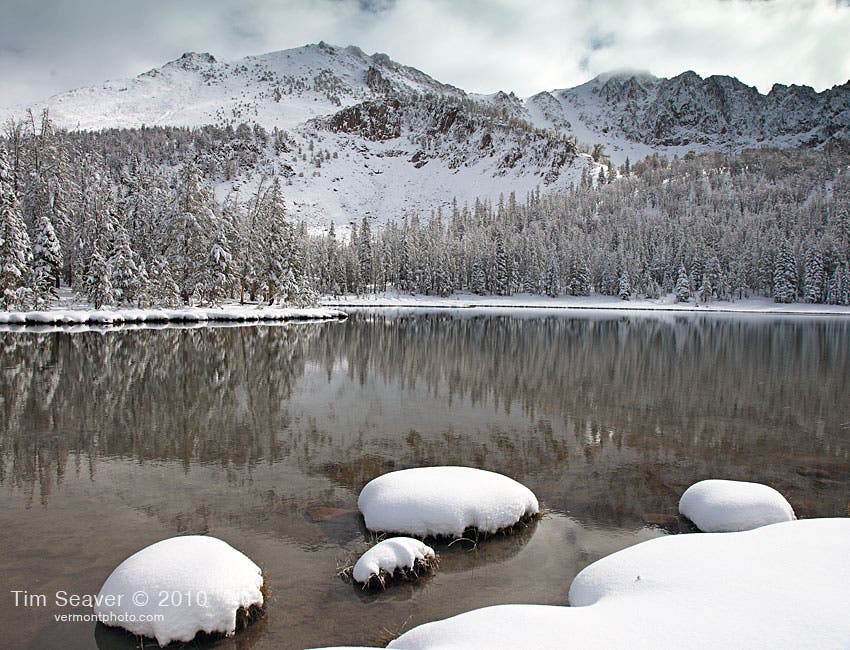
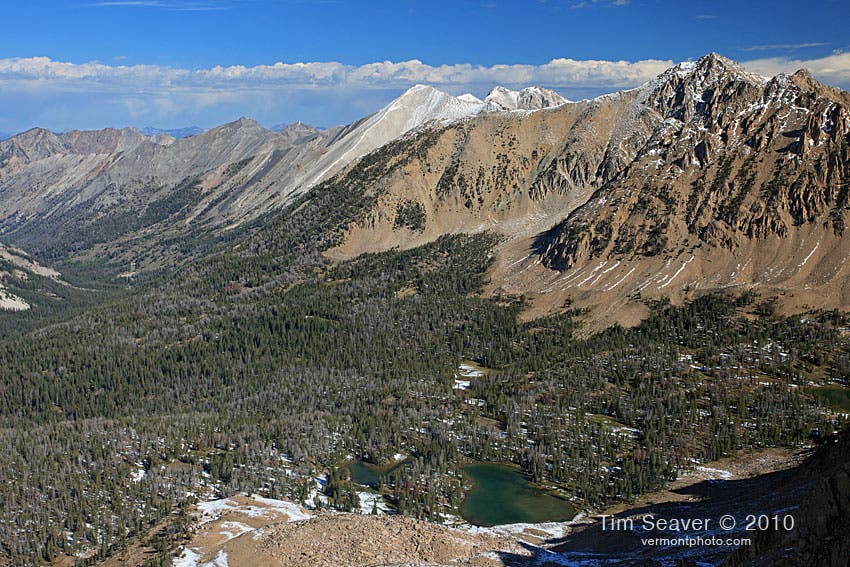
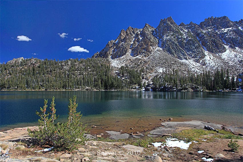
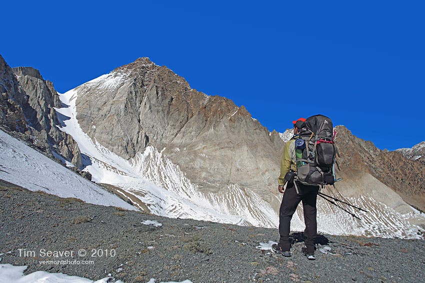
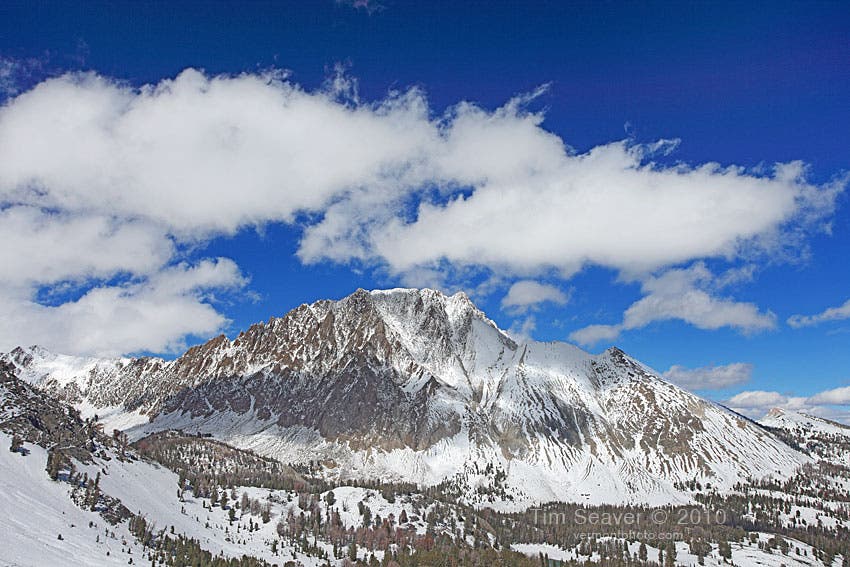
Named for the snow-white rock of several peaks, the range was part of a failed national-park proposal 40 years ago. The result instead was the creation of the Sawtooth National Recreation Area—an outcome that, ironically, helped preserve the obscurity of the White Clouds. The upshot is that you can have mountains that evoke Yellowstone’s Gallatin Range or Absarokas, with elk, mountain goats, bighorn sheep, black bears, and even gray wolves—almost to yourself. Our choice route: a 32.5-mile, partly off-trail (hiking, no scrambling) loop from Fourth of July Creek trailhead on the west side of the range. Follow Trails 109 and 219 for 2.1 miles to the saddle between Blackman and Patterson Peaks, then head off-trail over 10,872-foot Patterson Peak—with an amazing 360 of the White Clouds. Descend into Four Lakes Basin and camp at the northern tip of Quiet Lake or the outlet of Noisy Lake. Day two, ascend off-trail past Shallow Lake, cross Windy Devil Ridge, and drop into the valley of the trout-rich Boulder Chain Lakes, ringed by craggy, white peaks. Find good camping at Hatchet or Baker Lake. Day three, hoof southwest via Trails 47 and 110 to Chamberlain Basin, a lake-dotted cirque below the 2,500-foot-tall south face of Castle Peak, the range’s highpoint at 11,815 feet. Pack a bear canister—bruins here raid hangs.

En route to Chamberlain Basin on day three, make the 1.5-mile round-trip, off-trail side trip to visit secluded Castle Lake. It sits at 9,419 feet in a small cirque bounded by the sheer cliffs of Merriam and Castle Peaks.

None
None
None
None
None
None
None
None
None
None
None

Trail Facts

  • Distance: 45.7

Waypoints

Fourth of July Trailhead

Location: 44.046564, -114.657631

Junction with Trail to Born Lakes

Location: 44.045563, -114.634277

Leave Trail for Ridge

Location: 44.049009, -114.630089

Ants Basin from Patterson Peak

Location: 44.048544, -114.618621

Gain Ridge Here

Location: 44.051019, -114.625754

Head for the ridge, just below a clump of trees.

True Summit of Patterson Peak

Location: 44.048421, -114.618562

From here, head down the jagged Northeast ridge.

Northeast Ridge Of Patterson Peak

Location: 44.049982, -114.615578

Leave the ridge here, heading Southeast using the broad scree gullies leading to Four Lakes Basin.

Base of Gully

Location: 44.048733, -114.614031

Bear left (NE) here to thread between Rock and Emerald Lake.

High Camp at Rock Lake

Location: 44.050317, -114.609665

One of the many small lakes that have a good population of fish.

Thread The Saddle

Location: 44.051478, -114.606693

At the North end of Emerald Lake, head West and a bit south through a saddle leading into a steep U-shaped gully.

Descent to Quiet Lake

Location: 44.0512, -114.605706

The cross country descent to Quiet Lake features this steep and loose gully for starters – find the top of this gully by heading west into a shallow notch after passing Emerald Lake.

U-Shaped Gully

Location: 44.05016, -114.601969

Follow the Drainage

Location: 44.051028, -114.595236

Gain the West side of the inlet into Quiet Lake to pick up a faint scratch trail.

Stone Jetty at Quiet Lake

Location: 44.054071, -114.595312

One of the more serene spots on the loop, this small stone jetty at Quiet Lake.

North End of Quiet Lake

Location: 44.057295, -114.593678

Faint trail ends. From here you can either cross a loose hillside of talus and negotiate some easy scrambling by following this route, or you can stay closer to the drainage coming from to Scree Lake.

Scree Lake Inlet

Location: 44.062149, -114.596822

Cross the inlet to gain the Northeast bank of Shallow Lake

Shallow Lake

Location: 44.063832, -114.598417

From the Northeast corner of Shallow Lake, snake up the shallow open gully to the north.

Tiny Pond

Location: 44.067355, -114.599552

Picking up the trail once again, you bear Northeast and contour towards the top of Windy Devil Pass.

Top of Windy Devil Pass

Location: 44.070155, -114.596002

Switchbacks from here to just above Scoop Lake.

Bottom of Switchbacks

Location: 44.072025, -114.597295

Hummock Lake From Scoop Lake Outlet

Location: 44.074128, -114.593217

This view greets you as you make the steep drop from the outlet of Scoop Lake towards Hummock Lake.

Camp at Hummock Lake

Location: 44.077203, -114.590933

Sliderock Outlet

Location: 44.070214, -114.572654

Talus

Location: 44.069045, -114.571242

Frog Lake Juct.

Location: 44.074065, -114.557579

East Fork Salmon River Trail Junction

Location: 44.063343, -114.54564

Baker and Castle Lake Trail Jct.

Location: 44.055805, -114.556876

Another Small Bridge

Location: 44.054163, -114.557757

Bridged Stream

Location: 44.049264, -114.561065

A Fine Meadow

Location: 44.04498, -114.56786

Wickup Trail Junction

Location: 44.043596, -114.566037

Castle Divide Viewpoint

Location: 44.036008, -114.571685

This viewpoint is just slightly off the trail, a small gray hump at Castle Divide. This is one of the best places to see elk.

Castle Peak

Location: 44.013188, -114.600964

Crest

Location: 44.032463, -114.571537

Switchbacks

Location: 44.028031, -114.575462

Junction Little Boulder Creek

Location: 44.026266, -114.583073

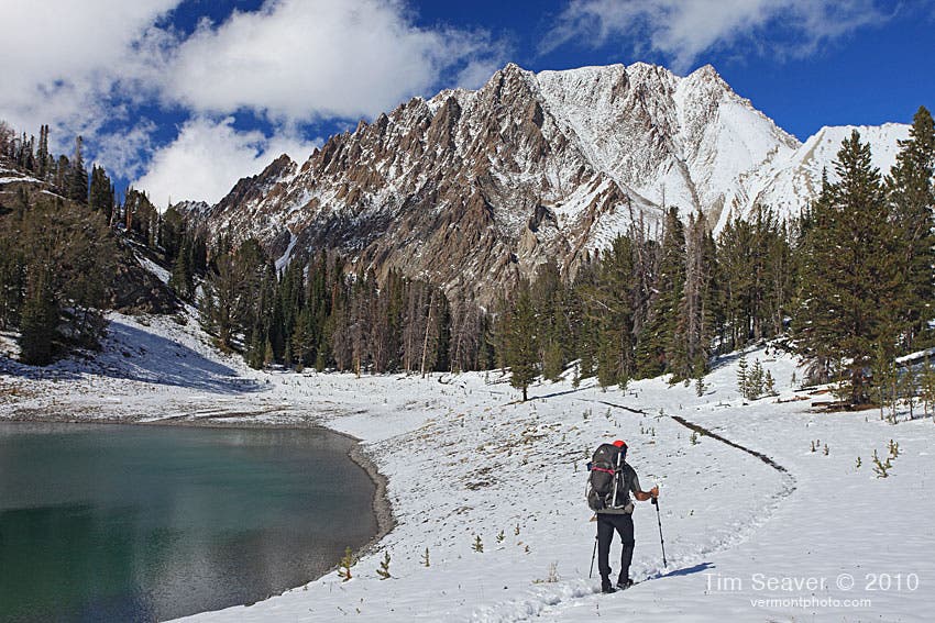
Chamberlain Basin and Castle Peak

Location: 44.027226, -114.589763

Heading into Chamberlain Basin after a September snowstorm, with Castle Peak gleaming under a perfect sky.

Upper Lake Jct.

Location: 44.026828, -114.590235

Camp at Upper Chamberlain Basin

Location: 44.029425, -114.594732

Stock Jct.

Location: 44.030134, -114.601984

Upper Chamberlain Lake

Location: 44.031767, -114.602041

Faint Old Jct.

Location: 44.018251, -114.601125

Germania Junction

Location: 44.000498, -114.610802

Amazing View!

Location: 44.000548, -114.610711

At this junction, it’s well worth taking a few steps out into the opening that beckons for a great view of the Boulder Mountains to the South.

Germania Creek Jct.

Location: 44.022657, -114.618146

Washington Lake Panorama

Location: 44.032313, -114.624352

Washington Pass

Location: 44.03586, -114.626218

Small Pond

Location: 44.036802, -114.627485

View of Fourth of July Peak

Location: 44.037617, -114.627899

Fourth Of July Lake

Location: 44.043583, -114.633413

10872 ft. Patterson Peak looms above Fourth of July Lake

How to Pack for Backcountry Skiing

Get to know the winter safety gear you need in your pack.

Keywords: