Hike a Frozen Wonderland

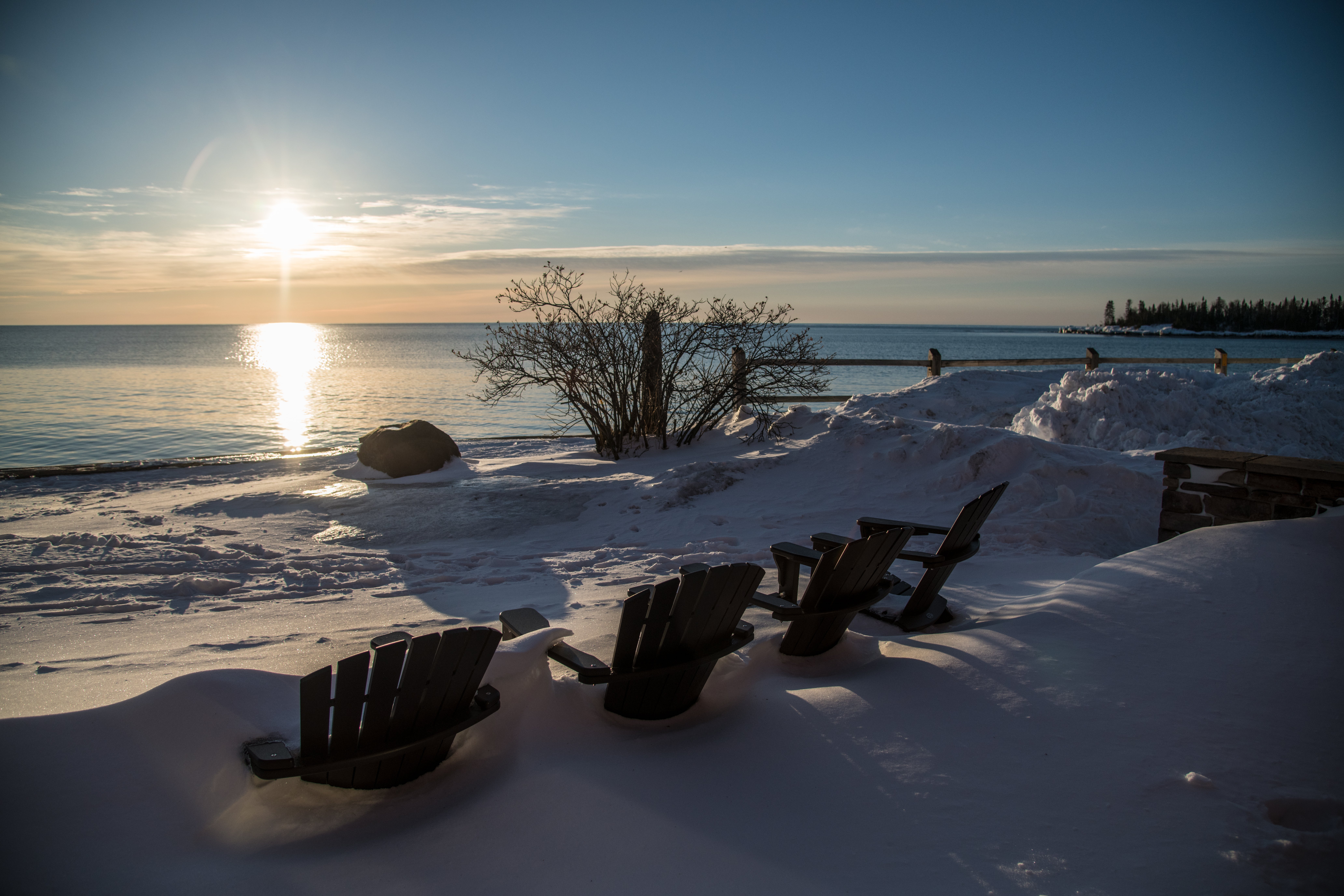
'Photo by USDA/Lance Cheung.'
As we fasten the bindings of our skishoes, the talking stops. We’d been laughing about the contrast between this place now, in January, and last summer, when we’d done the same trip, but in canoes. Instead of blue rimmed with green, we stare out at white. The lakes that have made the Boundary Waters renowned among paddlers are frozen. We embrace the silence and glide onto the ice.
Turn-by-turn
From Rockwood Lodge and Outfitters on the north shore of Poplar Lake
1) Donning skis, snowshoes, or skishoes, find an entry point onto Poplar Lake (near 48.0541, -90.5204) and cross the frozen surface to the Lizz Lake portage at mile 1.2. You don’t have to haul a boat, but portage trails in winter are still tough: Expect to encounter waist-high drifts, and avoid tree wells.
2) String together Lizz (beginning at mile 1.3), Caribou (mile 2.2), Horseshoe (mile 3.3), and Gaskin Lakes (mile 5.6).
3) At the far end of Gaskin Lake, hike .2 mile south to reach the eastern tip of string bean-shaped Winchell Lake at mile 7.3.
3) Find a campsite on the north shore near mile 7.9.
4) Retrace your steps to Poplar Lake.
Campsite
Winchell Lake (mile 7.9)
The summertime campsites on this tarn are either buried in drifts or tough to access in winter. Instead, set up your tent on the frozen surface of the lake. The wind-protected bay on the north edge is perfect. From there, the view stretches south to the cliffs lining the opposite shoreline and east to the remnants of the 2006 Redeye Fire. Be on the lookout for moose, lynx, and wolves.
Ice-Travel Safety
Avoid weak spots—like inlets and outlets—that hide underwater currents. (Clear, blue ice is the strongest. White, milky ice is weaker.) To check ice thickness, make a hole with an auger, then dip a stick or trekking pole in; the Minnesota Department of Natural Resources says ice 4 inches thick is safe for traveling by foot, skis, or snowshoes. Learn more about ice travel skills. And be always be prepared: Carry ice claws and a 50-foot rope.
Stay Cool
It’s easy to work up a sweat when postholing through portage trails. Pay attention to your internal temperature and move at a pace that keeps you dry. With air temps dipping below 0°F at this latitude, you do not want to sweat.
Gone Fishin’
Huge lake trout and northern pike swim in Winchell Lake, which gets 130 feet deep in spots. Carry along a manual auger (no motors allowed), a tip-up, and frozen smelt for a chance at ice fishing.
DO IT Trailhead 48.0541, -90.5204; 32 miles north of Grand Marais off of Gunflint Trail Season January to March for winter conditions; pack for deep cold (the writer brought a canvas tent and woodstove). Permit Required (free in winter); self-issue at the trailhead. Custom map ($15) Contact
Distance 15.8 miles (out and back)
Time 2 days
Difficulty 3.5