Updated July 8, 2025 01:11PM
Live the Magic in the Dolly Sods Wilderness
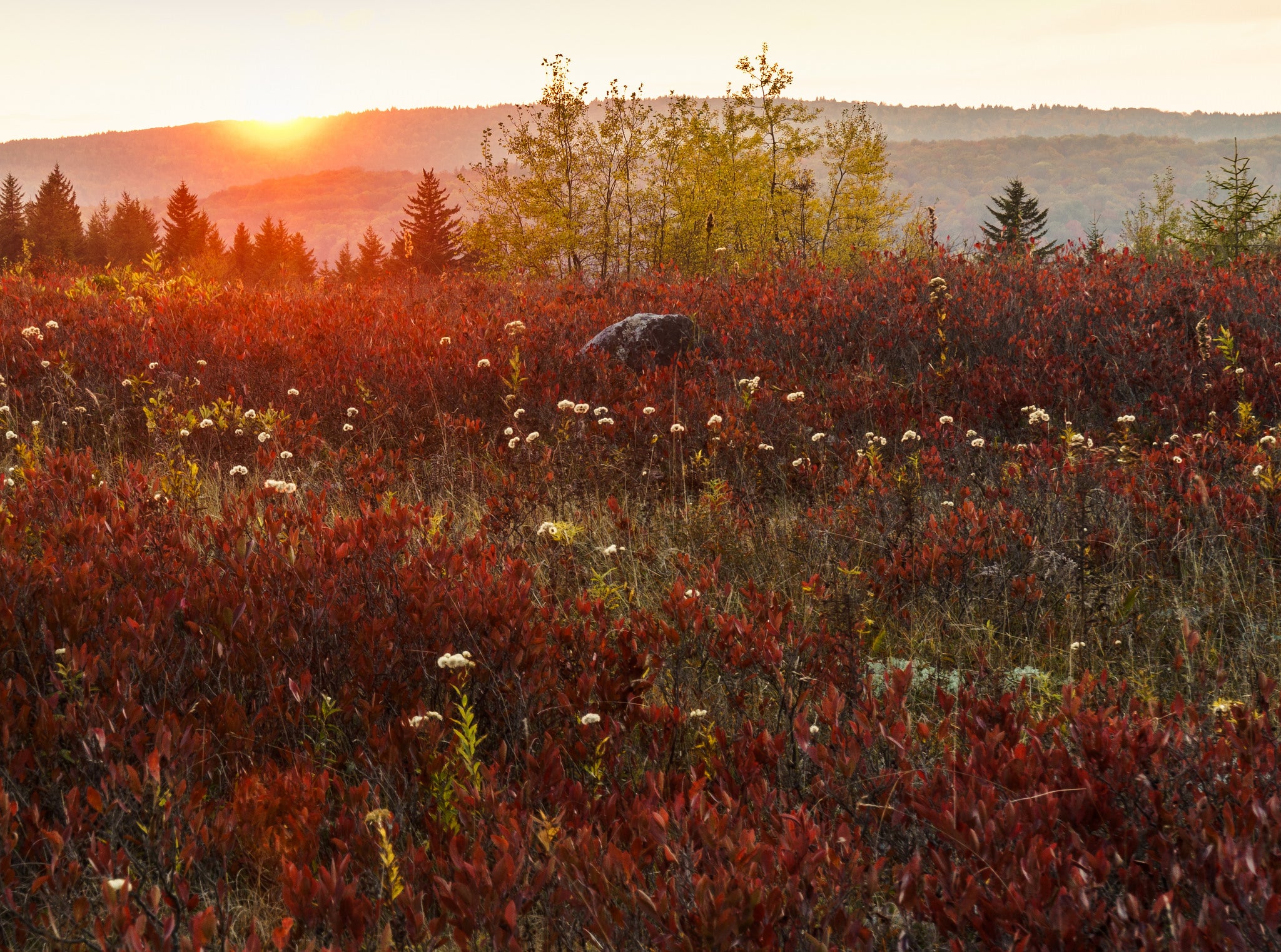
It's a slice of northeastern back country in the West Virginia mountains.
'Photo by Greg Stawicki/Flickr'
I puff my way up a short, steep climb through hardwood forest and pick a route through a rock garden, hiking poles clacking against stone. When I look up from the slopes of 3,848-foot Breathed Mountain across the Monongahela, it feels as though I’ve been transported to the far reaches of the Northeast: The wide view is replete with upland bogs and red spruce. One place it doesn’t bring to mind is West Virginia. But locals know the best of our state looks a world away. I’m midway through a 15.1-mile loop across the high plateau of the Alleghenies, and it’s something I need to keep reminding myself when I wend through blueberry thickets and rock outcroppings that put other states to shame. I don’t want to be anywhere else.
Turn-by-turn
From the Blackbird Knob trailhead
Follow the Blackbird Knob Trail 2.3 miles west through rhododendron tunnels to a Y-junction.
Peel off to the south (hiker’s left) on the Red Creek Trail, and take it 1.1 miles south to another intersection.
To do the loop around Breathed Mountain counterclockwise (saving the best scenery for day two), head 2.7 miles west onto the Breathed Mountain Trail.
Veer south onto the Big Stonecoal Trail and take it 3.2 miles to a junction.
Turn onto the Rocky Point Trail and follow it around Breathed Mountain and past views of the Sods to its end at the Red Creek Trail near mile 11.3.
Follow the Red Creek Trail 1.3 miles north back to complete the loop portion of the lollipop.
Retrace your steps 3.4 miles to the trailhead.
Campsite
Big Stonecoal (mile 8.6)
Find a site on the left (east) of the Big Stonecoal Trail near a thick stand of red spruce, along a sandy bank of the river. This flat expanse was a lumber camp at the turn of the 20th century. From here, take a short spur to an 18-foot waterfall just south of camp.
ADVERTISEMENT
Wildlife
The vast stretches of blueberries (fruiting July and August) attract summer hikers and four-legged foragers. Forest rangers in the Monongahela say they hear reports of more bear encounters in the Dolly Sods than anywhere else in the state. Also, due to the relatively high elevation, the Sods are home to species like snowshoe hares and saw-whet owls, which are more commonly found several degrees of latitude to the north.
Terrain
The highest plateau east of the Mississippi (ranging from 2,500 feet to 4,700 feet in elevation), the Dolly Sods feels distinctly out of place south of the Mason-Dixon line. The cold, windy climate stunts the forests and exposes the rocks.
DO IT Trailhead 39.033569, -79.314117; 15 miles southwest of Maysville on FS 75 Season Year-round; early summer is best for flora, and late summer is best for blueberries Permit None Custom map ($15) Contact