See the Best of Idaho's Sawtooth Wilderness in One Hike

'Photo by Ed Cannady / Idaho Stock Images'

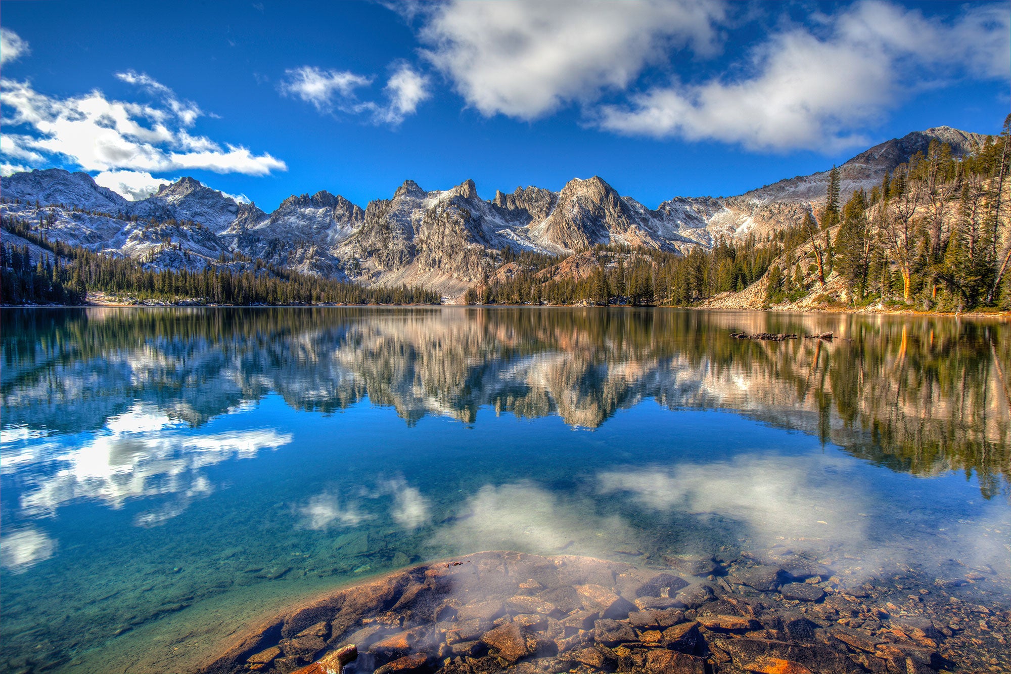
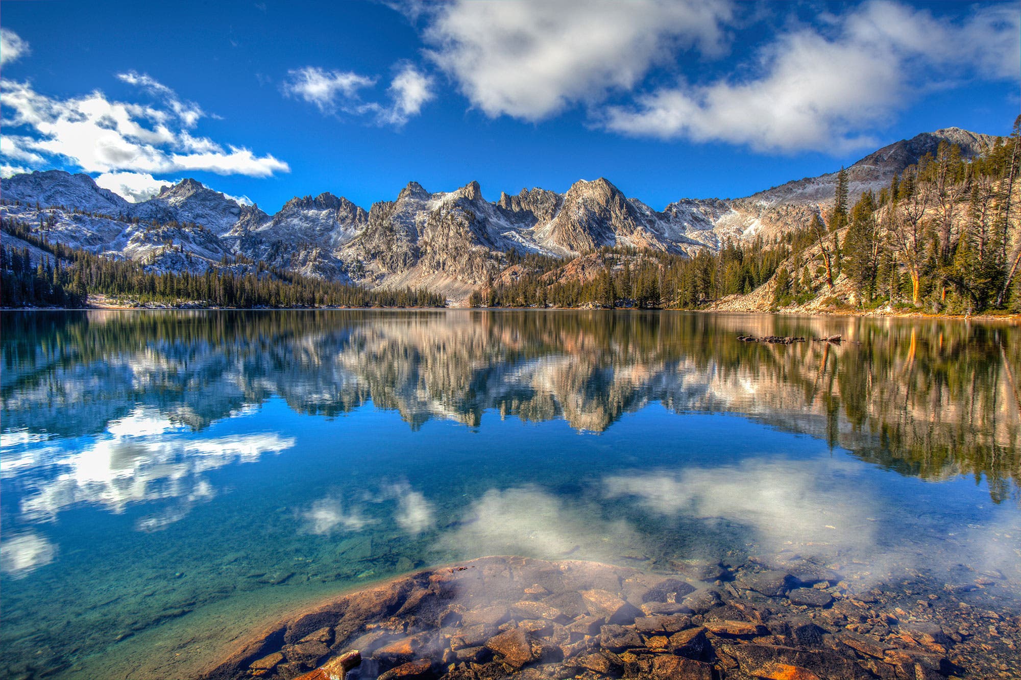
I get it, I think to myself, as I lean back and take in the mountain majesty that unfolds before me. I’m sitting on a warm slab of granite, air-drying from an impromptu swim along the 19.7-mile Alice-Toxaway Loop, which has earned something of “classic” status among backpackers. The early-evening light tinges the blade of ragged teeth as blue as the icy lakes cupped between its slopes. I pinpoint the trail, which crisscrosses through those alpine passes, swinging through stands of skyscraping Douglas fir and scree slopes adorned with waterfalls. This place has everything, and, luckily, one route touches it all.
Turn-by-turn From the Tin Cup Hiker trailhead
1) Follow Trail 7041 as it switchbacks over a moraine through dense lodgepole pine to an intersection at mile 2.
2) Head 6.8 miles west (hiker’s left) on Trail 7096, climbing the drainage of Yellow Belly Creek past Farley Lake to a junction on the north shore of Toxaway Lake.
3) Continue on Trail 7092 as it curls around 123-acre Toxaway Lake and ascends steep, exposed switchbacks to 9,475-foot Snowyside Pass at mile 11.5.
4) Drop off the pass on Trail 7095, savoring a head-on view of Twin Lakes before cruising northeast past Alice Lake to close the loop back at Pettit Lake.
Campsite 1: Farley Lake (mile 5)
Make camp atop the outcroppings on Farley Lake’s north shore for tent-door views of Parks Peak’s 2,400-foot face. It’s easy enough to pick your way down the 20-foot embankment to top off water, swim, or find a jumping point.
Campsite 2: Alice Lake (mile 13.7)
Follow the trail to Alice’s eastern edge and set up near the lake’s outlet below the face of 9,899-foot El Capitan. From here, the peak—which gets its name from its Yosemite-like appearance—rises like a shark fin above the lake. Scan for mountain goats on the cliffs, or get a closer look by scrambling up El Cap’s class 3 east ridge: From camp, it’s 2 miles to the summit.
Wher to Fish
Midway through day two, stop at Toxaway Lake to cast a line. Though fish swim in all the pools on this route, Toxaway is famous for its foot-long brookies. From the main trail, follow any number of social paths down to the lake’s north shore for the best spots to cast for the Sawtooth icons.
Make It Longer
Have an extra day? Tack on the Imogene Lake extension, which turns the trip into a 27.2-mile tour of alpine glory. At mile 6.9 on the regular Alice-Toxaway Loop, split north onto Trail 7040, passing Edith Lake to find Trail 7092, which crosses the 9,200-foot pass to Imogene Lake, 3.4 miles from the main loop. Camp on the tarn’s southeast shore among a horseshoe of 10,000-footers before circling 5.6 miles back to the Alice-Toxaway Loop; Trail 7092 rejoins the circuit at Toxaway Lake.
DO IT Trailhead 43.9843, -114.8719; 20 miles south of Stanley on FR 362 Season July to October Permit Required (free); self-issue at the trailhead kiosk. Custom map ($15)
Distance 19.7 miles (loop)
Time 3 days
Difficulty 3.5