Washington, DC: G.R. Thompson Loop

You’ve toured the Smithsonian, walked the Mall, and photographed Capitol Hill. Now, tour the wilder side of D.C. on this 5.8-mile loop. This hike strings together a small lake (fine fishing), several overlooks, (views to a local vineyard), and a segment of the Appalachian Trail (America’s classic long trail).Begin by heading west just south of the lake. The first mile quickly ramps up, climbing a hillside overlooking nearby valleys. The trail follows an old dirt road and joins up with the Appalachian Trail. Head north on the AT for about a mile then swing east for a quick descent back to the lake. Grab lunch at one of the few lakeside benches. Return to trailhead.Warning: Hunting is open along parts of this trail. Wear hunter orange or avoid the fall hunting seasons.
Mapped by Fletcher Caldwell


Trail Facts
- Distance: 9.4
Waypoints
GRT001
Location: 38.9573784, -77.9887924
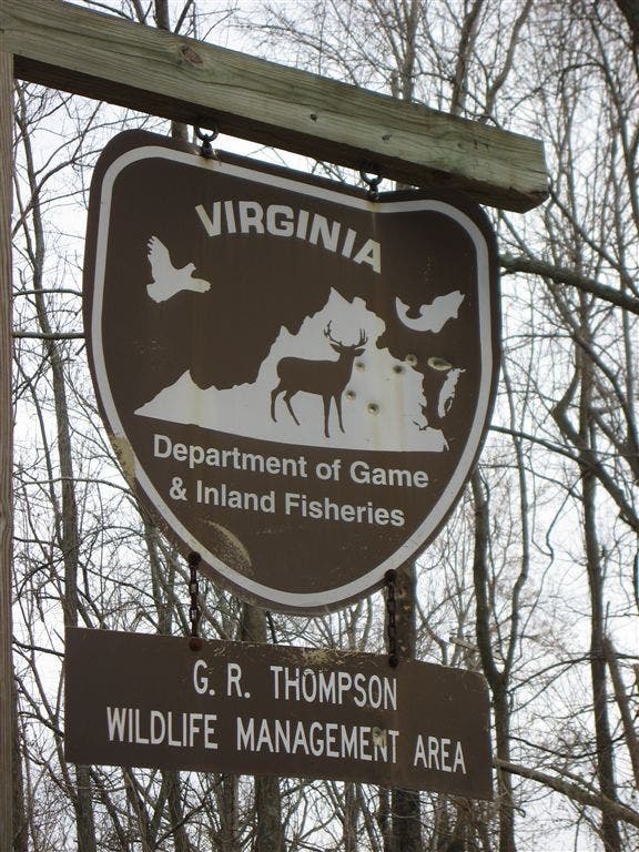
Trailhead: The parking lot is approximately 100 yards north of the lake (where the trail starts), but there is a park map and info board here. Several trails start and end at the lake: for this trip, head up the road and follow the trail straight ahead, passing the lake on your right as you start the hike on an old dirt road.
GRT002
Location: 38.9550095, -77.9987946
Go left @ 4-way intersection. Turning right here offers the option for a significantly shorter bail-out route.
GRT003
Location: 38.9534683, -77.9978333
The trail turns right onto an old dirt road bed at the fence. Most of this trail is on a dirt road of some kind, but in the summer, grass and weeds seem to fill in the road bed and turn the trail into singletrack.
GRT004
Location: 38.9525108, -77.9994812
The trail continues straight passing a vineyard on the left.
GRT005
Location: 38.9503136, -78.0104675
Continue straight @ 3-way junction as the trail continues on a steady uphill stretch. The climbing ends at the Appalachian Trail junction up ahead.
GRT006
Location: 38.9489784, -78.012146
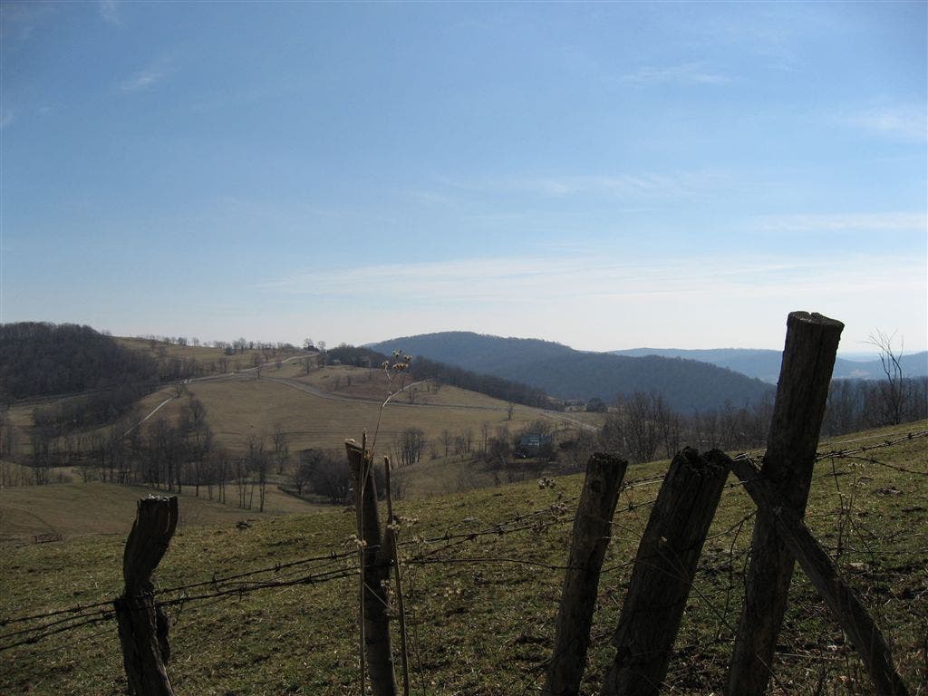
The trail passes old tin shack on the left. This is a nice spot to appreciate the the valley views to the south/southeast.
GRT007
Location: 38.9532967, -78.021431
Turn right onto the Appalachian Trail (marked with white blazes). In the winter, enjoy views of the lake. In the summer, heavy tree cover blocks scenics to lake.
GRT008
Location: 38.9634552, -78.0160599
Turn right @ 4-way junction to head east down the hill. The descent is steep and a little rocky in parts. The dirt road beds on this loop act as drainages during and after rainfall, making for potentially sloppier conditions. To explore the AT a bit more before heading back to the car, continue straight at this junction.
GRT009
Location: 38.9640503, -77.9966583
Turn right @ trail junction to continue down towards the lake. Take a break at one of the lakeside benches before returning to the trailhead.
The trailhead
Location: 38.9573402, -77.9885101
© Fletcher Caldwell
The valley
Location: 38.9522667, -78.0013809
© Fletcher Caldwell
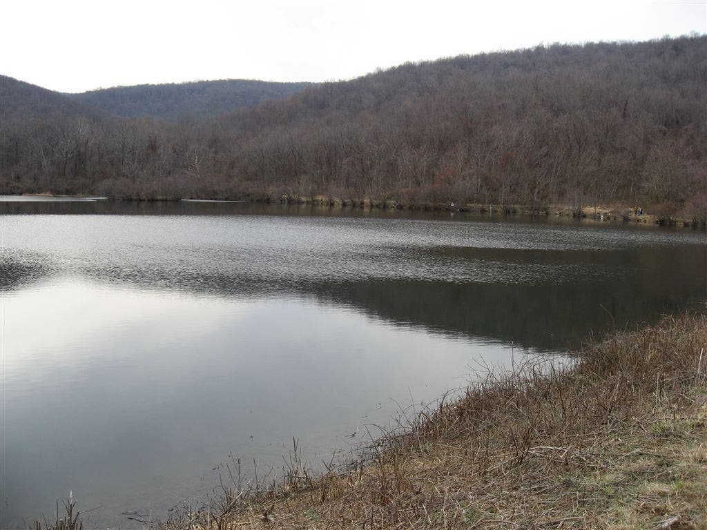
The Lake
Location: 38.9576759, -77.9920425