Washington, DC: First Manassas Trail

Thirty miles from DC, Manassas National Battlefield Park offers history buffs and hikers alike an opportunity to take a firsthand tour of the Civil War’s first major land battle, Bull Run. From the Visitors Center, this 4.2-mile loop wanders thin cedar forest and open meadows while touring restored remnants of the battle: canons, farmhouses, an inn converted to a battle triage, and a family cemetery (among others).
-Mapped by Fletcher Caldwell
Trail Facts
- Distance: 6.7
Waypoints
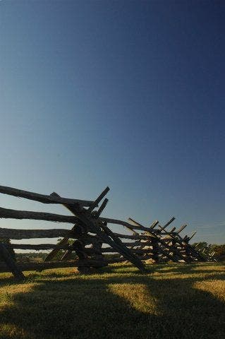
Fence Posts
Location: 38.8233184814453, -77.5299301147461
©Fletcher Caldwell
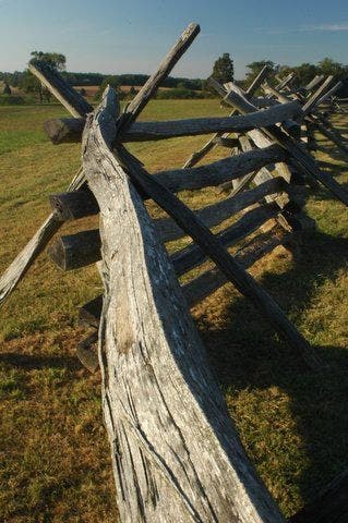
Split Rail Fence
Location: 38.8220558166504, -77.5280151367188
©Fletcher Caldwell
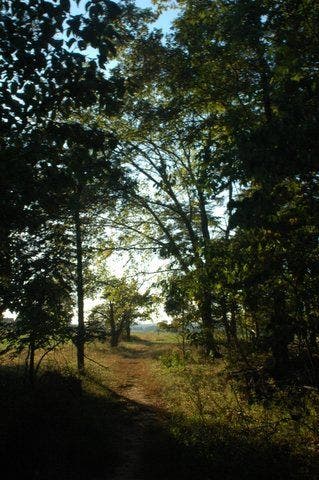
Path through the trees
Location: 38.8202705383301, -77.5264892578125
©Fletcher Caldwell
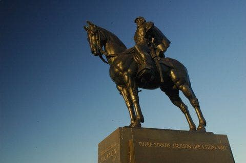
Stonewall Statue
Location: 38.8204650878906, -77.5264892578125
©Fletcher Caldwell
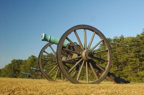
Cannon
Location: 38.8214378356934, -77.5269775390625
©Fletcher Caldwell
MAN001
Location: 38.8134613037109, -77.5209426879883
Charge E on grass path flanked by blue-green bronze cannons; In 810 ft., head straight @ 4-way into pines
MAN002
Location: 38.8132705688477, -77.5128402709961
Cross stream tributaries; turn L @ T in 600 ft., passing sun-speckled forest into windy fescue meadow
MAN003
Location: 38.8224296569824, -77.5110778808594
Cross US 29; veer R up farmland knoll where cannon fire lit haystacks during the First Manassas Battle
MAN004
Location: 38.8245506286621, -77.5118026733398
Marker: At first light on July 21, 1861, Dixie gunshots riddled a Yankee’s farmhouse (now long gone); veer L @ Y
MAN005
Location: 38.8295402526856, -77.5179977416992
Cross access road into cedar forest where two captains dueled to the death. In .3 mi., L past farmhouse remains
MAN006
Location: 38.8288116455078, -77.521598815918
On L, stone enclosure marks 1801 cemetery. Continue on trail past hundreds of unmarked slave graves on R
MAN007
Location: 38.8269462585449, -77.5279083251953
Confederates fired on their own lines @ Matthews
Hill; more battles ensued when bluecoats crept over the crest
MAN008
Location: 38.8252410888672, -77.5294570922852
Retrace the flight of the confederates S to safety @ Henry Hill
MAN009
Location: 38.8238143920898, -77.5302124023438
L @ T
MAN010
Location: 38.8190383911133, -77.5260772705078
Restored 1840s stone house: local tavern converted into refuge for the Union’s wounded. Ahead, cross US 29
MAN011
Location: 38.8162002563477, -77.5234222412109
Straight @ 3-way with Henry Hill Loop Trail
MAN012
Location: 38.8147468566894, -77.5226135253906
Henry House: Judith Henry, only civilian casualty of battle (victim of a runaway bullet). Head S past iron artillery to car