Ventura, CA: Dry Lakes Ridge

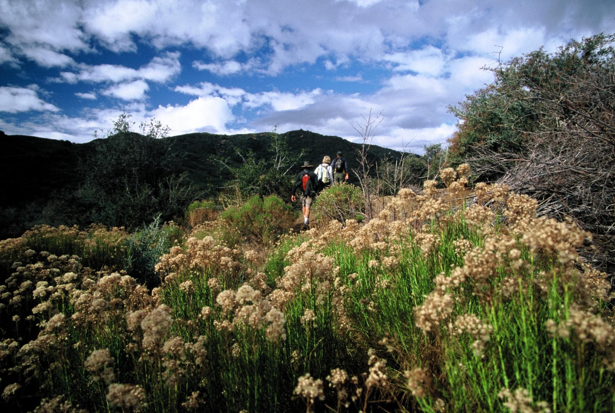
95- Driving on Highway 33, you’ll pass Rose Valley Road and bear west for about 1.5 miles and park at the turnout on your left after passing Rose Valley. Park and walk to the west for about 20 paces. On your left is the trailhead. Duck under a small oak tree and immediately ascend a steep ridge for about a half mile to the west.
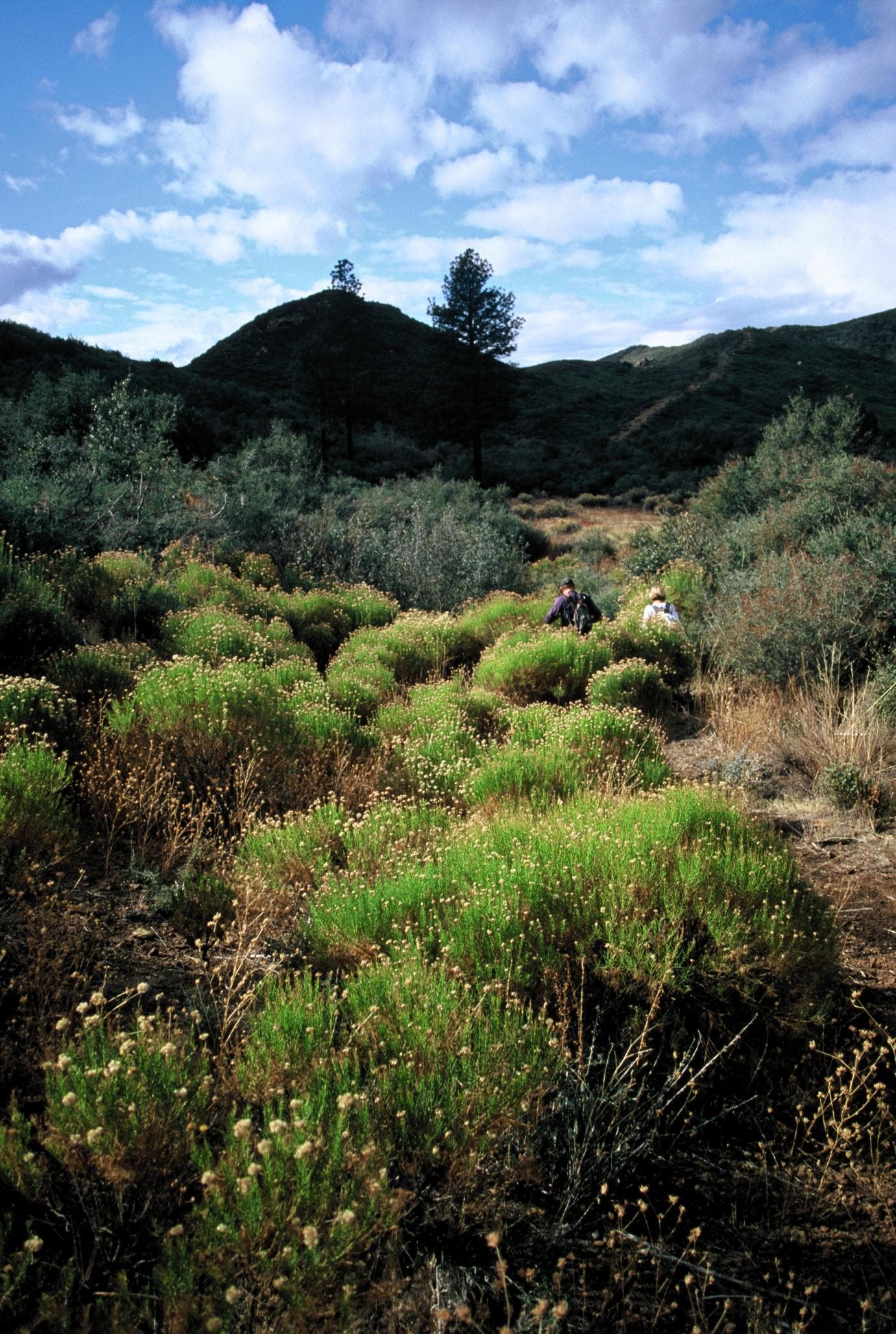
96- Follow the rolling ridge, the Sespe Wilderness on your right and the city of Ojai and the Channel Islands National Park on your left. The ridge will descend into the first dry lake. Watch for black bears, mule deer, mountain lions, coyotes. Lots of fresh tracks and scat along this track.
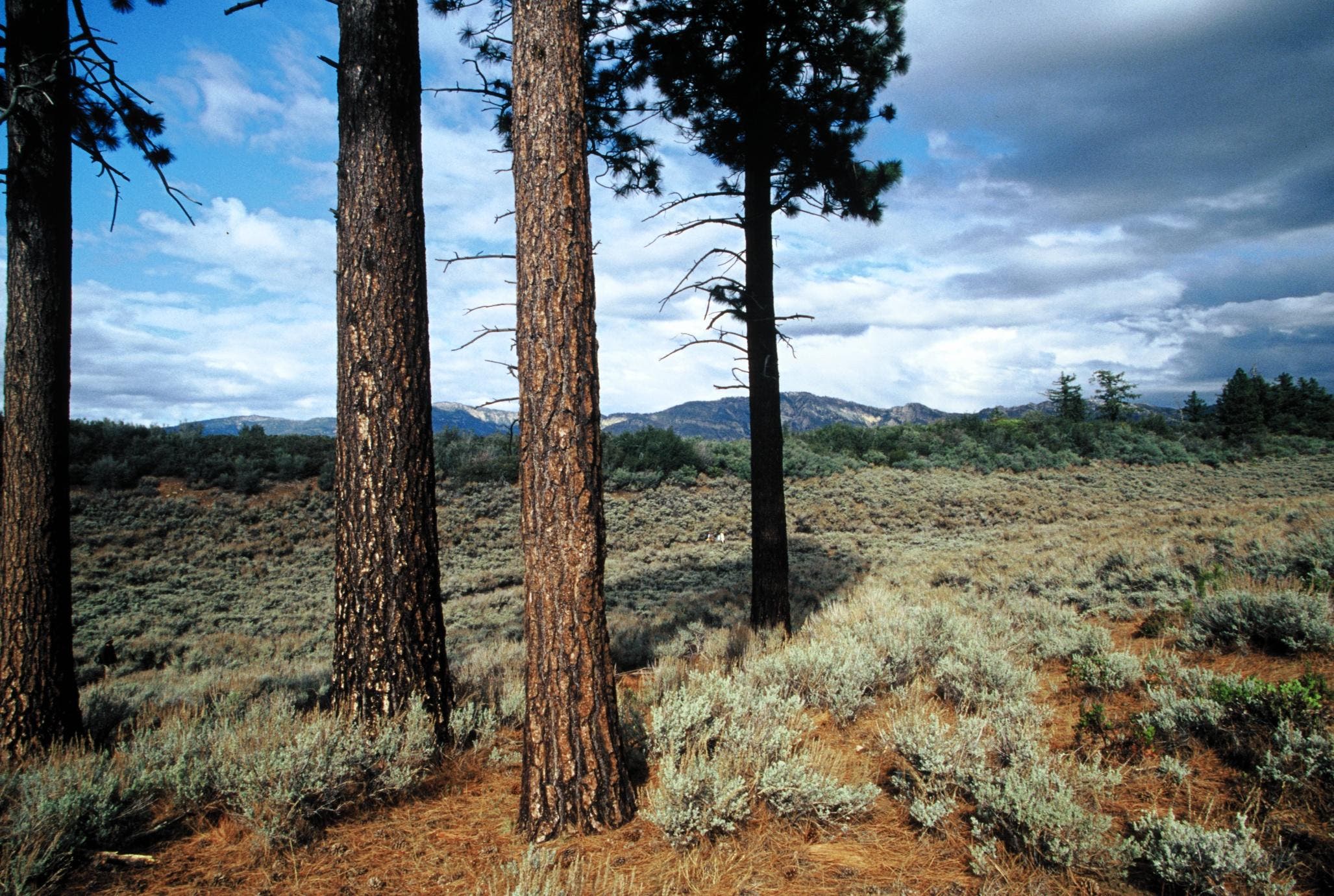
97- Arrive at second dry lake that has several ponderosa pinetrees in one stand to the south of the second dry lake. The trail meanders around to the right of the pines.
98- You’ll descend into the third dry lake which is also the largest of the four lakes. Another stand of ponderosa pines makes for the best stop for lunch. There’s a large, dead ponderosa pine that makes for a good rest stop.
99- The fourth lake is the smallest of the dry lakes.
100- Head further west up a steep single track for about a half mile and get the best views from this hike. To the west is the Dick Smith Wilderness. To the south is Lake Casitas, the Pacific Ocean and the Channel Islands. To the east is the Sespe Wilderness. You can see the Sespe Creek deemed by Congress in 1968 as “Wild and Scenic”, meaning it can’t be manipulated in any way and all its inhabitants are protected.


Trail Facts
- Distance: 5.3
Waypoints
#5
Location: 35.680411, -83.46453
Along Roaring Fork Motor Nature Trail
#5
Location: 35.598694, -83.809977
Cades Cove
#6
Location: 35.597577, -83.816414
Cades Cove
#7
Location: 35.474721, -83.724103
Hazel Creek
#10
Location: 35.628175, -83.102968
Cataloochee Valley
#13
Location: 35.62814, -83.105779
Cataloochee Valley
#11
Location: 35.610243, -83.82549
Rich Mountain Loop Trail
#12
Location: 35.600927, -83.829632
Cades Cove
#14
Location: 35.592552, -83.830748
Cades Cove
#15
Location: 35.521329, -83.305678
Oconaluftee area
#19, #24
Location: 35.54183, -83.492553
Andrews Bald
#20
Location: 35.629745, -83.450367
Alum Cave Trail
#21
Location: 35.590005, -83.469465
Fork Ridge Trail
#22
Location: 35.441722, -83.647285
Lakeshore Trail, Fontana Lake (belted kingfisher)
#23
Location: 35.680167, -83.529718
Old Sugarlands Trail (wild turkey)
#25
Location: 35.639197, -83.371832
Charlies Bunion
#26
Location: 35.669081, -83.661983
Meigs Creek Trail
#8
Location: 35.586201, -83.358572
Kephart Prong Trail (bobcat)
#9
Location: 35.607627, -83.935053
Rabbit Creek Trail (Eastern spotted skunk)
#18
Location: 35.554156, -83.308682
Smokemont (great horned owl)
#29
Location: 35.653391, -83.580637
Elkmont
#30
Location: 35.593948, -83.817701
Cades Cove
#33
Location: 35.627861, -83.099942
Cataloochee Valley
#34
Location: 35.520351, -83.308403
Mingus Creek Trail (lungless salamanders)
#35
Location: 35.551502, -83.502359
Forney Creek Trail
#38
Location: 35.685361, -83.533108
Sugarlands
#39
Location: 35.612232, -83.824525
Rich Mountain Loop Trail
#40
Location: 35.600509, -83.80178
Cades Cove
#41
Location: 35.513994, -83.302052
Oconaluftee area
#42
Location: 35.625838, -83.087904
Boogerman Trail
#43, #46
Location: 35.75003, -83.266121
Albright Grove Loop
#45
Location: 35.750291, -83.2664
Albright Grove Loop
#44
Location: 35.711291, -83.252957
AT
#47
Location: 35.562255, -83.517294
AT near Clingmans Dome
#48
Location: 35.573112, -83.180516
Flat Creek Falls Trail
#49
Location: 35.653809, -83.438158
Mt. LeConte
#50
Location: 35.763682, -83.16129
Mt. Cammerer
#51
Location: 35.679191, -83.527937
Old Sugarlands Trail
#54
Location: 35.565746, -83.309004
Bradley Fork Trail
#55
Location: 35.68435, -83.532271
Sugarlands (spicebush)
#56
Location: 35.630024, -83.448758
Alum Cave Trail
#57
Location: 35.522587, -83.870058
Gregory Bald
#58
Location: 35.542074, -83.493304
Andrews Bald
#59
Location: 35.759677, -83.215449
Gabes Mountain Trail
#60
Location: 35.652972, -83.438716
Mt. LeConte
#63
Location: 35.625105, -83.681595
West Prong Trail, near Tremont
#64
Location: 35.683723, -83.53255
Sugarlands
#65
Location: 35.684804, -83.532808
Sugarlands
#66, #67, #68
Location: 35.653461, -83.578534
Little River Trail
#69
Location: 35.617779, -83.669622
Middle Prong Trail
#70
Location: 35.587562, -83.363893
Kanati Fork Trail
#71
Location: 35.684002, -83.396208
Porters Creek Trail
#72
Location: 35.630861, -83.390543
The Boulevard Trail
#73, #74
Location: 35.573007, -83.18073
Flat Creek Falls Trail
#75
Location: 35.630652, -83.047457
Cataloochee Divide Trail
#76, #79
Location: 35.630582, -83.446956
Alum Cave Trail
#77, #78
Location: 35.562814, -83.497338
Clingmans Dome
#82
Location: 35.54588, -83.793862
AT (Mollies Ridge Shelter)
#84
Location: 35.620954, -83.678012
Tremont area
#83
Location: 35.519164, -83.304219
This is just a placeholder–you won’t necessarily find morels here. They’re a closely guarded secret!