Vancouver, WA: Trail of Two Chiefs

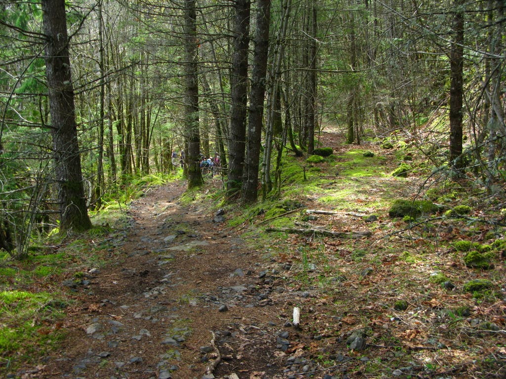
The trail of Two Chiefs, also known as the Greenleaf Falls, follows a primitive jeep track at the base of Table Mountain. This gentle trail takes you through pleasant forests, view of the Columbia River Gorge and first grade views of Table Mountain and the Two Chiefs. The short version of this trip ends at the Greenleaf Falls but avid adventurers willing to get their feet wet can continue on the other side and eventually get to the Bonneville Trailhead.
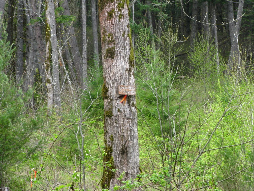
Starting from the East side of the Bonneville Hot Springs Resort , cross the lot to the west and take an uphill dirt road for a couple hundred yards where it ends at an intersection. One option to continue is to follow the road west towards the power lines but a more scenic alternative is taking an unmapped, easy to miss connector trail to the PCT. Look for a small cairn on the on the north side of the road and a small sign on a tree indicating this path.
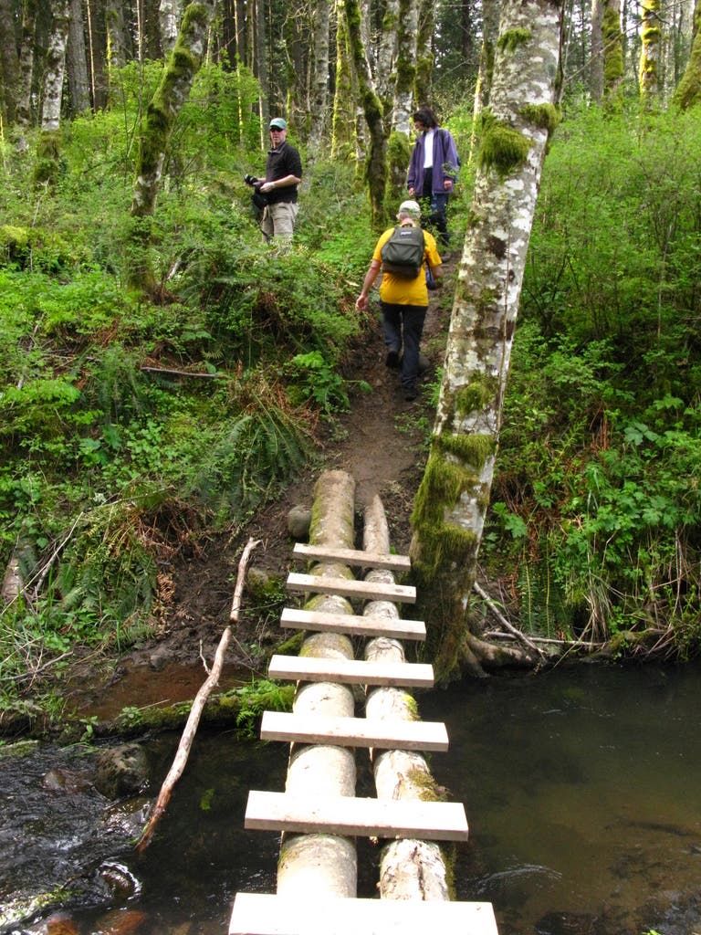
After less than a mile, an open meadow will open to the right. The frogs would be a clear indication that you are actually in front of Carpenter Lake. Cross the wood bridge and continue a couple hundred yards to the road. Turn right to continue and keep right at the next intersection (The second left goes to Aldrich Butte).
The trail continues circling the meadow on a gentle uphill crossing a second wood bridge and passing a couple of small creeks. At about 2.5 miles, notice the PCT as it crosses the trail. This crossing is more noticeable on the way down.
As you continue up, Sacaquawea and Papoose rocks, the Two Chiefs, will be visible between the trees to your left. Also note the big talus slopes to the left and big boulders to the right, both remnants of the Table Mountain Collapse. Soon after, look for another not mapped road that joins the trail. This junction is barely visible on the way up but very noticeable on the way down. On the way down, remember to keep left at this point.
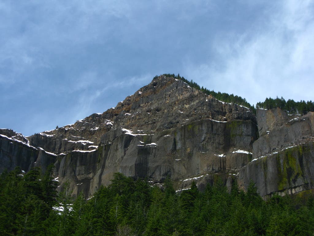
After about half a mile, the trail opens up offering a magnificent view of Table Mountain and the Columbia River Gorge. Although the Greenleaf falls are less than half a mile ahead, this is a perfect lunch spot.
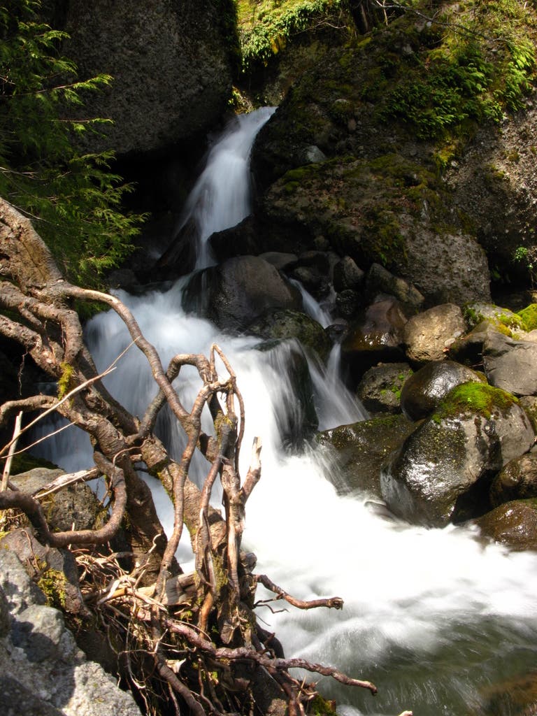
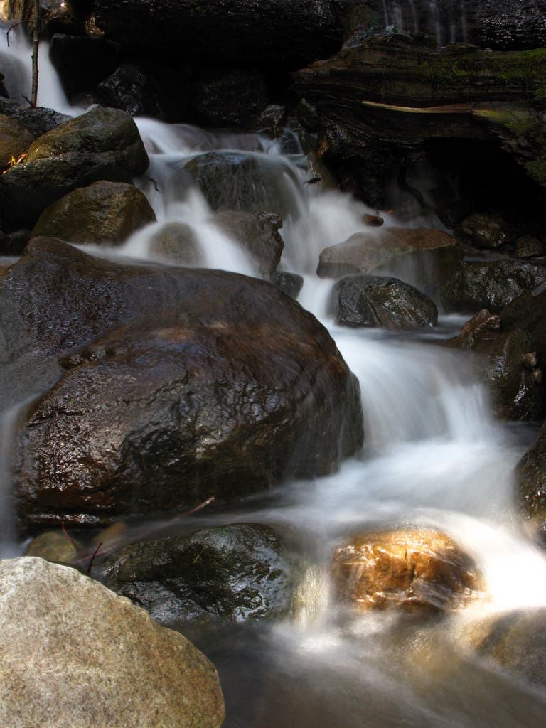
From there, continue half a mile to Greenleaf Falls. Although not on the most scenic waterfall list, it’s easy to appreciate the chaotic aspect of this creek as it completely washed out the old road. Around the fall is easy to find remnants of an old log bridge and see the road as it continues on the other side, but that’s for the more adventurous. To return, follow the road the way you came back to the parking lot.
-Mapped by Claudio Berstein
Trail Facts
- Distance: 14.0
Waypoints
CBT001
Location: 45.656648, -121.958778
The trail starts from the east side of the parking lot. Head uphill on a dirt road.
CBT002
Location: 45.654852, -121.962807
Pick up the cutoff trail and follow it to the northwest (this trail is marked by a small cairn and a sign on the tree).
CBT003
Location: 45.659857, -121.974421
Cross a log bridge.
CBT004
Location: 45.659542, -121.975451
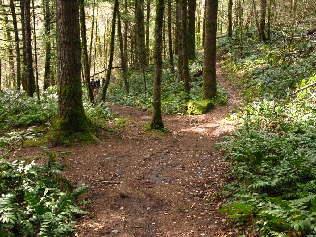
At the road, turn right and then keep right at the second junction.
CBT005
Location: 45.664236, -121.974699
Cross another log bridge.
CBT006
Location: 45.665241, -121.968541
Continue straight at the 4-way junction with the Pacific Crest Trail (PCT).
CBT007
Location: 45.67884, -121.968327
Cross the stream and continue north.
CBT008
Location: 45.682888, -121.971073
Look left for views of Sacaquawea and Papoose Rocks (The Two Chiefs) for the two chiefs to the left
CBT009
Location: 45.68368, -121.970741
Unmarked road joins the trail
CBT010
Location: 45.683983, -121.970644
Best view of Table Mountain and perfect lunch spot
CBT011
Location: 45.686411, -121.969121
Campsite
CBT012
Location: 45.688435, -121.967425
Greenleaf Falls: Watch this waterfall tumble down mossy rocks. Turn around at this point and return to the trailhead. Optional: Hikers willing to get their feet wet can cross the creek and pick up the road on the other side, which eventually leads to Bonneville Trailhead.
Cutoff Trail sign
Location: 45.654833, -121.962533
Log bridge
Location: 45.659902, -121.974163
Trail Junction
Location: 45.659557, -121.975193
This is the view coming back. Turn left to go back to the trailhead
PCT Junction
Location: 45.665196, -121.968219
Unmarked road
Location: 45.683683, -121.970451
Take a left on this fork on the way back
Table Mountain
Location: 45.686081, -121.969421
Greenleaf Falls
Location: 45.688465, -121.967275
Around Greenleaf Falls
Location: 45.688315, -121.967211
A short scramble down, under a tree