Vancouver, WA: Dog Mountain Loop

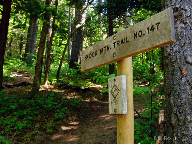
Arguably the most popular dayhike on the Washington side of the Columbia River Gorge, the Dog Mountain Trail catapults hikers nearly 3,000 feet above the Columbia River to spectacular displays of wildflowers and summit views of Mounts Hood, Adams and St. Helens. The Dog Mountain Trail begins at the east end of the parking area, and immediately begins a steep ascent up the wooded hillside.
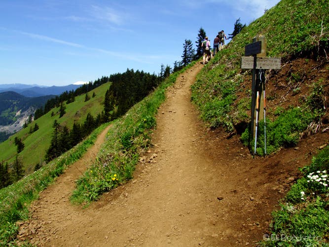
Less than a mile in, the trail splits: the “less difficult” trail veers right, and the “more difficult” trail leads left. Bear right for a more scenic route traveling past meadows and big views. The grade lessens slightly as the path climbs through forest and enters a hillside meadow covered with seasonal wildflowers. Take the short spur to a lookout point with spectacular views west over Wind Mountain and east toward Hood River.
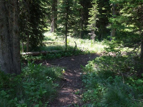
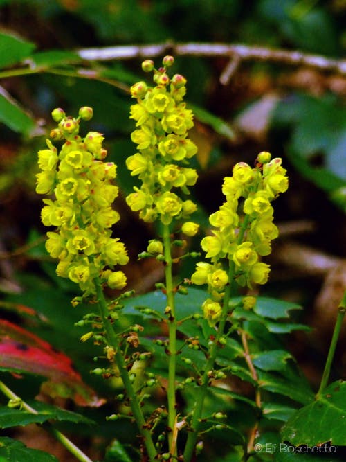
Re-enter shady woods as you continue the climb past fairy slipper, Oregon grape, and starflower. The trail gets more crowded at the upper junction with the old trail at mile 2.1. Roughly half a mile later, the route reaches the lower portion of the summit meadow and the site of an old fire lookout with incredible views. From here, bear left and climb through the meadow. At mile 2.9, bear right on the summit spur trail to reach the top of Dog Mountain. Find a spot to relax and enjoy the view (a few secluded spots can be found on the north side of the summit).
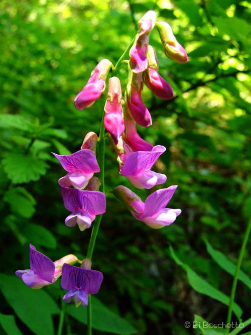
The return trip drops down the backside of Dog Mountain, then contours southwest for a steady, shaded descent, offering occasional views westward over Wind Mountain and the Columbia River. (The crowds diminish considerably along this stretch). Look for glacier lily, candyflower, wild strawberry and sweet pea as you hike back to the trailhead.
Note: The parking area will be full by 10 a.m. on weekends, so plan to arrive early, or go later in the day. Pack plenty of water on warm days; there’s no water available at the trailhead. Watch out for ticks and poison oak.
-Mapped by Eli Boschetto, Bosco Mountain Photo




Trail Facts
- Distance: 11.1
Waypoints
DOG001
Location: 45.6992821, -121.7075783
Head west on Dog Mountain Trail.
DOG002
Location: 45.6995, -121.7064667
Pass a restroom, then start the steep ascent up Dog Mountain.
DOG003
Location: 45.7020284, -121.7098689
Bear right at the junction with the “old trail.” This less difficult route passes meadows and big views.
DOG004
Location: 45.7042462, -121.7083991
Ignore the faint trail that leads left at the top of this switchback; go right.
DOG005
Location: 45.706921, -121.7021066
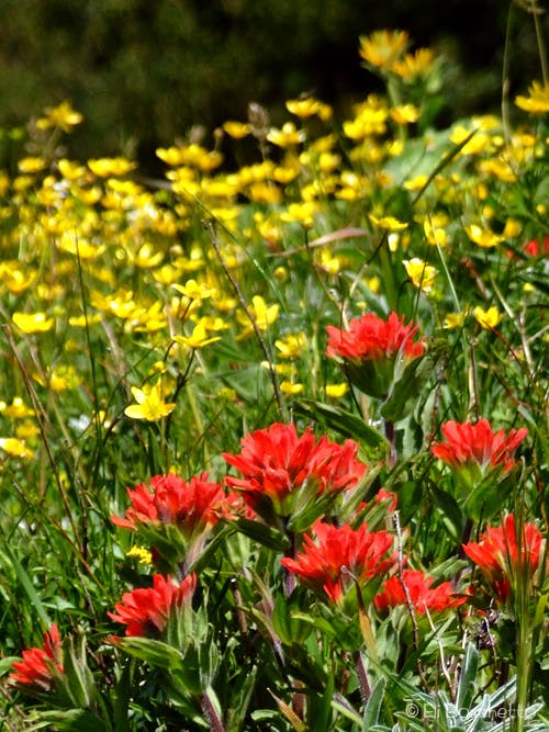
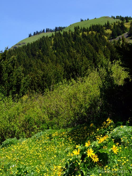
Enter the first hillside meadow. In spring and summer the slopes are filled with balsamroot, buttercup, larkspur, lupine, and paintbrush. In 70 feet, head south to a lookout (with a log bench) for more incredible views.
DOG006
Location: 45.7065389, -121.7017767
This lookout with a log bench showcases jaw-dropping views of the Columbia River and Wind Mountain.
DOG007
Location: 45.7068948, -121.7014897
Pass a faint track to the left that climbs above the main trail for more awesome views. Ahead, the trail climbs to the north.
DOG008
Location: 45.7124575, -121.7045045
Continue straight past the upper junction with the “old trail.”
DOG009
Location: 45.7134539, -121.7011356
The trail enters the summit meadow. Continue southeast to another switchback.
DOG010
Location: 45.712849, -121.6991776
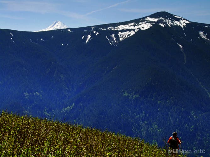
This point marks an old fire lookout point with more breathtaking views. Next: Bear left at the trail fork to stay in the meadow (the trail on the right leads through the woods). Look for Mount Hood peeking over the ridge to the south; Mount St. Helens rises to the northwest.
DOG011
Location: 45.7164953, -121.7023587
Bear right at Y-junction with Augspurger Mountain Trail to crest the summit of Dog Mountain.
DOG012
Location: 45.7165852, -121.7016721
Turn left at 3-way junction.
DOG013
Location: 45.7170309, -121.7010793
Dog Mountain (2,948 ft.): Drop your pack and enjoy the summit-top views of Mount Hood to the south and Mount Adams to the northeast. Look for secluded spots on the north side of the summit. Next: Return to Waypoint 11 and turn right to continue the loop.
DOG014
Location: 45.7261953, -121.7089033
Turn left (south) and the junction with Augspurger Mountain Trail.
DOG015
Location: 45.7222256, -121.7143965
The trail swings to the left and continues its descent through Douglas fir forest.
DOG016
Location: 45.6996456, -121.7138386
Pass views of the Columbia River on the right. The trail reconnects with the trailhead in 0.3 mile.
Views of the Columbia River and Wind Mountain
Location: 45.7065389, -121.7017177
Gorge-ous views of the Columbia River and Wind Mountain. © Eli Boschetto
Ascent
Location: 45.6995032, -121.7063069
Beginning the steep ascent of Dog Mountain. © Eli Boschetto
Trail Junction
Location: 45.7020134, -121.7097187
Choose your path up Dog Mountain. © Eli Boschetto
Oregon Grape
Location: 45.7056548, -121.7042685
Oregon grape on the Dog Mountain Trail. © Eli Boschetto
Spring Color
Location: 45.7068798, -121.701951
A meadow filled with balsamroot, buttercup and paintbrush. © Eli Boschetto
Dog Mountain
Location: 45.7089514, -121.7012644
On the trail to Dog Mountain’s. summit. © Eli Boschetto
Waterleaf
Location: 45.7106296, -121.7029059
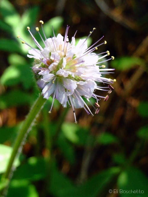
Ballhead waterleaf en route to Dog Mountain summit. © Eli Boschetto
Larkspur and Starflower
Location: 45.7130044, -121.7031097
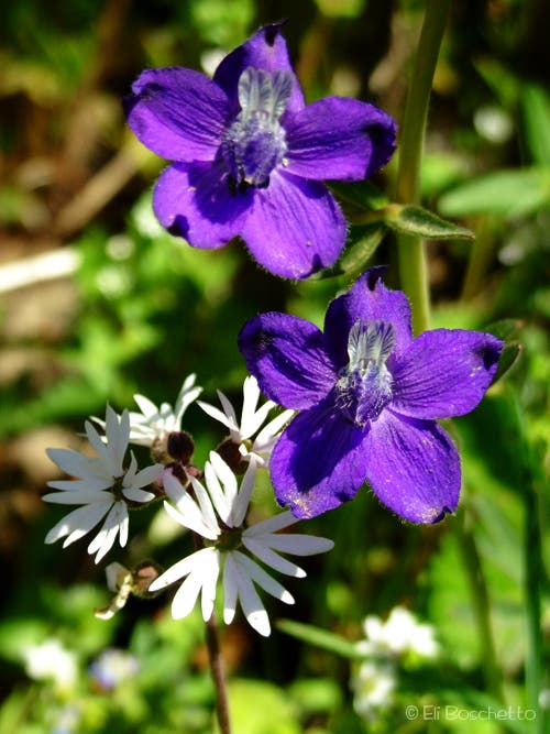
Larkspur and starflower on the Dog Mountain trail. © Eli Boschetto
Mountain Meadow
Location: 45.7133116, -121.7005992
Lower section of Dog Mountain’s summit meadow; Wind Mountain. beyond. © Eli Boschetto
Summit Bound
Location: 45.7141281, -121.7006099
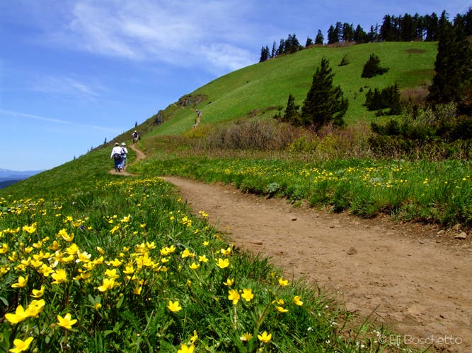
Hikers en route to the summit. © Eli Boschetto
Summit Junction
Location: 45.7164953, -121.70223
Trail split to Augspurger Mountain or Dog Mountain summit. © Eli Boschetto
Views of Mount Hood
Location: 45.717029, -121.7010337
Mount Hood from Dog Mountain. © Eli Boschetto
Candyflower
Location: 45.7189542, -121.7044106
Candyflower on Augspurger Mountain Trail. © Eli Boschetto
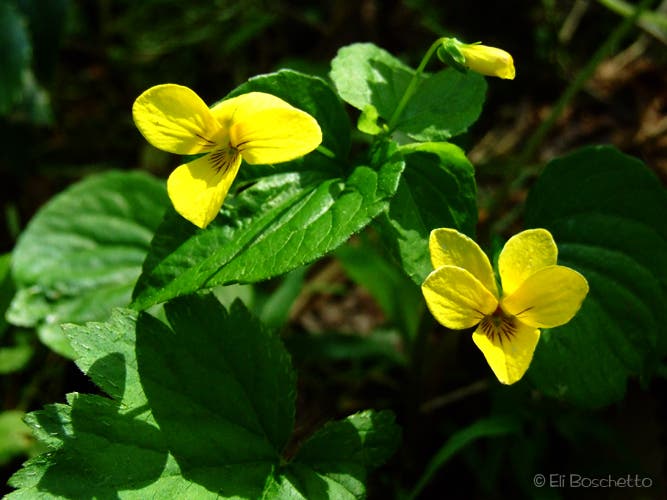
Yellow Violet
Location: 45.717177, -121.7131305
Yellow violet on the Augspurger Mountain Trail. © Eli Boschetto
Sweet Pea
Location: 45.7089664, -121.7182159
Sweet pea on the Augspurger Mountain Trail. © Eli Boschetto
Wind Mountain
Location: 45.7051154, -121.7192674
Wind Mountain from Augspurger Mountain Trail. © Eli Boschetto