Updated December 4, 2024 04:42AM
Vancouver, WA: Cape Horn
Ditch the crowds of the more popular Gorge trails with this 7.2-mile loop, chock-full of shady woods, wildflowers, and big views.
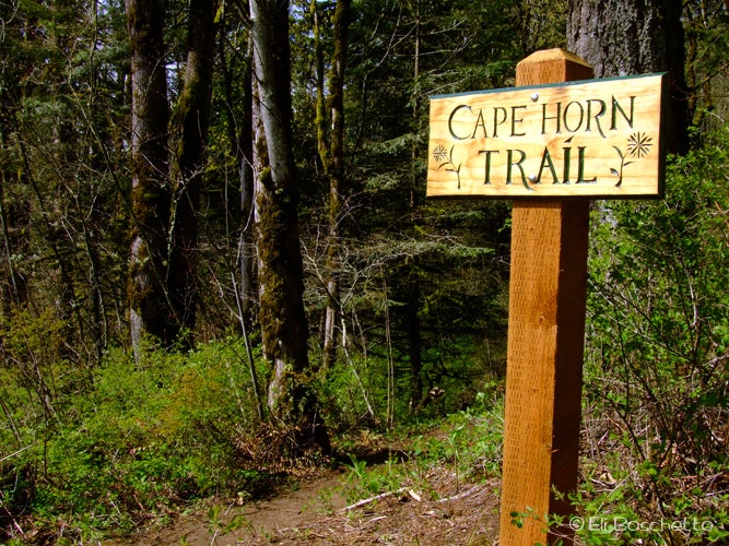

Looking for a Columbia Gorge hike without the crowds and parking hassles of the popular Oregon-side locations? Cape Horn, a mere 30 minutes east of Vancouver, is just the ticket.
Start at the trailhead across the street from the parking area. In spring and summer you’ll climb up through shaded woods sprinkled with candyflower, bleeding heart, creek violet, and early-season trillium. Forget your map? Pick one up in the tree-mounted map box a short ways up the trail – it’ll help guide you around some confusing junctions. Climb to the top of the ridge for views across the Gorge to Multnomah Falls, Larch Mountain, and Beacon Rock. When you reach Strunk Road, hang a left (east), then right (south) on gravel Rim Road. You’ll pick the trail back up at the end of Rim Rd. Look for summer blackberries along the meadows here.
ADVERTISEMENT
Back in the woods, start descending toward the river. Cross Highway 14, then switchback down a large rockfall to a viewpoint directly over a train tunnel with fantastic views up and down the Gorge. At this point, the trail turns east along the edge of the ridge. Switchback further up through another rockfall, then pass behind a tall, wispy waterfall. Enjoy the cool spray of the falls, then finish up by ending at Cape Horn Road. Hang a left and head up the road to your starting point.
-Mapped by Eli Boschetto, Bosco Mountain Photo


