Vail, CO: Red Buffalo Pass

OLYMPUS DIGITAL CAMERA
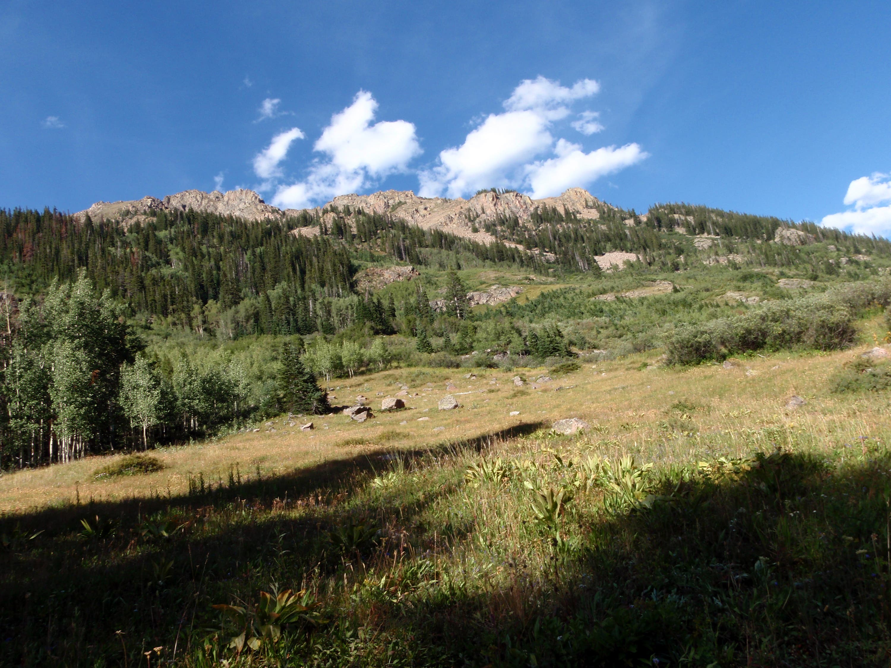
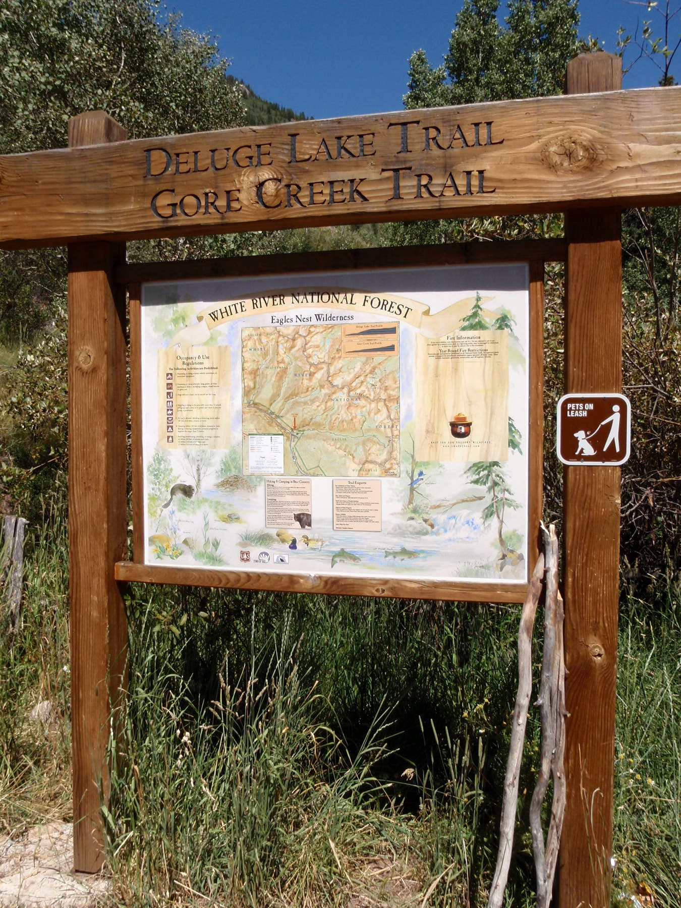
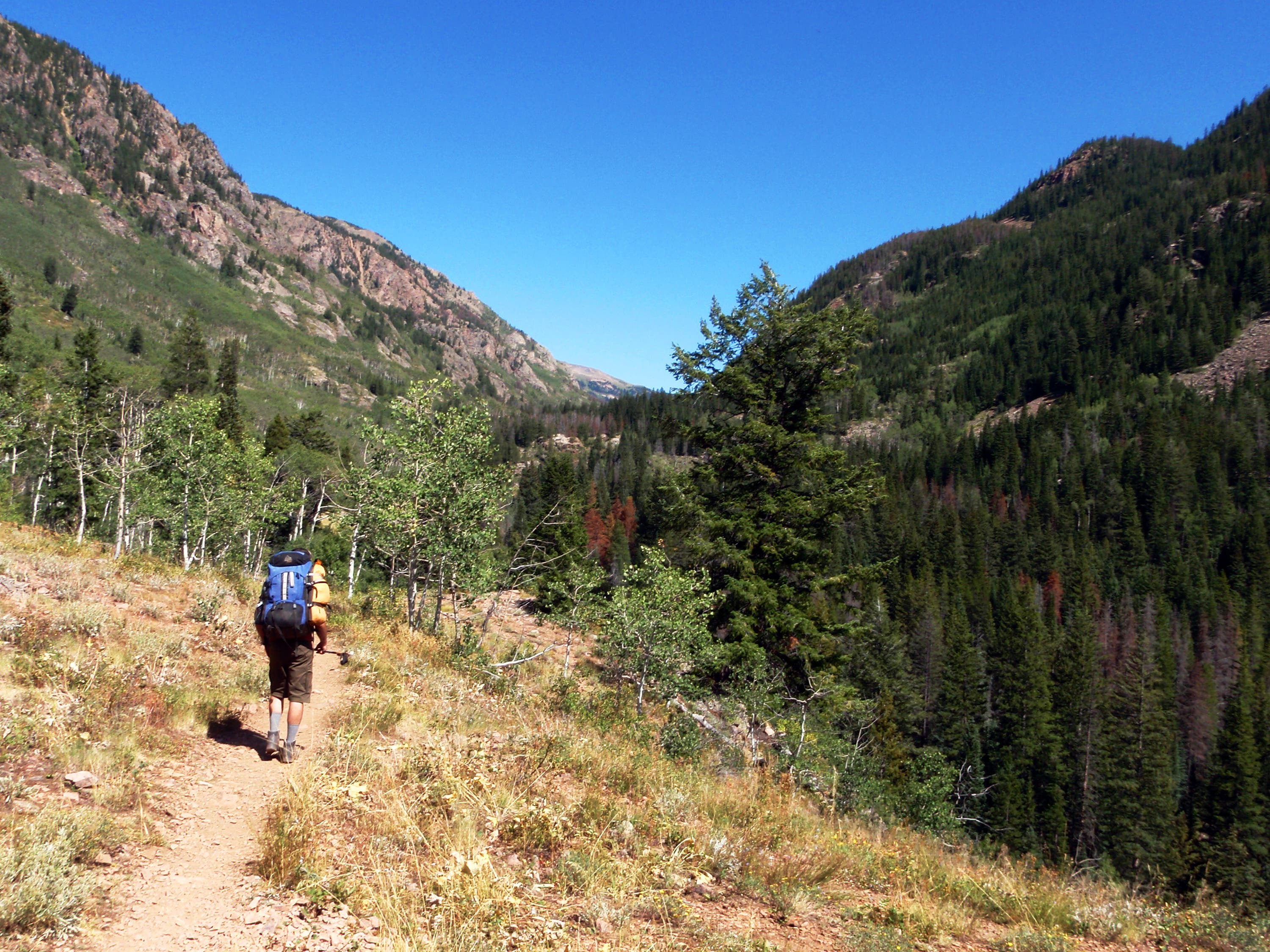
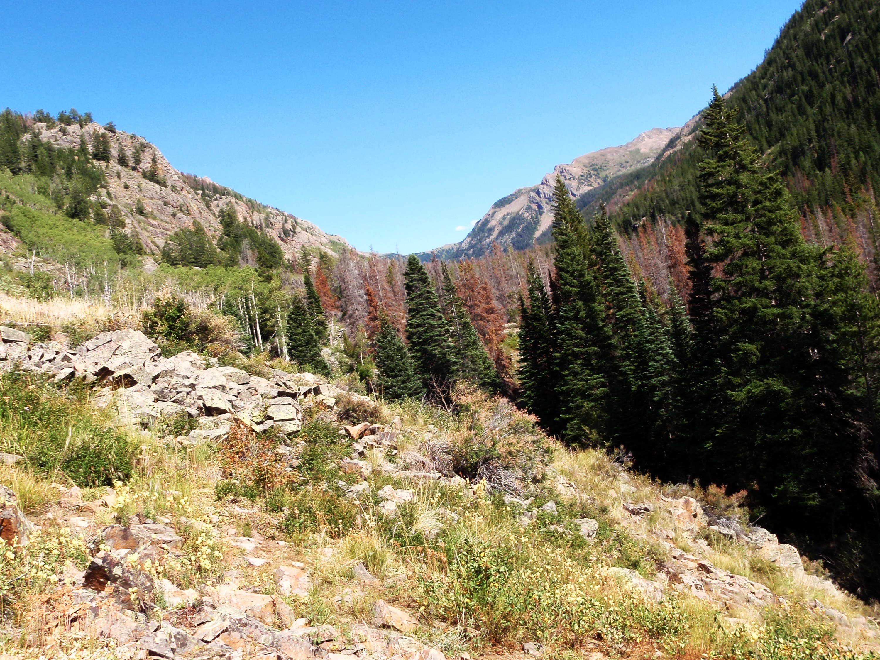
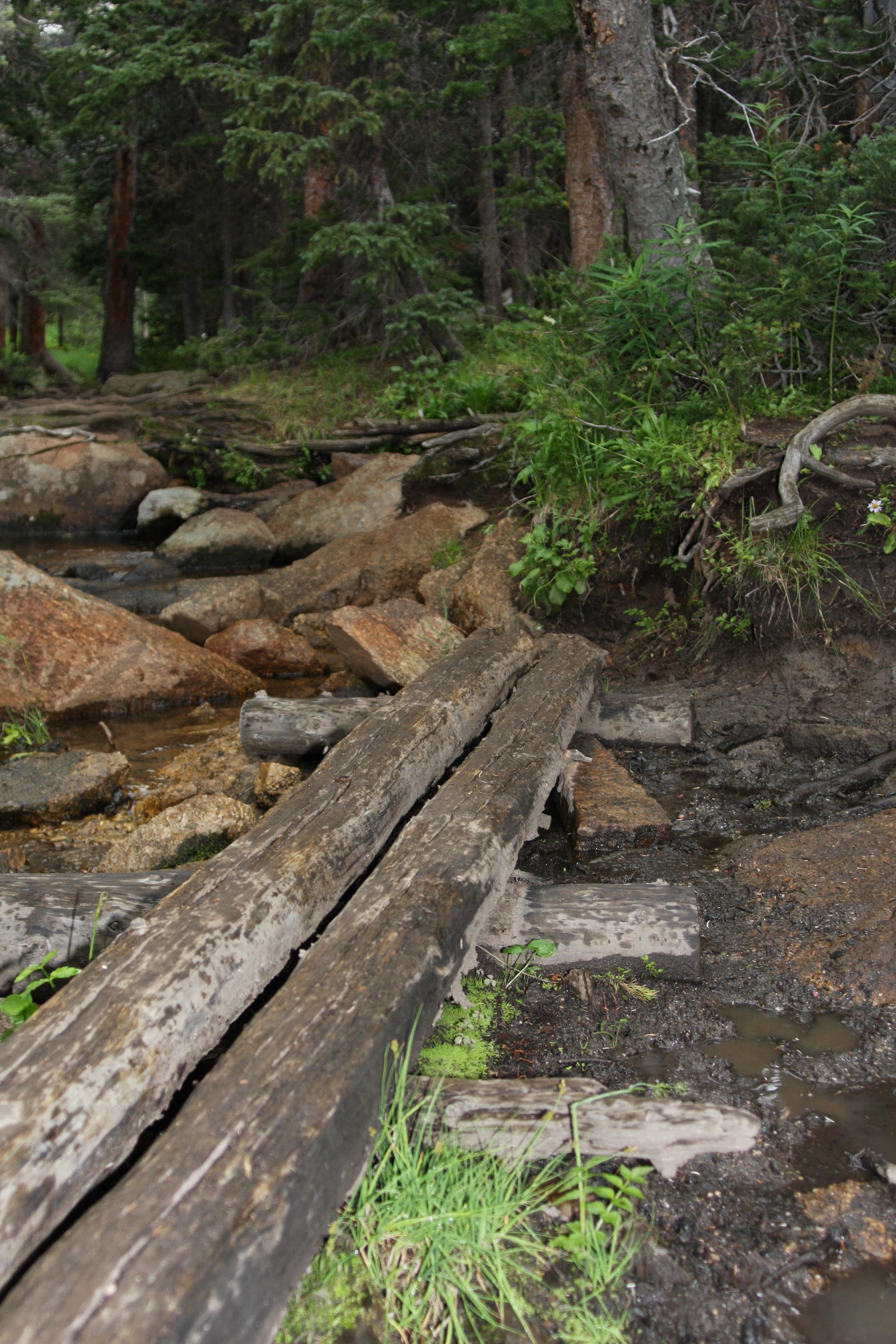
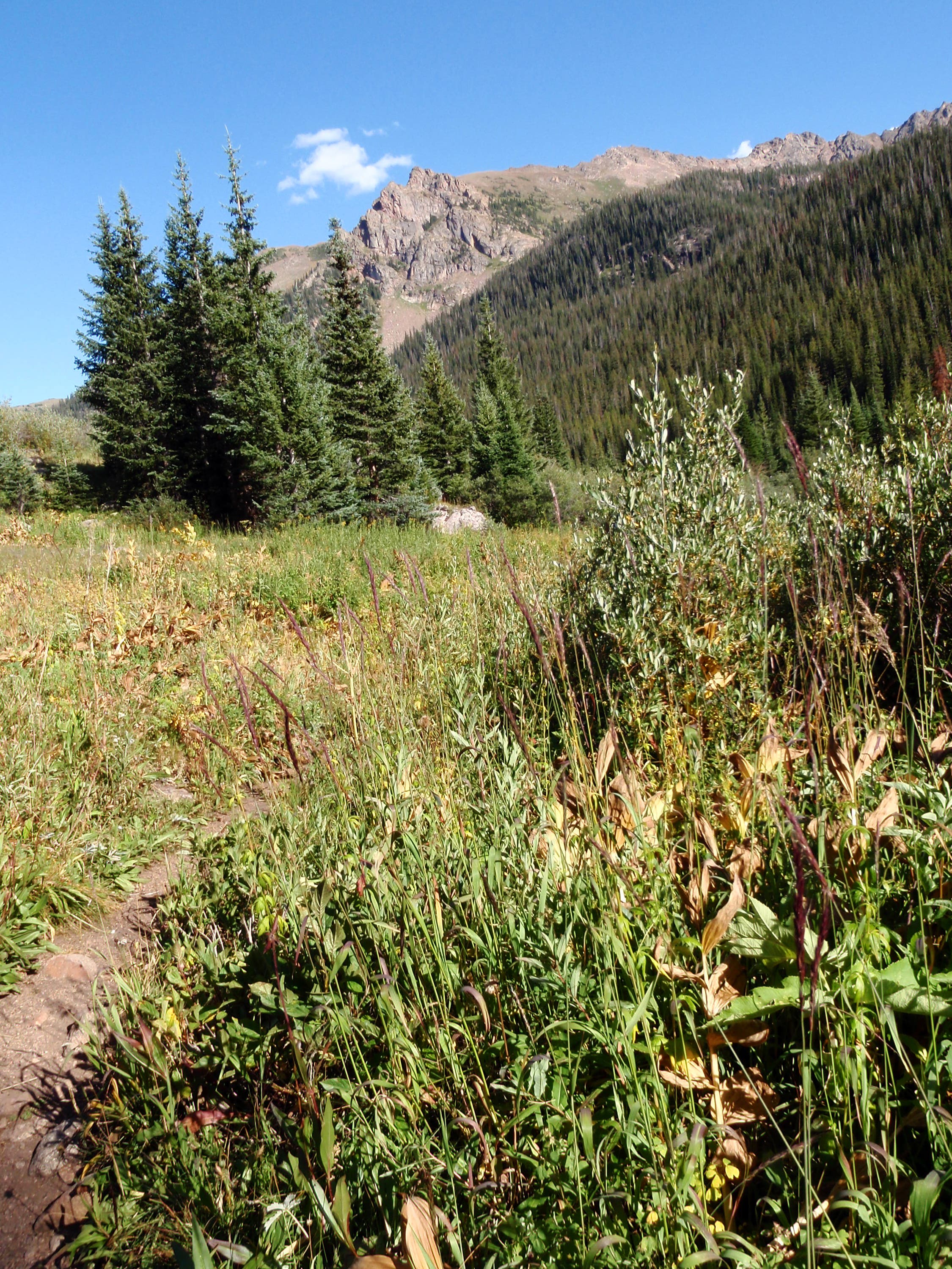
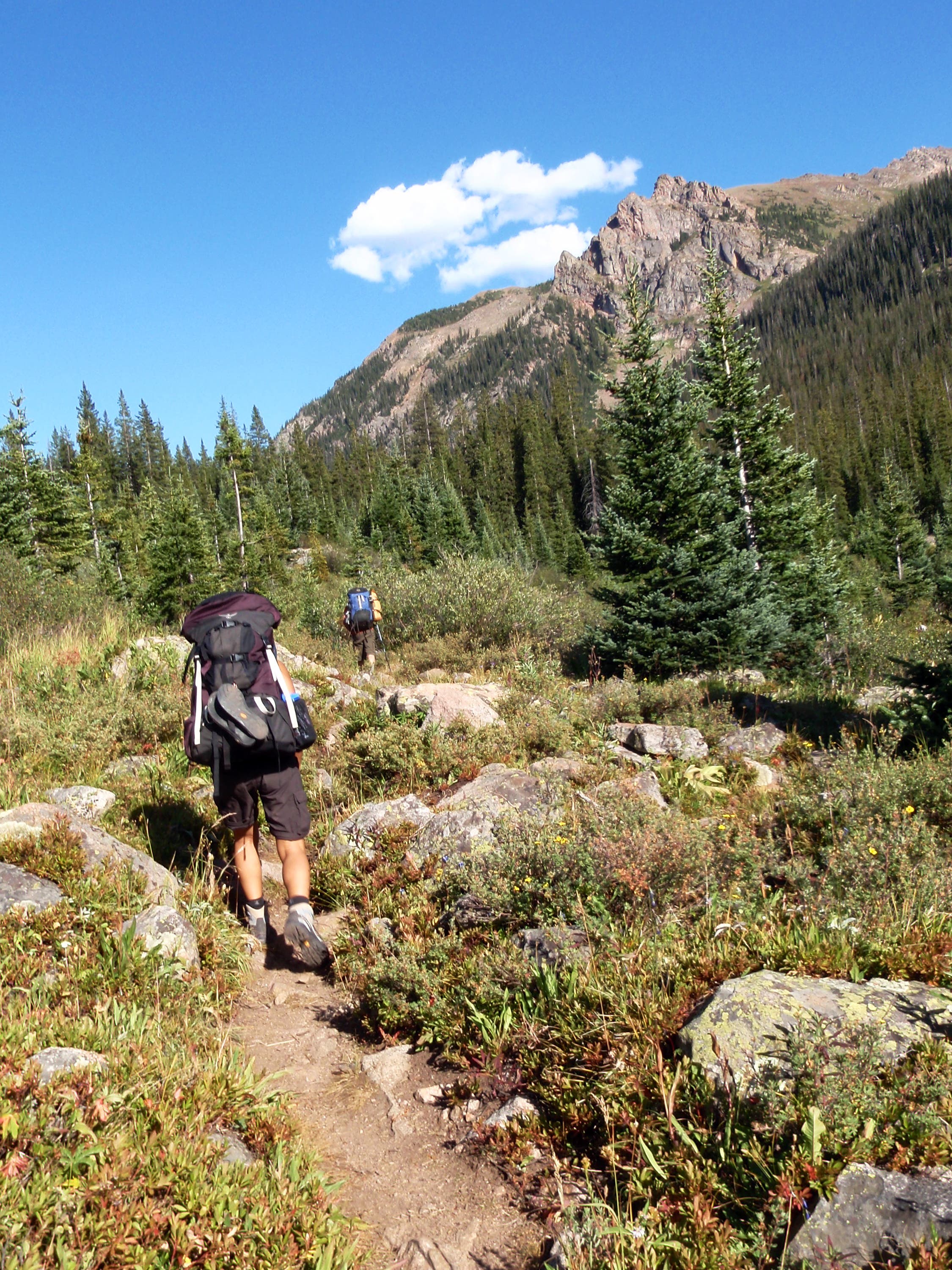
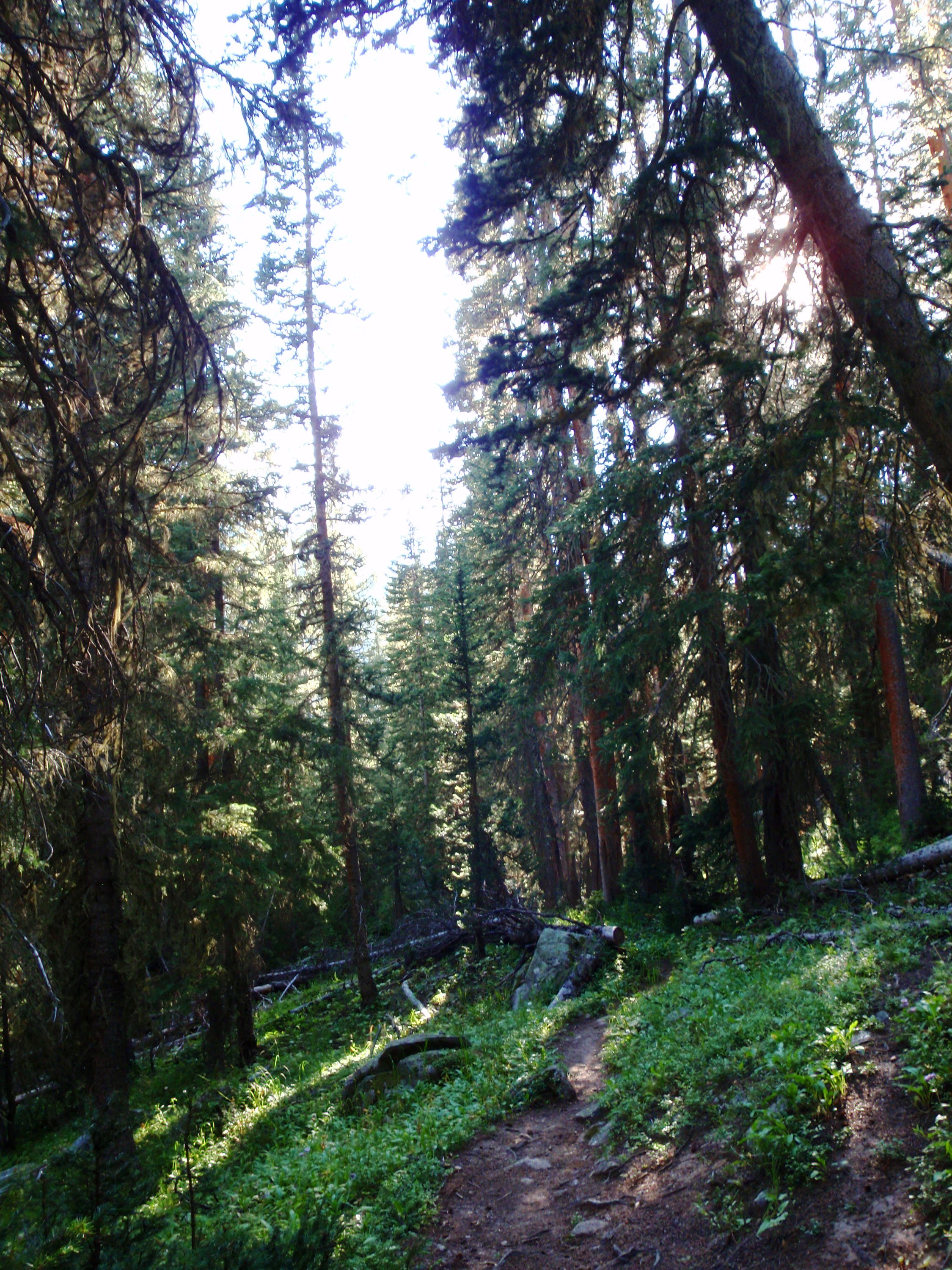
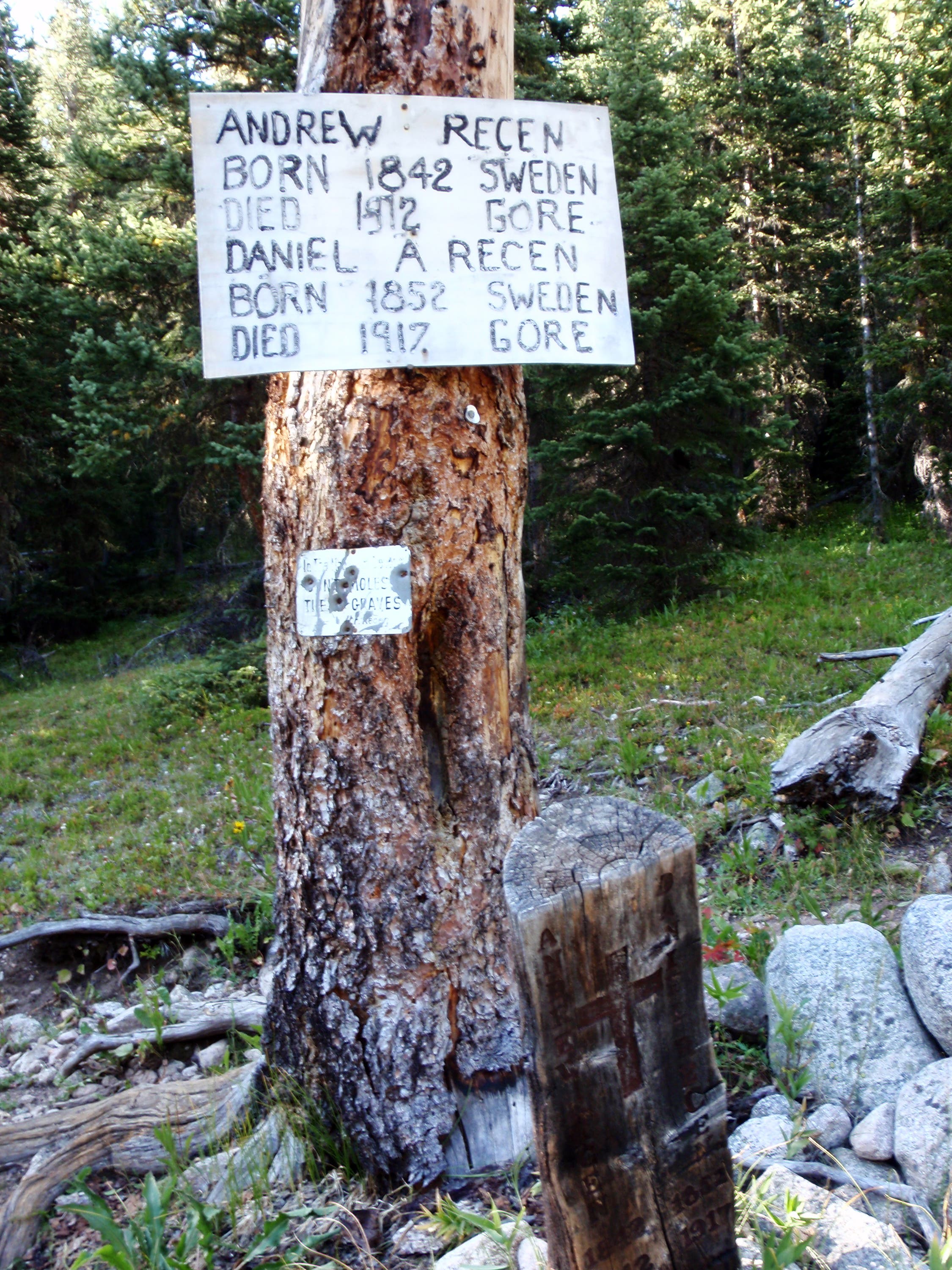
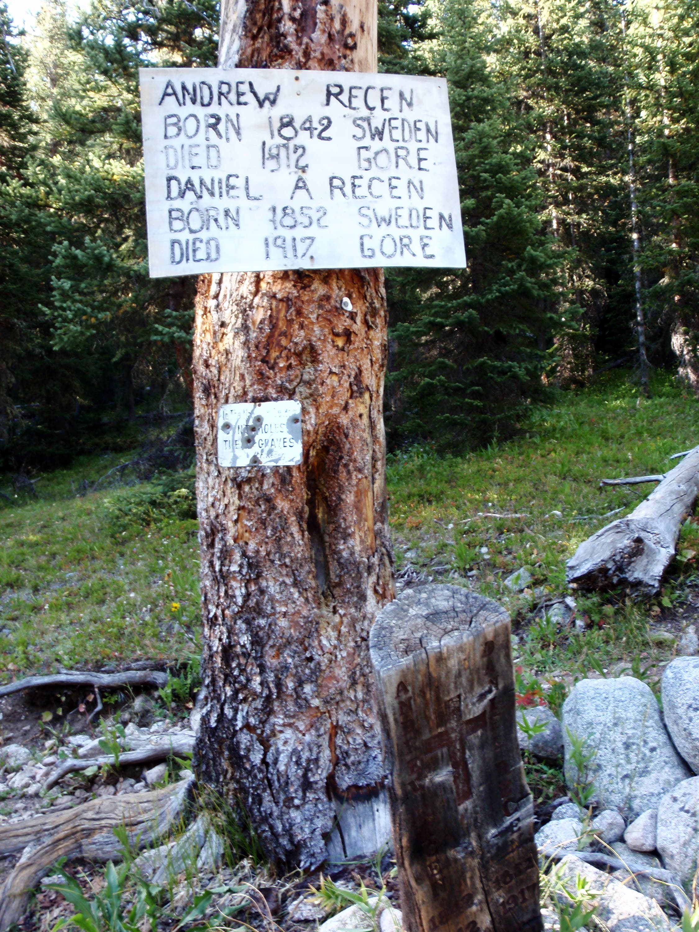
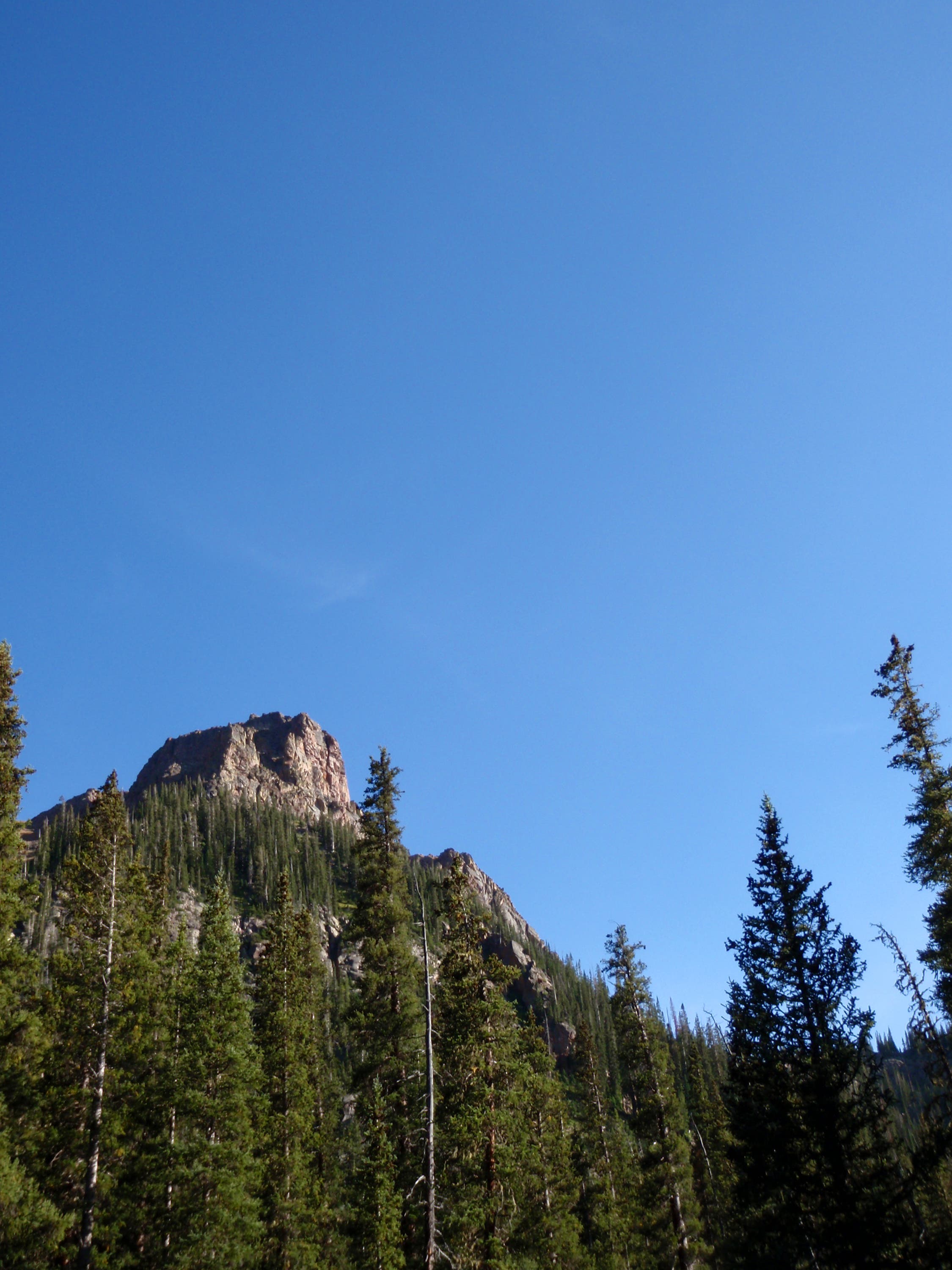
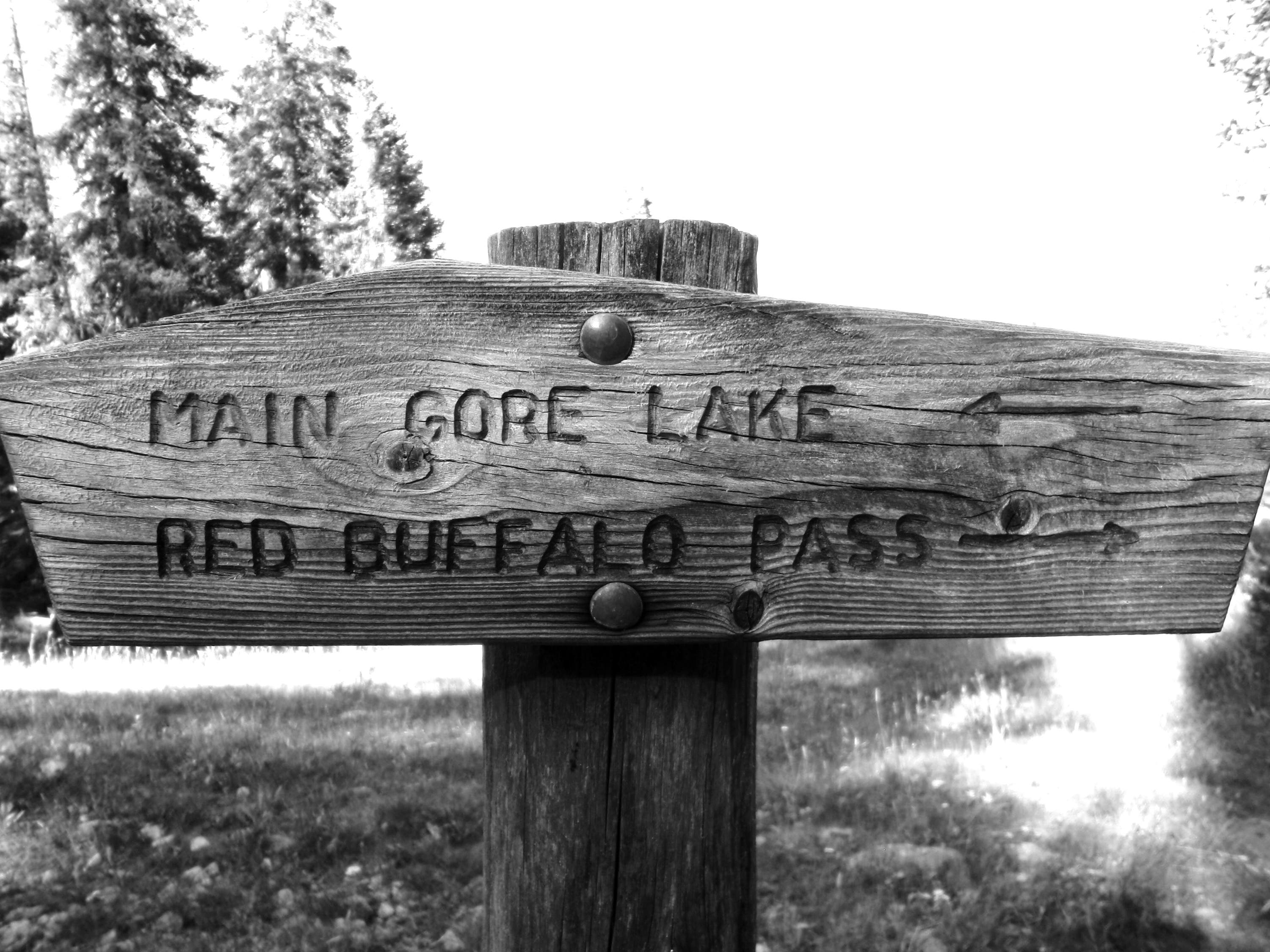
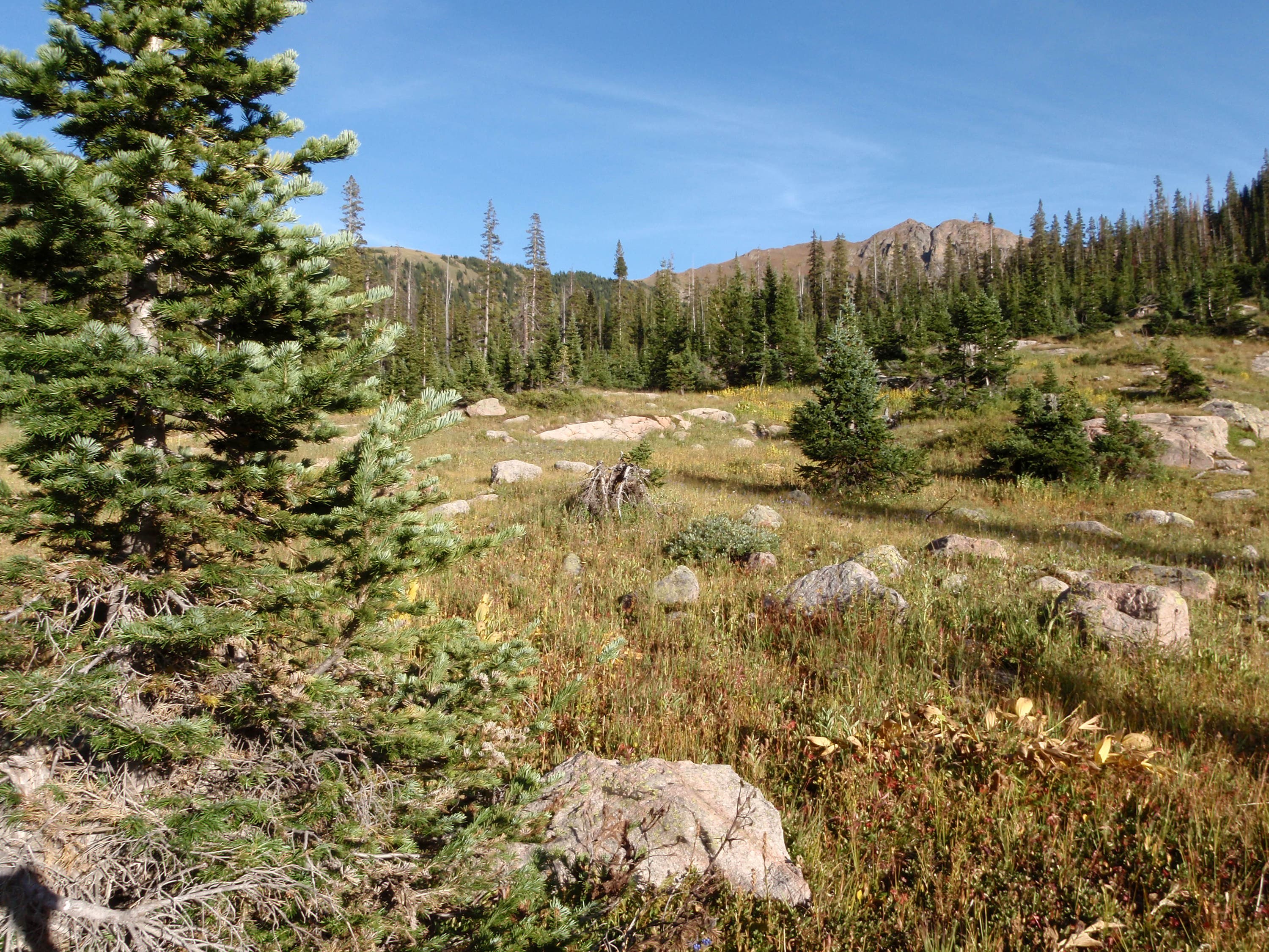
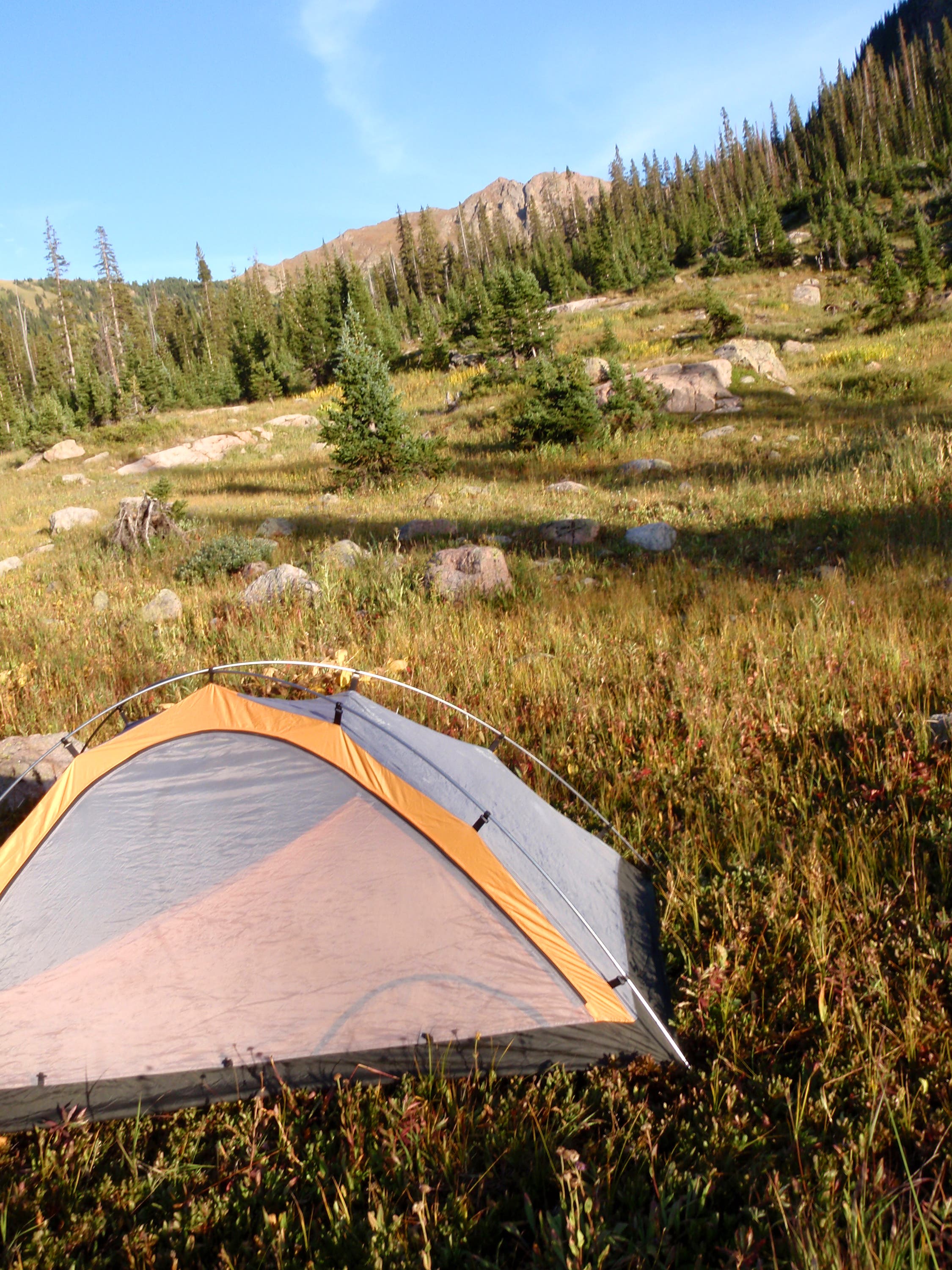
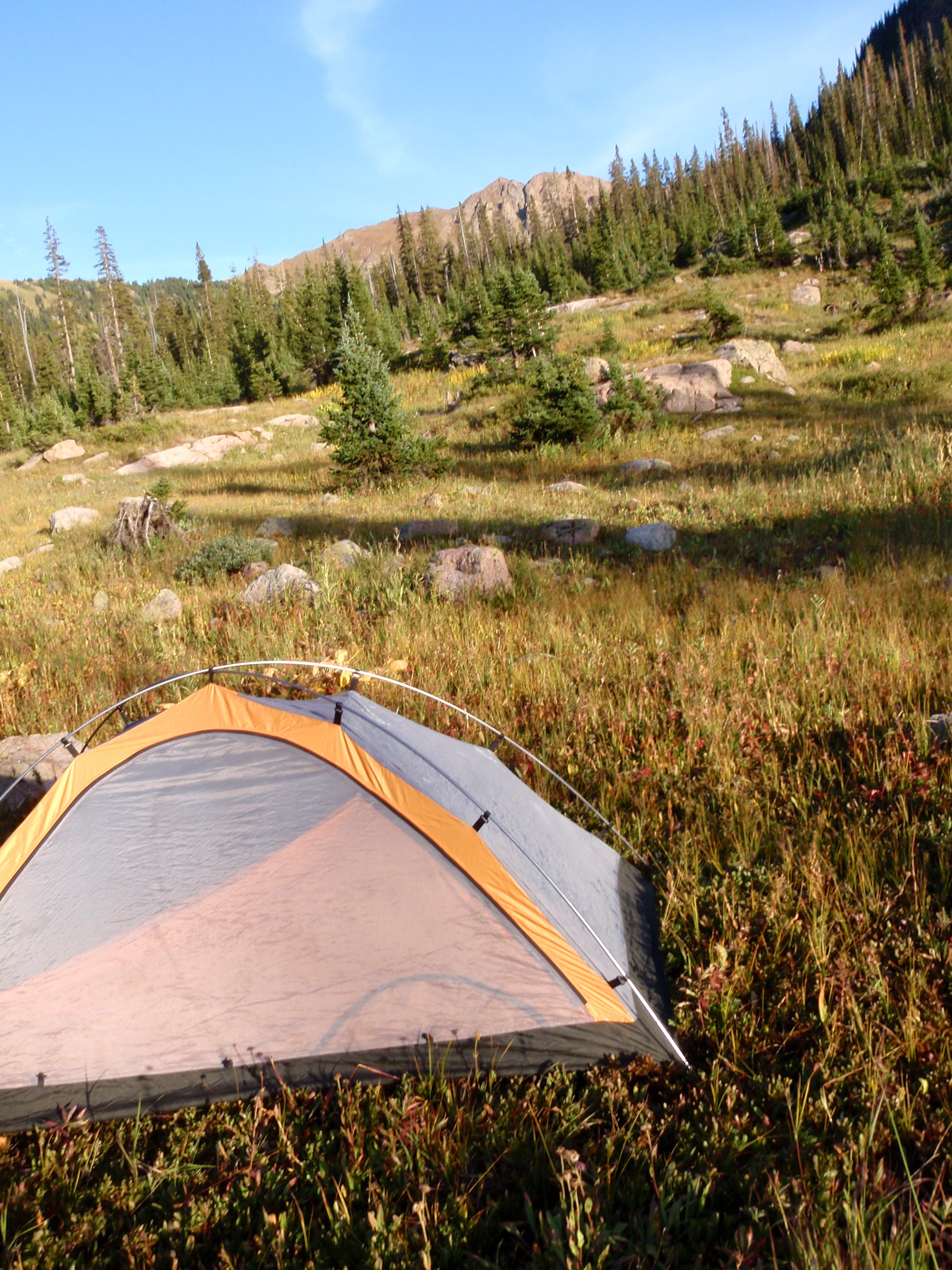
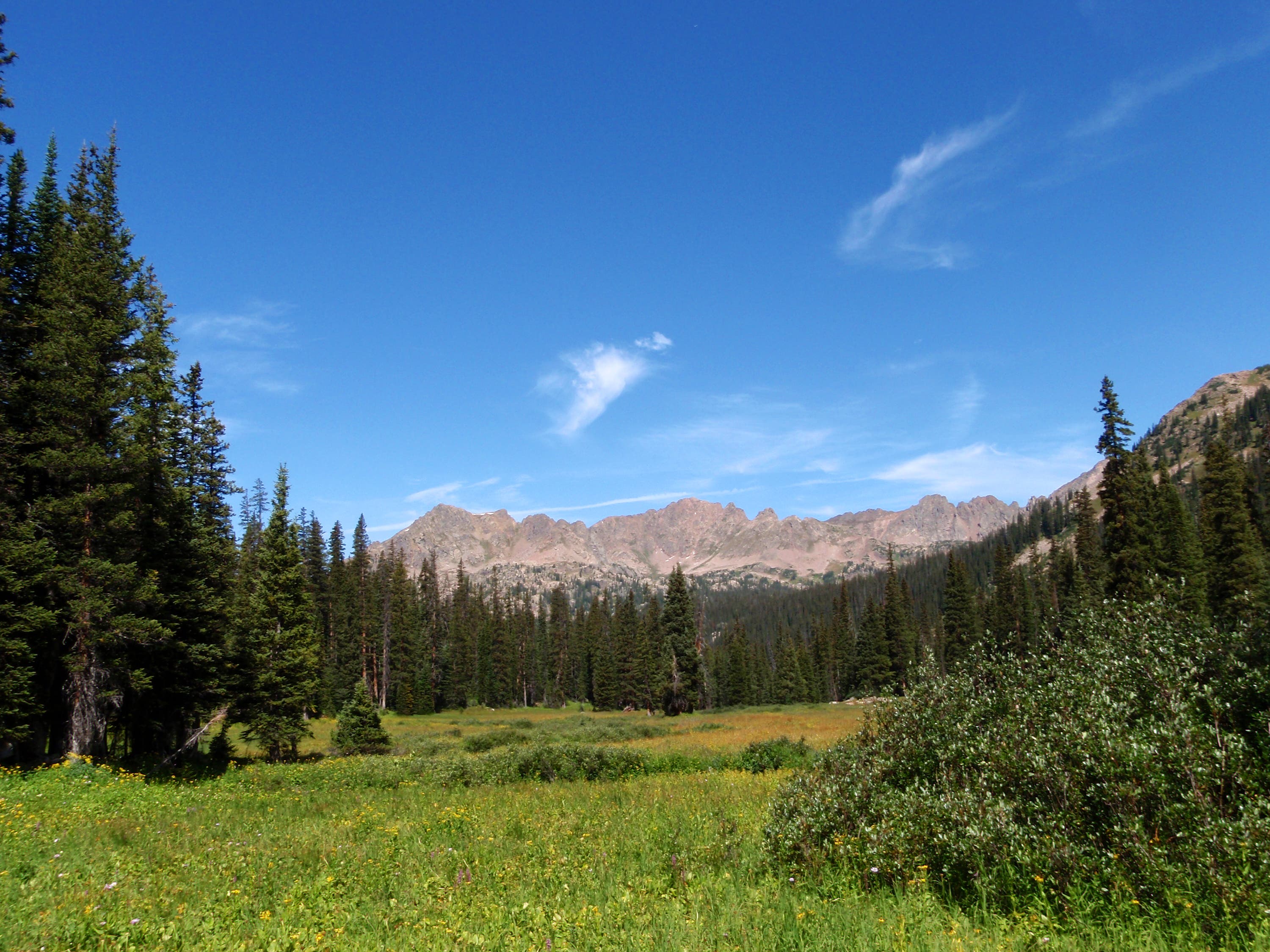
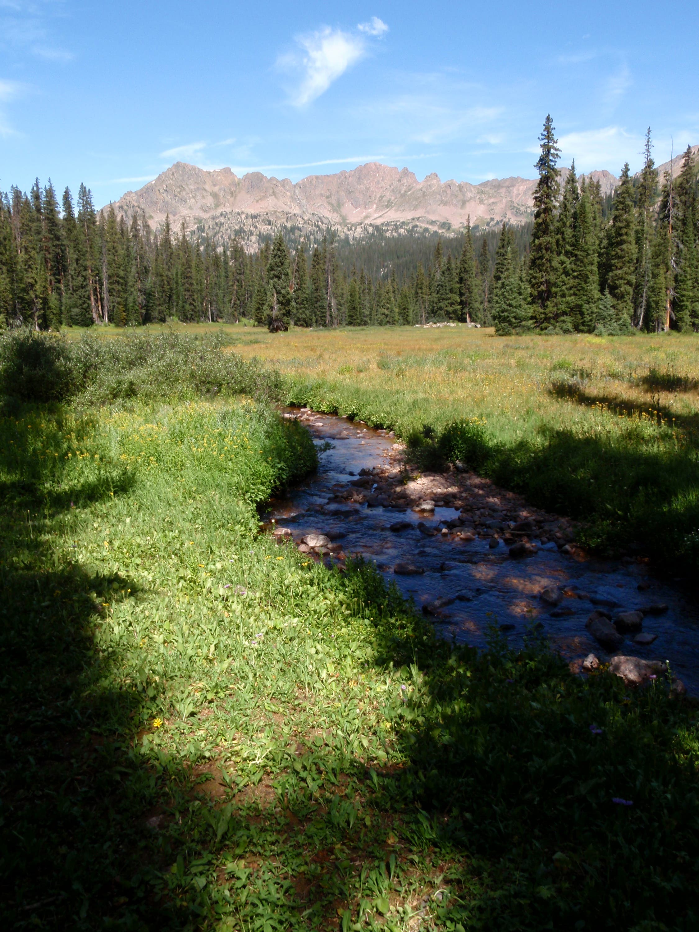
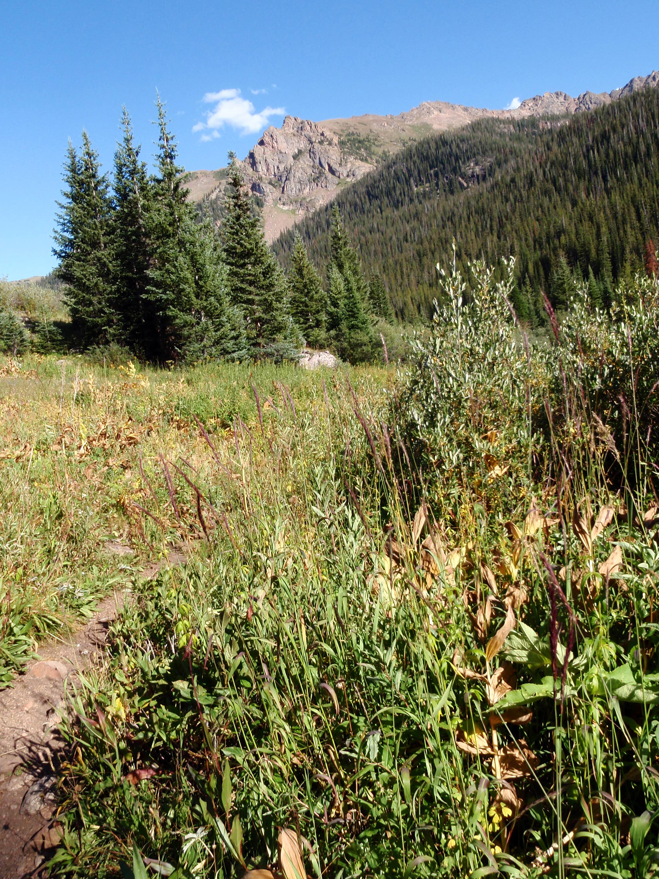
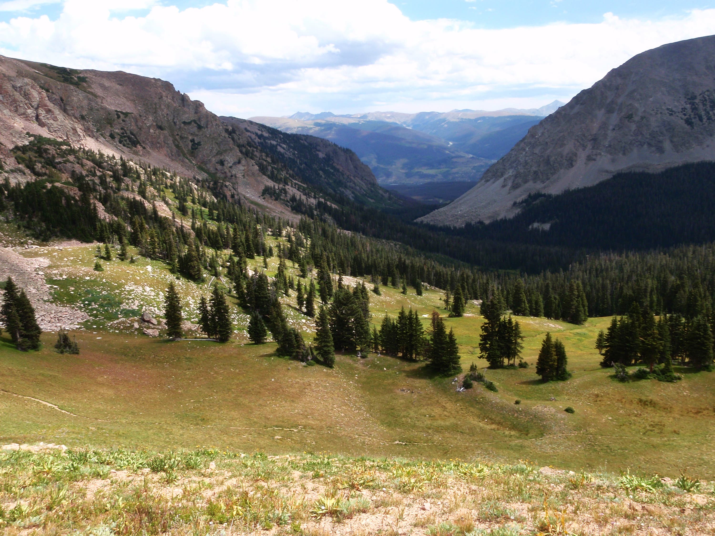
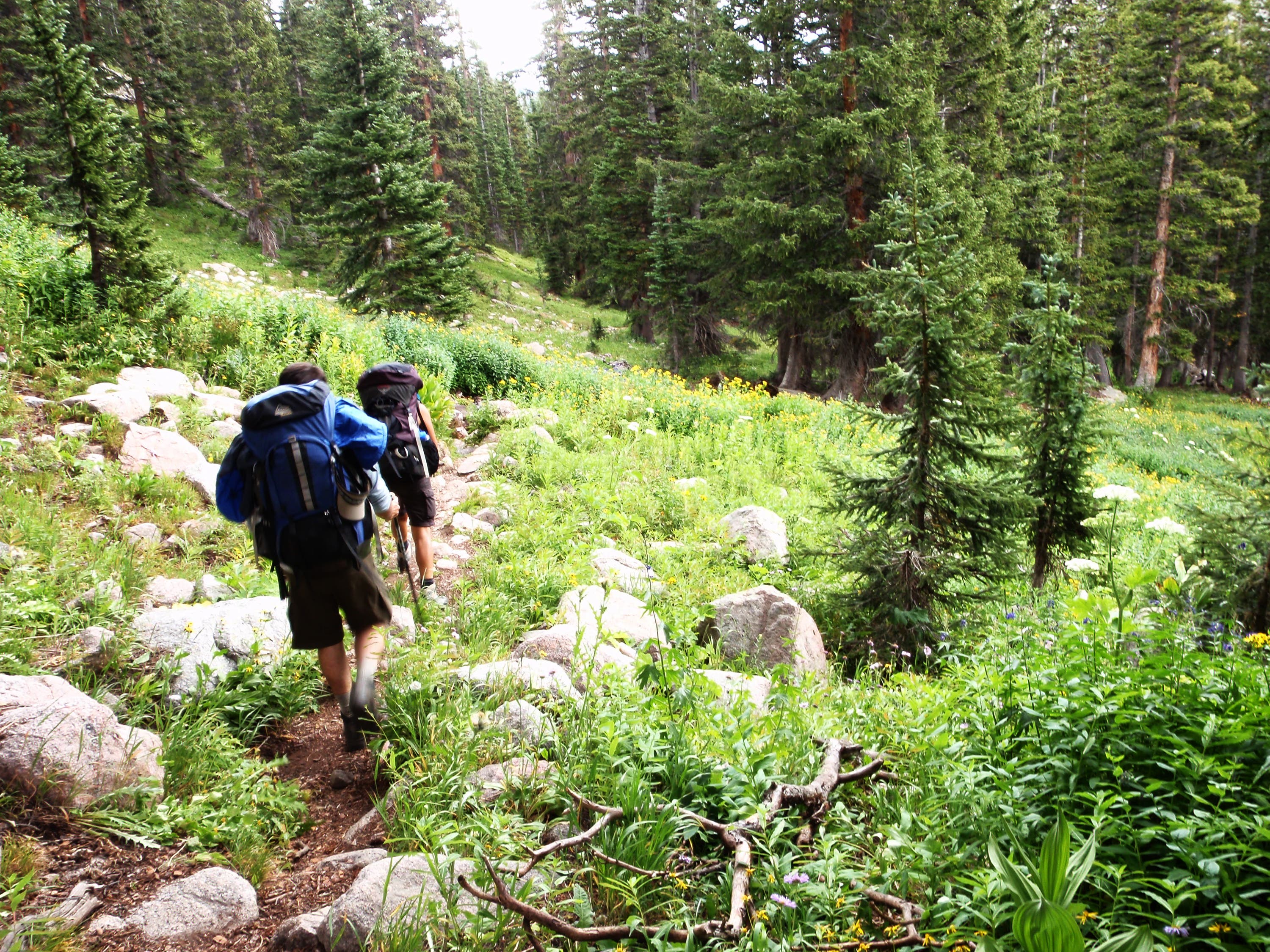
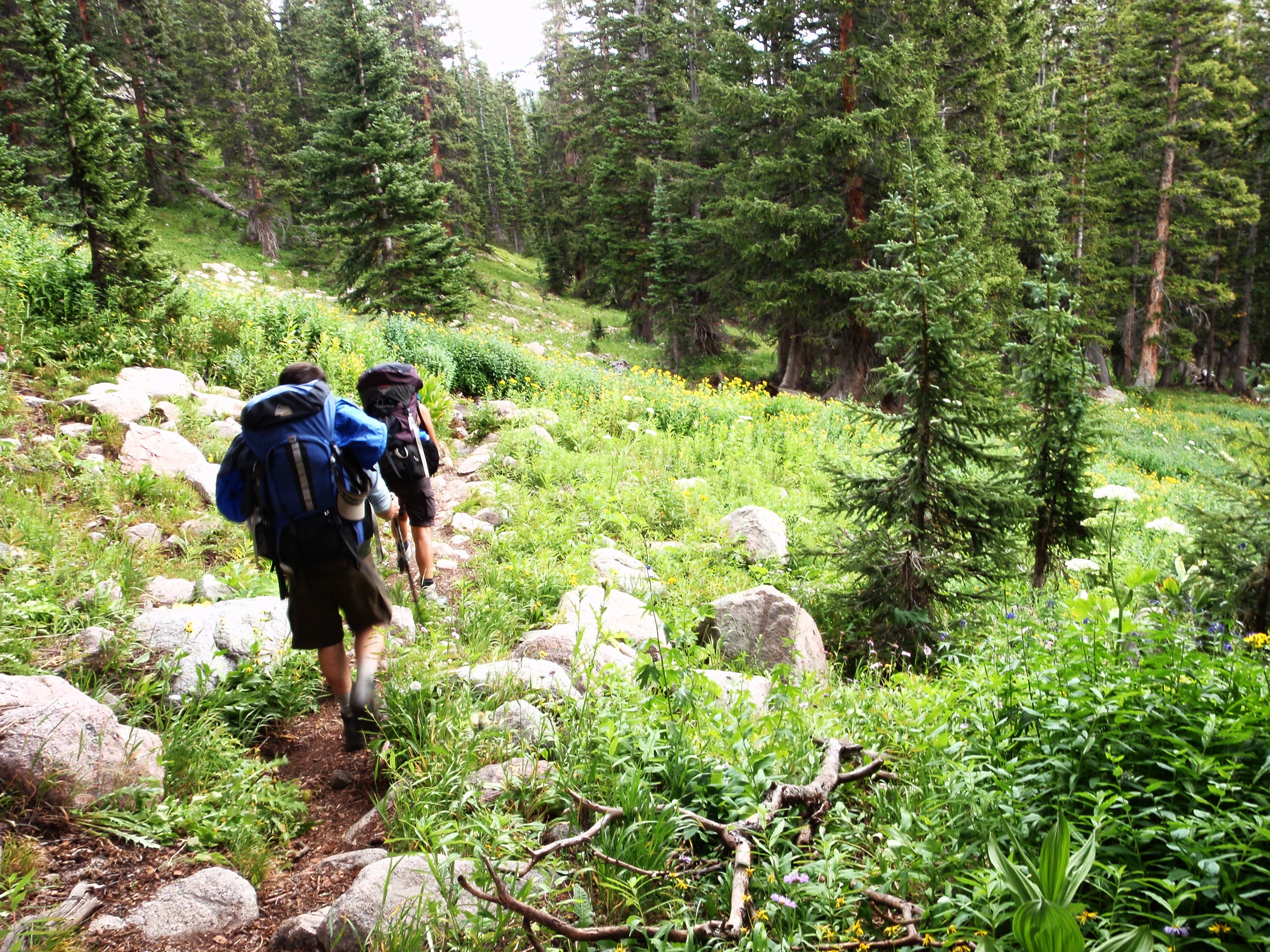
Day 1: Drop a car off at the Buffalo Cabin Trailhead in Silverthorne, then drive to the Gore Creek Trailhead in east Vail. From the trailhead, hike east on a narrow dirt path that parallels Gore Creek. The route climbs steadily as it travels through small meadows and fragrant forest. Less than 2 miles in, cross Deluge Creek on a narrow log footbridge and continue east. After 4.2 miles, hike past the graves of Andrew and Daniel Recen, who died in 1912 and 1917, and turn right. Cross Gore Creek on a log jam and continue another 0.7 mile to an expansive meadow rimmed by rugged peaks. Spend the night here.
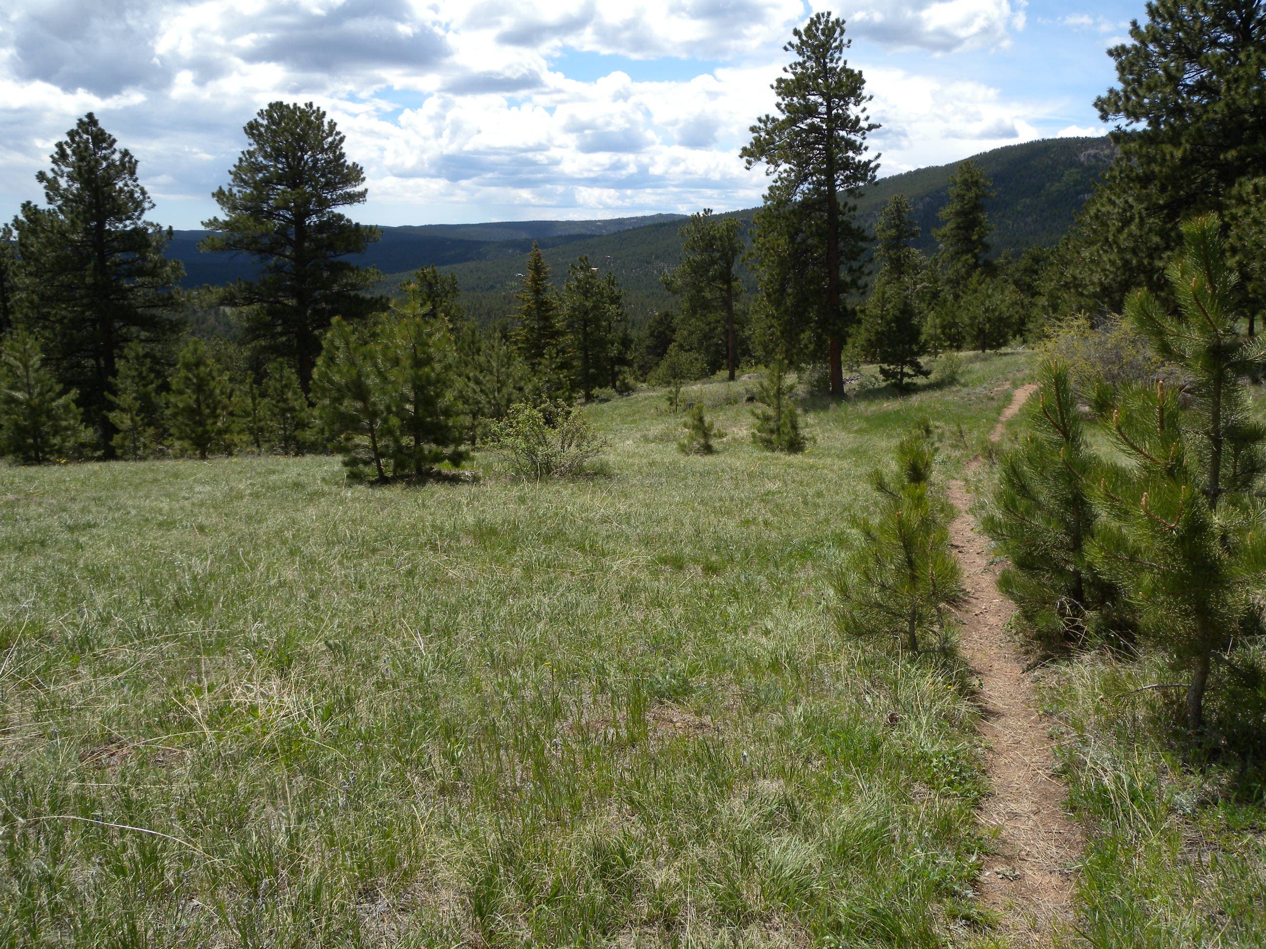
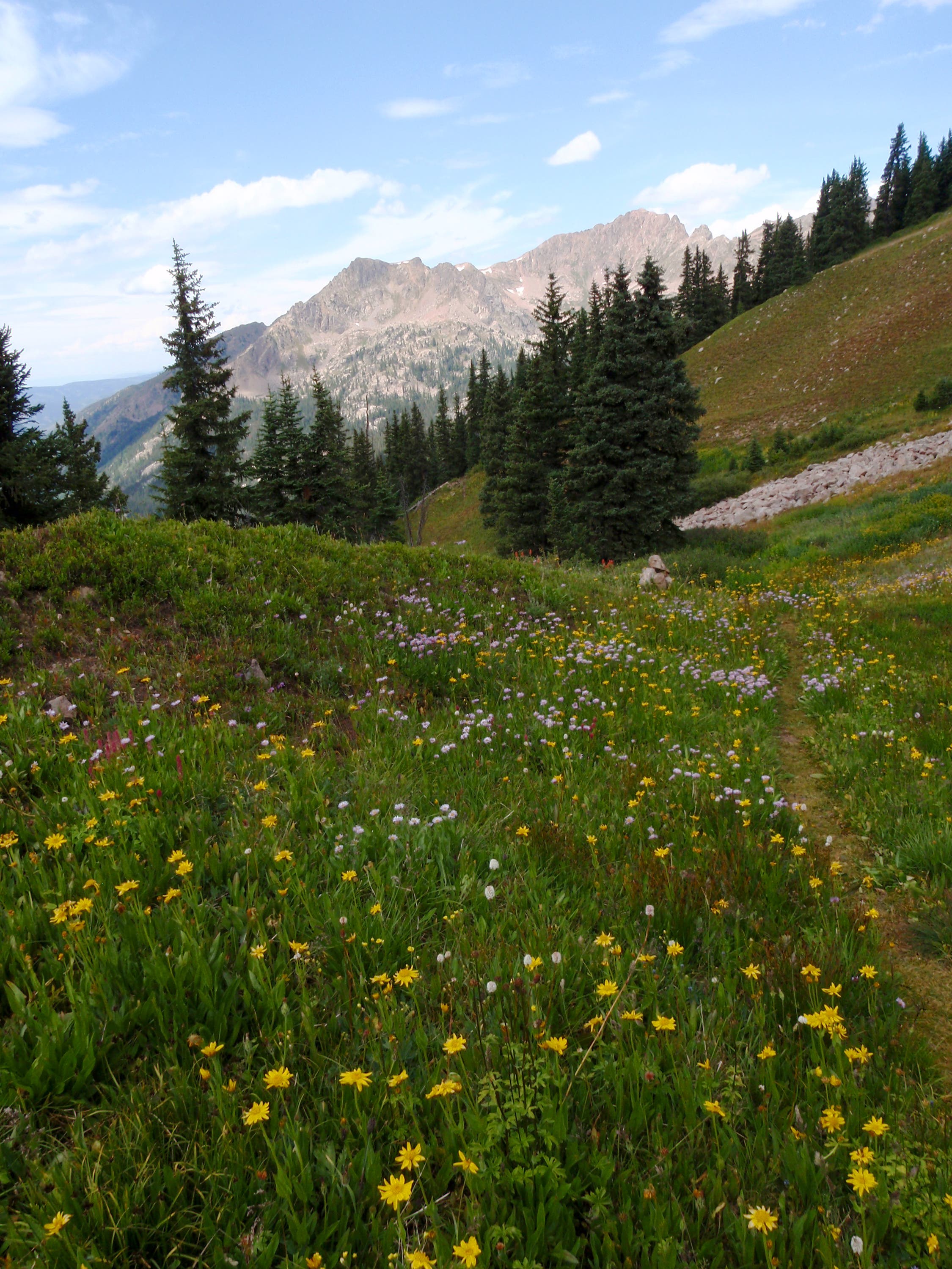
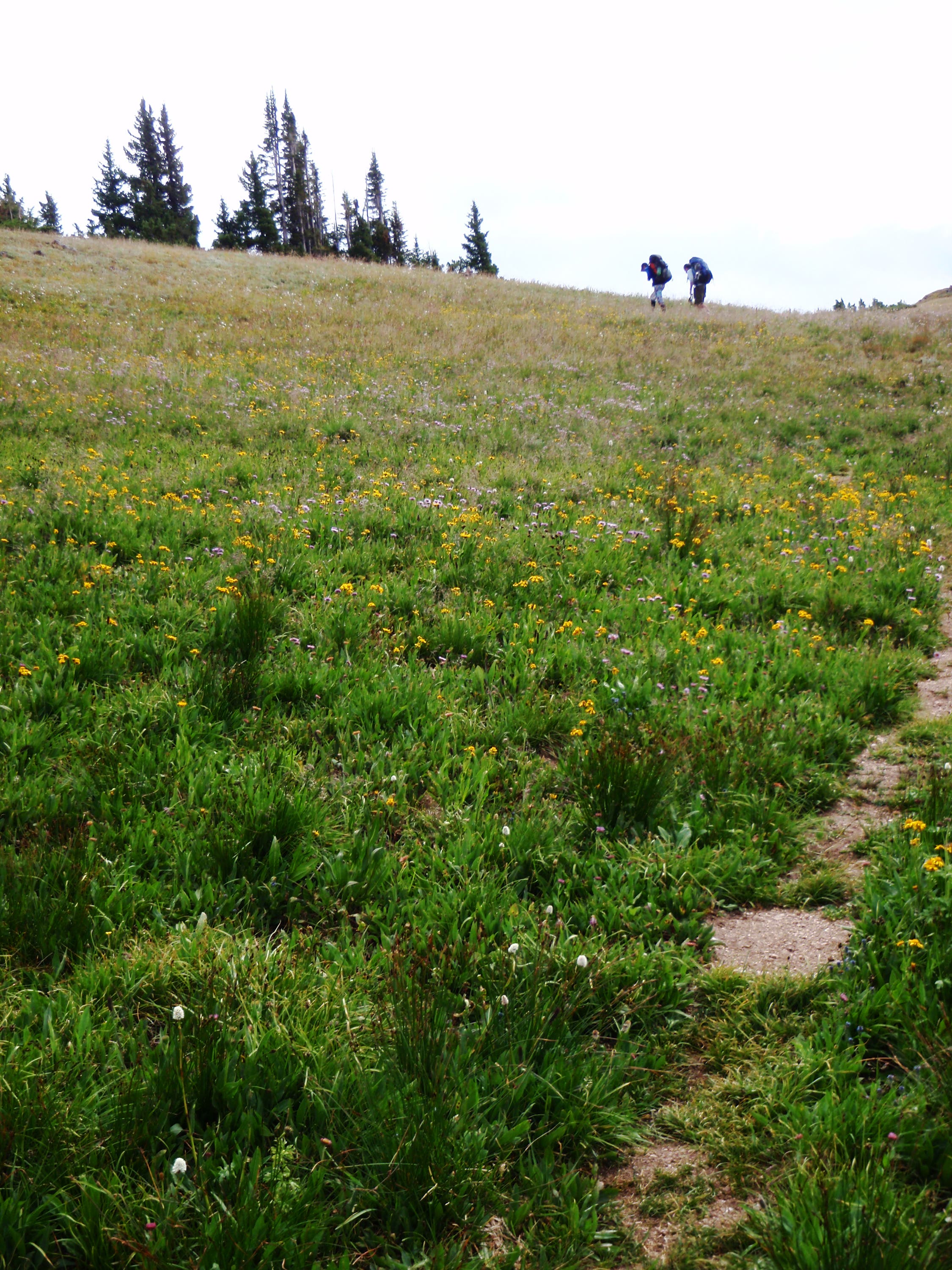
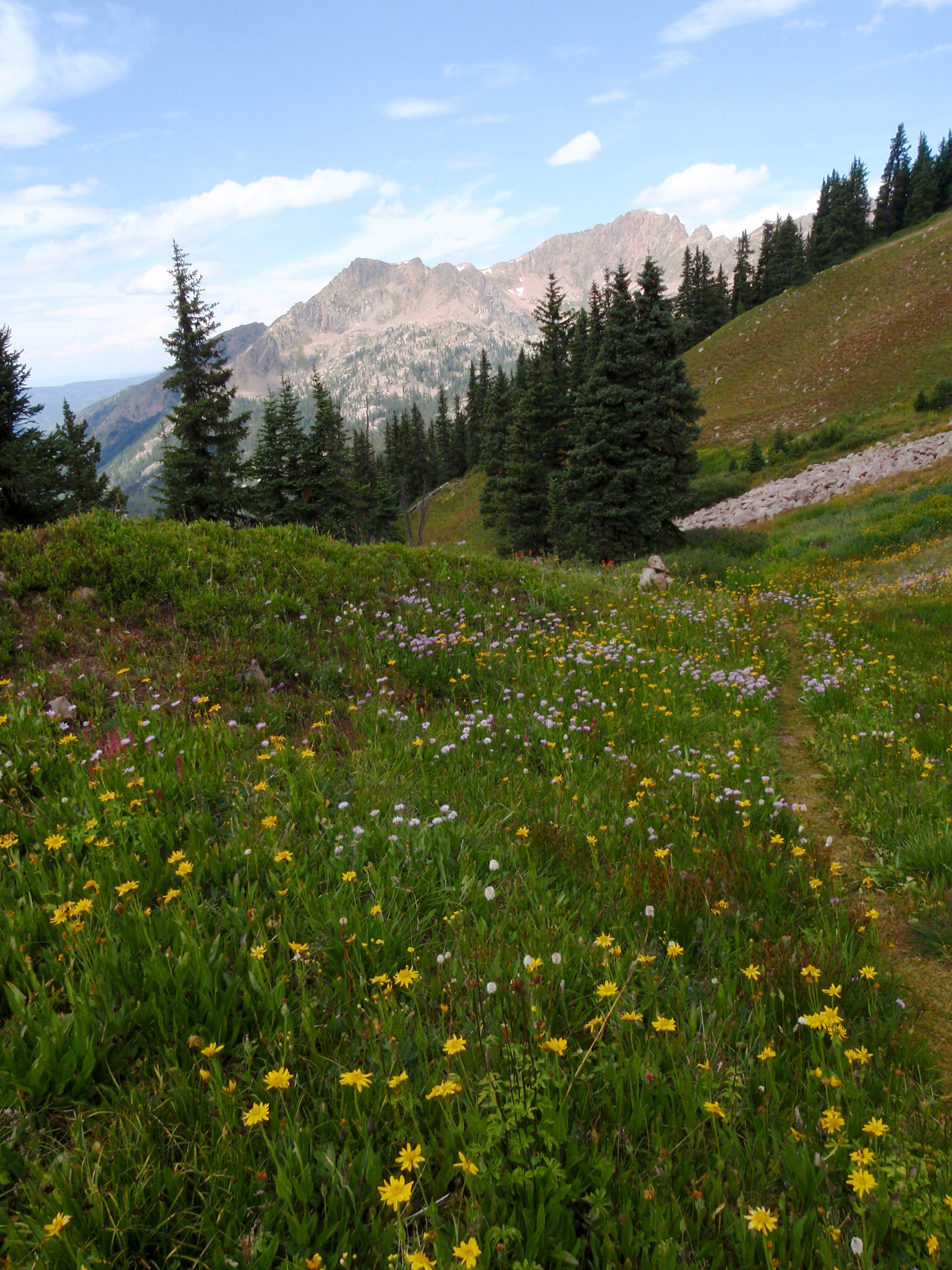
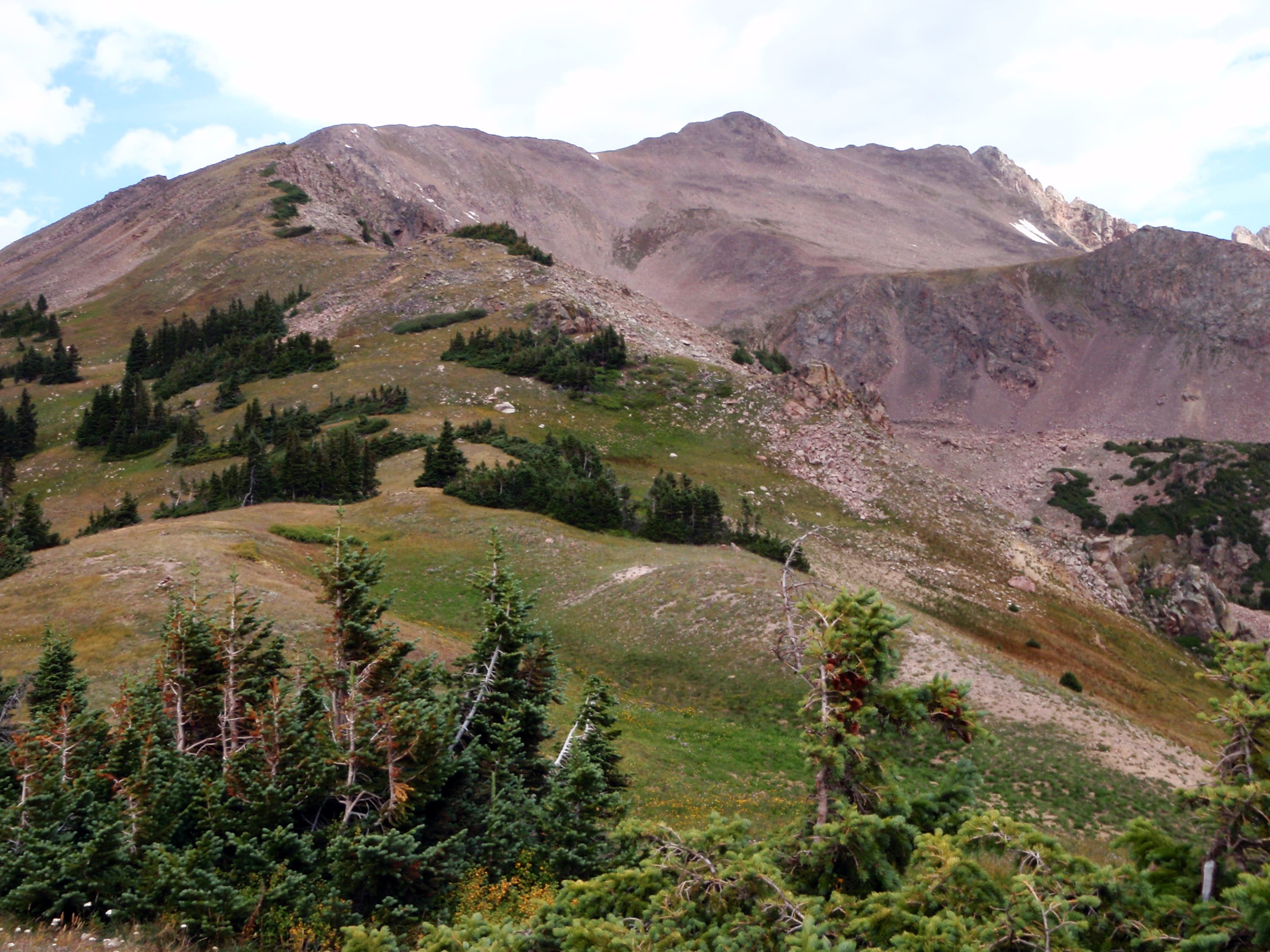
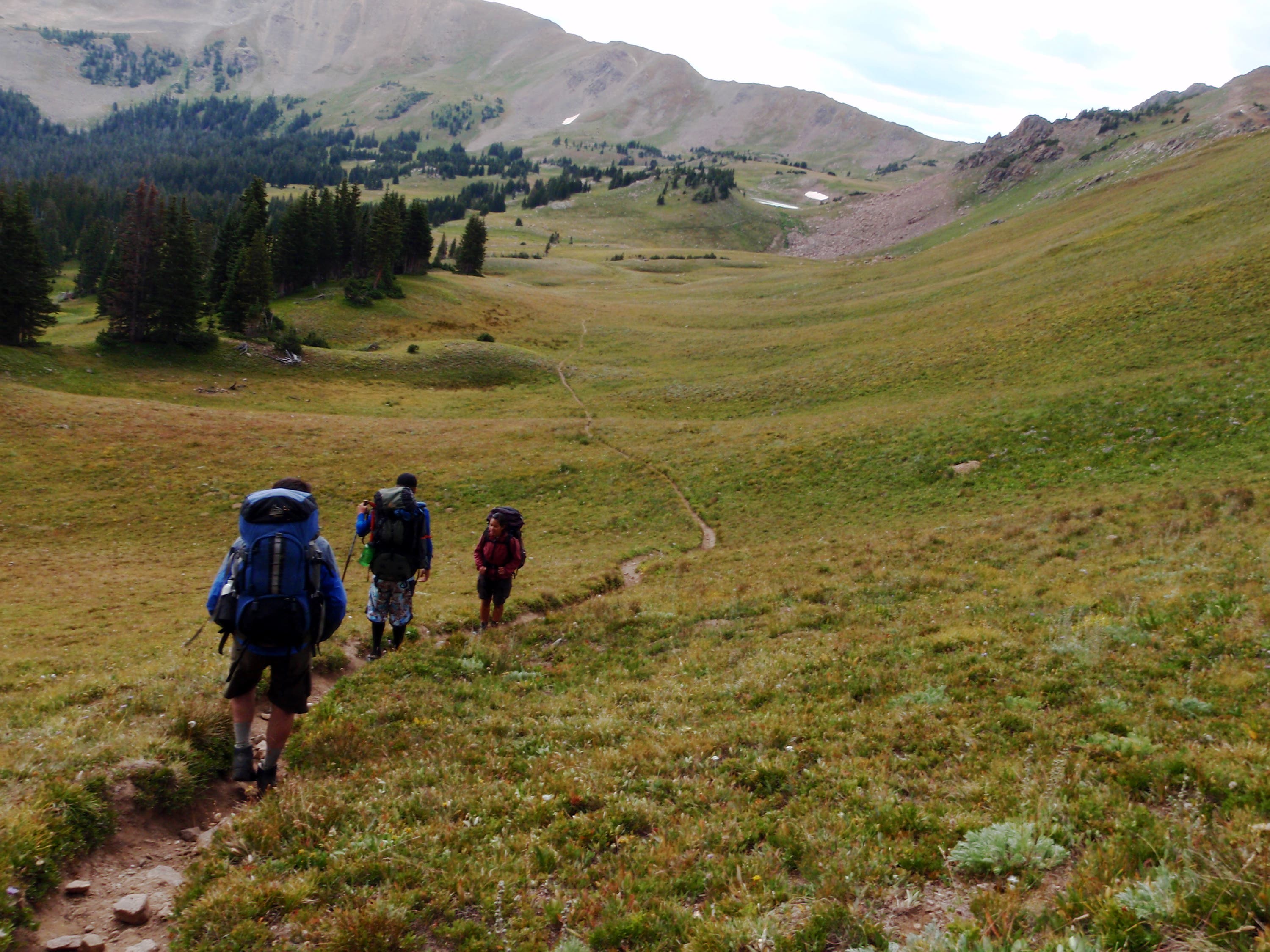
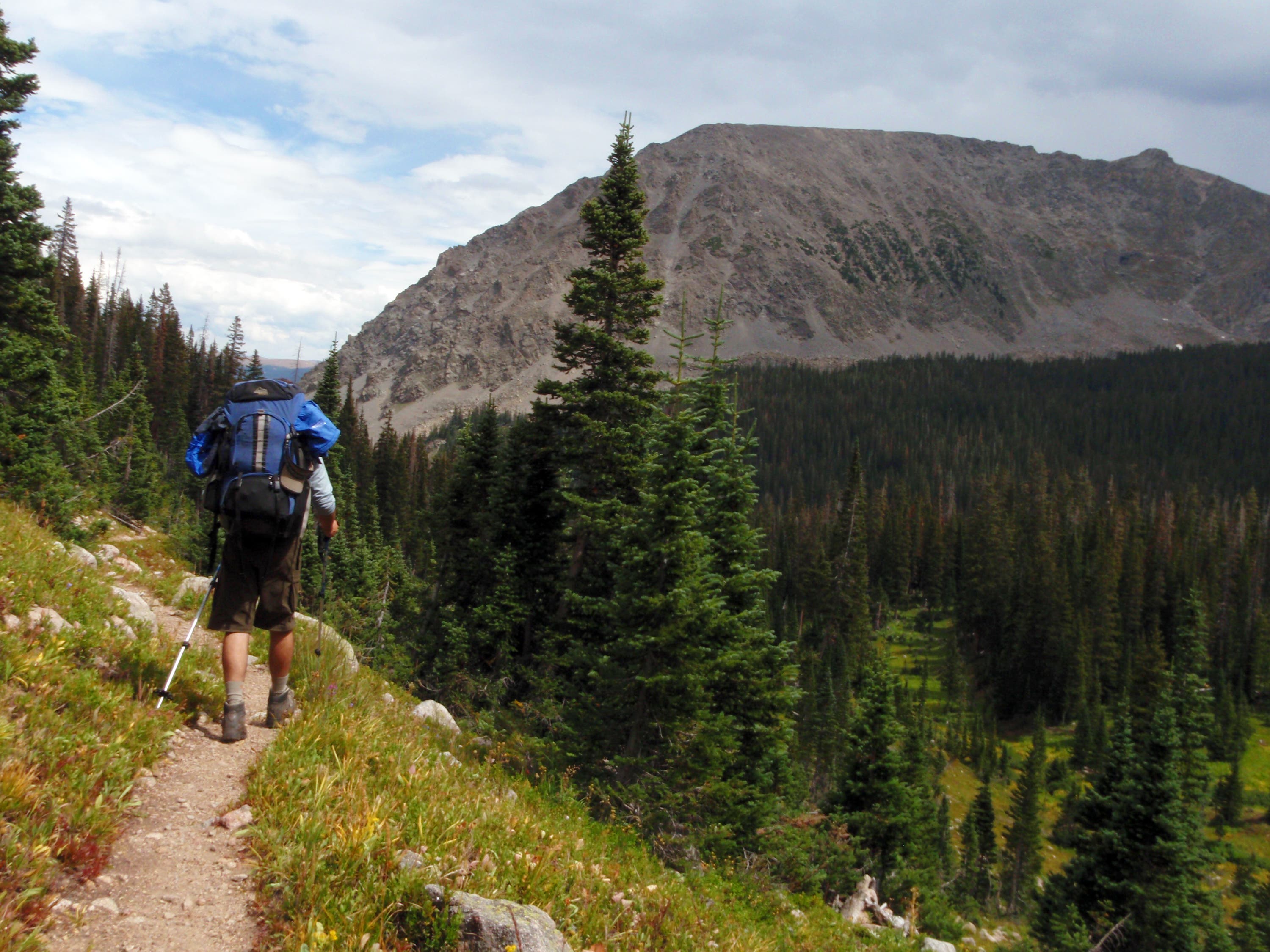
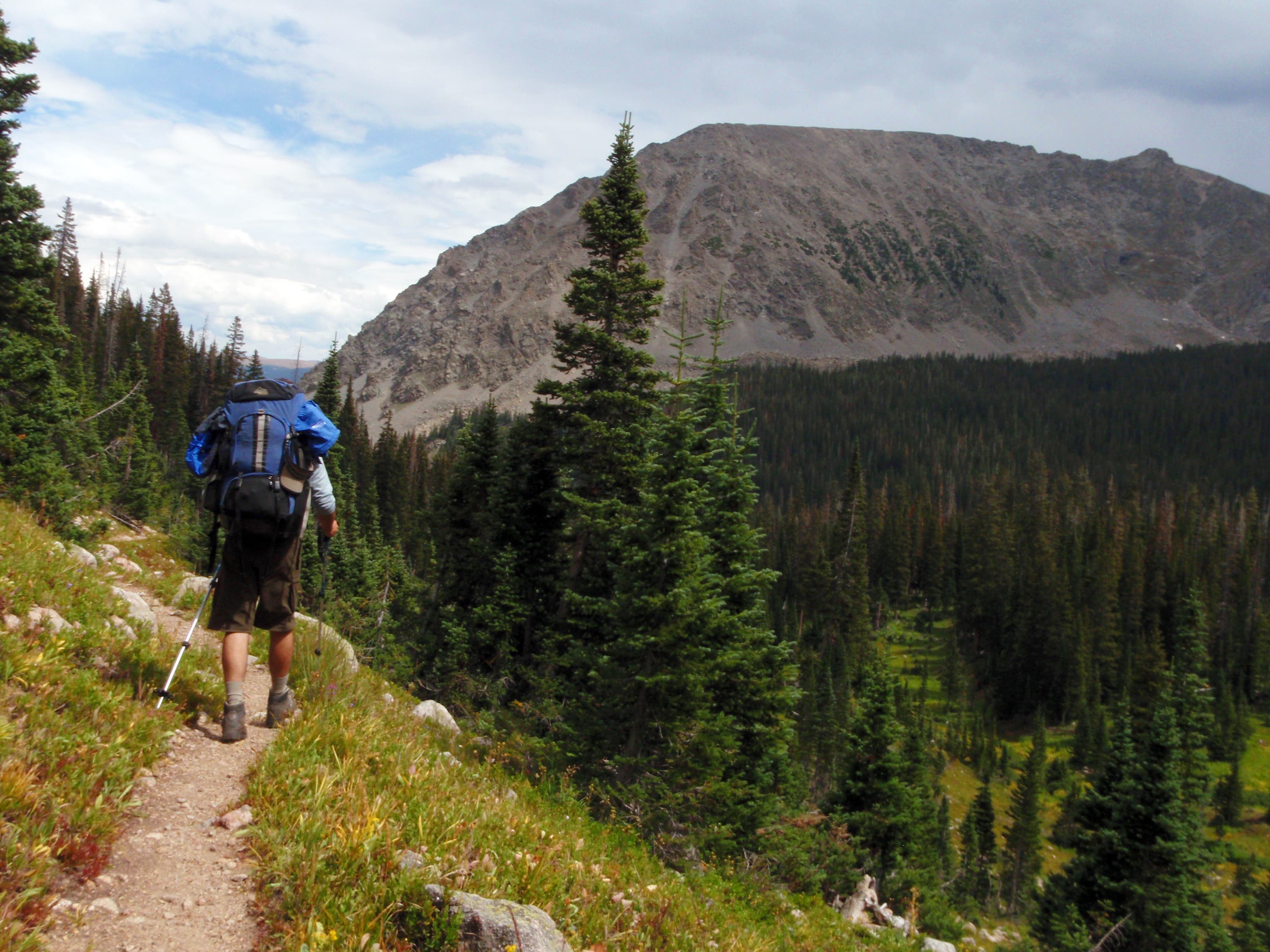
Day 2: Climb 2.3 miles to the top of Red Buffalo Pass, a broad and grassy saddle with striking views of Buffalo Mountain and Red Peak. From here, descend grass-covered slopes into the South Willow Creek drainage. The trail skirts the northern slopes of Buffalo Mountain before leaving the South Willow Creek drainage at mile 10.6. The final 1.7 miles of the trip travel southeast; you’ll cross a handful of creeks and encounter one last climb that ascends through open forest. The route ends at the Buffalo Cabin Trailhead; pick up your shuttle car and return to the Gore Creek Trailhead.
-Mapped by Kim Phillips
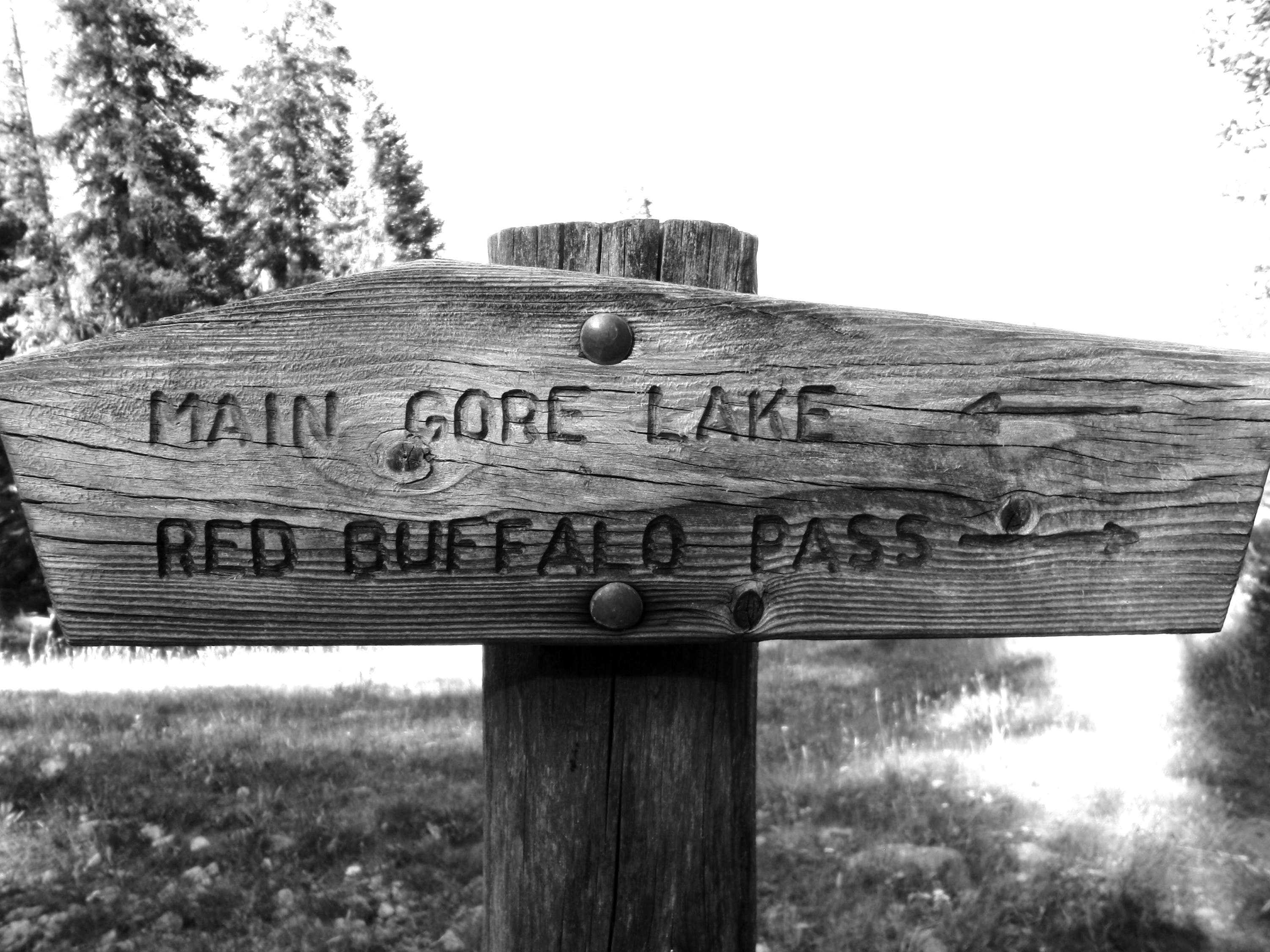
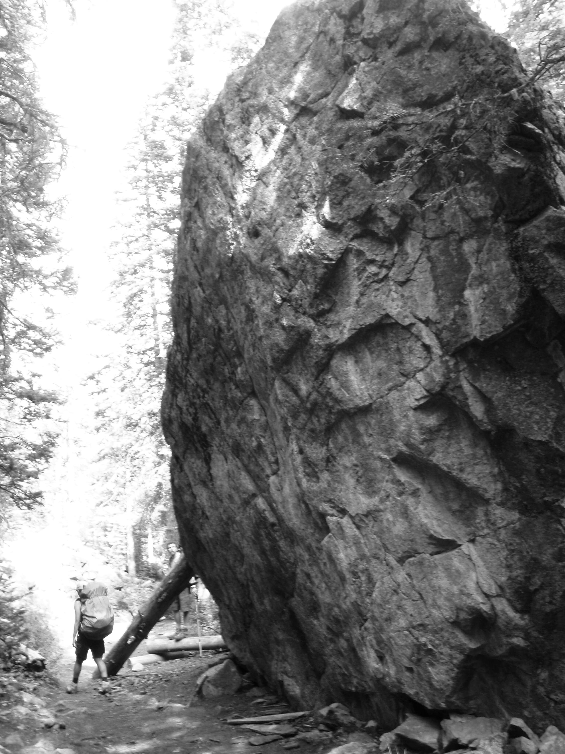
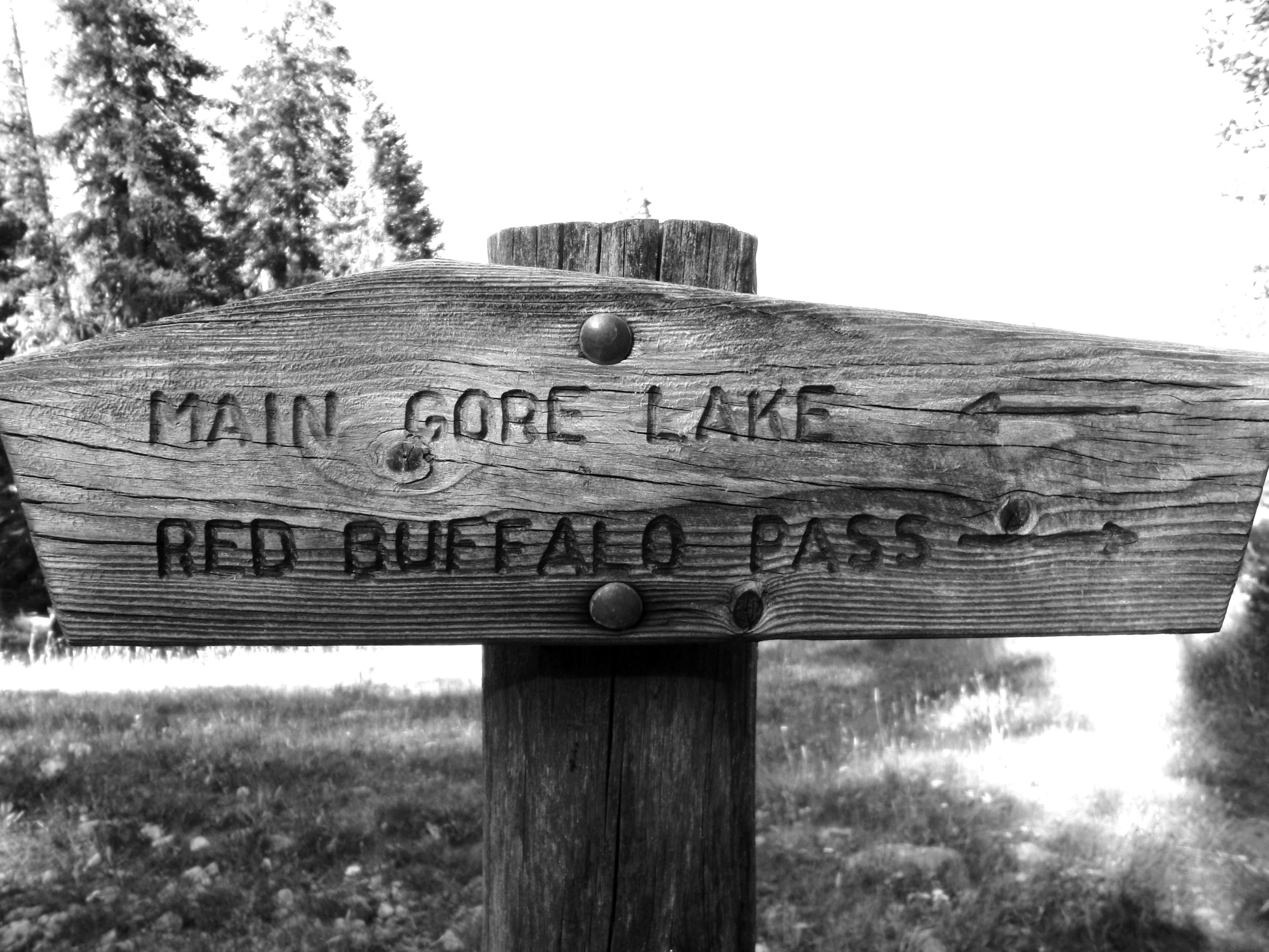
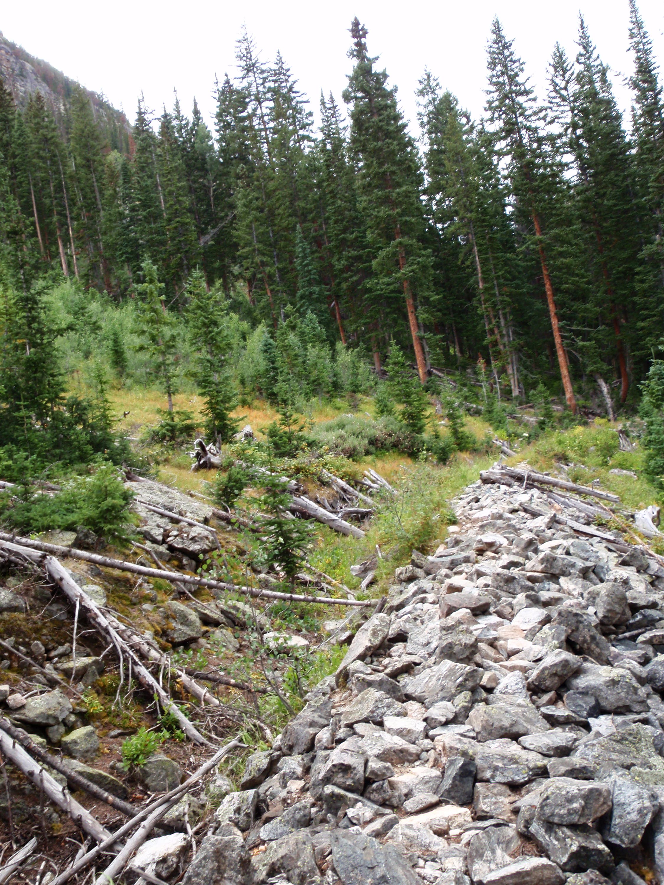
Trail Facts
- Distance: 20.0
Waypoints
RBP001
Location: 39.627796, -106.275076
Drop a car off at the Buffalo Cabin Trailhead in Silverthorne, then drive to the Gore Creek Trailhead in Vail. Follow the Gore Creek Trail to the northeast.
RBP002
Location: 39.628539, -106.273294
Bear right at Y-junction. The Deluge Lake Trail veers left.
RBP003
Location: 39.629581, -106.261858
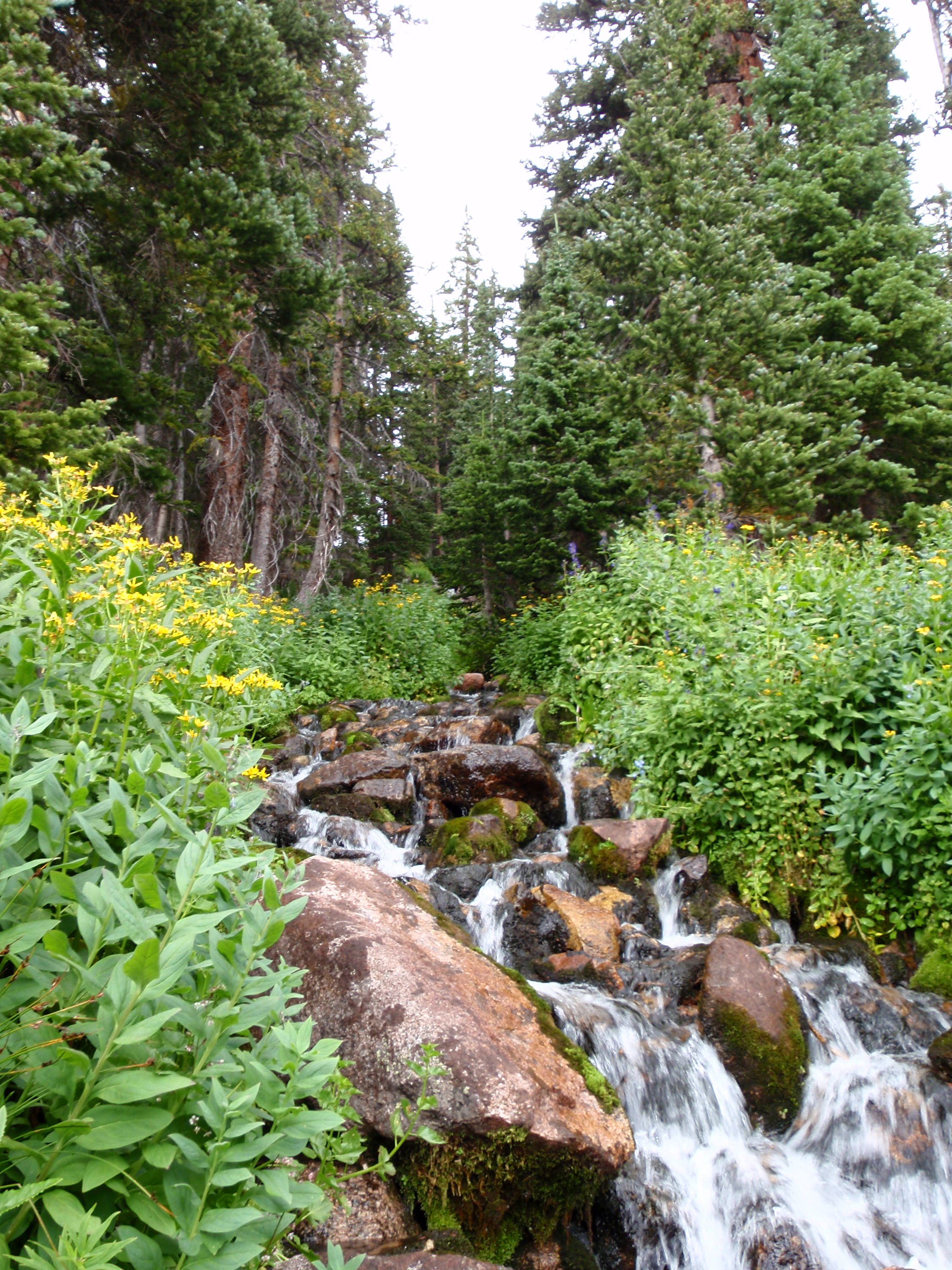
The trail travels near Gore Creek (look for a series of cascades ahead).
RBP004
Location: 39.630044, -106.258553
The trail curves to the south and enters conifer forest.
RBP005
Location: 39.629052, -106.25637
Good campsite by river.
RBP006
Location: 39.629008, -106.24793
Pass raspberry bushes along the trail.
RBP007
Location: 39.628945, -106.246741
Cross a narrow, split log bridge.
RBP008
Location: 39.626565, -106.225026
High bushes flank both sides of the trail.
RBP009
Location: 39.625243, -106.220155
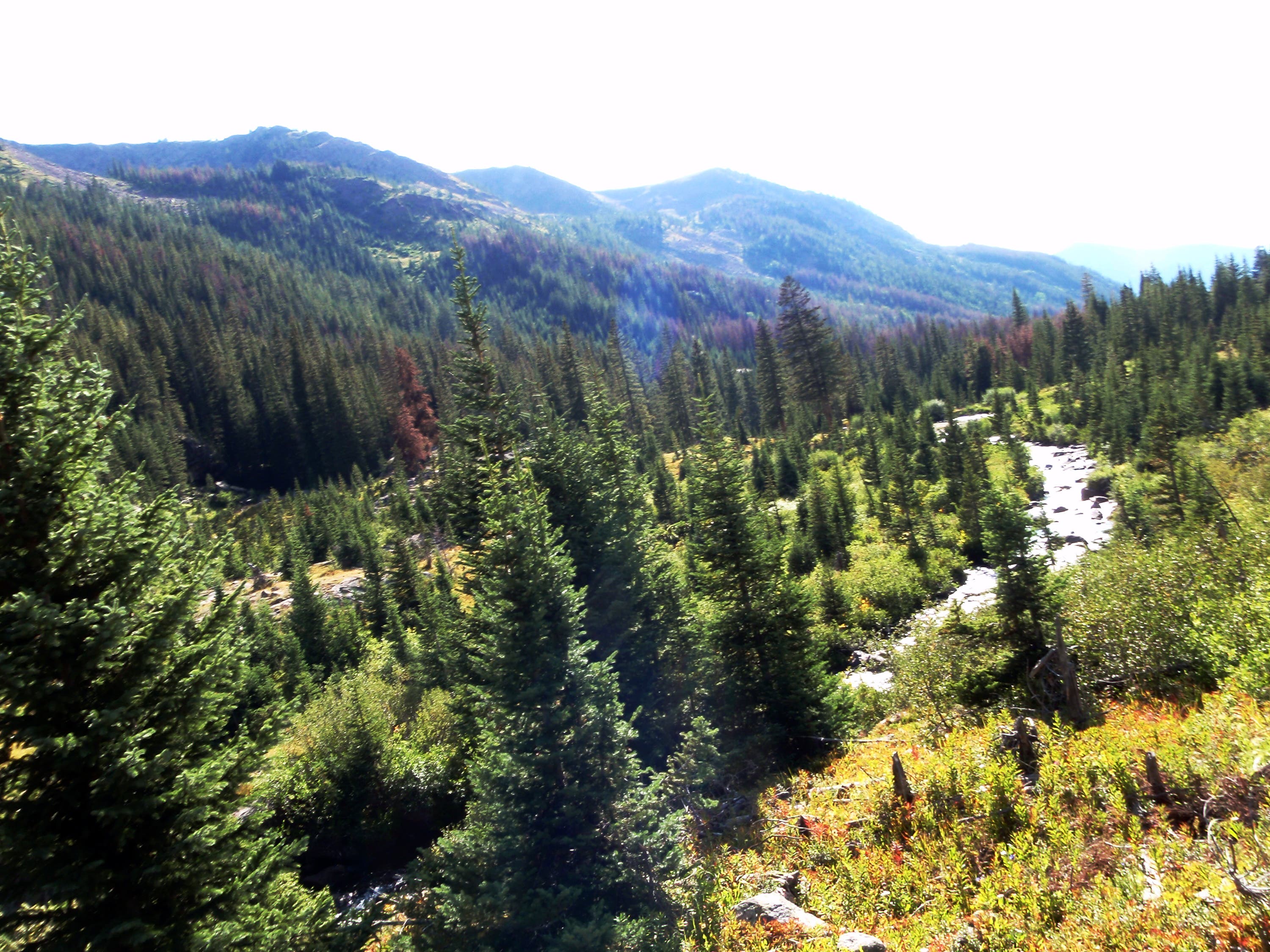
Look west for views of Gore Creek and the wooded valley.
RBP010
Location: 39.625111, -106.20477
Bear right at Y-junction and cross Gore Creek on a log jam. Side trip: Turn left to visit the graves of Andrew and Daniel Recen.
RBP011
Location: 39.625202, -106.204909
A worn log marks the graves of Andrew and Daniel Recen.
RBP012
Location: 39.625546, -106.193856
This sprawling meadow is a prime location for a campsite.
RBP013
Location: 39.621417, -106.188655
The trail skirts an expansive meadow on the left.
RBP014
Location: 39.620111, -106.186112
Pass a potential campsite in the trees.
RBP015
Location: 39.617594, -106.183807
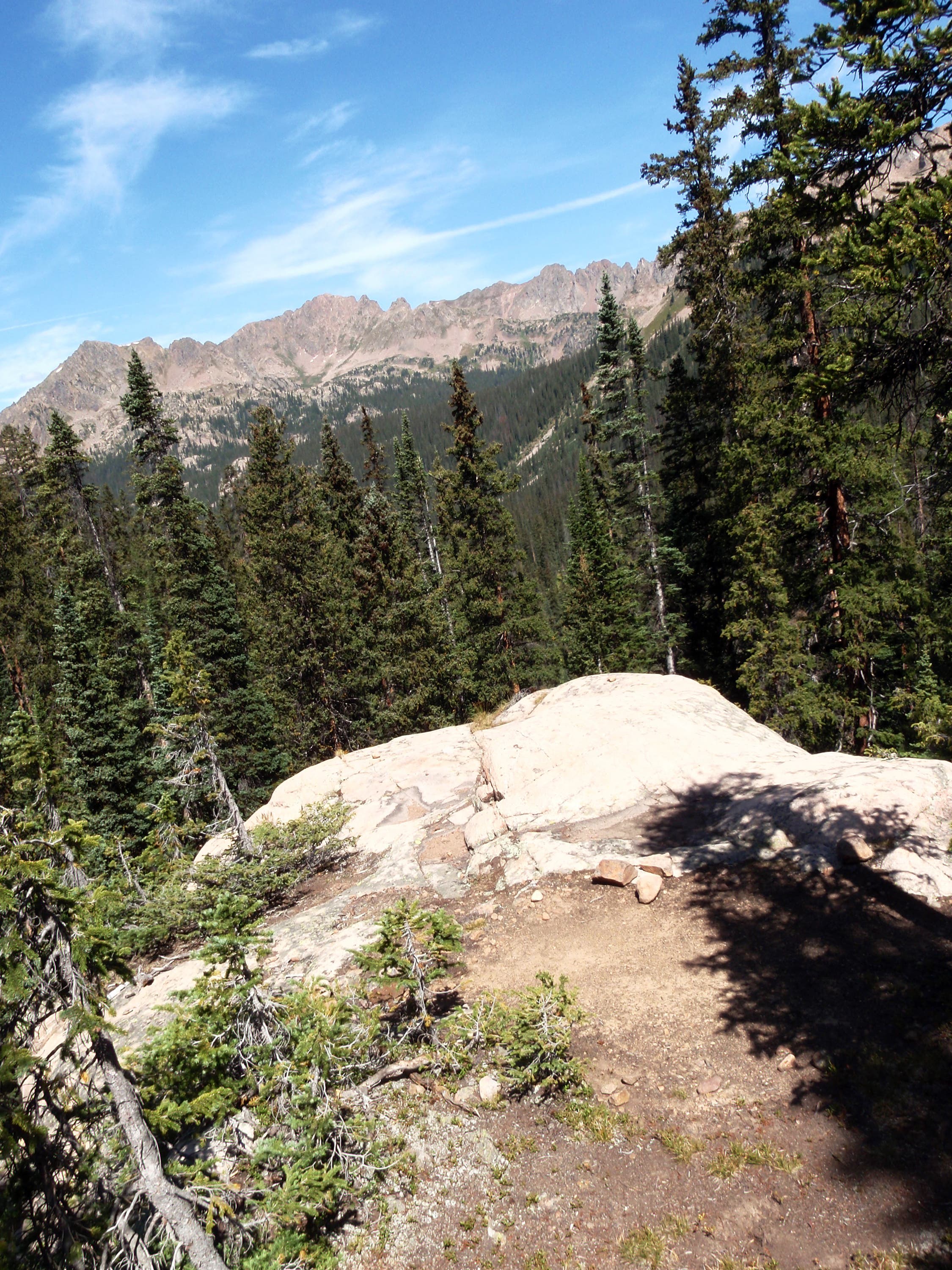
This massive boulder offers sweet views to the west.
RBP016
Location: 39.621728, -106.176399
Red Buffalo Pass: This grassy pass overlooks the Gore Creek drainage and the South Willow Creek drainage. Next, drop down the east side of the pass.
RBP017
Location: 39.618813, -106.174101
Bear left off the trail, heading east.
RBP018
Location: 39.619472, -106.170646
Pick up the trail and hike north.
RBP019
Location: 39.623326, -106.168785
Cross a cascading creek.
RBP020
Location: 39.628418, -106.152488
Cross a bridge.
RBP021
Location: 39.630177, -106.136137
Stay straight at 3-way junction.
RBP022
Location: 39.631555, -106.135024
Pass through aspen groves.
RBP023
Location: 39.63244, -106.130902
Continue straight, heading east.
RBP024
Location: 39.632432, -106.127543
Turn right at 3-way junction.
RBP025
Location: 39.631366, -106.126792
Cross 3 bridges in the next 200 feet.
RBP026
Location: 39.627631, -106.12778
An old ditch parallels the trail.
RBP027
Location: 39.627358, -106.123198
Tackle a final steep stretch that climbs through the trees.
RBP028
Location: 39.625374, -106.121808
At the top of the climb, the trail crosses a boulder field.
RBP029
Location: 39.623534, -106.119251
Continue straight at 4-way.
RBP030
Location: 39.620193, -106.109937
The route ends at Buffalo Cabin Trail. Pick up your shuttle car at the parking pull-out and drive back to the Gore Creek Trailhead.
RBP031
Location: 39.619732, -106.110238
Park your shuttle car in the parking pull-out on the side of the road.
View of the Gore Range
Location: 39.626467, -106.22395
Gore Creek Trailhead
Location: 39.627807, -106.275038
Eastern Views on Gore Creek Trail
Location: 39.629145, -106.268
Views East on Gore Creek Trail
Location: 39.629987, -106.253964
Log Bridge
Location: 39.628961, -106.246462
Gore Range
Location: 39.626467, -106.22395
Gore Creek Trail
Location: 39.625467, -106.221485
Views West on Gore Creek Trail
Location: 39.625268, -106.219854
Quiet Forest
Location: 39.624437, -106.20903
The Recen Graves
Location: 39.625259, -106.204619
The Recen Graves
Location: 39.625226, -106.204791
Meadow
Location: 39.624921, -106.205349
Rocky Outcrop
Location: 39.624978, -106.20522
Trail Junction
Location: 39.625102, -106.20463
Meadows
Location: 39.62554, -106.193751
Campsite
Location: 39.625416, -106.193612
Campsite
Location: 39.625309, -106.193579
Meadow below Red Buffalo Pass
Location: 39.620153, -106.186684
Gore Creek
Location: 39.620153, -106.186684
View from Rock Outcrop
Location: 39.617582, -106.183698
Gore Range
Location: 39.61745, -106.181445
Views near Red Buffalo Pass
Location: 39.622375, -106.178323
Climb to Red Buffalo Pass
Location: 39.622251, -106.178269
Views near Red Buffalo Pass
Location: 39.622144, -106.178205
Red Peak
Location: 39.621794, -106.176519
South Willow Creek Drainage
Location: 39.621794, -106.176519
Descent into South Willow Creek Drainage
Location: 39.622605, -106.175694
Gore Range Trail
Location: 39.623053, -106.169257
Gore Range Trail
Location: 39.622896, -106.169525
Creek Crossing
Location: 39.623367, -106.168689
Buffalo Mountain
Location: 39.62385, -106.16503
Buffalo Mountain
Location: 39.628501, -106.151378
Trail Junction
Location: 39.630181, -106.136055
Giant Boulder
Location: 39.631845, -106.133572
Trail Junction
Location: 39.632424, -106.127425
Ditch
Location: 39.627639, -106.127662