Tuscon, AZ: Hannah Hot Spring

Soak in a backcountry hot spring. Our mapper says you’ll regret spending anything less than three nights.
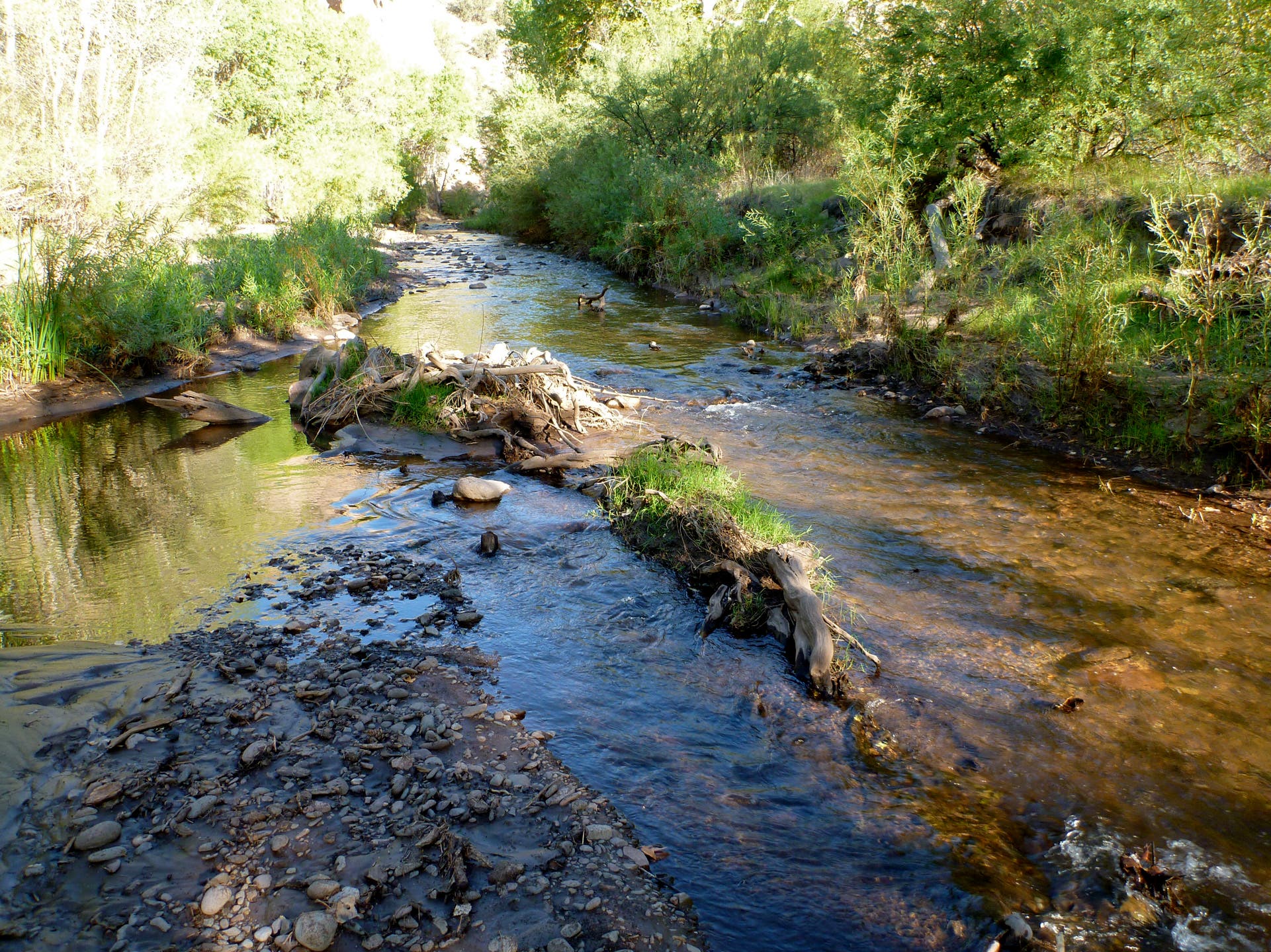
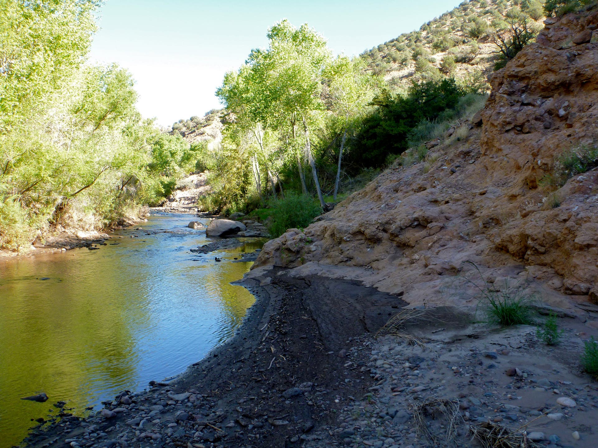
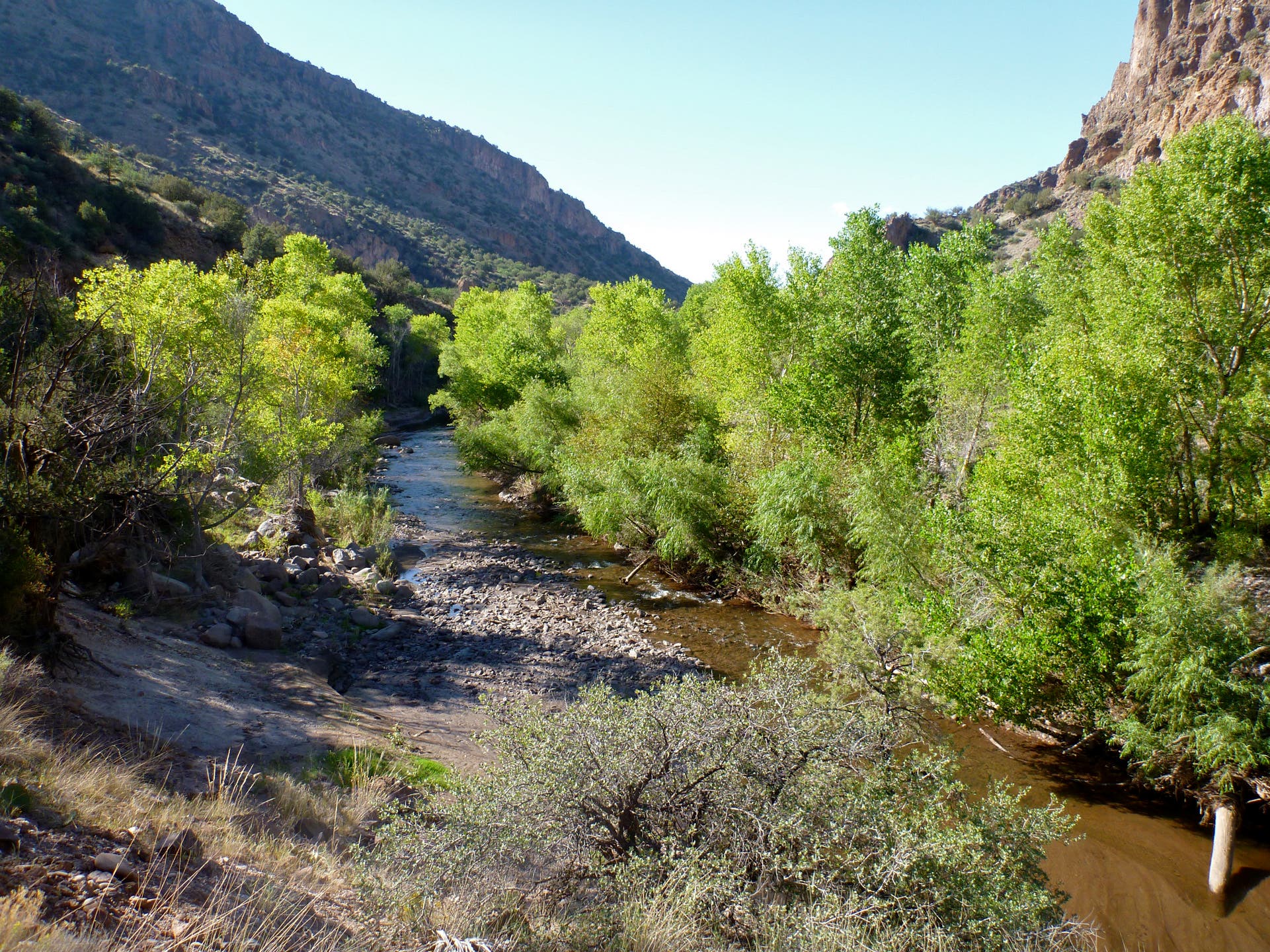
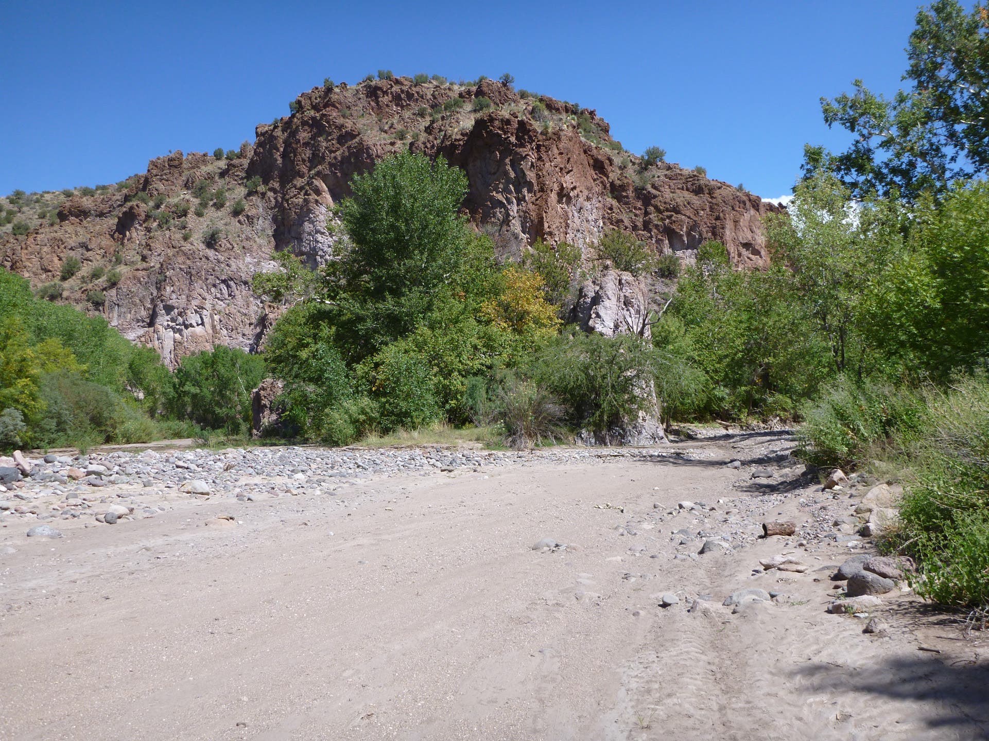
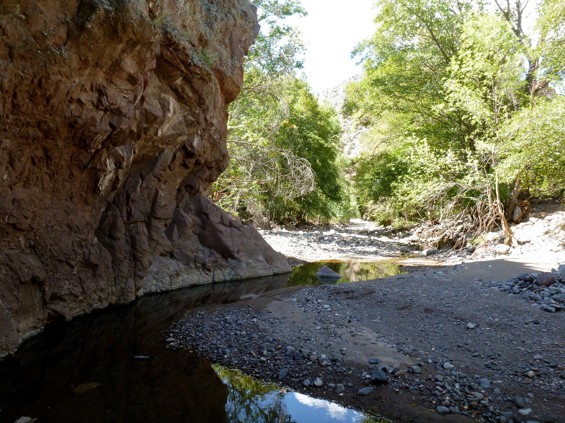
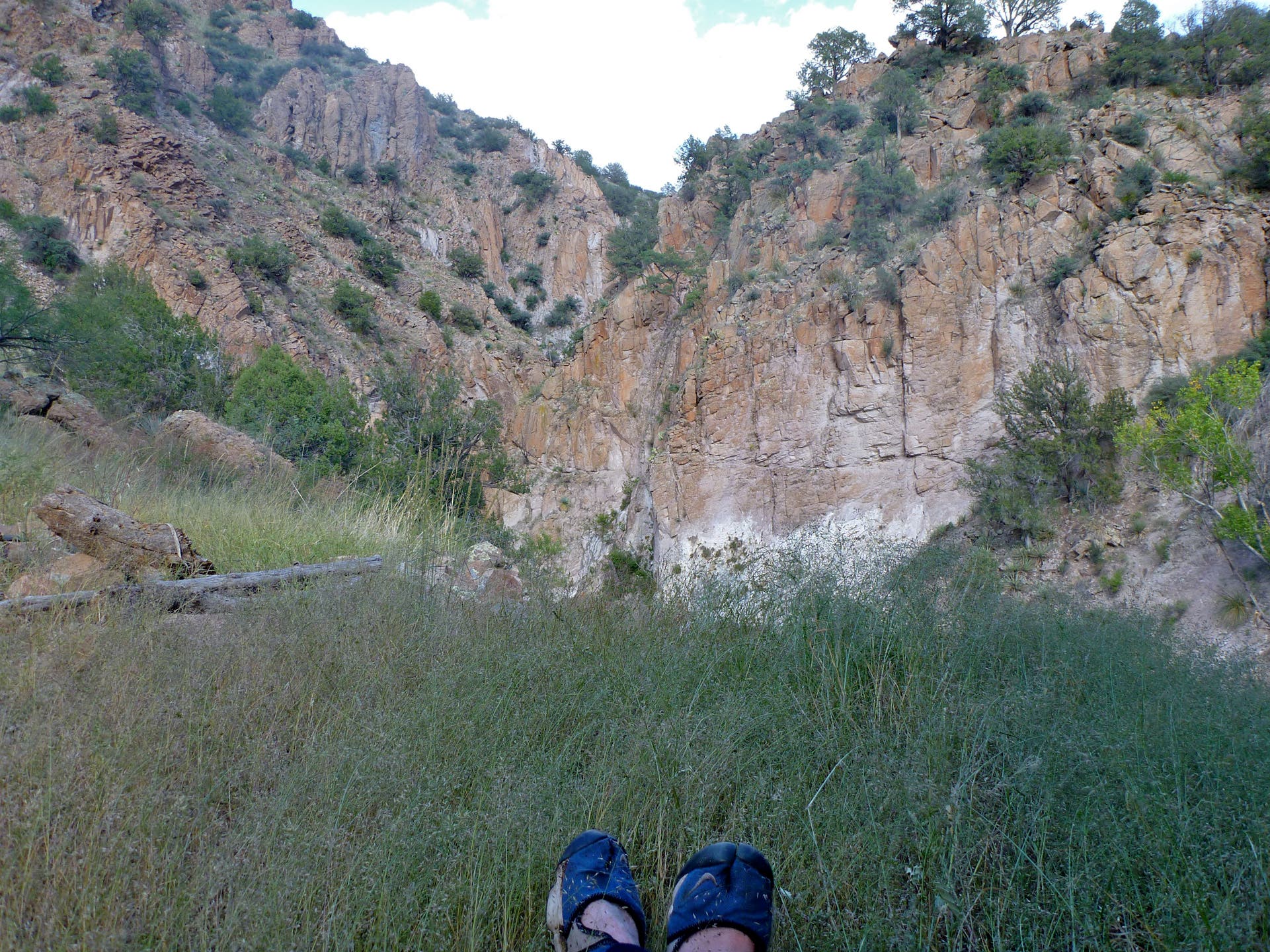
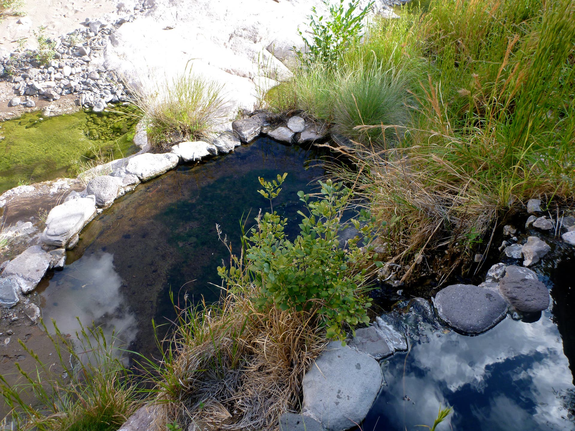
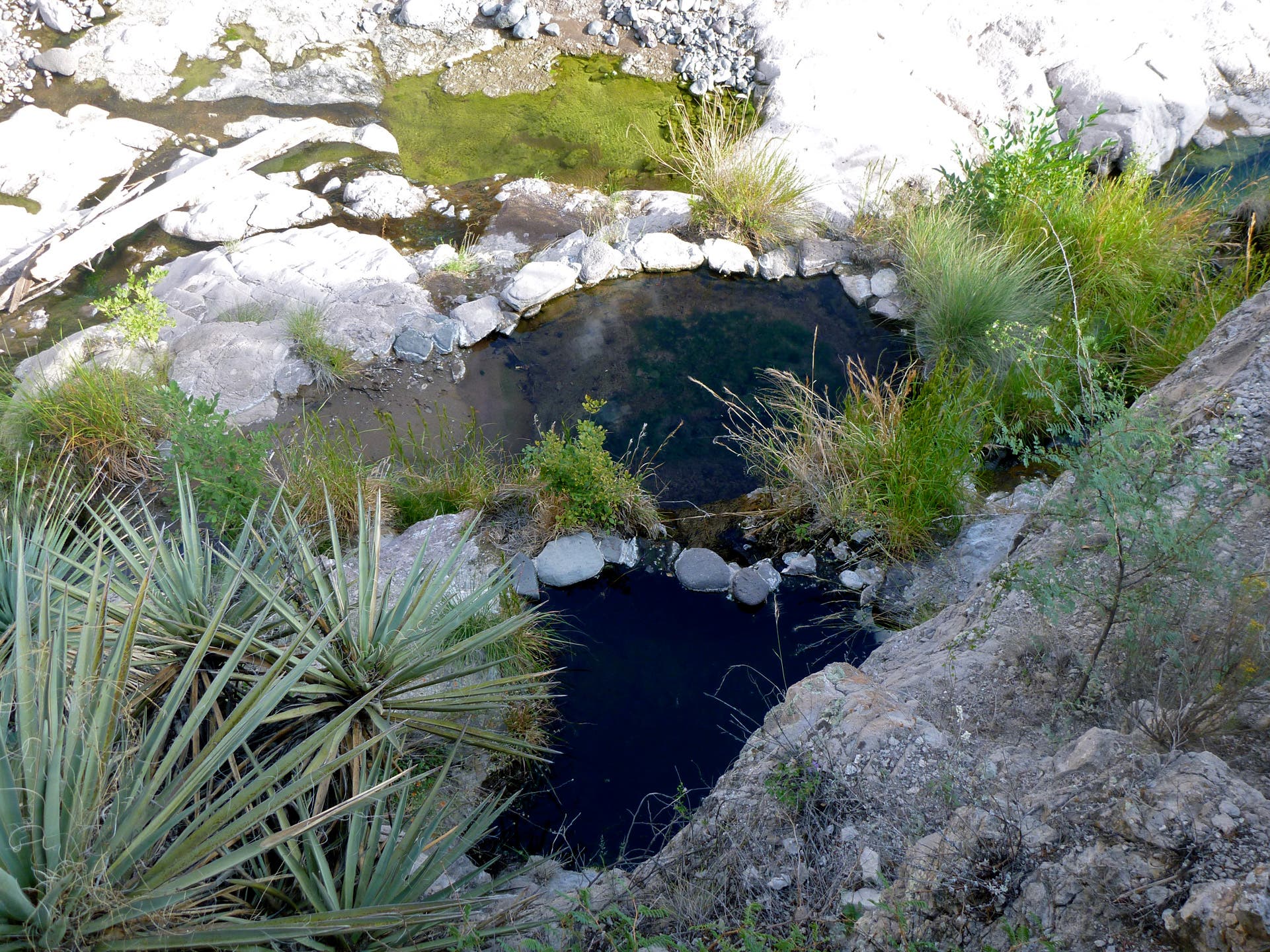
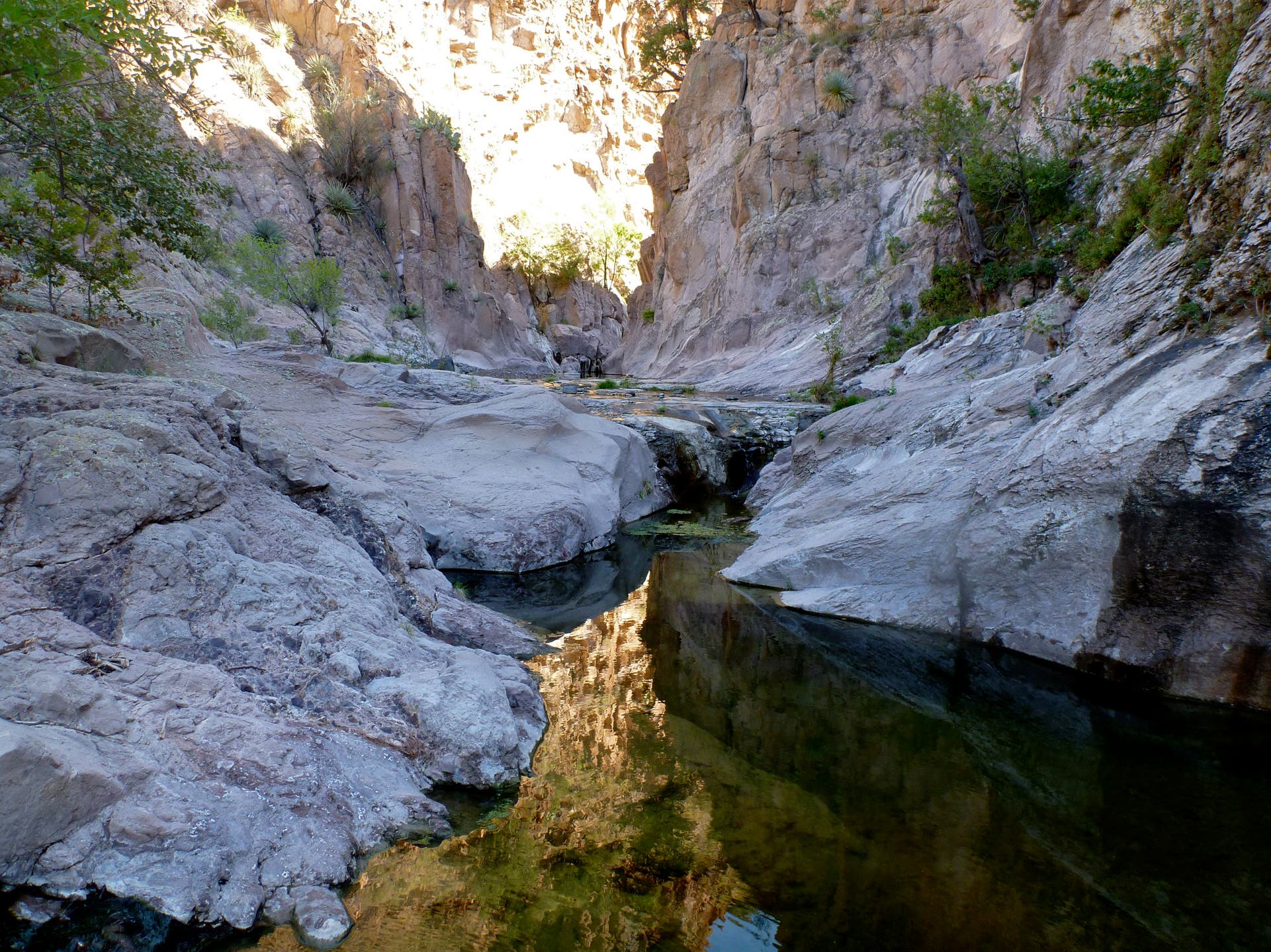
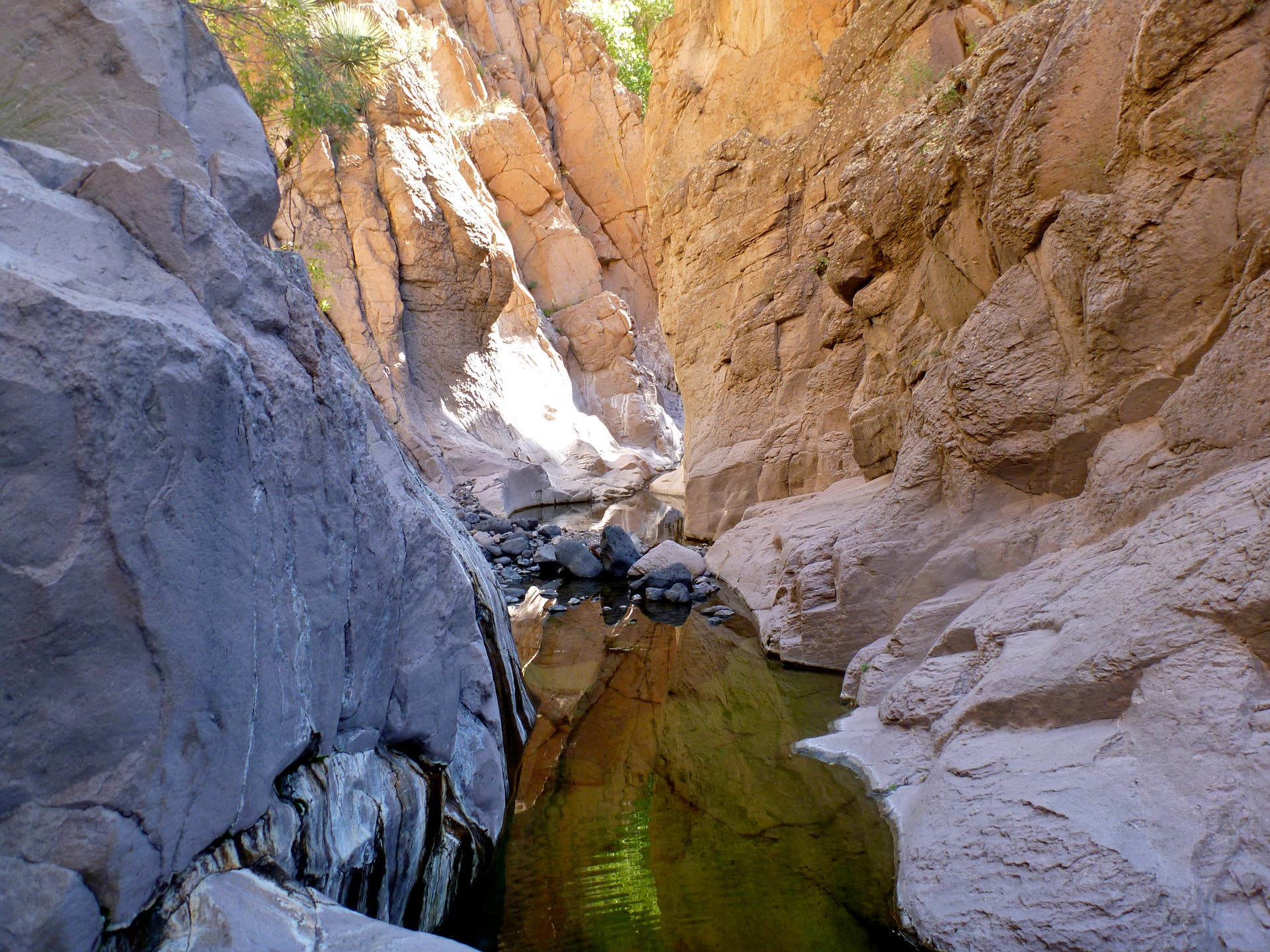
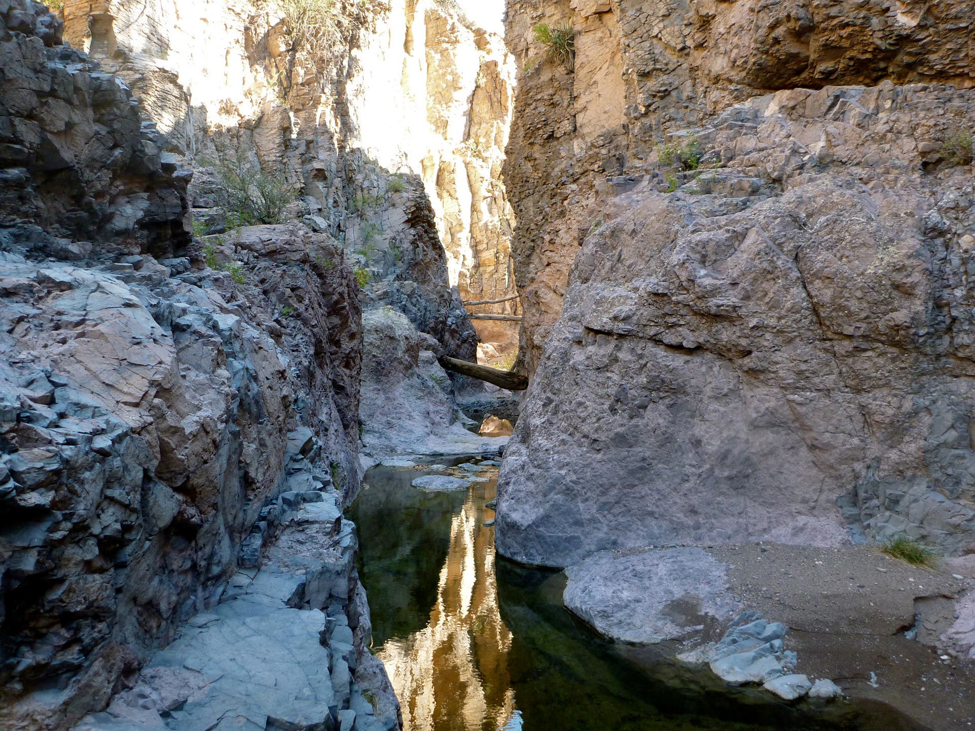
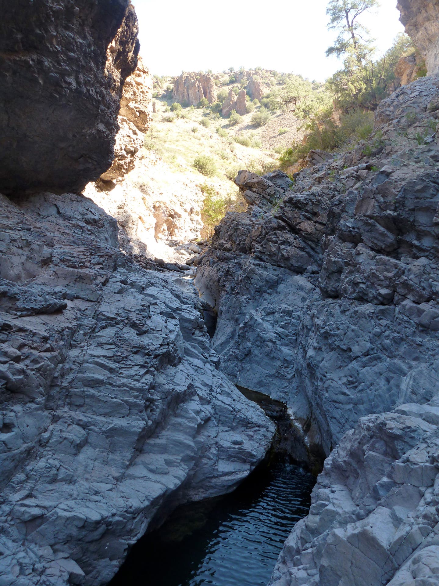
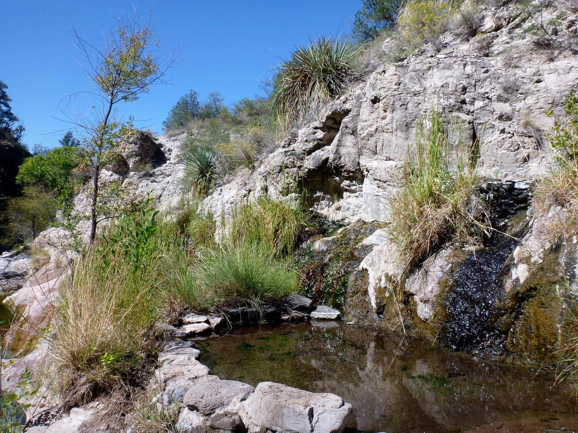
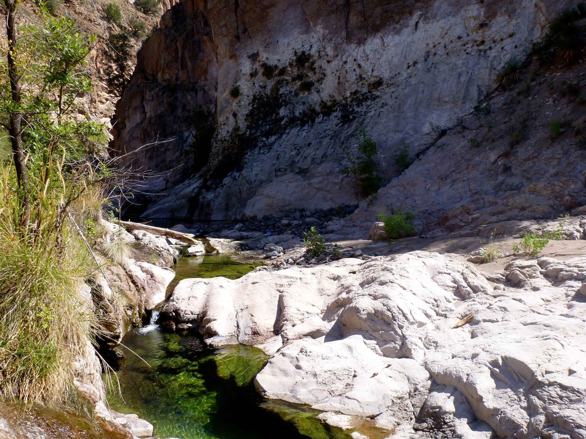
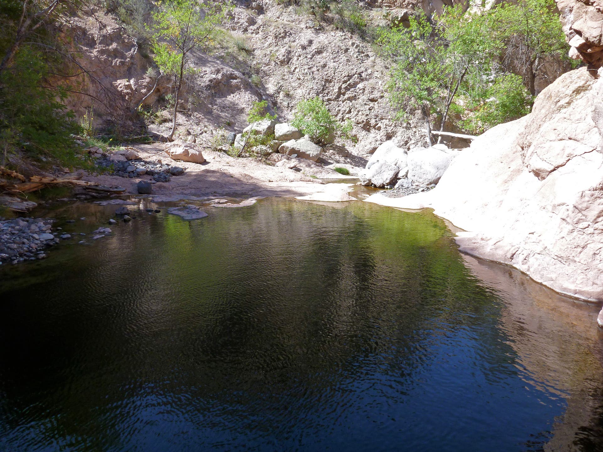
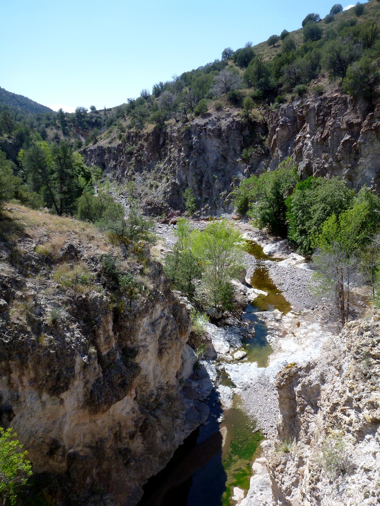
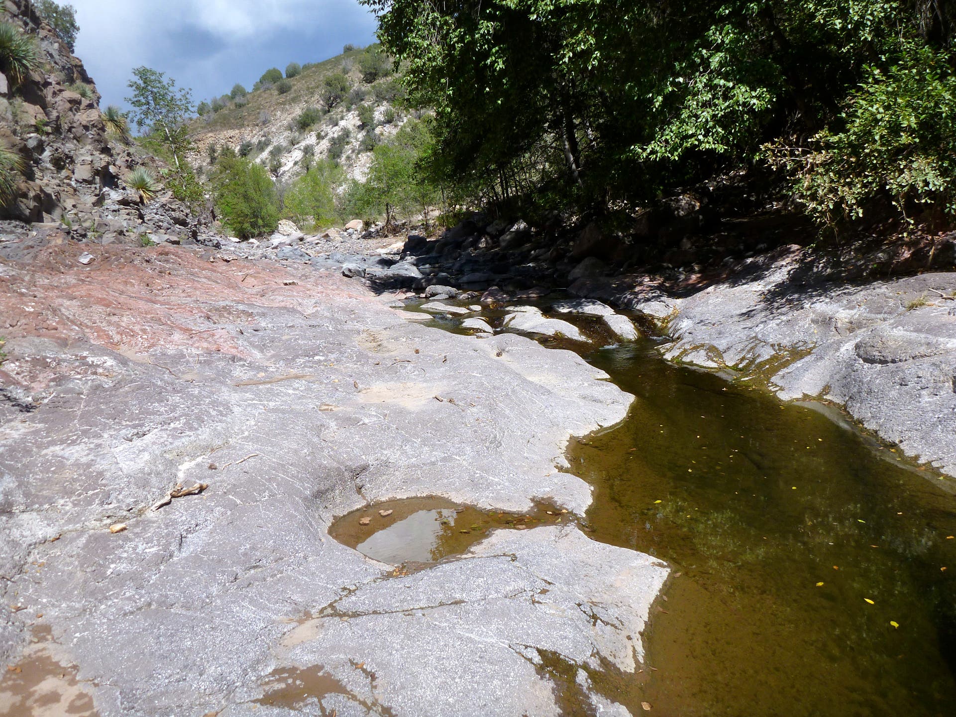
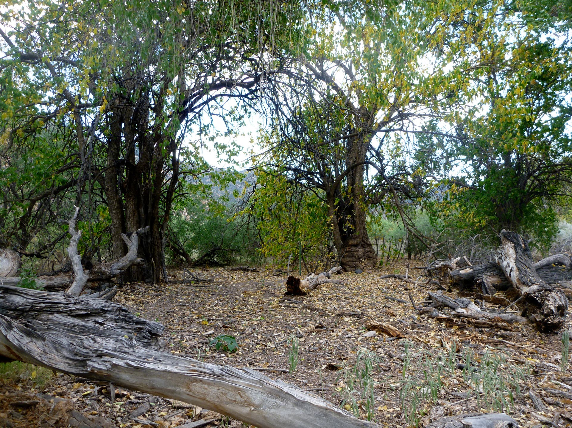
From the trailhead, head up the wide Blue River canyon, occasionally crossing the stream (up to thigh- high in spring). Be ready to backtrack: User paths often dead-end. In 4.2 miles, turn right (east) up Little Blue Creek, then turn right up Hannah Springs Creek in 2.3 miles. Brave several waist-deep wades on your way to the hot spring’s 18-inch-deep stone-and-mortar catch basins, .3 mile up the slot.
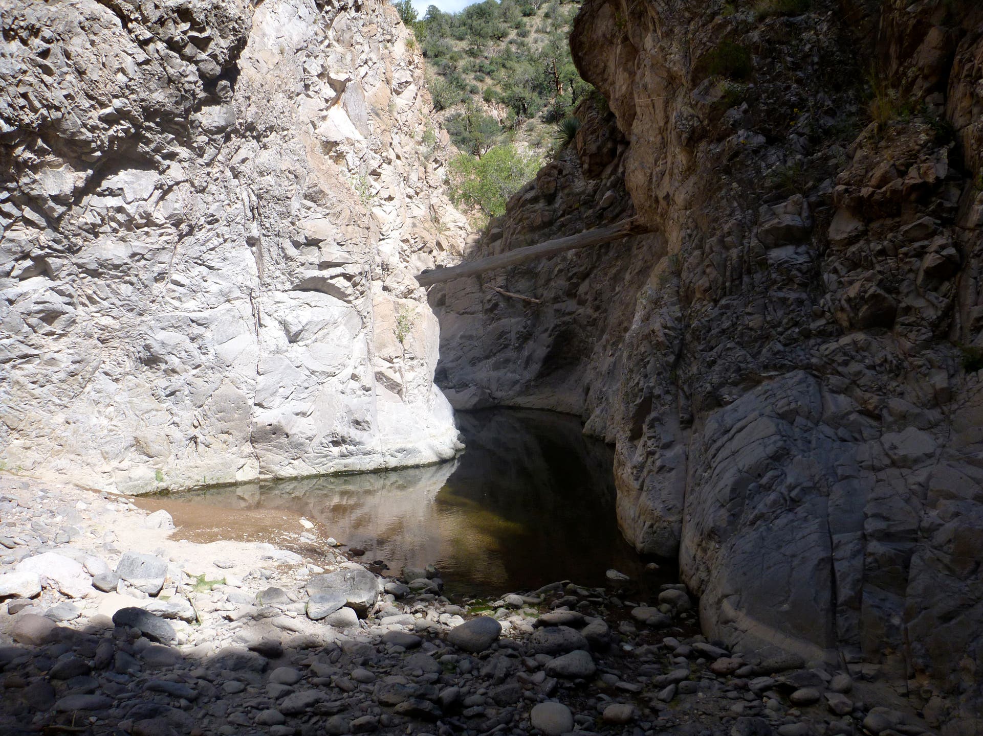
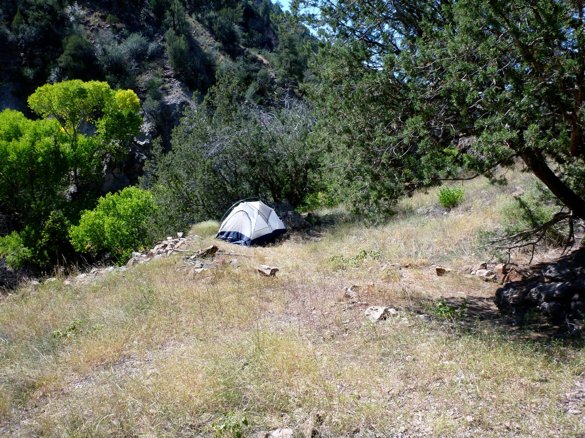
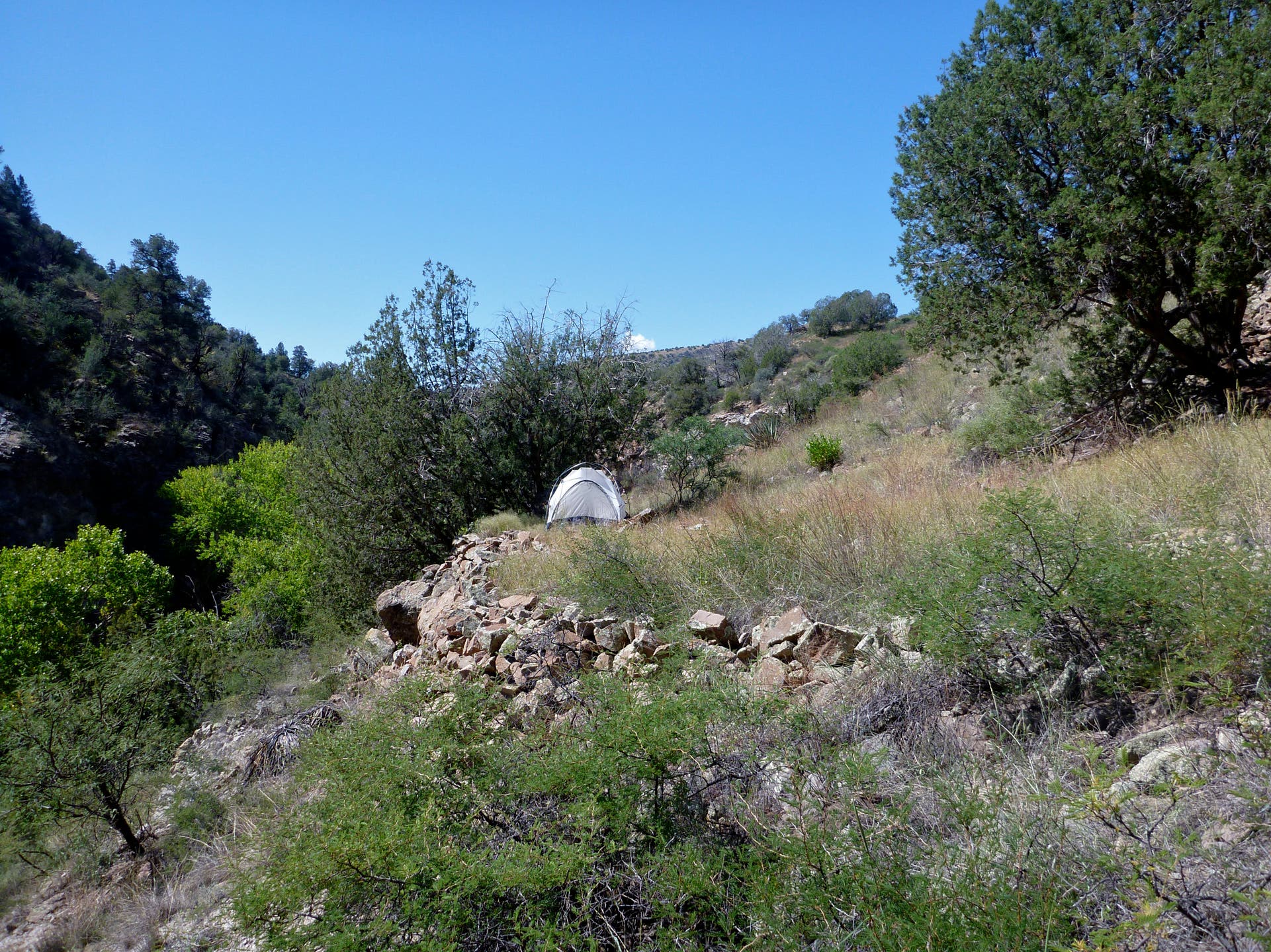
Camp on a leveled site above the springs, then soak and dayhike up Hannah Springs Creek and Little Blue Creek, both featuring narrow slots with wades.
Contact fs.usda.gov/asnf
-Mapped by Travis Lesicka
Trail Facts
- Distance: 13.4
Waypoints
P1010039.jpg
Location: 33.324009, -109.189057
P1010043.jpg
Location: 33.325824, -109.189395
P1010045.jpg
Location: 33.328936, -109.187794
P1010051.jpg
Location: 33.330558, -109.187524
P1010052.jpg
Location: 33.34014, -109.18349
P1010061.jpg
Location: 33.366333, -109.179542
P1010062.jpg
Location: 33.366333, -109.179539
P1010063.jpg
Location: 33.366778, -109.179758
P1010064.jpg
Location: 33.366778, -109.179758
P1010066.jpg
Location: 33.369048, -109.1783
P1010067.jpg
Location: 33.375521, -109.174506
P1010083.jpg
Location: 33.399662, -109.156825
P1010086.jpg
Location: 33.399937, -109.15411
P1010089.jpg
Location: 33.40012, -109.153687
P1010091.jpg
Location: 33.400153, -109.153197
P1010092.jpg
Location: 33.400153, -109.153197
P1010094.jpg
Location: 33.400031, -109.153364
P1010095.jpg
Location: 33.400031, -109.153364
P1010108.jpg
Location: 33.400031, -109.153364
P1010112.jpg
Location: 33.400031, -109.153364
P1010117.jpg
Location: 33.409683, -109.170172
P1010118.jpg
Location: 33.409683, -109.170172
P1010119.jpg
Location: 33.409683, -109.170172
P1010120.jpg
Location: 33.409683, -109.170172
P1010121.jpg
Location: 33.40968, -109.170172
P1010129.jpg
Location: 33.398379, -109.155422
P1010163.jpg
Location: 33.398632, -109.156675
P1010164.jpg
Location: 33.397018, -109.157322
P1010170.jpg
Location: 33.365992, -109.179621
P1010177.jpg
Location: 33.365367, -109.179473
P1010181.jpg
Location: 33.344302, -109.185703
P1010184.jpg
Location: 33.324617, -109.188928
HHS001
Location: 33.324068, -109.188958
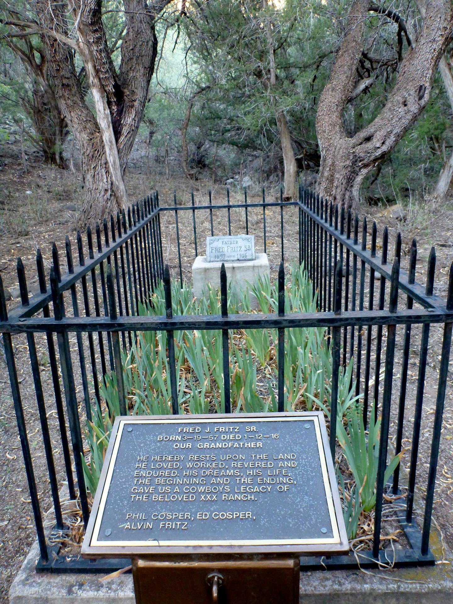
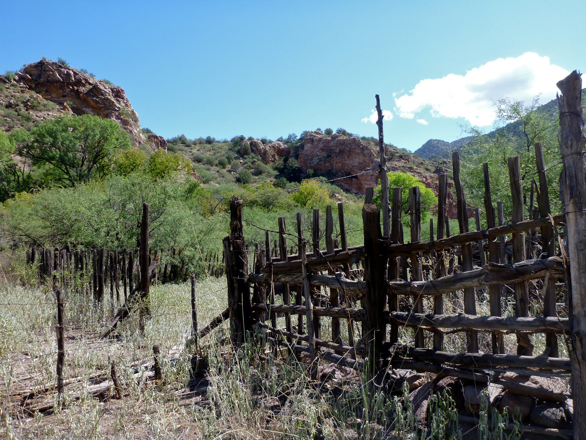
Begin from the parking area near the XXX/Fitz Ranch.
HHS002
Location: 33.32579, -109.189535
Cross the stream (up to thigh-high in spring) whenever necessary. The route changes constantly due to flooding and shifting water levels.
HHS003
Location: 33.334315, -109.184771
To avoid crossing the stream, you may want to clamber up across rocky benches at times.
HHS004
Location: 33.365983, -109.179664
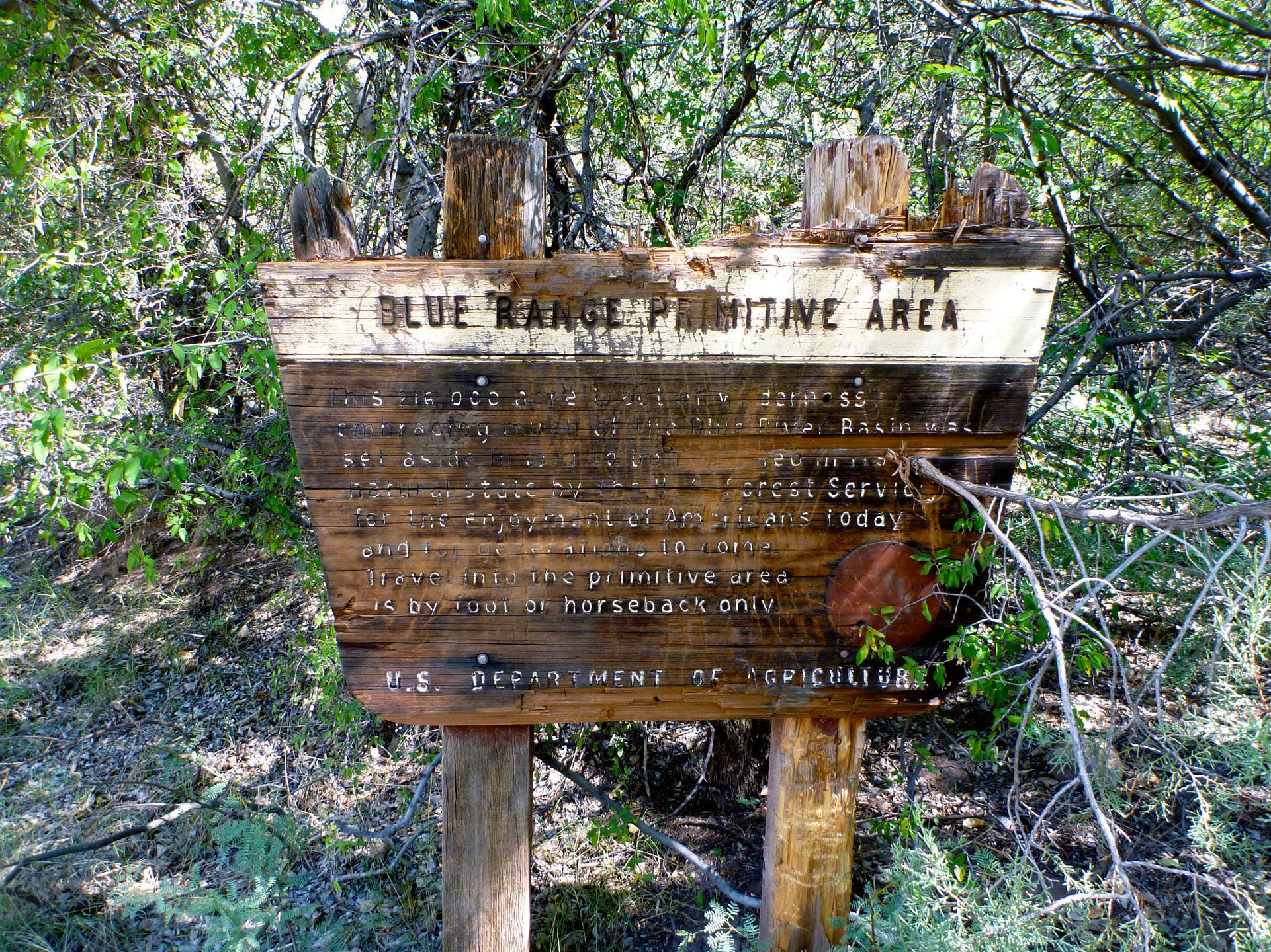
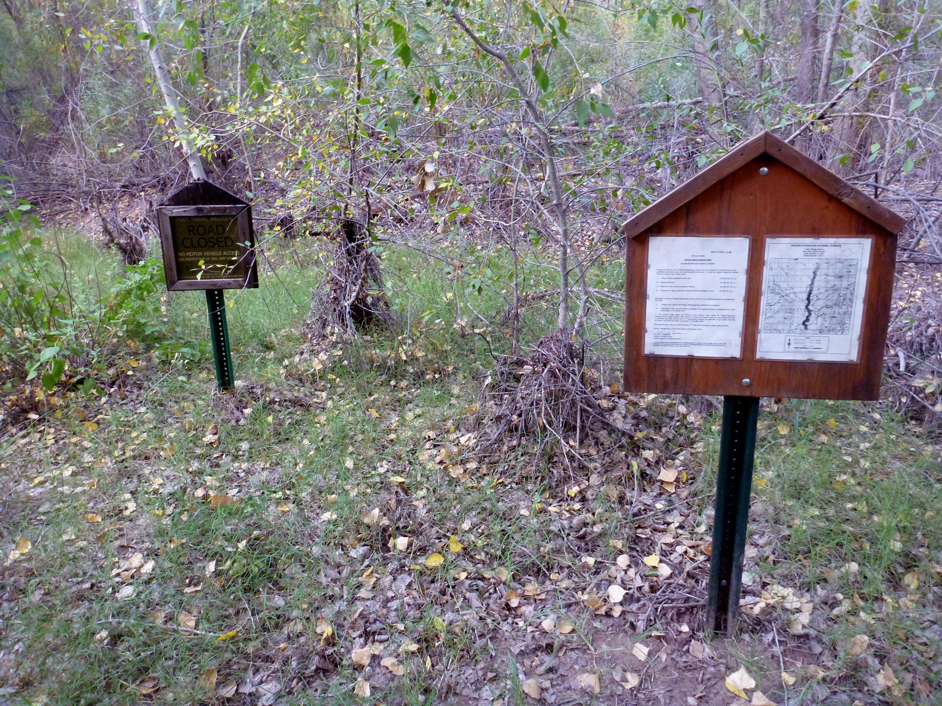
Enter the Blue Range Primitive Area.
HHS005
Location: 33.374642, -109.176657
Turn right (northeast) up Little Blue Creek. This is a nice spot for a lunch break or to set up camp.
HHS006
Location: 33.377452, -109.169676
Hobo Canyon enters on the right (south). Keep heading up Little Blue Creek as the canyon turns north.
HHS007
Location: 33.398059, -109.156956
Turn right (east) up Hannah Springs Creek. Expect waist-deep wades over the next .3 mile.
HHS008
Location: 33.400112, -109.153698
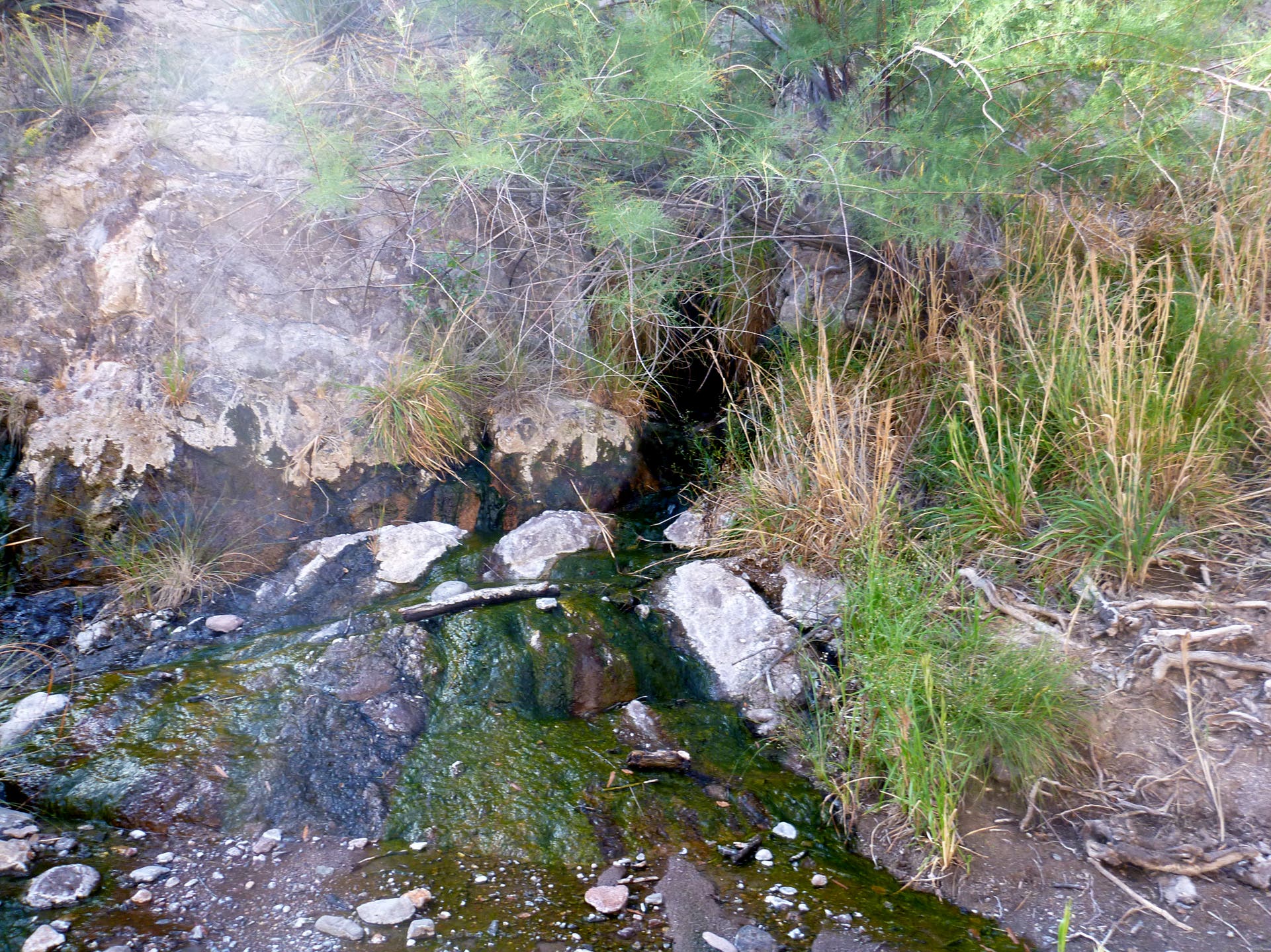
There are two stone-and-mortar catch basins at the hot spring. One is about 18″ deep, the other 12″. The spring is 133 degrees F at the source, but cooler in the pools. Soak away!
HHS009
Location: 33.400024, -109.15385
Camp on a leveled site above the springs, then soak and dayhike up Hannah Springs Creek and Little Blue Creek, both featuring narrow slots with wades.
HHS010
Location: 33.403467, -109.159207
The Little Blue Box, a stretch of narrows with a mandatory swim. Beyond here, the creek gets very bouldery with lots of cobbles. Expect slow-going.
HHS0011
Location: 33.413352, -109.153202
The 1940s-era White Rocks Cabin is really a corrugated metal hut. It was used by ranchers who used to herd cattle in these canyons.
HHS0012
Location: 33.414286, -109.152344
Ash Creek. Fewer narrows up here, just a nice canyon to explore.
HHS013
Location: 33.414892, -109.153718
The west fork here leads to Dutch Blue Creek and the Dutch Blue narrows, a deep slot where you don’t see daylight. There’s very cold water you have to either boulder around or wade through.