Tucson, AZ: San Pedro House

Start at San Pedro House off Highway 90 between Sierra Vista and Bisbee for this memorable hike along the San Pedro River in southern Arizona. From this trail, hikers seeking more challenge can access the rest of the BLM trail system in the San Pedro Riparian National Conservation Area, including Miller Backcountry Camp, about 3 miles from this route, and the Hereford Bridge.
Before heading out, pick up a copy of “Guided Walk Along the River and Map of San Pedro House Trails” from the metal box in front of the house, which serves as a visitor center. (There’s a donation box, and the visitor center sells books and other items, using the proceeds to assist with maintenance of the area.)
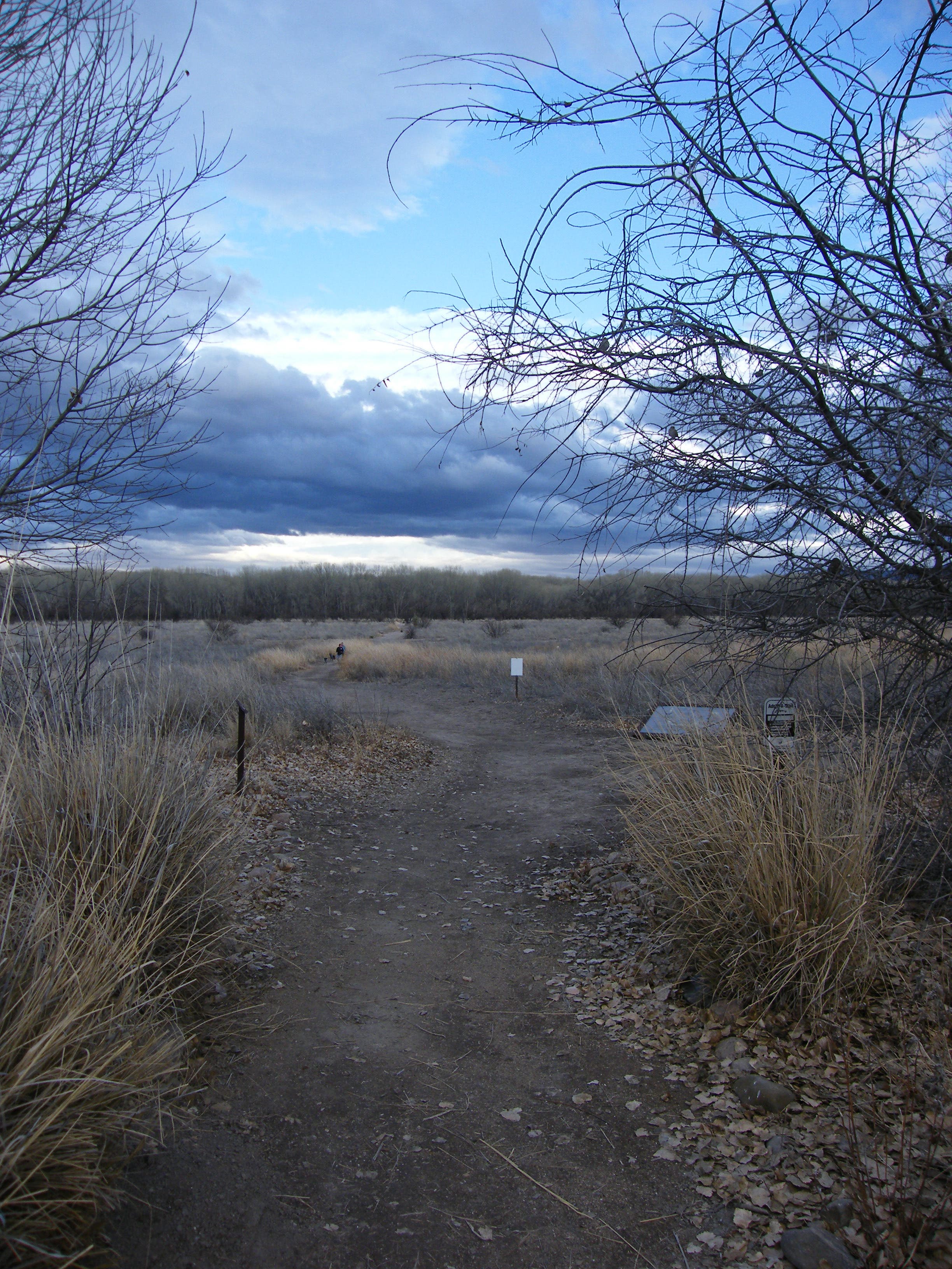
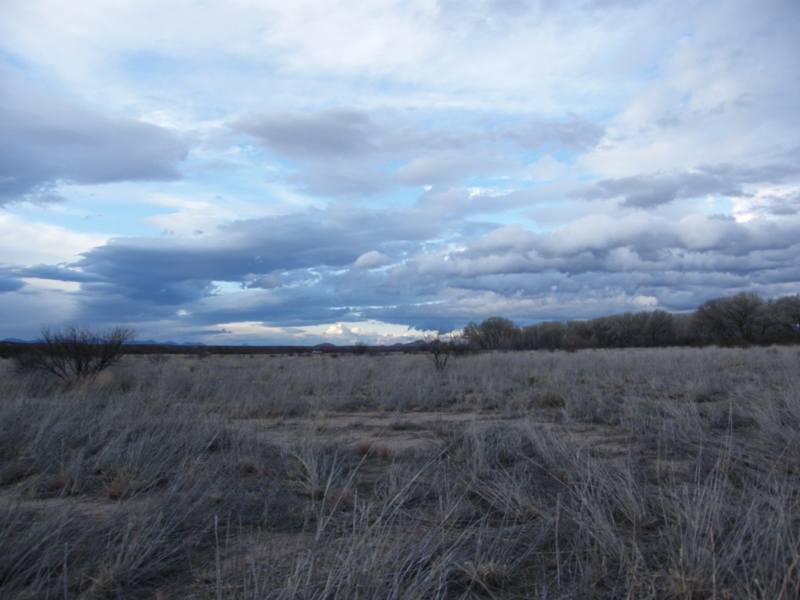
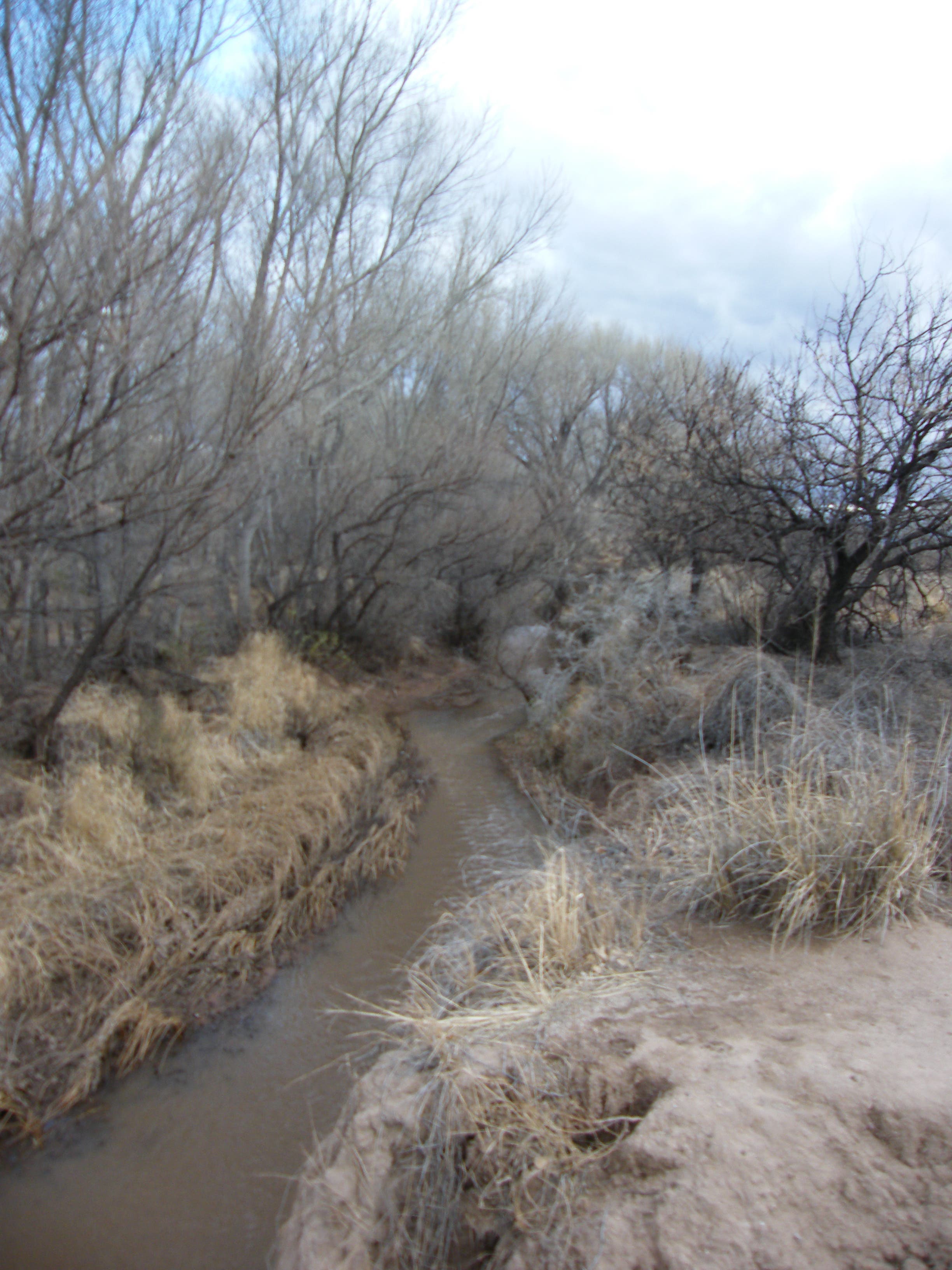
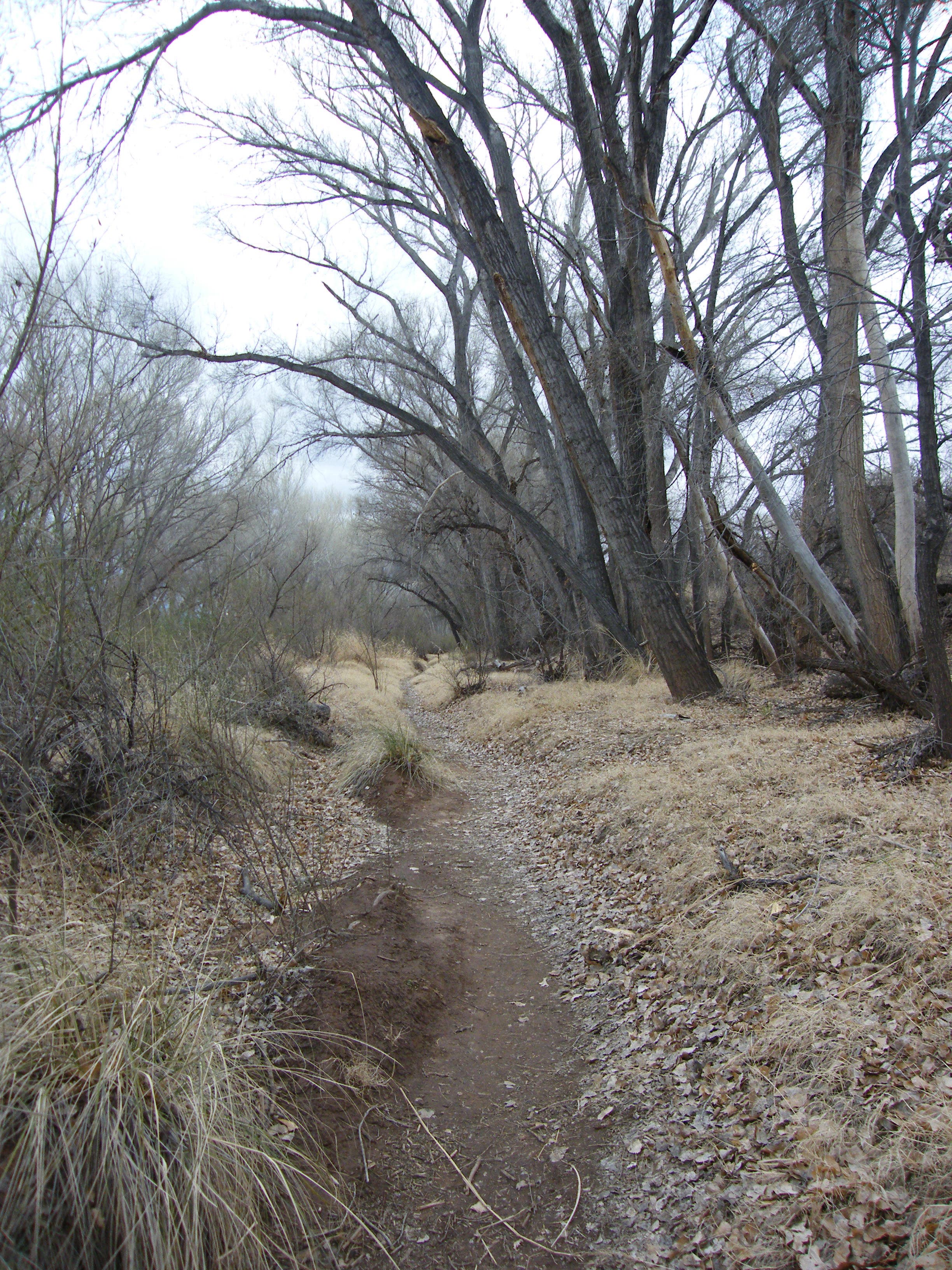
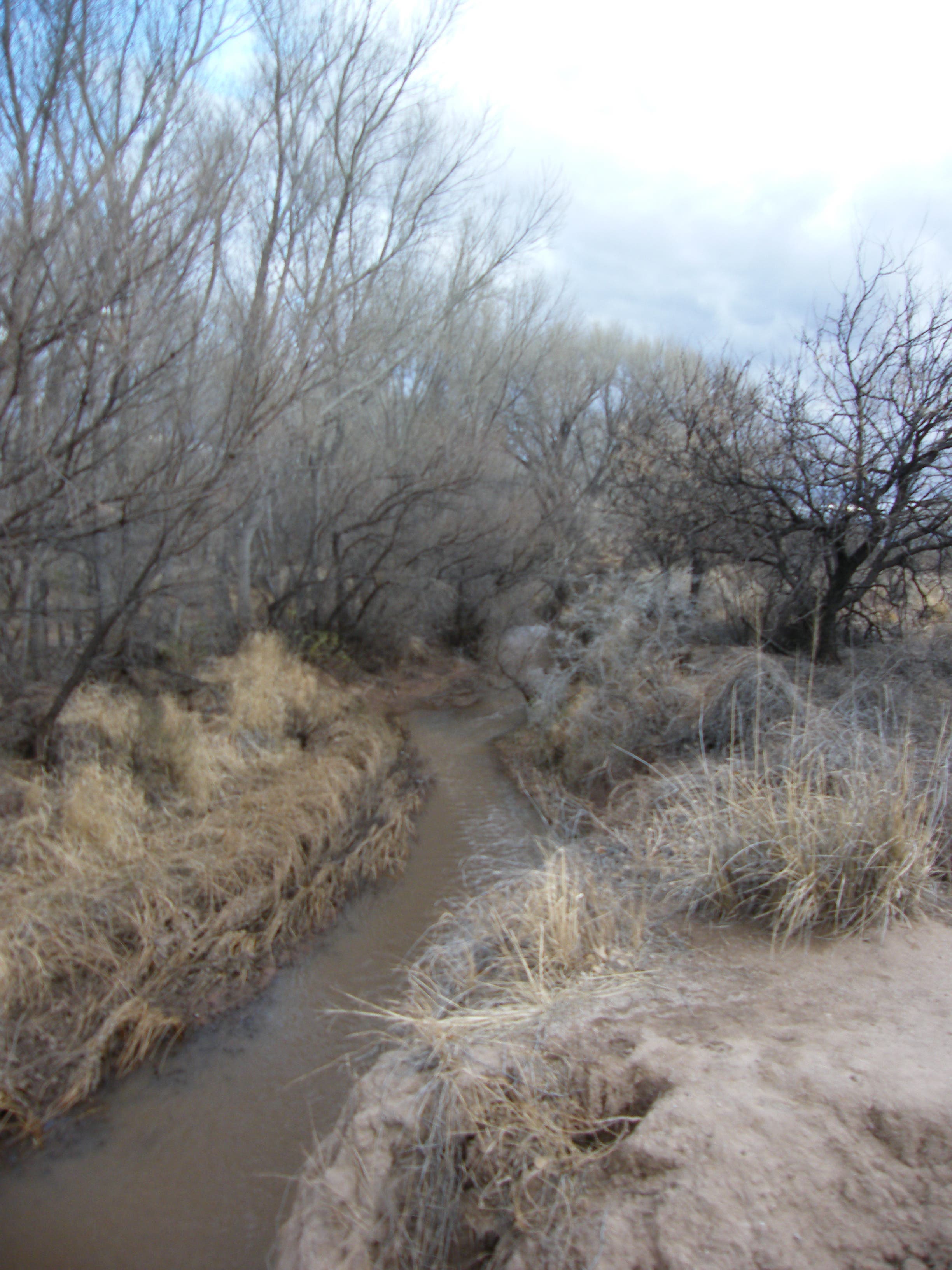
Follow the trail across the large, open meadow, where you may see a hawk returning to its roost in a large tree by the house. At the river, turn right and follow the trail along a small bluff above the river. At Point 5 on the map, the trail goes down the bank closer to the river – a small yet critical stream. At Point 8, you may take a detour past Green Kingfisher Pond, an old sand and gravel quarry with an abandoned beaver lodge at the west edge. If you skip the detour, the trail heads into tall trees alive with the sound of birds. The tall Sacaton grass that lines the dirt trail once grew as high as the backs of horses on which early Spanish explorers rode to the river.
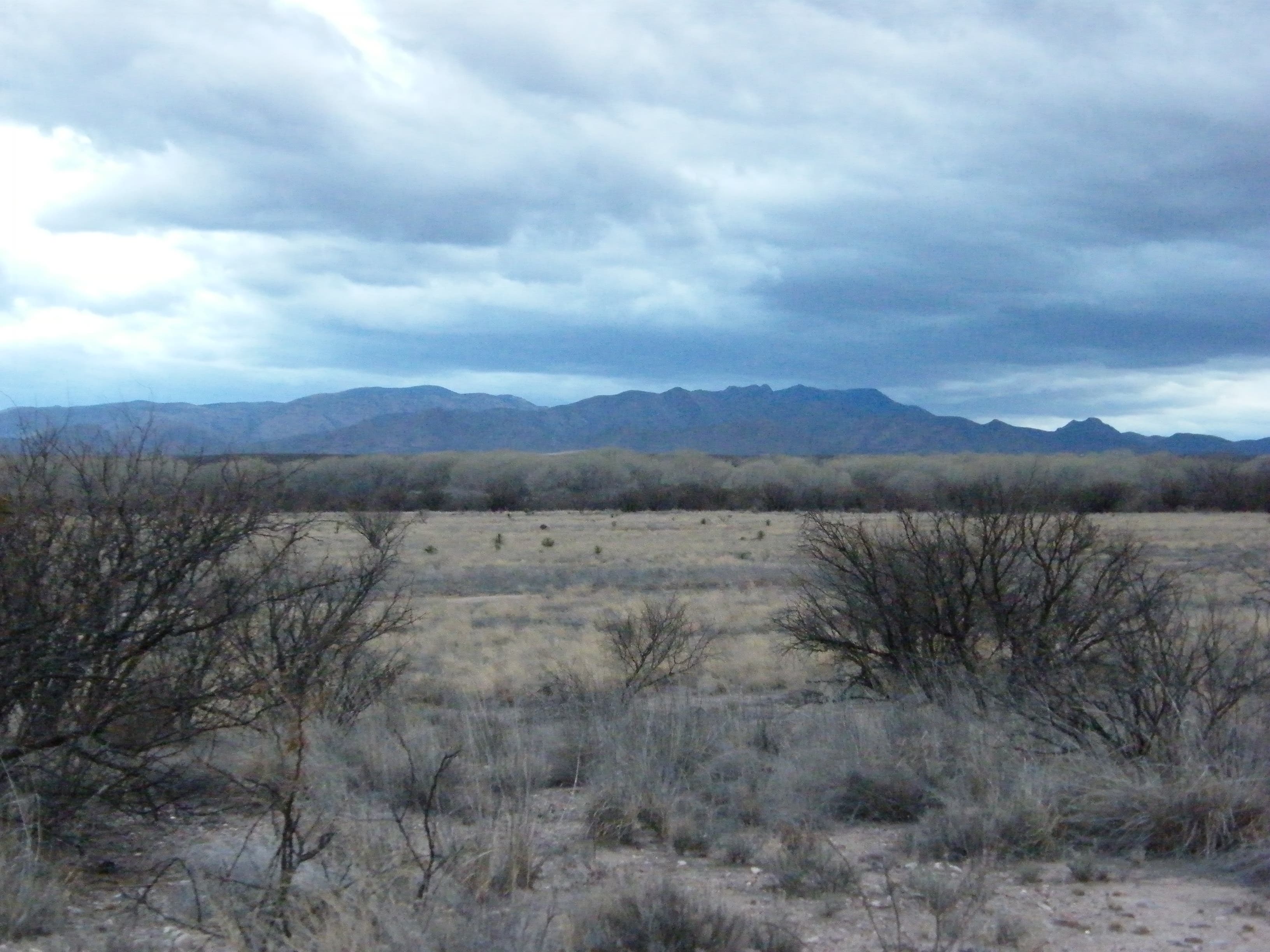
In another three-tenths of a mile, the trail curves away from the river and heads across the far side of the meadow that you crossed at the beginning. A dry wash runs along the left side of the trail. In about a half mile, the trail turns right, back toward San Pedro House. To the left, the trail continues to a backcountry camping area, trail access at Hereford Bridge, and Casa de San Pedro bed and breakfast – and beyond that, all the way to the Mexican border. The San Pedro River flows out of higher elevations in Mexico.
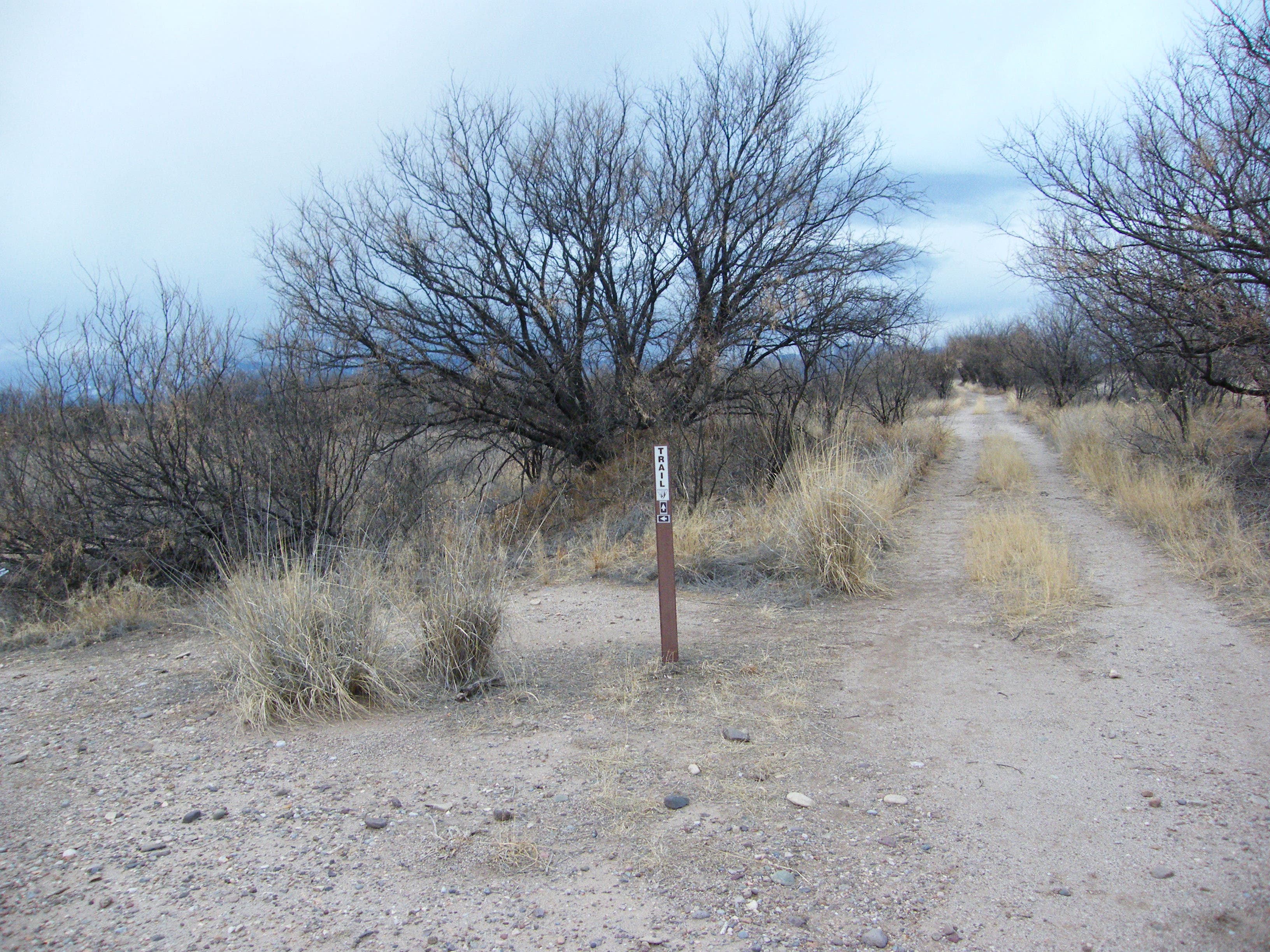
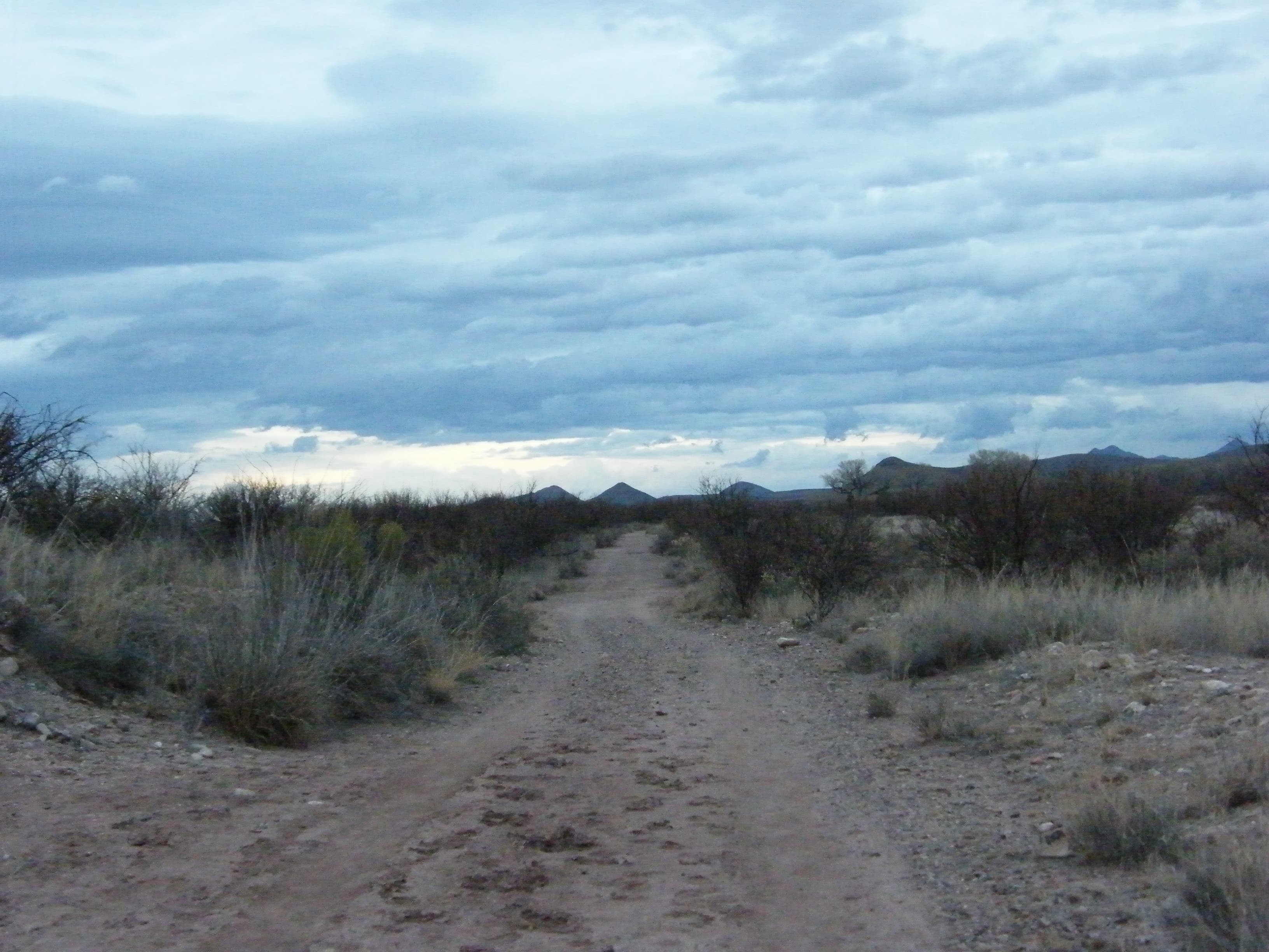
On this side of the loop, the trail traces the old San Rafael del Valle road bed. Follow it another half mile or so to an intersection. You can go either way here to return to the house, although the left fork eventually ends up at highway 90 if you’re not careful. As you near the house, there is another intersection; this route veers left to pass an old water tower and a very large cottonwood, 80 years old and more than 36 feet tall. Continue past the tree to the parking area and back to your car, or follow the trail under the tree to the front of the house.
Numerous feeders around the house attract a plethora of birds year-round. There are 24-hour restrooms at the edge of the parking lot.
-Mapped by Melissa Gaskill
Trail Facts
- Distance: 3.5
Waypoints
SPH001
Location: 31.548192, -110.141464
The hike begins at the San Pedro House. Hike east.
SPH002
Location: 31.548629, -110.137687
Turn right to follow trail south along river.
SPH003
Location: 31.547806, -110.136861
Bear left at the Y-junction (Point 5 in the Guided Walk brochure).
SPH004
Location: 31.544841, -110.134115
Bear left at the trail fork (Point 8 in the brochure).
SPH005
Location: 31.540816, -110.13213
Trail curves away from the river.
SPH006
Location: 31.539781, -110.133813
Trail intersection: Stay left, heading west.
SPH007
Location: 31.539389, -110.135794
Pass a detour to Phoebe Pond on the left.
SPH008
Location: 31.538904, -110.141222
Turn right at the intersection with the trail to Miller Backcountry Camp.
SPH009
Location: 31.54531, -110.143307
Trail intersection: Either way leads back to San Pedro House.
SPH010
Location: 31.54739, -110.142134
Keep to the left past a huge tree to reach the parking area, bear right to return to the house.
View from the trailhead
Location: 31.548203, -110.141402
Open Field
Location: 31.54845, -110.139779
San Pedro River
Location: 31.547627, -110.136271
Path under tall trees
Location: 31.546439, -110.135225
San Pedro River
Location: 31.543659, -110.132983
Trail Markers
Location: 31.539403, -110.135681
Trail and mountains in the distance
Location: 31.541044, -110.141593
Old San Rafael del Valle road bed
Location: 31.541904, -110.141775