Published February 18, 2021 11:55AM
Coppermine Trail, White Mountain National Forest, NH
Find seasonal solitude close to home on this ideal backpack for winter beginners in New Hampshire's White Mountains.
Coopermine Trail, NH (Photo: Kristen Richard)
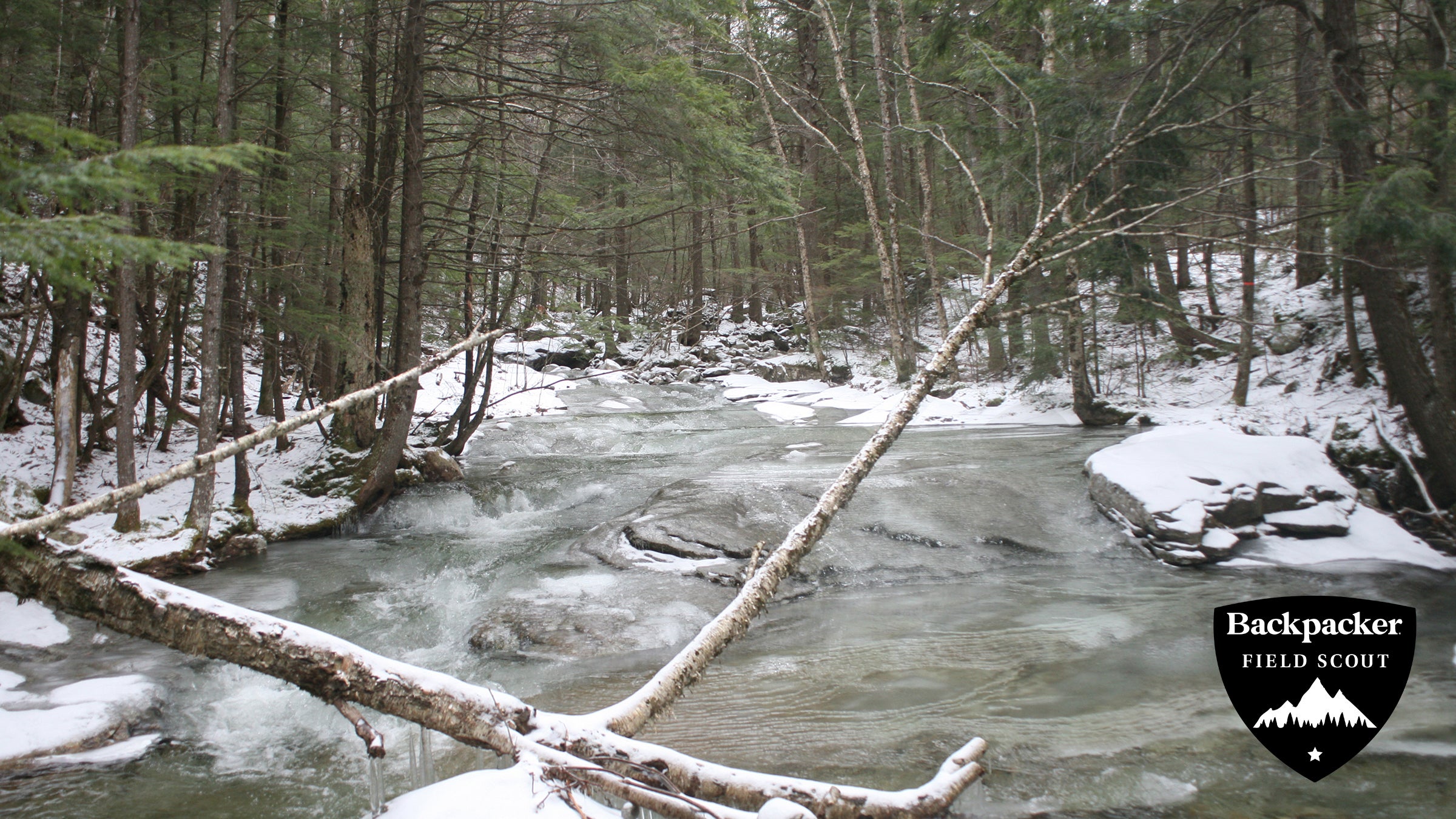
The bass roar of Bridal Veil Falls drifted through the walls of my tent, the only noise in the winter soundscape. Though I was only 2.5 miles from my car on the Coopermine Trail, I felt deep in the wilderness; the mumble of the half-frozen creek had been the only accompaniment to my hike in, leaving cities, cars, and even conversation farther behind with every step. As a winter camping neophyte, this trip was perfect—close enough to my car to bail in an emergency, but far enough out that I felt completely secluded in nature. As I shimmied deeper into my sleeping bag, breath clouding the air above me, I let the rumble of the water lure to me sleep and marked this foray into four-season backpacking a success.
| Trip Stats | |||
| Distance: 5 miles (roundtrip) | Difficulty: 2/5 | Rating: 4/5 | Duration: 2 days |

Turn by Turn
- Park your car on Coppermine Road, a dirt road off NH 116, and walk .25 mile down the road, staying right at the split.
- Not long after the road splits pick up Coppermine Trail on your left (marked by a brown WMNF sign). Thick rows of hemlock trees line the path, but the sun still manages to shine through, preventing any serious ice buildup on the path.
- At mile 1, you’ll get your first view of the brook. To get a closer look, bear to the right and go down a short, steep hill to a small clearing on the brook’s edge. Small waterfalls and mossy boulders scatter the creek. As the path continues beyond the first brook view, it gets progressively rockier and narrower; instep crampons are a good idea.
- Pass a shallow stair-step waterfall that runs for a few hundred feet at mile 1.5.
- To reach 35-foot Bridal Veil Falls, head behind the Coppermine Shelter (just past the bridge at mile 2.3) and look for a small trail marker on a tree. The rocky trail bears to the left before crossing the brook.
- Head left again and cross the brook to camp in a clearing near the falls. On a clear night stars are visible through the trees above most campsites.
Trip Planner
Permit None Contact White Mountain National Forest GPX Download