Updated July 11, 2025 11:36AM
Paddle to a Private Lake Superior Beach in the Porcupine Mountains
By Marissa Gawel
(Photo: Photo by Weston MacKinnon on Unsplash)
See our whole list of best summer paddle trips.
- Distance: 15 miles
- Time: 2 days
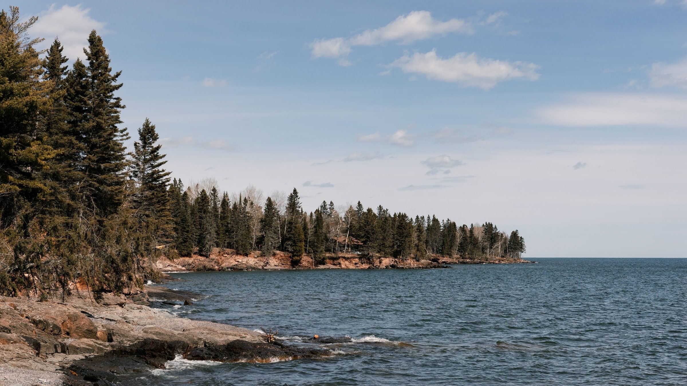
I watch the sunset paint Lake Superior’s glassy waters orange from a beach campsite hidden in the Porkies. Behind me, finger-like ridges stretch across the wilderness, occasionally disappearing into rocky coves. Like many other Michiganders, the glaciers had a hard time leaving this place. They melted in fits and starts tens of thousands of years ago, leaving behind this spectacular coastline, and—because we paddled 7 miles to get here—we can enjoy it with bulkier luxuries like cots and a growler. We just might never leave.
Turn-by-turn
From the Union Bay boat launch
(1) Put in and follow the Lake Superior coast 7.5 miles west to a secluded beach in a small cove surrounded by old-growth forest and natural stone furniture. Shore up here.
(2) Retrace your strokes east to the boat launch.
Campsite
Lake Superior Coast (mile 7.5)
You can camp anywhere on the coast, but we like the spot near mile 7.5. Set up camp on the secluded beach (room for three tents) where the trees thin. Sit back in the natural stone chair by the fire pit with a king’s view over Superior and enjoy the solitude—you’re .5 mile of dense, old-growth woods from the nearest trail. The social site is first-come, first-serve (like all spots on the coast), but its distance from the footpaths means it will almost assuredly be available.
Add a hike
From the campsite, paddle 3.9 miles farther west and land near the waterside Lake Superior Trail, the park’s remotest path. Take this trail 2.3 miles southwest to its terminus at the mouth of the Carp River. From here, you can cut 1.1 miles inland on the Carp River Trail to the park’s tallest cascade: 20-foot Shining Cloud Falls.
Visit an island
On a calm day, explore deserted Lone Rock, a colorful formation 2 miles west of the campsite. Since Lone Rock is about 650 feet from shore, don’t venture there on a choppy day if you’re not a confident paddler.
DO IT
Trailhead 46.821530, -89.637237; 9 miles north of White Pine off 107th Engineers Memorial Hwy W. Season Mid-May through September, but late summer is best for warmer water (above 55°F) and fewer bugs. Call the ranger station to check on lake conditions. Permits You need a backcountry pass ($14 per night per group); get one at any ranger station. Custom-centered mapbit.do/BPmapPorkiesPaddle ($15) Contactbit.do/Porkies
ADVERTISEMENT
Trail Facts
- State: MI
- City: Detroit, MI
- Distance: 15.0