Updated July 10, 2025 09:17AM
Boston, MA: Distance Dreaming (Long Trail)
Experience thru-hiking fever (and New England hardwoods) on this section of the historic Long Trail across Glastonbury Mountain. BY RYAN WICHELNS
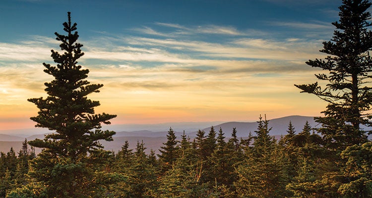
'Get this view of the Greens from the fire tower on Stratton Mountain. [Vince M. Camiolo / tandemstock.com]'
It’s easy to feel like an outsider when you’re a weekend hiker sharing a shelter with four Long Trail and Appalachian Trail vets. That’s the way I started the evening. But now, sitting in the fire tower on top of 3,748-foot Glastenbury Mountain, I start to feel like an insider. The orange-pink light of sunset washes over Stratton Mountain, where in 1909 James P. Taylor conceived the first long-distance trail in America. I’m just hiking a tiny piece of his historic route—a quiet ridge draped in New England hardwoods—and already I know, deep down, that there’s only one thing to do: keep walking.
Trip stats
Distance: 20.4 miles (point to point)
Time: 2 days
Turn-by-turn
From the Appalachian trailhead on VT 9
(1) Head 9.1 miles north over Maple Hill and Little Pond Mountain on the Appalachian/Long Trail (plan to linger at the open vista near mile 3.9) to the Goddard Shelter, just below the Glastenbury summit.
(2) Continue 9.4 miles north, eventually winding downhill to FS 71.
(3) Cross the gravel path and proceed 1.9 miles east and north on the Long Trail to your shuttle car at the parking area on Kelley Stand Road.
Campsite
Goddard Shelter (mile 9.1)
You don’t find many shelters this close to a mountain’s summit in the Northeast, which makes Goddard a treat. Drop your pack at the spacious lean-to (room for 10), then climb 10 minutes to the fire tower on top of Glastenbury to catch the sunset. Return to Goddard for social hour on the front porch; expect a thru-hiker motley crew. The shelter is first-come, first-serve (free), and there are tent sites in either direction, including one just below Glastenbury’s summit.
Add a peak
From your shuttle car on Kelley Stand Road, continue 3.3 miles north on the Long Trail to bag 3,940-foot Stratton Mountain, Vermont’s eighth-tallest peak. Not only was a Stratton trip the genesis of the Long Trail in 1909, but a few years later, during the trail’s construction, Benton MacKaye’s own Stratton hike spurred his idea for a path traversing the entire Appalachian chain.
Campfire story
The area is the site of at least five (but perhaps as many as 10) disappearances. The most famous: In 1946, an 18-year-old student at Bennington College went for a hike from VT 9 to Glastenbury Mountain and was never seen again. The area is now referred to as the “Bennington Triangle.”
DO IT Shuttle car 43.061171, -72.967758; 20 miles southeast of Manchester on Kelley Stand Rd. Trailhead 42.885110, -73.115580; 50 minutes southwest of the shuttle car on VT 9 Season April to November Permit None Custom mapbit.do/BPmapLongTrailsection ($15) Contactbit.do/green-mountain-nf
ADVERTISEMENT
Trail Facts
- State: VT
- City: Boston, MA
- Distance: 20.4
- Miles from city center: 139
- Contact: bit.do/green-mountain-nf
- Land Type: National Forest