Published October 15, 2021 01:05PM
Hiking the Billy Goat Trail
Make like a goat and hoof it to the trail: just a hop, skip, and a jump from D.C.

The Billy Goat Trail near Washington, D.C. (Photo: Lorie Shaull)
Distance: 8 miles one-way
Total Elevation: ~200 feet
Difficulty: Strenuous
Time to Complete: 4-5 hours
Dog Friendly: Not on section A, but yes on B and C sections, if leashed.
Permits: Not needed
One of the most popular trails in the DC area, the Billy Goat Trail in Potomac, Maryland is a fun adventure for hikers of all levels. Broken into three sections, all accessed from the Chesapeake and Ohio Canal Towpath, the trail provides part challenging terrain, part leisurely strolls, and full-on beautiful views. Section A will have you channeling your inner billy goat as you balance on slim ledges, hop across deep gaps in a rock wall, and stare down a steep cliff face to the roaring Potomac River below. The other two sections are more mellow letting you explore Maryland’s Bear Island and catch some great views across the river to Virginia with a more leisurely pace and light rock scrambling. Whether you want to combine all three sections for a longer hike or try your hand (or feet) at just one, this guide will tell you everything you need to know before hitting the trail.
Where is the best place to start?
There are three parking areas for hikers along the Billy Goat Trail, with at least one near each trailhead.
ADVERTISEMENT
Billy Goat Trail A:
- Great Falls Tavern Visitor Center: The parking lot here provides the easiest access to Trail A and also has bathrooms.
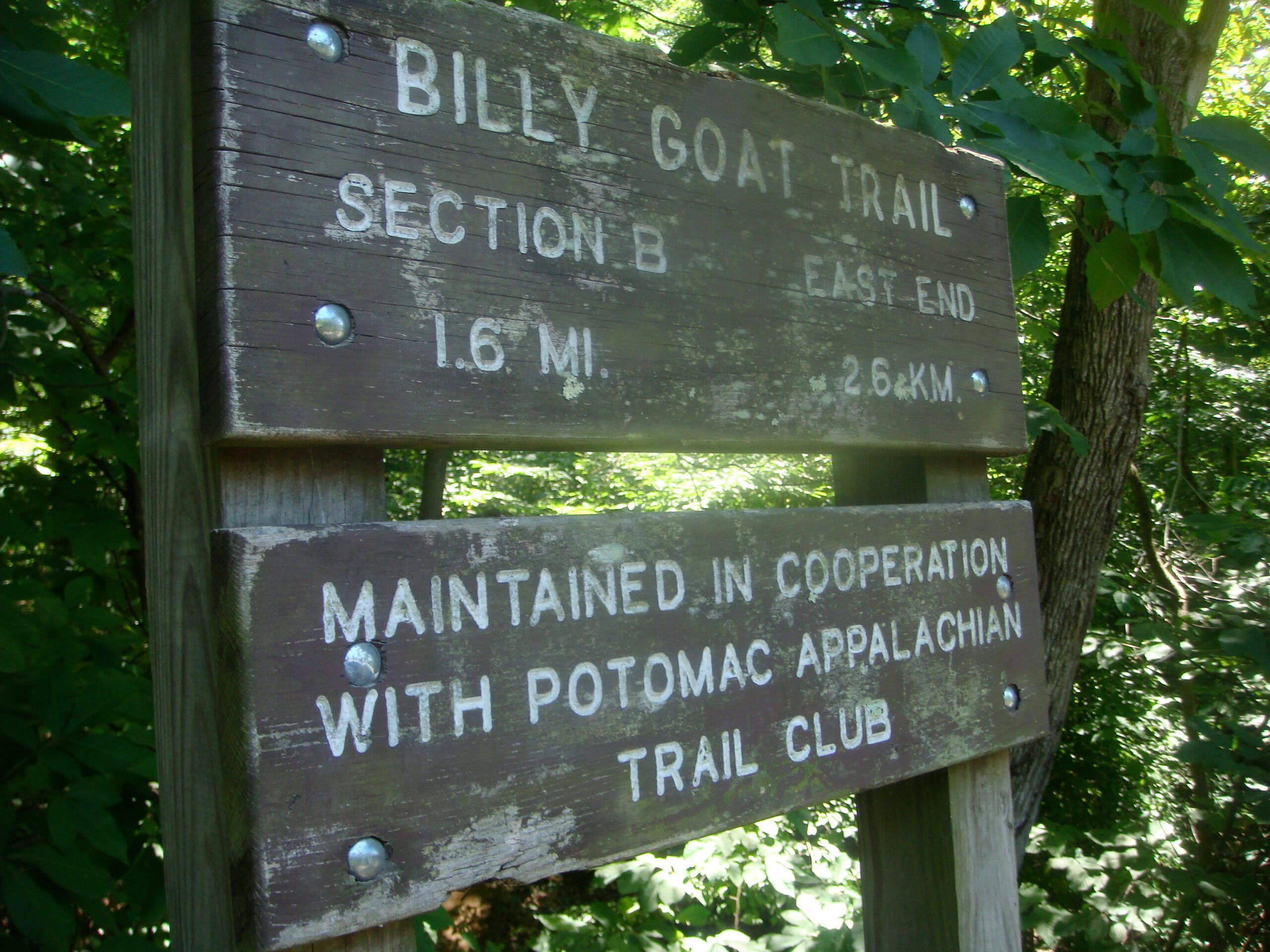
Billy Goat Trail B:
Note: Section B is closed due to trail damage and erosion and the National Park Service has not given a timeline for reopening.
- Anglers Inn: There are designated parking lots across the street from Old Angler’s Inn on Macarthur Boulevard. The western trailhead is located just off the towpath near the parking lot.
- Carderock Recreation Area: Hike .4 miles along the towpath from the parking lot to the trailhead.
Billy Goat Trail C:
- Carderock Recreation Area: The trailhead is just off the parking lot.
How long will it take to complete?
The Billy Goat Trail’s three sections aren’t contiguous—instead, they’re side hikes off of the C&O Canal Towpath. Connecting all three makes for a strenuous hike of about 8 miles total and takes about 4 to 5 hours.
ADVERTISEMENT
The Billy Goat Trail’s section A is the most difficult, with near-vertical rock scrambling and precarious ledges. The other two sections are far easier, with some moderate scrambling in section B and a laid-back walk in the woods in section C.
When is the best time to hike it?
The trails and the Great Falls Visitors Center are open year-round. Spring and fall often see trail closures after heavy rains, while winter weather can lead to ice on the trail—not good, given the exposure on the first section. Always check the weather and trail conditions before hiking.
Since this is a busy hiking spot, especially section A, aim to wrap up your hike before 8 a.m. on weekends to avoid traffic delays.
Is there camping along the trail?
No. There is a group campground near section B, but it’s reserved for organized scouts or civic groups only. Plan on getting it done in a day.
ADVERTISEMENT
What is each section of the trail like?
Section A
Distance: 1.7 miles
Difficulty: Strenuous
Time to Complete: 2-3 hours
Dog Friendly: No
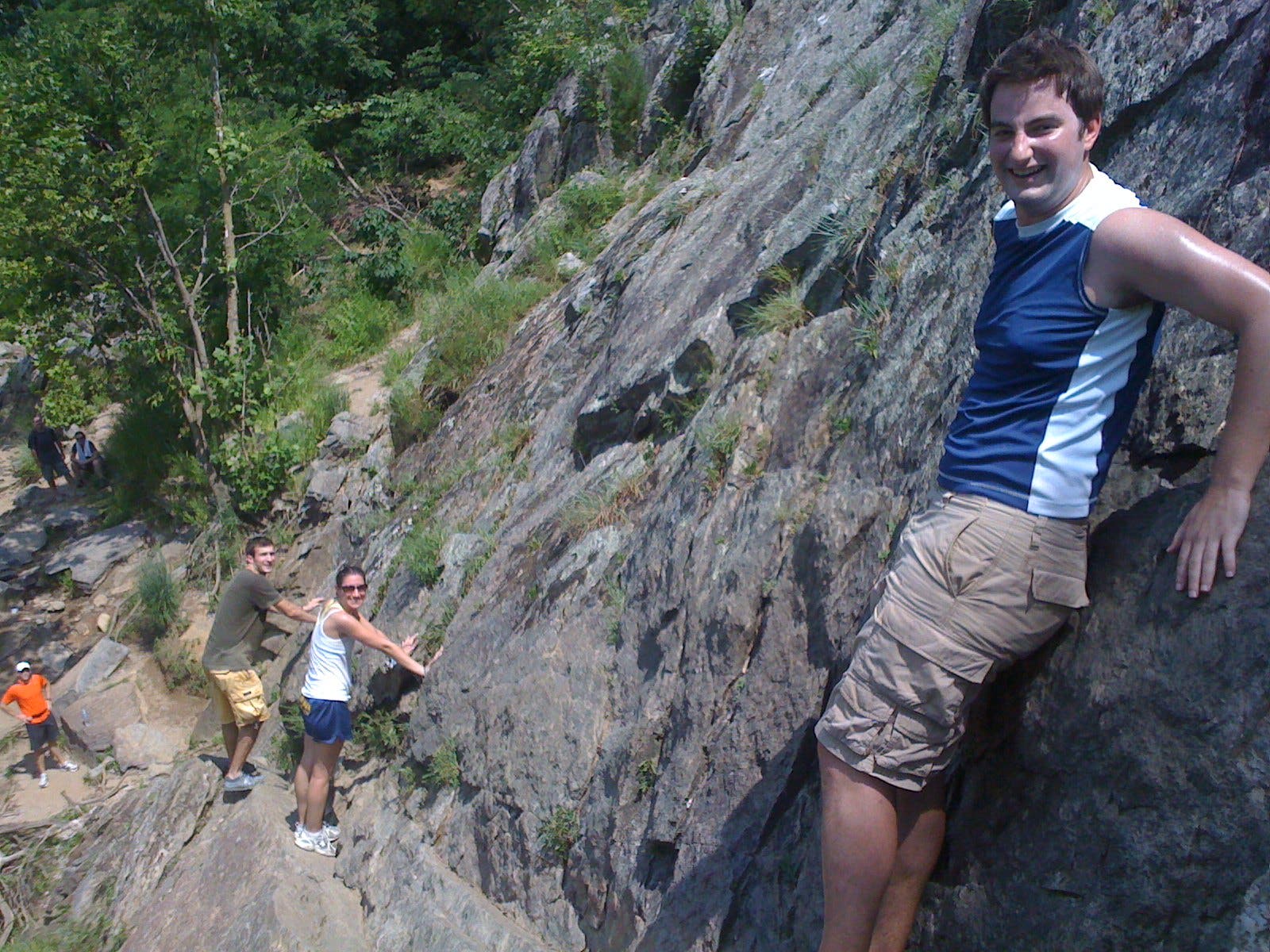
This is the most technical and dangerous section of the Billy Goat Trail. The National Park Service recommends hikers only travel one way along the trail starting at Great Falls and finishing downstream, at Anglers. Allow 2-3 hours for cliff scrambling.
ADVERTISEMENT
The trail starts out easy with a half-mile of river, forest, and wildflowers 50 feet above the Potomac. The rock scrambling starts around Trail Marker 1, where a national park sign warns about the risk of injury. From here, the Billy Goat Trail earns its name with hand-over-foot climbing, including a 50-foot near-vertical scramble. Pay close attention to the blue blazes painted on rocks and trees to avoid going off-trail.
Once you complete the strenuous rock scramble, you’ll cross Pothole Alley, an expanse of porous rock with deep crevices overlooking the Mather Gorge and Potomac River. Soon after, you’ll reach the so-called Purplehorse “Beach,” where sand and rock slope down to the river.
Once done, loop back to your car and Great Falls tavern on the more leisurely C&O Canal towpath or continue on to section B.
Section B
Note: Section B is closed due to trail damage. The National Park Service has not provided a timeline for reopening.
Distance: 1.4 miles
Difficulty: Easy
Dog Friendly: Yes, on a leash
Stroll through floodplain forest on much more moderate ground than section A. There are a few rock scrambles where the trail passes Hermit Island, but relatively easy. section B is the best of the three for bird watching. Keep your eyes out for hawks, great blue herons, a menagerie of songbirds, and the occasional bald eagle.
ADVERTISEMENT
Section C
Distance: 1.6 miles
Difficulty: Easy
Dog Friendly: Yes, on a leash
The most laid-back of the three sections, section C winds through the shade of maples, sycamores, and box elders, over a little bridge and past a small waterfall.
Tips and Tricks
- Never go into the river. Currents are strong, unpredictable, and dangerous, and even wading in or standing on rocks at the water’s edge can put you at risk of being swept under. Multiple people die every year trying to swim in the Potomac and swimming it along the Billy Goat Trail can result in fines of $200 or more.
- Wear sturdy hiking shoes with good grip. Much of the trail is on precarious rocks, cliffs, and hills and the terrain can be very slippery when wet. There are over 400 emergency calls and rescues on the trail each year. Don’t be one of them.
- Bring at least two liters of water per person as there are no fill-up points along the trail. Sunscreen and a hat for sunny days are also recommended.
- Cell service is spotty.
- Watch out for ticks, snakes, and poison ivy.
Published in March 2019; updated in November 2023