Published June 5, 2023 01:30PM
Ditch the AT's Crowds on the Benton MacKaye Trail
This short shuttle hike explores the southernmost section of the Benton MacKaye Trail, which links the Georgia backcountry to the northern reaches of the Great Smoky Mountains.
(Photo: Scott Sanders)
Hikers looking for a remote alternative to the Appalachian Trail should explore the lesser-traveled Benton MacKaye Trail (BMT). Although this 300-mile trail ends at the northern edge of Great Smoky Mountains National Park, it offers a sense of seclusion that can be hard to find on the AT.

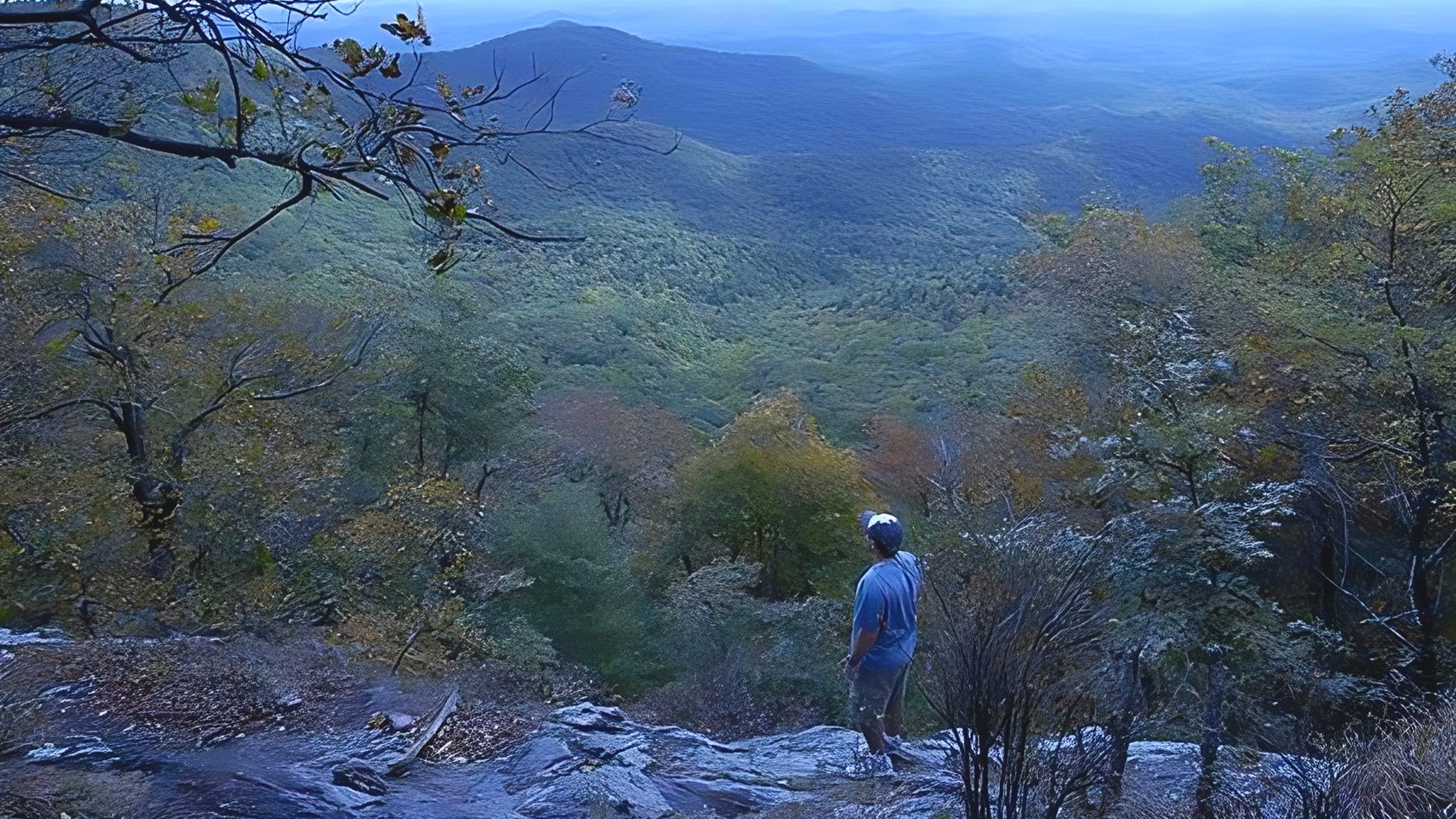
This southernmost section of the Benton MacKaye Trail begins on the Appalachian Trail and climbs south to Springer Mountain before turning north on the BMT. Soon afterwards, pass a trailside tribute to Benton MacKaye (the father of the Appalachian Trail) before descending through old growth hardwood forest toward Big Stamp Gap and a rock outcropping overlook.
Tracking west, the route continues under the cover of white pines and eastern hemlocks on a trail lined with mountain laurel.
After two more intersections with the AT, the BMT turns north for a ridgetop traverse of Rich Mountain before descending to rhododendron-lined creeks at Three Forks, the confluence of Stover, Chester and Long Creeks.
ADVERTISEMENT
Nearby shelters: Springer Mountain Shelter and Stover Creek Shelter. Several campsite options can be found near Big Stamp Gap and Three Forks.
Trail Facts
- Distance: 11.4
Updated June 2023