Updated January 14, 2025 11:12PM
Florida Trail: A Guide to Thru-Hiking the Sunshine State
There's more than gators and beaches here: Florida has one of the best all-season thru-hikes around.
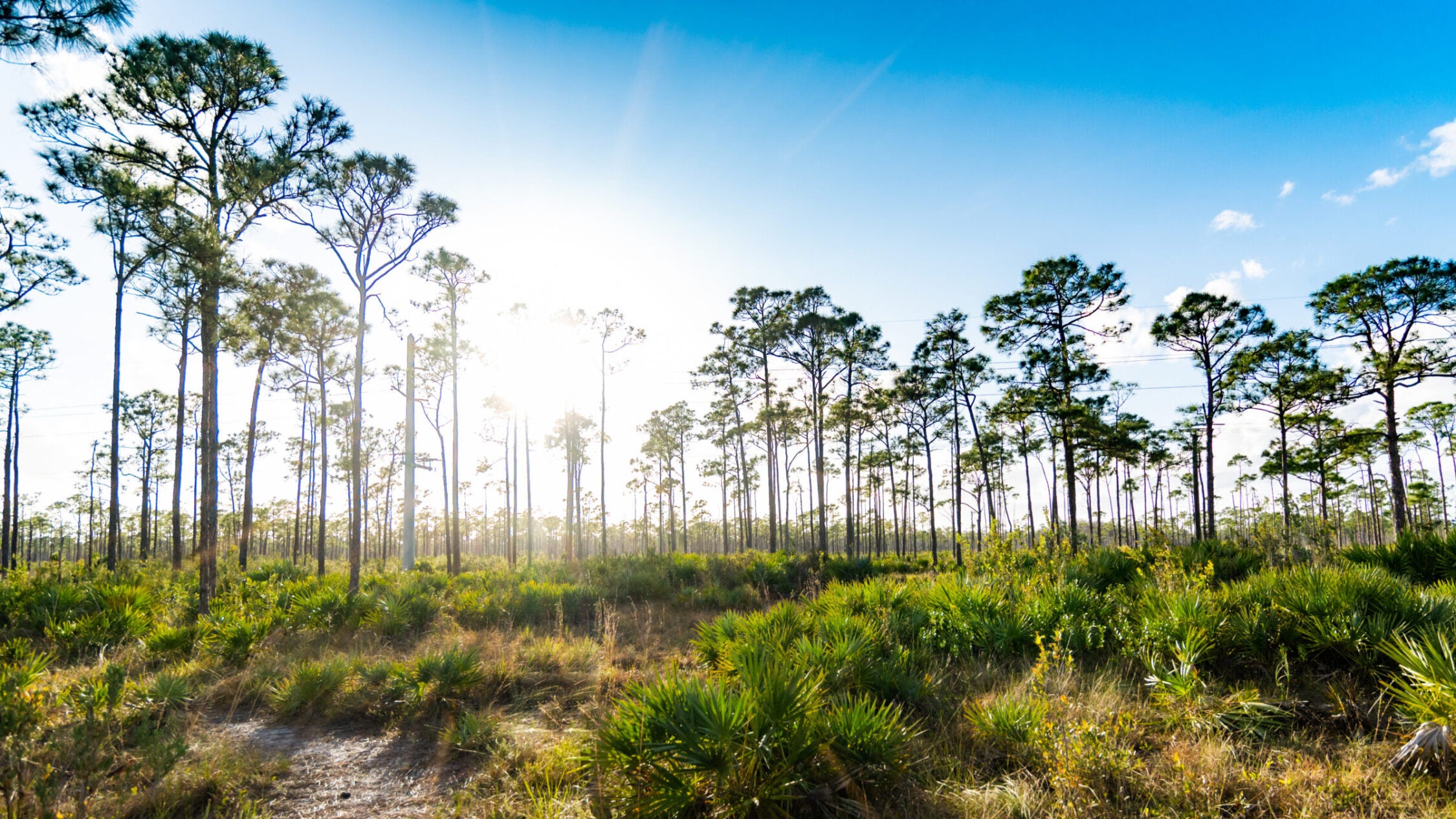
South Florida pines and wetlands in palm beach county (Photo: Lisa5201/E+ via Getty Images)
Florida has more wilderness and diverse ecosystems to explore than most people realize. Case in point, the Florida Trail. This hike crosses over 1,500 miles of beach, swamp, pine forest, and grassland. Only about 30 people attempt to thru-hike it every year compared to the thousands who head for the Appalachian and Pacific Crest trails. You’ll find solitude along this hike, wildlife that can’t be seen on the more popular thru-hikes (ummm….alligators?), and bragging rights (because alligators). As a bonus, the Florida Trail is open year-round, with no concerns about snow at its maximum elevation of 300 feet.
The Route: Hiking the Florida Trail
Big Cypress National Preserve to Seven Mile Camp
The 1,500-mile Florida National Scenic Trail stretches from the mangrove wetlands of Big Cypress National Preserve to the white sand beaches of Gulf Islands National Seashore. Most thru-hikers start in the south, where they can get the hottest part of the trail done first. The first 24.6 miles meander through sub-tropical cypress swamps, pine-dotted islands, and saw palmetto prairie. Make camp at Seven Mile Camp and listen for wild turkeys, hawks, and the distinctive scream of bobcats.
Seven Mile Camp to Lake Okeechobee
The next section climbs to a dryer section of Big Cypress National Preserve, with views down into the lush swamp. There are three campsites along this stretch: Carpenter, Panther, and CCC. The next 40.3 miles travel through similar terrain in the Seminole Tribe Reservation. From there, head to Lake Okeechobee, one of the largest lakes in the country at 730 square miles.
This section of the trail follows canals and dikes along the water. Shade can be hard to find here, but the panoramic views of the lake—home to herons, sandhill cranes, and meadowlarks—palm hammocks, and sugarcane fields make up for it. Pick either the east or the west route along the lake. Both are equally worth the walk and add up to around 90 miles no matter which way you go.
ADVERTISEMENT
Lake Okeechobee to Big Cypress National Preserve
After Okeechobee, head into the jungle of Marshall Swamp, where the floodplain of the Silver River runs 32 miles through sandy islands of pines, hardwood forest, and swamps filled with enormous trees and ferns. The next 40 miles mixes singletrack, bike paths, and road walking through old ranches, oak forest, and historic towns. Once you cross into Withlachoochee State Forest, the trail climbs into sandhills scattered with campsites. Wildlife sightings are nearly guaranteed along this 30-mile stretch. Deer are the most common, but Florida panthers live here, too.

The next 50 miles are a road walk with no designated campsites, though there are several motels. For the eastern section, leave the roads for the woods again for 34 miles of parks and preserves, which are home to a 2,000-year-old cypress tree and a large population of black bears. The next section mixes roads and trails again for 30 miles, passing through some of the state’s biggest cypress trees. Bald eagles nest along this stretch, too.
Big Cypress National Preserve to Kissimmee Prairie Preserve State Park
From there, return to wilderness for 35 miles. In the spring, wild irises bloom through the pine and cypress woods and along the edges of the swampier areas.
Switch to rail trails for the following 37.7 miles, where the Allen Broussard Conservancy offers one of the few campsites along the route with a shower. Head to the wet prairies surrounding Lake Kissimmee, which are critical wintering grounds for whooping cranes and sandhill cranes. These 53 miles can be fairly exposed, so be prepared for sun, heat, and storms. Kissimmee Prairie Preserve State Park, near the end of the section, became Florida’s first Dark Sky location in 2016.
ADVERTISEMENT
Kissimmee Prairie Preserve State Park to Ocala National Forest
The two routes join up again when the trail leaves the prairie to follow the Kissimmee River for 33 miles. Hop from there over to the Suwanee River, one of the most up-and-down sections of the trail. The 71 miles that parallel the Suwanee include several waterfalls, a whirlpool, and four primitive campsites. From the Suwanee, head into longleaf pine forest, which forms a prime habitat for the Florida black bear, for 25 miles, then cross back to the Suwanee and the whitewater at Big Shoals.
The next section heads onto rural roads and through pine forest for 23 miles. If you hike this region in February, listen for artillery: the Civil War Battle of Olustee is re-enacted here every year. Head into drier sandhills for the next 70.2 miles, traversing the central highlands of Florida. More northern tree species start appearing here, including poplars and dogwoods. Check out flowering azaleas along the trail in the spring.
Ocala National Forest to the Florida Panhandle
The next 80 miles traverse Ocala National Forest, where the first blazes for the Florida Trail were painted. This section remains in wooded uplands home to black bears, armadillos, and Easter snakes. You can camp anywhere in the Ocala, but during hunting season, stick to established sites.
ADVERTISEMENT
The Florida Panhandle and the Gulf Islands National Seashore
The last 339 miles of trail head into the Florida Panhandle for the highest points and most climbing of the trail, including several miles wandering through mountain laurel and wild azalea, pine forests that give way to wildlife-filled estuaries, and finally 25 miles of spectacular beach walking in Gulf Islands National Seashore.

Navigating the Florida Trail
Most of the Florida Trail is marked by orange blazes, each blaze within sight of the next. A double blaze indicates a turn, but the way the double blaze is made isn’t consistent throughout the trail. In some spots the upper blaze is offset to indicate the direction of the turn, but in others it isn’t. You should be able to see the next blaze from the turning point, though, so look carefully before continuing.
Don’t rely only on blazes, especially in road-walking sections. Bring a map and compass and, if desired, a GPS unit. Make sure you know your route before you begin hiking.

ADVERTISEMENT
Gear, Permits & Other Logisitics
Gear
The biggest concern on the Florida Trail is water. Whether you’re wading through it in a cypress wetland or caught in a thundershower in the open, it’s everywhere. Bring waterproof layers, both a jacket and pants, as well as gaiters and waterproof boots. Extra socks are advisable, too, in case the water is too high or the waterproofing for your feet fails. Though winter temperatures can still reach 80 degrees, they can also occasionally drop below freezing. Make sure to throw in a light insulating layer. Your tent should have a durable, proven rainfly.
Permits
The Florida Trail Association requires that thru-hikers notify them of their plans a minimum of 30 days before starting their hike. While most of the trail does not require permits, a few sections—including Big Cypress National Preserve and the Seminole Tribe Reservation—do require permits for travel or camping. Check the Florida Trail Association Data Handbook for the latest information on what spots require permits or reservations.
When to go
Most thru-hikers start the Florida Trail in winter, particularly in January, and take two to three months to complete the entire route going south to north. This keeps the entire thru-hike in Florida’s driest season and avoids the fall hunting season as well. You can day hike, section hike, or thru-hike the Florida Trail any time of year, but during hunting season make sure to bring bright clothes and make noise. The summers in Florida are very hot and severe thunderstorms are common. If you hike during the summer, make sure you have sunscreen and a sunhat, waterproof shell layers, and a bailout plan if the weather becomes too much of a problem.