Published September 20, 2013 03:23PM
Colorado Springs: Mosca Pass
Hike through history on this trek through Navajo lands.
(Photo: Mark Stevens / 500px via Getty Images)
Follow this trail through old Indigenous country, past views of Great Sand Dunes, up a sacred Navajo peak, and through a historic pass traveled by settlers. The Mosca Pass Trail will also show you a diverse ecosystem of pine woodlands, aspen groves, and streams.
Waypoints
MSP001
Head south on Mosca Pass Trail, once a wagon trail over the Sangre de Cristo range. Barely visible to the south is Blanca Peak, one of four sacred Navajo mountains.
MSP002
Veer right at the Y junction, passing Montville Nature Trail.
MSP003
Cross Mosca Creek on wooden bridge, then turn right at 3-way into delightful aspen grove. Look closely: Each aspen is actually a shoot growing from an interconnected root system.
MSP004
Continue straight; pass gray and red cliff outcropping on the left before entering small stand of ponderosa pine, a source of medicine and food for nomadic hunters.
MSP005
Head up a steep slope that quickly becomes parallel with cliff tops.
ADVERTISEMENT
MSP006
Look down to Great Sand Dunes National Park: Each peak and dune hangs ten like an ocean swell. Utes called it sowapophe-uvehe: “land that moves back and forth”
MSP007
Stay left, pass small spur trail leading to Mosca Creek.
MSP008
Ground squirrels run about, warehousing veggie scraps.
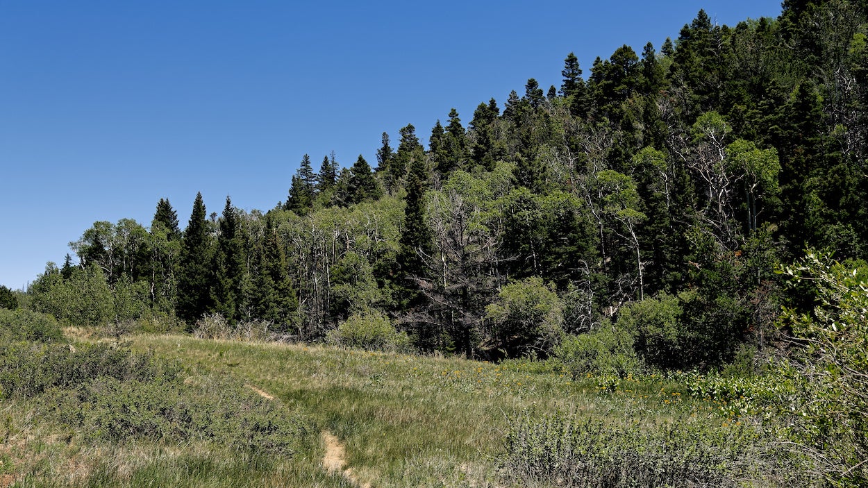
MSP009
Keep straight, bearing northeast; Mosca Pass spans colorful grassland ahead. In the 1800s, this was the site of Montville, a community of 20 homes. Sadly, none remain today.
MSP010
End of Mosca Pass at FR-583. The Mosca Pass Toll Road (a.k.a. Robidoux’s Pass) serviced stagecoaches and mail until a 1911 flash flood. From here, retrace steps back to car.