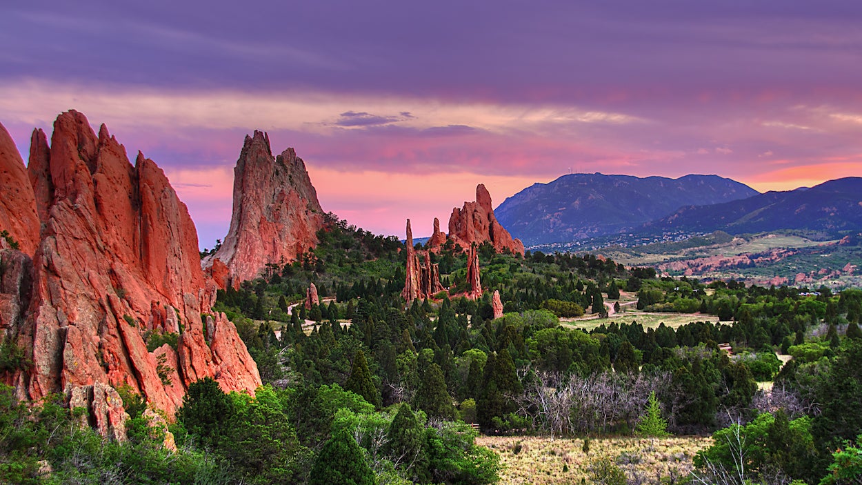
Colorado Springs, CO: Garden of the Gods

(Photo: Dan Buettner via Getty Images)
This registered National Natural Landmark got its name when two land surveyors moved west from Denver (then called Denver City) to begin a new townsite called Colorado City (now Colorado Springs). While wandering through the towering sandstone formations, surveyor Rufus Cable called this a “fit place for the gods to assemble.” And it has been called Garden of the Gods ever since.
Take this 4.3-mile trek through the Garden to see it at its best. Follow these waypoints:
GAR001
Follow the paved trail from the Garden of the Gods Nature and Visitor Center through the underpass. In .1 mile, continue straight at the 4-way on Gateway Trail.
GAR002
Cross the bridge and wind through tunnel of twisted oaks. Look southwest: Pikes Peak’s snow-capped crown provides a dramatic backdrop to golden juniper-dotted hills and giant copper-hued rock faces.
GAR003
Turn right at the five-way onto Bretag Trail. From here, you’ll see four groups of red sandstone slabs jut 300 feet into the sky from grassy plains.
GAR004
Stay left at the Y on the trail. The aptly-named White Rock starkly contrasts the ruddy tones of North Gateway Rock across expansive meadow on the left. In 550 feet, turn right at the Y, then climb stone steps.
GAR005
Bear right at the Y. The trail circles around the park’s north tip and offers intimate views of the Tower of Babel, a behemoth red rock pillar.
GAR006
Look down onto park: From this bird’s-eye vantage, rock formations resemble the plates on a stegosaurus’s back. Next, descend to a dry stream bed.
GAR007
Bear right at the Y to stay on Palmer Trail. In 400 feet, turn right again at the Y. Enjoy the views of rock formations while you can, because they become scarce in the next 2 miles.
GAR008
Turn left at the Y; cross road. In 100 yards, stay left at the two Y junctions.
GAR009
Follow Scotsman Trail to the right. 400 feet later, you’ll reach the stairs. Climb them.
GAR010
Turn right to hike southeast at the 3-way.
GAR011
Bear left at the Y junction, then continue southeast.
GAR012
Turn left at the 4-way. In the next 350 feet, turn left onto the road and keep right at the fork.
GAR013
Bear right onto Ute Trail that parallels the road; look to the left and squint to find climbers scaling vertical rock. Follow grass-lined trail north to close loop at waypoint 3. From there, retrace route back to the visitors center.