Heading out the door? Read this article on the new Outside+ app available now on iOS devices for members! Download the app.
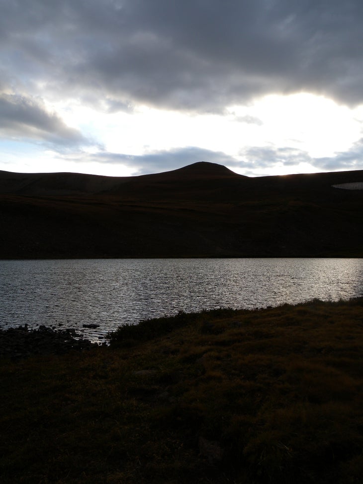
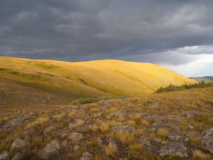
Can’t decide between a lake hike, peakbagging, or wildlife-spotting? Head to Tobacco Lake in the South San Juans Wilderness to get all three, with the added bonus of staying in the alpine for nearly the entire 6.5-mile loop. Pikas chirp from the rocks, elk and deer wander the valleys, and 12,000-foot ridges frame the trail. When you arrive at the lake itself, tucked in a treeless alpine bowl, you can admire 13,172-foot Conejos Peak where it towers above the water. Ambitious hikers can add the peak to their day out: At 2-miles round-trip from the lakeshore it’s an easy scramble to throw in mid-hike.
The Trail
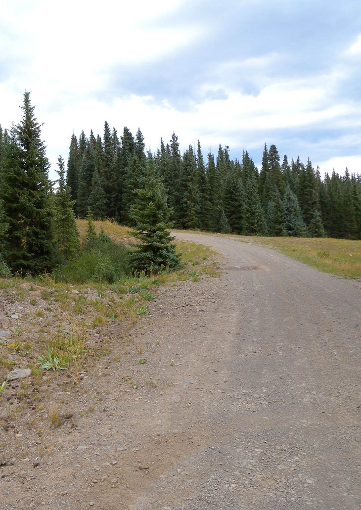
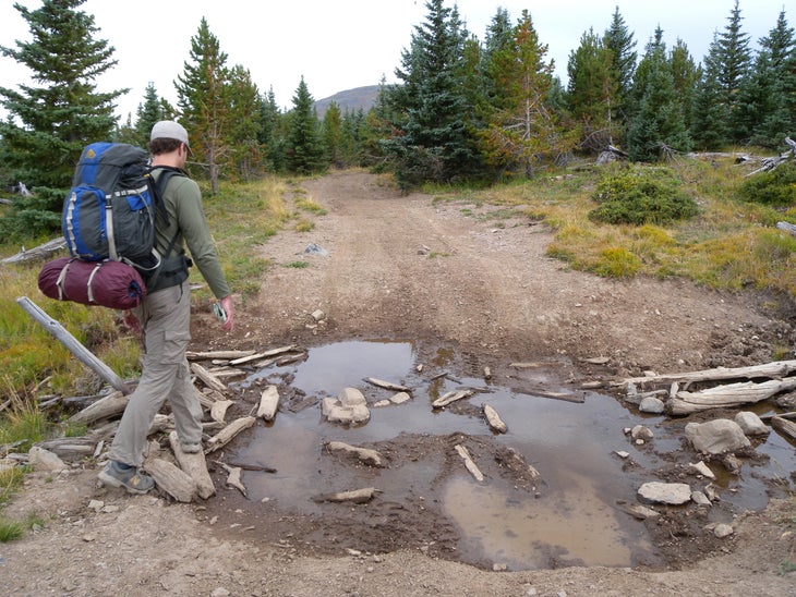
This hike begins with a .9-mile dirt road warmup from a roadside trailhead in a switchback above the Conejos River Valley (a fly fisherman’s paradise) before bearing left at the first Y-junction onto more rugged doubletrack through a brushy meadow. Continue straight past the junction at mile 1.5 and continue a mellow climb through the meadows.
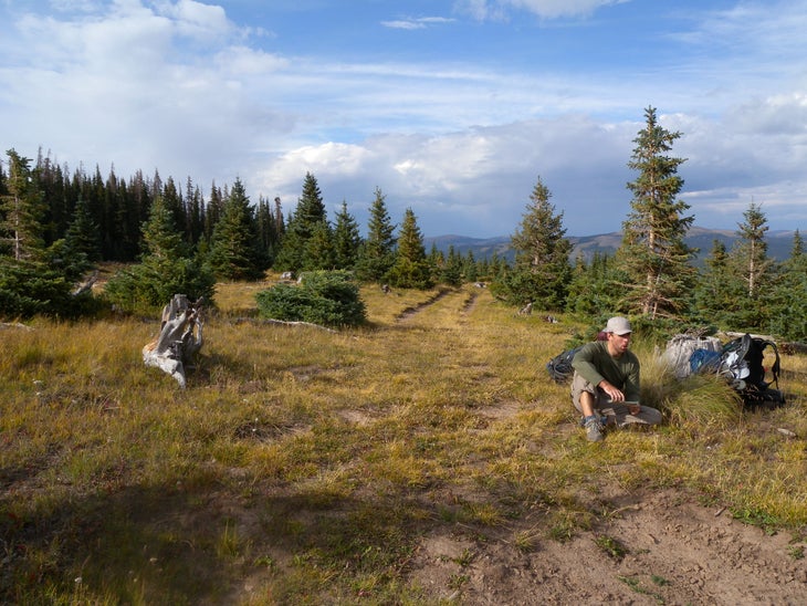
The doubletrack ends at an open hilltop, a perfect resting spot. From here, head downhill off-trail to the right (west). Within 200 yards you’ll hit the boundary fence for the South San Juan Wilderness Area. Follow the fence northwest to trail #719. Follow the trail to the left, crossing a stream before turning uphill towards the lake. As you climb through the meadows and below rocky slides, listen for screeching pika. Bypass a left-hand spur trail at mile 3.2 and continue uphill to the right toward the lake. There are several short, steep stretches of rocky trail as you pass 12,000 feet; look for elk and deer in the sweeping valley to the left as you scramble through them. The lake itself is nestled in a small, bare bowl below 13,172-foot Conejos Peak—just an hour-long climb from its shoreline. If the weather is holding you can add the 2-mile round-trip to the summit to your hike.
On the return trip, you can turn south at a junction 1 mile below the lake for a more direct route above Saddle Creek to the trailhead instead of retracing your steps. Though the initial stretch of trail is easy to follow, it becomes less obvious heading downhill. Stay on the north side of the creek and you’ll hit the main trail before crossing back out of the wilderness area near the trailhead.
-Mapped by Kristy Holland
Photo Gallery: Tobacco Lake
