Heading out the door? Read this article on the new Outside+ app available now on iOS devices for members! Download the app.
DeSoto Falls in Alabama’s Desoto State Park is one of the tallest waterfalls and most popular in the state. Located in the Desoto Falls Picnic Area about 7 miles outside the main park, this 107-footer is made up of a series of three small waterfalls and named for the Spanish explorer who ‘discovered’ them. Hikers have three options to access the falls—the River Trail, Overlook Trail, and Picnic Area Overlook. All three approaches offer unique experiences, including a bird’s-eye view of the waterfall, an ice box cave, and kayaking above the falls.
Routes to Desoto Falls
–Mapped by Scott Sanders, GroundedGraphics.com
The River Trail
Distance: 1.4 miles round trip
Difficulty: Moderate (short but steep and rocky)
Trailhead: Desoto Falls Trailhead
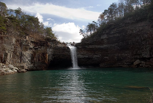
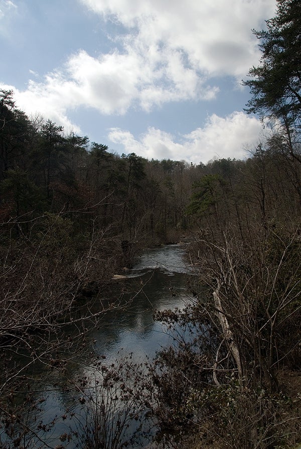
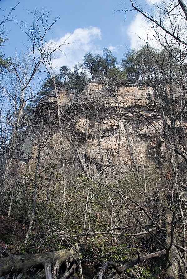
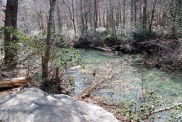
The River Trail is a 1.4-mile out-and-back along the canyon floor that follows pink blazes and offers hikers amazing views of DeSoto Falls. The hike meanders through the lush, ecologically diverse environment of the canyon floor and leads to the aquamarine plunge pools of the falls. Be ready to scramble over rocks and climb over fallen trees while exploring life below the canyon walls.
Be sure to veer off the River Trail and explore the .32-mile Bluff Trail (pink and white blazes) to find an ice box cave where you can cool down for a few minutes and catch your breath. The Bluff Trail intersects with the River Trail at both ends so you can make your own loop hike by following the River Trail out and the Bluff Trail on the way back.
The Overlook Trail
Distance: .9 miles out and back
Difficulty: Moderate due to rocky terrain
Trailhead: Desoto Falls Trailhead
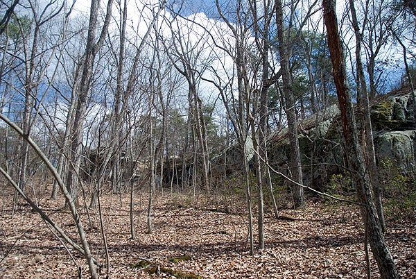
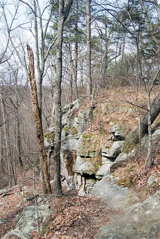
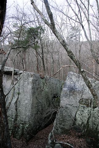
The Overlook Trail (pink and blue blazes) is a shorter hike at .45 miles one-way. This lesser traveled route follows along the rim of the canyon and passes by lichen, moss, and huge boulders. You can get amazing panoramic views of the falls and pools as well as of the canyon and river below.
Picnic Area Overlook
Distance: 50 stairs to a viewing platform
Difficulty: Easy
Trailhead: Desoto Falls Picnic Area
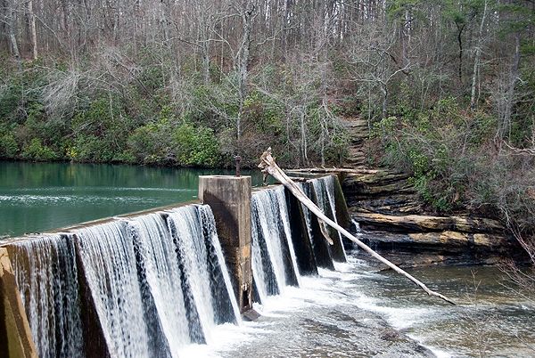
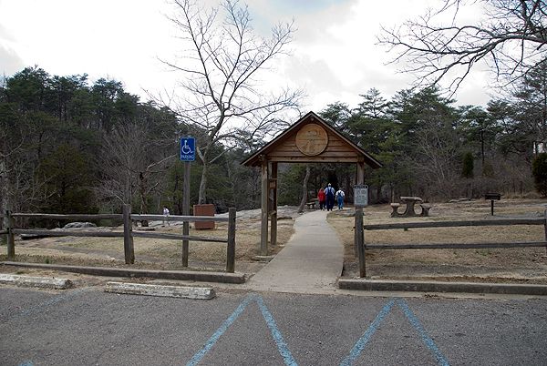
If you park in the Desoto Picnic Area you’ll find a paved walkway that begins near the manmade DeSoto Lake. Look at the upper falls from the picnic area itself or hike down 50 or so concrete stairs to get a fuller view of the entire waterfall. This popular area offers an easy way to view the falls as well as a variety of picnic spots and the option for canoeing or kayaking on the lake.
Additional Photos of Desoto Falls
