Topeka: Horsethief Canyon

-Mapped by Jon Conard
Trail Facts
- Distance: 7.1
Waypoints
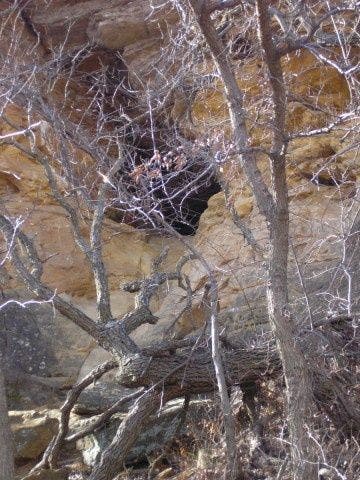
Cave
Location: 38.677235, -97.993369
©Jon Conard
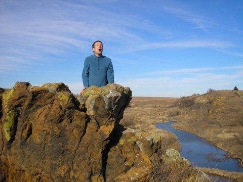
Howling On Rock
Location: 38.674751, -98.002281
©Jon Conard
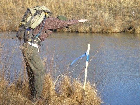
High Water Crossing
Location: 38.675842, -98.003891
©Jon Conard
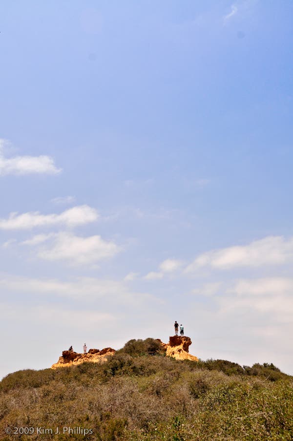
Rock Outcropping
Location: 38.675941, -98.002754
©Jon Conard
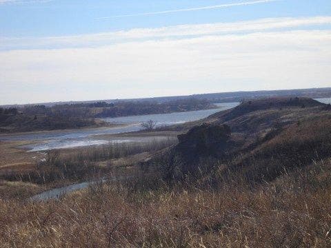
View of Kanopolis Lake
Location: 38.67963, -98.001244
©Jon Conard
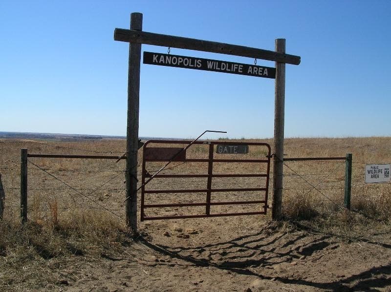
Gate At Trail Junction
Location: 38.678408, -98.010943
©Jon Conard
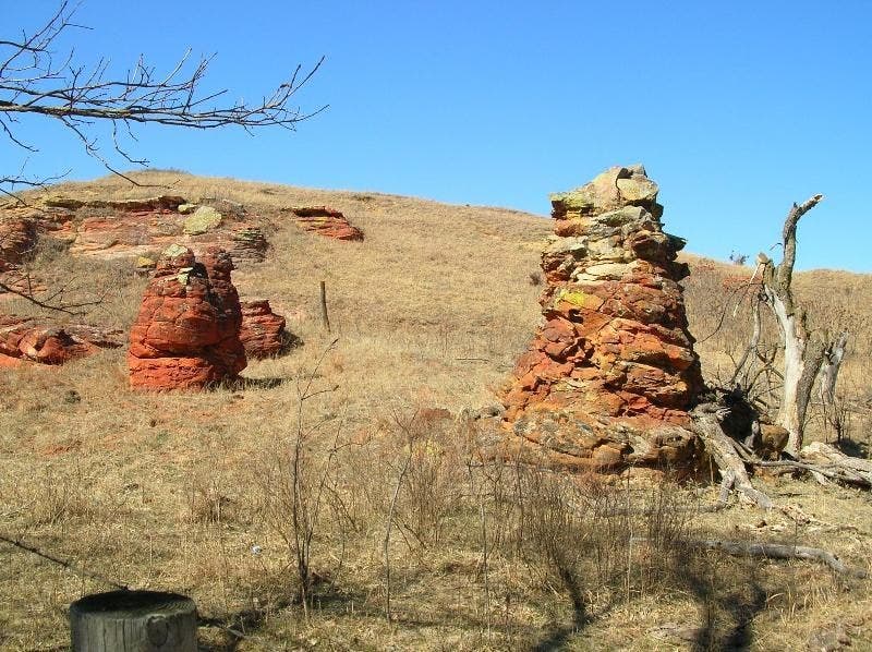
Red Rocks
Location: 38.681877, -98.006149
©Jon Conard
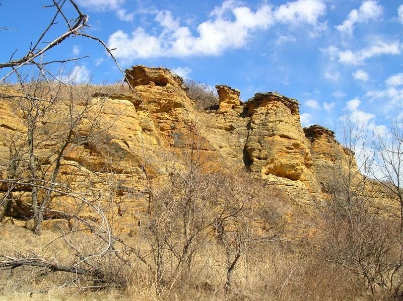
Sandstone Bluffs
Location: 38.679362, -98.005493
©Jon Conard
HTC001
Location: 38.671958, -97.999485
Head NNE on the Buffalo Tracks Canyon Trail
HTC002
Location: 38.677235, -97.993627
Look behind scraggy bushes for a small cave carved into the sandstone bluffs; swing W and wrap around bluff point into the adjacent canyon
HTC003
Location: 38.681221, -98.000122
Stream crossing; at sundown, coyote yelps echo inside the canyon
HTC004
Location: 38.67963, -98.001544
Vantage between canyons offers almost clear views to Kanopolis Lake
HTC005
Location: 38.681839, -98.006248
These 12-foot-tall sandstone hoodoos belong in southern Utah, not central Kansas
HTC006
Location: 38.678374, -98.011158
Swing L, heading S on Horsethief Trail
HTC007
Location: 38.675941, -98.003128
Keep straight @ T near large rock formations
HTC008
Location: 38.675251, -98.00164
Use huge, sturdy beaver dam to cross swollen creek with deep pools
HTC009
Location: 38.6758, -98.000549
Continue E @ junction
HTC010
Location: 38.675752, -97.999367
When the water level is more than shin-high, it’s best to leave trail briefly here and head SE to cross stream on second beaver dam. Then swing back upstream to rejoin the main, well-marked trail.
HTC011
Location: 38.67556, -97.99881
Carefully cross log-jammed stream again; turn R and head S to trailhead