The Continental Divide Trail Project





Stop just dreaming about a thru-hike; make it real! Our online Thru-Hiking 101 class covers everything you need to plan and finish the long-distance hike of your dreams. Start it instantly, complete it at your own pace, access it forever. Sign up now!
PHOTO GALLERY
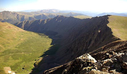
Views of the CDT
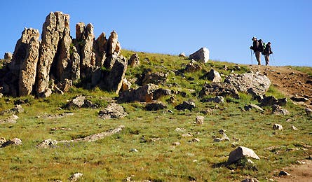
Hit the trail with Backpacker editors and readers as they cover 3,100 miles for the Continental Divide Trail Project.
EXCLUSIVE VIDEO COVERAGE
Continental Divide Trail: Amazing Views
Hike the trail with the CDT team and see the amazing vistas that they encountered.
Continental Divide Trail: Wildlife
Hikers weren’t the only ones on the CDT. Hit the trail and see some of the wildlife the team saw.
Continental Divide Trail: The Teams
Meet the Montana and Idaho team on the CDT trail.
BLOG
The CDT Blog
Learn about the project in Backpacker’s exclusive blog coverage of the effort to map the Continental Divide Trail.
Feature Story
The CDT Project
We sent 209 readers out to GPS the Continental Divide Trail, the biggest, baddest long-distance path of them all. They brought back the makings of the first authoritative map of this American classic. These are their stories–and their favorite sections.
COMING SOON!!!
See complete GPS-enabled trip reports from the our CDT map correspondents.