Published September 5, 2019 06:09PM
The 3 Best Hikes for Gem Hunters
Search for buried treasure on one of these gem-studded dayhikes, where gathering rocks is legal.
'istock.com/Ebettini'
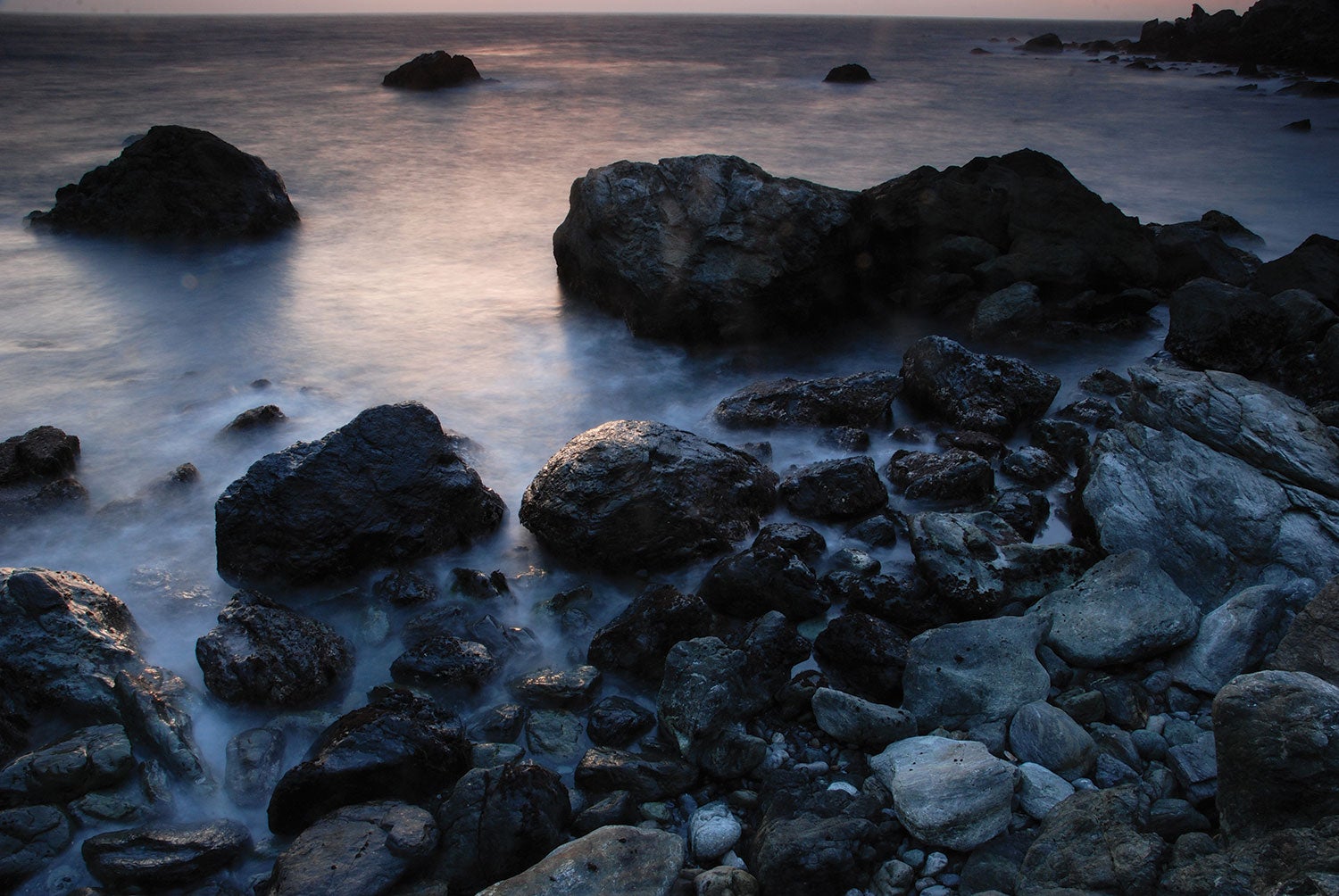
Jade Cove Trail
Los Padres National Forest, CA
The crashing waves of the Pacific Ocean can crush almost any rock into fine sand. But not jade. Untold clusters of this mineral, which ranges from opaque forest green to clear emerald, are buried in the soft, serpentinite bedrock around Jade Cove. Between the winter storms that break fresh pieces out of the cliffs and the plate tectonics slowly pushing new gems to the surface, the treasures scattered across the shoreline are frequently replenished. Comb the beach to find your own on this 1.5-mile loop near Big Sur. Hike northwest from the Plaskett Rock Point trailhead through sagebrush and other coastal grasses to reach an outlook at mile .3, where hang gliders soar above and elephant seals bark below before retracing your steps 150 feet back to the first intersection. Turn right and follow the coastal trail (watch for poison oak) straight for .6 mile. At the second intersection, turn right and edge your way down a steep slope—look for a fixed rope, which assists with the last 100-foot drop. Maximize your chances of finding a hunk of jade by timing your hike to hit the beach at mile 1 during low tide (collecting above the mean high tide line is prohibited, as are tools). Retrace your steps up the steep slope and head north, taking a right at the intersection along the cliff to complete your journey.
Prospector Trail
Crater of Diamonds State Park, AR
At first glance, southwest Arkansas’s thick stands of pine, hickory, and oak seem an unlikely place to look for diamonds. But that’s exactly what John Huddleston found sparkling in the dirt while farming his fields in 1906. This corner of the Ouachita Mountains was home to an ancient volcano that pushed 3-billion-year-old lumps of pure carbon to the Earth’s surface 100 million years ago. Take a 1.4-mile stroll around the 81-acre crater (what’s left of that extinct volcano) to witness its human and geologic history. Head northwest from the Diamond Discovery Center across a plowed field (diamond hunting is confined to this area), passing by markers noting the locations of the park’s biggest finds—the 40-carat Uncle Sam diamond to the south and the 15-carat Star of Arkansas to the north. Hit the Prospector Trail at the base of 430-foot East Hill (the high point in the park) at .1 mile. Hike counterclockwise, passing remnants of a 20th century tramway used during the park’s commercial diamond mining and circle around West Hill at mile .6. At mile .9, peer into the site of a massive excavation, where 9,600 tons of dirt were pulled out of the earth in the 1990s to see just how many diamonds were in the park (answer: a lot). Complete the loop and head back to the diamond fields to conduct your own search. The entrance fee is $10.
ADVERTISEMENT
Moat Mountain, Mineral Site Trail
White Mountain National Forest, NH
For hundreds of years, smoky quartz has mesmerized rockhounds the world over. Sixteenth-century Brits tried to see the future in it. Crystal healers said it could absorb misfortune and keep anxiety at bay. In 19th-century China, eyewear pioneers used it to make prototypes of sunglasses (not recommended). Whether you believe in its powers or not, find your own piece hidden among the volcanic rock of the Moat Mountains. Start this 5.7-mile loop by hiking north from the trailhead. Stay alert for moose and black bears for .9 mile across wooded, rocky terrain, tacking right at the first two intersections. Switchback down 400 feet and .7 mile through hemlock and spruce to Red Ridge Road. Hang a right and roadwalk .4 mile past a gate to the intersection with the Thompson Falls Trail. Take that .5 mile west, pausing at Thompson Falls, which cascades through a jumble of jagged boulders. (Art history buffs: This is where Benjamin Champney found his inspiration for White Mountain paintings in the 19th century.) Return to the Red Ridge Road and veer left after .8 mile onto the Tent Boulder Trail, then head south for 1.5 miles to the Moat Mountain Mineral Site. Load up on smoky quartz (small hand tools allowed) and return your dig site to the condition you found it in before hiking out. Maybe you’ll even see the future in what you find.