Tallahassee: Wakulla River Loop

Mapped by Chris Harper


Trail Facts
- Distance: 13.7
Waypoints
WSL001
Location: 30.2395858764648, -84.3102722167969
Go N on tree-lined Wakulla Park Dr. to access
trailhead
WSL002
Location: 30.2430973052978, -84.310417175293
Turn R @ 3-way. Stroll E under majestic oak and
beech
WSL003
Location: 30.2426738739014, -84.2972640991211
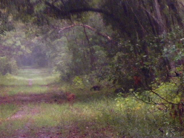
Keep L @ Y to start the first loop; look for deer
that peer out from quiet, mossy woodlands; wide
trail travels E
WSL004
Location: 30.2424831390381, -84.2902603149414
Trail swings R, heading SE
WSL005
Location: 30.2343597412109, -84.2838439941406
A log next to trail doubles as a bench, so take a
load off and grab a quick snack. In 100 ft., path
swings E, then drops to the S
WSL006
Location: 30.2311573028564, -84.280403137207
Stay straight @ 3-way, heading SE; ahead, trail
gradually winds E
WSL007
Location: 30.2299346923828, -84.2770919799805
Cross bridge with shoulder-high railings; grassy
trail continues E through hardwood-pine corridor.
In .3 mi., cross bridge over McBride Slough
(waters are fed by spring to the N)
WSL008
Location: 30.2298450469971, -84.2654190063476
Stay L @ Y to explore second loop, heading E
WSL009
Location: 30.229793548584, -84.2538909912109
Turn R @ 3-way before gate, then meander S
WSL010
Location: 30.2222099304199, -84.2612762451172
Turn R @ T (trail on L leads to trailhead on Rock
Rd.). Next mile: Follow path back to WPT 8;
turn L @ T. Retrace route to WPT 6; bear L @ Y
Bridge along old forest road
Location: 30.2299537658691, -84.2761840820312
WSL011
Location: 30.237621307373, -84.2902603149414
Continue NW through sun-filtered forest for .6 mi.
to WPT 3; turn L @ T; return to trailhead
Woodlands
Location: 30.2426853179932, -84.2958450317383