Superior Hiking Trail: Sugarloaf Road to CR 6

This section of the Superior Hiking Trail starts off flat, but don’t be fooled—you’ll climb from tannin-laden rivers to big cliff-top views of thick forest, glassy lakes, and Lake Superior. Near mile 5, tackle steeper climbing into bluffs above the Manitou River. At mile 9.6, the trail descends to a well near Benson Lake. Slurp down a cool, clear drink before moving on through hardwood forest to your camp between the Baptism River and Blesner Creek at mile 12.5.
Head up the river the next morning and veer off to visit a series of glassy lakes (listen to the echo of loon calls). Cross the East Branch of the Baptism River at mile 21 and climb into rolling hills above the southern shore. At mile 26, the trail rises into the cliffs of the Section 13 area, where climbers scale the rock faces and eagles hunt above. The trail descends onto CR 6 at mile 28.2.
-Mapped by Steffan Fay
Trail Facts
- Distance: 45.4
Waypoints
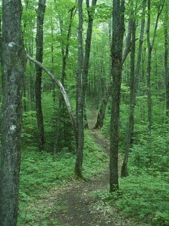
Walk in the woods
Location: 47.4197196960449, -91.1884994506836
The SHT is often a nice walk in the woods.
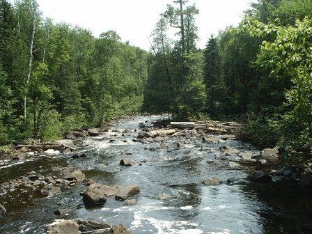
Manitou River
Location: 47.4796257019043, -91.0976867675781
Manitou River
Section 13 Area
Location: 47.4233322143555, -91.1540679931641
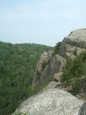
Climber in the Section 13 area.
SHT Trail Blaze
Location: 47.4753761291504, -91.1436614990234
Look for these blazes on the trail.
Egge Lake
Location: 47.4552879333496, -91.2147827148438
Crystal Creek Bridge
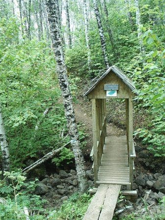
Location: 47.4838752746582, -91.0119171142578
Crystal Creek Bridge
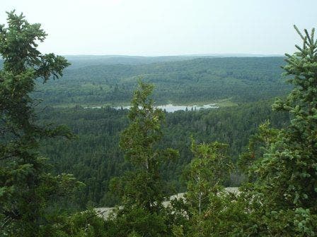
View from Section 13
Location: 47.4244232177734, -91.1546096801758
View west from Section 13 Area
Sawmill Creek Bog boardwalk
Location: 47.4259834289551, -91.1702880859375
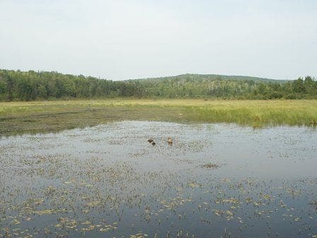
Sawmill Creek Bog from the boardwalk.
Sonju Lake
Location: 47.4823303222656, -91.2060546875
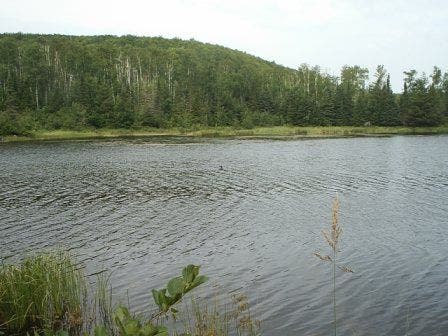
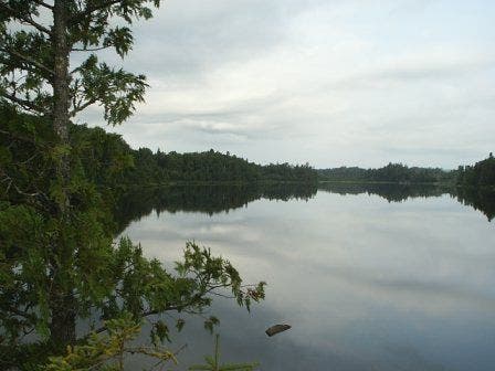
Enjoy Sonju Lake from the picnic spot between the campgrounds. On calm days, the water was smooth as glass, and the only sound is from the loons.
SHT001
Location: 47.4979515075684, -90.9978485107422
The trail begins on easy grades heading southwest. Watch for whitetail deer at clearings.
SHT002
Location: 47.4837112426758, -91.0122222900391
Crystal Creek Bridge
SHT003
Location: 47.470516204834, -91.0332183837891
Conditions permitting, enjoy a dip in the Caribou River. SHT campsites are located here also.
SHT004
Location: 47.4854507446289, -91.078369140625
Trail climbs steeply to north.
SHT005
Location: 47.4802665710449, -91.1000671386719
Just past the Manitou River, turn right @ West Manitou River Trail.
SHT006
Location: 47.4855842590332, -91.1056976318359
Turn left @ Middle Trail.
SHT007
Location: 47.4790687561035, -91.111686706543
At the Benson Trailhead, walk through the parking area and head down the park access road.
SHT008
Location: 47.4779510498047, -91.1170196533203
The short spur up to the old-fashioned hand-pumped well is worth it. Cool, crystal-clear water, and no need to filter.
SHT009
Location: 47.4794654846191, -91.1232299804688
Follow the trail back into the woods as it crosses CR 7.
SHT010
Location: 47.4733200073242, -91.1603012084961
Campsite. Fall asleep surrounded by rushing water–the site is surrounded by the noisy Blesner Creek and the Baptism River.
SHT011
Location: 47.4823303222656, -91.204704284668
Enjoy Sonju Lake from the picnic spot between the campgrounds. On calm days, the water was smooth as glass, and the only sound is from the loons.
SHT012
Location: 47.4555053710938, -91.2154693603516
Spur to Egge Lake
SHT013
Location: 47.4346313476562, -91.2210006713867
Follow the trail along CR 7 southwest.
SHT014
Location: 47.4327163696289, -91.224235534668
Leave CR 7 for the backcountry once again by veering left off the road.
SHT015
Location: 47.4239311218262, -91.1701126098633
Take the time to sign the trail register at Sawmill Creek Bog, and follow the boardwalk along the huge beaver dam.
SHT016
Location: 47.4248962402344, -91.1535339355469
Take in the views from the high ground in the Section 13 area. The SHT campsite here is one of the few without adjacent water. Watch for bald eagles riding afternoon thermals.
SHT017
Location: 47.4116859436035, -91.1544723510742
Turn left when the trail reaches CR 6 and head back to the parking area if your car is there, or turn right to continue on the SHT.
SHT018
Location: 47.4118995666504, -91.1511993408203
Parking on CR 6