St. Louis: Panther Den Loop

Mapped by John Trilik


Trail Facts
- Distance: 6.7
Waypoints
PDL001
Location: 37.5714797973633, -89.0889739990234
Head N on spur trail (marked with white diamonds with a red dot)
PDL002
Location: 37.5751838684082, -89.0885009765625
Turn L @ 3-way, swinging E
PDL003
Location: 37.5751533508301, -89.0790710449219
L @ 3-way; head to top of ridgeline, then trace it N
PDL004
Location: 37.5781936645508, -89.0800247192383
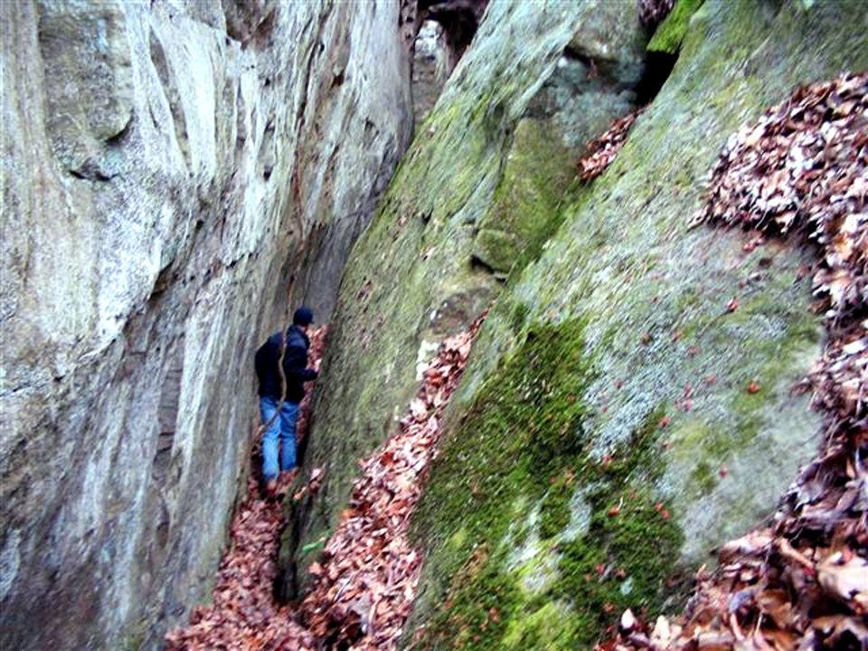
Lemon-squeeze yourself between two rock faces
PDL005
Location: 37.5859527587891, -89.0800018310547
L @ 3-way. Head W for brief stint on the River-to-River Trail (RTR), a 146-mile route from the Ohio River to the mighty Mississippi
PDL006
Location: 37.5865364074707, -89.0826263427734
R @ 3-way. Wind N above creekbed, staying on the RTR
PDL007
Location: 37.5881729125977, -89.0823745727539
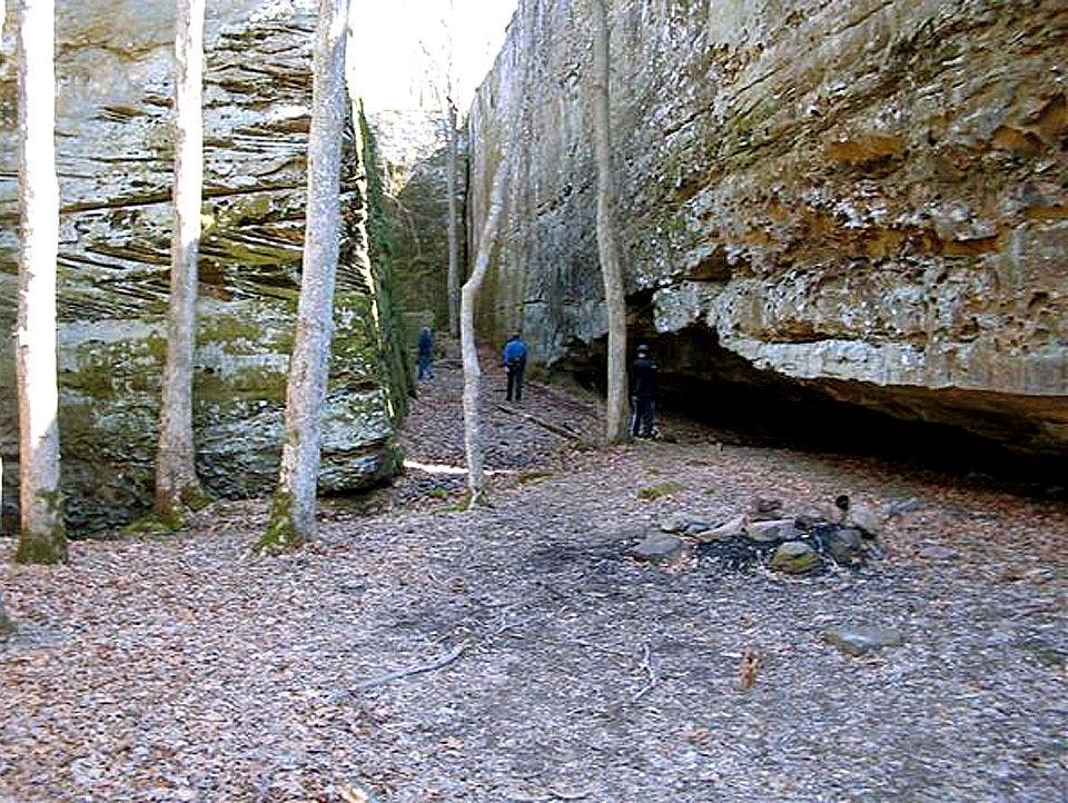
Caves—everywhere—on W wall. These overhung areas were used as shelters for centuries. This is a prime reason why Panther Den Wilderness was preserved in 1990, despite its tiny size (only 1,195 acres)
PDL008
Location: 37.5900230407715, -89.0811538696289
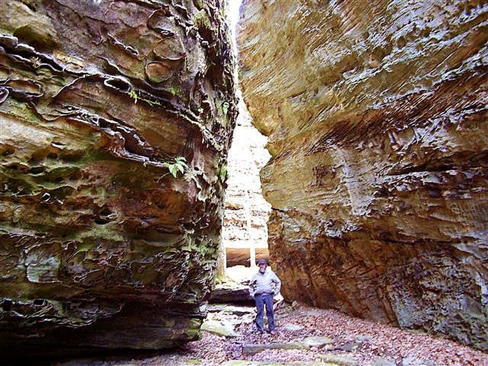
Panther Den: Enter the namesake rock formation in this park where unconfirmed echoes of panther growls have similar mythic status as Bigfoot does in the Pacific Northwest
PDL009
Location: 37.5944366455078, -89.0850296020508
L @ 3-way. Head NE up the ridge. Follow the trail as it curves up and around to the SW. Pine trees grace the ridgeline
PDL010
Location: 37.5857200622559, -89.0885696411133
L @ 3-way. Rejoin the county road and head S back to trailhead
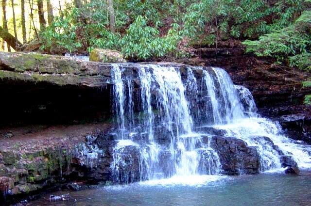
Waterfall
Location: 37.589771270752, -89.0810699462891
©Dan Sheehan
Rock Formations
Location: 37.5904388427734, -89.0811614990234
©Dan Sheehan
Trail to Panther Den
Location: 37.5895462036133, -89.0818710327148
©Dan Sheehan
Small canyon
Location: 37.5781936645508, -89.0800857543945
©Dan Sheehan