St. Louis, MO: Taum Sauk Mountain


Trail Facts
- Distance: 9.0
Waypoints
TST009
Location: 37.571068, -90.730103
Trail splits: Continue straight onto the Mina Sauk Falls loop
TST010
Location: 37.571167, -90.729553
Turn L to parking area, then veer R to high point
TST011
Location: 37.571068, -90.729202
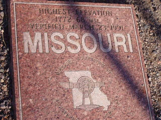
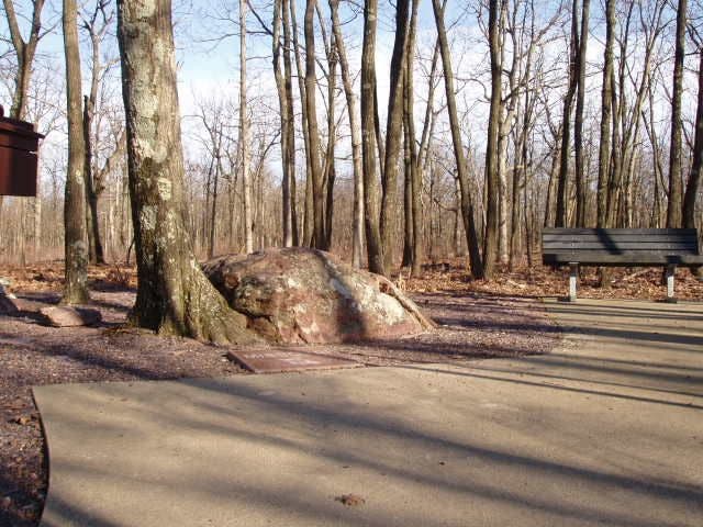
Taum Sauk, at 1,772 feet, is the highest point in Missouri; peak is marked by a boulder and a granite plaque
TST007
Location: 37.564747, -90.715454
Continue climbing NW; more than 200 million years ago, the peaks in this mountain range were once islands in a shallow sea
TST004
Location: 37.560596, -90.694023
Trail fl attens; head N
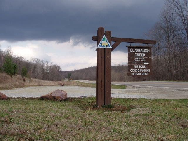
Ozark Trail trailhead
Location: 37.548534, -90.67997
Ozark Trail trailhead
© Shannon Davis
Granite high point marker
Location: 37.571068, -90.729111
Granite high point marker
© Shannon Davis
Restful summit of Taum Sauk
Location: 37.571362, -90.729286
Restful summit of Taum Sauk
© Shannon Davis
TST001
Location: 37.548332, -90.68087
Trailhead: Head N onto Ozark Trail (stay on W side of MO 21)
TST002
Location: 37.548, -90.688934
Sharp turn R, veering N on Ozark Trail; an un-
named trail continues straight along Claybaugh Creek
TST003
Location: 37.548935, -90.690903
A rocky outcropping affords excellent views of the ridge to the S
TST005
Location: 37.567333, -90.696999
Keep straight. Optional spur: Turn R to the summit of Russell Mtn.
TST006
Location: 37.565582, -90.706497
Clear views of the long ridgeline that forms Russell Mtn.
TST008
Location: 37.568218, -90.726784
The Ozark Trail turns left toward Mina Sauk Falls, the highest waterfall in Missouri when it’s running (sometimes dry in summer)