St. Louis, MO: Kinkaid Lake

Miles of undeveloped shorelines along 2,750-acre Kinkaid Lake attract anglers and hikers to this Jackson County gem—also some of southern Illinois’s only muskie territory. This 4.6-mile one-way follows a section of the 15-mile Kinkaid Trail through dripping wet terrain in the northwestern edge of the Shawnee National Forest. Beginning at the Buttermilk Hill Trailhead, the trail drops 300 feet toward the lake. In its first mile, large pines give way to maple and oak. Notice the scattered, fallen trees. A 2006 tornado devastated the forest south of here and choked off northern trail access to the Buttermilk Hill picnic area. As it turns northwest along the lakeshore, the trail traverses trickling creeks and skirts a series of moss-covered waterfalls before passing through boulder fields. Especially during spring and early summer, allot time to explore the abundant falls or stop for a picnic under the forest canopy. After hoping stones across a large stream near mile 4, this mapped route turns uphill for a 0.5-mile climb that ends at an unmarked junction with the Hidden Cove Trail. As an out-and-back excursion, this hike is 9.5 miles, but you can shorten the trip by leaving a vehicle near the Hidden Cove Trailhead. To extend the trip, continue north along the Kinkaid Trail, or turn west then south to follow the Waterfall Trail back to the Buttermilk Trailhead. -Mapped by Ted Villaire


Trail Facts
- Distance: 7.5
Waypoints
KIN001
Location: 37.7838974, -89.4733734
From the Buttermilk Hill Trailhead, follow the signs toward the picnic area. This route turns north and away from the southbound–and closed–picnic-area trail.
KIN002
Location: 37.7918816, -89.4679413
Turn left @ T-junction and proceed under a dense canopy of maple and oak.
KIN003
Location: 37.7945976, -89.4676895
Approaching the lakeshore, bypass a couple of large trees tossed to the ground by the tornado. The Kinkaid Lake trail is closed south of here due to tornado debris on the trail.
KIN004
Location: 37.798275, -89.4653931
The trail crosses several creeks as it skirts the lake’s western shore. Listen for nearby waterfalls like this one, which makes a 10-foot drop from a sandstone ledge into the lake.
KIN005
Location: 37.8013071, -89.465704
Watch for signs of beaver and an array of wildflowers such as violets and mayapples near the lake. You’ll likely catch sight of a great blue heron at the water’s edge and hawks soaring above the tree tops.
KIN006
Location: 37.8072071, -89.4780636
Three miles from the trailhead, the bluff drops steeply down into the lake. Little streams flowing through heaps of rocks frequently interrupt the trail.
KIN007
Location: 37.8106079, -89.4899673
During spring and early summer, factor in some extra time to inspect the abundance of waterfalls. After passing two different 8-foot-high waterfalls, the trail descends into wet bottomland woods. Cross a couple of little creeks, and you’ll soon encounter another waterfall that cuts through a solid chunk of sandstone.
KIN008
Location: 37.8161659, -89.4958191
At the T-junction with the wide trail, turnaround and retrace your steps. This unmarked junction provides access to the Hidden Cove Trailhead.
Mossy Rocks
Location: 37.8055496, -89.4749603
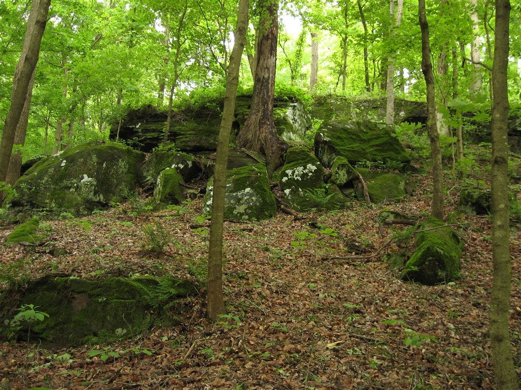
Big chunks of sandstone appear along the trail. Some are huge and some are small; all are blanketed with a thick velvety coat of moss. © Ted Villaire
Lake
Location: 37.8011169, -89.4653091
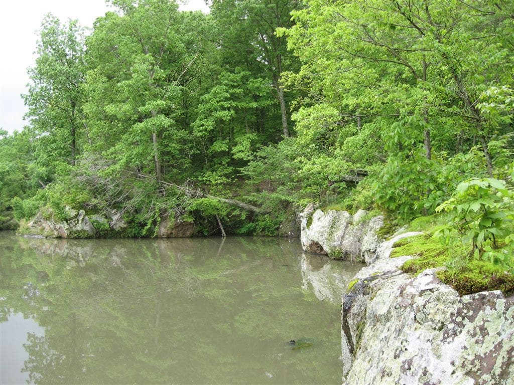
The undeveloped shoreline and finger coves of Kinkaid Lake attract solitude-seeking boaters and hikers. Ted Villaire
Stream
Location: 37.8073883, -89.4779739
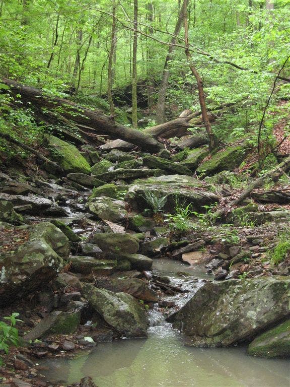
Streams and rocky heaps line the trail about halfway between the trailheads. Ted Villaire
Stream
Location: 37.8101463, -89.4948196
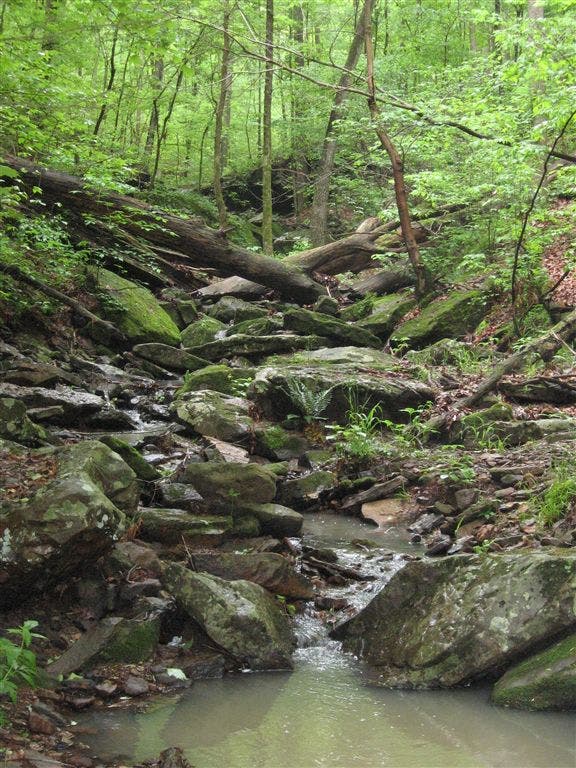
A larger stream in a small gully. Ted Villaire