St. Louis, MO: Bell Smith Springs Loop

You’ll find dramatic vistas and thousands of plant species, including the rare French’s shooting star, along this 3.6-mile loop that follows sandstone cliffs around Bay Creek. The first half-mile descends 200 feet into the hollow where four creeks converge and natural springs ensure rich displays of wildflowers such as cream violets and violet wood sorrels. Shed your shoes (twice) for easy fords of Bay Creek, exploring sandstone overhangs beneath the 125-foot span of the Shawnee’s largest natural bridge and a trickling falls 2 miles later. The last 2.5 miles of the hike skirts the cliff’s upper edge, 100-150 feet above the rocky creek and shoulder-to-shoulder with moss and fern-covered canyon walls before climbing back to the trailhead.
Mapped by: Ted Villaire


Trail Facts
- Distance: 5.9
Waypoints
BEL001
Location: 37.521874, -88.656621
Start at the parking area at the entrance to the Rebud Campground. Cross the park road and follow the switchbacks into the canyon.
BEL002
Location: 37.522827, -88.654958
At the bottom of the bluff, turn right on the blue trail and look for flowers including dwarf larkspurs.
BEL003
Location: 37.521141, -88.655067
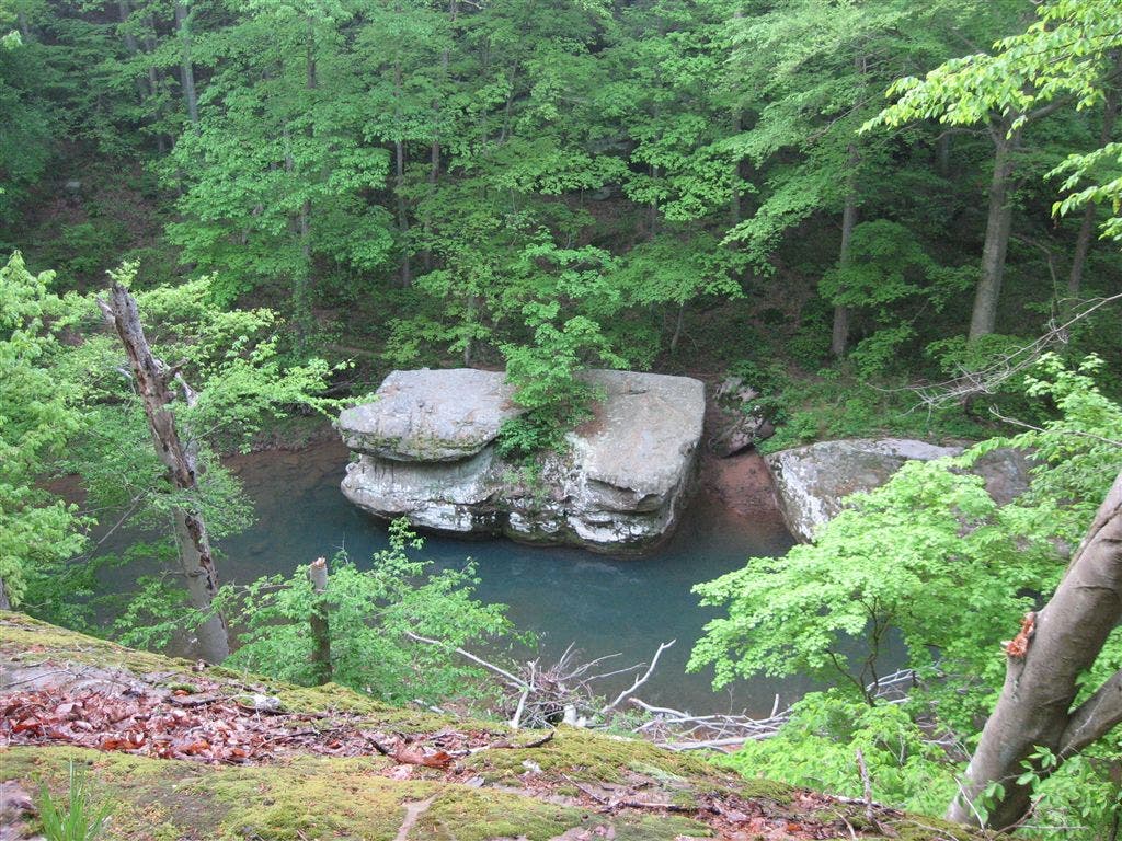
Enjoy the view from the rocky ledge 100-feet above Bay Creek.
BEL004
Location: 37.518646, -88.65538
Turn left to descend into the hollow along the yellow trail and a narrow stairway carved in the rock by the Civilian Conservation Corps circa 1930.
BEL005
Location: 37.51844, -88.655205
Turn left to explore the sandstone overhangs along the water’s edge, but continue on this route by fording the creek. Be careful: the bottom is littered with shoe-box-sized rocks.
BEL006
Location: 37.518364, -88.655052
Climb the bank to the base of the 30-foot sandstone arch. Head south along the yellow trail and pass climbing bars (a shortcut to waypoint BEL008) embedded in the sandstone.
BEL007
Location: 37.5145, -88.654625
The path brushes vertical walls covered by lichen and moss. Towering beech, hickory, sugar maple, and oak shade the trail.
BEL008
Location: 37.518078, -88.654297
Pass the climbing bars and walk the 125-foot span of the natural bridge. Be careful: the wet sandstone gets slippery.
BEL009
Location: 37.520126, -88.653709
The yellow and blue trails merge at this junction; continue straight along the blue path.
BEL010
Location: 37.523445, -88.651421
Long stretches of trail are solid rock. Below, the creek disappears under a deep rock overhang.
BEL011
Location: 37.521809, -88.641212
Compared to the previous ford, the creek here is narrower and a bit deeper. Follow trail markers to the opposite shore.
BEL012
Location: 37.522861, -88.654931
Work your way around some deadfall and turn right on the blue trail, retracing your steps to the trailhead.
Bay Creek view
Location: 37.521138, -88.655006
The surprisingly blue-tinted waters of the creek surround enormous sandstone boulders that fell from the cliff. © Ted Villaire
Natural arch
Location: 37.518337, -88.654968
Behind this gray sandstone arch is a 40-yard opening through solid rock. After a rain, water flows into the chasm below. © Ted Villaire
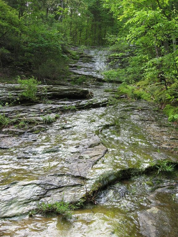
Bay Creek ford
Location: 37.521812, -88.641136
Kick off your shoes and socks and for another ford. A walking stick may help you stay balanced on slippery rocks. © Ted Villaire